Timber Hunting Tract with






For Sale
$500,000
Pending
Maple Lane, Fort Madison, IA 52627
LAND - Other - Fort Madison, IA
Property SizeContact for details
Lot Size80.00 Acres
Days on Market53
Property Features for Maple Lane
General Information
Property type
Land
Property subtype
Other
Directions
From Ft Madison, head toward Ave B and continue to follow County Rd J40. Take a sharp left onto 180th St. 180th St turns slightly right and becomes Maple Lane. The property will be slightly on your left.
Standard status
Pending
APN
023108243000030
Lot size
80.00 Acres
Taxes and HOA fees
Tax Year
2024
Tax Description
E1/2 E1/2 SW W1/2 E1/2 SW
Tax Annual Amount
1214
Legal Description
E1/2 E1/2 SW W1/2 E1/2 SW
Building Details
Architectural style
Other
Listing Agency:
Whitetail Properties Real Estate, LLC
(217) 285-9000
Listed By:
Benjamin Harshyne · License #***
(319) 853-1162
Added: Jul 3
Changed: Jul 27
Last Checked: Aug 24 at 10:06PM
MLS# 6340231
Copyright © 2026 NoCoast MLS. All rights reserved. All information provided by the listing agent/broker is deemed reliable but is not guaranteed and should be independently verified.
Investment Insights
Based on property information with market context.
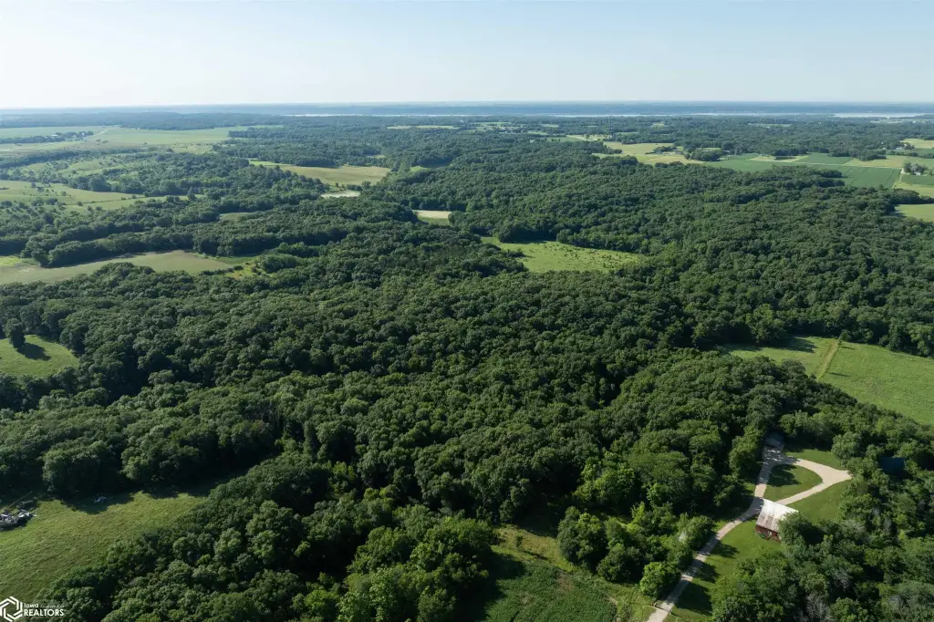
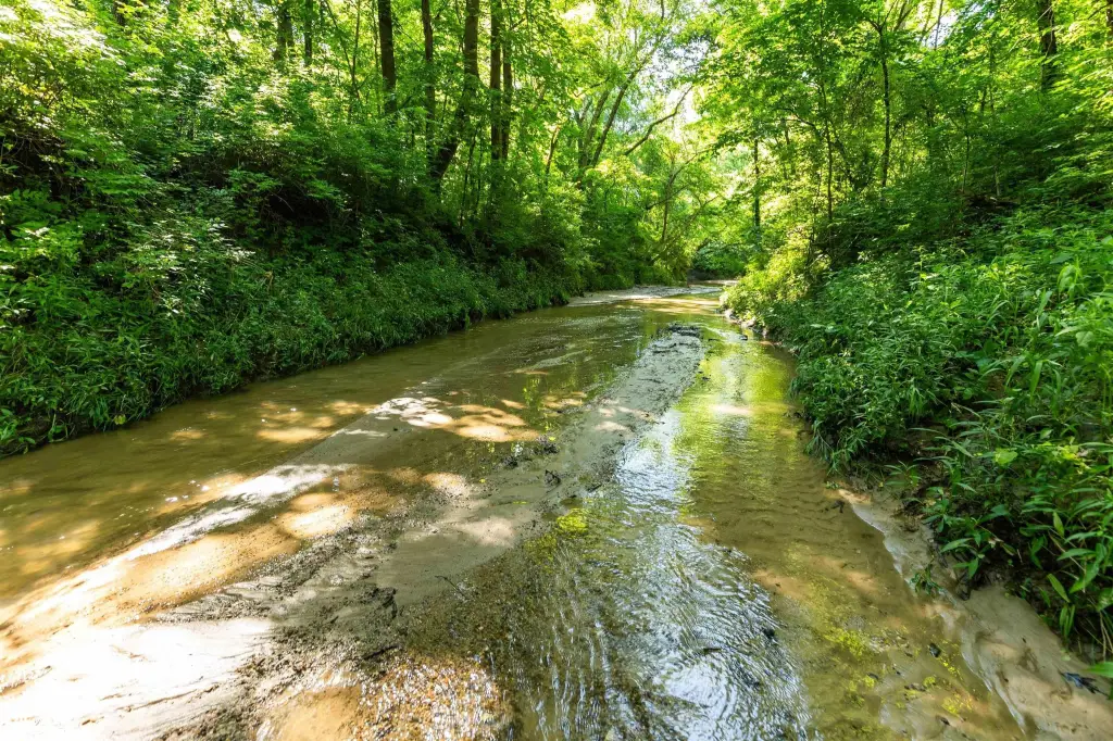
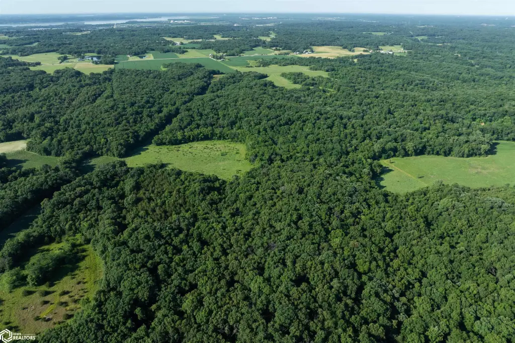
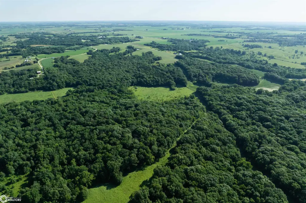
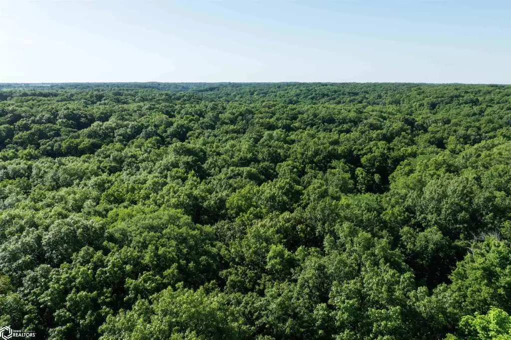
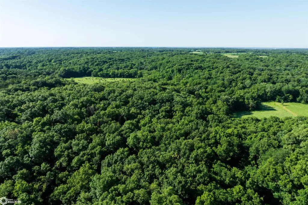
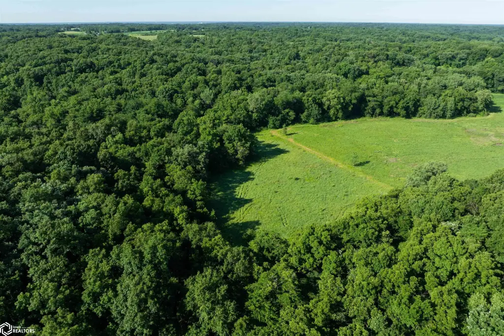
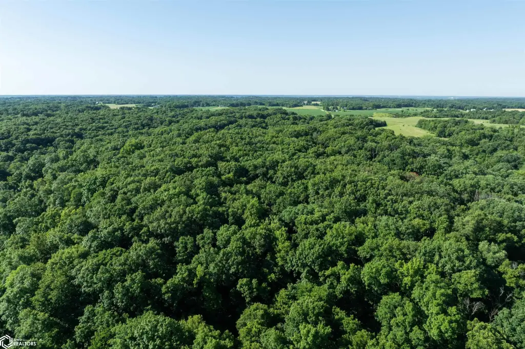
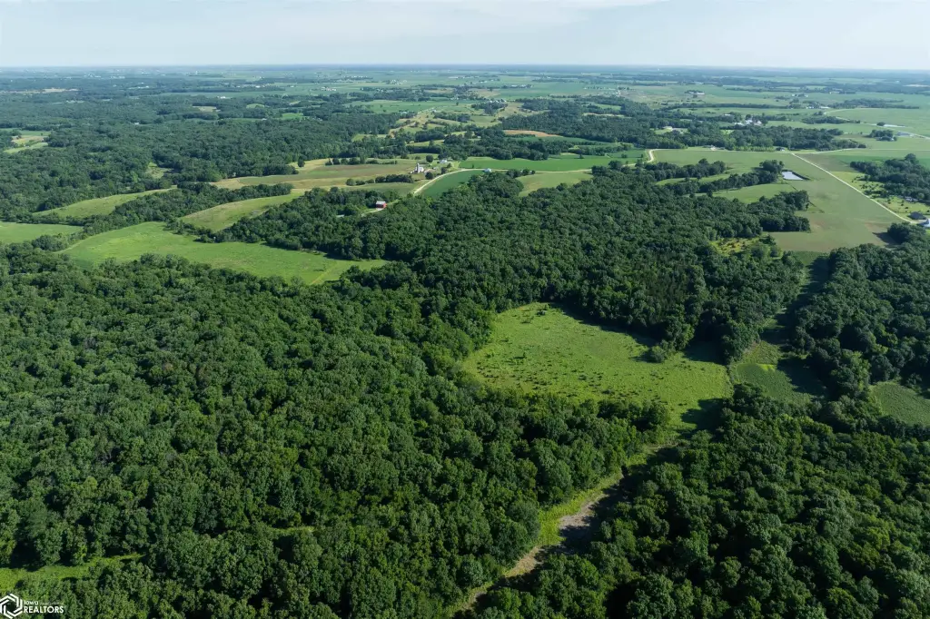
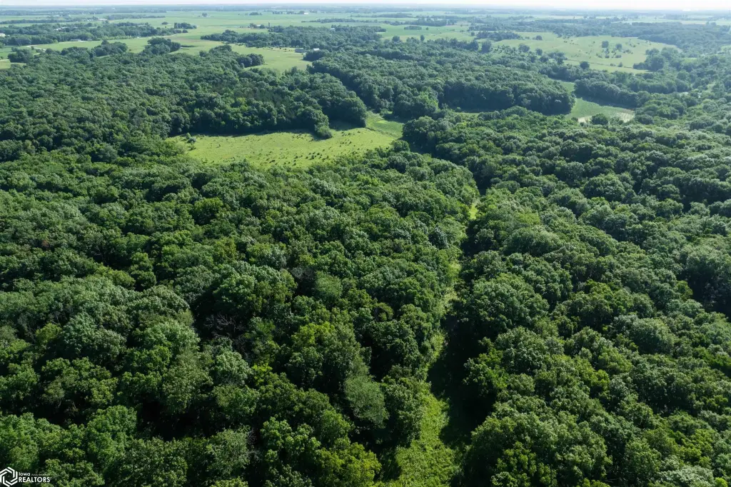
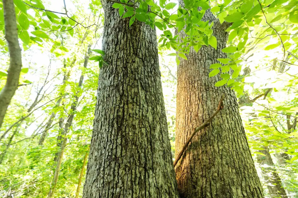
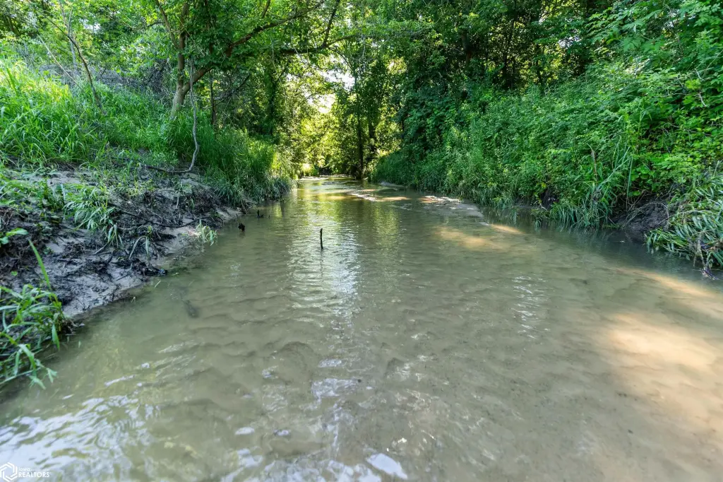
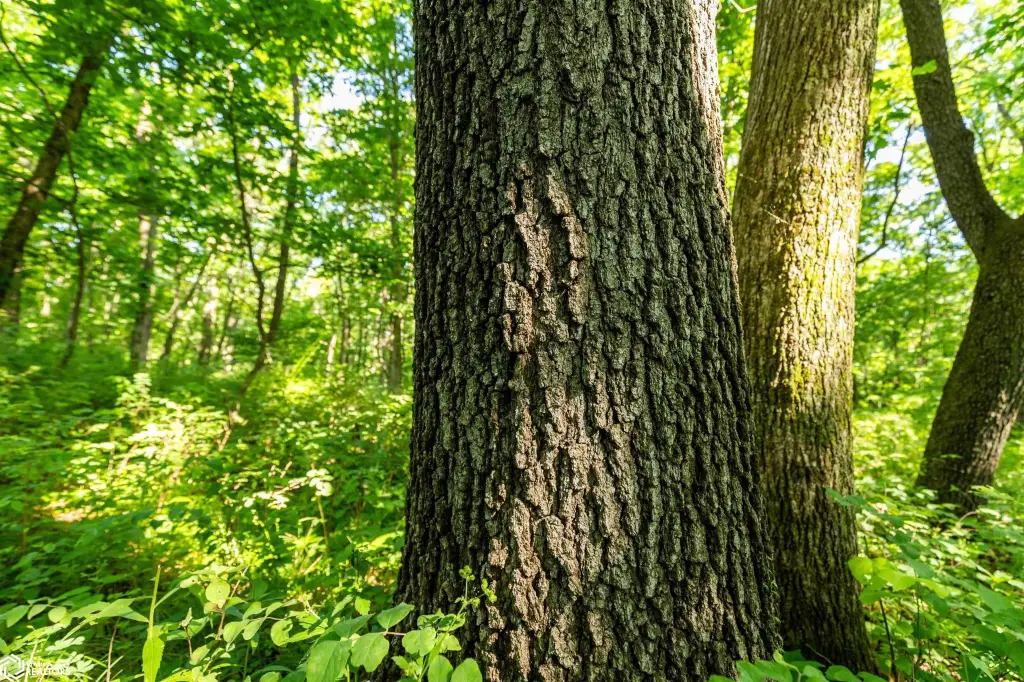
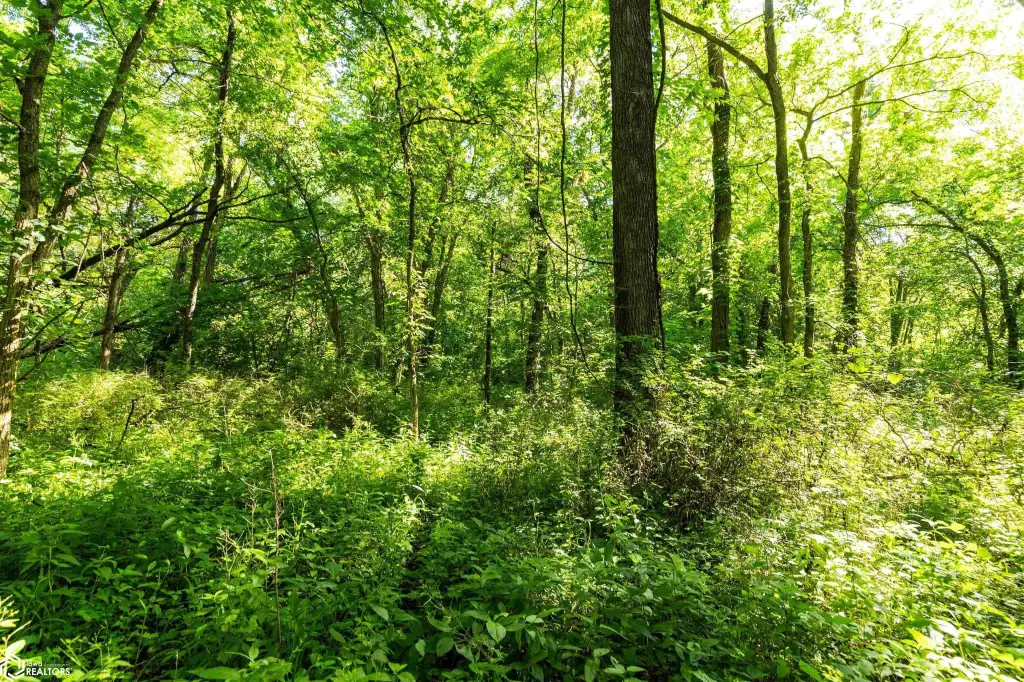
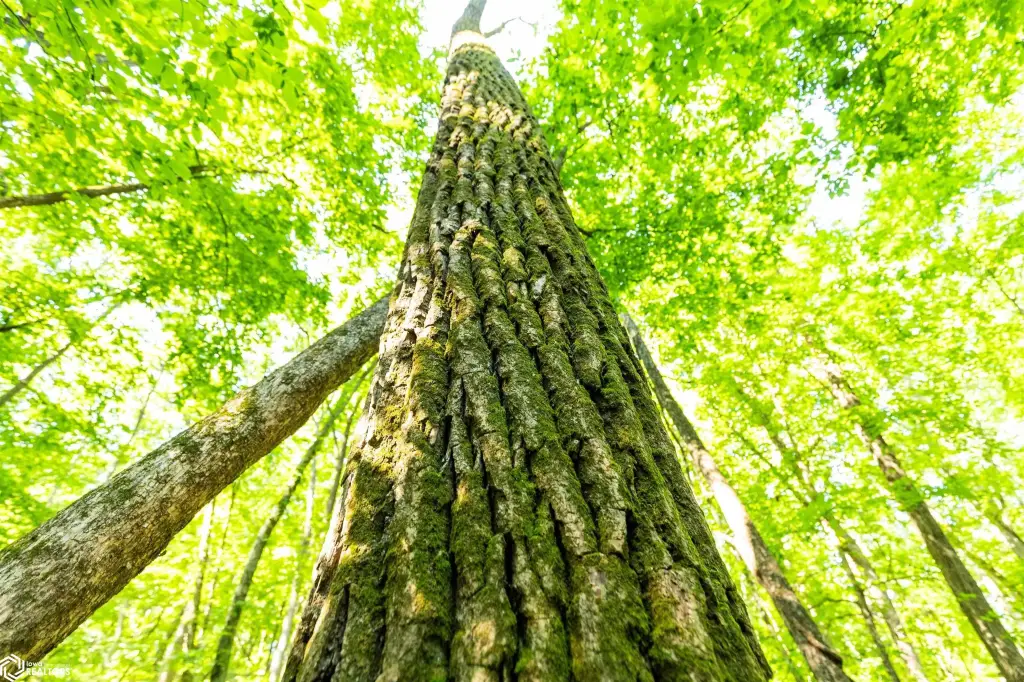
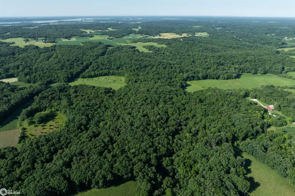
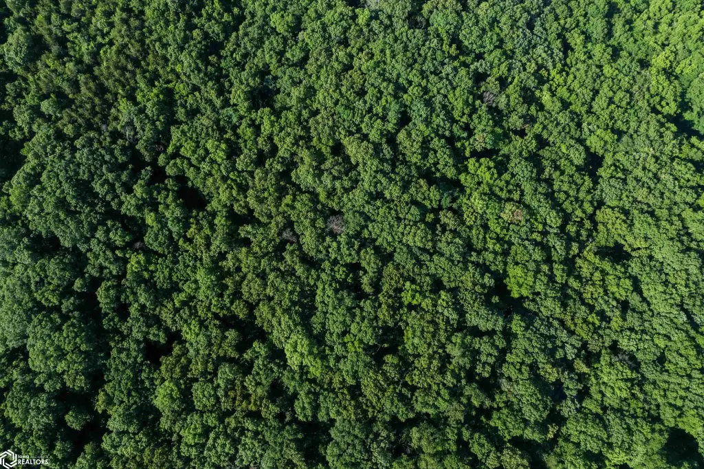
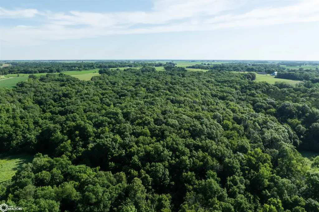
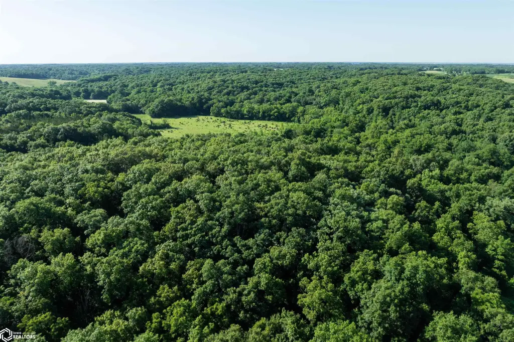
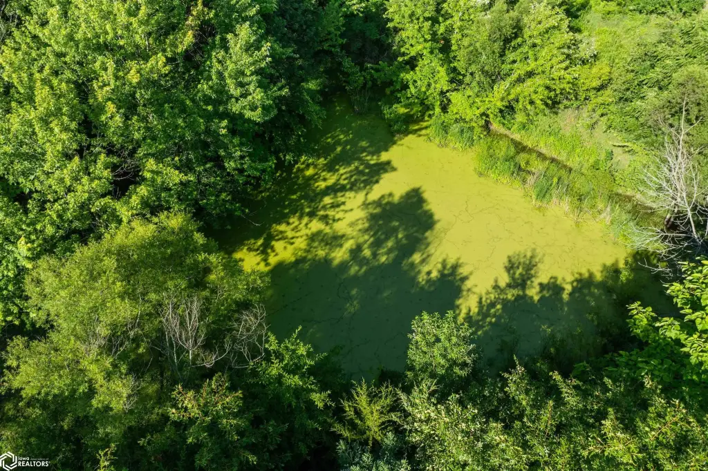
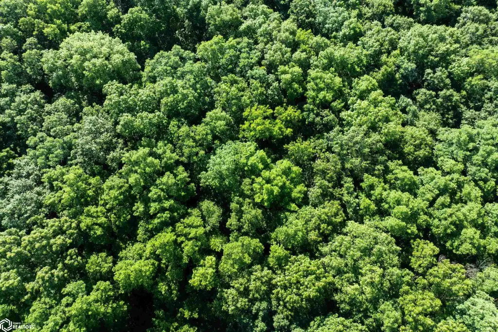
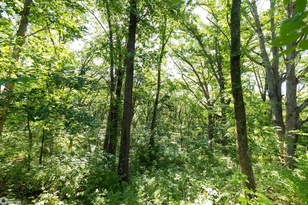
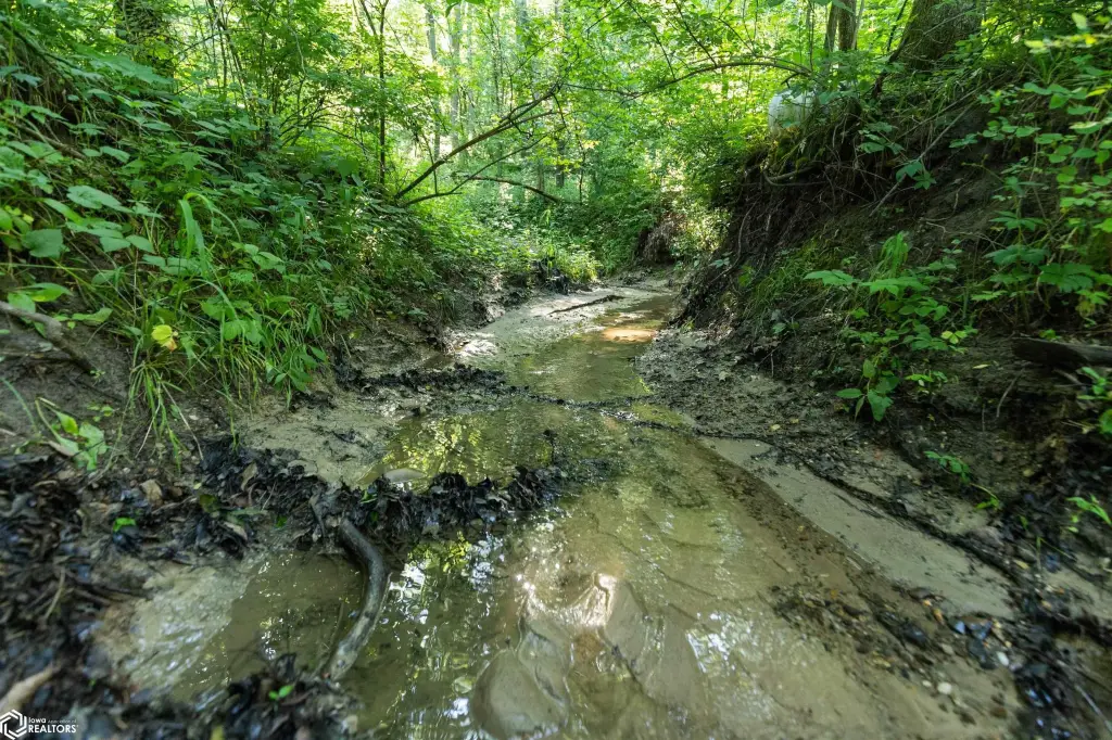
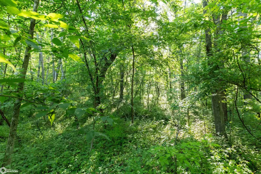
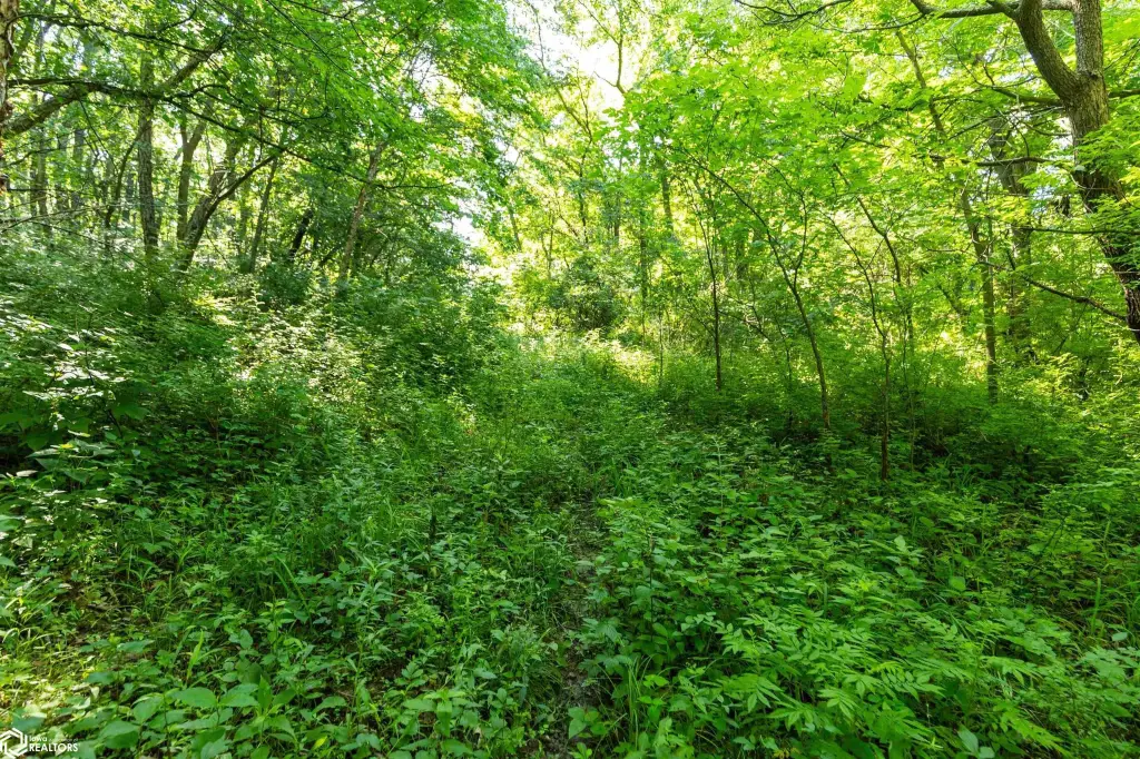
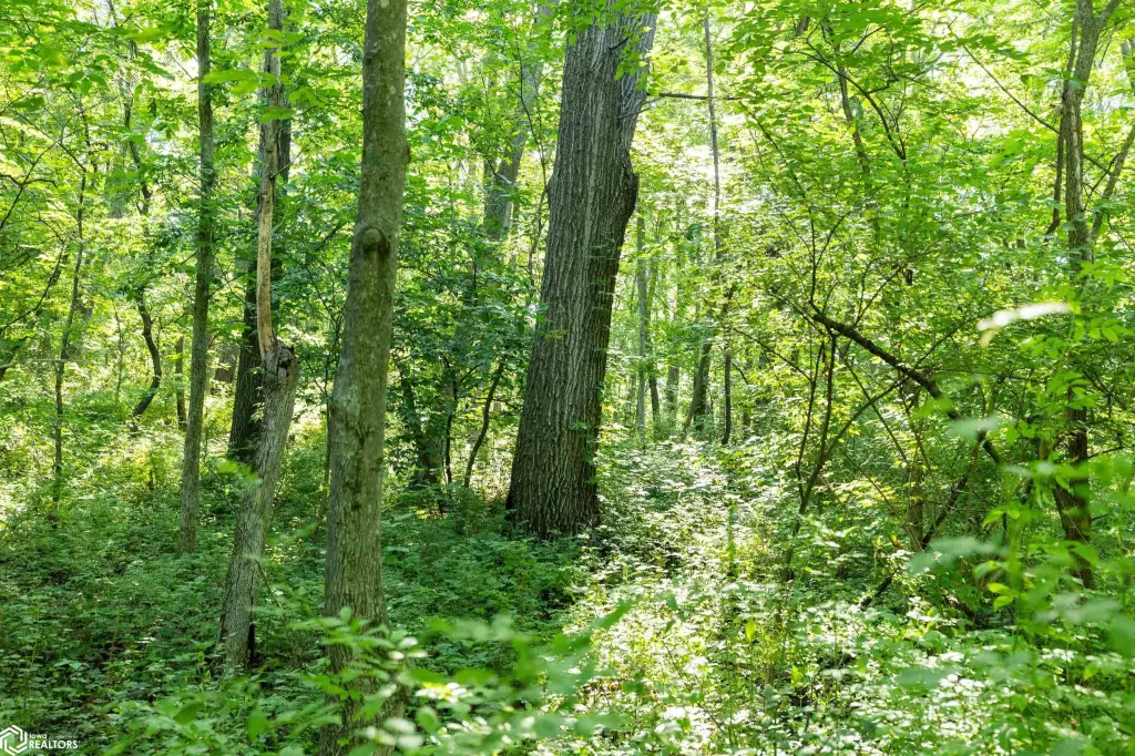
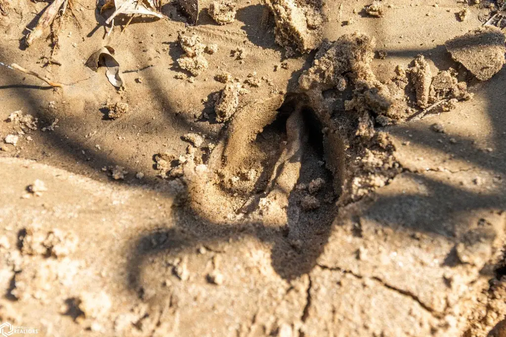
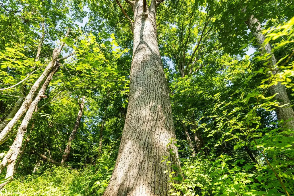
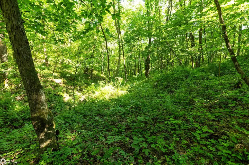
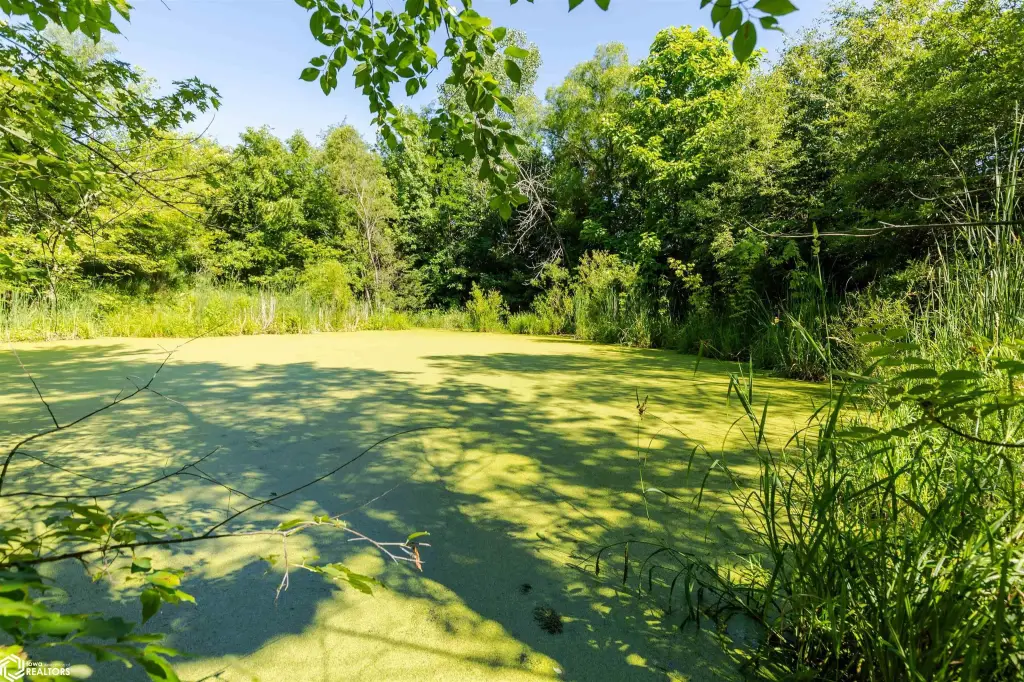
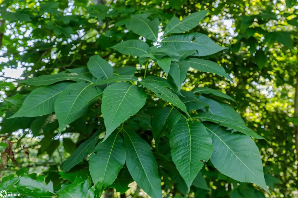
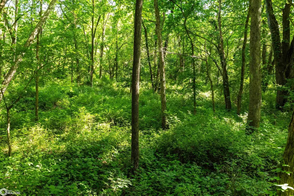
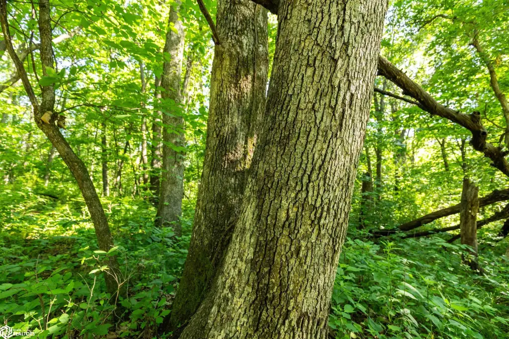
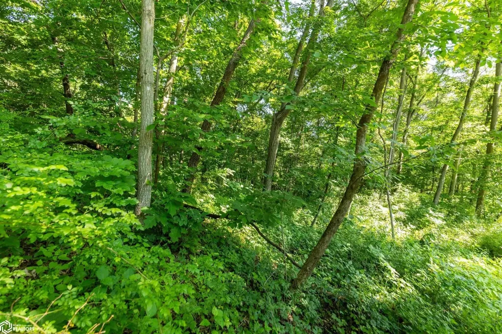
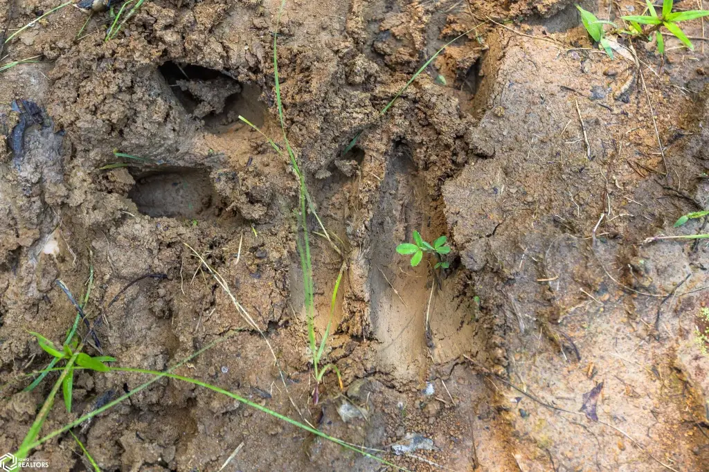
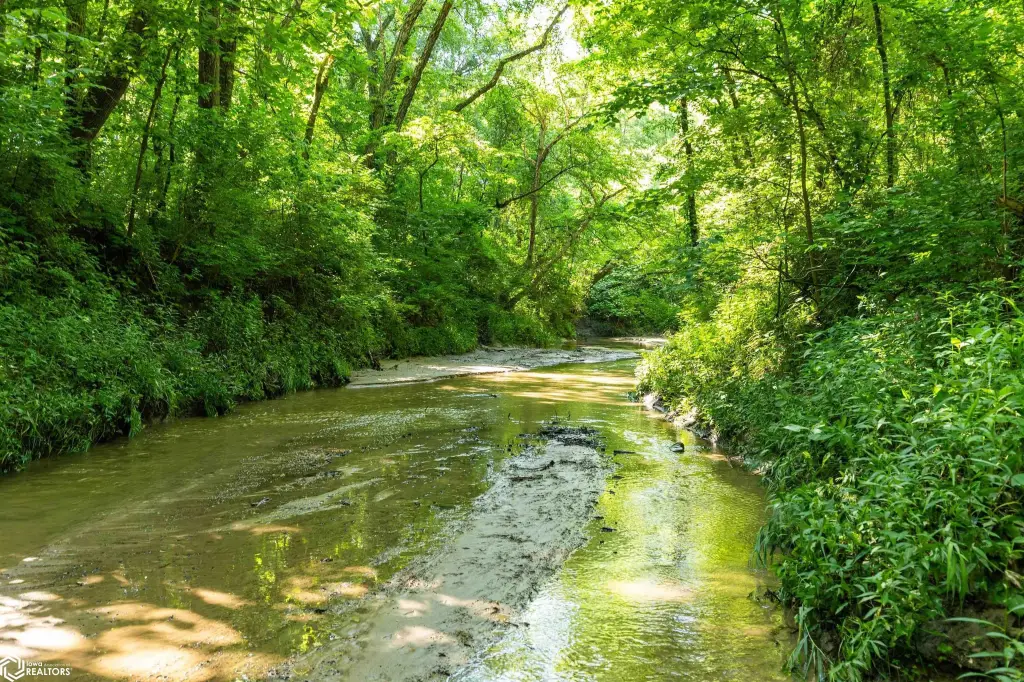
This 80-acre recreation and hunting tract is characterized by mature hardwood timber and varied terrain, including rolling hardwood ridges, creek bottoms, and natural travel corridors. Devil's Creek runs through the center of the property, providing water and helping shape wildlife movement. The timber is primarily white oak, red oak, walnut, and other mature hardwoods.
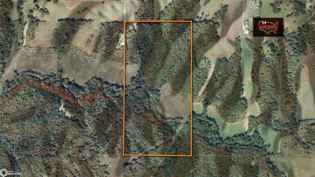
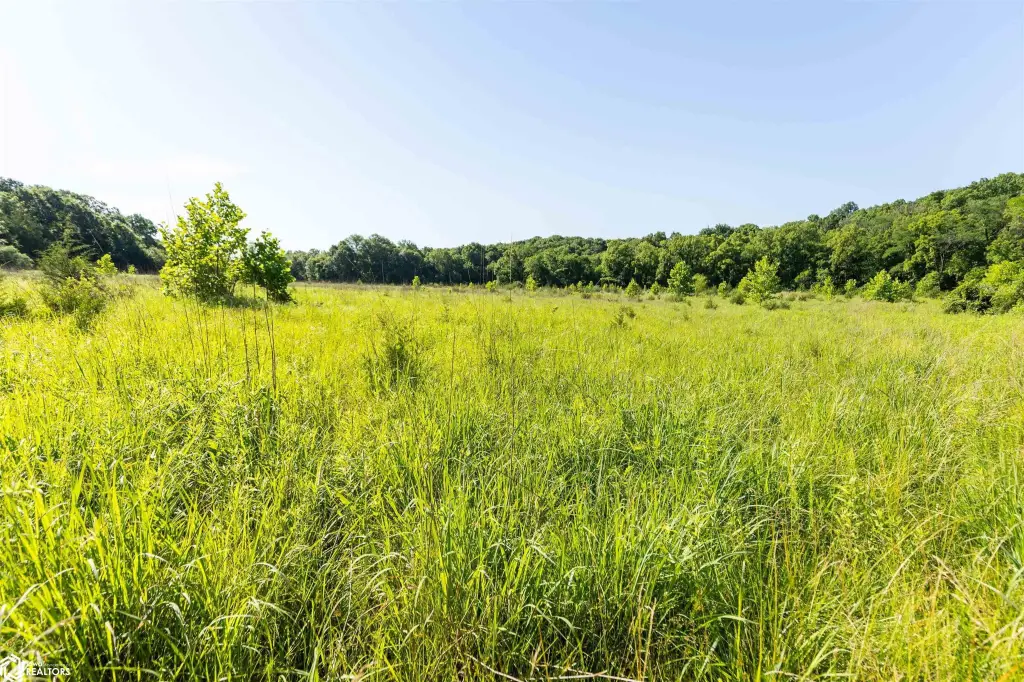
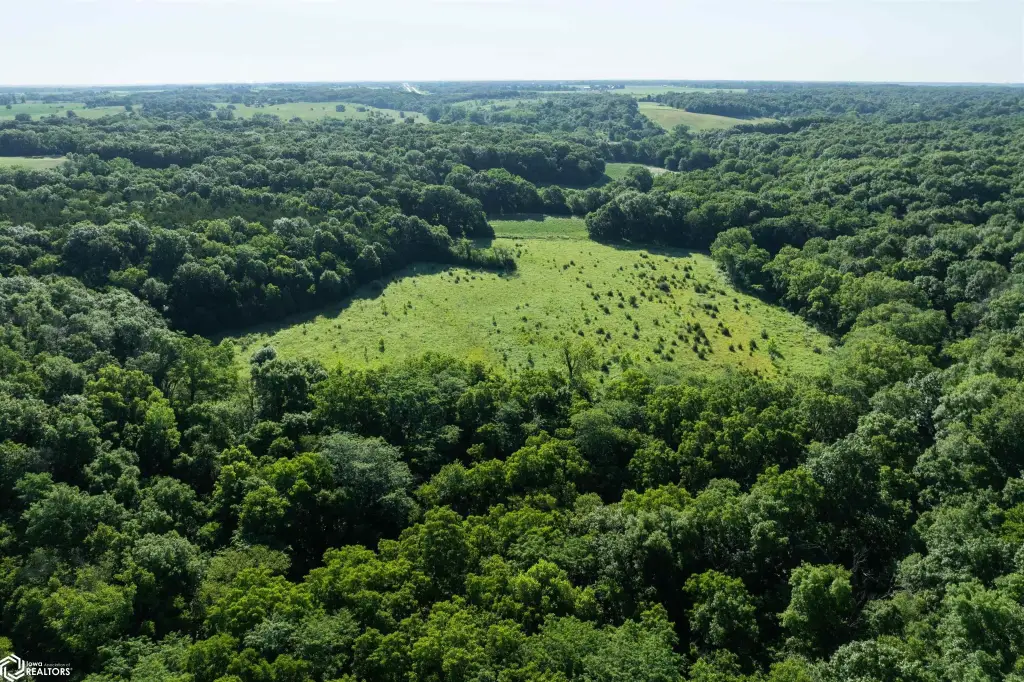
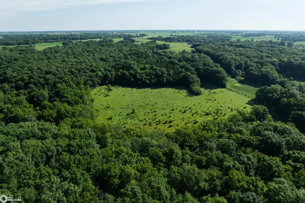
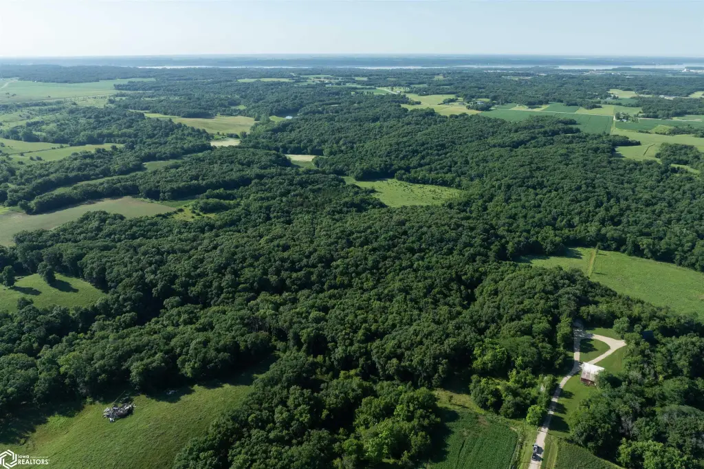
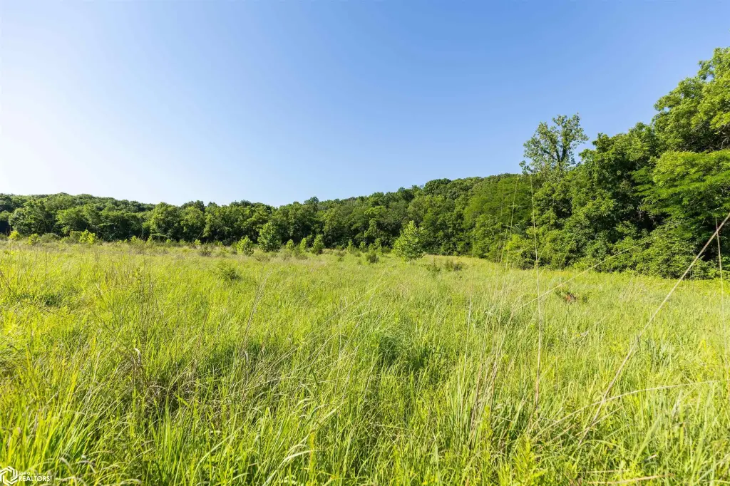
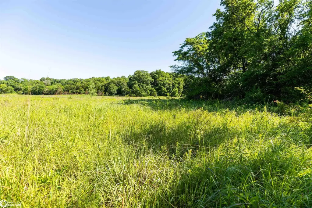
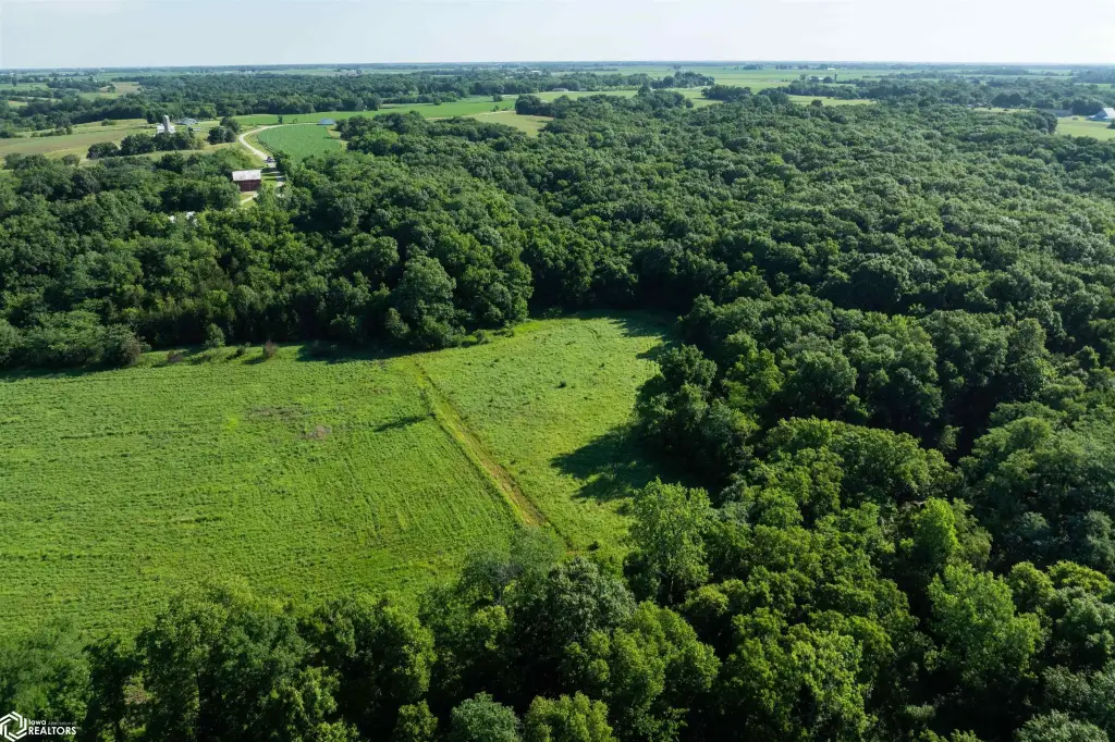
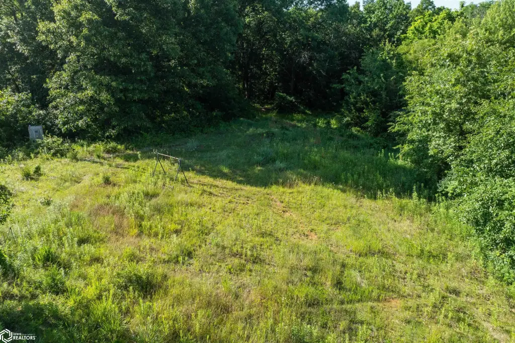
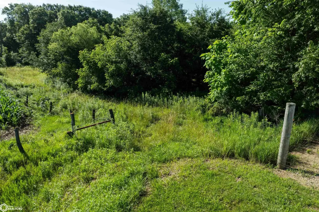
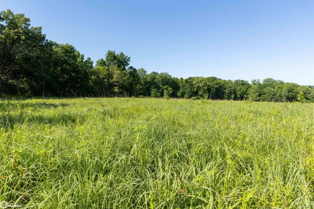
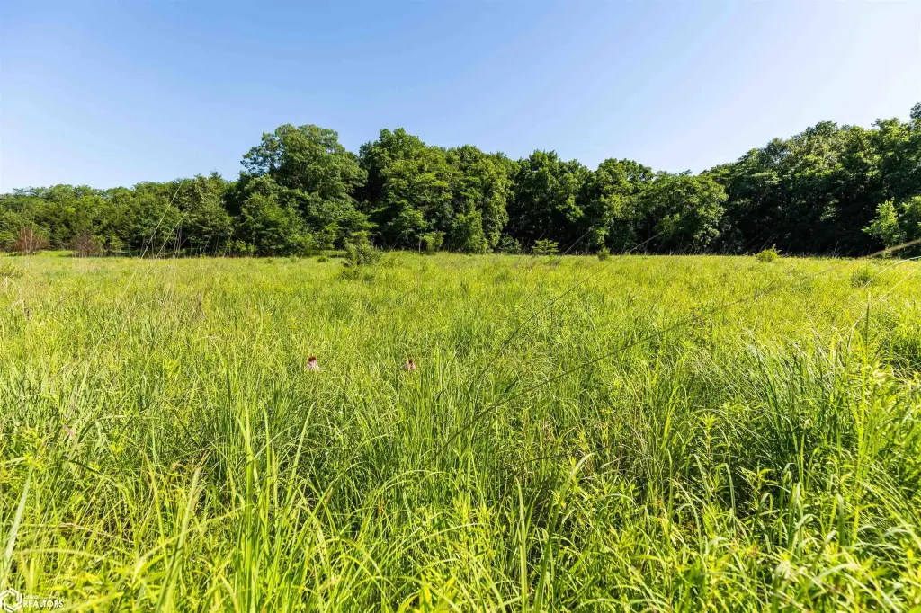
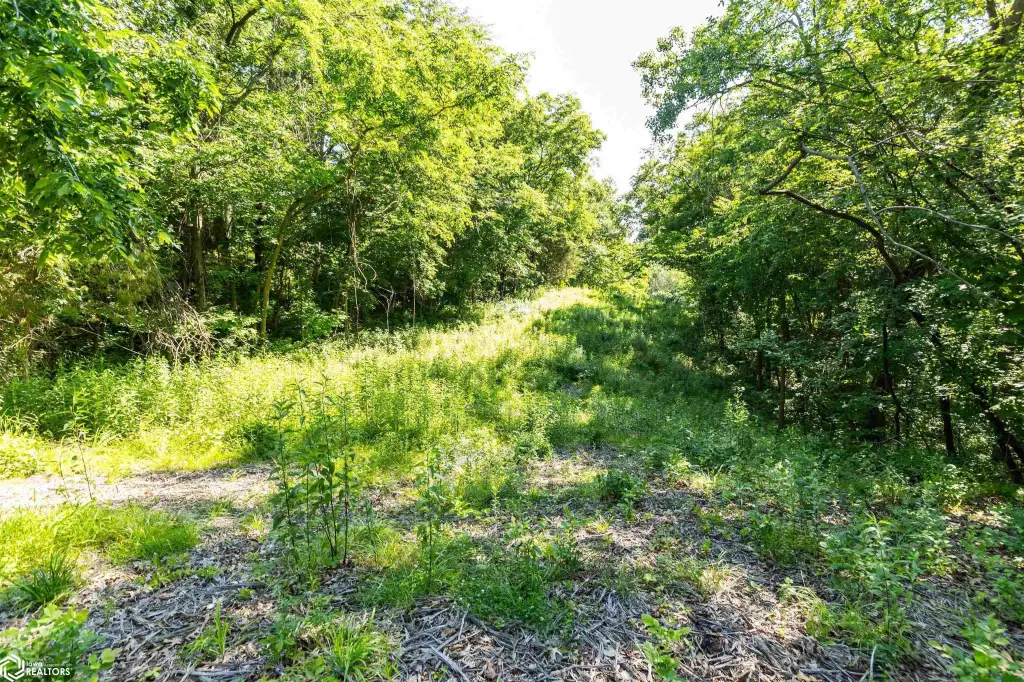
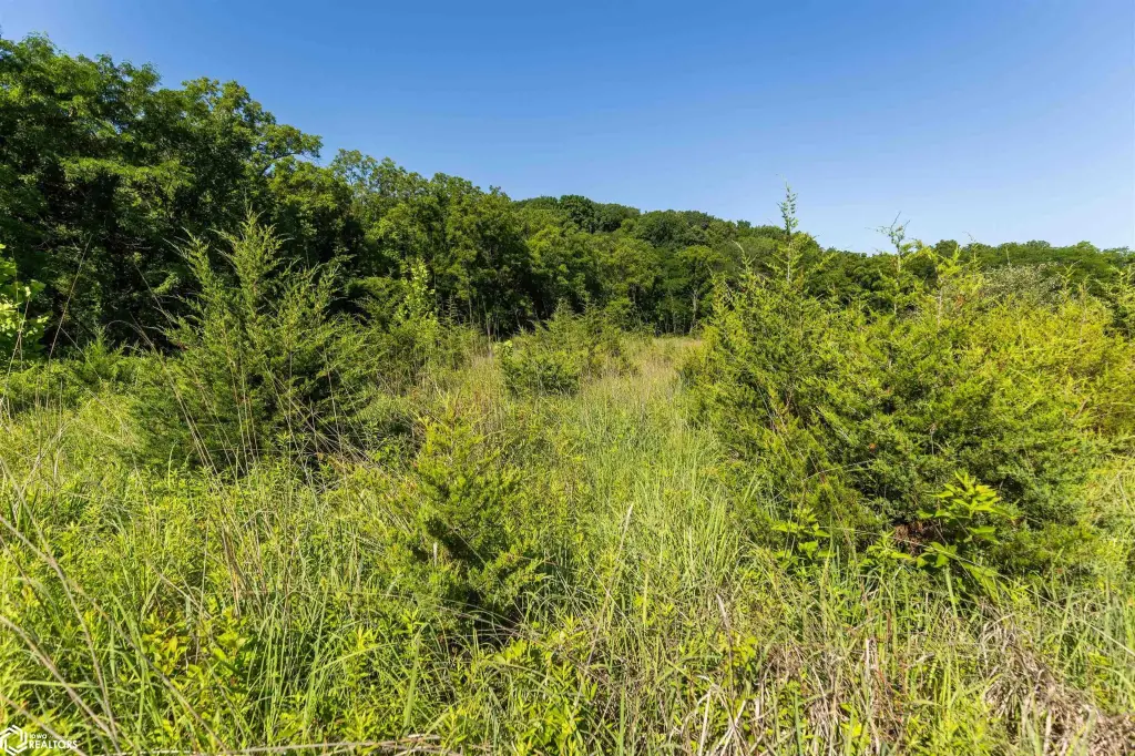
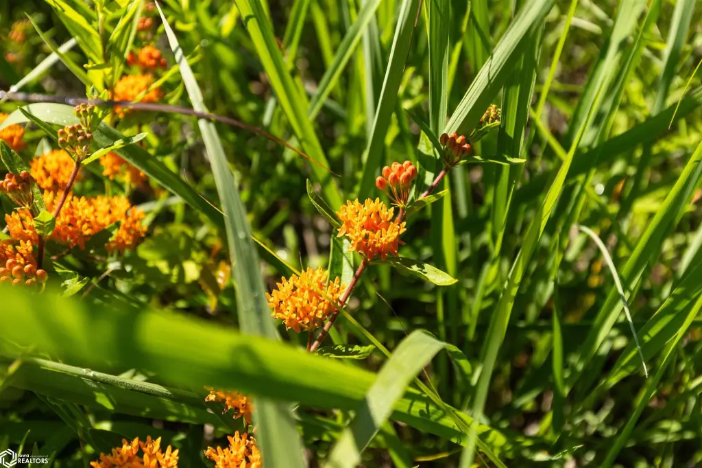
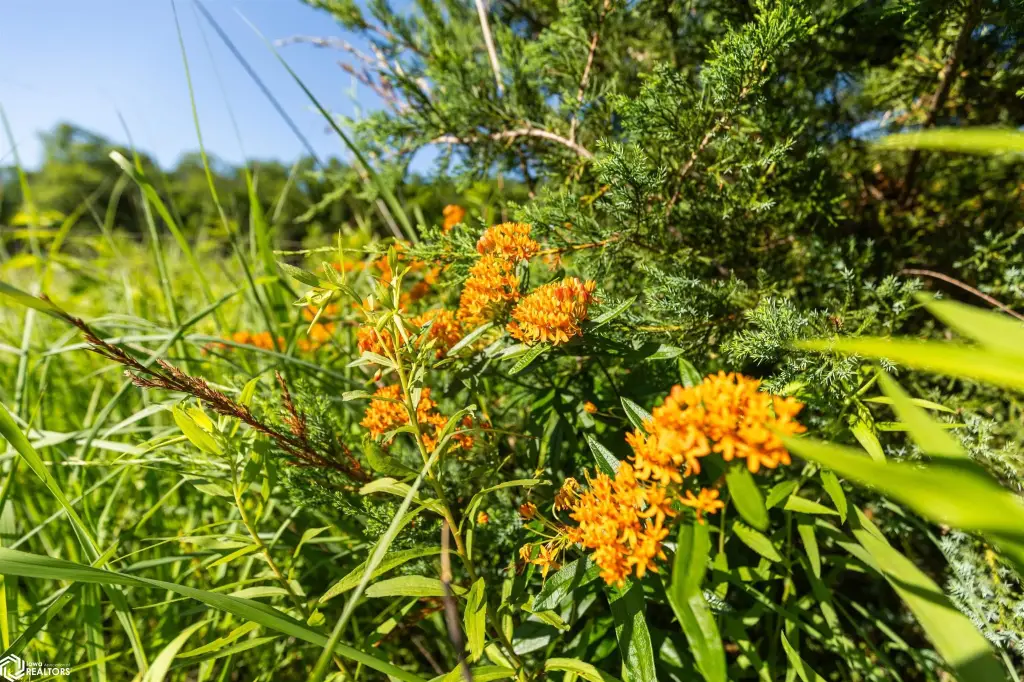
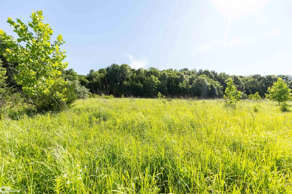
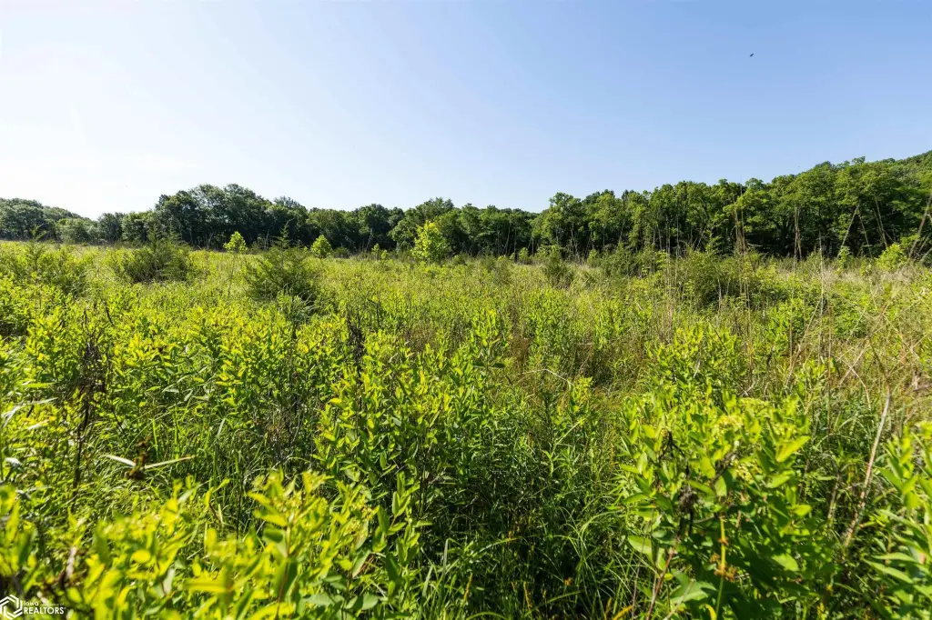
Access is from the northwest corner of Maple Lane, at the end of a dead-end road between West Point and Fort Madison, within the Devil's Creek area. A trail system leads south from the entrance to a 1.5-acre opening near the creek that is currently established in native grasses and forbs. Continuing east, a second opening of approximately 7 acres provides space for food plot and habitat improvements.
The two fields were in CRP until 2025. Future owners will need to own the property for a year and then consult with Lee County USDA to determine future eligibility.
Access is from the northwest corner of Maple Lane, at the end of a dead-end road between West Point and Fort Madison, within the Devil's Creek area. A trail system leads south from the entrance to a 1.5-acre opening near the creek that is currently established in native grasses and forbs. Continuing east, a second opening of approximately 7 acres provides space for food plot and habitat improvements.
The two fields were in CRP until 2025. Future owners will need to own the property for a year and then consult with Lee County USDA to determine future eligibility.
Key Highlights
- 80‑acre all‑timber tract in eastern Lee County, Iowa, located at the end of a dead‑end road between West Point and Fort Madison
- Devil's Creek runs through the center of the property, providing water and helping shape wildlife movement
- Rolling hardwood ridges, creek bottoms, and natural travel corridors offer varied hunting terrain
Property Analytics
Property Profile
Current Use
Location Intelligence
Demographics for 52627, IA
12,350
Population
6,134
Households
2
Avg Household Size
43
Median Age
21%
College-Educated
95%
High-School Grad
63.9 sq mi
ZIP Area
193
Density / Sq Mi
$54,864
Median Household Income
$39,058
Median Earnings
$830
Median Rent
$111,700
Median Home Value

Questions? Ask Rey
Realmo’s AI knows this listing — price, zoning, demand, history. Ask anything.







Frequently Asked Questions
What type of property is this?
Hunting land - 80-acre all-timber property in eastern Lee County with Devil's Creek, hardwood ridges, and two established openings.
Where is this hunting land located?
The property is located at Maple Lane Fort Madison, IA.
What is the asking price?
The asking price for this property is $500,000.
What are key features of this property?
This property features: 80‑acre all‑timber tract in eastern Lee County, Iowa, located at the end of a dead‑end road between West Point and Fort Madison; Devil's Creek runs through the center of the property, providing water and helping shape wildlife movement; Rolling hardwood ridges, creek bottoms, and natural travel corridors offer varied hunting terrain



