MAP 105-80-00-039.00 D Street, Louisa, KY 41230


- Added:
- Jan 15, 2026
- Days on Market:
- 169
- Last Refresh:
- Jul 3 at 6:06 pm
Property Features for MAP 105-80-00-039.00 D Street
General Information
- Property type
- Land
- Property subtype
- Other
- Standard status
- Active
- Lot size
- 3.53 Acres
Listing agent Natasha Dietlin (606) 703-3824
Listing office CENTURY 21 Advantage Realty 911 N Main St, London, KY (606) 878-0021
Listing date Jan 15, 2026
Copyright © 2026 ImagineMLS. All rights reserved. All information provided by the listing agent/broker is deemed reliable but is not guaranteed and should be independently verified.
HighLights
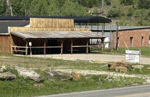
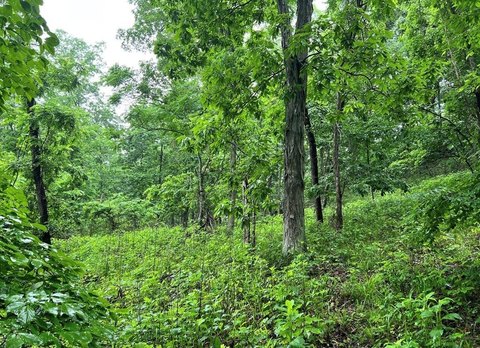
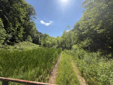
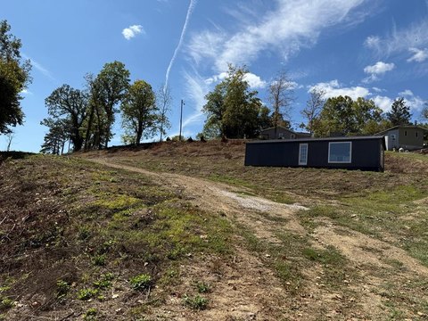
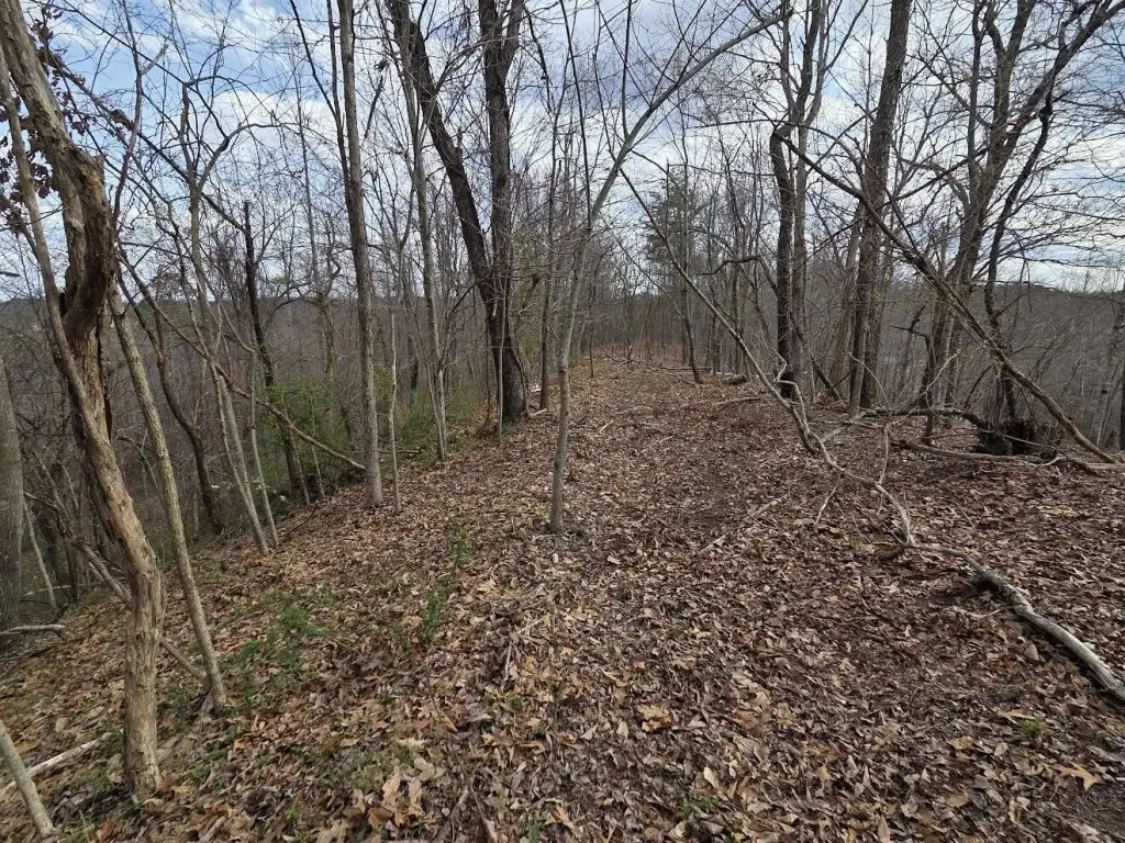
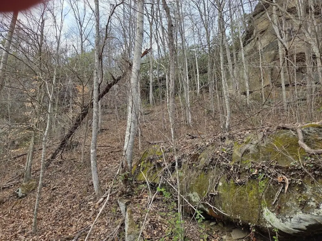
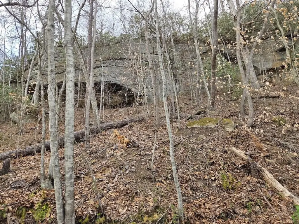
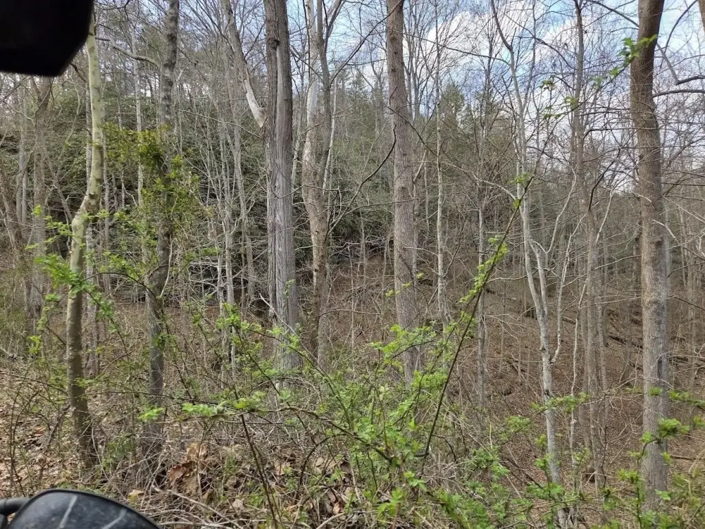
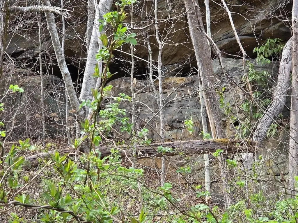
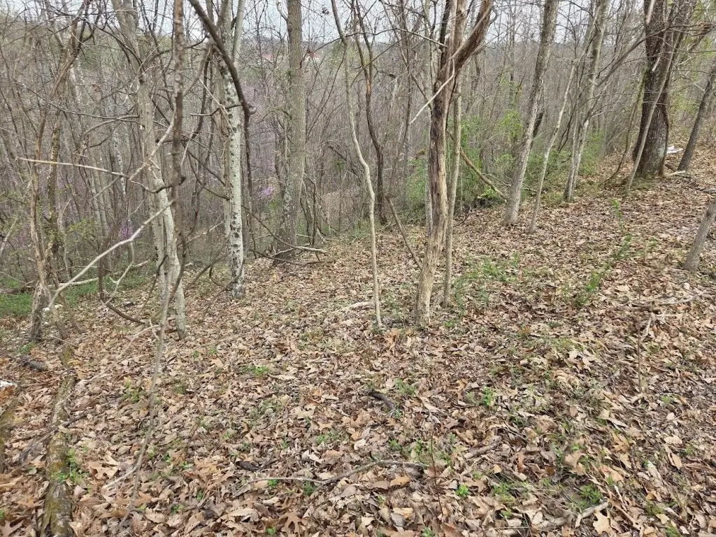
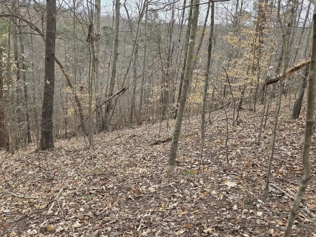
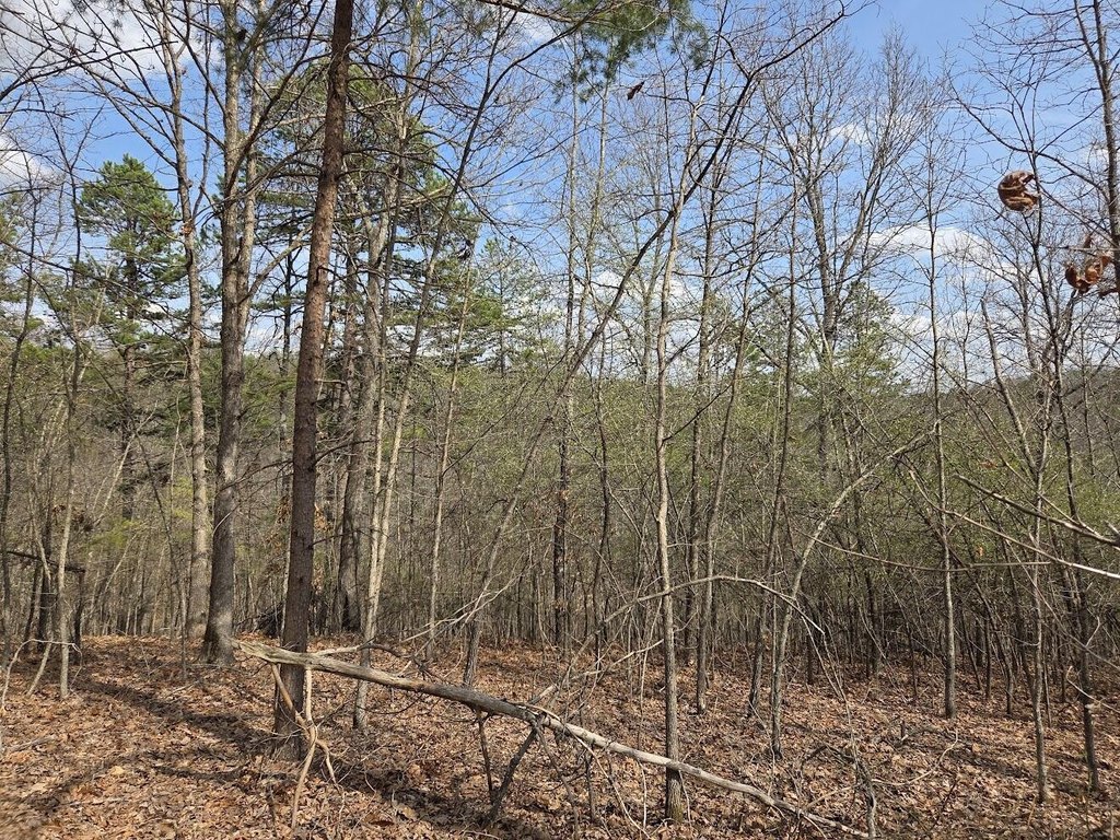
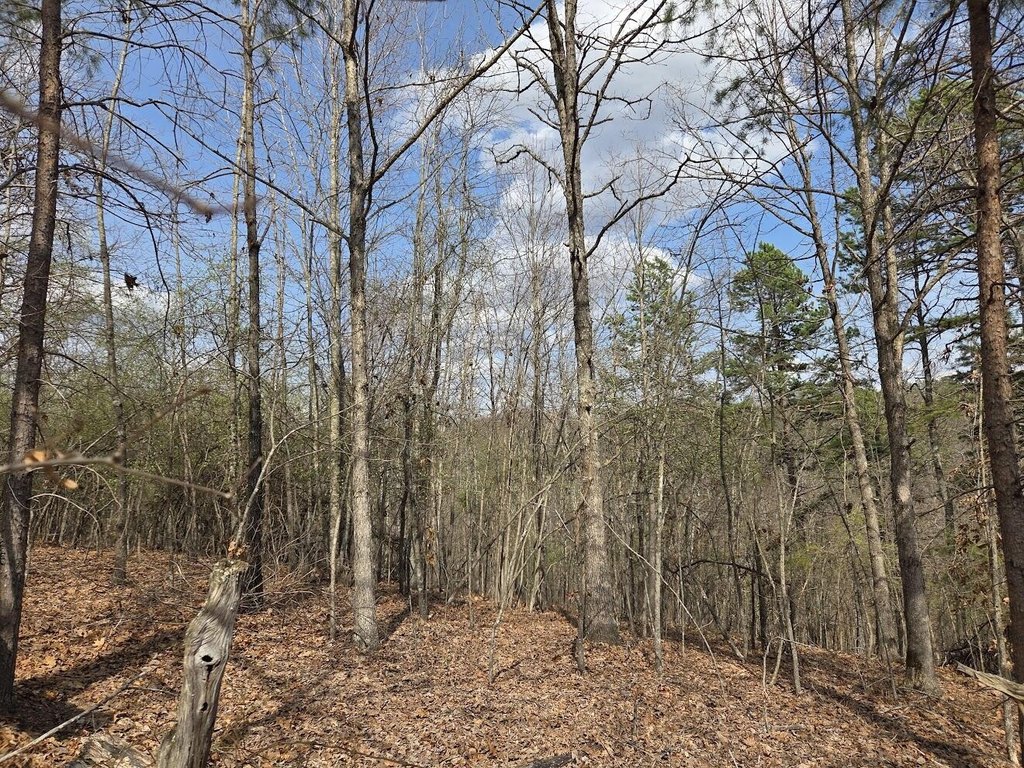
- 3.53+/- acre tract recently surveyed as commercial
- Rolling hills with mature trees and multiple usable flat areas
- Conveniently located near hospitals, schools, shopping, dining, and residential development
- Buyer and buyer's agent to verify zoning/use for intended investment, development, or mixed‑use use
Overview
The property is located on D Street in Louisa, Kentucky within Lawrence County. The seller notes convenience to hospitals, schools, shopping, dining, and residential development, which may support a range of commercial or mixed-use concepts depending on approvals.
Because the land has been surveyed as commercial and includes several flatter build-ready areas, it may be a practical fit for buyers exploring development, investment, or mixed-use opportunities. Verification of zoning and allowable uses is required, but the site’s combination of mature tree coverage and workable topography can be considered when evaluating design, access, and overall program fit.
Current Use by Public Records
Map
- City
- Louisa
- County
- Lawrence
- State
- Kentucky
- Longitude
- -82.605317
- Latitude
- 38.091236