Cow Creek Map 015-00-00-034, Salyersville, KY 41465
- Added:
- Feb 23, 2026
- Days on Market:
- 124
- Last Refresh:
- Jun 27 at 5:06 am
Property Features for Cow Creek Map 015-00-00-034
General Information
- Property type
- Land
- Property subtype
- Other
- Standard status
- Active
- Lot size
- 238.30 Acres

Listing agent Doug Wireman (606) 205-6630
Listing office First Choice Realty & Assoc. KY (606) 788-9002
Listing date Feb 23, 2026
Copyright © 2026 Eastern Kentucky Association of Realtors. All rights reserved. All information provided by the listing agent/broker is deemed reliable but is not guaranteed and should be independently verified.
HighLights
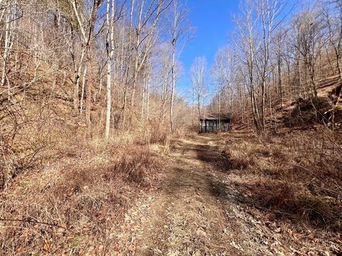
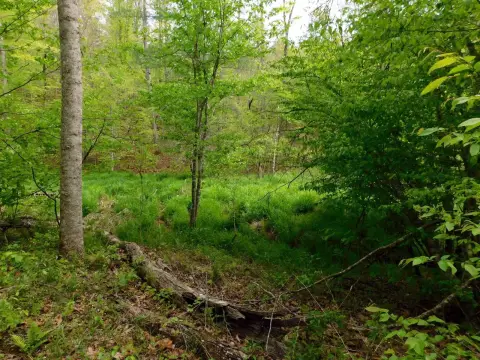
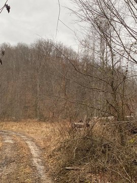
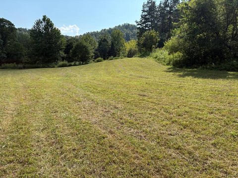
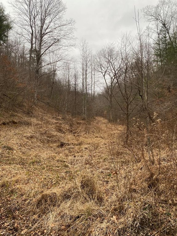
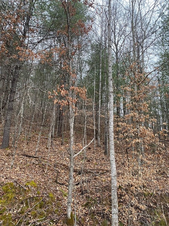
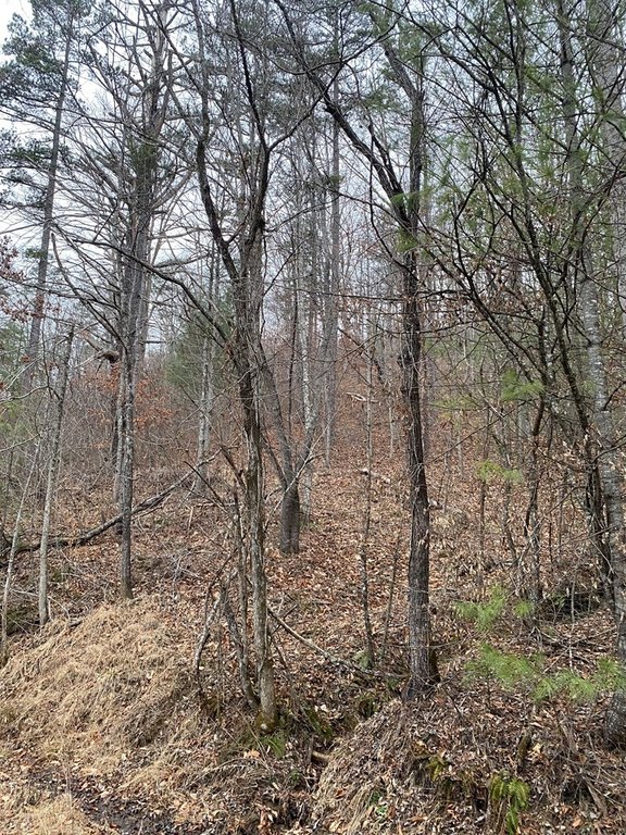
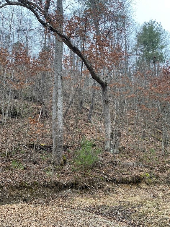
- Undeveloped acreage off Alsept Fork Road in Salyersville.
- Ideal for recreational uses including hunting, hiking, camping, and 4‑wheeling.
- No sewer on the property; sewer installation would be required to develop it.
- Electric and public water are not readily available.
- Seller conveys whatever mineral rights it owns; mineral rights are listed as unknown.
Overview
The acreage is located off Alsept Fork Road in Salyersville, Kentucky. The remarks note that sewer service is not on the property, and development would require sewer installation. Electric and public water are also described as not readily available.
For buyers seeking recreational ground, this parcel provides open acreage for personal or group outdoor use. For any development plans, the listing highlights the need to address utilities, including installing sewer and sourcing electric and water separately since they are not readily available. Mineral rights are noted as unknown, with the buyer receiving whatever mineral interest the seller owns.
Current Use by Public Records
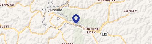
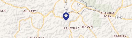
Map
- City
- Salyersville
- County
- Magoffin
- State
- Kentucky
- Longitude
- -83.19213084
- Latitude
- 37.70989391