Cow Creek Map 008-00-00-011, Salyersville, KY 41465
- Added:
- Feb 23, 2026
- Days on Market:
- 131
- Last Refresh:
- Jul 4 at 1:06 pm
Property Features for Cow Creek Map 008-00-00-011
General Information
- Property type
- Land
- Property subtype
- Other
- Standard status
- Active
- Lot size
- 38.40 Acres

Listing agent Doug Wireman (606) 205-6630
Listing office First Choice Realty & Assoc. KY (606) 788-9002
Listing date Feb 23, 2026
Copyright © 2026 Eastern Kentucky Association of Realtors. All rights reserved. All information provided by the listing agent/broker is deemed reliable but is not guaranteed and should be independently verified.
HighLights
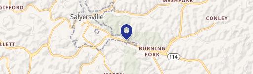
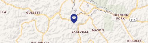
- Acreage on Alsept Fork Road in Salyersville (coordinates 37.70984, -83.20209).
- No sewer on the property.
- No water or electricity nearby—plan for solar panels or a generator and a drilled well for water.
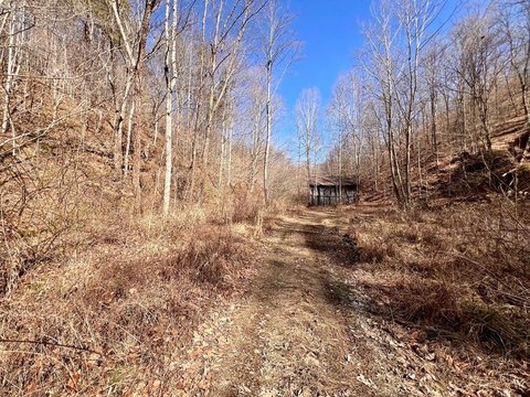
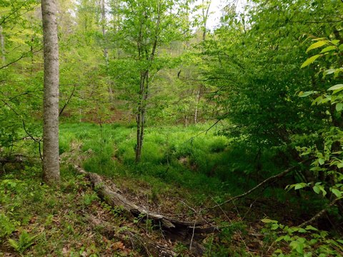
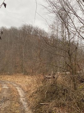
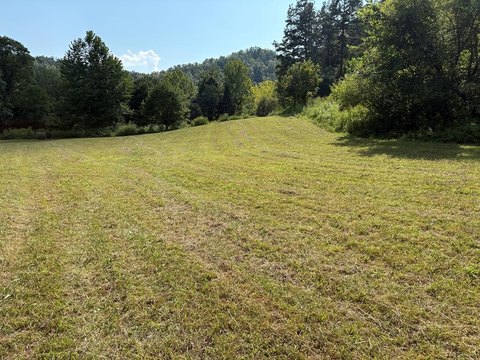
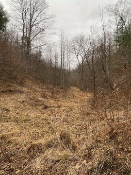
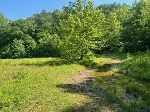
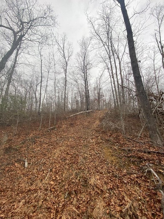
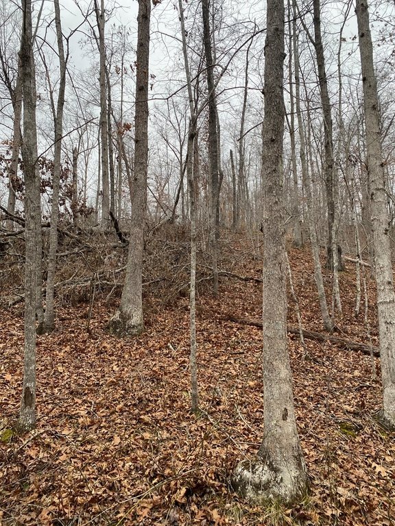
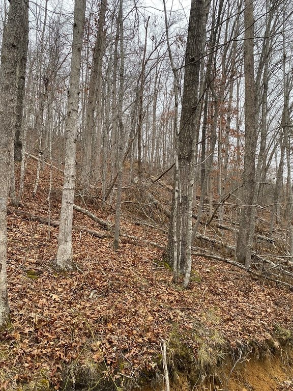
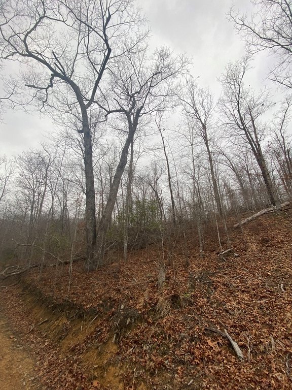
- Undeveloped tract suited for recreational uses such as hunting, hiking, camping, and 4‑wheeling.
- Mineral rights are unknown; you receive whatever mineral rights the seller owns.
Overview
The tract is located on Alsept Fork Road in Salyersville, Kentucky. The public remarks provide coordinates of 37.70984, -83.20209. Mineral rights are described as unknown, with the buyer to receive whatever mineral rights the seller owns.
Because there is no sewer and no water or electricity indicated nearby, prospective users should plan for off-grid solutions such as a drilled well for water and solar panels or a generator for electricity. The land’s natural, undeveloped condition makes it a practical fit for buyers seeking recreational property where they can set up their own water and power arrangements, subject to applicable permitting and feasibility.
Current Use by Public Records
Map
- City
- Salyersville
- County
- Magoffin
- State
- Kentucky
- Longitude
- -83.1699758
- Latitude
- 37.7570285