Mandy Lane lot Pt N1/2 Ne, Casa, AR 72025
- Added:
- Sep 10, 2025
- Days on Market:
- 279
- Last Refresh:
- Jun 15 at 2:06 am
Property Features for Mandy Lane lot Pt N1/2 Ne
General Information
- Property type
- Land
- Property subtype
- Other
- Standard status
- Active
- APN
- 001-09168-000
- Lot size
- 186.25 Acres
Taxes and HOA fees
- Tax Description
- N 1/2 NE ** LESS & EXCEPT** ***ALL THAT PART OF THE NW1/4 OF THE NE1/4 OF SECTION 19 AND THE SW1/4 OF THE SE1/4 OF SECTION 18 LYING NORTH AND WEST OF THE CENTERLINE OF THE PETIT JEAN RIVER, ALL IN T-5-N, R-19-W, IN YELL COUNTY, ARKANSAS AND BEING MOR
- Tax Annual Amount
- 108
Utilities
- Sewer type
- Septic Needed
- Water front
- 1

Listing agent David Hill License #SA00096860 (479) 879-1476
Listing office SAUNDERS REAL ESTATE, LLC 112 W Center St, Fayetteville, AR (479) 582-4113
Listing date Sep 10, 2025
Copyright © 2026 ArkansasONE MLS. All rights reserved. All information provided by the listing agent/broker is deemed reliable but is not guaranteed and should be independently verified.
HighLights
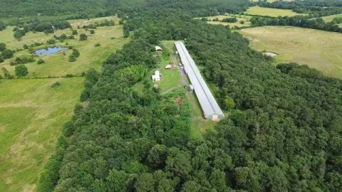
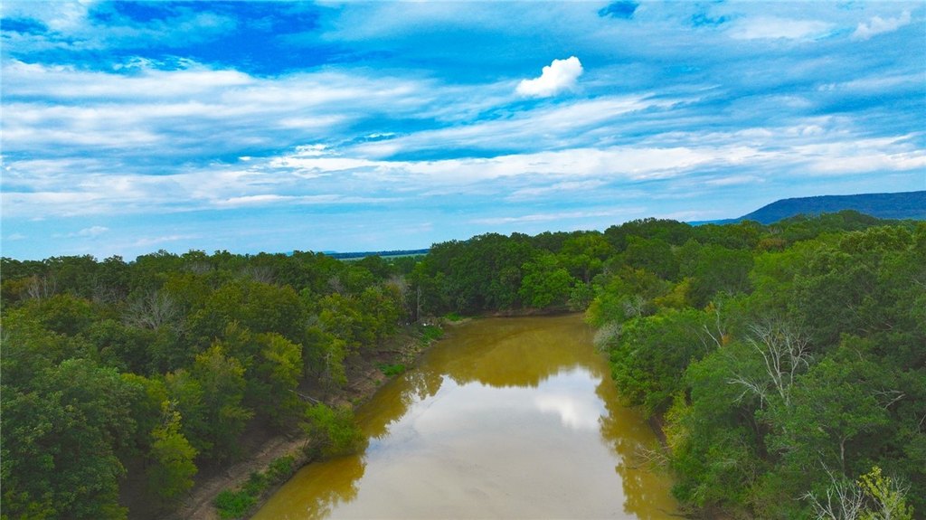
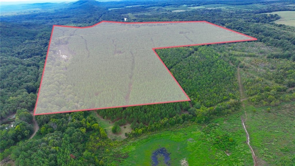
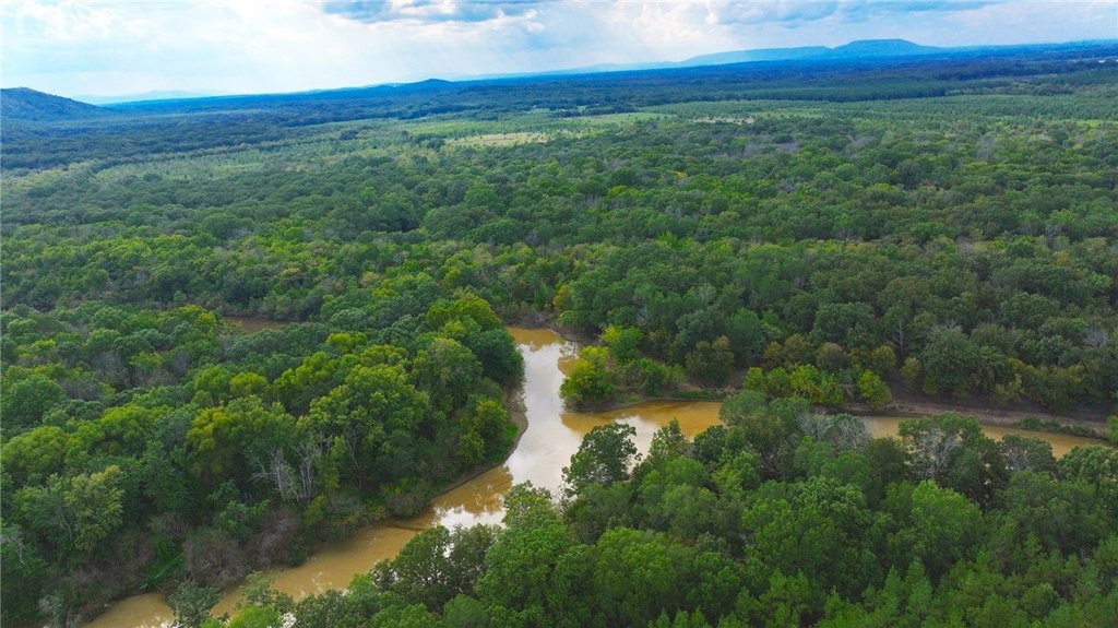
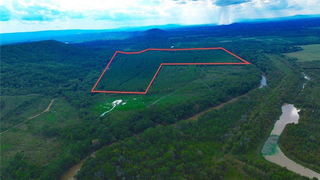
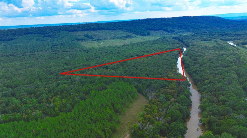
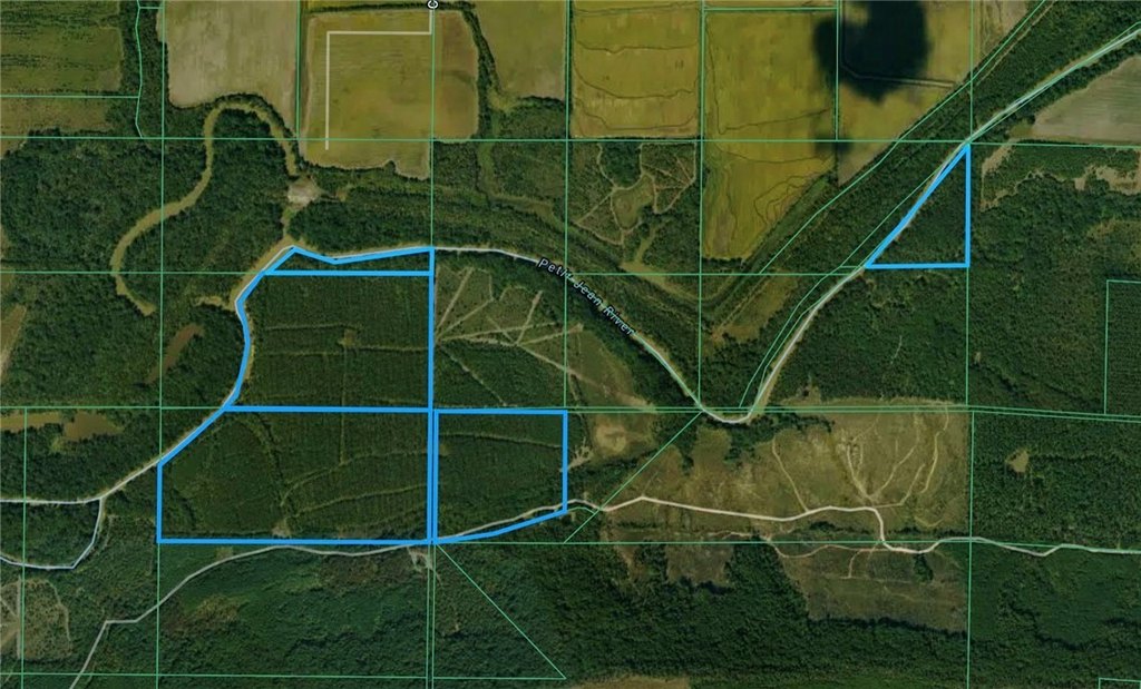
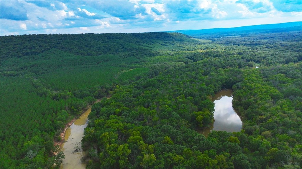
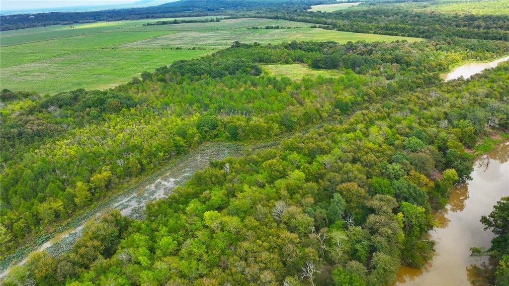
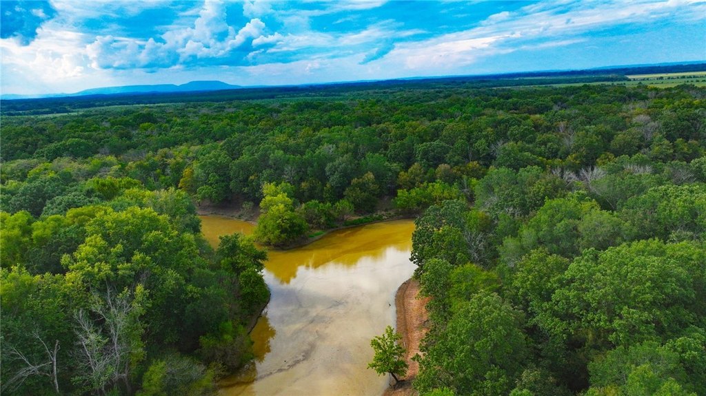
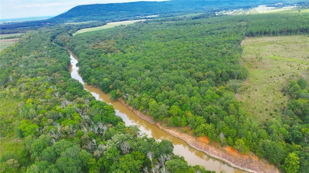
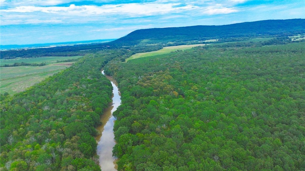
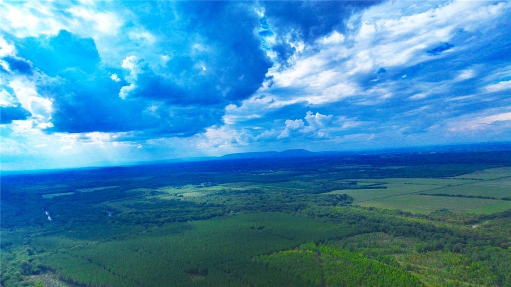
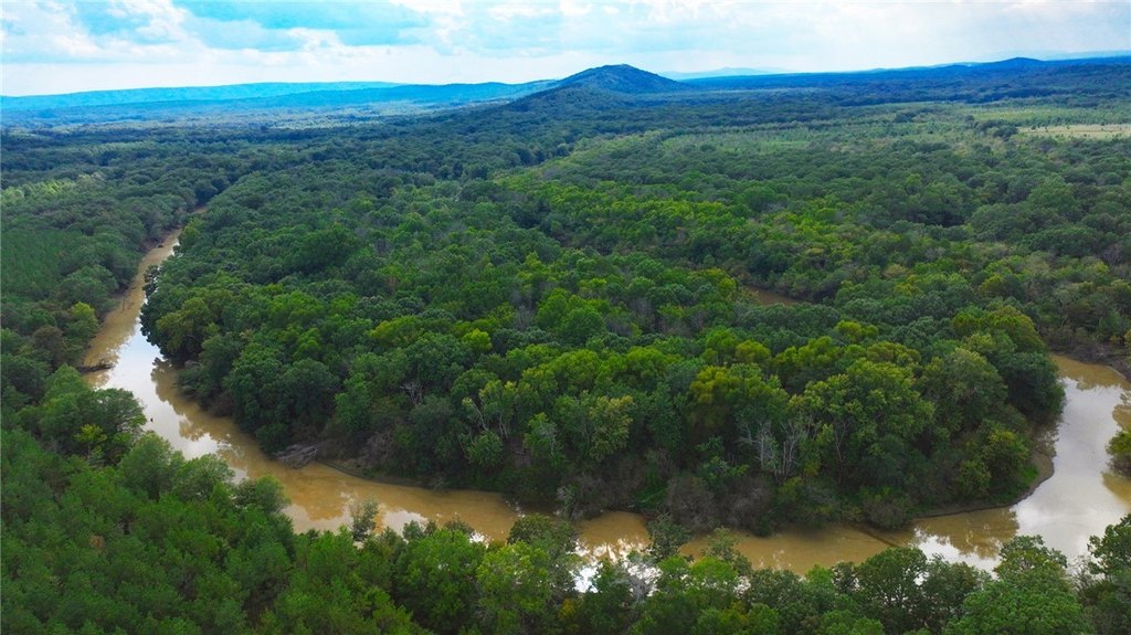
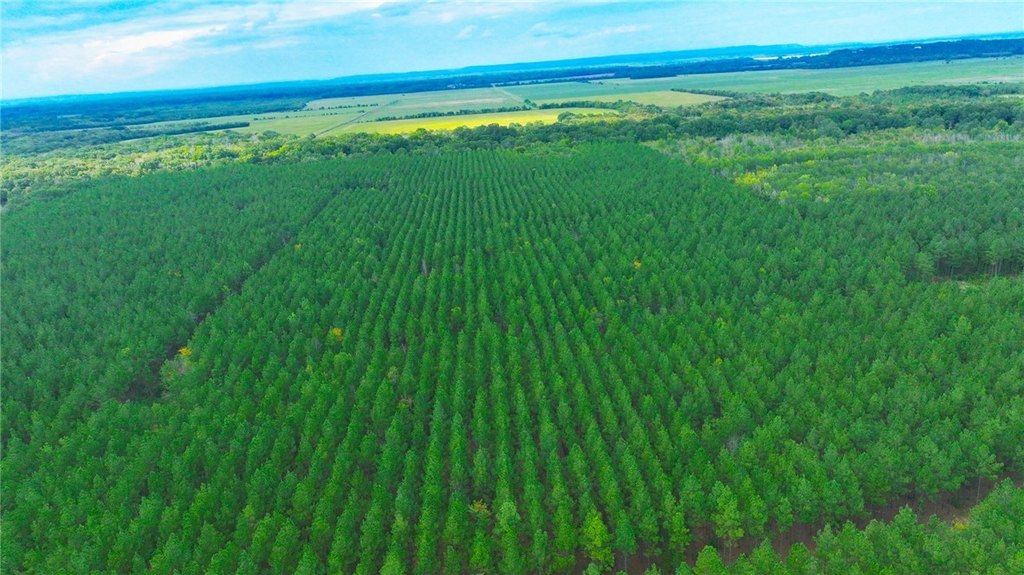
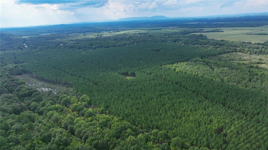
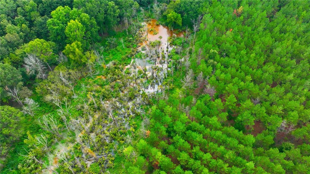
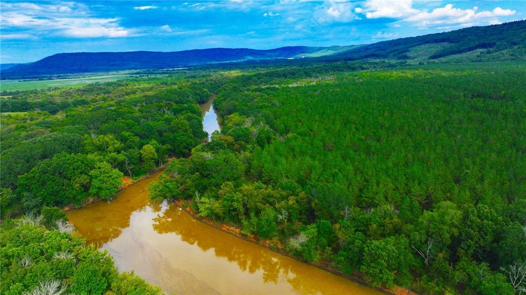
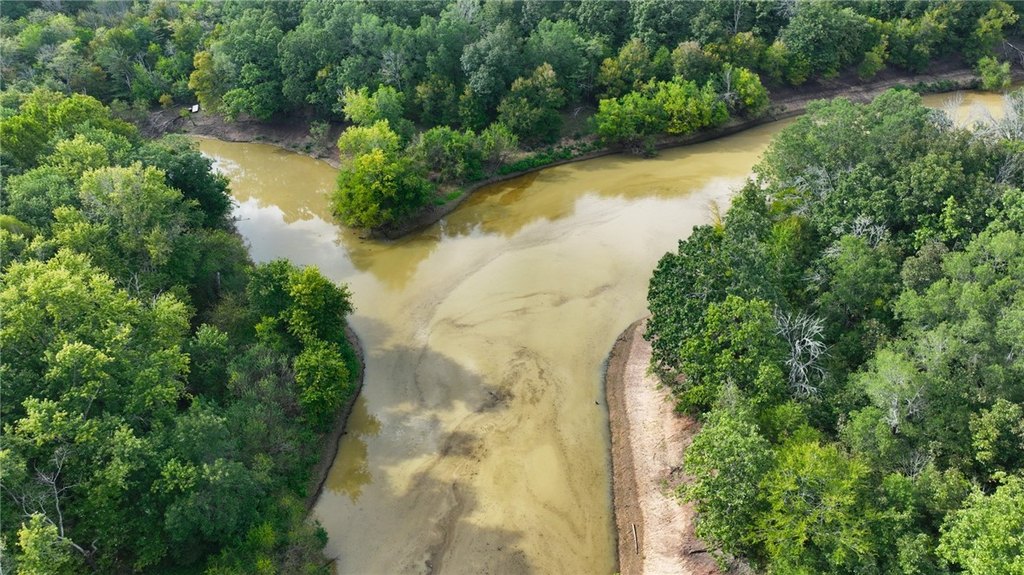
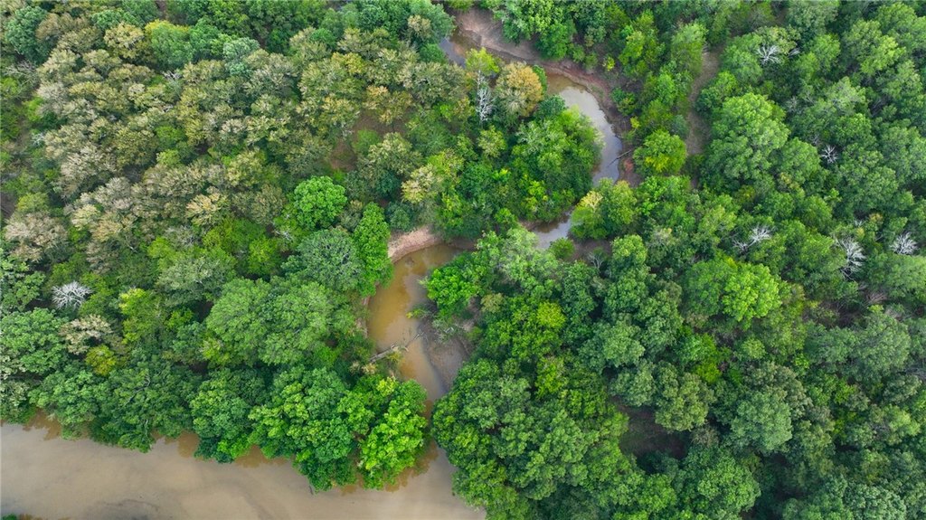
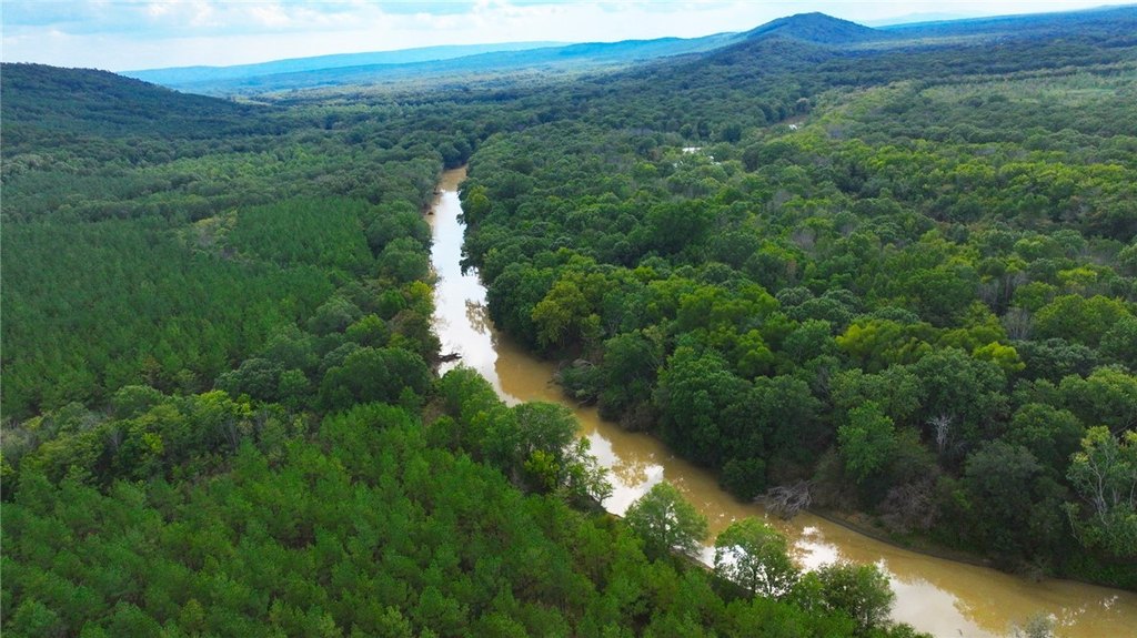
- 186+ acre tract with more than 0.75 mile of Petit Jean River frontage
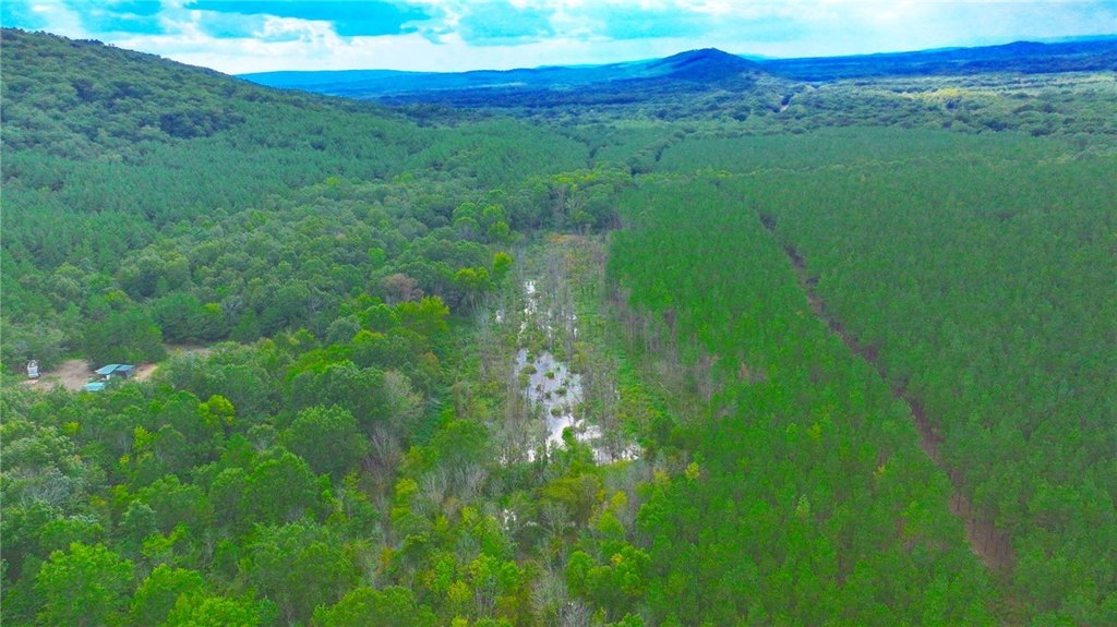
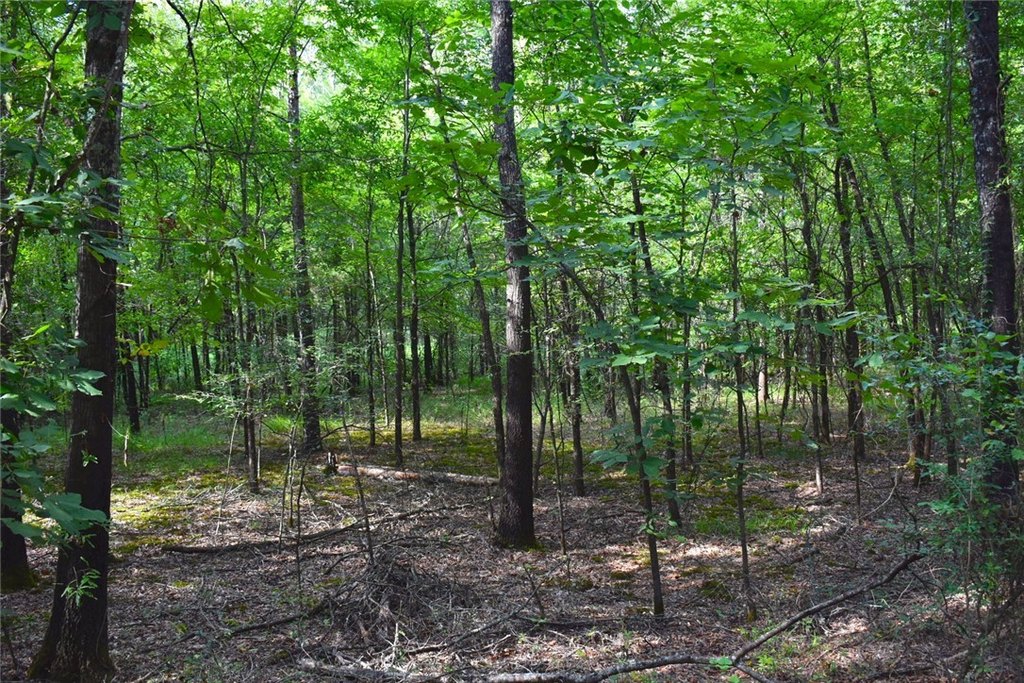
- Sold as two tracts: a 168‑acre main tract and an 18.75‑acre bottomland timber tract
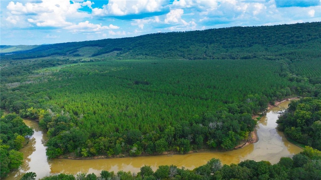
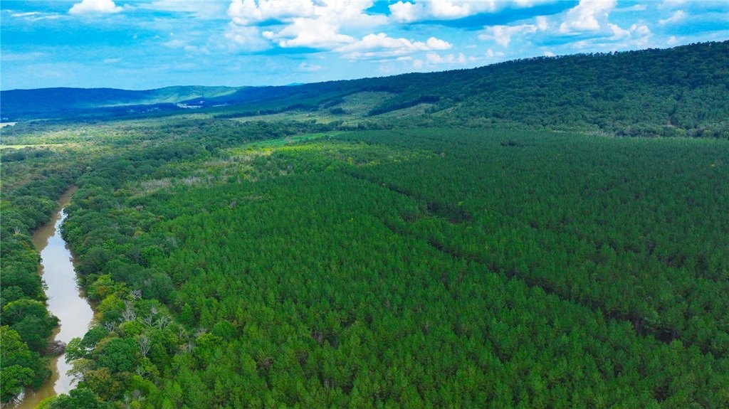
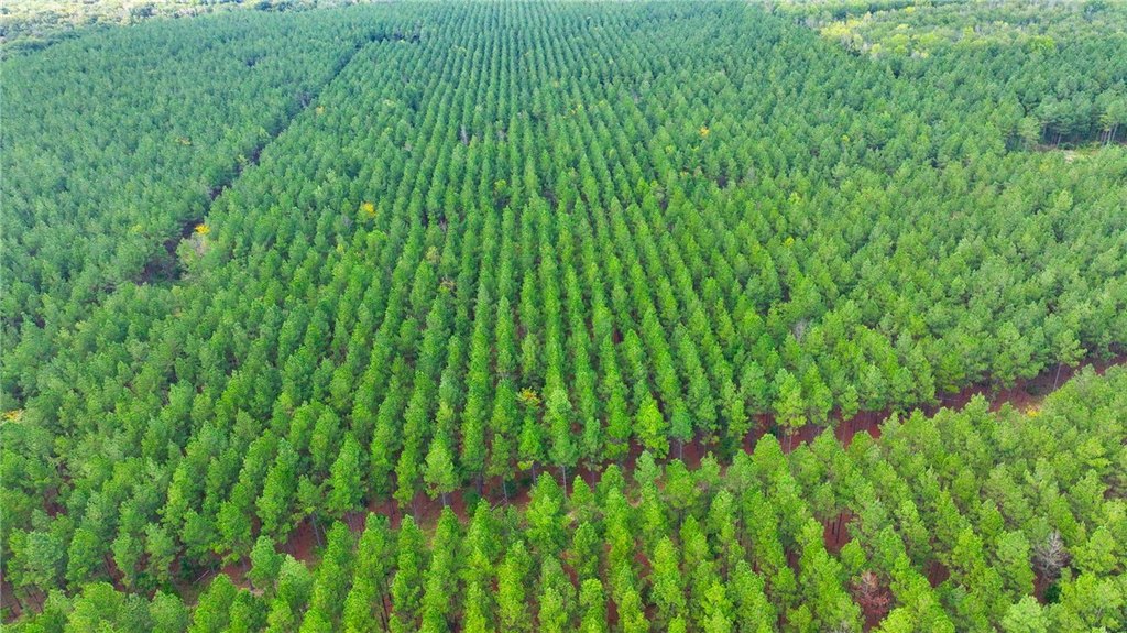
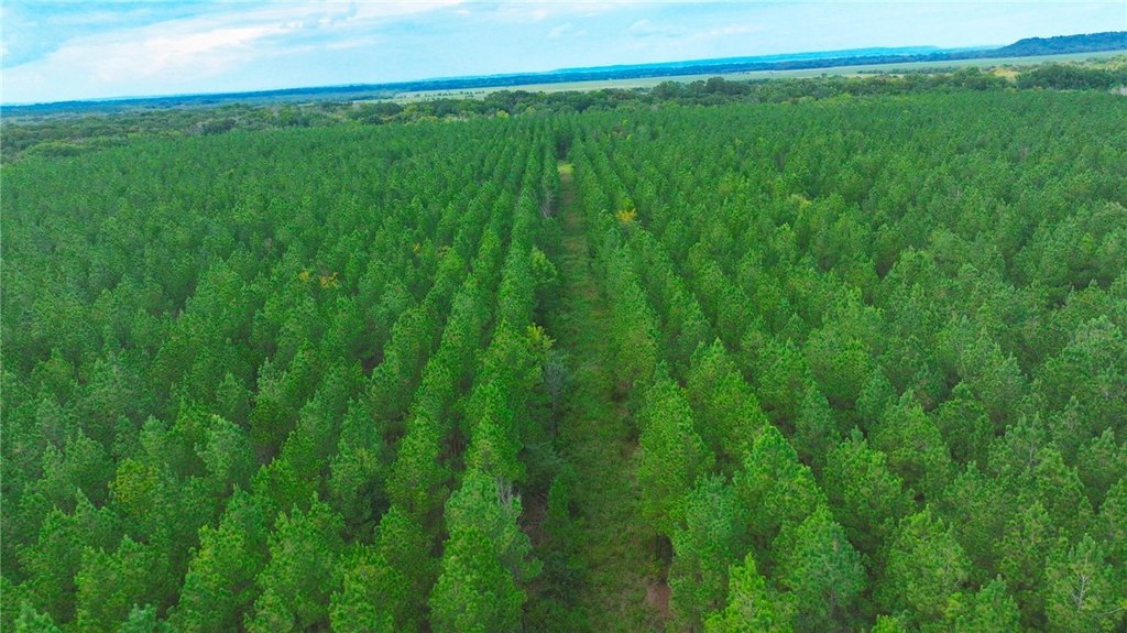
- 168‑acre main tract includes 150 acres of loblolly pine plantation planted in 2004
- 18.75‑acre tract is bottomland timber only and is accessible by boat
- Sewer: septic needed
Overview
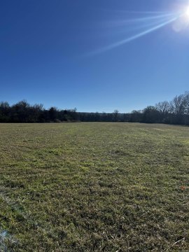
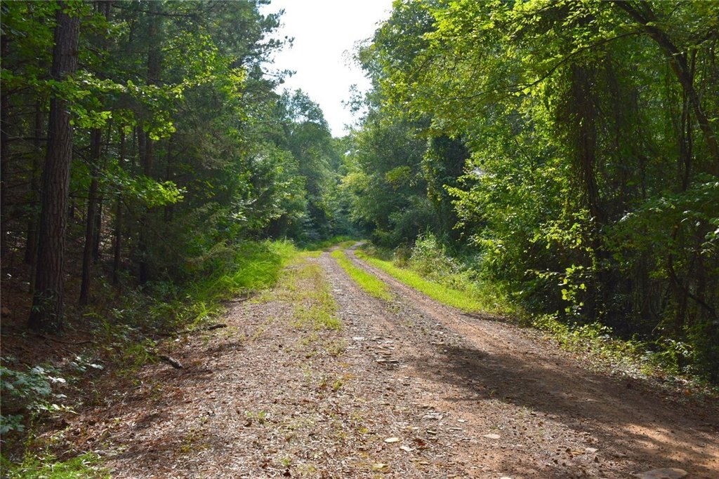
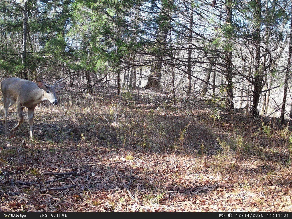
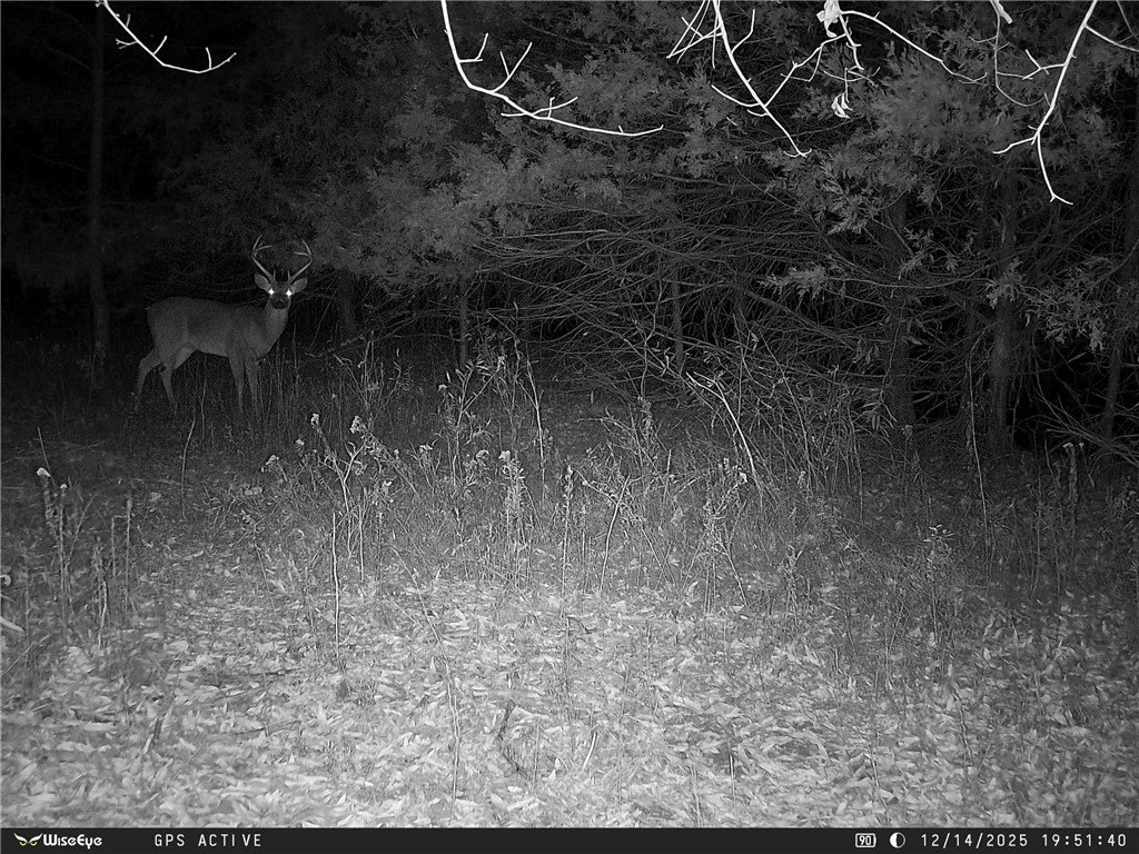
The tract features more than three quarters of a mile of Petit Jean River frontage. The property is located across the river from rice and soybean farms in the area, providing an agricultural backdrop to the river corridor.
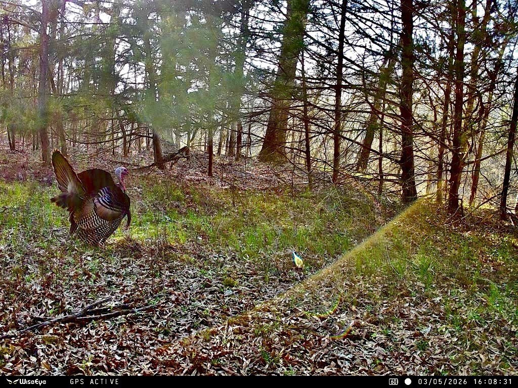
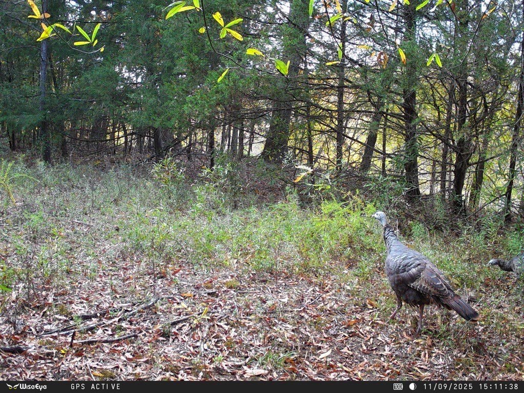
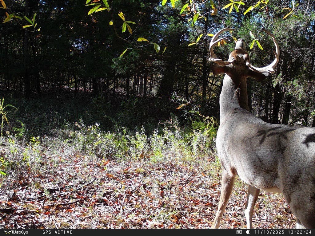
For buyers seeking recreational land with established timber acreage, this configuration offers both a planted pine component and a river-adjacent hunting landscape. The boat-accessible bottomland tract may appeal to users looking for a quieter, harder-to-access area within the overall acreage. As a single combined purchase, the two tracts can be managed together while still offering distinct experiences across the river frontage and timber stands.
Current Use by Public Records
Map
- City
- Casa
- County
- Perry
- State
- Arkansas
- Longitude
- -93.053611
- Latitude
- 35.074671