Hunting Land with River
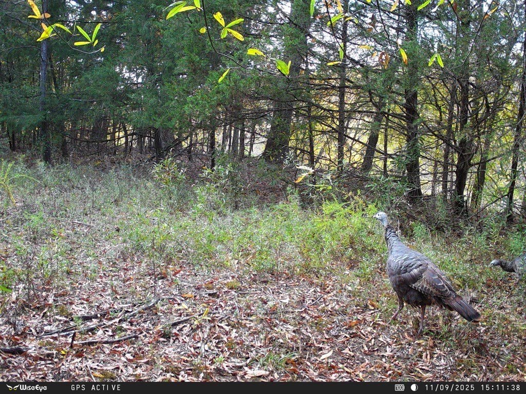
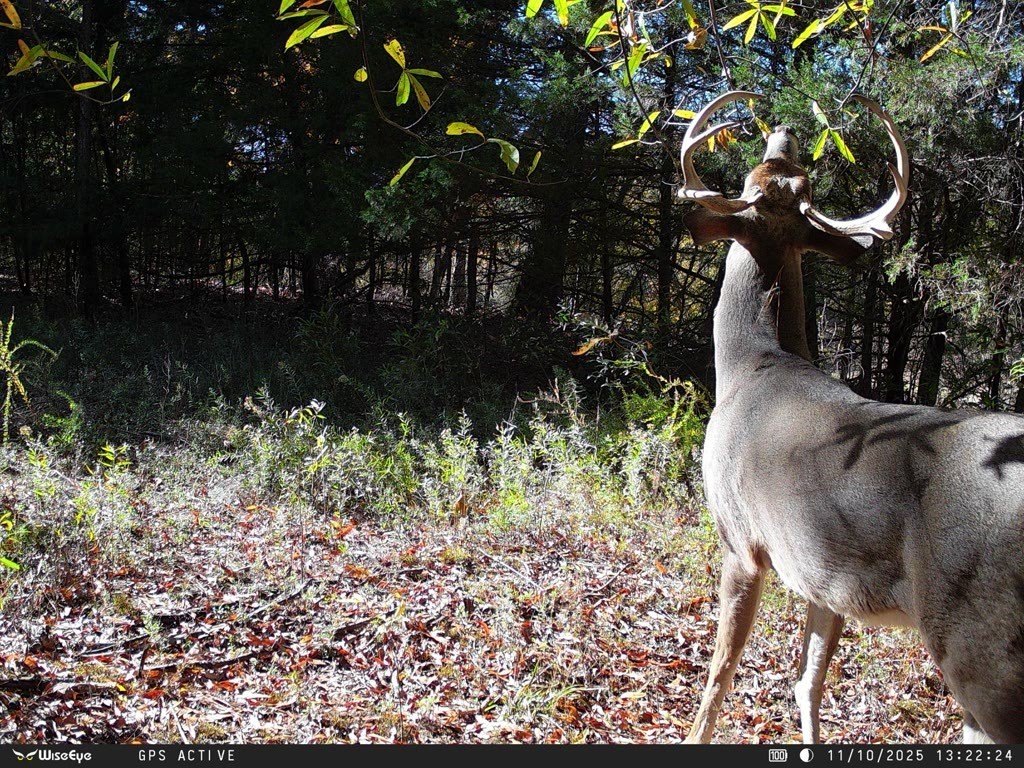
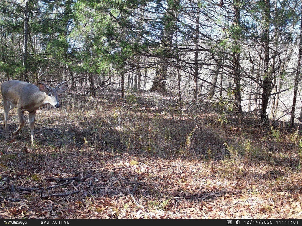

For Sale
$717,000
Mandy Lane lot Pt N1/2 Ne, Casa, AR 72025
LAND - Casa, AR
Property SizeContact for details
Lot Size186.25 Acres
Days on Market346
Property Features for Mandy Lane lot Pt N1/2 Ne
General Information
Property type
Land
Property subtype
Other
Lot features
Recreational, Rural Lot, Secluded, Wooded, Waterfront, Stream Creek
Elementary school district
Two Rivers
Middle school district
Two Rivers
High school district
Two Rivers
Directions
From Russellville: Head South on AR-27 S/AR 7 S/S Arkansas Ave until you get to the end of Dardanelle Turn Left on AR 7 S for ~1.5 miles Turn Left onto AR-155 until you reach AR-154 Take a Left onto AR-154 to Pontoon Park Veer Left on AR-247 Turn onto Mandy Road on your Right Gate to the property is on the left fork in the road
Standard status
Active
APN
001-09168-000
Lot size
186.25 Acres
Taxes and HOA fees
Tax Description
N 1/2 NE ** LESS & EXCEPT** ***ALL THAT PART OF THE NW1/4 OF THE NE1/4 OF SECTION 19 AND THE SW1/4 OF THE SE1/4 OF SECTION 18 LYING NORTH AND WEST OF THE CENTERLINE OF THE PETIT JEAN RIVER, ALL IN T-5-N, R-19-W, IN YELL COUNTY, ARKANSAS AND BEING MOR
Tax Annual Amount
108
Legal Description
N 1/2 NE ** LESS & EXCEPT** ***ALL THAT PART OF THE NW1/4 OF THE NE1/4 OF SECTION 19 AND THE SW1/4 OF THE SE1/4 OF SECTION 18 LYING NORTH AND WEST OF THE CENTERLINE OF THE PETIT JEAN RIVER, ALL IN T-5-N, R-19-W, IN YELL COUNTY, ARKANSAS AND BEING MOR
Utilities
Sewer type
Septic Needed
Water front
1
Listing Agency:
SAUNDERS REAL ESTATE, LLC
(479) 582-4113
Listed By:
David Hill · License #SA00096860
(479) 879-1476
Added: Sep 10, 2025
Changed: Jun 23
Last Checked: Aug 21 at 2:06AM
MLS# 1321935
Copyright © 2026 ArkansasONE MLS. All rights reserved. All information provided by the listing agent/broker is deemed reliable but is not guaranteed and should be independently verified.
Investment Insights
Based on property information with market context.
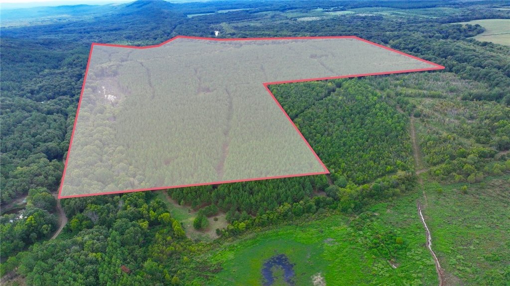
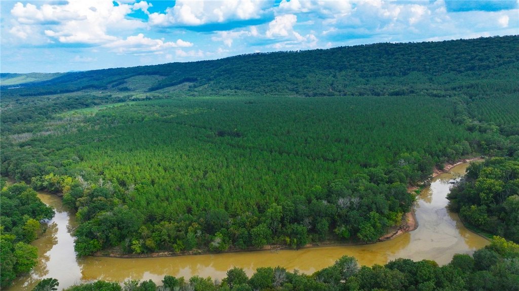
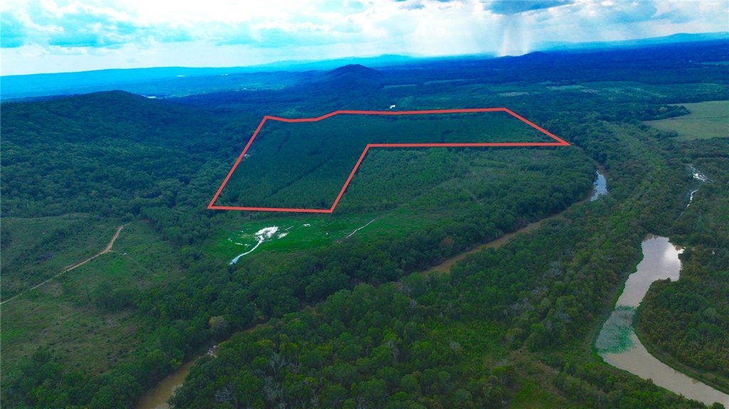
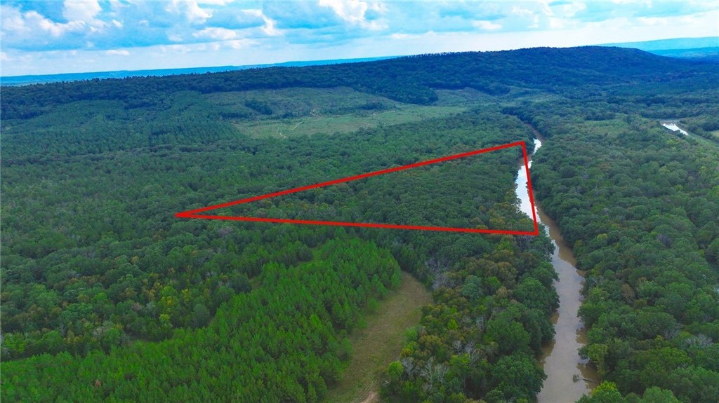
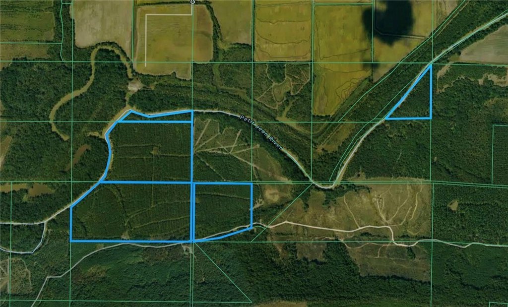
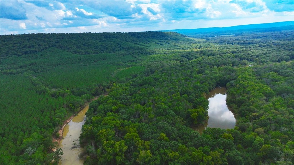
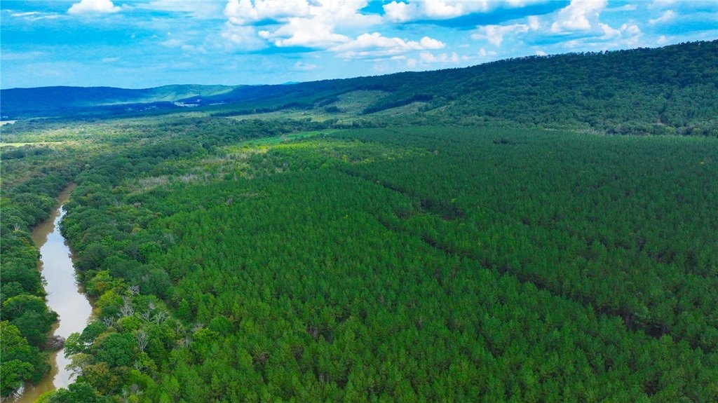
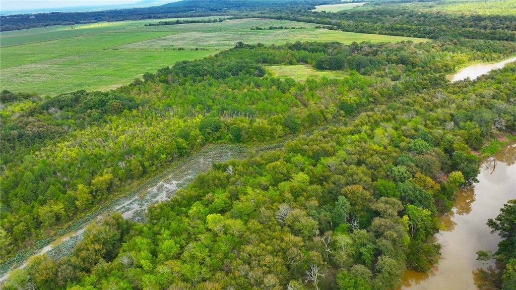
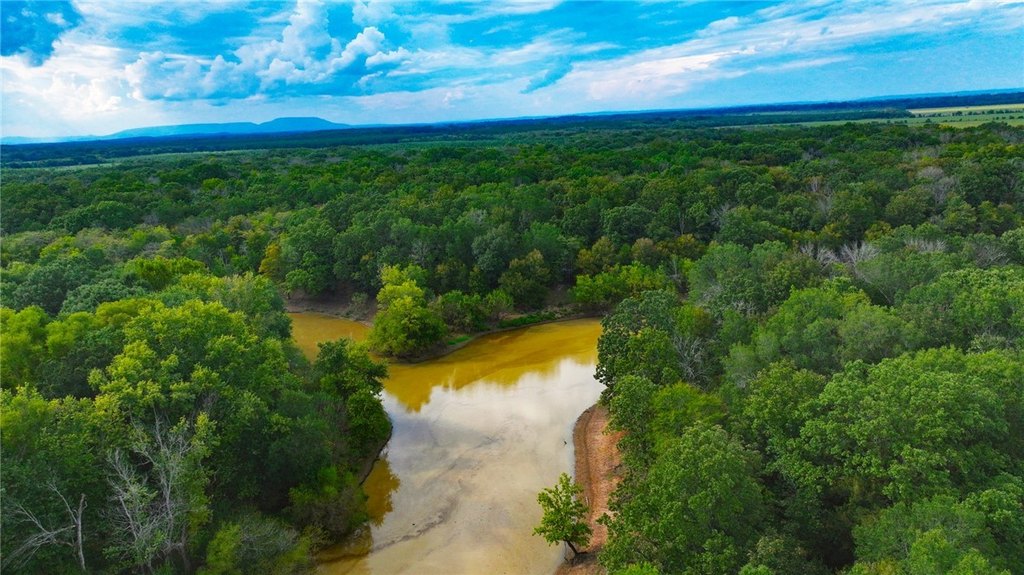
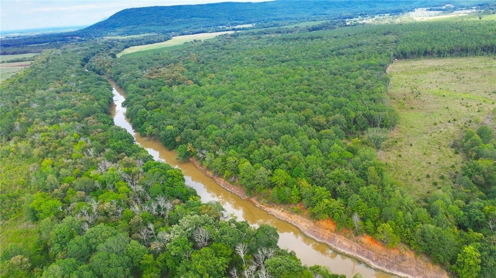
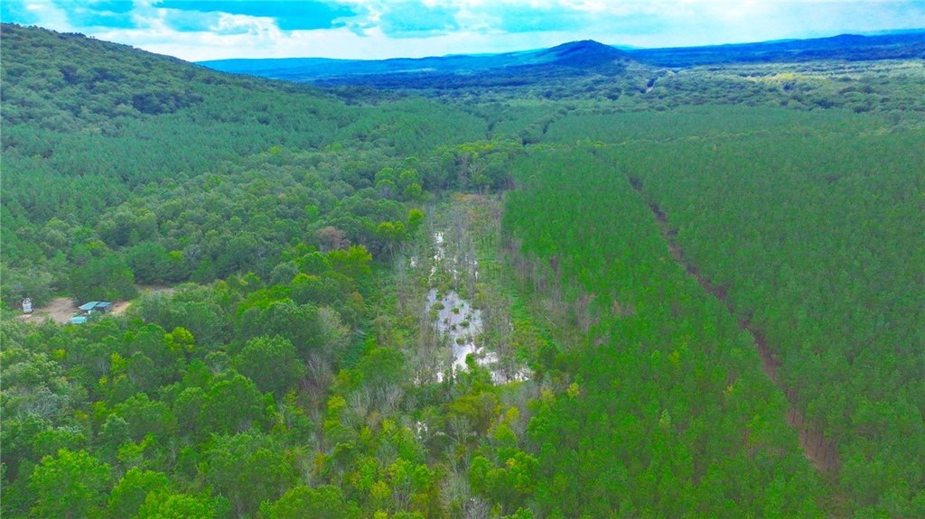
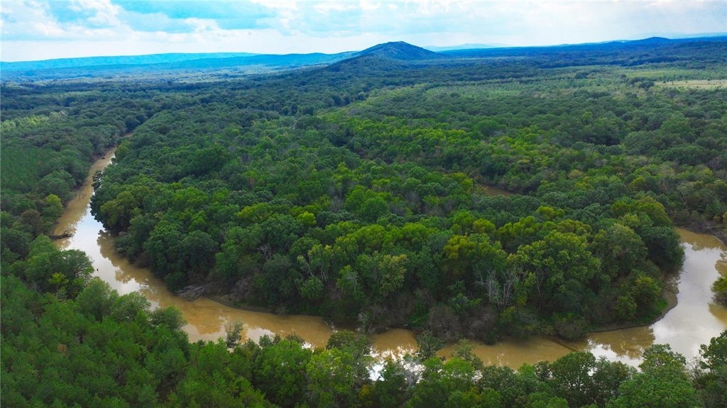
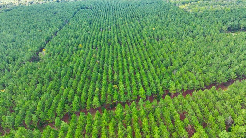
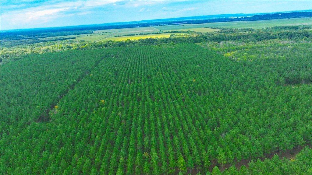
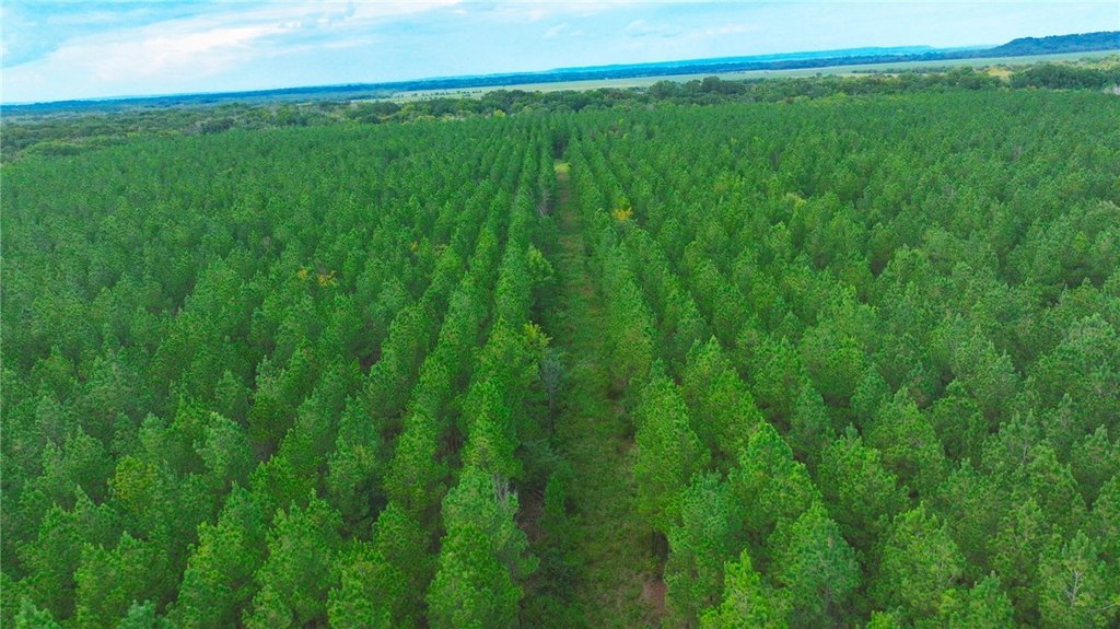
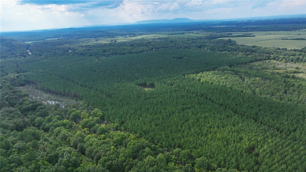
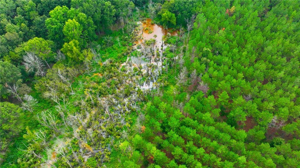
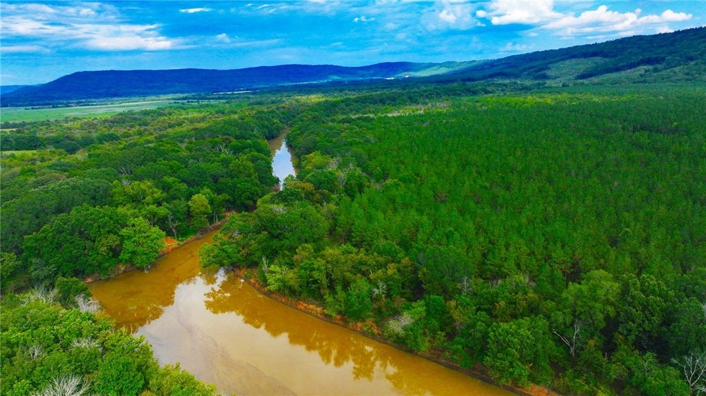
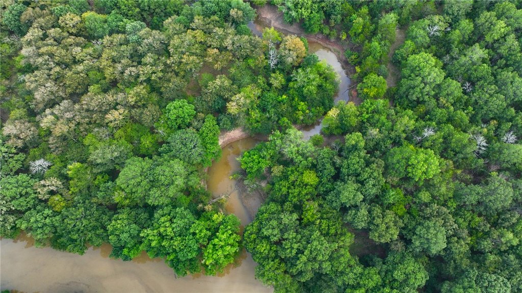
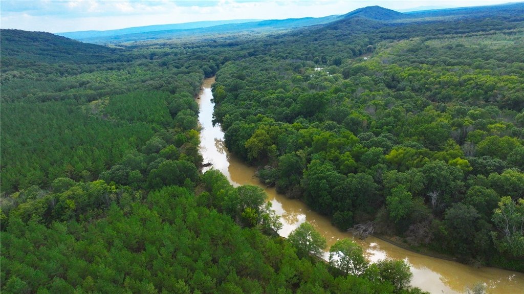
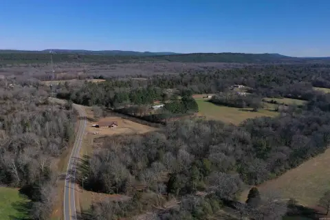
This property totals 186.25 acres split into two tracts sold together. The 168-acre main tract includes a loblolly pine plantation of 150 acres, planted in 2004, along with additional ground cover from the mixed timber and river-influenced soils. The 18.75-acre tract is a bottomland timber area that is described as accessible only by boat, positioned as a secluded satellite hunting tract.
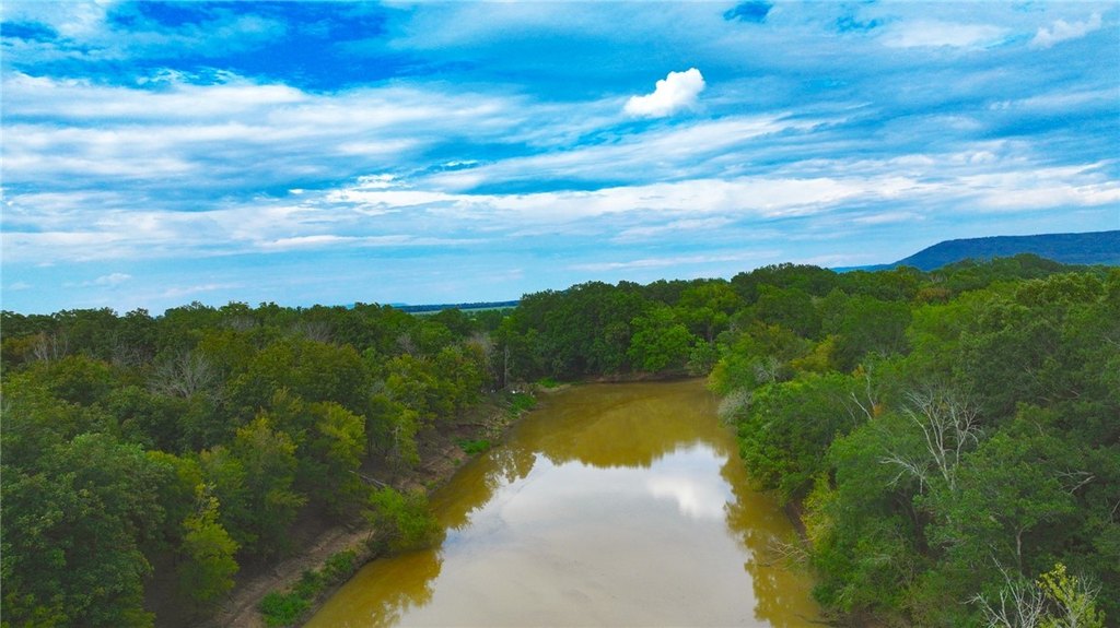
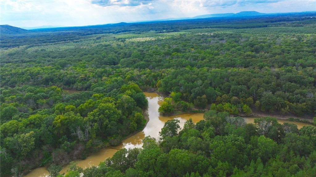
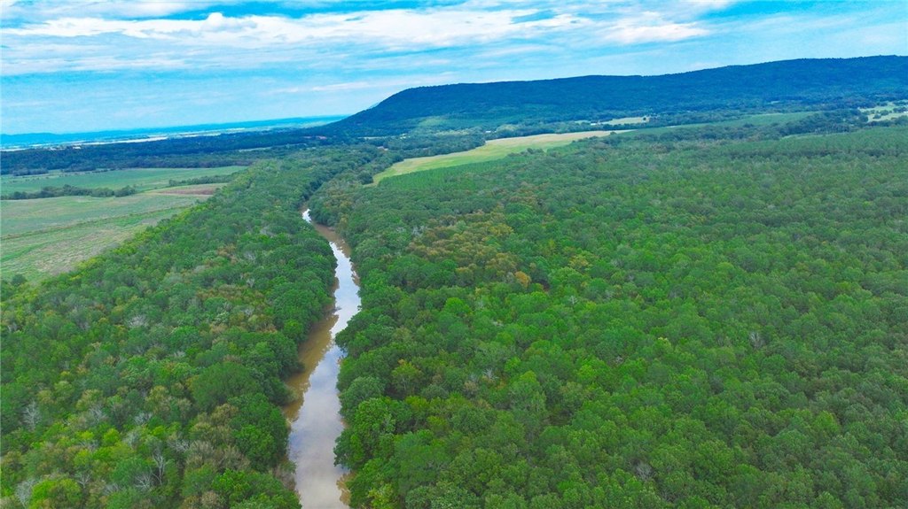
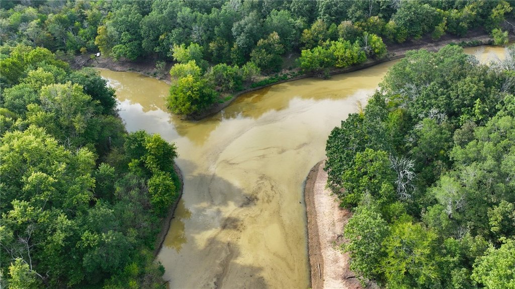
More than three quarters of a mile of Petit Jean River frontage runs through the land, creating direct river access on the main holding. The property is located across the river from rice and soybean farms, placing the acreage within a broader agricultural setting.
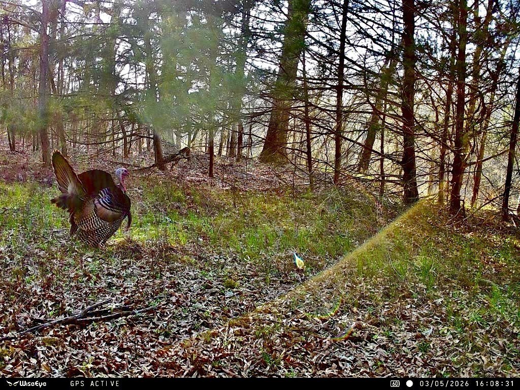
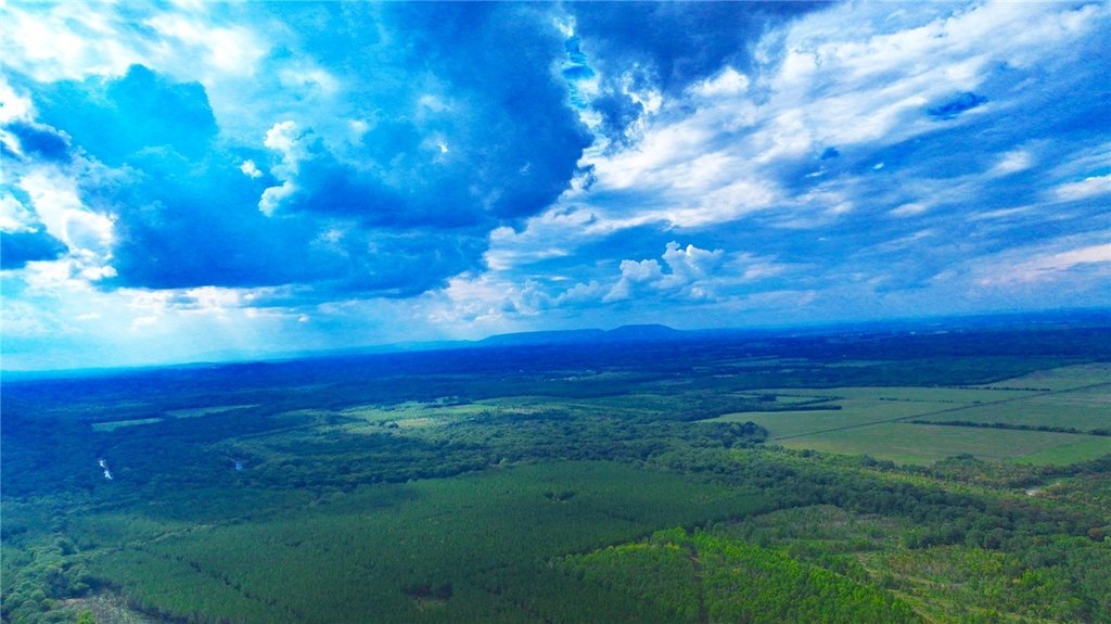
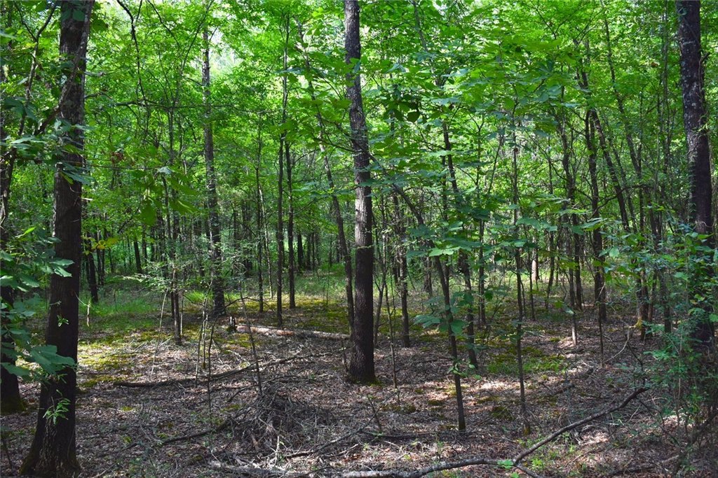
For buyers seeking a large, contiguous hunting and timber land package, the combination of planted pine acreage and river frontage can support a land-use plan that balances timber management with wildlife habitat. The boat-only bottomland tract provides additional separation within the overall property, while the broader mix of hardwoods, pine stands, and river soils supports land uses centered on whitetail hunting and waterfowl-style access.
More than three quarters of a mile of Petit Jean River frontage runs through the land, creating direct river access on the main holding. The property is located across the river from rice and soybean farms, placing the acreage within a broader agricultural setting.
For buyers seeking a large, contiguous hunting and timber land package, the combination of planted pine acreage and river frontage can support a land-use plan that balances timber management with wildlife habitat. The boat-only bottomland tract provides additional separation within the overall property, while the broader mix of hardwoods, pine stands, and river soils supports land uses centered on whitetail hunting and waterfowl-style access.
Key Highlights
- 186+ acre tract with more than 0.75 mile of Petit Jean River frontage
- Sold as two tracts: a 168‑acre main tract and an 18.75‑acre bottomland timber tract
- 168‑acre main tract includes 150 acres of loblolly pine plantation planted in 2004
Property Analytics
Current Use
Location Intelligence
Trade Area within ½ mile
1
Businesses Nearby
Explore this area
Business Placement
Demographics for 72025, AR
816
Population
365
Households
2.2
Avg Household Size
41
Median Age
14%
College-Educated
93%
High-School Grad
60.5 sq mi
ZIP Area
13
Density / Sq Mi
$53,264
Median Household Income
$41,250
Median Earnings
$622
Median Rent
$105,400
Median Home Value

Questions? Ask Rey
Realmo’s AI knows this listing — price, zoning, demand, history. Ask anything.
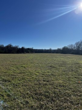


Frequently Asked Questions
What type of property is this?
Hunting land - Large timber and wildlife property with more than three quarters of a mile of Petit Jean River frontage.
Where is this hunting land located?
The property is located at Mandy Lane lot Pt N1/2 Ne Casa, AR.
What is the asking price?
The asking price for this property is $717,000.
What are key features of this property?
This property features: 186+ acre tract with more than 0.75 mile of Petit Jean River frontage; Sold as two tracts: a 168‑acre main tract and an 18.75‑acre bottomland timber tract; 168‑acre main tract includes 150 acres of loblolly pine plantation planted in 2004



