Waterfront Land
For Sale
$149,000
M3L11 Route 212, Merrill, ME 04780
Land, Merrill, ME
Property SizeContact for details
Lot Size109.54 Acres
Days on Market82
Property Features for M3L11 Route 212
General Information
Property type
Land
Property subtype
Other
Zoning
Shoreland
Lot features
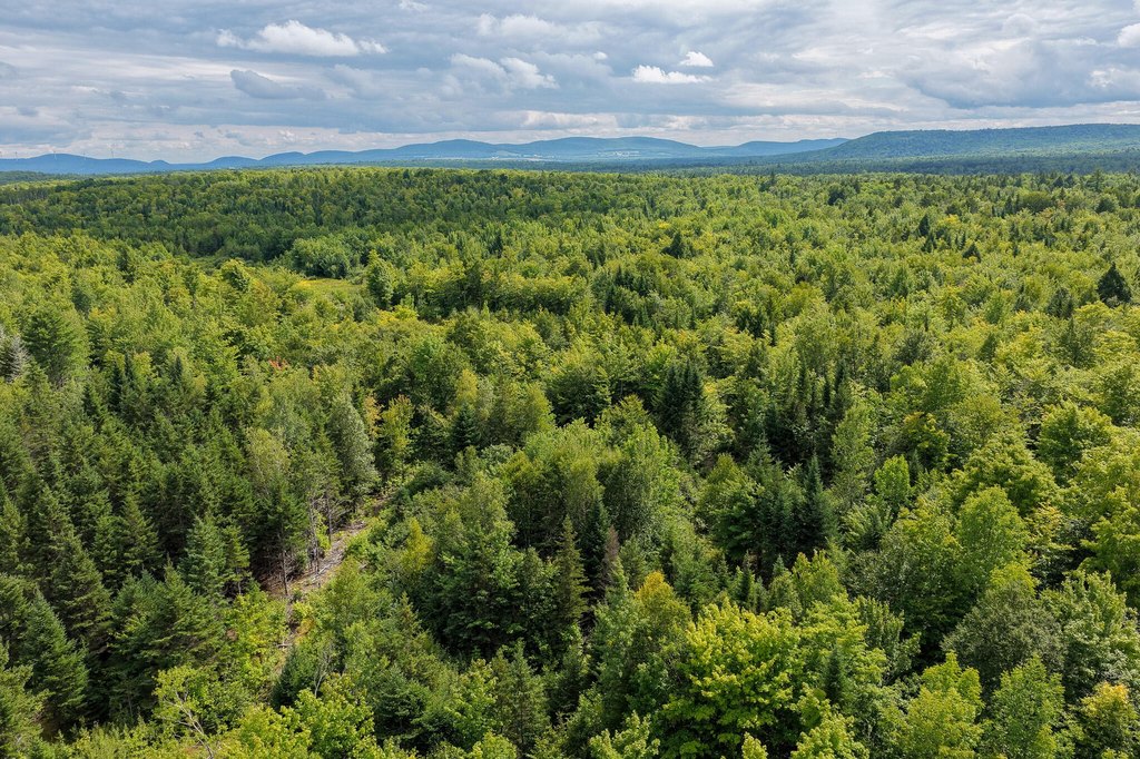
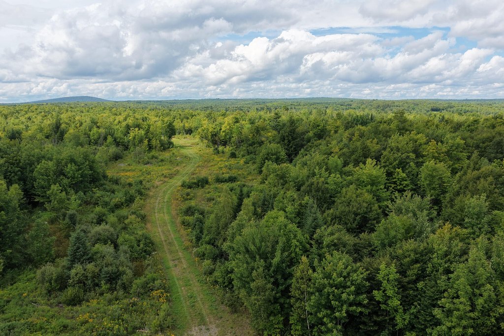
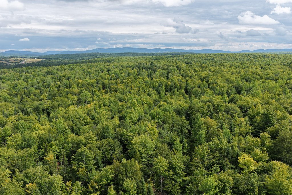
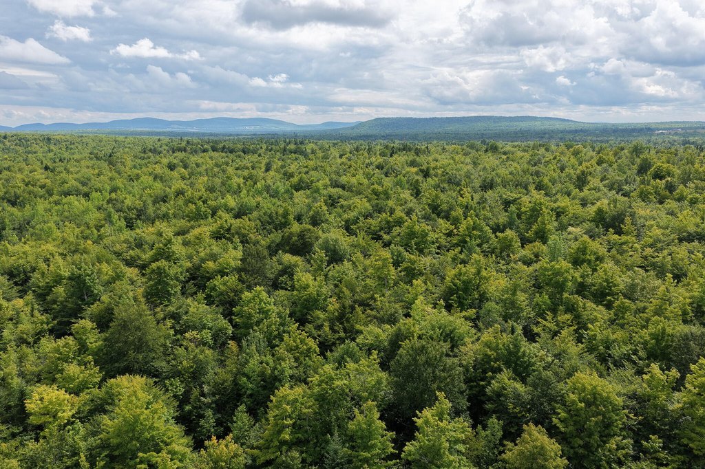
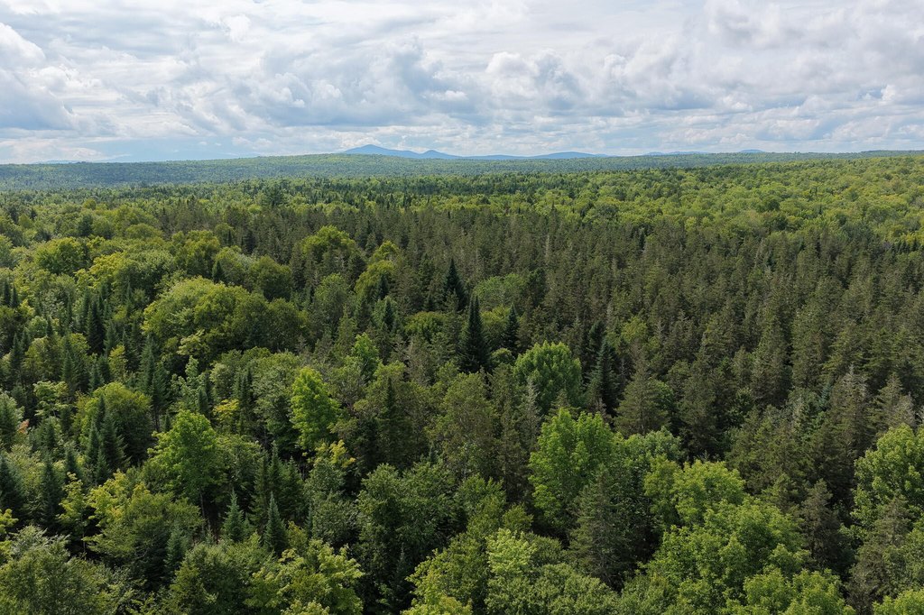
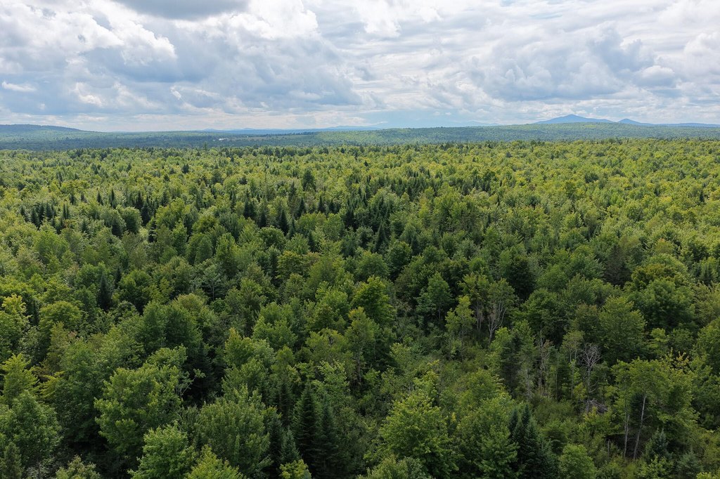
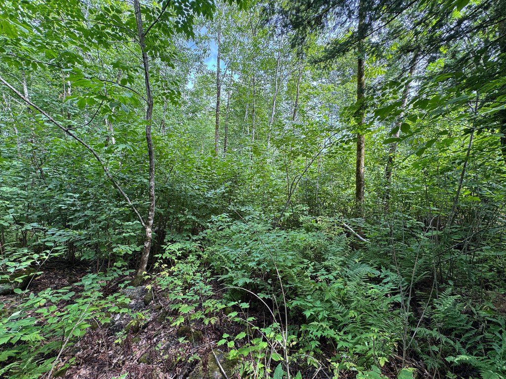
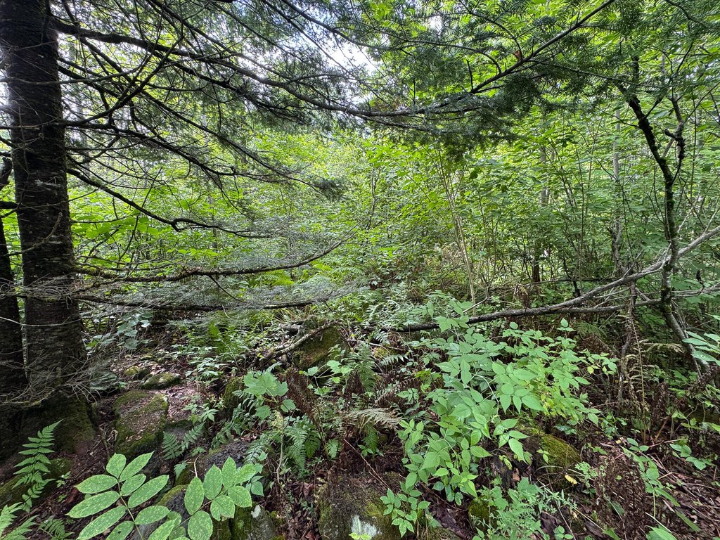
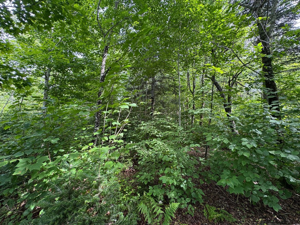
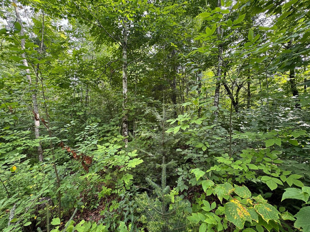
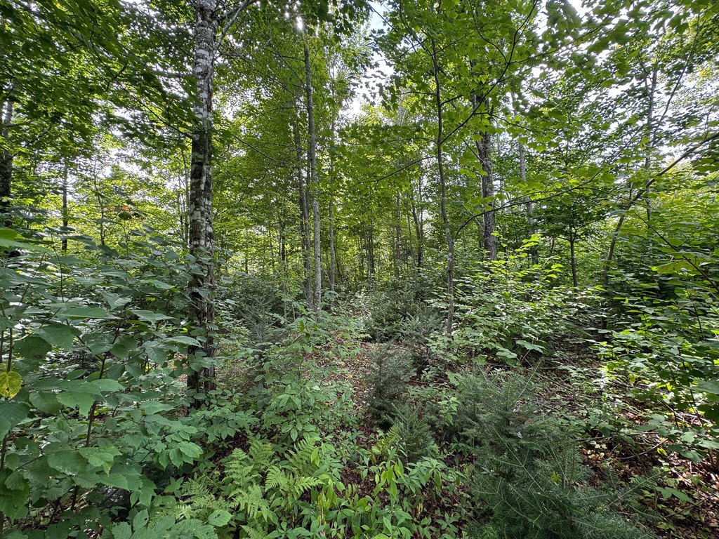
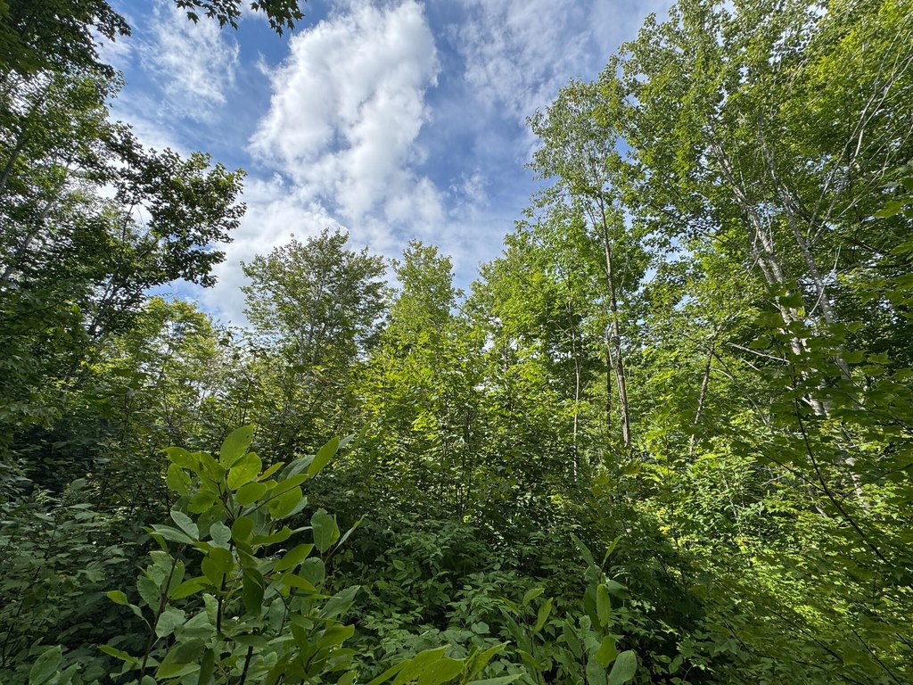
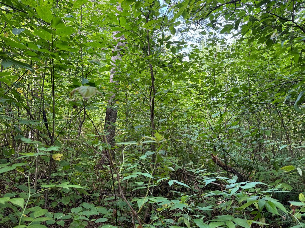
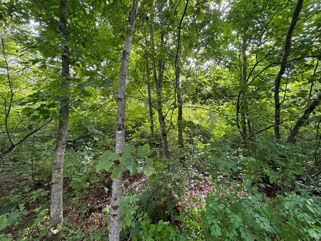
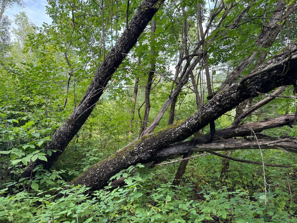
Rolling/ Sloping, Wooded, Rural
Standard status
Active
Lot size
109.54 Acres
Taxes and HOA fees
Tax Year
2026
Tax Annual Amount
314
Utilities
Sewer type
Septic Needed
Water source
Well Needed
Water front
1
Listing Agency:
United Country Lifestyle Properties of Maine
Listed By:
Philip McPhail II
(207) 794-6164
Added: Jul 31
Changed: Aug 20
Last Checked: Oct 20 at 1:06PM
MLS# 1674306
Copyright © 2026 Maine Listings. All rights reserved. All information provided by the listing agent/broker is deemed reliable but is not guaranteed and should be independently verified.

Ask AI about this property
Review the available facts, identify missing information and prepare questions for the agent.
Investment Insights
Based on property information with market context.
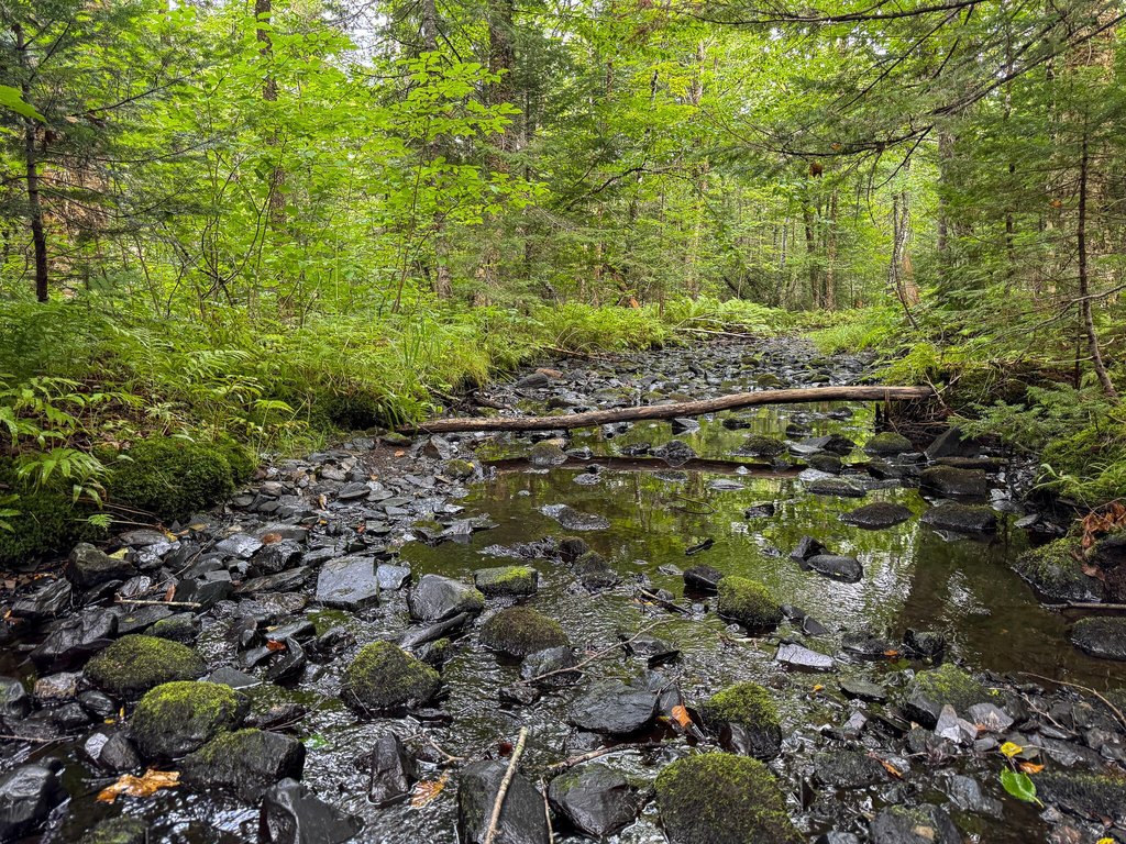
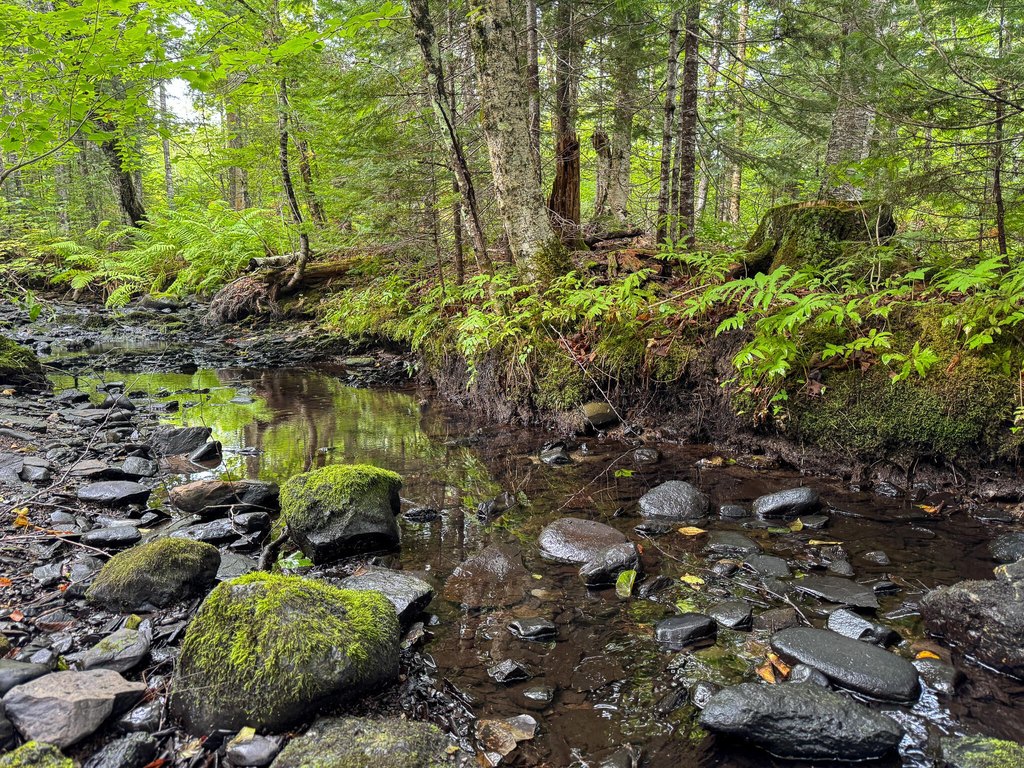
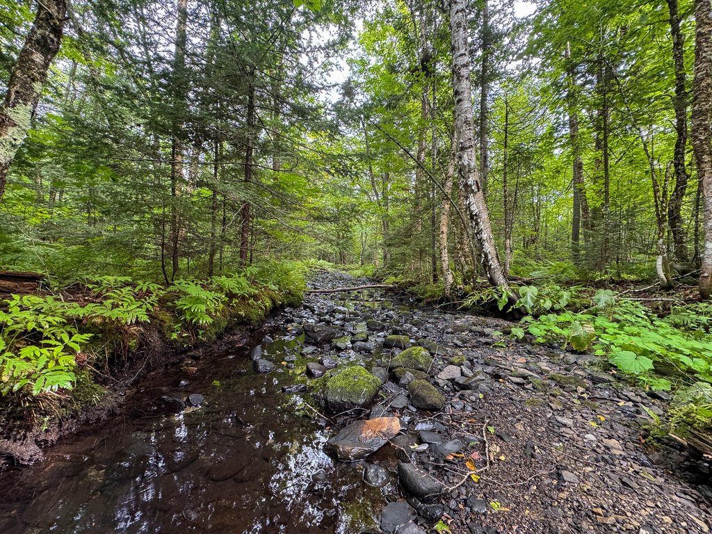
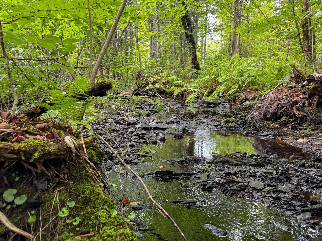
This surveyed 109.54-acre land parcel includes more than 2,000 feet along Huntley Brook, with elevations spanning approximately 740 to 840 feet. The terrain is primarily composed of Plaisted, Howland, and Thorndike loams. A fully described private right of way provides access to the property, which is located in a rural setting near Merrill. Well and septic systems are needed.
Outdoor context includes the East Branch of the Mattawamkeag River northeast of the parcel, with boat launches for Mattawamkeag Lake and Pleasant Lake approximately 10 miles away. The Oxbow Gate to the North Maine Woods is less than 45 minutes away. The property is about 3.5 miles from Oakfield, 18 miles from Houlton, 59 miles from Presque Isle, and 106 miles from Bangor.
Shoreland zoning applies to the parcel. The source information identifies possible recreational, agricultural, cabin, grazing, and timber-related uses without specifying approvals or permitted-use conditions.
Outdoor context includes the East Branch of the Mattawamkeag River northeast of the parcel, with boat launches for Mattawamkeag Lake and Pleasant Lake approximately 10 miles away. The Oxbow Gate to the North Maine Woods is less than 45 minutes away. The property is about 3.5 miles from Oakfield, 18 miles from Houlton, 59 miles from Presque Isle, and 106 miles from Bangor.
Shoreland zoning applies to the parcel. The source information identifies possible recreational, agricultural, cabin, grazing, and timber-related uses without specifying approvals or permitted-use conditions.
Key Highlights
- 109.54‑acre surveyed parcel in Merrill, ME
- More than 2,000 feet of frontage on Huntley Brook
- Elevation range of approximately 740 to 840 feet
Location Intelligence
Demographics for 04780, ME
733
Population
463
Households
1.6
Avg Household Size
44
Median Age
19%
College-Educated
86%
High-School Grad
172.1 sq mi
ZIP Area
4
Density / Sq Mi
$53,750
Median Household Income
$37,163
Median Earnings
$675
Median Rent
$109,400
Median Home Value
Frequently Asked Questions
What type of property is this?
Land - Shoreland-zoned acreage with brook frontage, private right-of-way access, and a secluded rural setting.
Where is this land located?
The property is located at M3L11 Route 212 Merrill, ME.
What is the asking price?
The asking price for this property is $149,000.
What are key features of this property?
This property features: 109.54‑acre surveyed parcel in Merrill, ME; More than 2,000 feet of frontage on Huntley Brook; Elevation range of approximately 740 to 840 feet


