Wooded Recreational Hunting
M1 L2 Bunker Hill Road Maxfield, ME 04448

For Sale
$136,000
LAND - Maxfield, ME
Lot Size100.00 Acres
Days on Market48
Property Features for M1 L2 Bunker Hill Road
General Information
- Property type
- Land
- Property subtype
- Other
- Zoning
- Rural
- Standard status
- Active
- Lot size
- 100.00 Acres
Taxes and HOA fees
- Tax Year
- 2026
- Tax Annual Amount
- 655
Listing Agency:
United Country Lifestyle Properties of Maine
(207) 794-6164
Listed By:
Morgan Espling
(207) 794-6164
Added: Jun 8
Last Checked: Jul 25 at 2:06AM
MLS# 1666081
Copyright © 2026 Maine Listings. All rights reserved. All information provided by the listing agent/broker is deemed reliable but is not guaranteed and should be independently verified.
Investment Insights
Based on property information with market context.
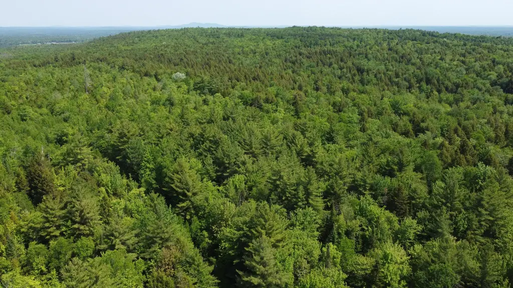
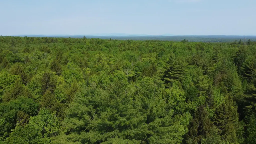
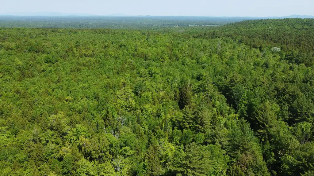
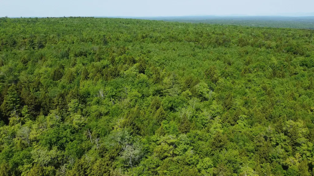
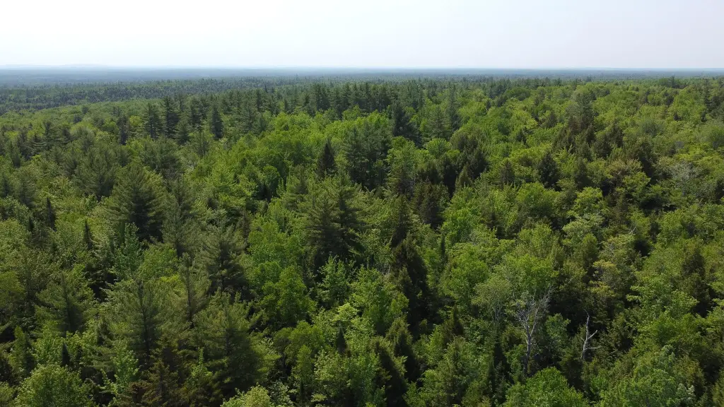
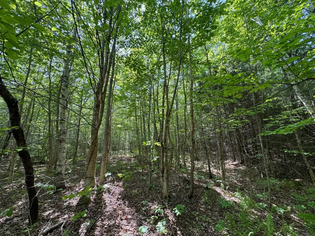
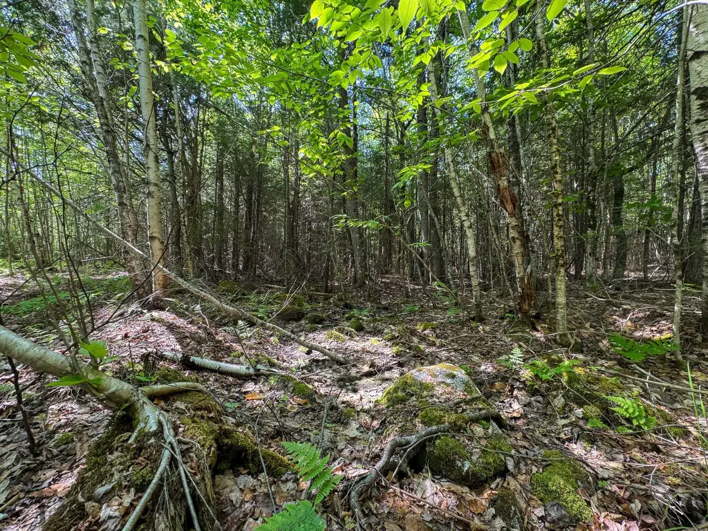
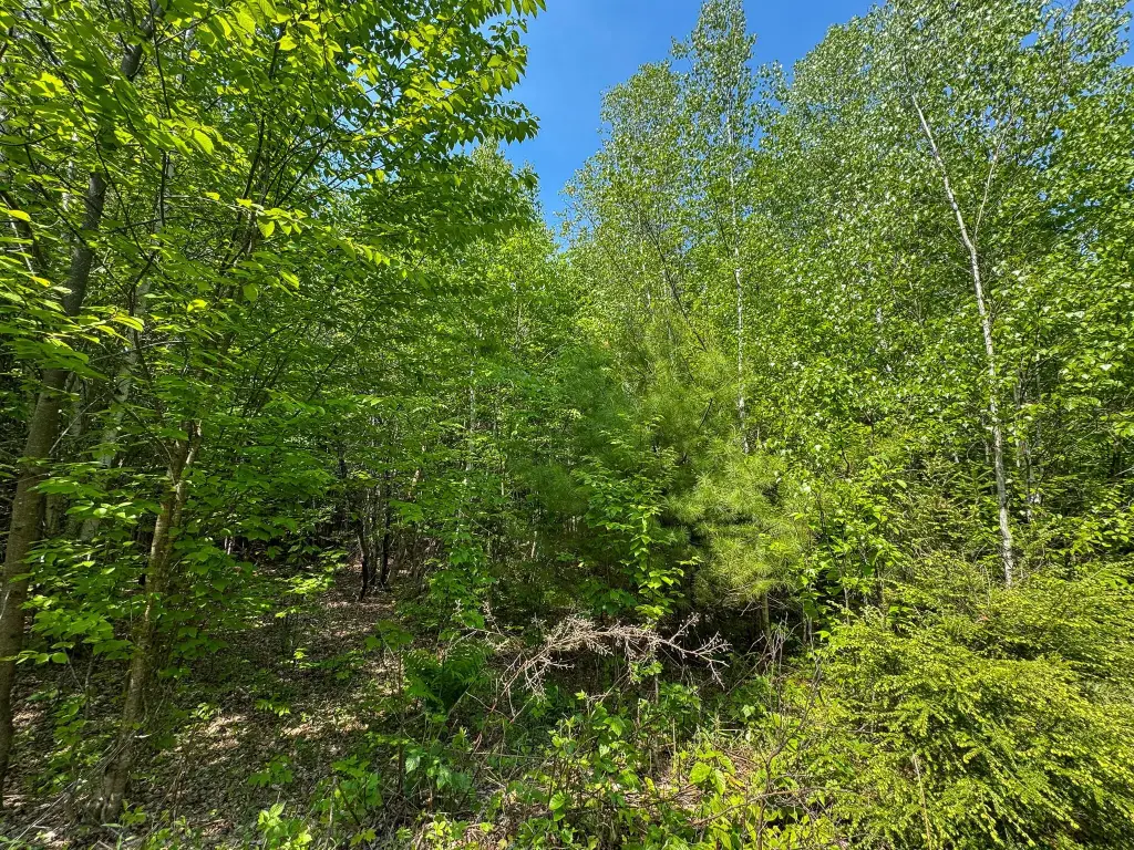
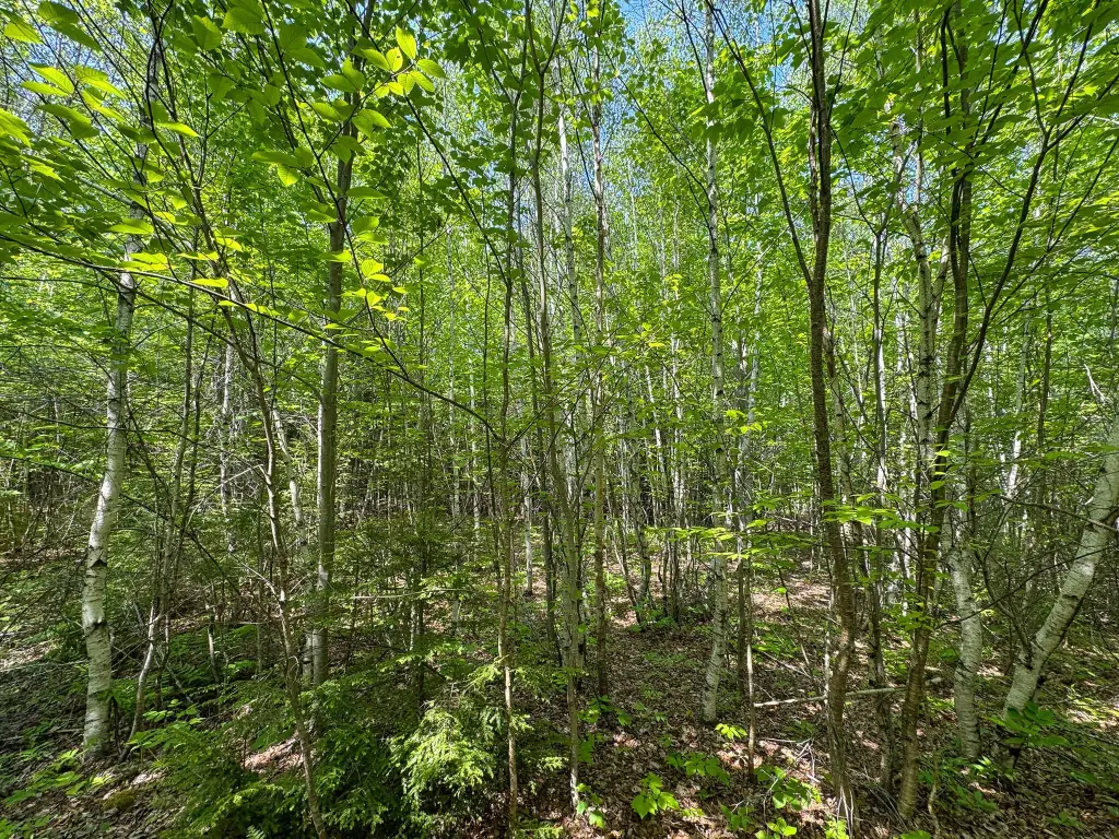
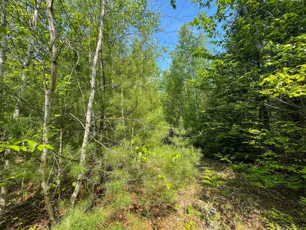
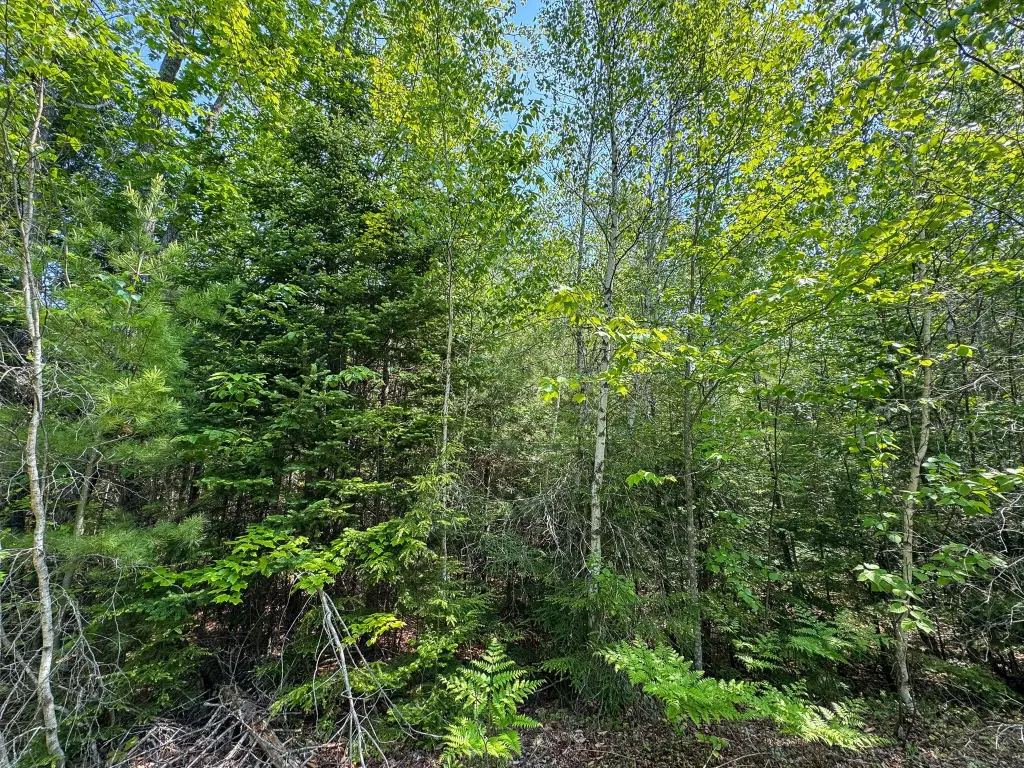
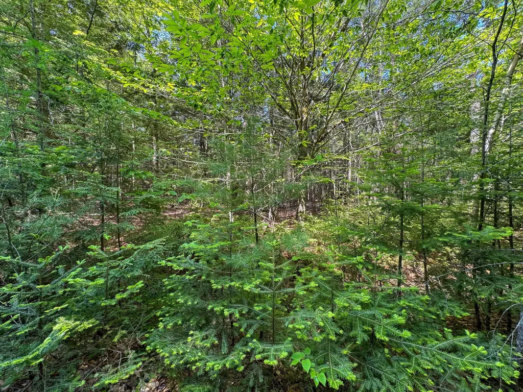
This 100± acre rural property is accessed via a deeded right-of-way driveway and opens into a wooded setting with tall trees and abundant wildlife. A trail runs through a portion of the land, supporting on-site use for exploring and active recreation, including hunting, hiking, ATV use, and wildlife observation. The property is described as having Plaisted loam soils and includes power available at the entrance to the right-of-way driveway, which can support plans for a cabin, seasonal retreat, hunting camp, or year-round residence in a natural setting.
Located in Maxfield, the property is positioned to serve as a base area for four-season outdoor activities, with Maxfield noted for its proximity to ATV and snowmobile trail systems. The town of Howland is about five minutes away for gas, convenience stores, takeout dining, and everyday necessities, while Lincoln is approximately 25 minutes north for larger grocery stores, restaurants, healthcare services, shopping, and additional amenities. Bangor is roughly 35 minutes south and includes an international airport, major retailers, and hospitals.
With a deeded access drive, established trail presence, and power at the entrance, the land can fit buyers looking for private recreational acreage with practical build-supporting infrastructure. Wildlife activity is described as significant for deer, making it especially aligned with hunting and nature-focused use, while also offering multiple avenues for future land management or personal development plans.
Key Highlights
- 100± acre wooded land in Maxfield off Bunker Hill Road, accessed via a deeded right‑of‑way driveway
- Deeded right‑of‑way driveway with power available at the entrance for planning future building use
- Trail on the property provides access for exploring, hunting, hiking, ATV use, and wildlife observation
Property Analytics
Property Profile
Location Intelligence
Current Use by Public Records
Hunting land
FAQs
What type of property is this?
Hunting land - 100-acre rural parcel accessed by a deeded right-of-way with on-site trail and power available at the driveway entrance.
Where is this hunting land located?
The property is located at M1 L2 Bunker Hill Road Maxfield, ME.
What is the asking price?
The asking price for this property is $136,000.
What are key features of this property?
This property features: 100± acre wooded land in Maxfield off Bunker Hill Road, accessed via a deeded right‑of‑way driveway; Deeded right‑of‑way driveway with power available at the entrance for planning future building use; Trail on the property provides access for exploring, hunting, hiking, ATV use, and wildlife observation


