Timbered Hunting Land with
For Sale
$595,000
Low Gap Lane, Long Creek, OR 97856
Land, LongCreek, OR
Property SizeContact for details
Lot Size272.00 Acres
Days on Market208
Property Features for Low Gap Lane
General Information
Property type
Land
Property subtype
Other
Zoning
PF
Elementary school
Long Creek
Middle school
Long Creek
High school
Long Creek
Directions
Hwy 395 To Porter Rd then Low Gap Lane
Subdivision
_410
Standard status
Active
APN
09S311500
Lot size
272.00 Acres
Taxes and HOA fees
Tax Description
9-31-TL 1500;9370/1600;6534;/1700;6535; Sec 8 & 9
Tax Annual Amount
1180
Legal Description
9-31-TL 1500;9370/1600;6534;/1700;6535; Sec 8 & 9
Utilities
Water front features
Creek
Water front
1
Listing Agency:
Cupper Creek Land Company LLC
(541) 934-2946
Listed By:
Julie Mansfield-Smith
(541) 519-6891
Added: Mar 11
Changed: Sep 19
Last Checked: Oct 4 at 7:06PM
MLS# 380631150
Copyright © 2026 Regional Multiple Listing Services. All rights reserved. All information provided by the listing agent/broker is deemed reliable but is not guaranteed and should be independently verified.
Investment Insights
Based on property information with market context.
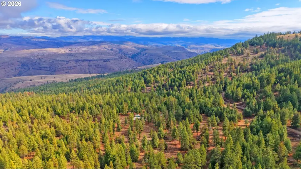
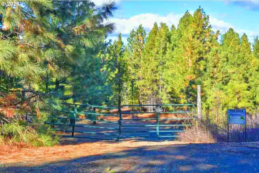
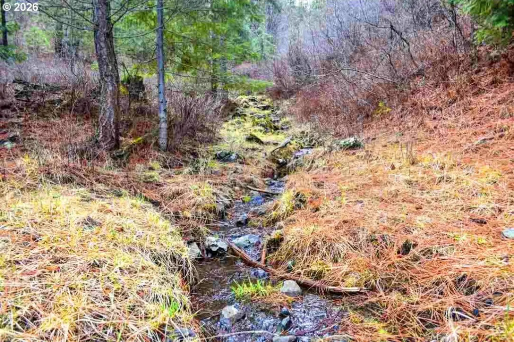
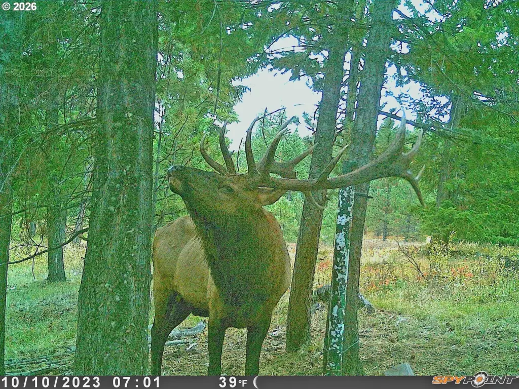
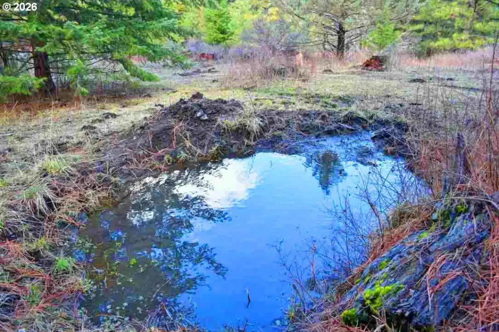
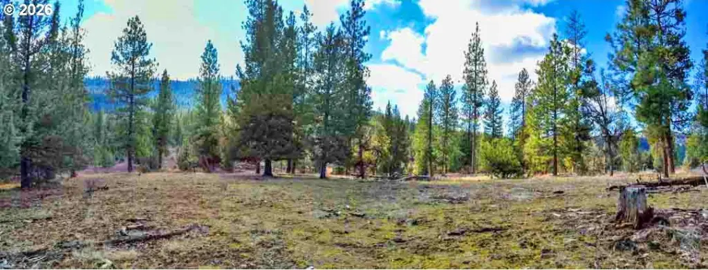
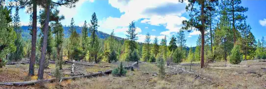
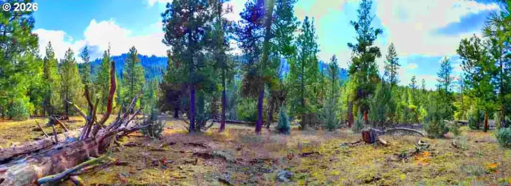
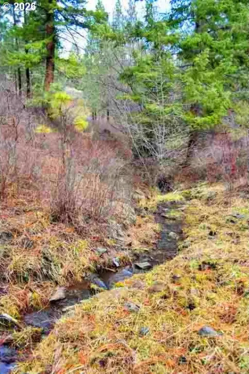
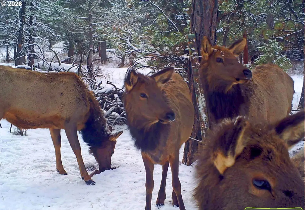
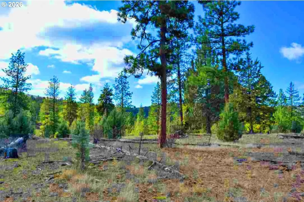
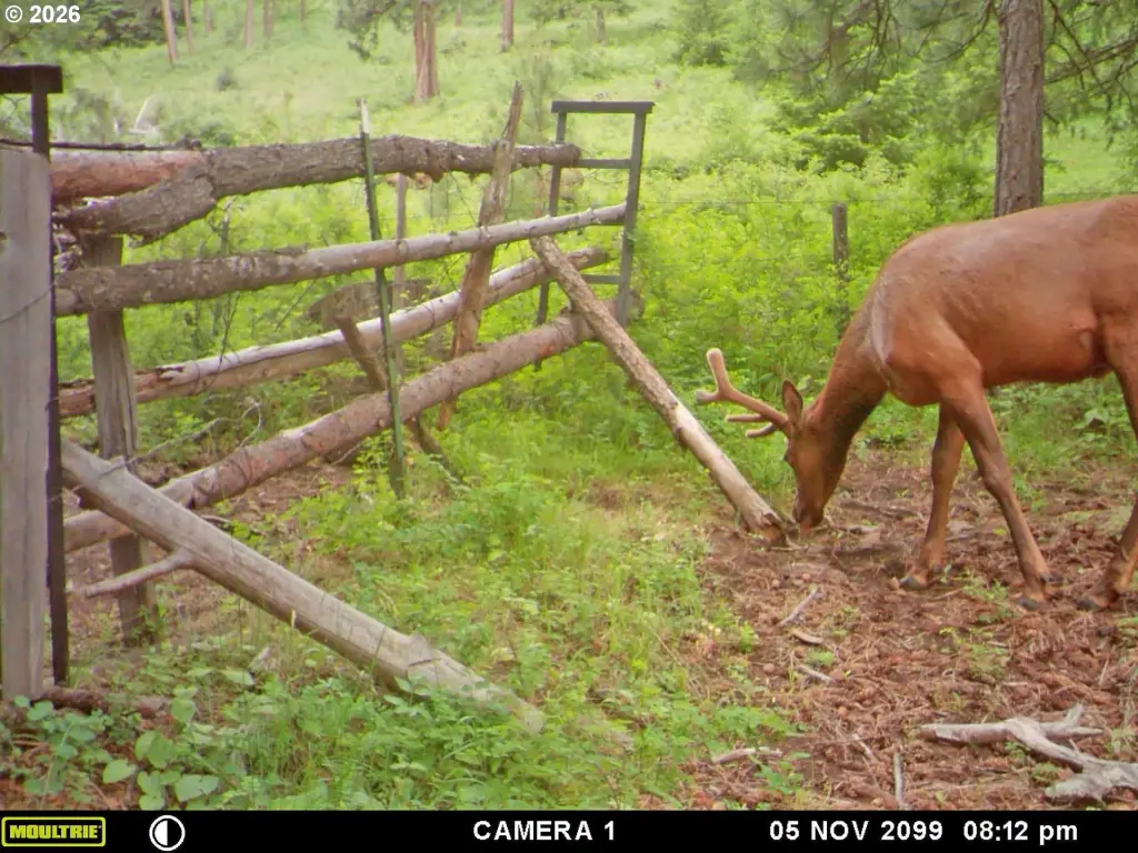
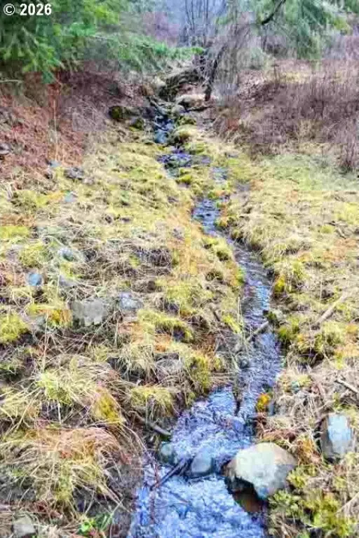
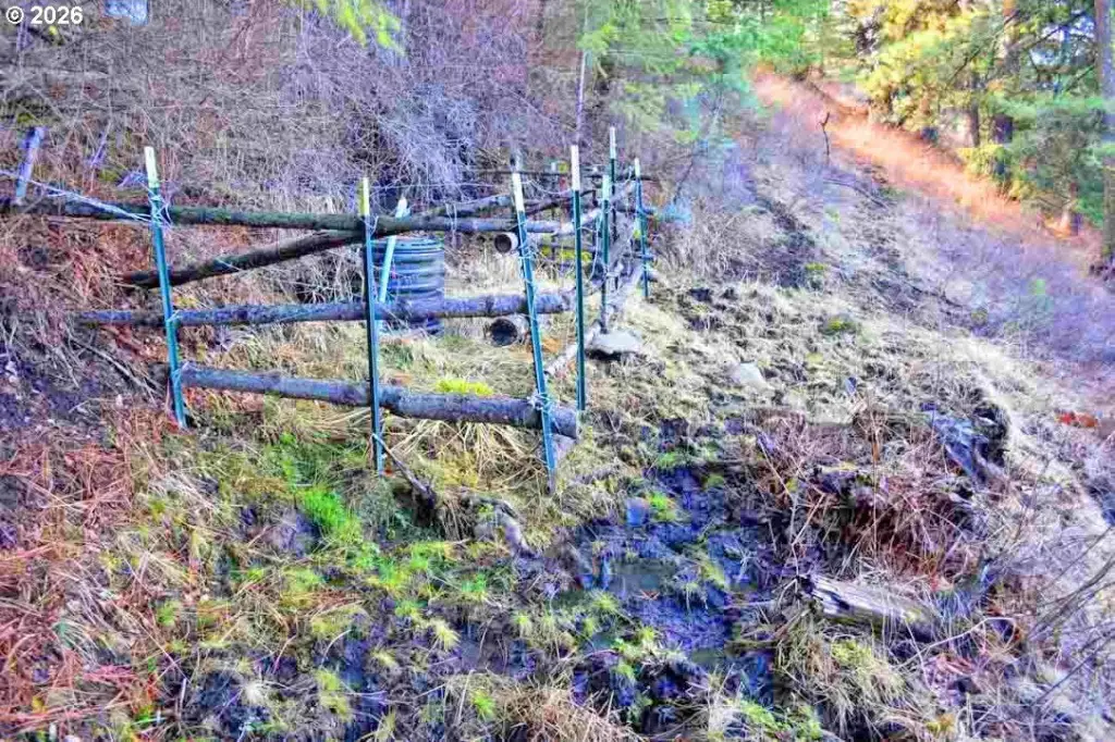
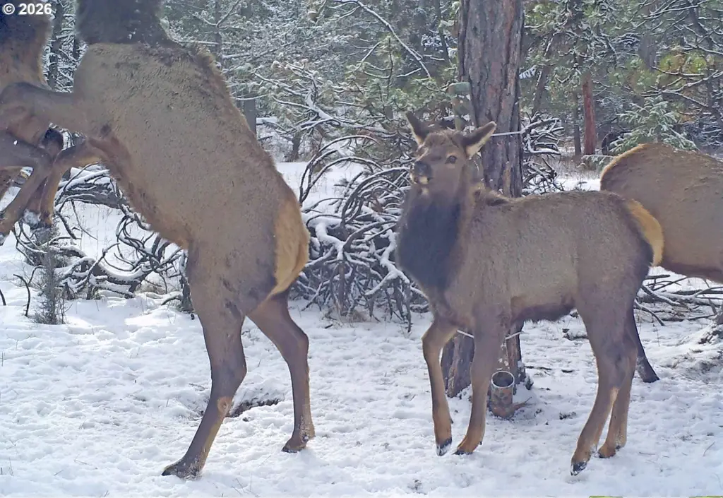
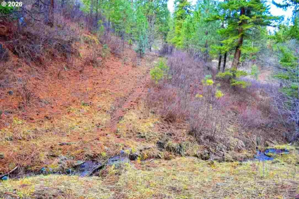
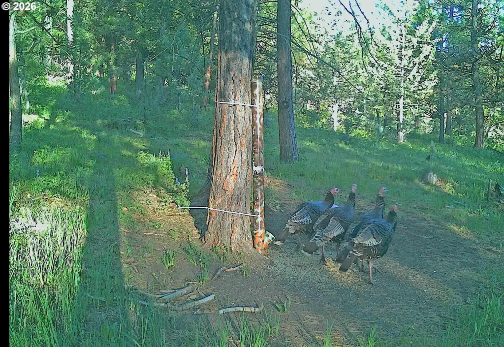
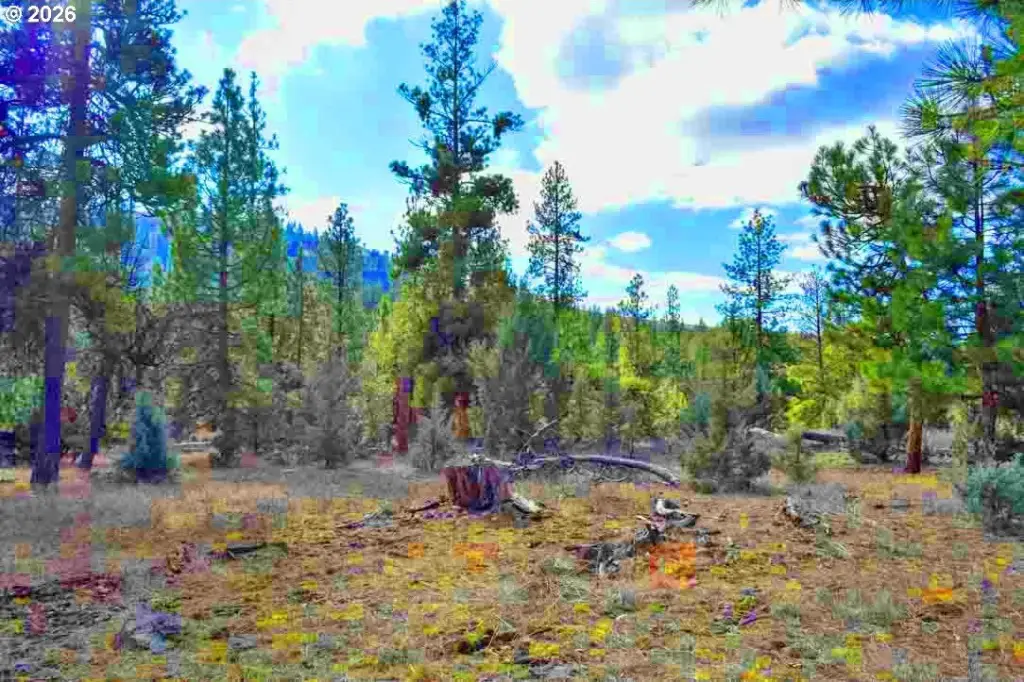
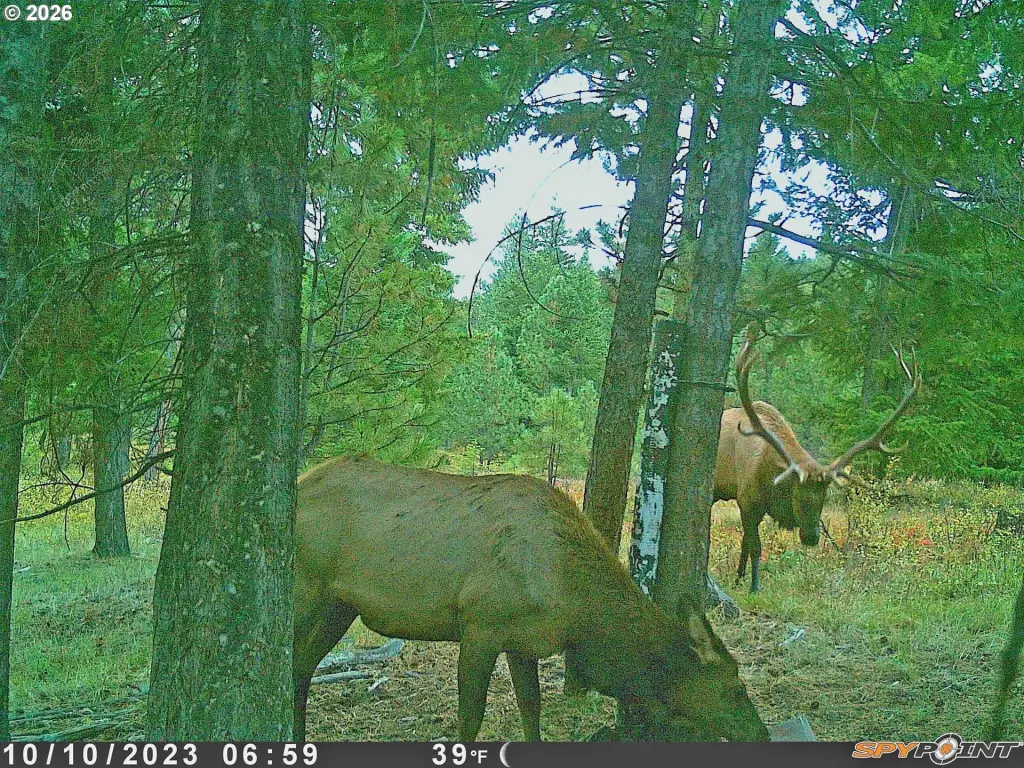
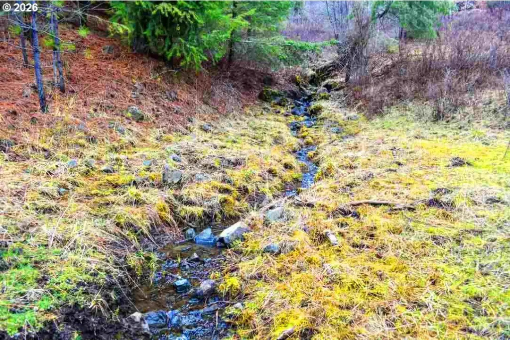
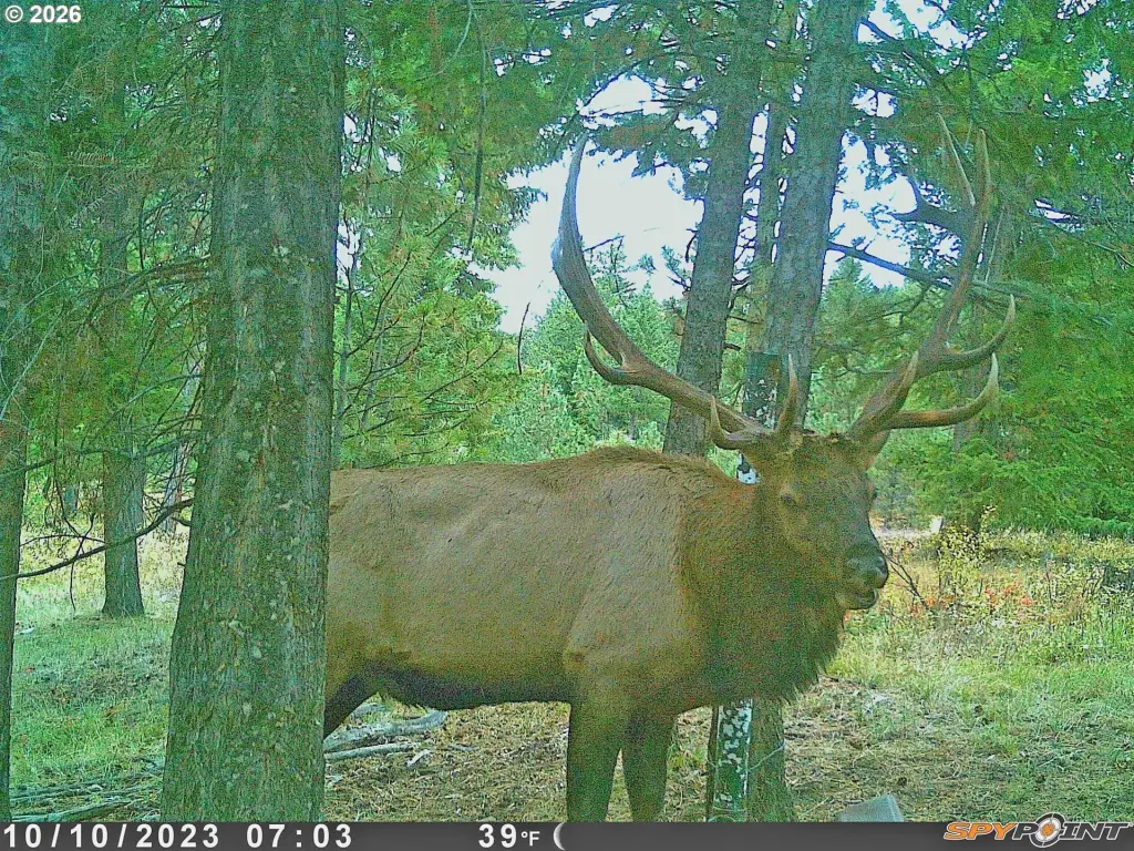
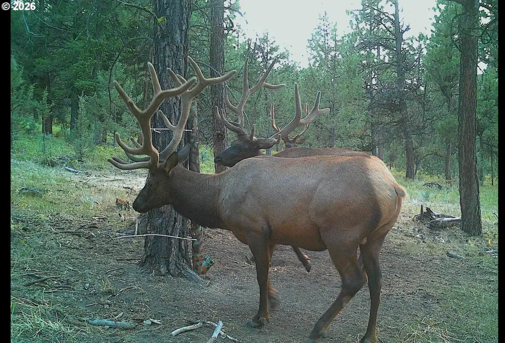
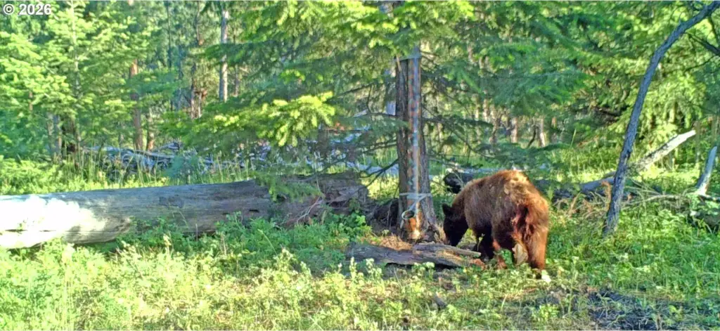
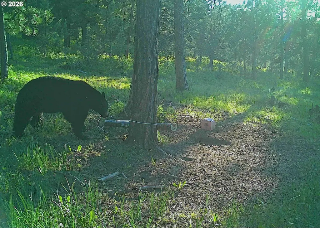
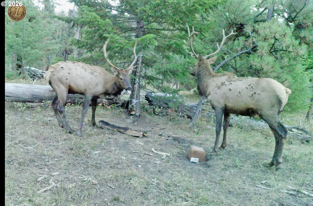
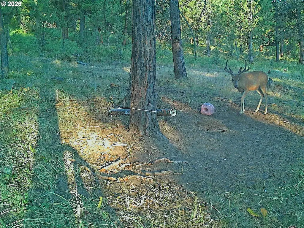
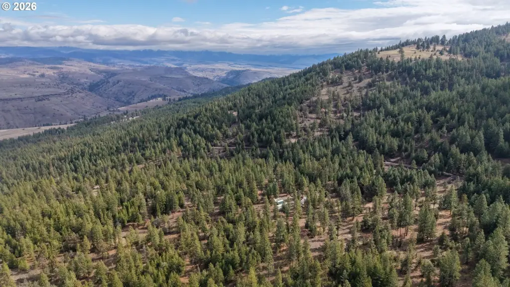
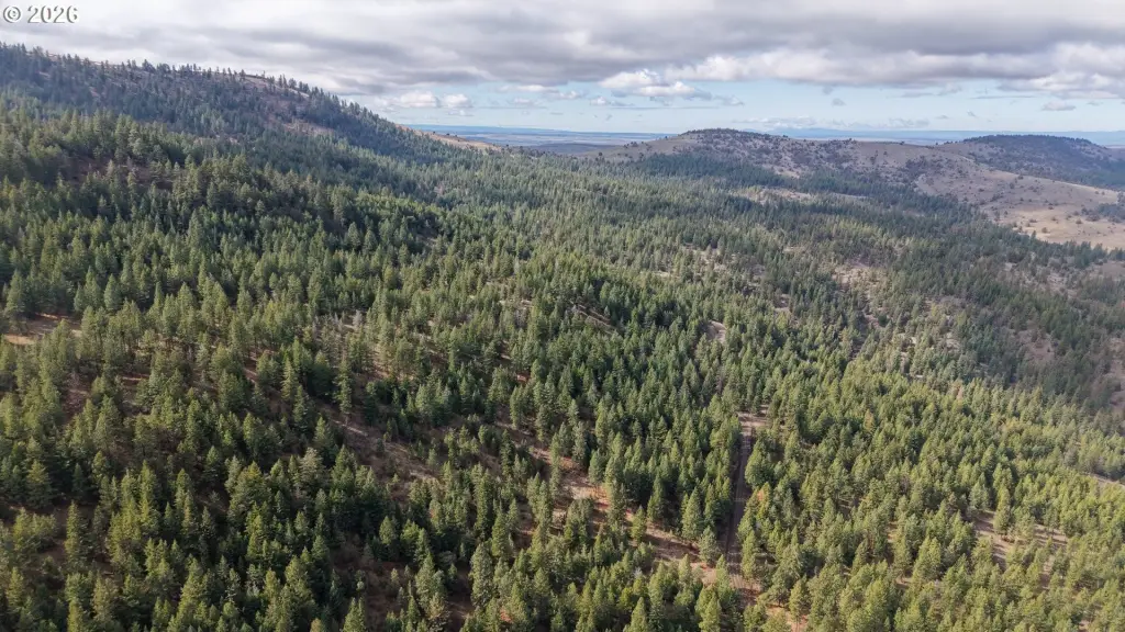
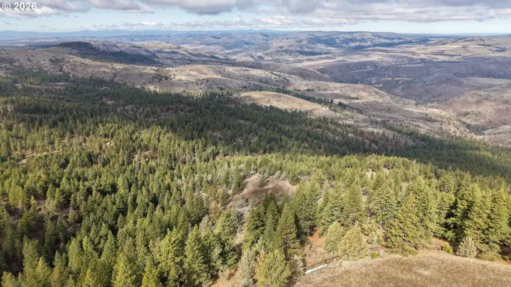
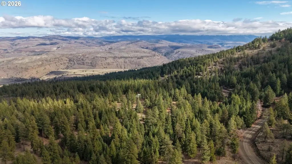
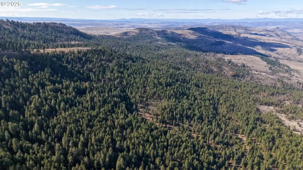
This 272-acre hunting property combines Ponderosa pine, Douglas fir, and juniper forest with timbered draws, wildlife habitat, and two creeks, including Bull Run Creek, which flows year-round. A perimeter fence, survey, light summer grazing, and a year-round county-maintained road support practical land management and access. The property is zoned PF and qualifies for LOP tags in the North Side Hunting Unit.
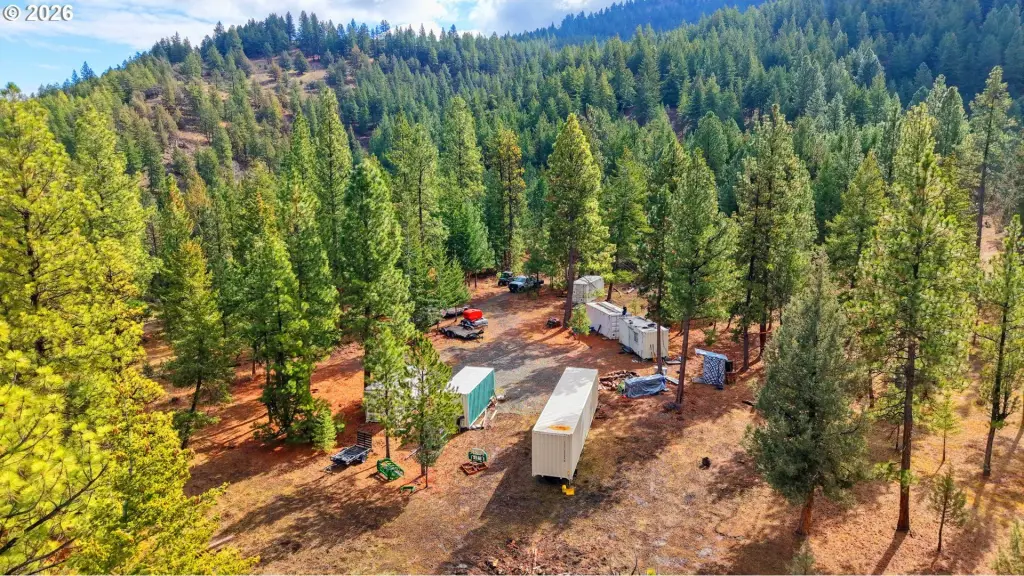
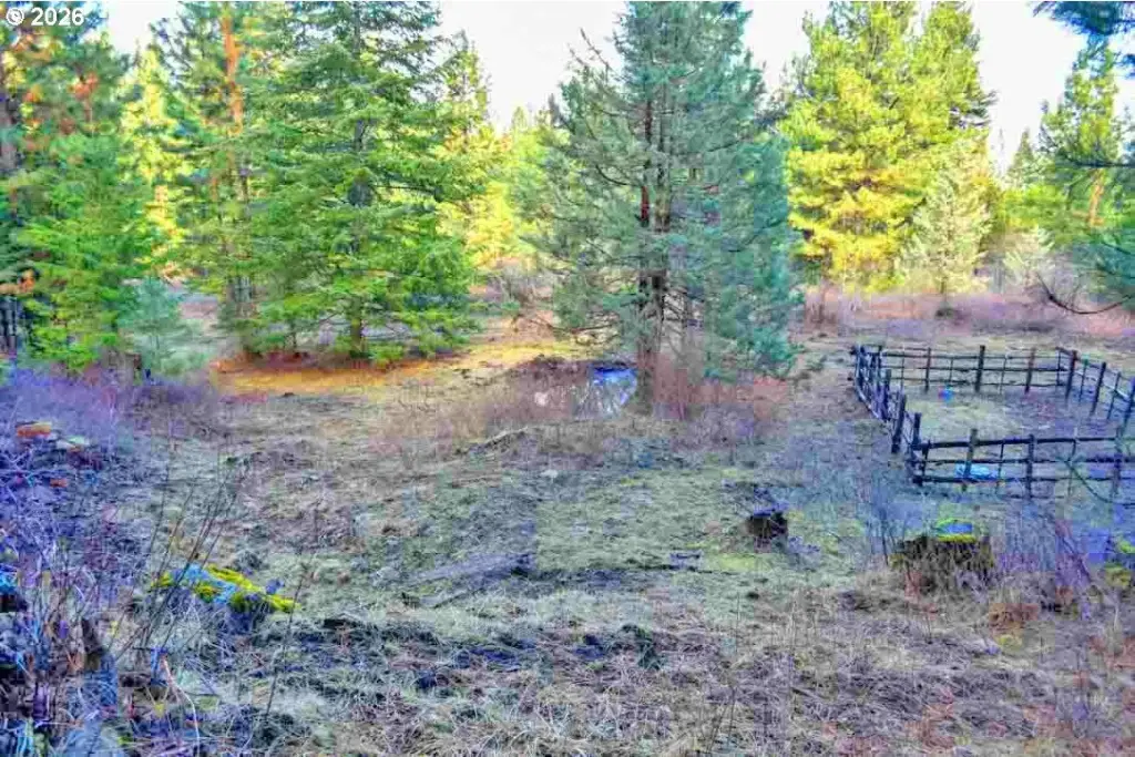
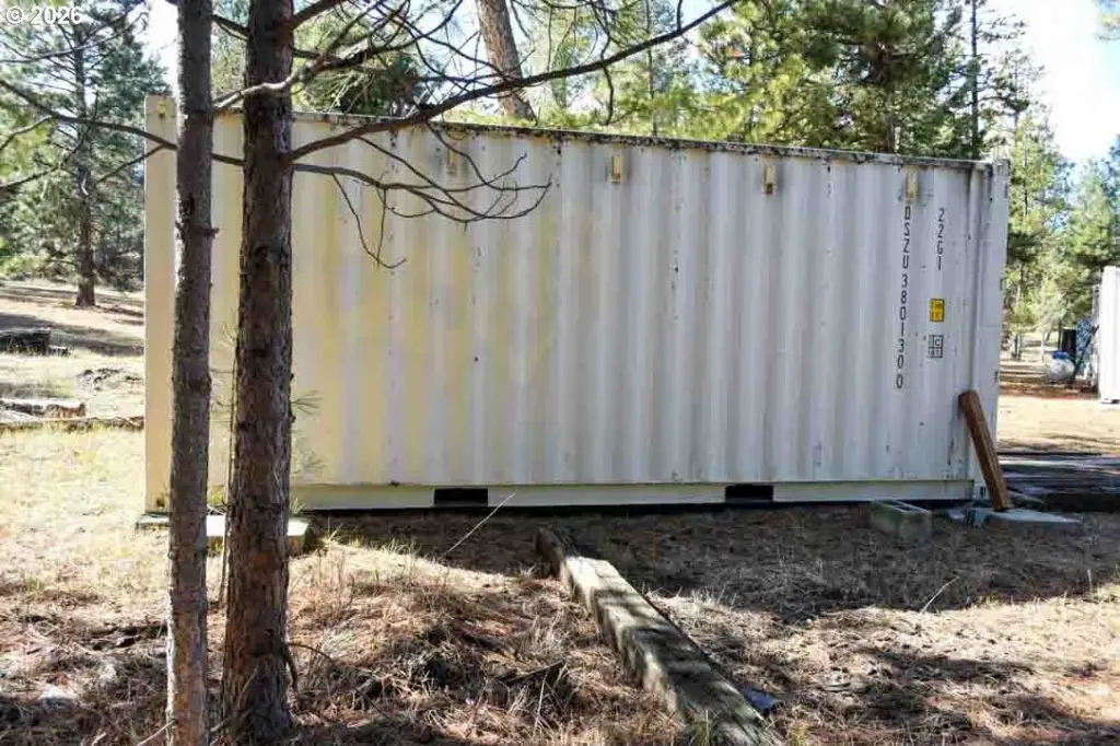
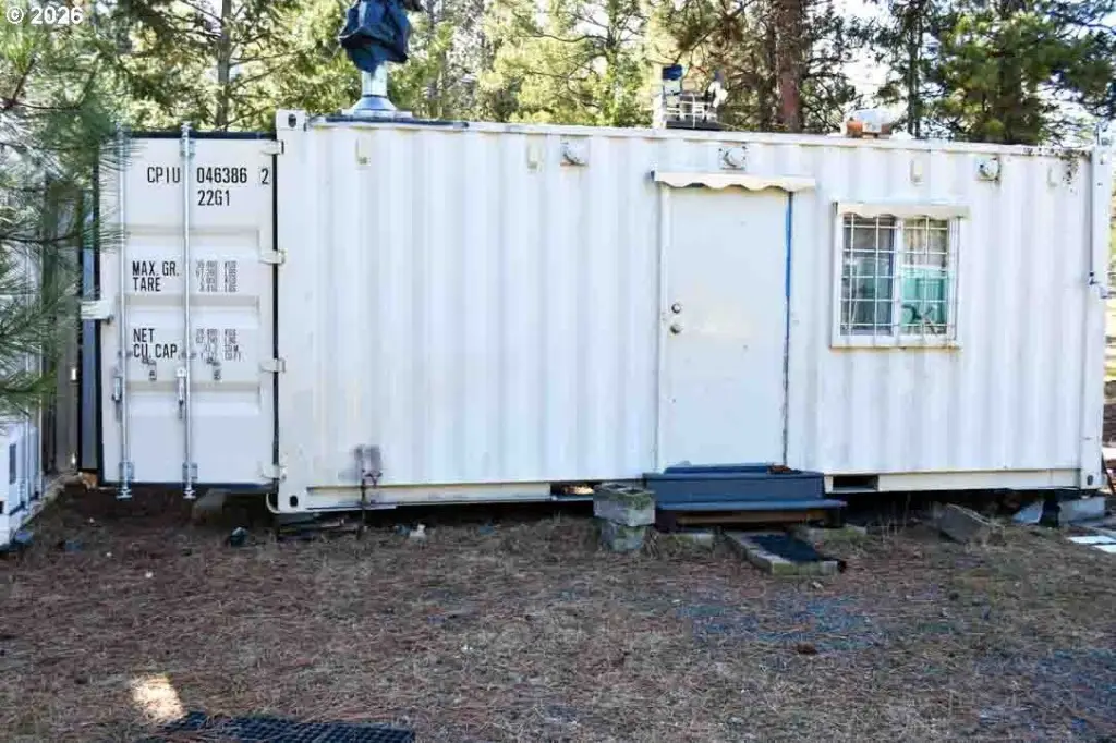
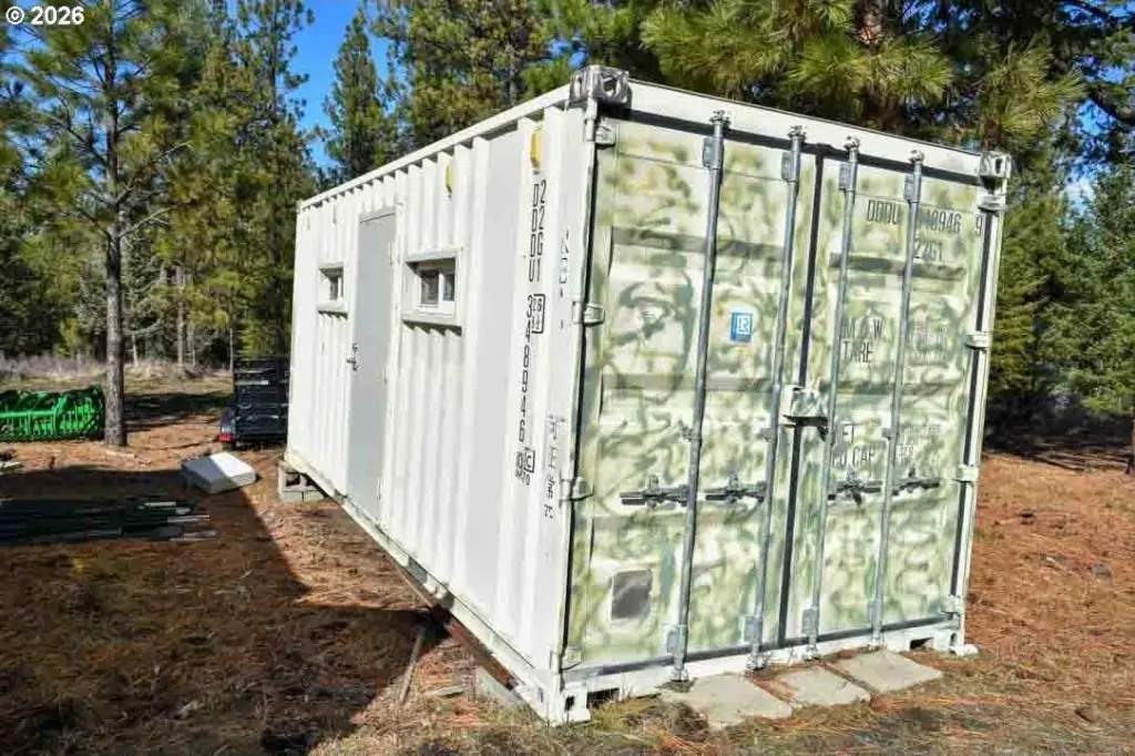
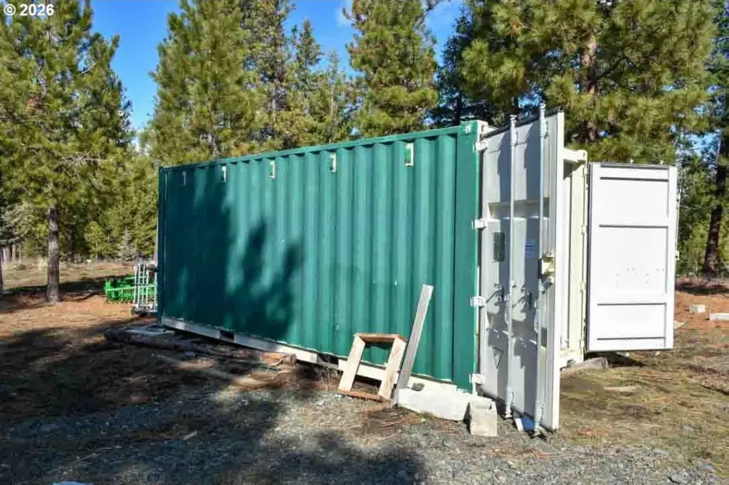
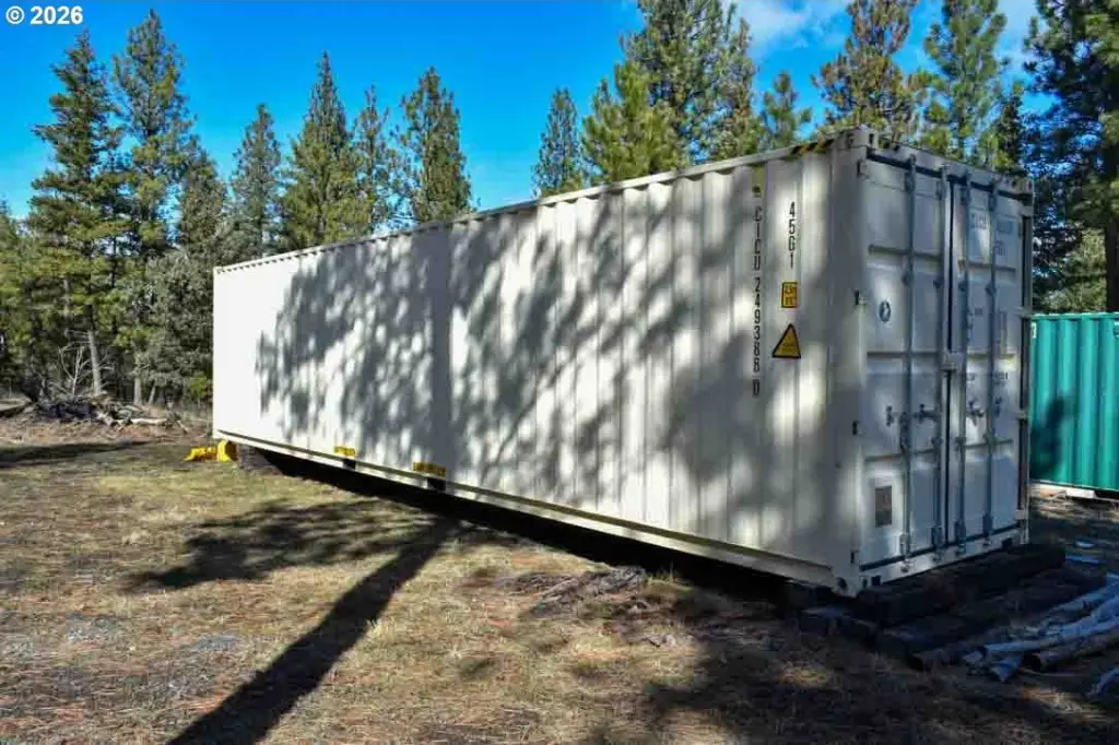
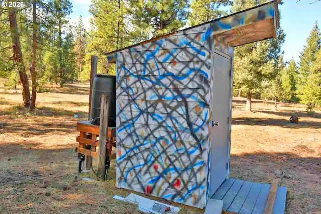
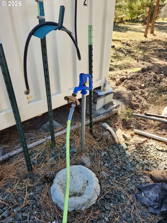
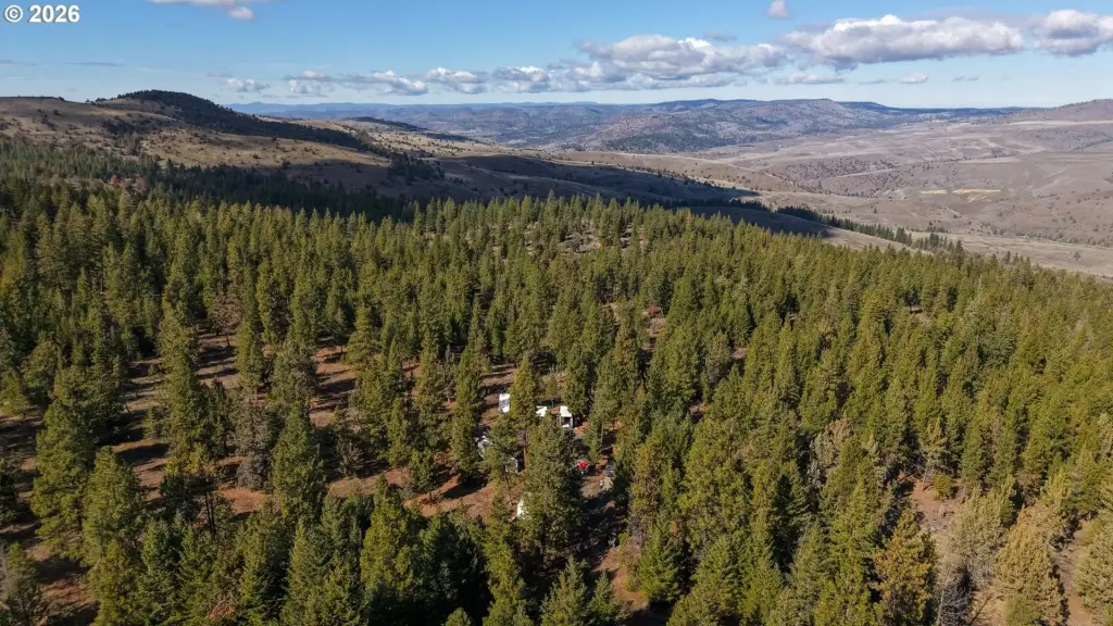
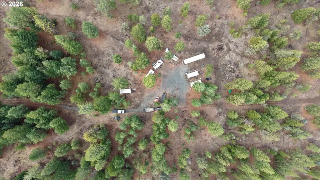
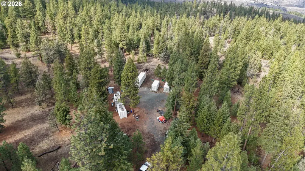
A large shaded clearing provides a camping area with leveled parking, a 1,675-gallon in-ground water tank, and spring-fed gravity-flow water piped to a converted shipping-container cabin. The camp includes a generator, propane/butane heating and appliances, a cooking area, sleeping quarters, a built-in bed, table, oak cabinets, insulation, ventilation, and 100 Amp wiring. Additional steel cargo containers and other equipment may be purchased outside escrow. The property is located ten miles from town and borders private and public lands with access beyond to Malheur National Forest.
A large shaded clearing provides a camping area with leveled parking, a 1,675-gallon in-ground water tank, and spring-fed gravity-flow water piped to a converted shipping-container cabin. The camp includes a generator, propane/butane heating and appliances, a cooking area, sleeping quarters, a built-in bed, table, oak cabinets, insulation, ventilation, and 100 Amp wiring. Additional steel cargo containers and other equipment may be purchased outside escrow. The property is located ten miles from town and borders private and public lands with access beyond to Malheur National Forest.
Key Highlights
- 272 acres of hunting land in Grant County, Oregon
- Year‑round Bull Run Creek and a second creek on the property
- Ponderosa pine, Douglas fir, juniper forest, and timbered wildlife draws
Property Analytics
Current Use
Lease Details
Turnkey business
Opportunity
Yes
Fenced yard
Yes
Paved road access
Location Intelligence
Demographics for 97856, OR
409
Population
297
Households
1.4
Avg Household Size
53
Median Age
18%
College-Educated
86%
High-School Grad
540.8 sq mi
ZIP Area
1
Density / Sq Mi
$37,438
Median Household Income
$29,594
Median Earnings
$708
Median Rent
$254,200
Median Home Value

Questions? Ask Rey
Realmo’s AI knows this listing — price, zoning, demand, history. Ask anything.


Frequently Asked Questions
What type of property is this?
Hunting land - Off-grid recreational acreage with forest cover, year-round creek access, and a private camping compound.
Where is this hunting land located?
The property is located at Low Gap Lane Long Creek, OR.
What is the asking price?
The asking price for this property is $595,000.
What are key features of this property?
This property features: 272 acres of hunting land in Grant County, Oregon; Year‑round Bull Run Creek and a second creek on the property; Ponderosa pine, Douglas fir, juniper forest, and timbered wildlife draws


