Old Quarry Road lot 14 & 15, Charleston, VT 05872

- Added:
- Aug 10, 2024
- Days on Market:
- 664
- Last Refresh:
- Jun 4 at 4:06 am
Property Features for Old Quarry Road lot 14 & 15
General Information
- Property type
- Land
- Property subtype
- Other
- Standard status
- Active Under Contract
- Lot size
- 4.16 Acres
Taxes and HOA fees
- Tax Year
- 2024
- Tax Annual Amount
- 1042
Utilities
- Utilities
- Cable Available
- Sewer type
- Septic Needed
- Water source
- Well, Private
- Water front
- 1
Listing agent Nicholas Maclure (802) 334-1200
Listing office Century 21 Farm & Forest 34 Up North Dr, Derby, VT (802) 334-1200
Listing date Aug 10, 2024
Copyright © 2026 PrimeMLS. All rights reserved. All information provided by the listing agent/broker is deemed reliable but is not guaranteed and should be independently verified.
HighLights
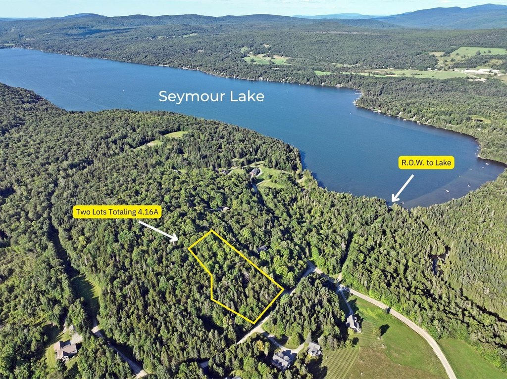
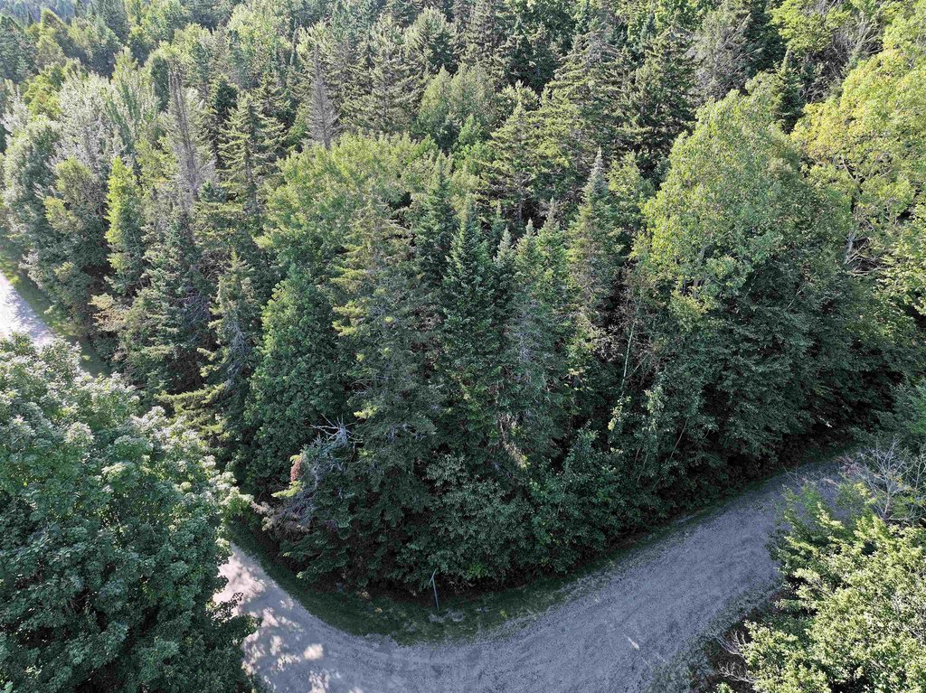
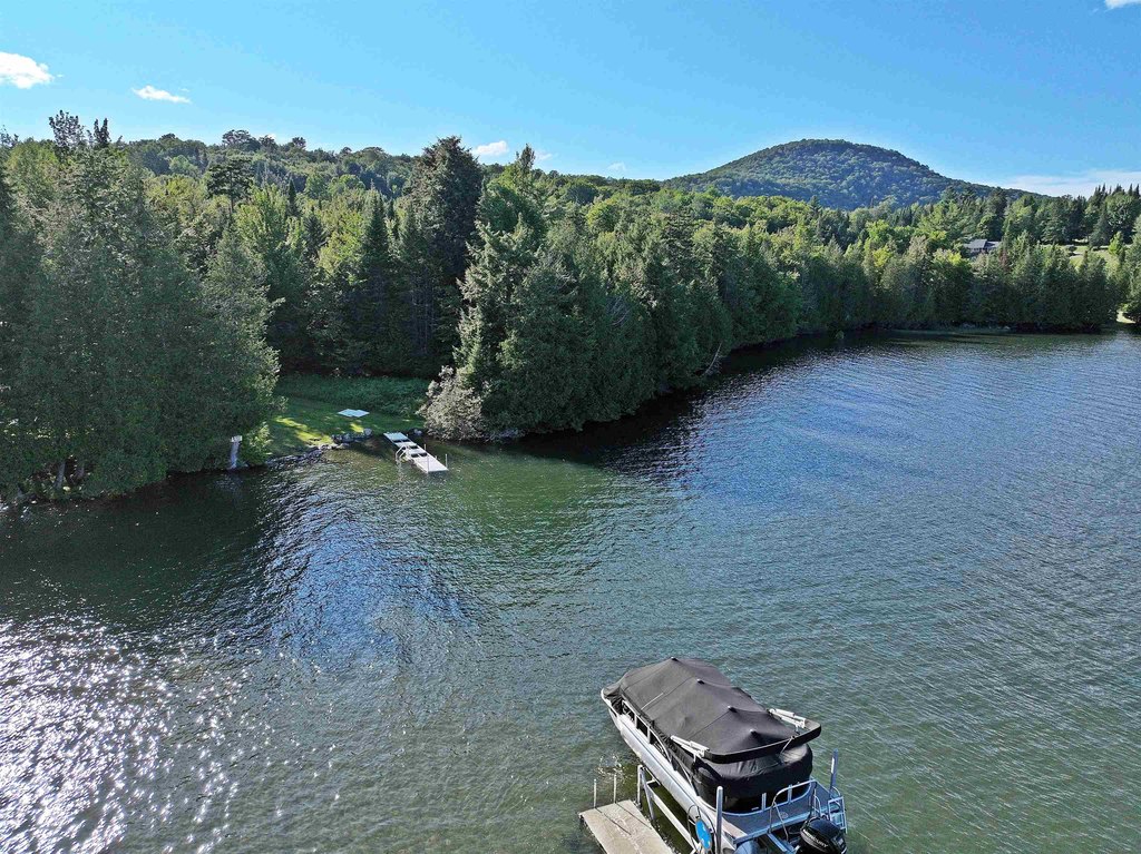
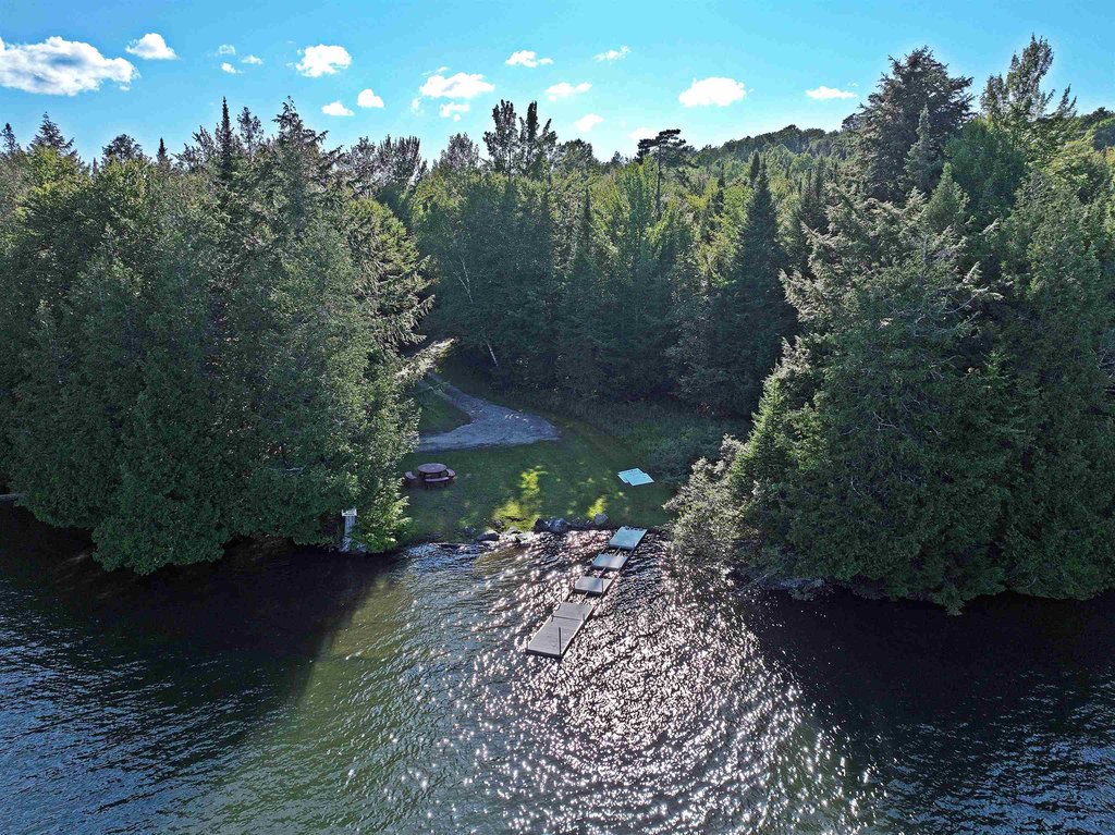
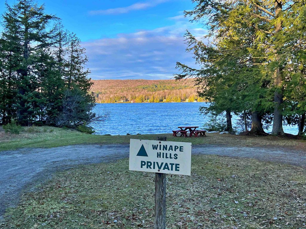
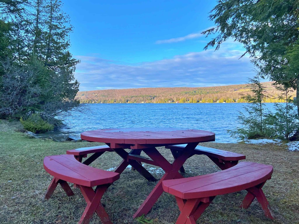
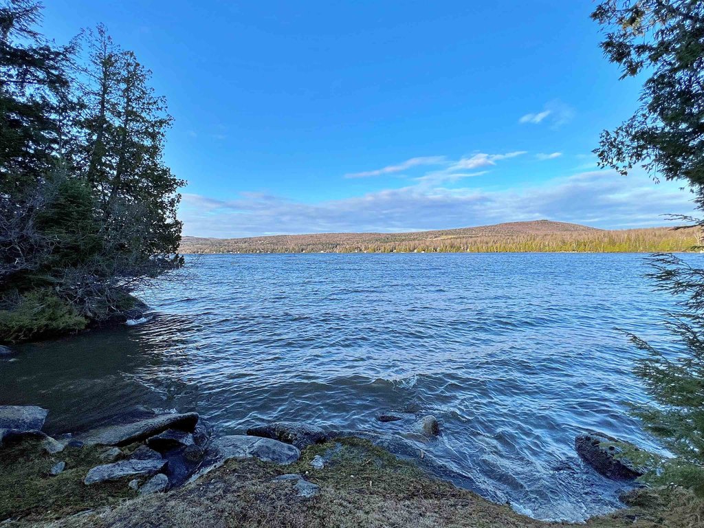
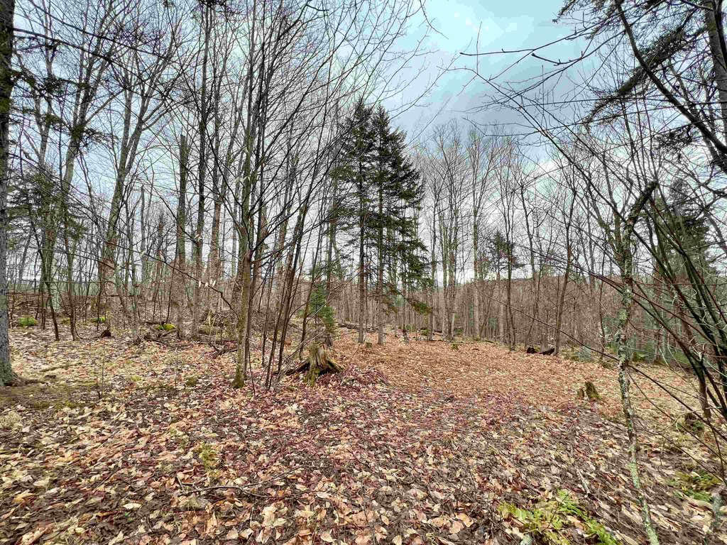
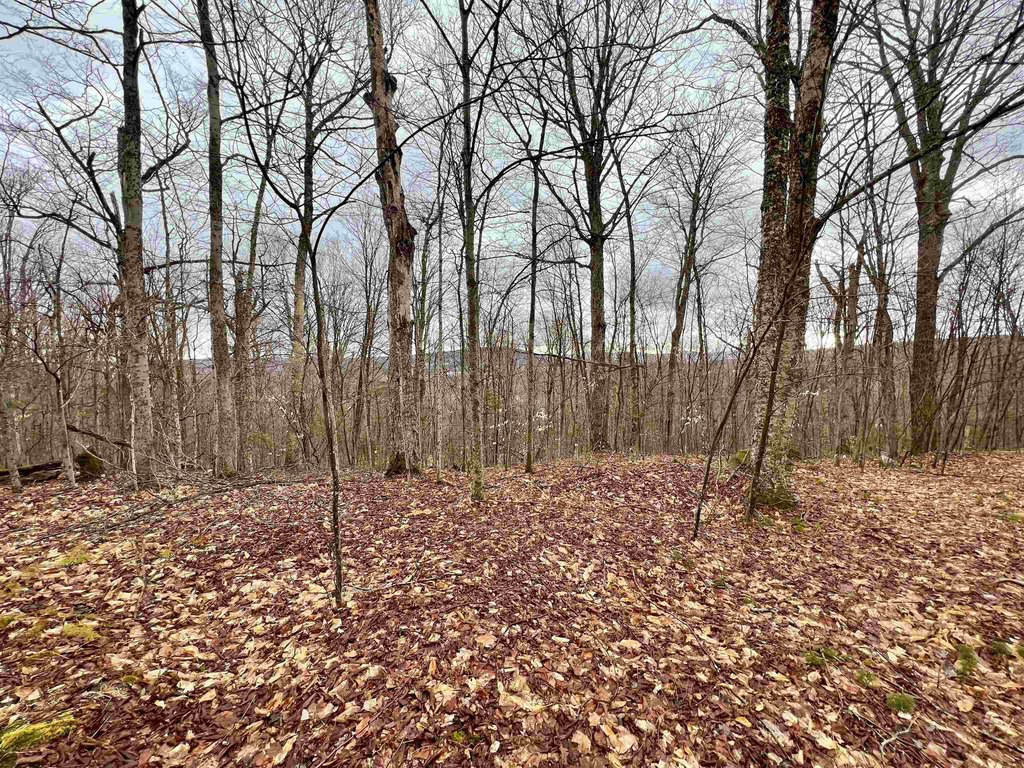
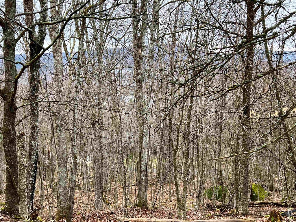
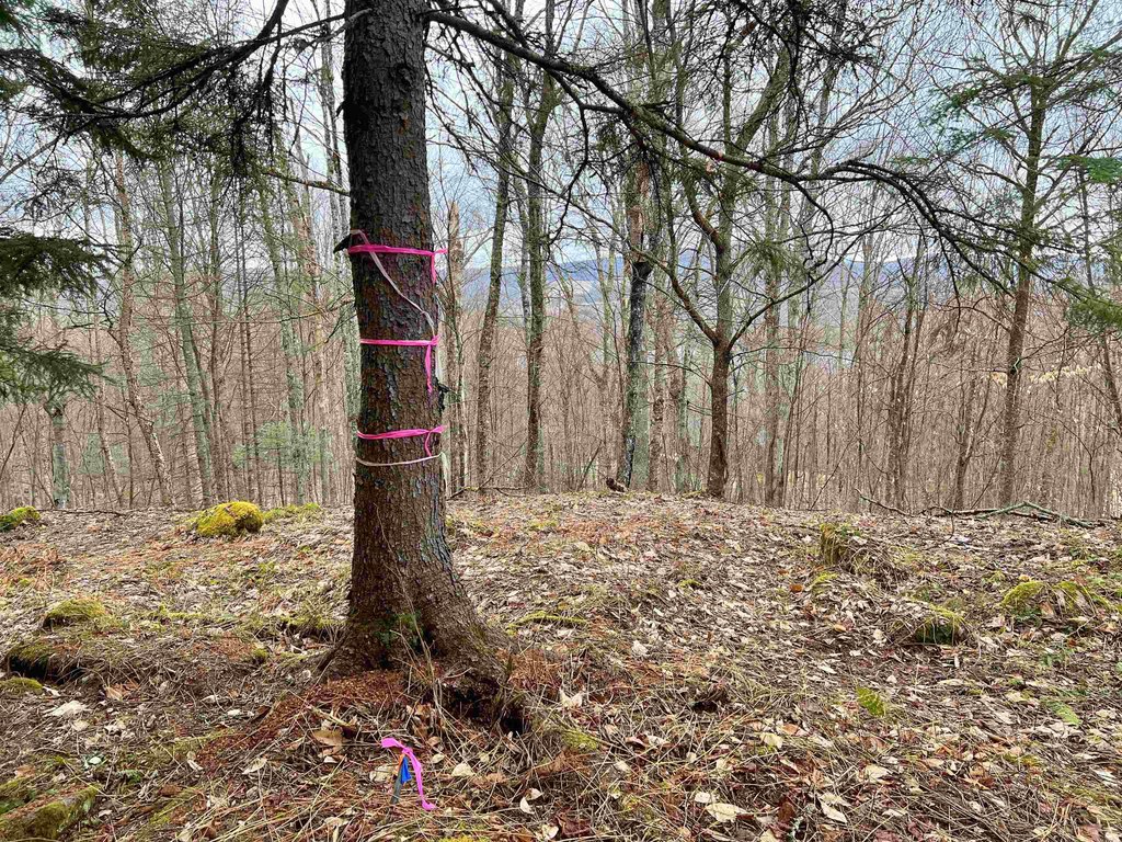
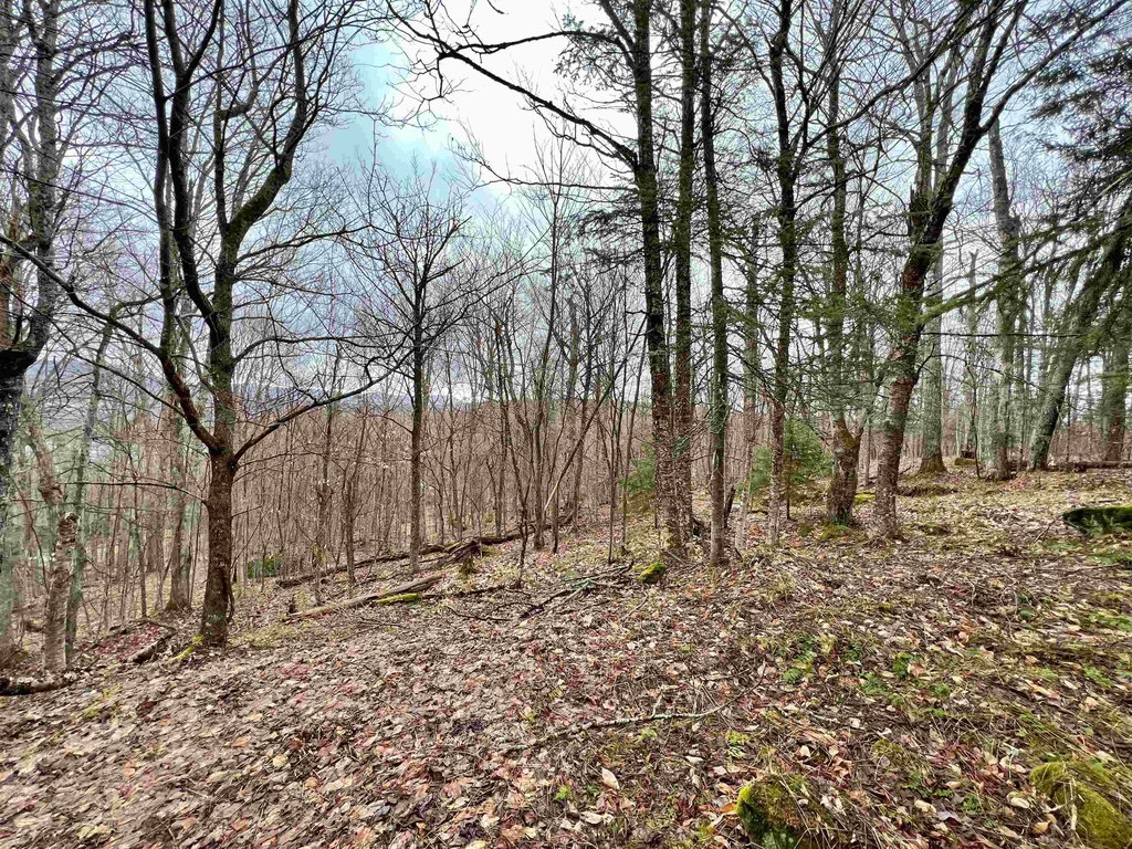
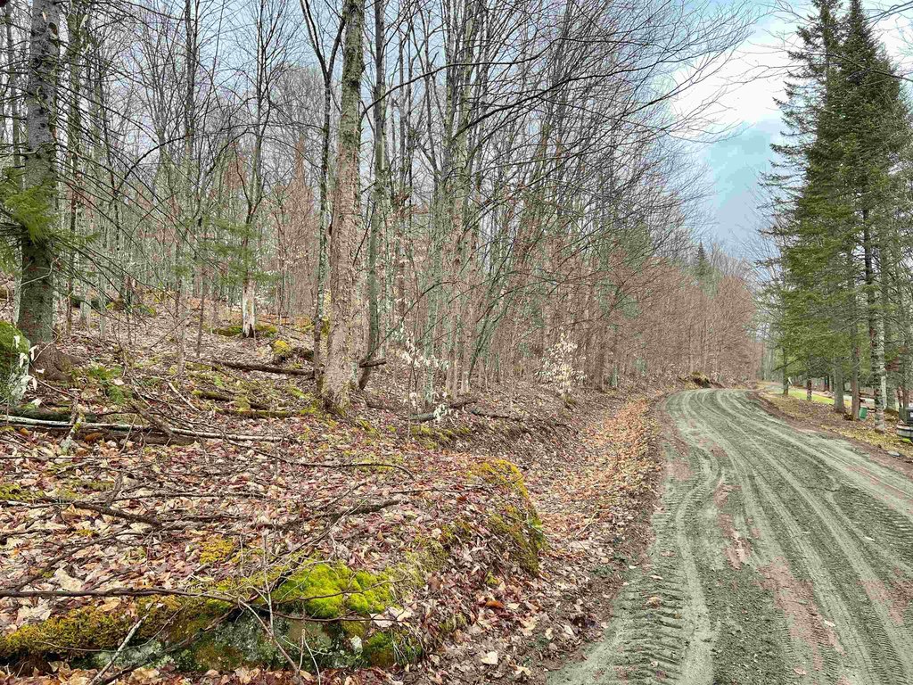
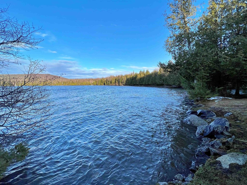
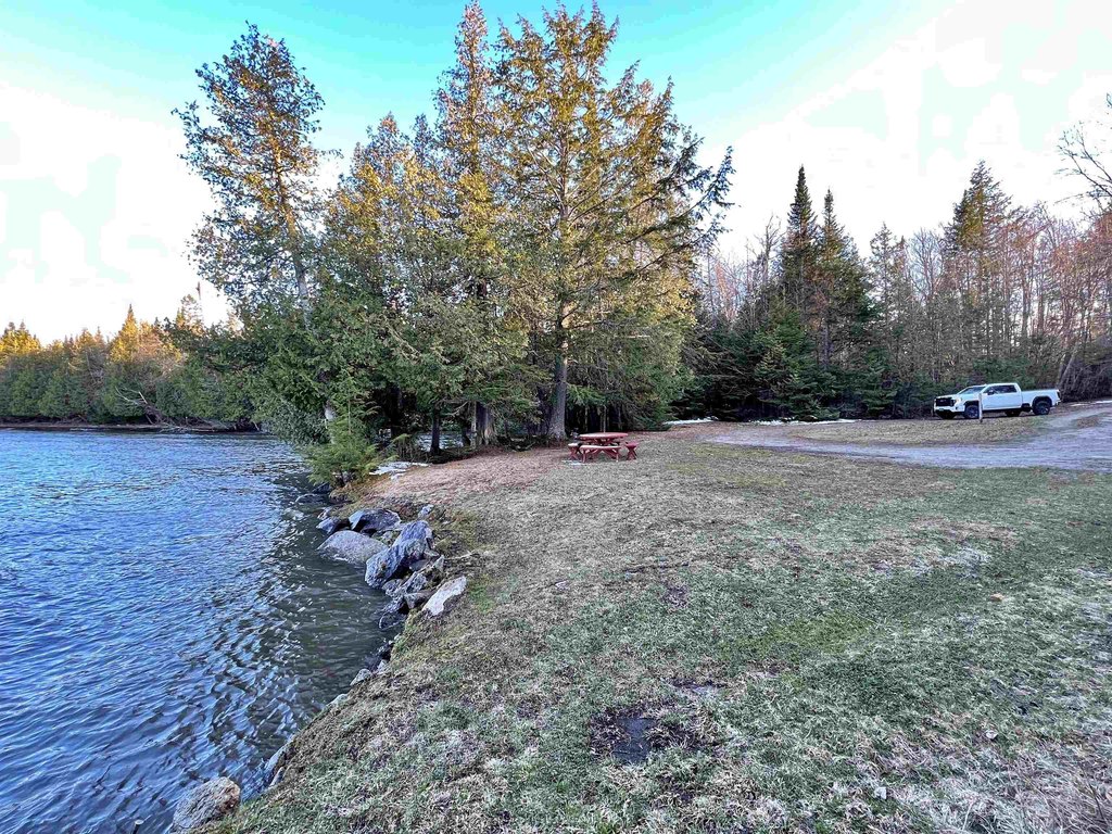
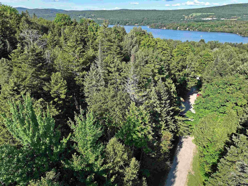
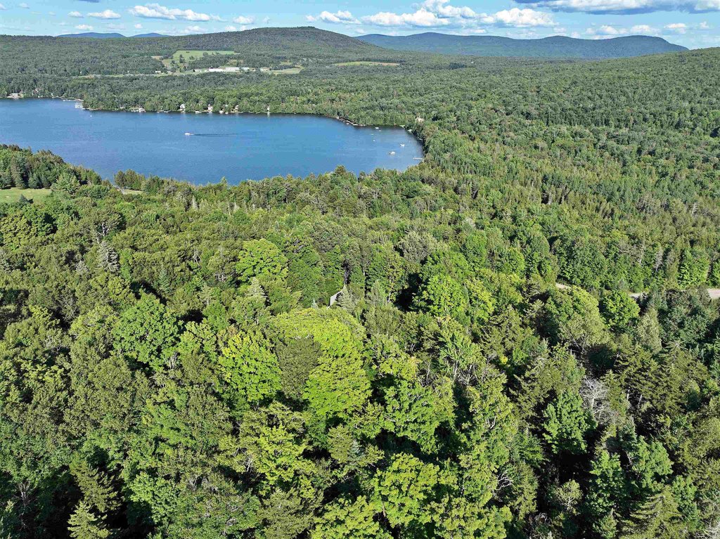
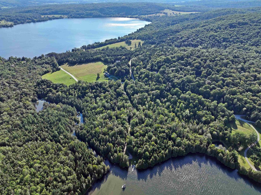
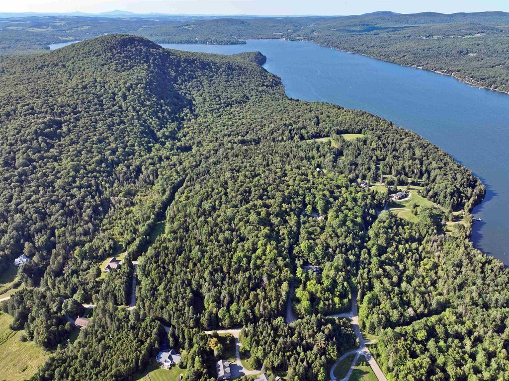
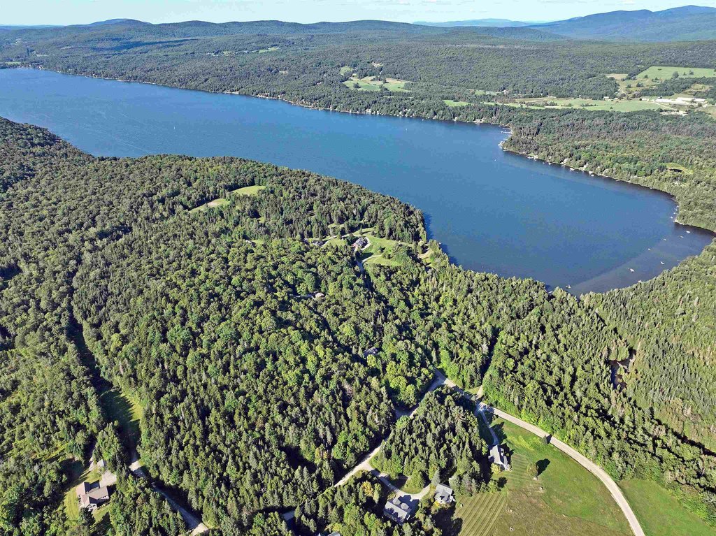
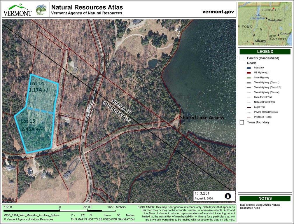
- Two wooded lots included: Lot 14 (1.71A) and Lot 15 (2.45A) in Winape Hills with deeded waterfront access to Seymour Lake
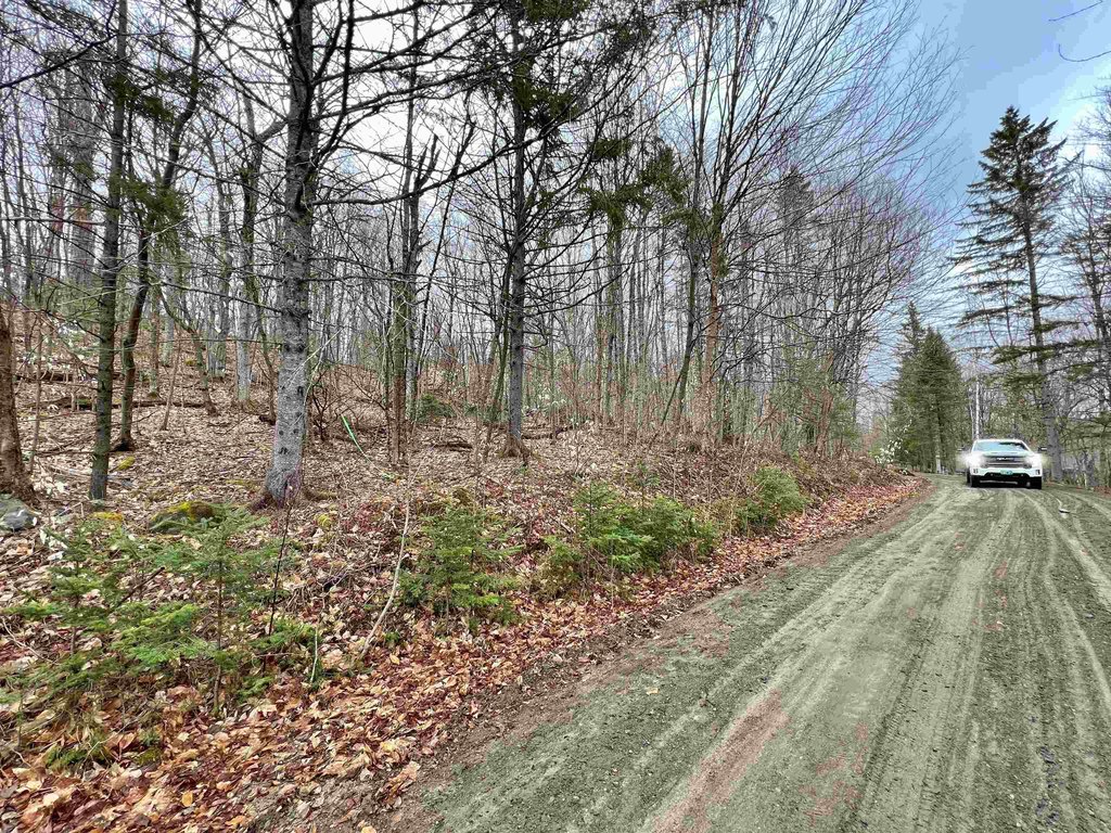
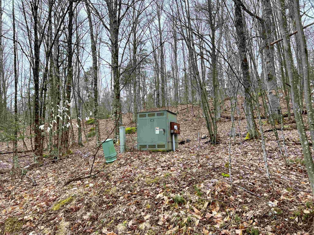
- Underground power and Comcast/Xfinity cable available on site
- Lot 15 has access to a shared drilled well across the road
- Preliminary soil testing on file from All Systems Septic Design; septic needed
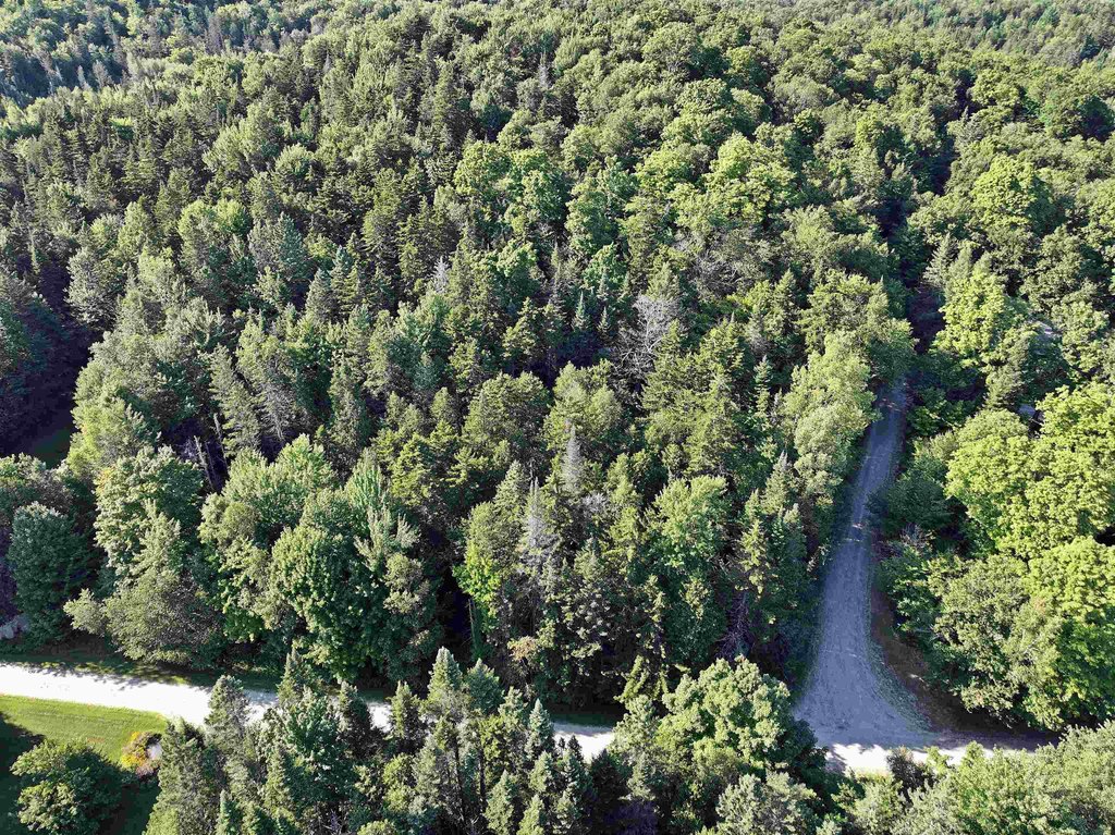
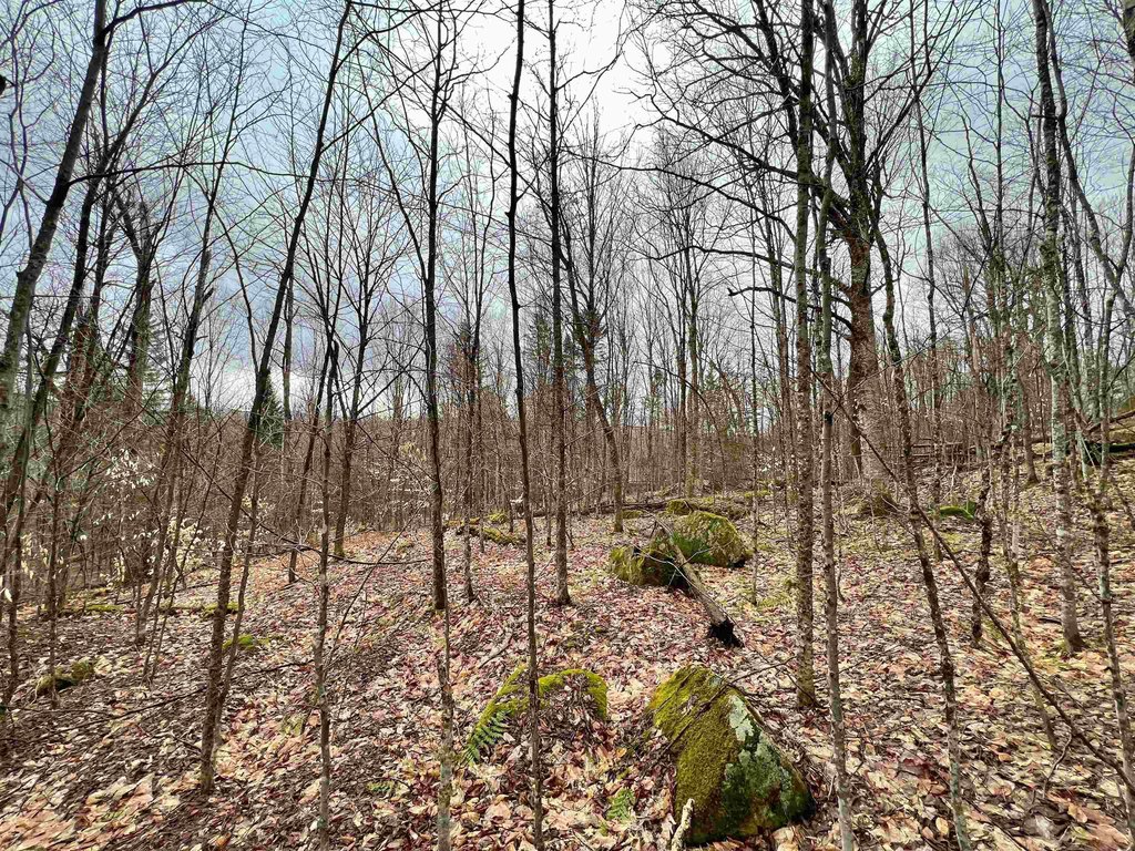
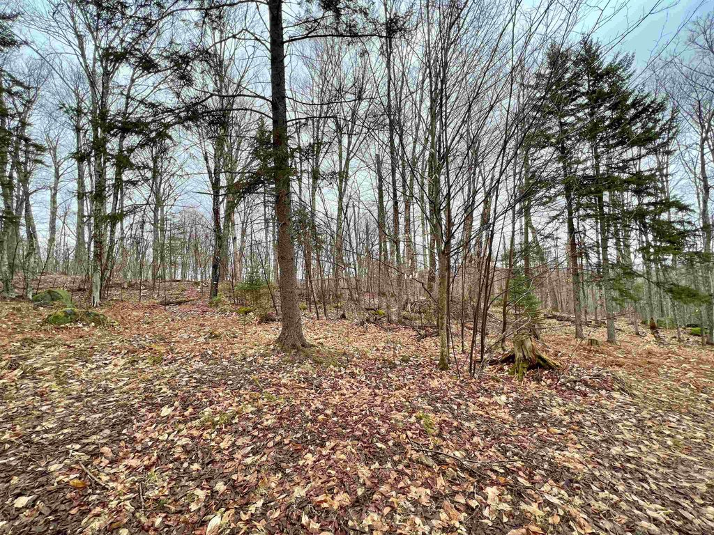
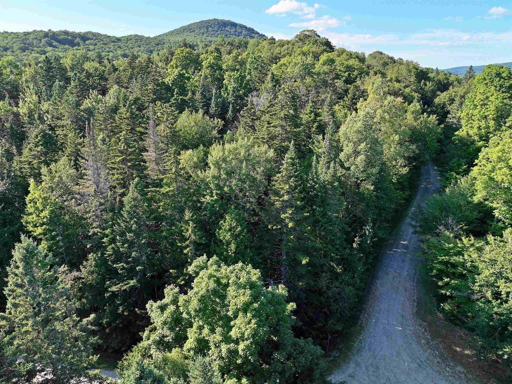
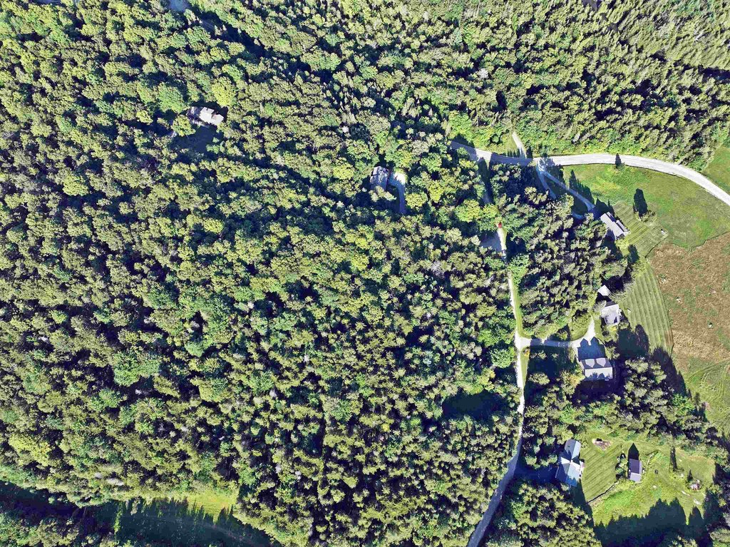
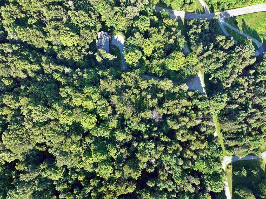
- Lots feature nice northern hardwoods and large boulders that can be incorporated into landscaping
- About 20–25 minutes to Newport and Derby, and near Burke Mountain, Kingdom Trails, Jay Peak, and local hiking/snowshoe areas
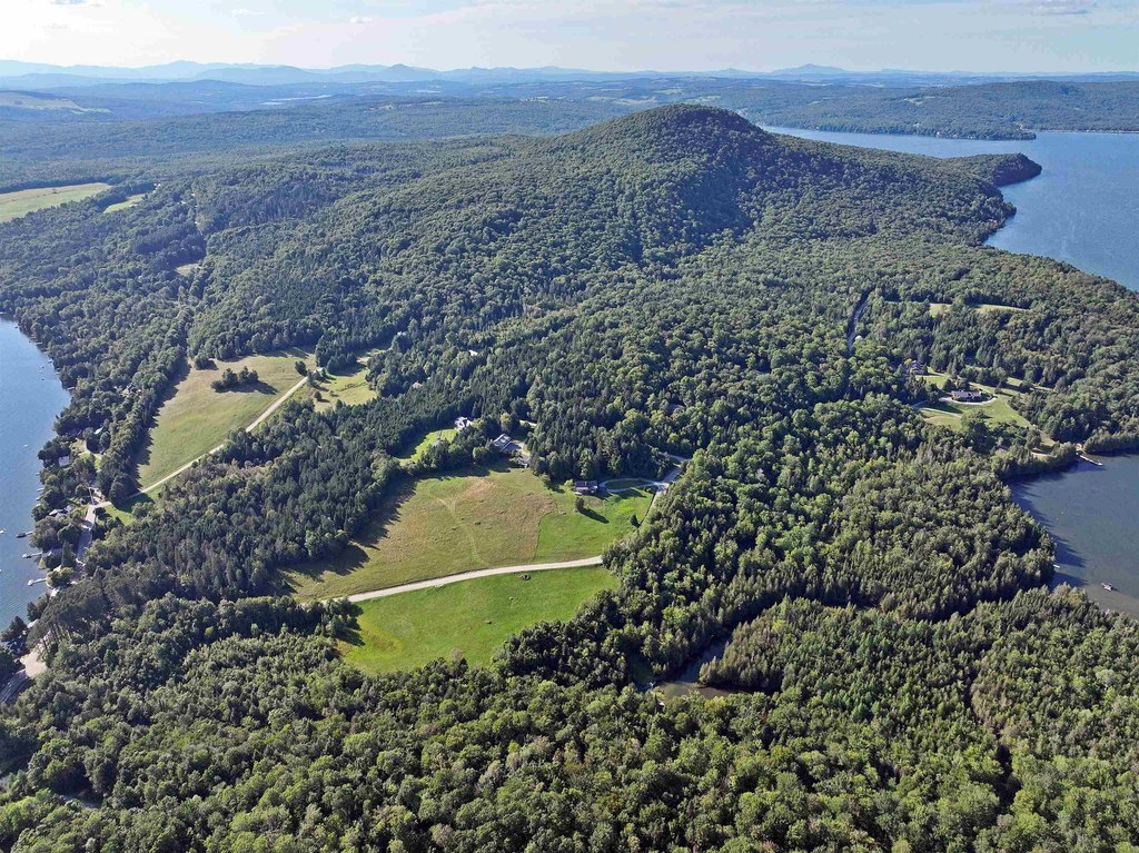
Overview
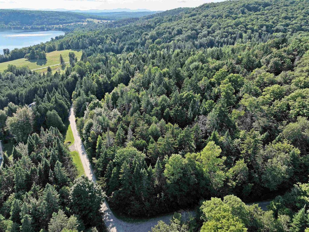
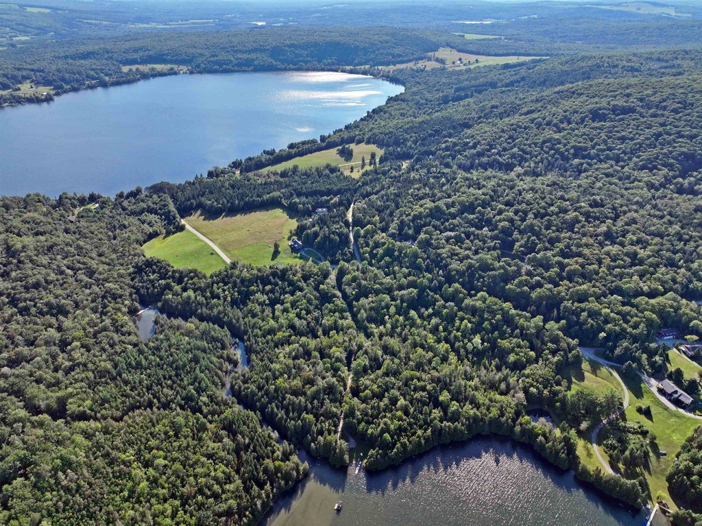
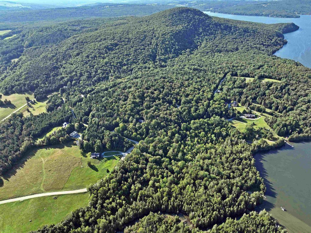
The development setting places the parcels between Seymour Lake and Echo Lake, with deeded waterfront access to Seymour Lake. Lot 15 includes access to a shared drilled well located across the road.
These lots are well suited for buyers seeking privacy and a natural setting while still maintaining deeded lake access. The presence of preliminary soil testing and onsite power and cable can help streamline early project evaluation for a future home site. With the parcels located about 20–25 minutes to Newport and Derby, and within reach of Burke Mountain, Kingdom Trails, Jay Peak, and local hiking and snowshoe areas, the location supports year-round outdoor use alongside lake access.
Current Use by Public Records
Map
- City
- Charleston
- County
- Orleans
- State
- Vermont
- Longitude
- -71.98462064
- Latitude
- 44.86858733


