Residential Building Lot with
Lightening Ridge Road lot 2 Calais, VT 05650


Lightening Ridge Road lot 2, Calais, VT, 05650
$75,000
For Sale
$75,000
LAND - Calais, VT
Lot Size3.16 Acres
Days on Market47
Property Features for Lightening Ridge Road lot 2
General Information
- Property type
- Land
- Property subtype
- Other
- Zoning
- Residential
- Standard status
- Active
- Lot size
- 3.16 Acres
Utilities
- Sewer type
- Septic Needed
Listing agency
BHHS Vermont Realty Group/Montpelier
(802) 223-6302
Listed by
Martha Lange
(802) 658-5555
Added: Jun 5 Updated: Jun 19 at 1:57PM Checked: Jul 21 at 9:06AM
MLS# 5093143
Copyright © 2026 PrimeMLS. All rights reserved. All information provided by the listing agent/broker is deemed reliable but is not guaranteed and should be independently verified.
Investment Insights
Based on property information with market context.
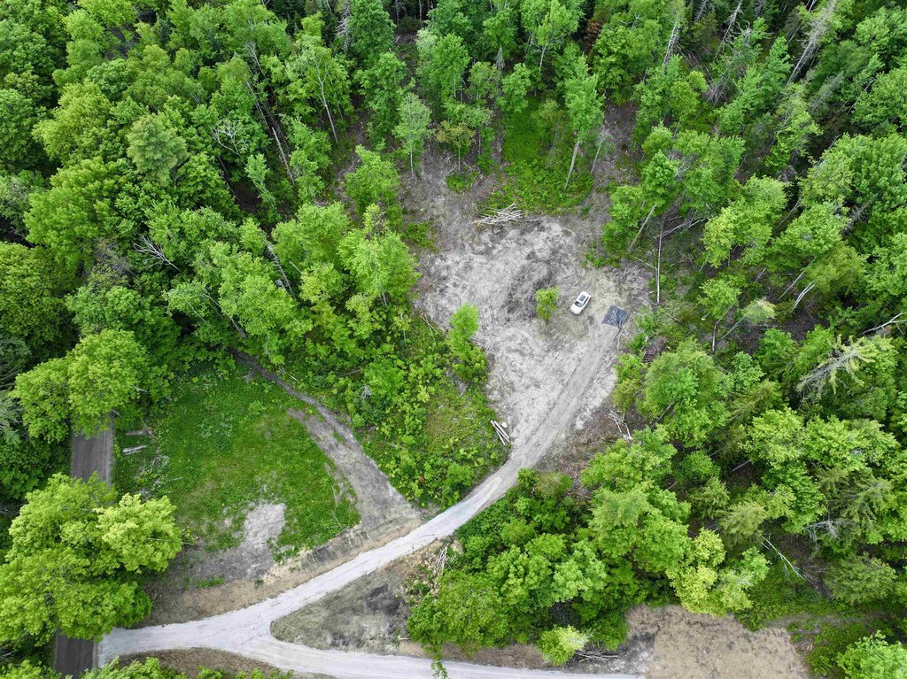
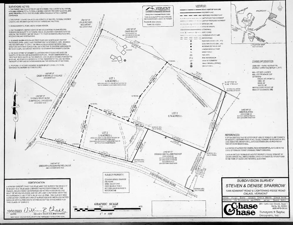
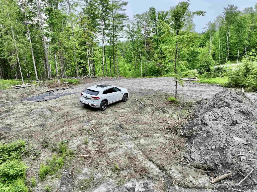
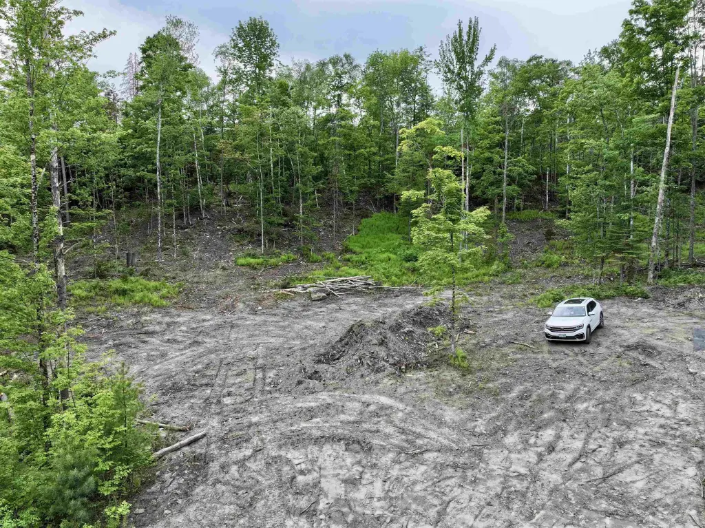
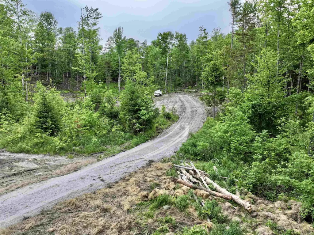
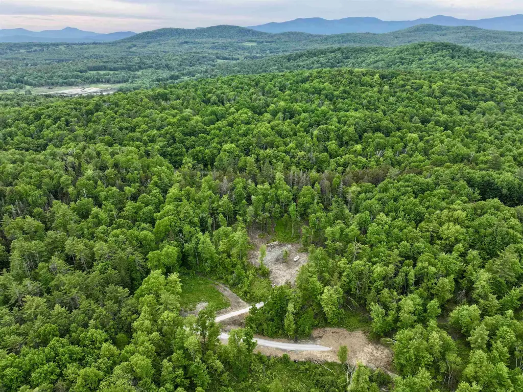
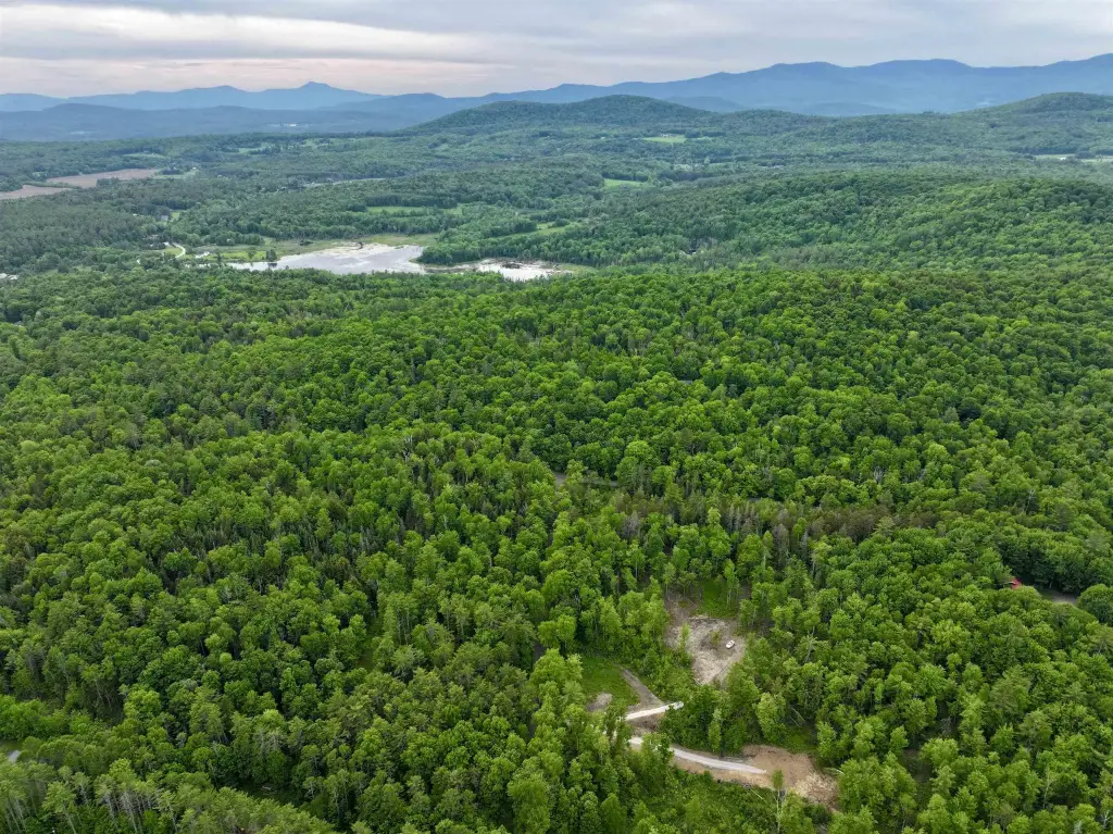
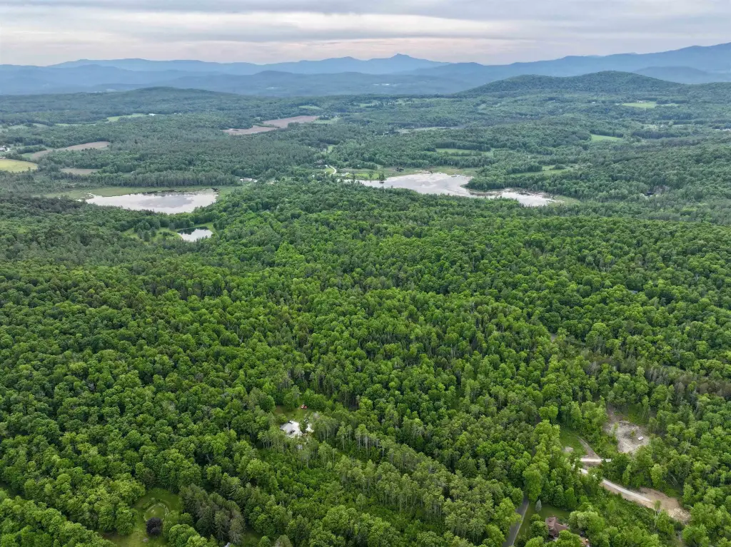
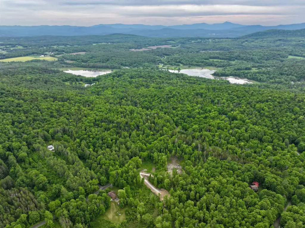
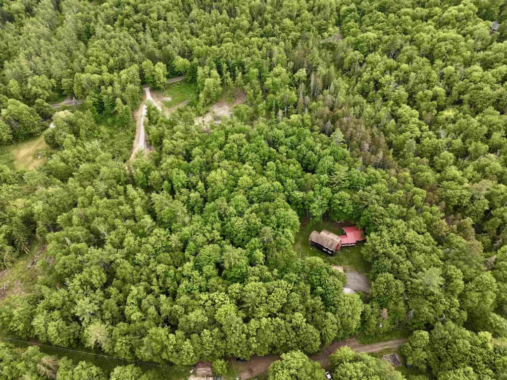
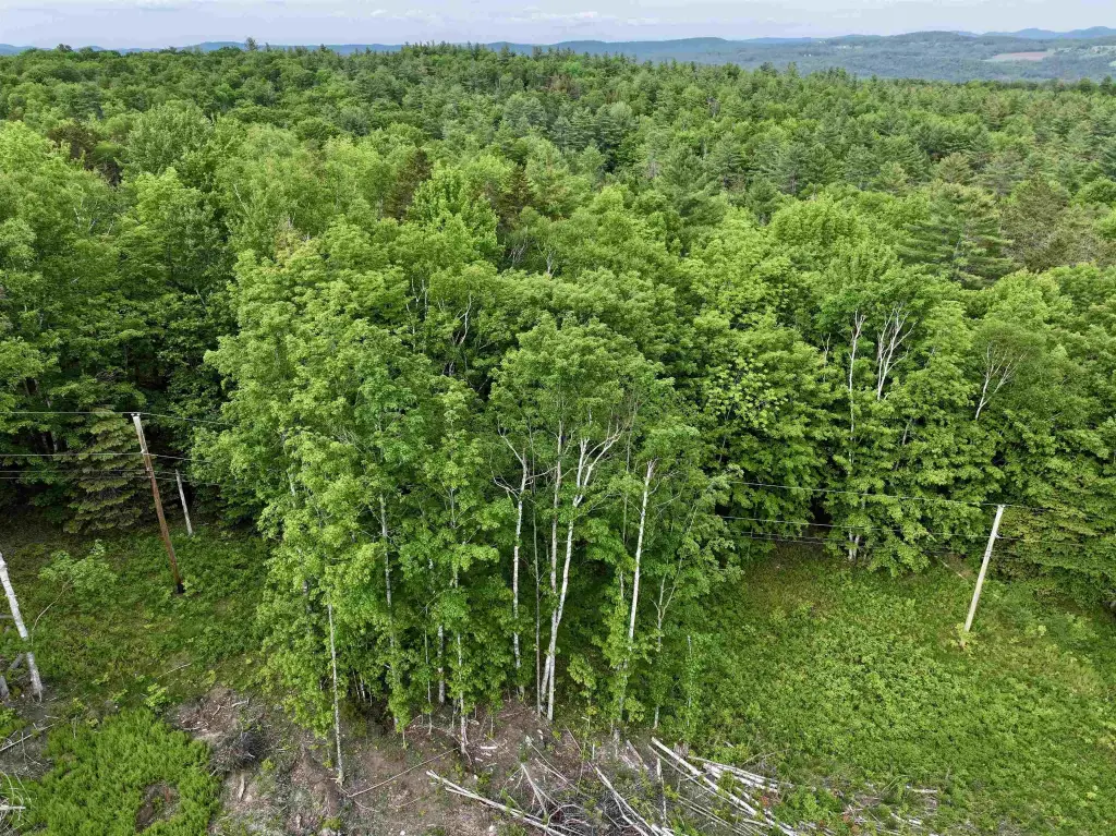
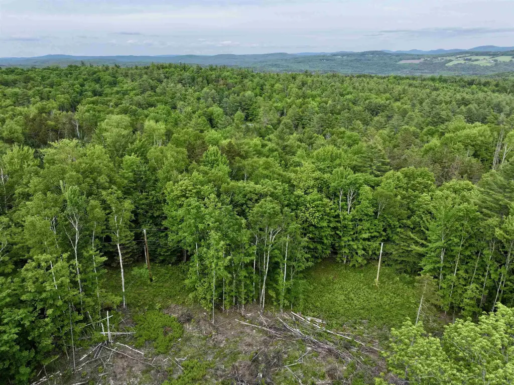
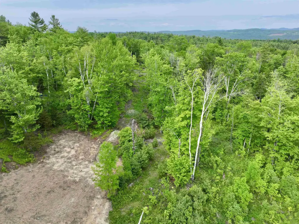
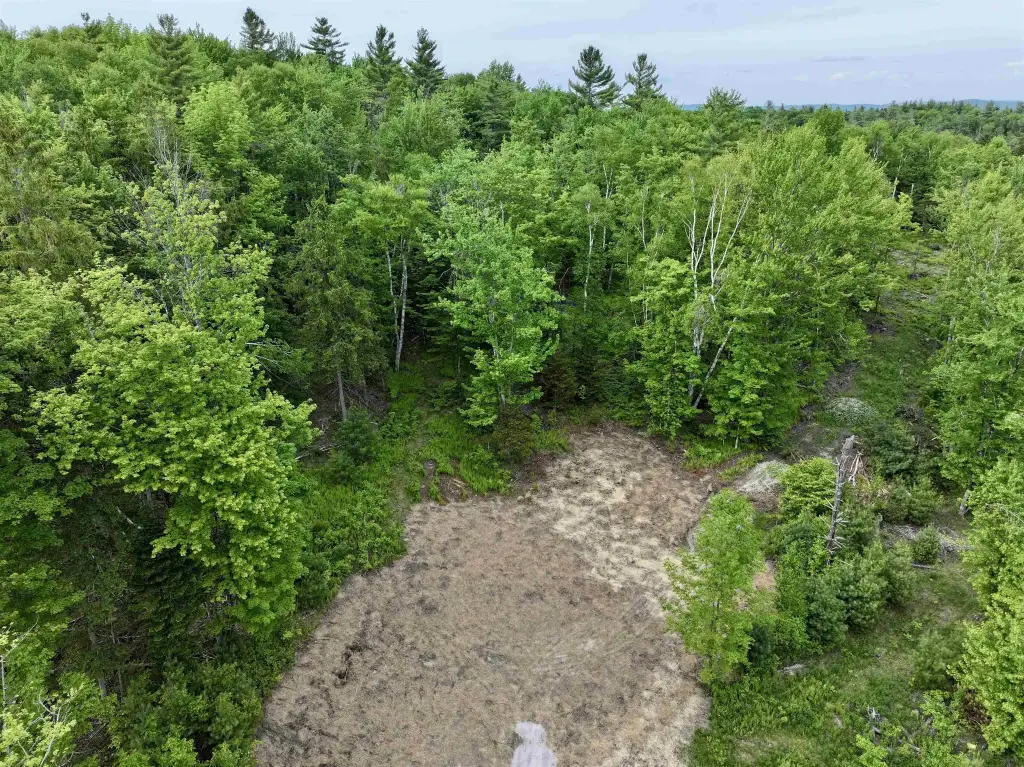
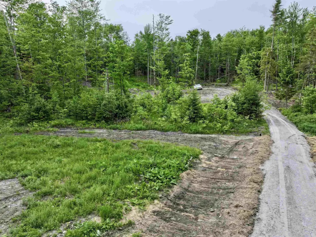
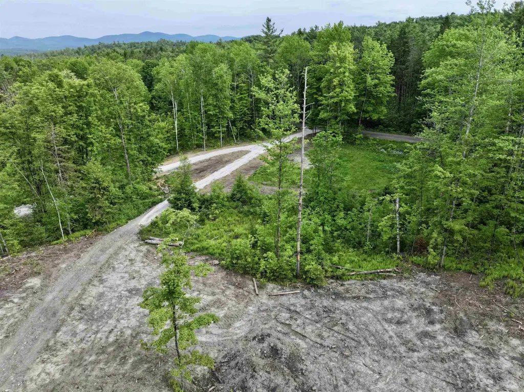
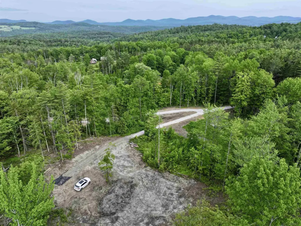
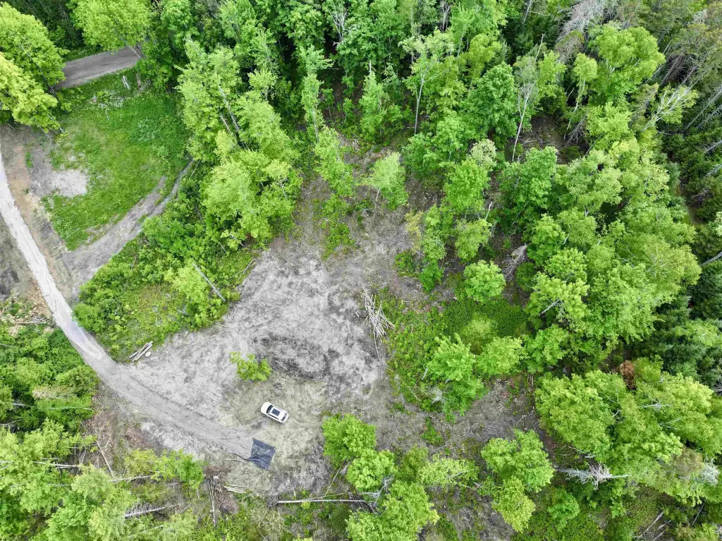
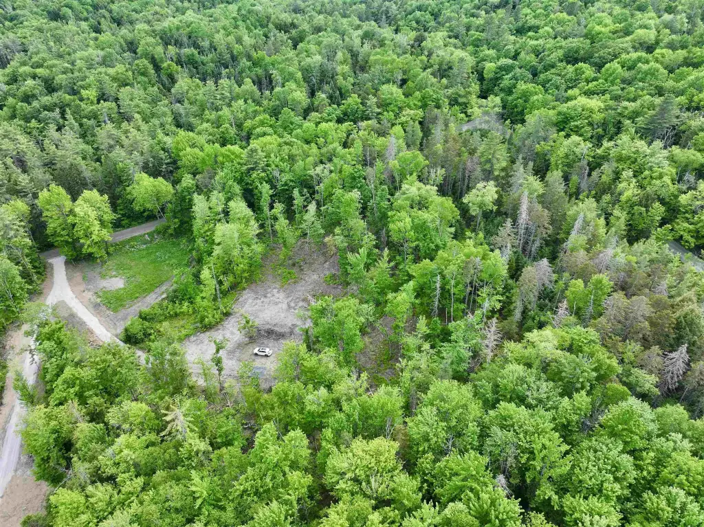
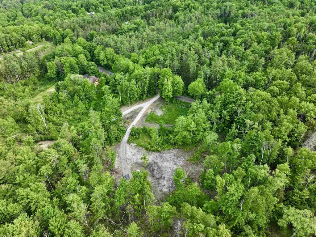
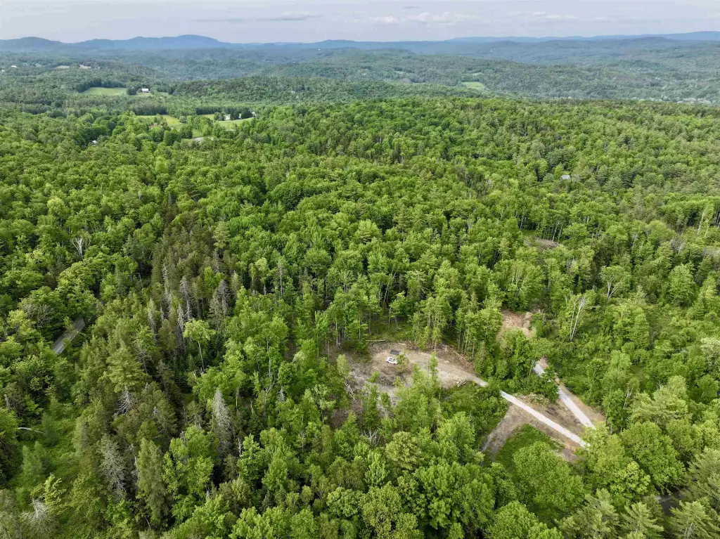
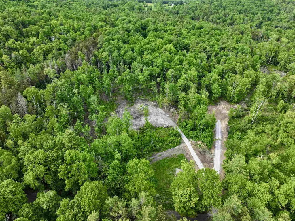
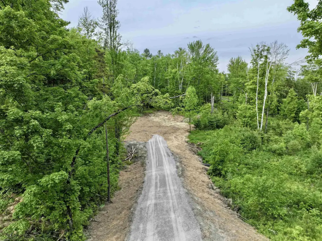
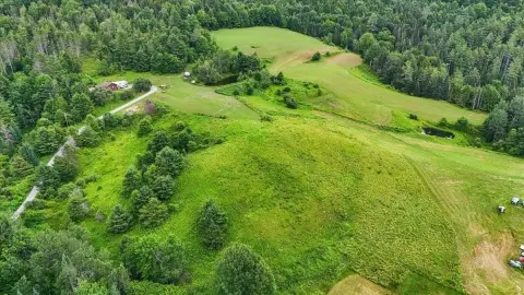
This offering is a ready-to-build residential lot of approximately 3.16 acres, part of a three-lot subdivision on Lightening Ridge Road. The driveway is installed. The property includes a state wastewater permit designed for a 3-bedroom home and a drilled well. Power for this lot is across Lightening Ridge Road and already permitted to cross the road, and fiber TV and internet are available. E-911 addresses are pending. Taxes are listed as TBD.
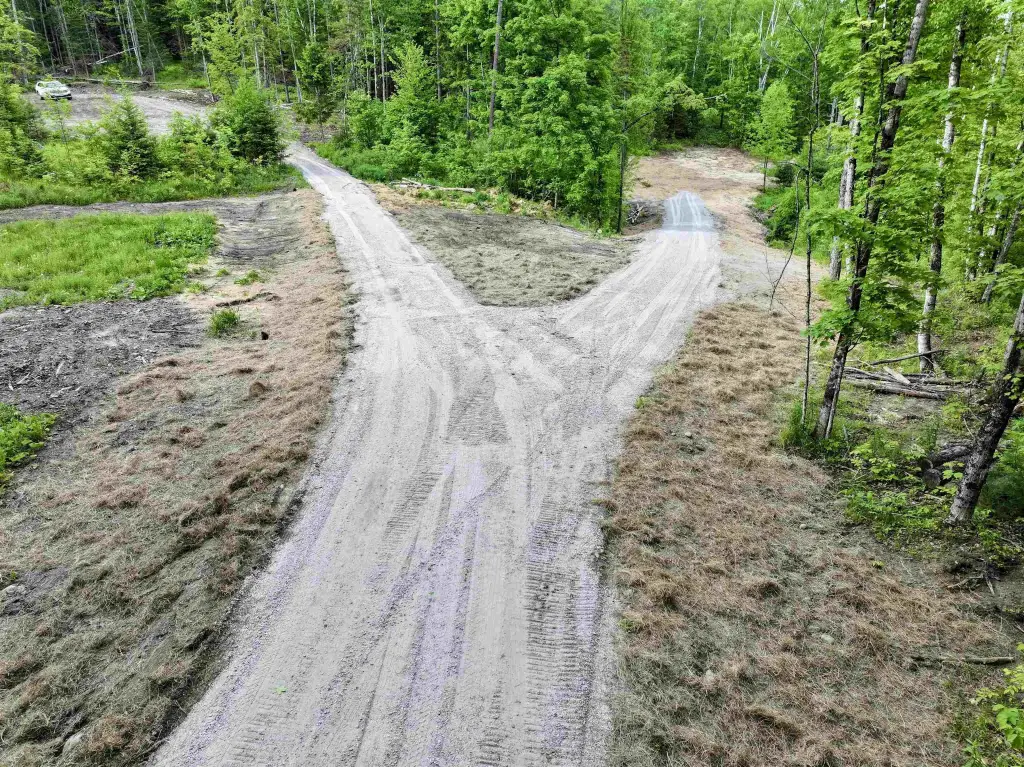
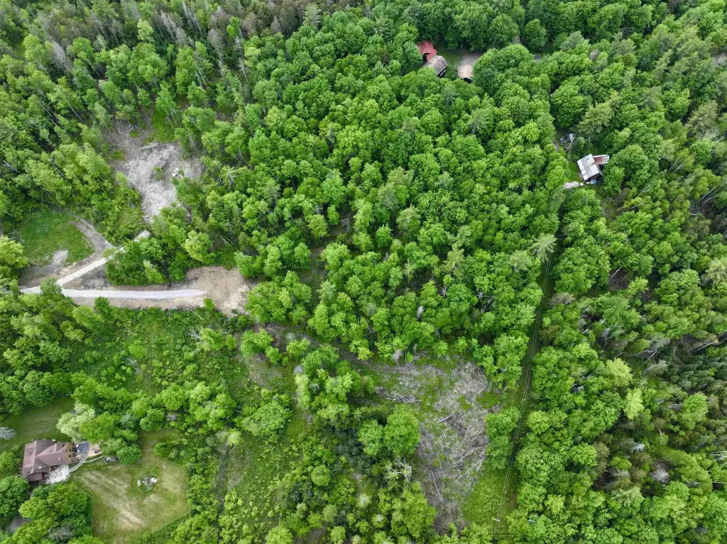
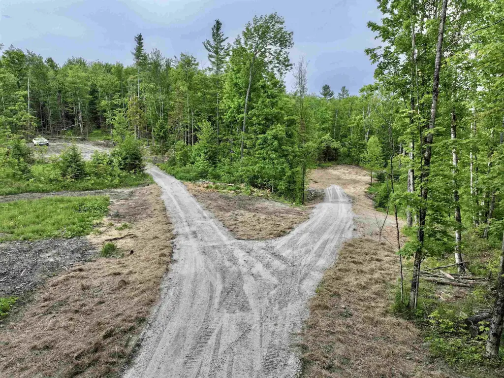
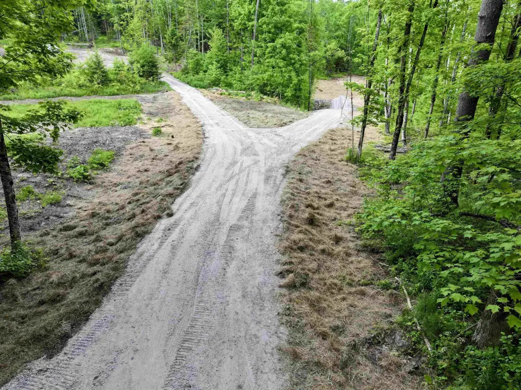
The lot is located near Adamant Village, described as just around the corner from the village’s post office, Sodom Pond, the Adamant Music School, and a food co-op. The subdivision context is also provided, with Lot 2 and Lot 3 sharing a driveway; Lot 2 is up to the left and Lot 3 is down to the right.
For buyers looking to build, the combination of an installed driveway, a 3-bedroom wastewater design, and an existing drilled well supports straightforward residential construction planning. Site notes indicate a garage could be built on the location referenced for Lot 2, and a walkout basement may be needed based on the described grade. Power crossover is already permitted, which can help reduce early utility coordination for the build.
Key Highlights
- 3.16+/- acre building lot in a three‑lot subdivision; house sold and two remaining lots (Lots 2 & 3) offered with a shared driveway
- Driveway installed on the shared driveway for the remaining lots
- State wastewater permit design for a 3‑bedroom home and drilled well for each lot
Property Analytics
Location Intelligence
Current Use by Public Records
Residential land & home ...
Similar For Sale Nearby
FAQs
What type of property is this?
Residential land & home lot - Ready-to-build residential lot with an installed driveway, state wastewater permit for a 3-bedroom home, and drilled well.
Where is this residential land & home lot located?
The property is located at Lightening Ridge Road lot 2 Calais, VT.
What is the asking price?
The asking price for this property is $75,000.
What are key features of this property?
This property features: 3.16+/- acre building lot in a three‑lot subdivision; house sold and two remaining lots (Lots 2 & 3) offered with a shared driveway; Driveway installed on the shared driveway for the remaining lots; State wastewater permit design for a 3‑bedroom home and drilled well for each lot


