Recreational Hunting Land with
Lee Bass Road Pinola, MS 39149
Lee Bass Road, Pinola, MS, 39149
$102,000
For Sale
$102,000
LAND - Pinola, MS
Lot Size51.00 Acres
Days on Market47
Property Features for Lee Bass Road
General Information
- Property type
- Land
- Property subtype
- Other
- Standard status
- Active
- APN
- 1-2217-02-00000-000-01400
- Lot size
- 51.00 Acres
Taxes and HOA fees
- Tax Year
- 2025
- Tax Description
- S1/2 Sw1/4 Sw1/4 Sec 2 10 21 Db 994 9 96 Db 994 88 96, S1/2 Se1/4 Se1/4 Sec 3 10 21 Db 994 21 96
- Tax Annual Amount
- 247
Utilities
- Water front features
- Creek
- Water front
- 1
Listing Agency
Tom Smith Land & Homes
(601) 898-2772
112 Village Blvd., Madison, MS
Listed by
David Belden · License #B24837
(601) 415-3884
Added: Jun 5 Updated: Jul 10 at 8:51 am Checked: Jul 21 at 5:06 am
MLS# 4151738
Listing URL
Copyright © 2026 MLS United. All rights reserved. All information provided by the listing agent/broker is deemed reliable but is not guaranteed and should be independently verified.
Investment Insights
Based on property information with market context.
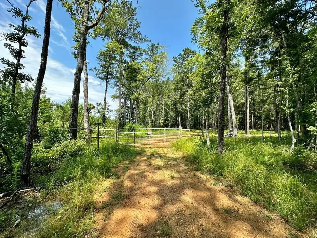
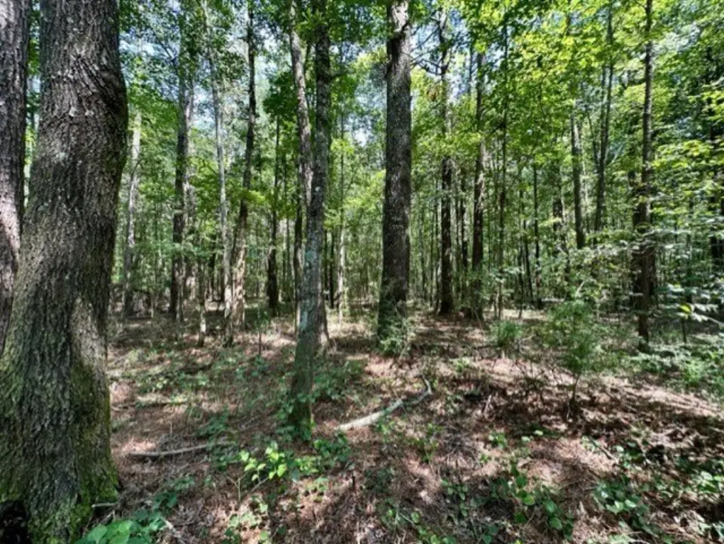
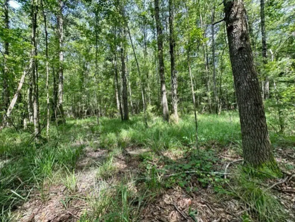
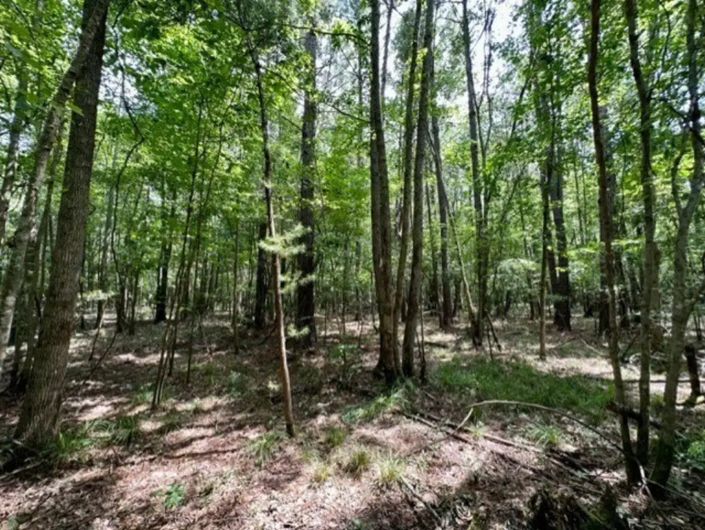
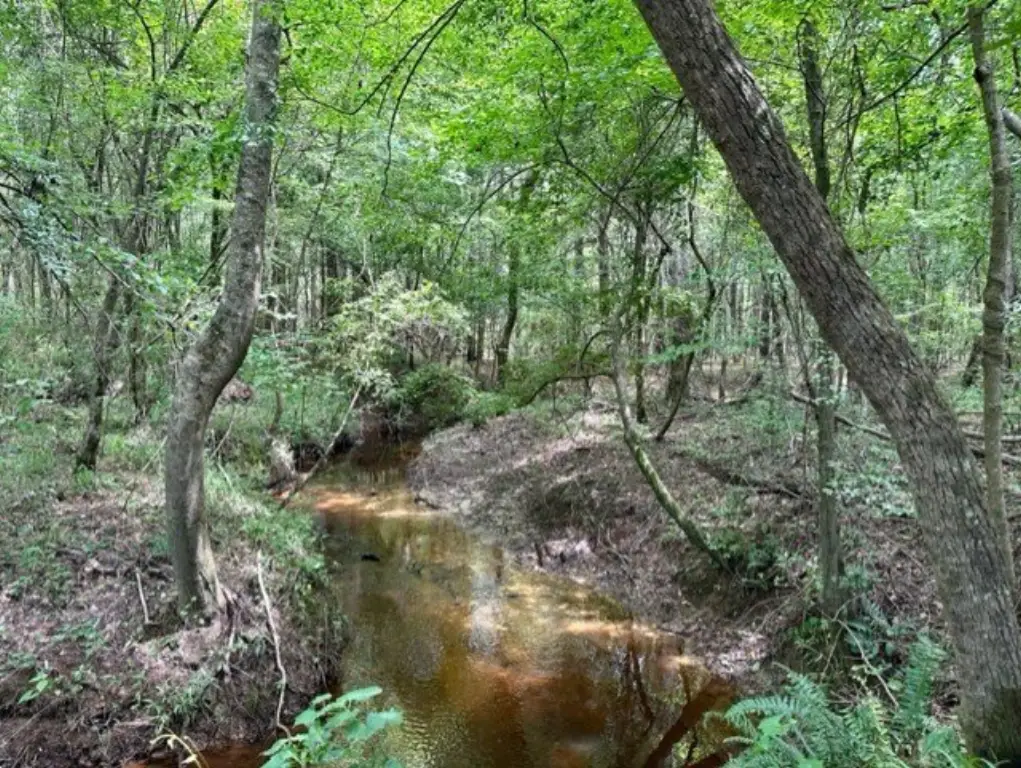
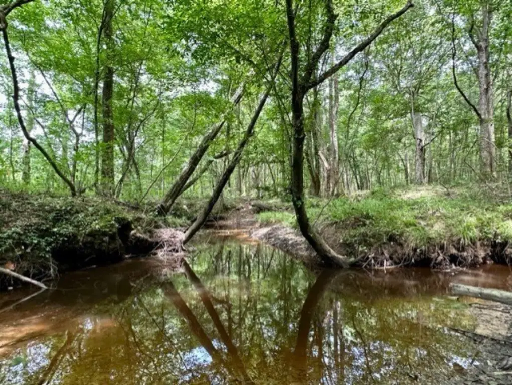
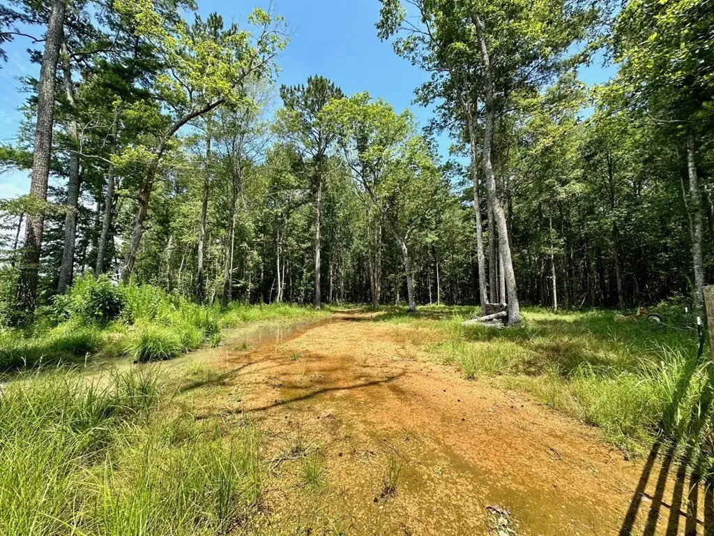
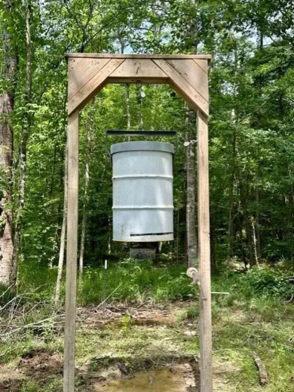
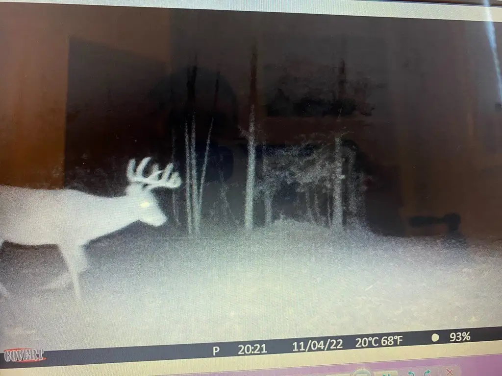
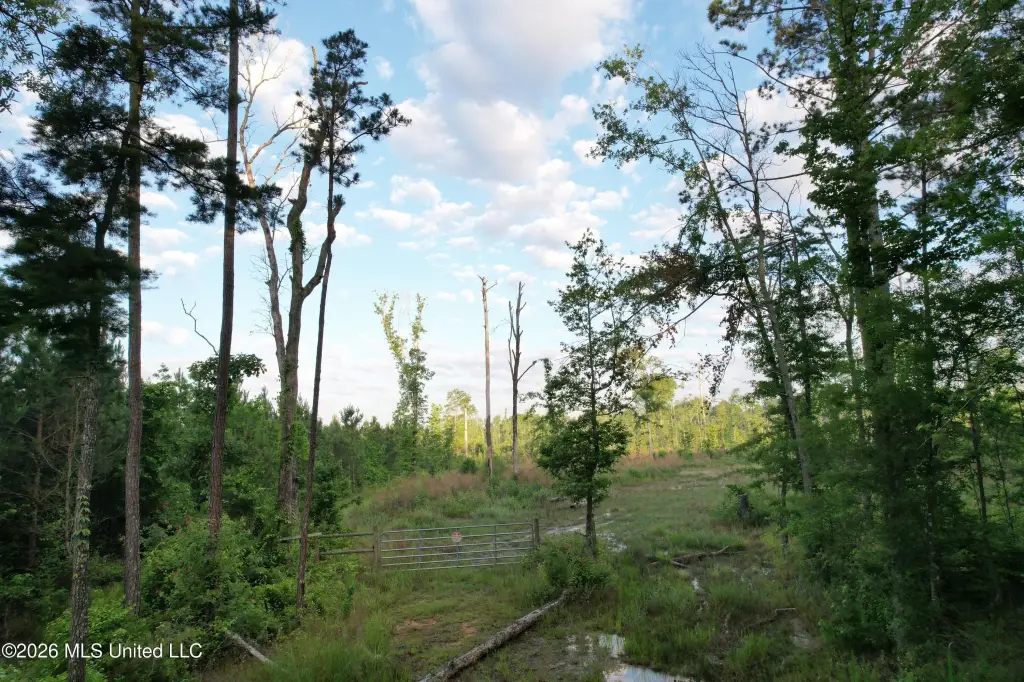
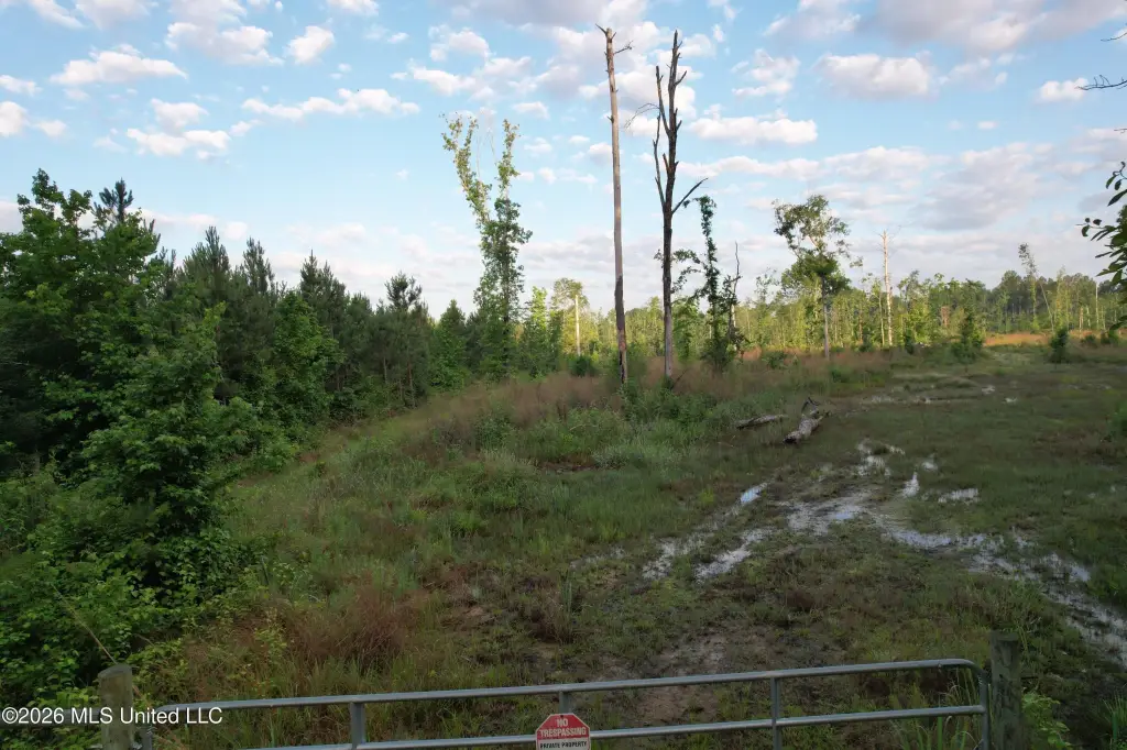
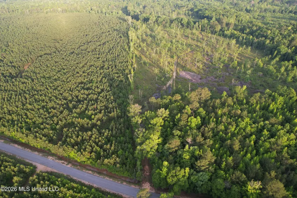
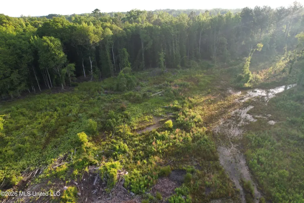
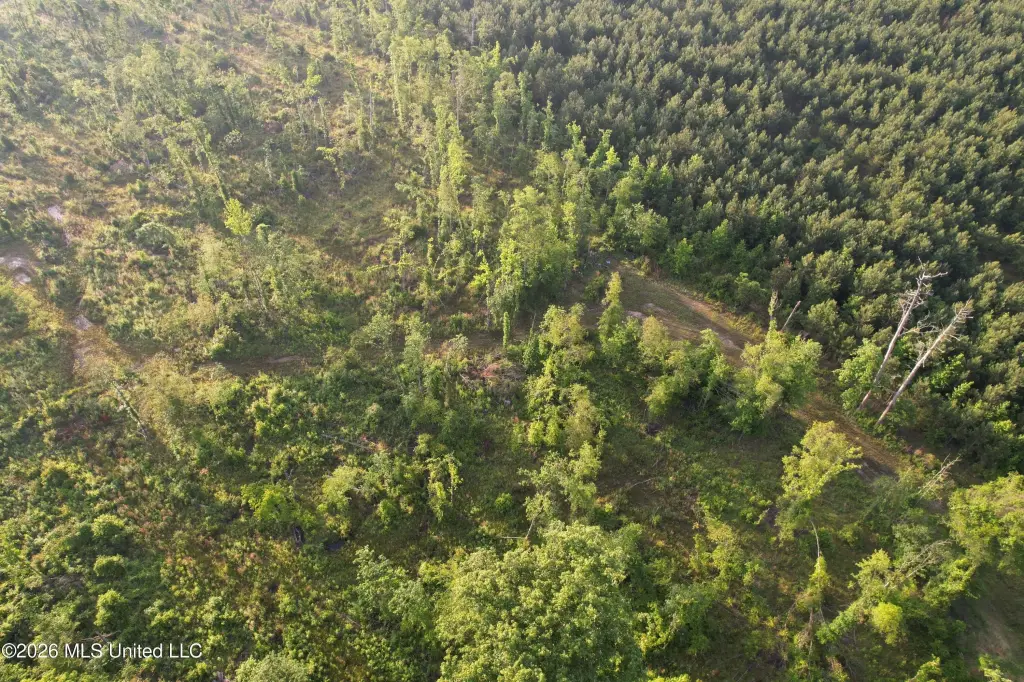
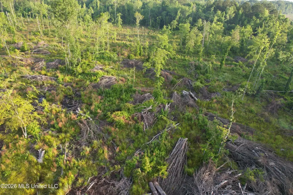
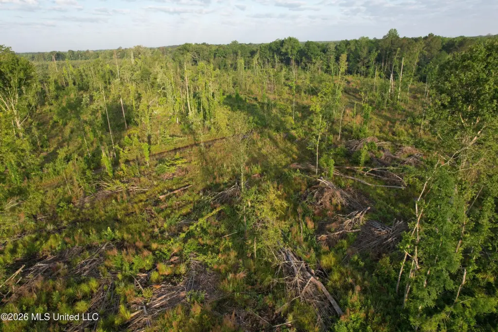
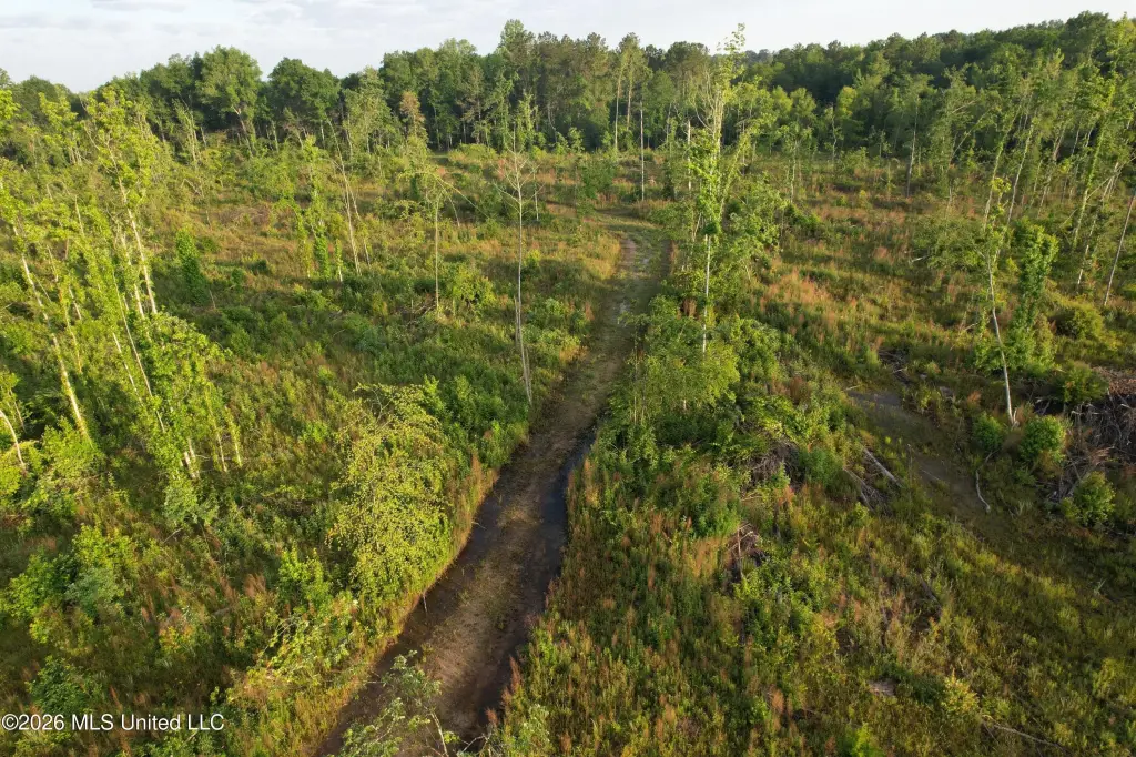
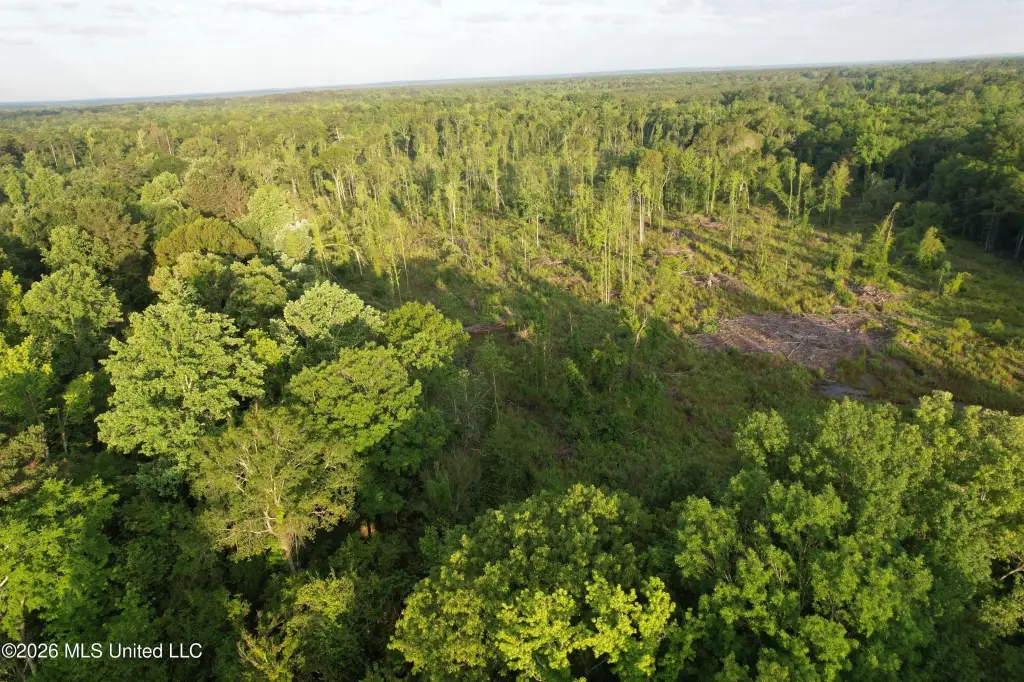
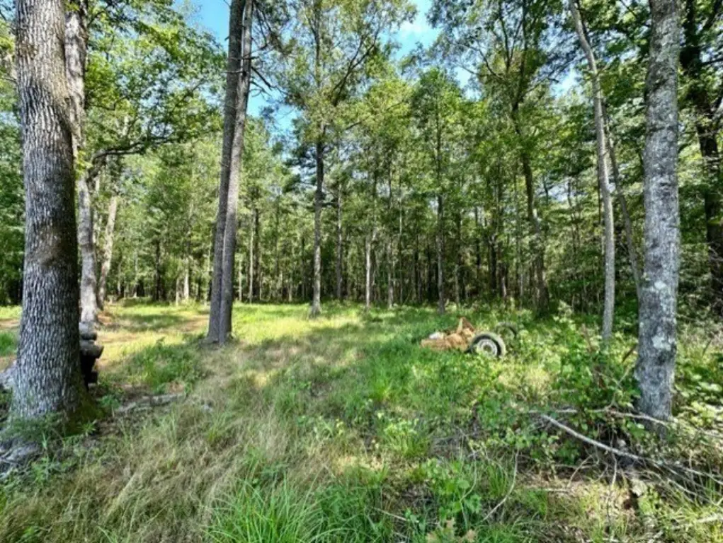
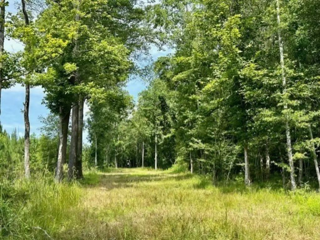
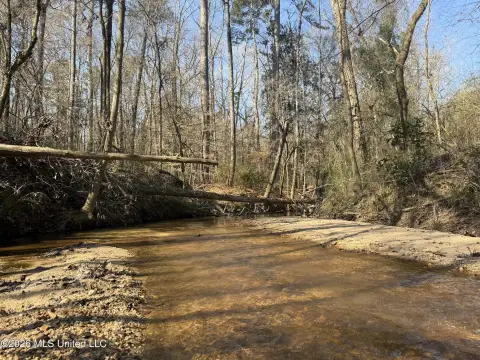
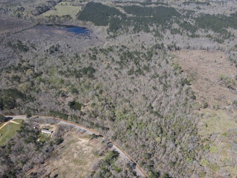
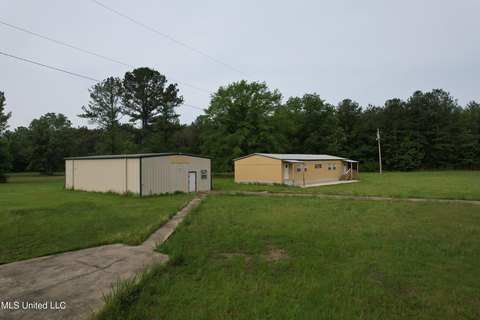
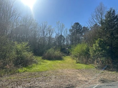
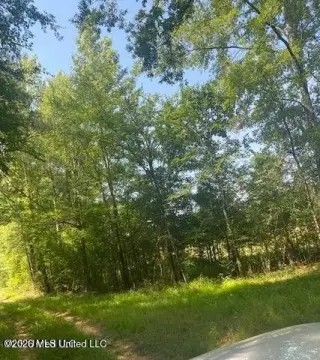
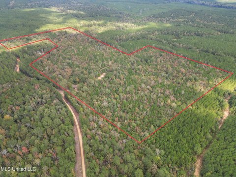
This recreational hunting land offering is presented as a clean-slate 51+/- acre tract, recently harvested and opened for habitat planning. The property includes a small creek that meanders through the land, creating a natural water source and adding natural variation that can support wildlife management. With the timber harvest completed, there is room to shape the landscape for food plots, bedding areas, and hunting setups aligned to an operator’s specific goals. The tract can also accommodate trail development and stand placement, with options for future improvements such as a homesite or hunting camp.
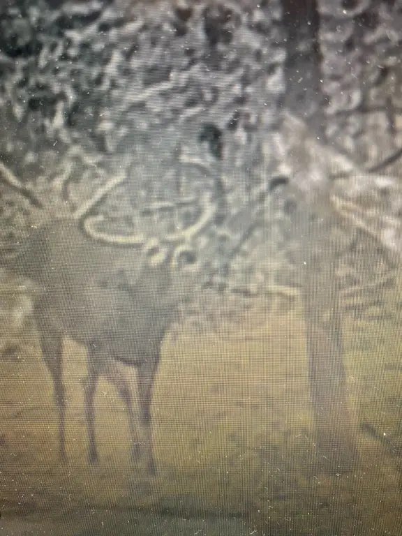
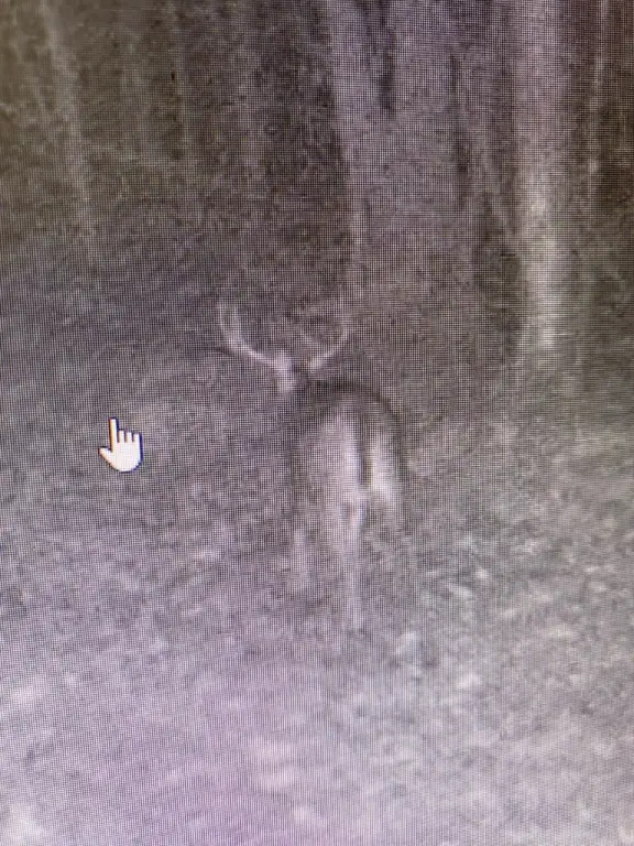
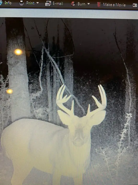
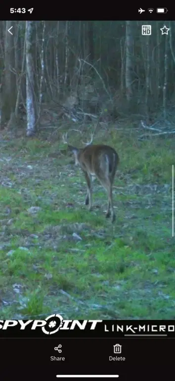
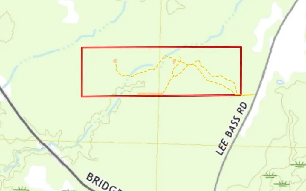
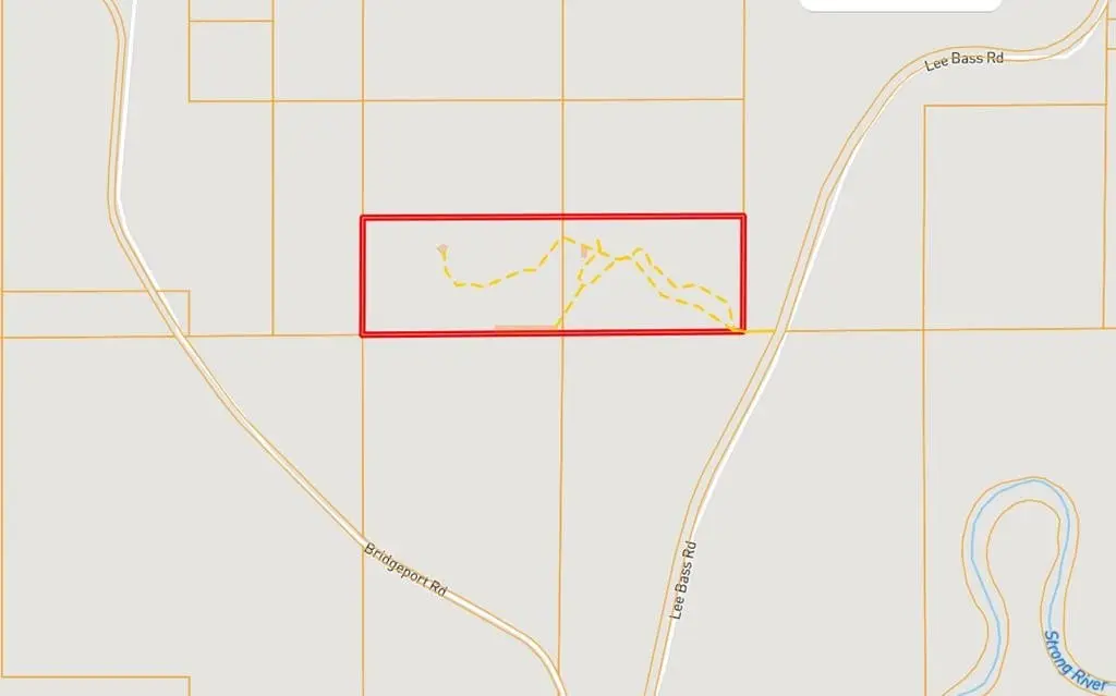
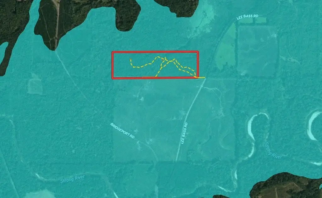
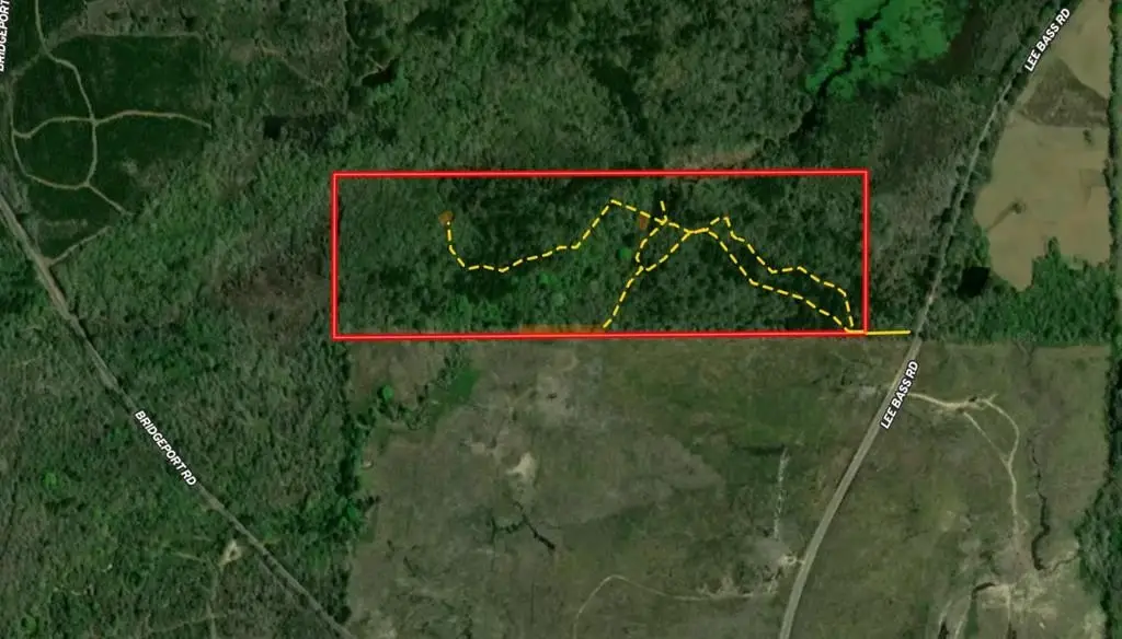
Situated in southwest Simpson County, Mississippi, the property is described as being located between the Strong River and Pearl River. Access is provided through a deeded easement from Lee Bass Road. The surrounding area is described in the remarks as supporting healthy populations of whitetail deer and feral hogs, with river-bottom soils and abundant wildlife habitat contributing to the local conditions.
For tenants, buyers, or investors seeking a recreational property they can actively manage, this tract offers a practical starting point for building a custom hunting program. The combination of recently cleared acreage, a natural water feature, and deeded easement access supports a range of uses focused on food plotting, cover enhancement, and long-term recreation planning.
Key Highlights
- 51+/- acre tract in southwest Simpson County, Mississippi, recently harvested for recreational/hunting use
- Creek runs through the property, providing a natural water source for wildlife
- Located between the Strong River and Pearl River with river‑bottom soils and wildlife habitat features
Property Analytics
Property Profile
Location Intelligence
Current Use by Public Records
Hunting land
Similar For Sale Nearby

FAQs
What type of property is this?
Hunting land - A 51+ acre tract for custom hunting and recreation, featuring a small creek and deeded easement access.
Where is this hunting land located?
The property is located at Lee Bass Road Pinola, MS.
What is the asking price?
The asking price for this property is $102,000.
What are key features of this property?
This property features: 51+/- acre tract in southwest Simpson County, Mississippi, recently harvested for recreational/hunting use; Creek runs through the property, providing a natural water source for wildlife; Located between the Strong River and Pearl River with river‑bottom soils and wildlife habitat features