Agricultural Land with Home


For Sale
Contact for pricing
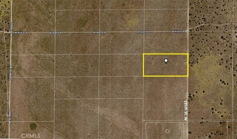
Vic Ave G4 & 127th St E, Lancaster, CA 93535
Land, Lancaster, CA
Property SizeContact for details
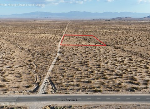
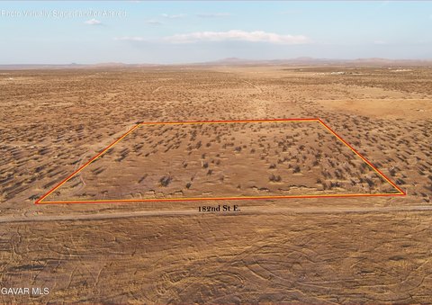
Lot Size5.29 Acres
Days on Market359
Property Features for Vic Ave G4 & 127th St E
General Information
Property type
Land
Property subtype
Other
Zoning
LCA21
Directions
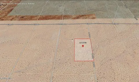
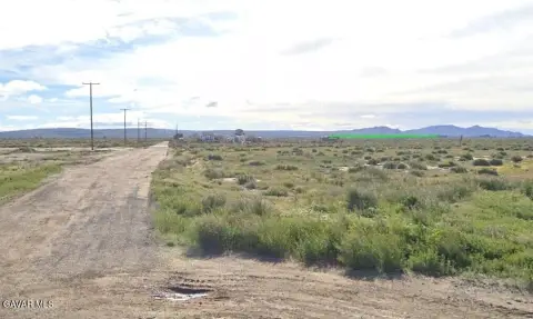
14 FWY/ Ave H-east/ 120th St E-north one mile to Ave G/ go east to 123rd, south a1/4 mile to G4, then east 1/4 mile to the southwest corner of the lot at GPS Lat: 34.73071 Lon:-117.9041
Subdivision
05 - Lanc 90th E to SB
Standard status
Active
APN
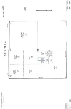
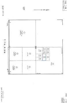
3366-007-026
Lot size
5.29 Acres
Utilities
Sewer type
None
Listing Agency:
Century 21 Doug Anderson · Century 21 Real Estate
(661) 945-4521
Listed By:
Kirk Swirczynski · License #01280425
(661) 810-2165
Added: Oct 28, 2025
Changed: Sep 2
Last Checked: Oct 21 at 10:06PM
MLS# 25008325
Copyright © 2026 Greater Antelope Valley Association of Realtors. All rights reserved. All information provided by the listing agent/broker is deemed reliable but is not guaranteed and should be independently verified.

Ask AI about this property
Review the available facts, identify missing information and prepare questions for the agent.
Investment Insights
Based on property information with market context.
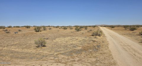
This Lancaster, California property comprises 5.29 acres of agricultural land. The parcel is described for agricultural activities, animal use, and a home, offering a rural land configuration with multiple stated use possibilities. Sewer service is listed as none.
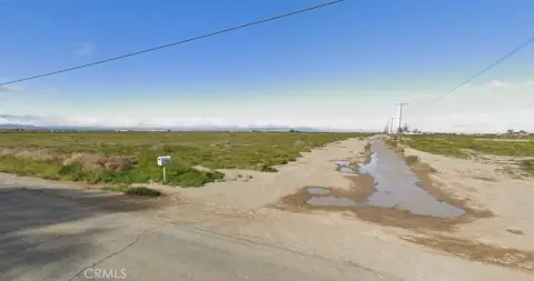
The property is near paved 120th t E, identified as a road leading toward Edwards Air Force Base. The deed includes 32 foot road easements along the east and south borders, providing documented access corridors associated with the parcel. The property is identified by APN 3366-007-026 and is located near Vic Ave G4 & 127th St E.
The property is near paved 120th t E, identified as a road leading toward Edwards Air Force Base. The deed includes 32 foot road easements along the east and south borders, providing documented access corridors associated with the parcel. The property is identified by APN 3366-007-026 and is located near Vic Ave G4 & 127th St E.
Key Highlights
- 5.29‑acre agricultural land parcel
- Described for agriculture, animals, and a home
- Near paved 120th t E, a road toward Edwards Air Force Base
Property Analytics
Unlock full access to Insights
Subscribe to Realmo Intelligence
Open Analytics
Location Intelligence
Trade Area within ½ mile
2
Businesses Nearby
Explore this area
Business Placement
Demographics for 93535, CA
82,149
Population
23,917
Households
3.4
Avg Household Size
31
Median Age
14%
College-Educated
78%
High-School Grad
239.0 sq mi
ZIP Area
344
Density / Sq Mi
$65,989
Median Household Income
$41,834
Median Earnings
$1,650
Median Rent
$336,200
Median Home Value
Check the figures for this property
Cap Rate, Value Estimation, Potential NOI and more
View Realmo Analytics



Frequently Asked Questions
What type of property is this?
Agricultural land / Farmland - Agricultural acreage with animal use and residential potential near a paved route toward Edwards Air Force Base.
Where is this agricultural land / farmland located?
The property is located at Vic Ave G4 & 127th St E Lancaster, CA.
What are key features of this property?
This property features: 5.29‑acre agricultural land parcel; Described for agriculture, animals, and a home; Near paved 120th t E, a road toward Edwards Air Force Base