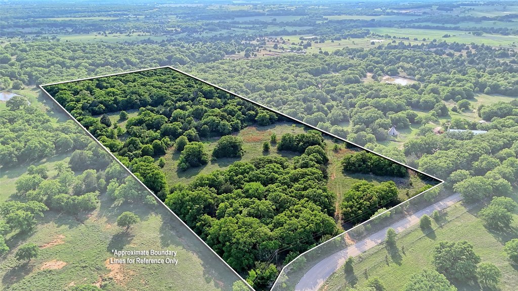
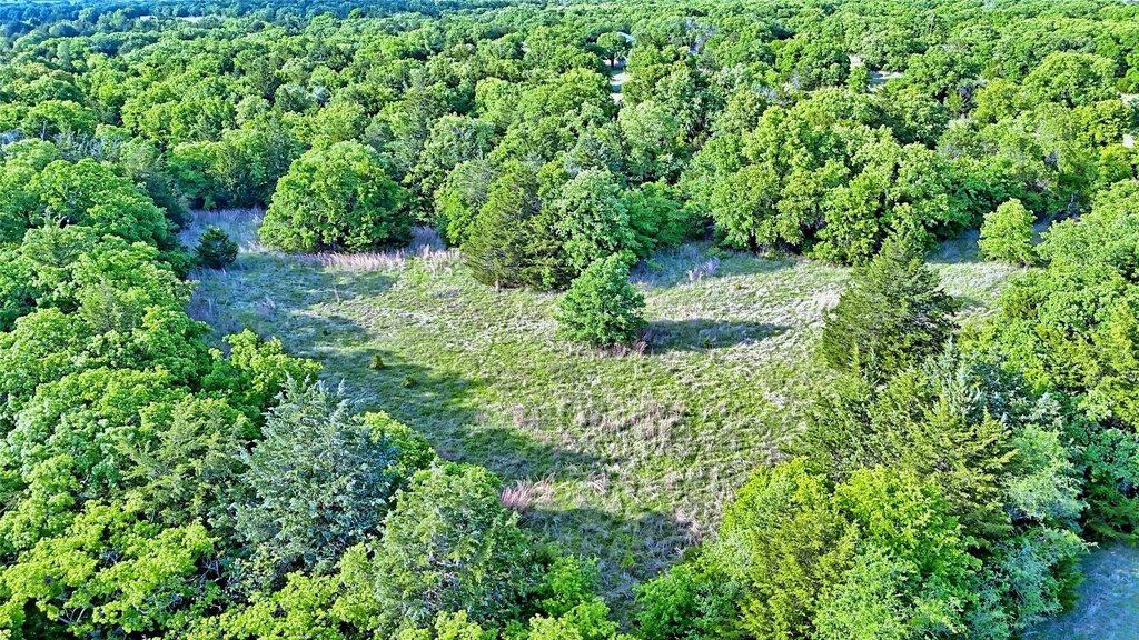
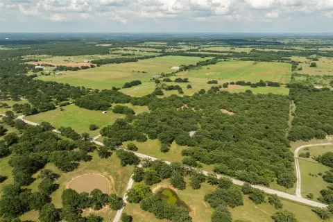
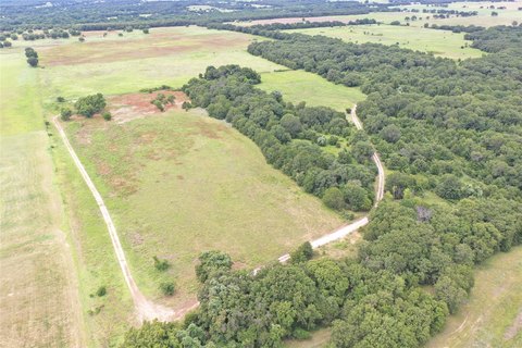
Fenced Three-Side Farmland
Lake Valley Rd Sunset, TX 76260
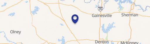
Lake Valley Rd, Sunset, TX, 76260
$264,000
For Sale
$264,000
LAND - Sunset, TX
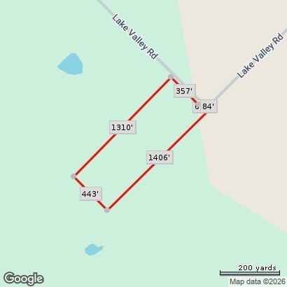
Lot Size13.34 Acres
Days on Market26
Property Features for Lake Valley Rd
General Information
- Property type
- Land
- Property subtype
- Other
- Standard status
- Active
- APN
- R000014447
- Lot size
- 13.34 Acres
Taxes and HOA fees
- Tax Description
- ACRES: 13.340 AB 940 BLK 48 BELL CSL LAKE VAL
- Tax Annual Amount
- 4
Listing agency
RE/MAX Premier
(972) 991-1616
Listed by
Ashlee Luna · License #0612856
(972) 991-1616
Added: Jun 27 Updated: Jul 22 at 7:46PM Checked: Jul 22 at 9:06PM
MLS# 21223044
Copyright © 2026 North Texas Real Estate Information Systems, Inc. All rights reserved. All information provided by the listing agent/broker is deemed reliable but is not guaranteed and should be independently verified.
Investment Insights
Based on property information with market context.
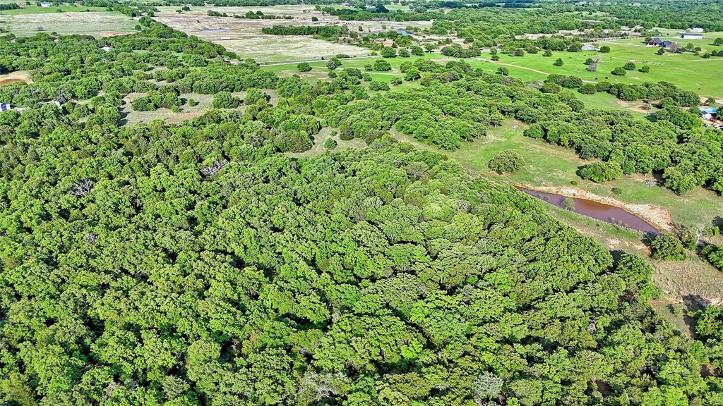
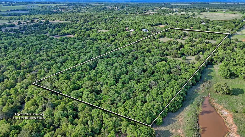
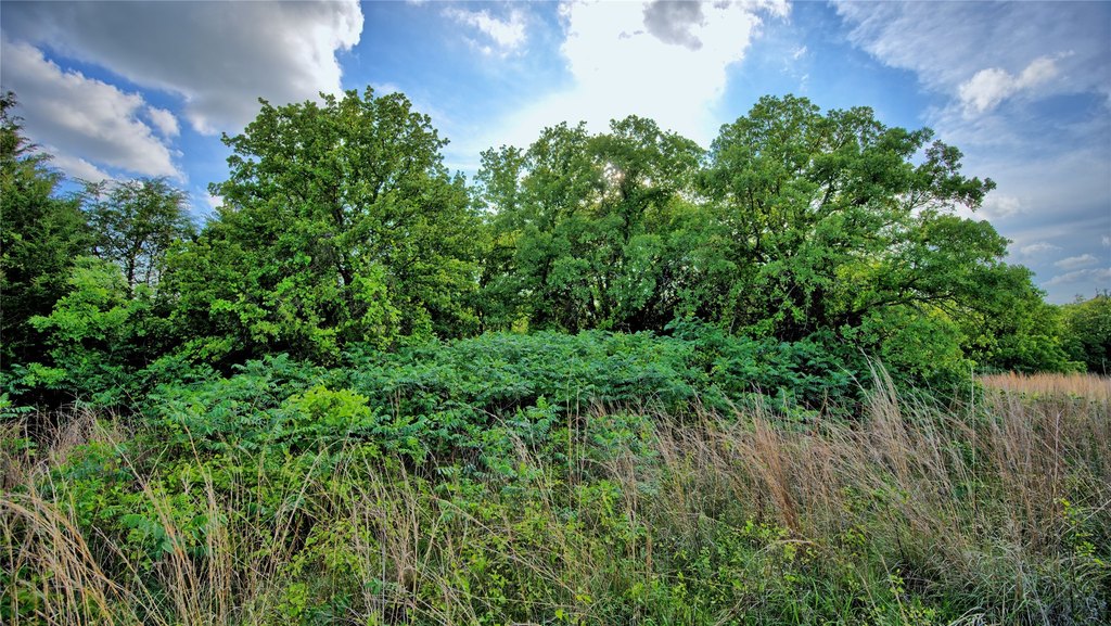
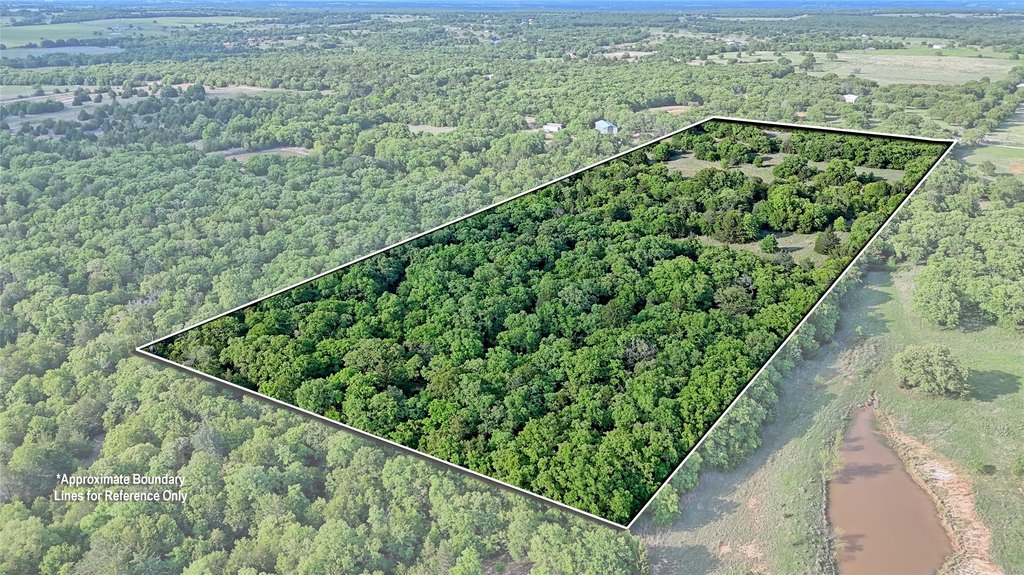
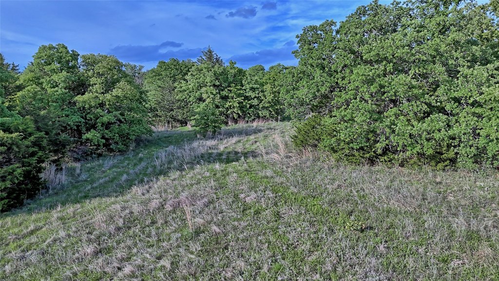
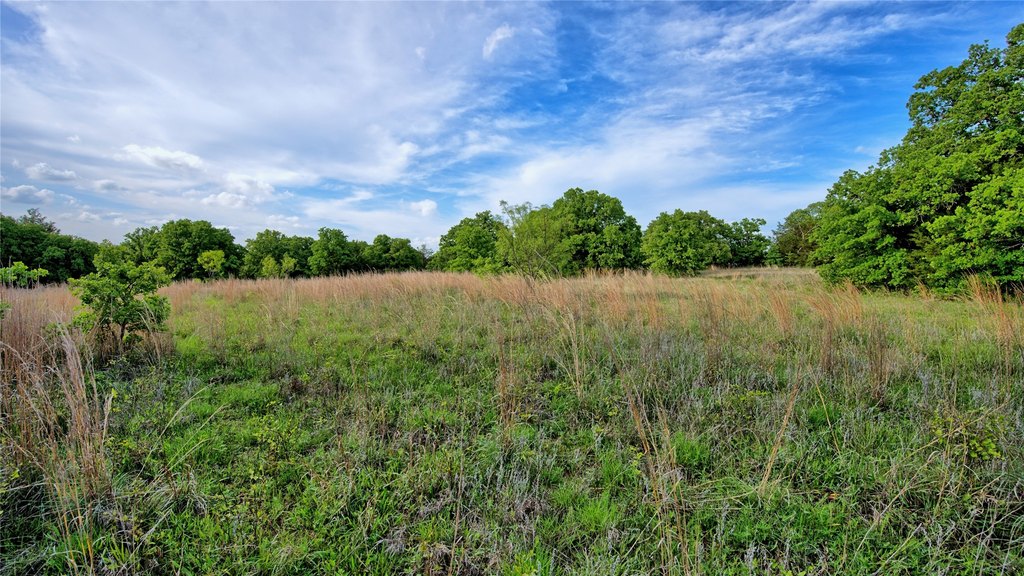
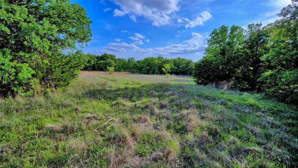
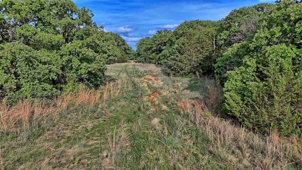
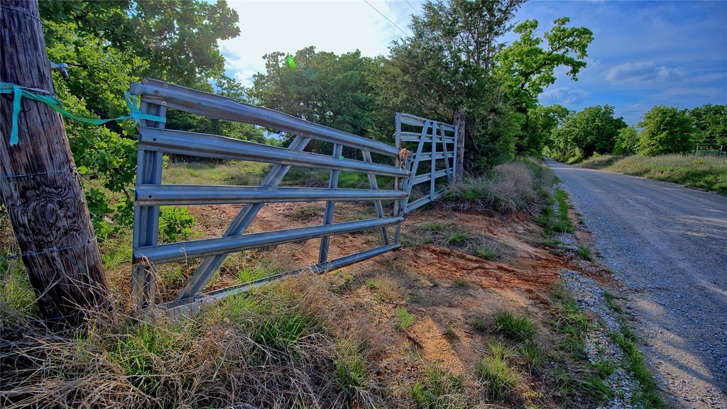
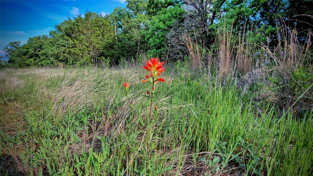
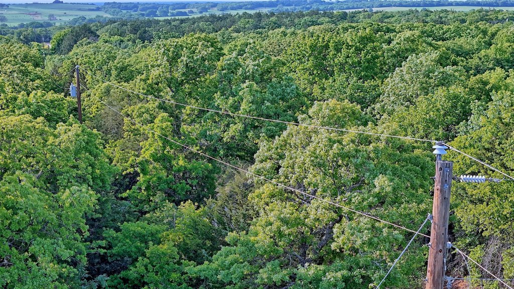
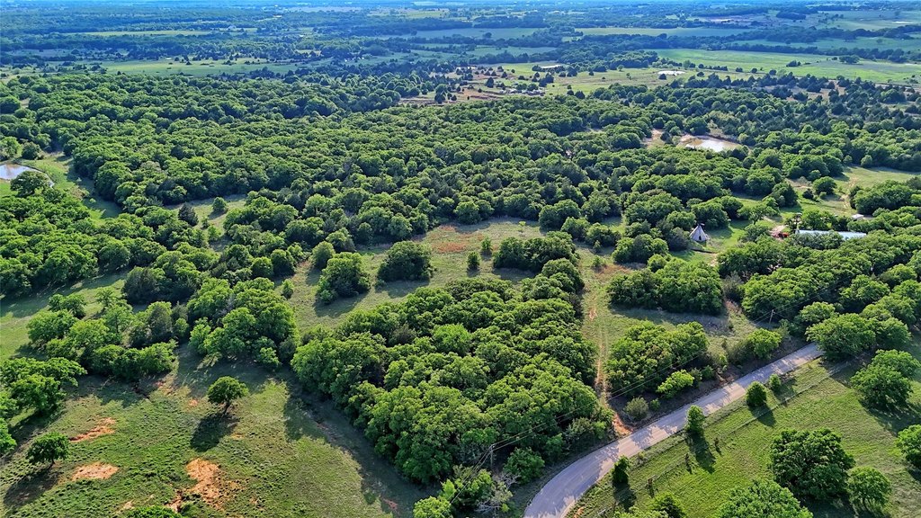
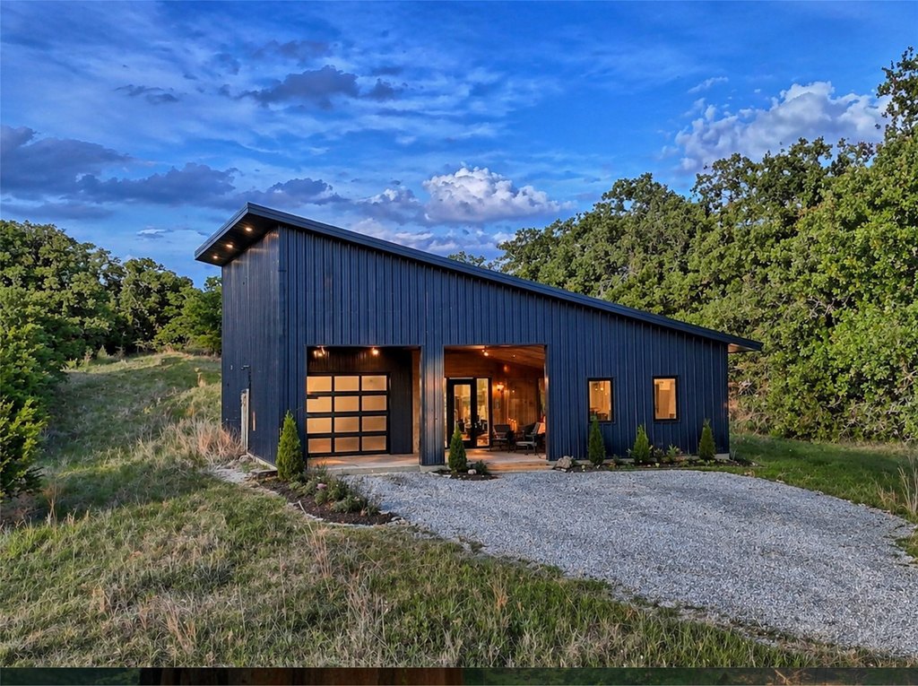
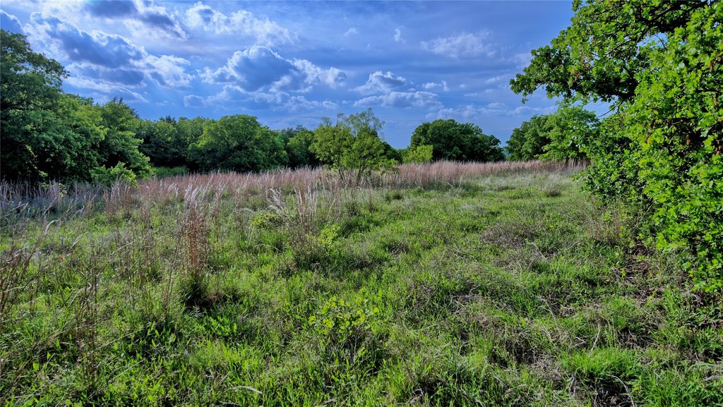
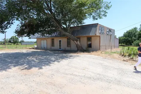
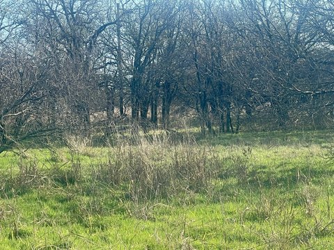
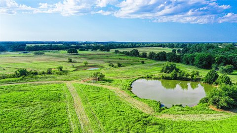
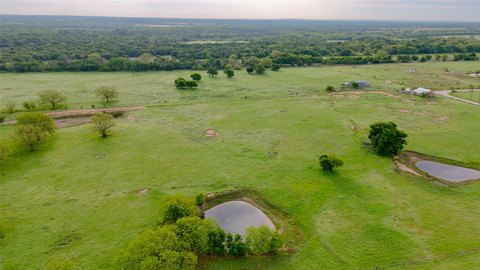
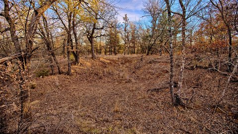
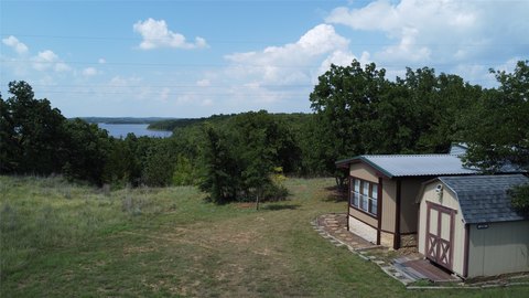
This undeveloped 13.34-acre property is offered outside city limits with a current wildlife exemption in place. The tract is fenced on three sides and includes a gate. Light restrictions are noted, and the seller states the land can accommodate barndominiums, metal homes, custom residences, or a retreat.
The property is located on Lake Valley Rd in Sunset, TX 76260 (Montague County). The listing notes estimated property taxes of $20 per year with current agriculture exemptions, and buyers are responsible to recertify and verify all information.
The remarks indicate the land is suitable for homestead residential or farm and ranch use, including horses, cattle, wildlife, and agricultural purposes. There is no RV park and no mobile home allowed. A survey is provided, and the property excludes game feeders, game cameras, and water troughs.
Key Highlights
- 13.34‑acre undeveloped property located outside city limits in Sunset, TX
- Fenced on 3 sides with a gate
- Current wildlife exemption in place; estimated $20/year property taxes with agriculture exemptions (buyer recertification required)
Property Analytics
Property Profile
Location Intelligence
Current Use by Public Records
Residential land & home ...
Similar For Sale Nearby


FAQs
What type of property is this?
Agricultural land / Farmland - Undeveloped 13.34-acre tract outside city limits, fenced on three sides with a gate and wildlife exemption in place.
Where is this agricultural land / farmland located?
The property is located at Lake Valley Rd Sunset, TX.
What is the asking price?
The asking price for this property is $264,000.
What are key features of this property?
This property features: 13.34‑acre undeveloped property located outside city limits in Sunset, TX; Fenced on 3 sides with a gate; Current wildlife exemption in place; estimated $20/year property taxes with agriculture exemptions (buyer recertification required)