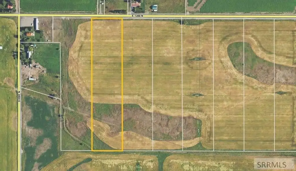
L3 B1 E 1300 N, Ashton, ID 83420


- Added:
- Jul 1, 2026
- Days on Market:
- 2
- Last Refresh:
- Jul 2 at 7:06 am
Property Features for L3 B1 E 1300 N
General Information
- Property type
- Land
- Property subtype
- Other
- Standard status
- Active
- APN
- RP006010010020
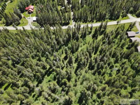
- Lot size
- 7.92 Acres
Taxes and HOA fees
- Tax Year
- 2025
- Tax Description
- TROUT TRAILS DIV NO 1 LOT 3 BLK 1 SEC 35 TWP 9 RGE 42
- Tax Annual Amount
- 18

Listing agent Ryan Lerwill License #SP25087 (208) 529-8888
Listing office Keller Williams Realty East Idaho 3525 Merlin Drive, Idaho Falls, ID (208) 529-8888
Listing date Jul 1, 2026
Copyright © 2026 Snake River Regional MLS. All rights reserved. All information provided by the listing agent/broker is deemed reliable but is not guaranteed and should be independently verified.
HighLights
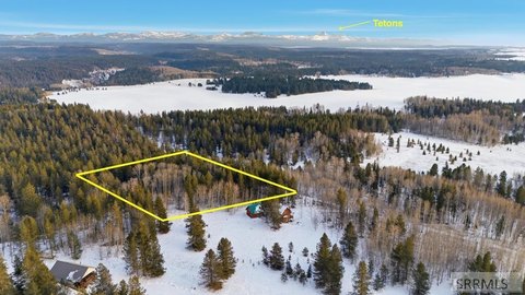
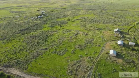
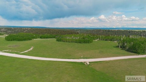
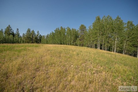
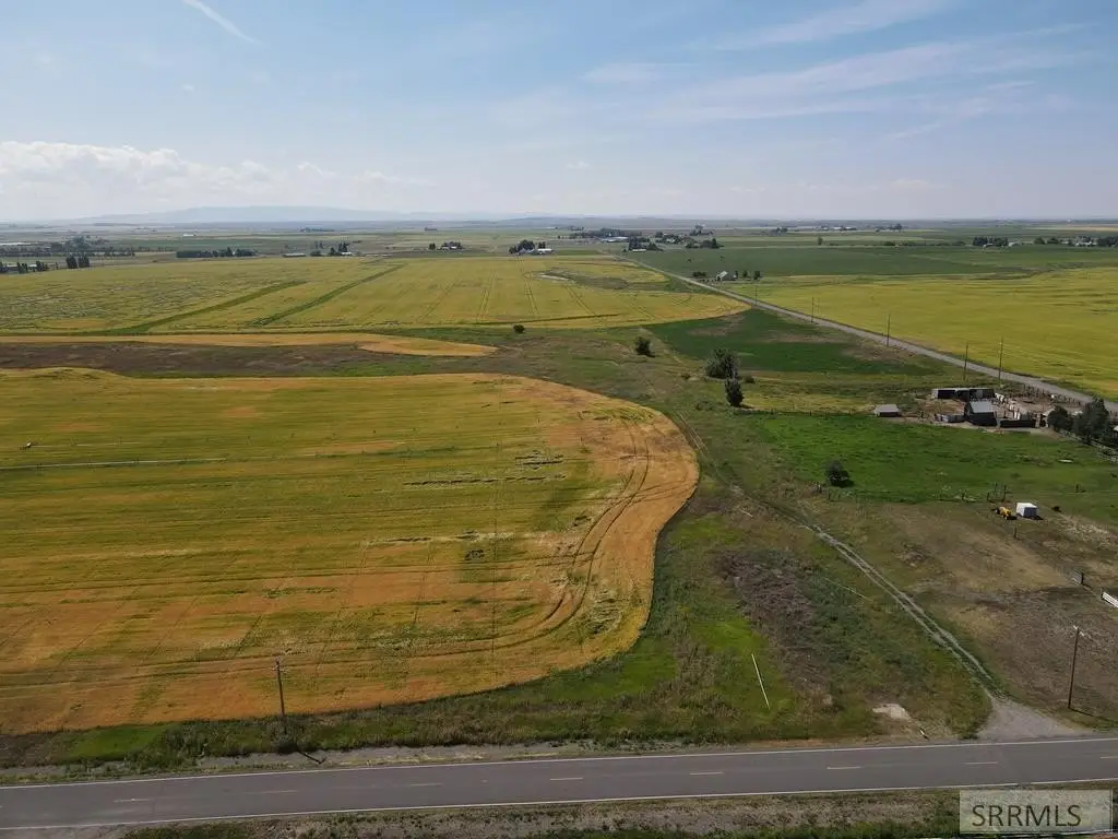
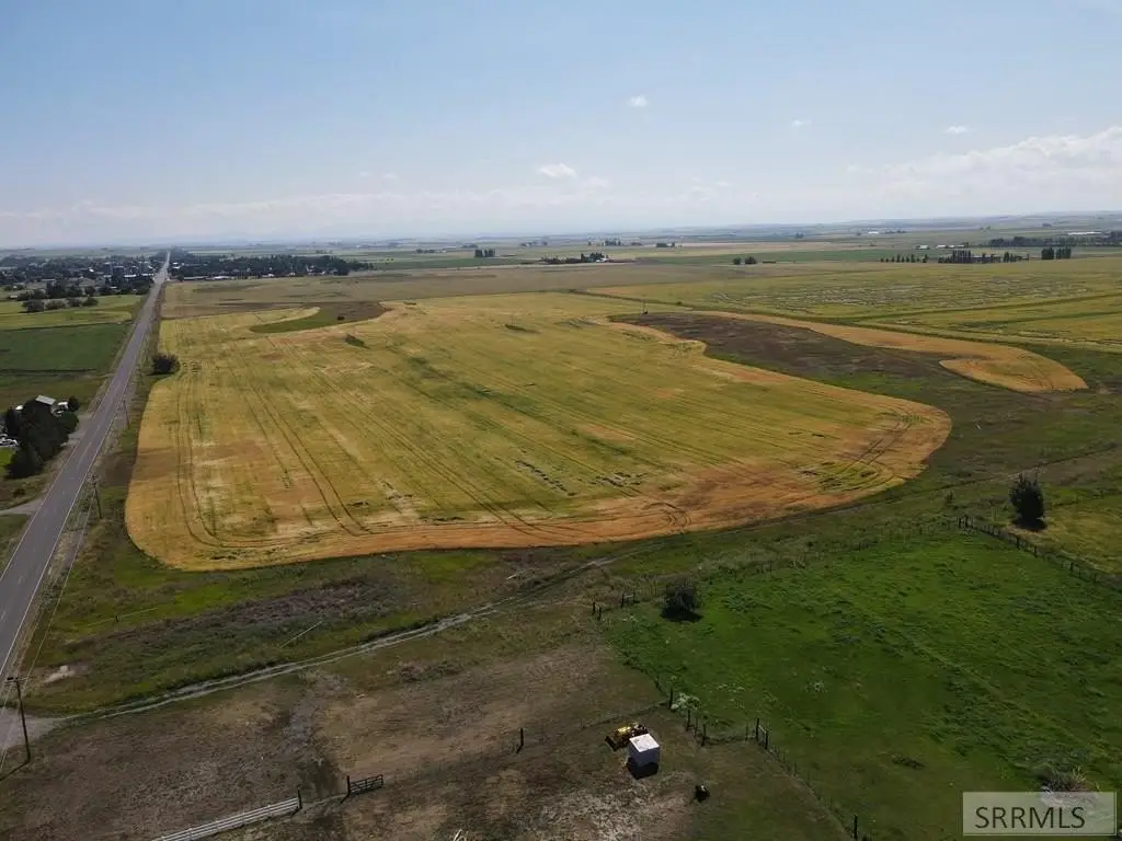
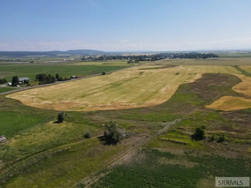
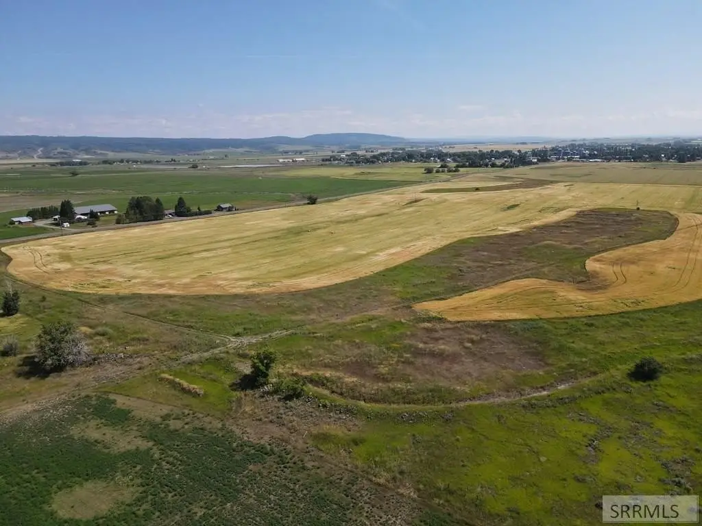
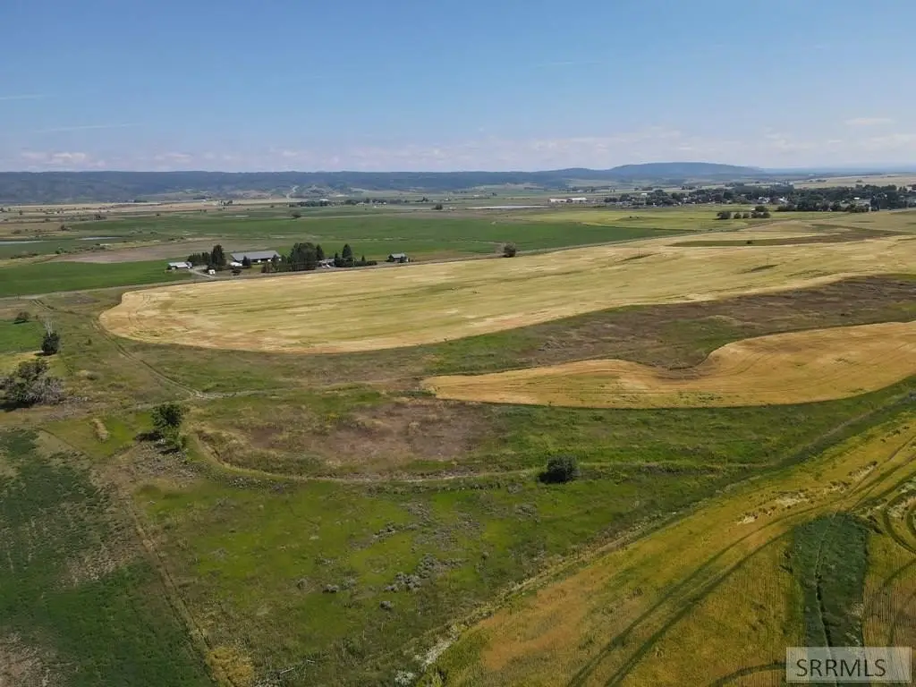
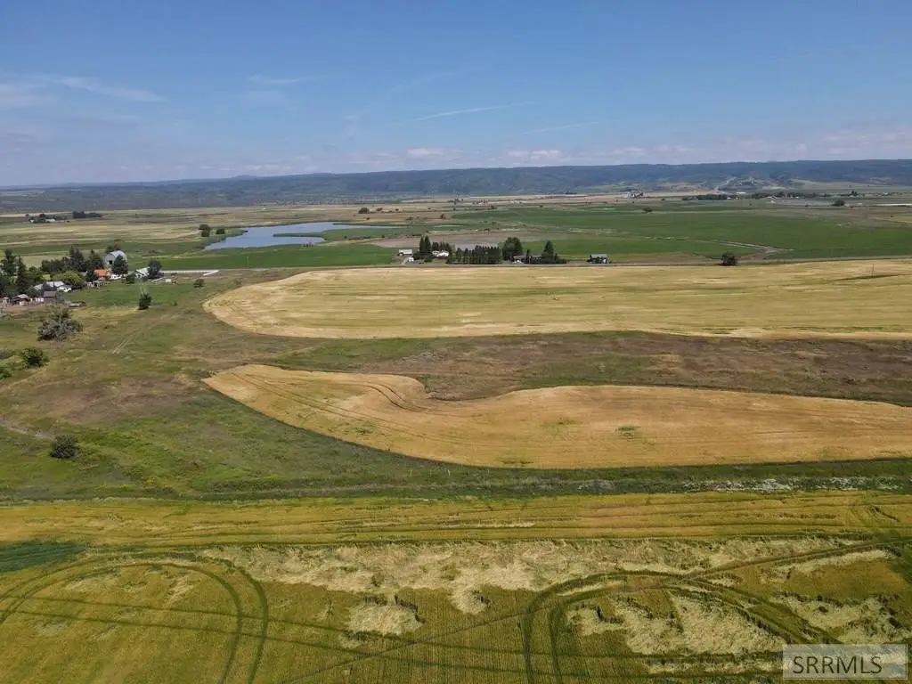
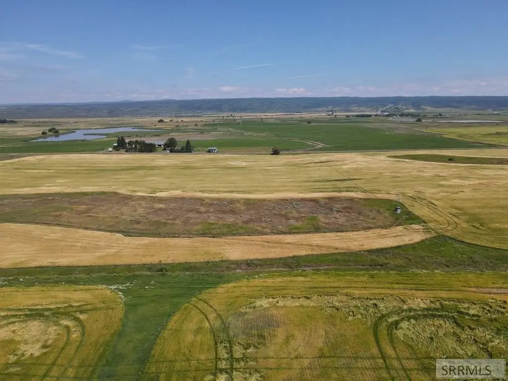
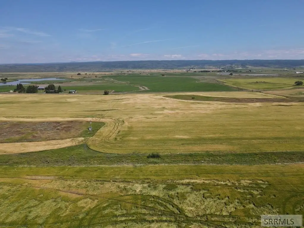
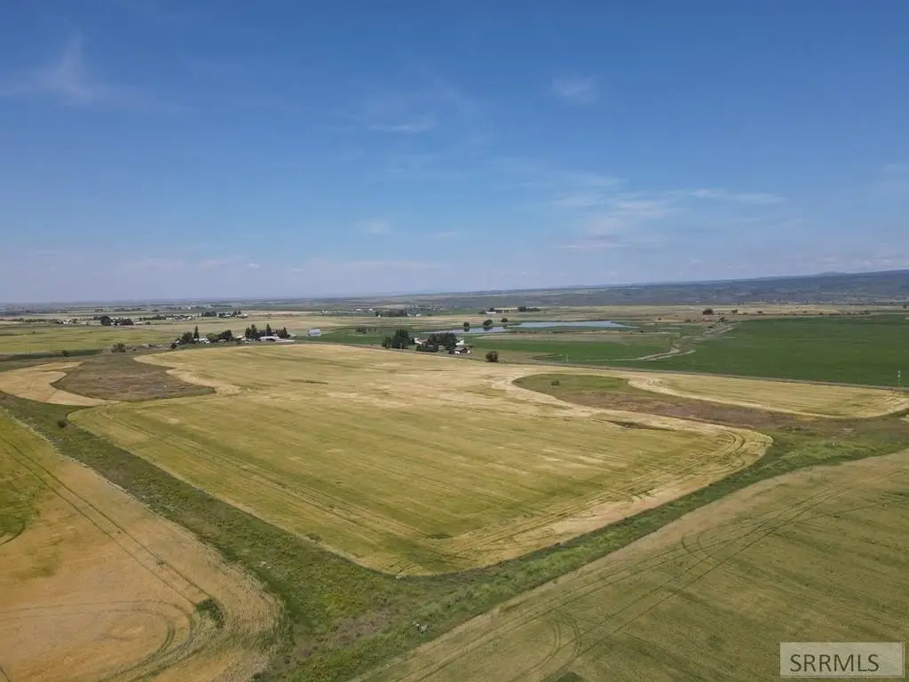
- 7.92‑acre parcel in Trout Trails Subdivision
- Just 1 mile west of Ashton, Idaho
- Includes gravity‑pressurized irrigation water
- No CC&Rs reported
- Minutes from Ora Bridge Sportsman's Access and boat launch on Henry's Fork of the Snake River
Overview
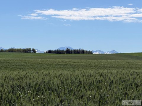
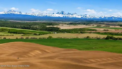
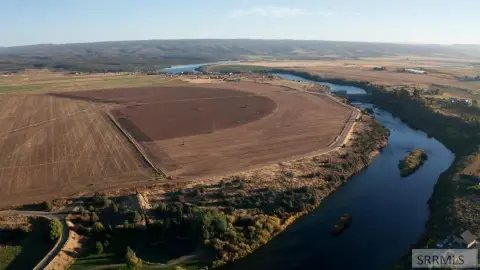
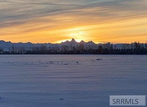
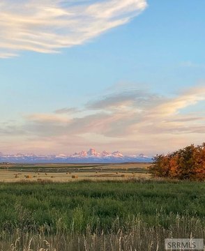
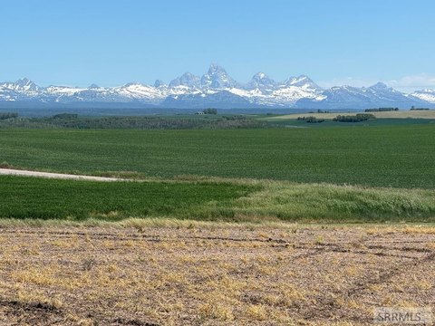
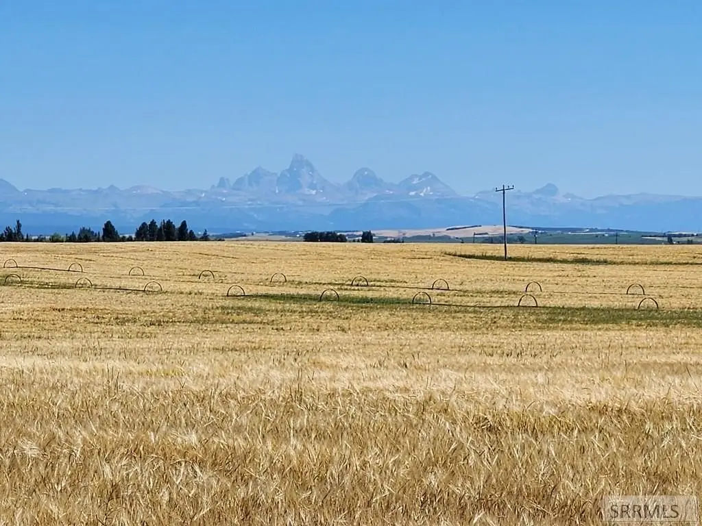
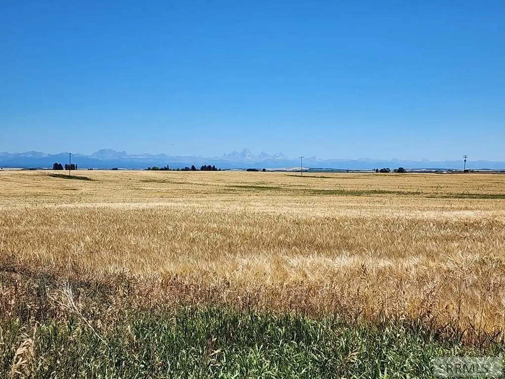
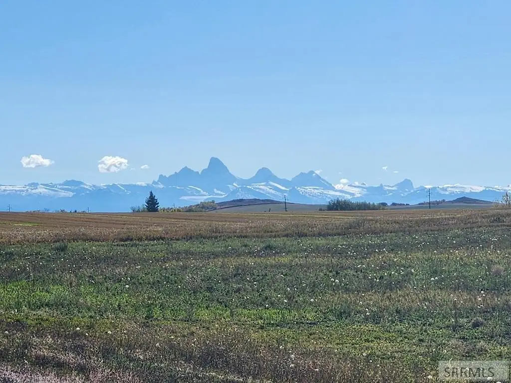
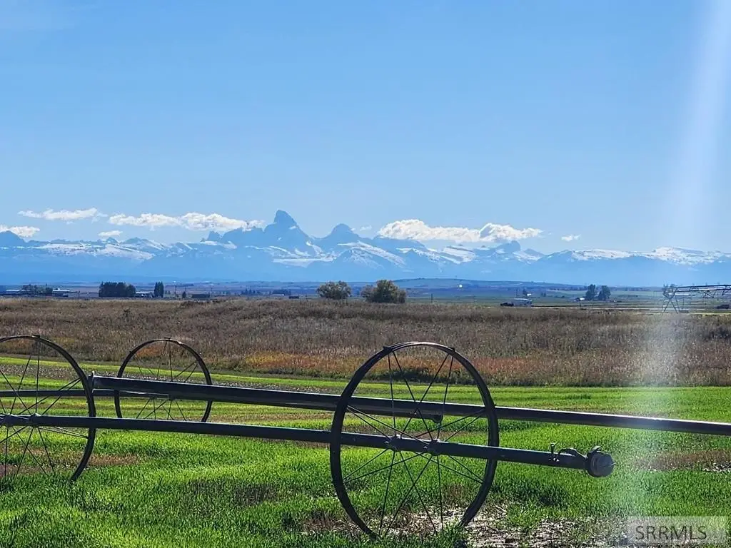
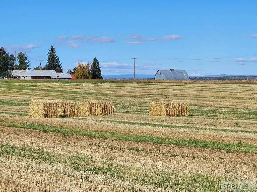
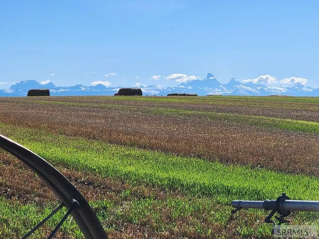
The parcel is located about 1 mile west of the community of Ashton. The setting is described as offering panoramic views of the Grand Teton Mountain Range and the broader Idaho landscape. The public remarks also indicate proximity to Henry’s Fork of the Snake River, including the Ora Bridge Sportsman’s Access and boat launch, for convenient access to fly fishing and boating.
This property may appeal to buyers seeking space outside town with agricultural support and the ability to tailor improvements without CC&Rs. For recreation-focused buyers, the remarks describe year-round outdoor opportunities nearby, including summer activities such as UTV riding, hiking, camping, hunting, and wildlife viewing, as well as winter recreation including snowmobiling and cross-country skiing. Because this is raw land, buyers should confirm intended use and site requirements during due diligence.
Current Use by Public Records
Location Insight
- Map
- Local Demand
- City
- Ashton
- County
- Fremont
- State
- Idaho
- Longitude
- -111.4720254
- Latitude
- 44.07068246