Recreational Land with Mountain
Kimball Road Lunenburg, VT 05906
For Sale
$320,000
LAND - Lunenburg, VT
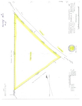
Lot Size76.50 Acres
Days on Market49
Property Features for Kimball Road
General Information
Property type
Land
Property subtype
Other
Standard status
Active
Lot size
76.50 Acres
Taxes and HOA fees
Tax Year
2025
Tax Annual Amount
320
Utilities
Sewer type
Septic Needed
Water source
Well Needed
Listing Agency:
Lisa Hampton Real Estate
(603) 788-5106
Listed By:
Jennifer Allen
(603) 788-5106
Added: Jun 12
Last Checked: Jul 30 at 4:06AM
MLS# 5094346
Copyright © 2026 PrimeMLS. All rights reserved. All information provided by the listing agent/broker is deemed reliable but is not guaranteed and should be independently verified.
Investment Insights
Based on property information with market context.
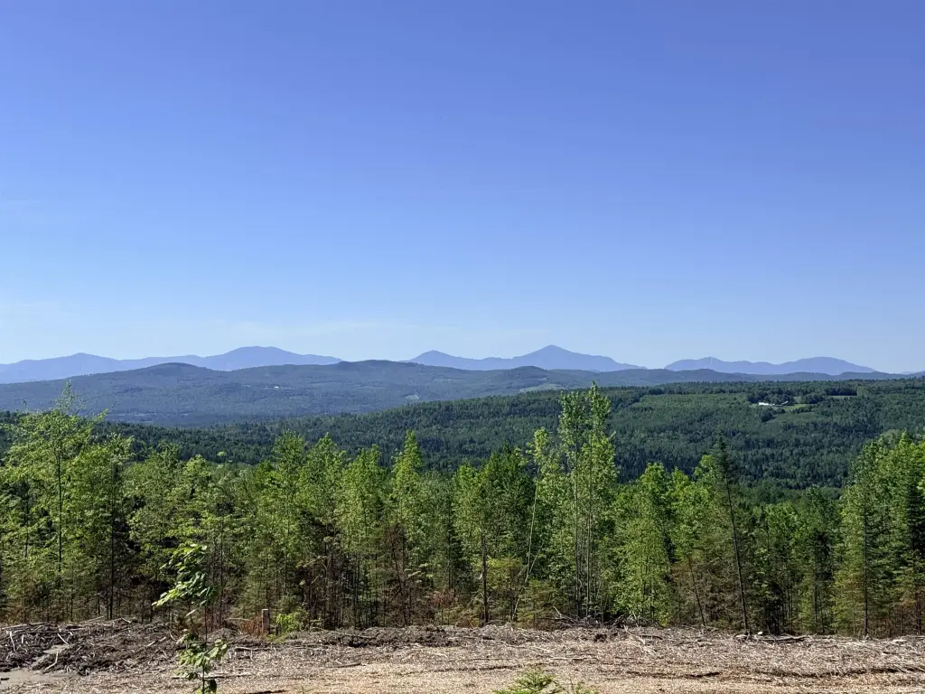
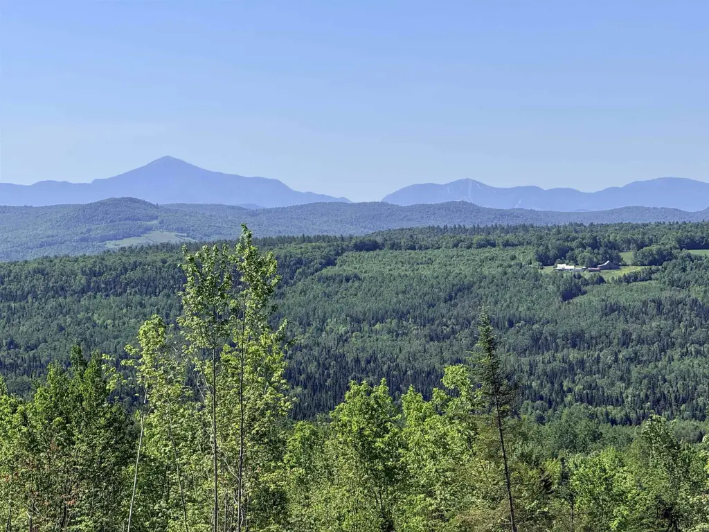
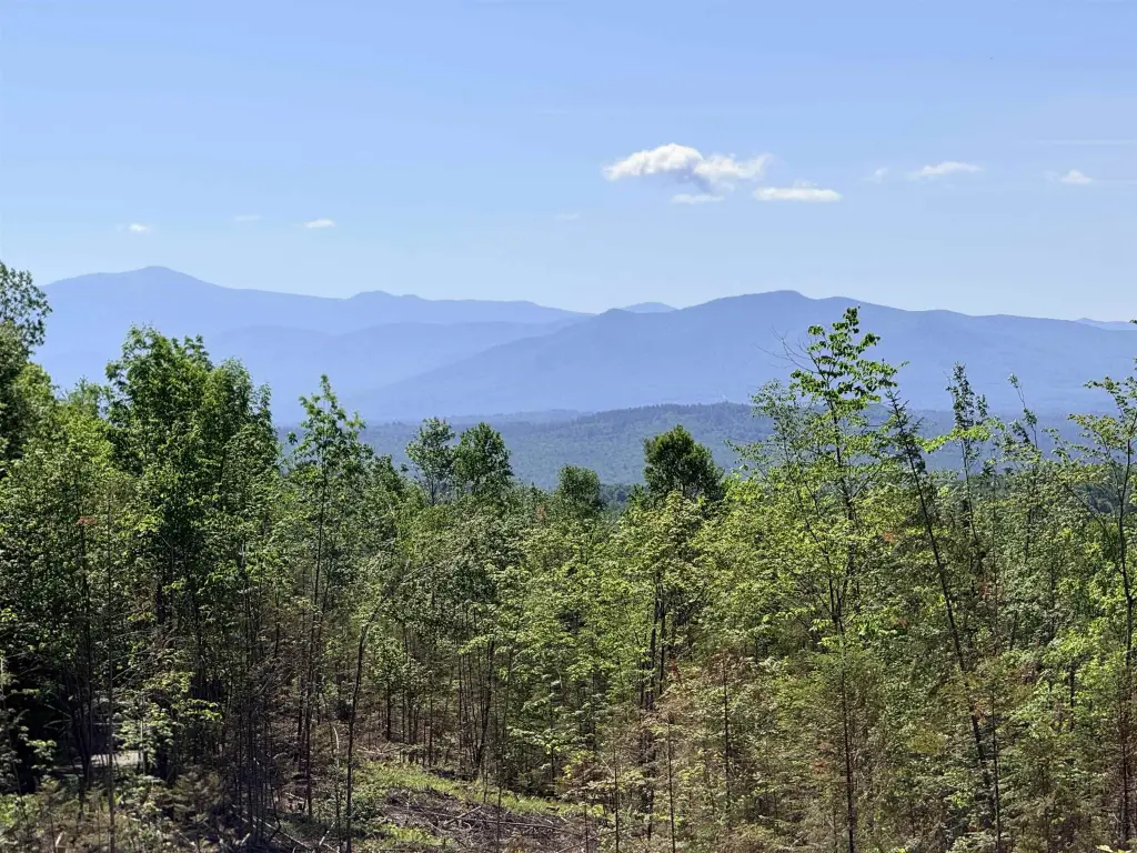
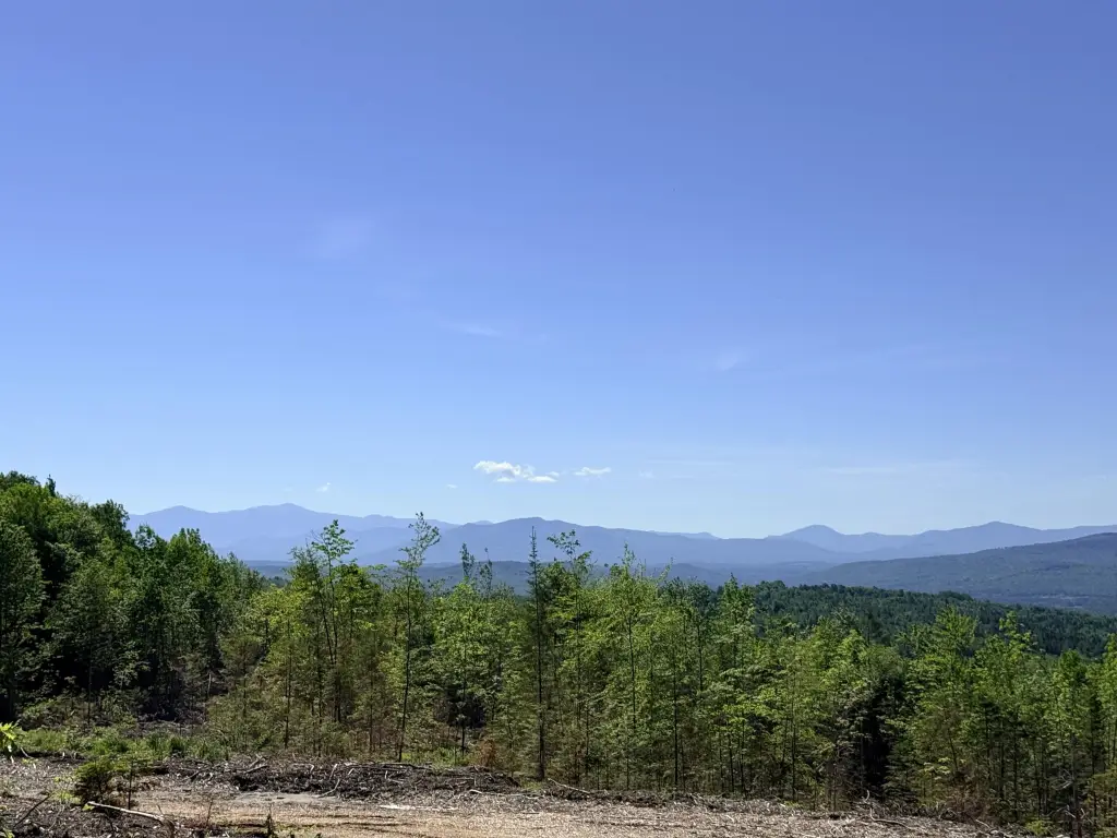
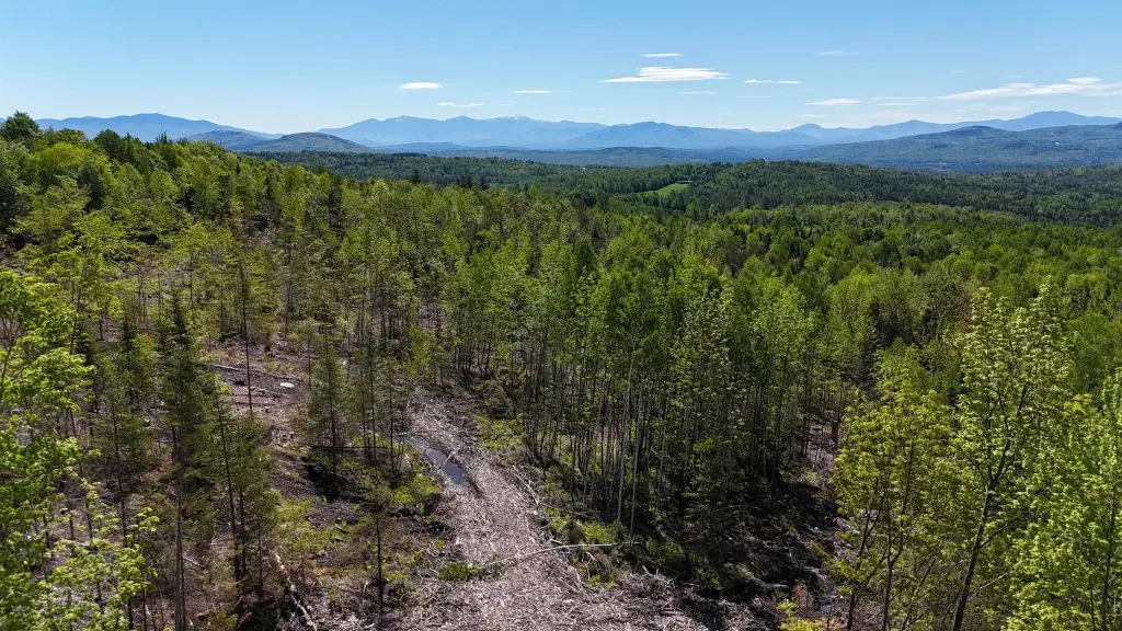
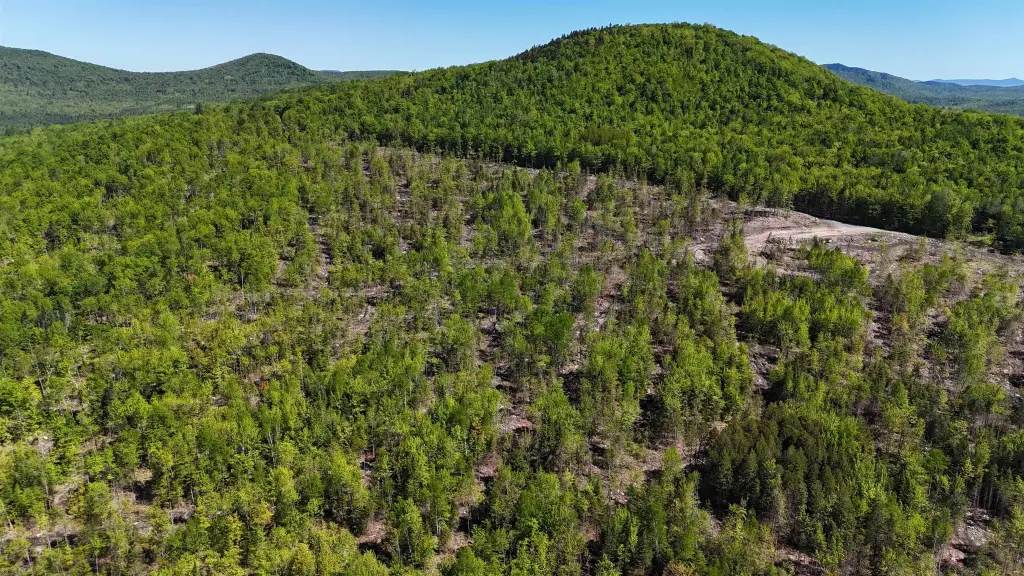
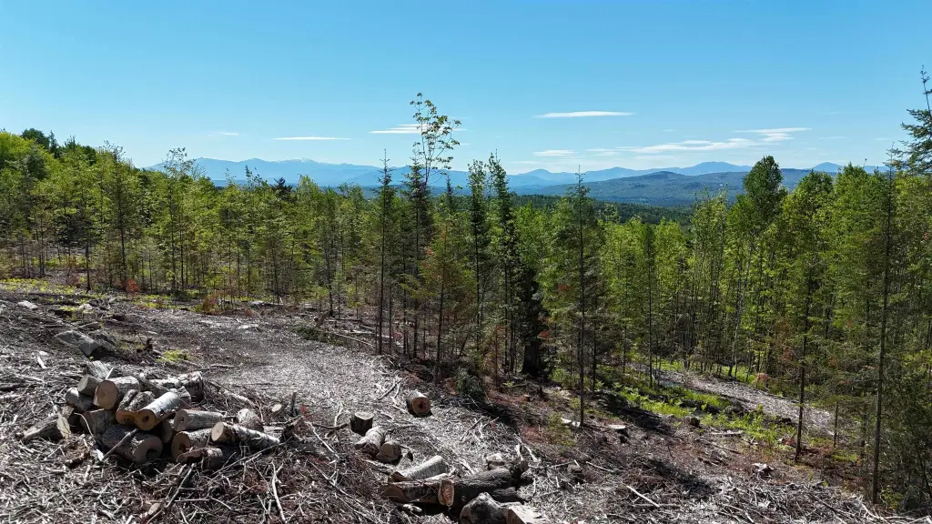
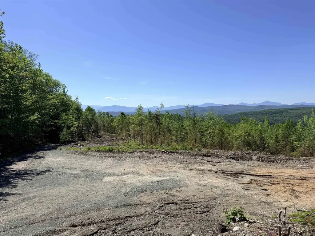
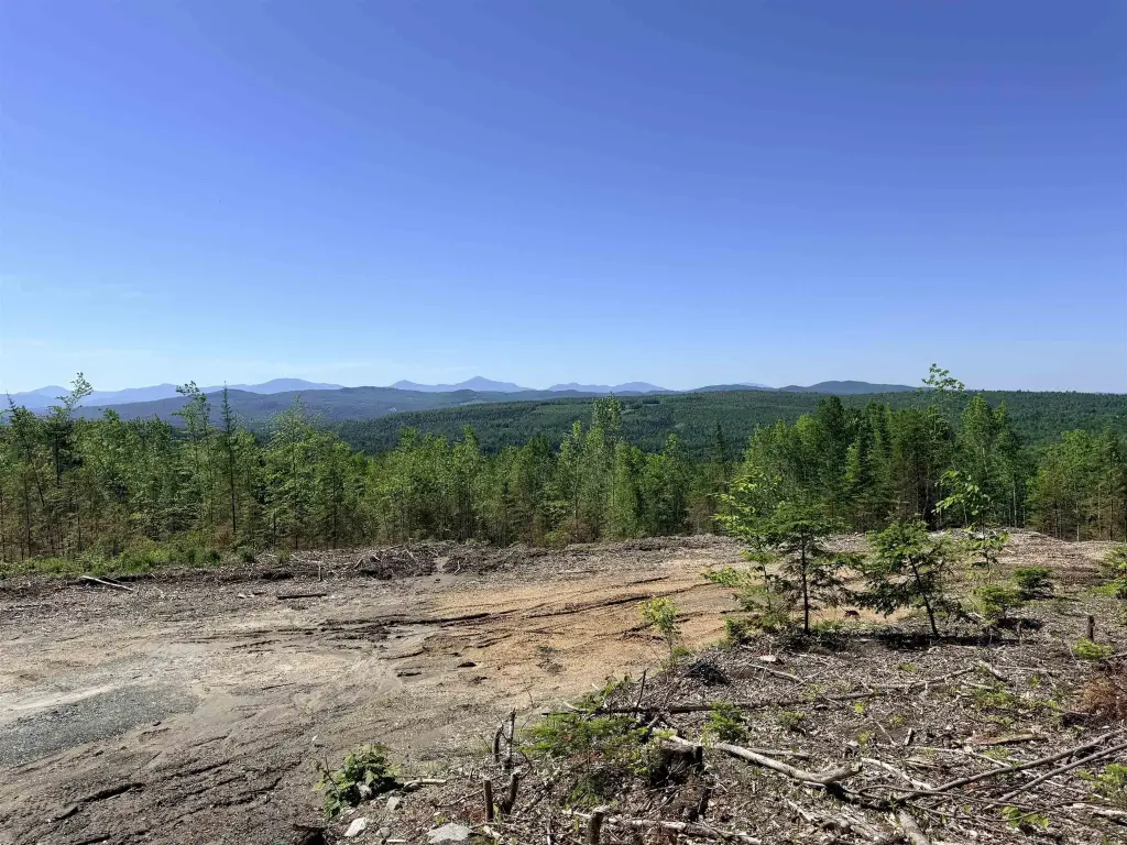
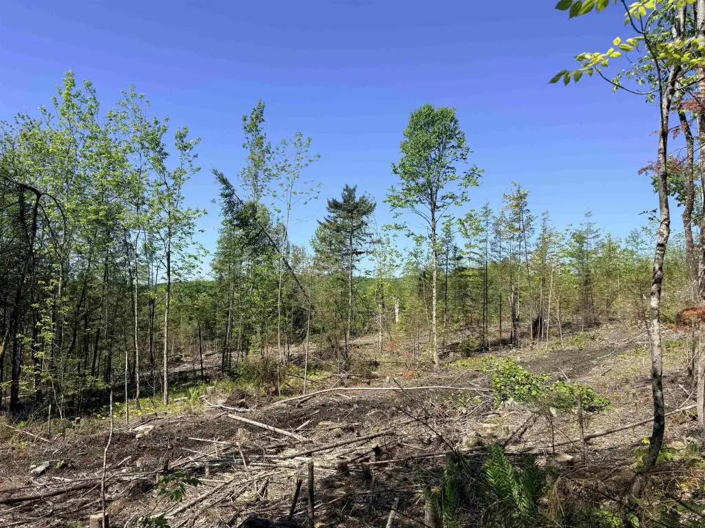
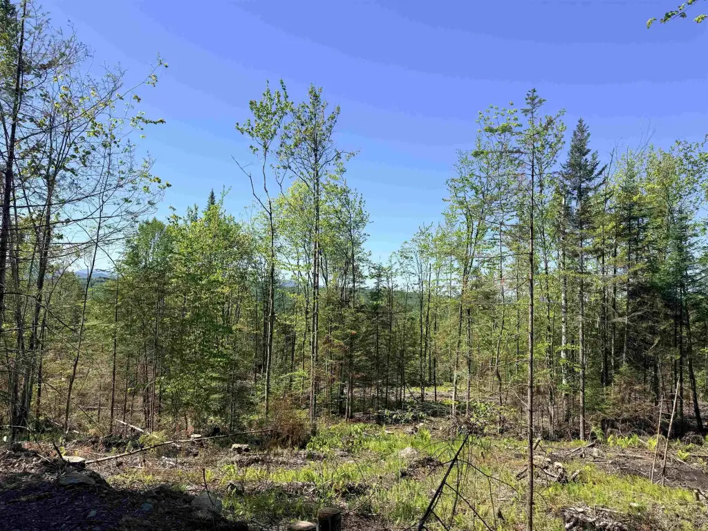
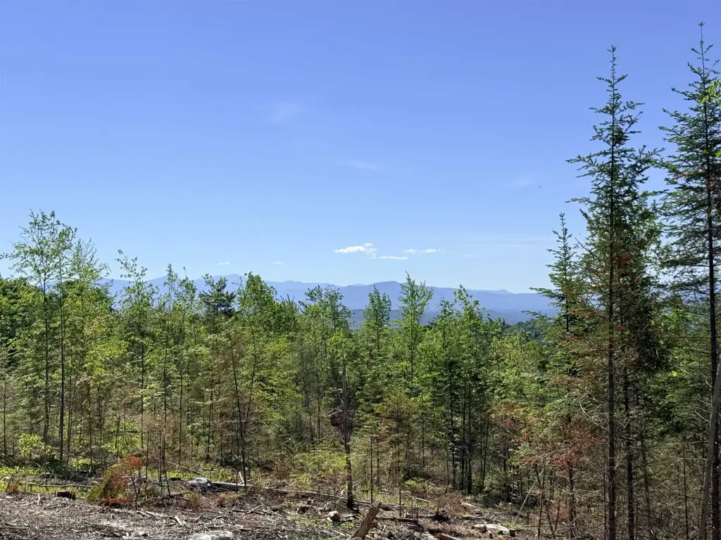
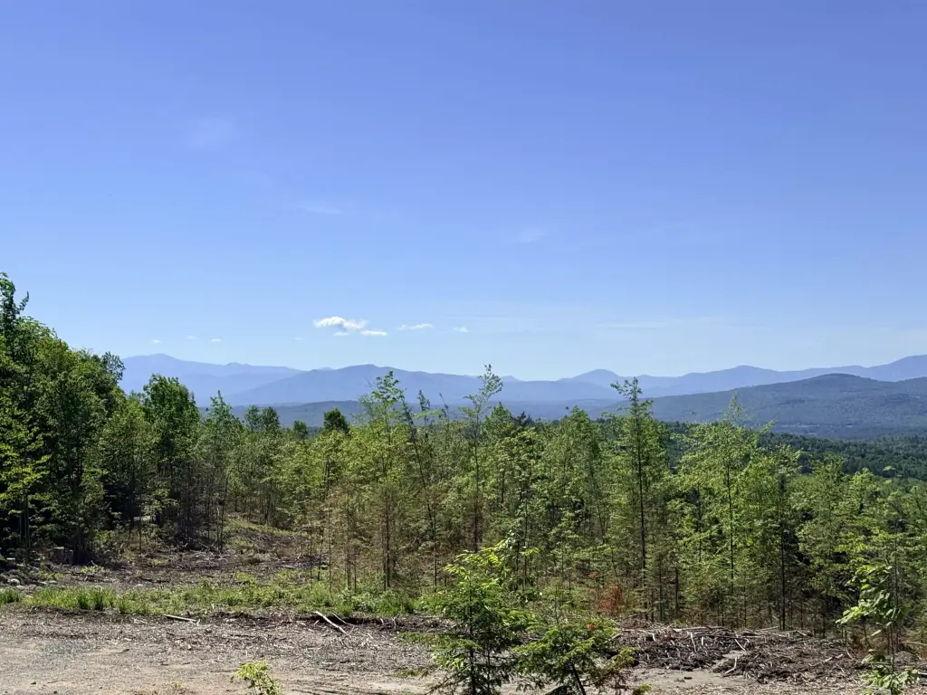
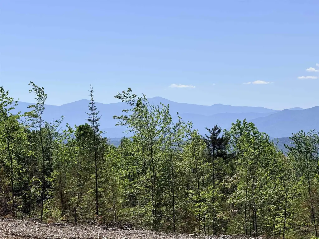
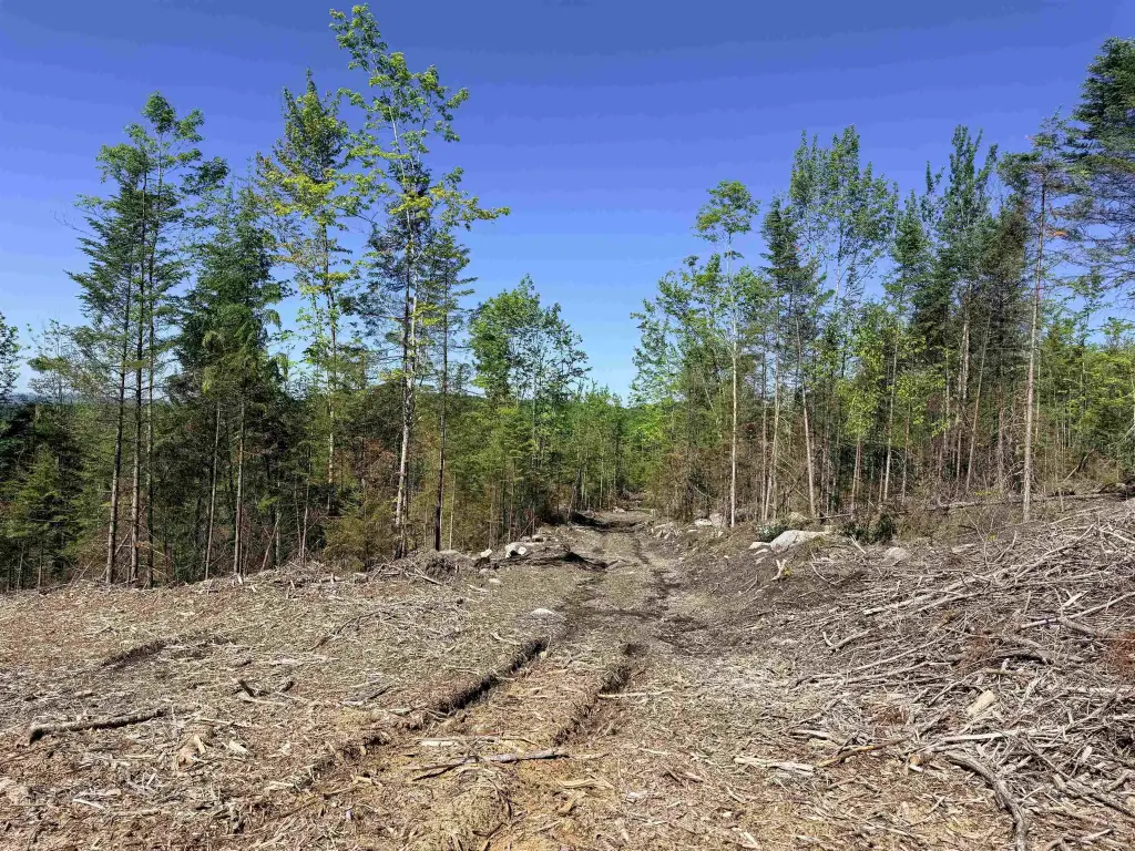
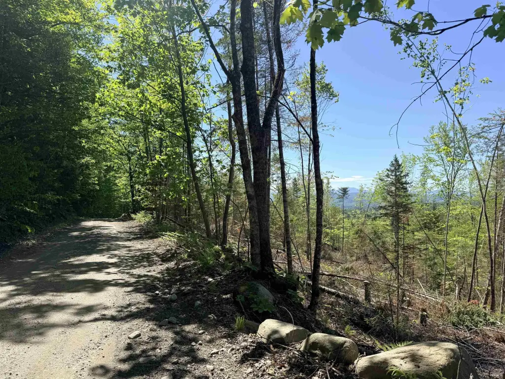
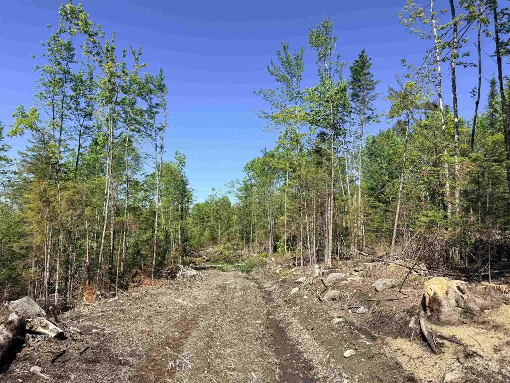
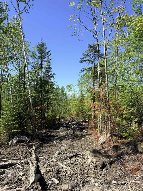
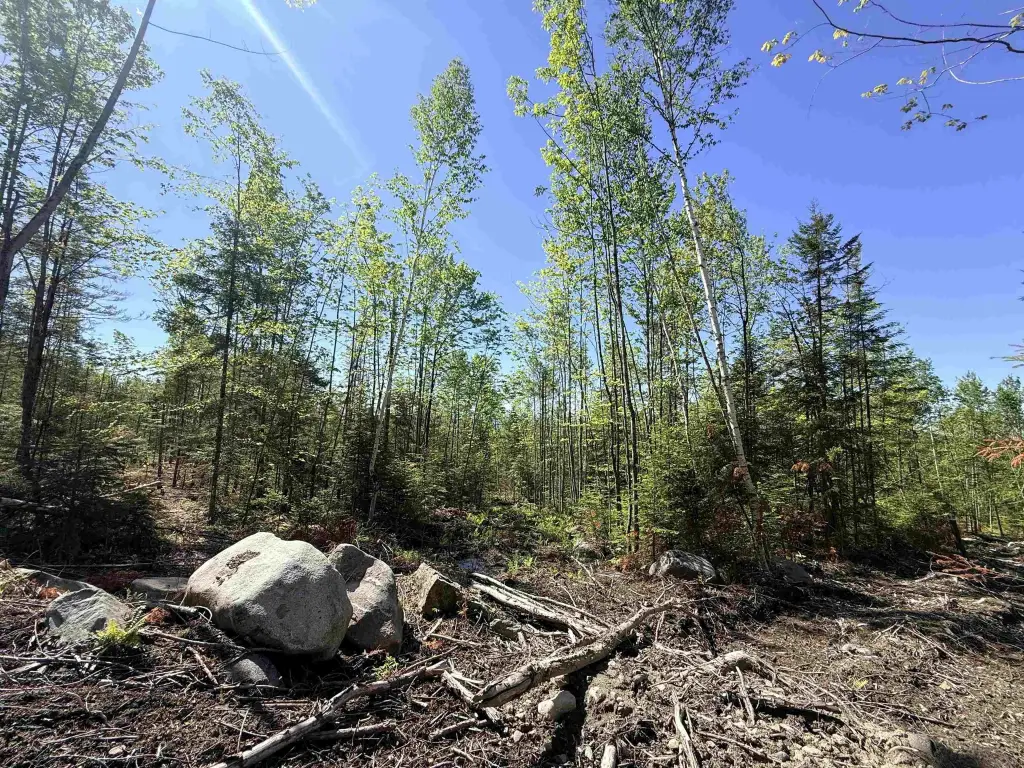
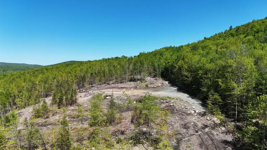
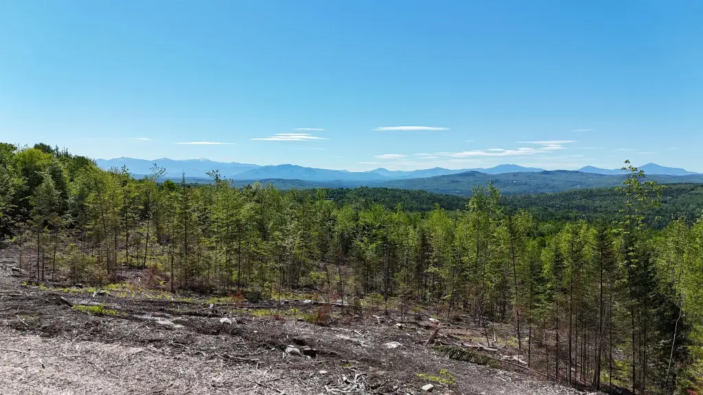
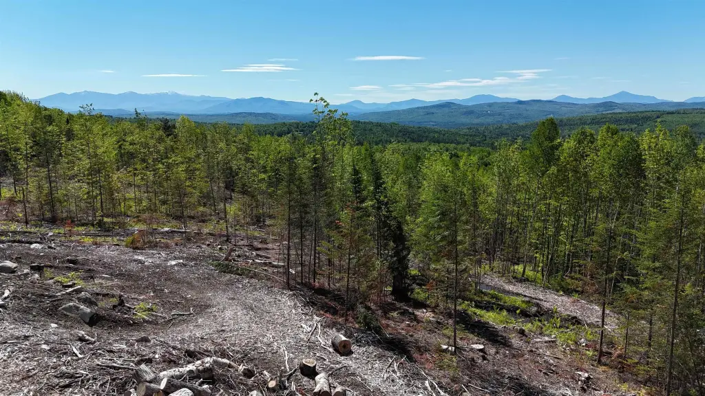
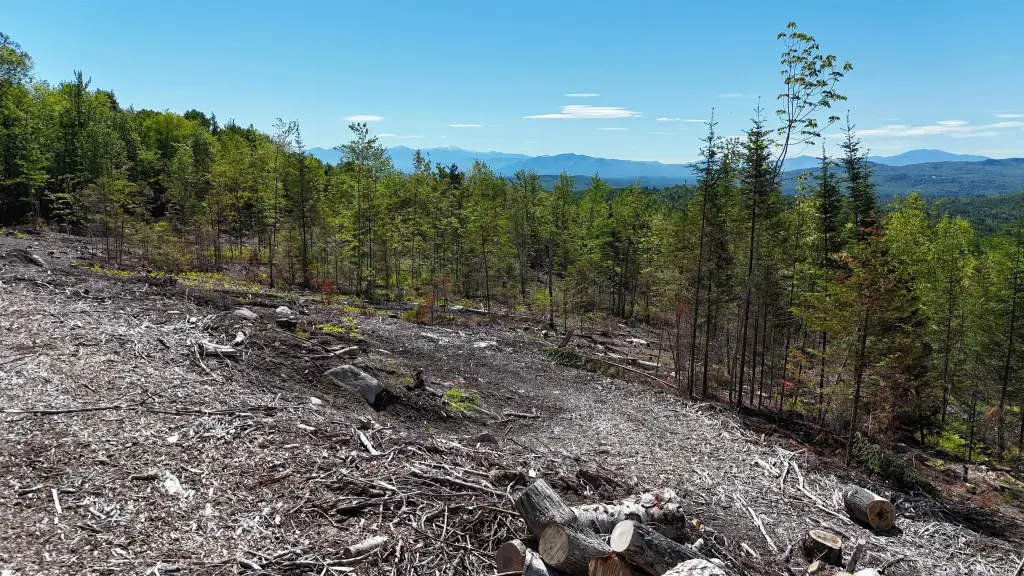
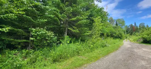
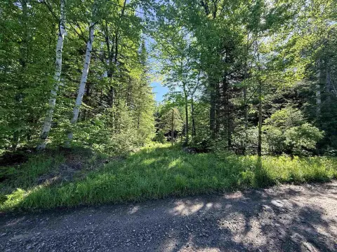
Spanning 76.5 acres, this northeast Vermont recreation tract offers expansive mountain views into New Hampshire, including views of Mount Washington and Franconia Notch. The property was recently logged and includes a large landing that can serve as a building site while keeping the surrounding vistas in view. Existing logging trails run throughout the acreage, supporting access for hiking, hunting, and other outdoor uses.
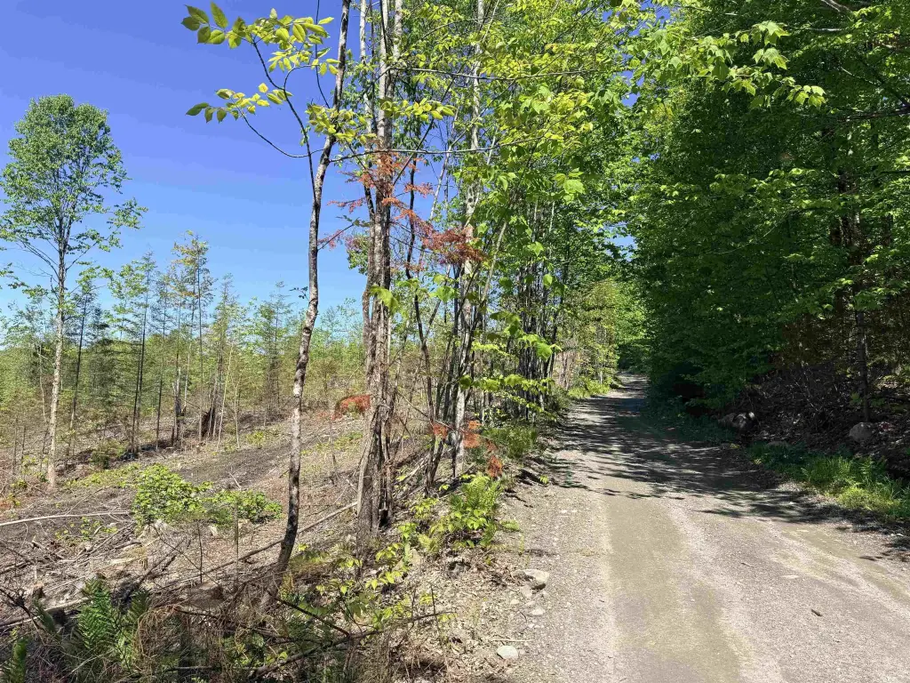
The land connects directly to VASA ATV trails and provides convenient access to the VAST snowmobile trail system via Kimball Road. Outdoor activities like hiking, fishing, and skiing are described as available nearby, and three ski areas are within a 35- to 45-minute drive. Power is available at the lower corner of the property. The parcel is enrolled in the Vermont current use program and is located 2/10 of a mile up on a class 4 road.
This property may appeal to buyers seeking a sizable, view-oriented parcel for a primary home or seasonal retreat, with practical trail access for four-season recreation. The combination of an existing landing, on-site access via logging trails, and available power at the lower corner can help simplify planning for future development while preserving the property’s established outdoor routing.
Key Highlights
- 76.5‑acre parcel in Lunenburg, VT with panoramic mountain views into New Hampshire, including Mt. Washington and Franconia Notch
- Power is available at the lower corner of the property for future development
- Property is enrolled in the Vermont current use program
Property Analytics
Property Profile
Location Intelligence
Current Use


Frequently Asked Questions
What type of property is this?
Recreation land - 76.5-acre tract with a logged landing building site, trail access for year-round recreation, and power at the lower corner.
Where is this recreation land located?
The property is located at Kimball Road Lunenburg, VT.
What is the asking price?
The asking price for this property is $320,000.
What are key features of this property?
This property features: 76.5‑acre parcel in Lunenburg, VT with panoramic mountain views into New Hampshire, including Mt. Washington and Franconia Notch; Power is available at the lower corner of the property for future development; Property is enrolled in the Vermont current use program


