Commercial Land for Mixed
KENTUCKY SPRINGS RD lot 9 & 10 Mineral, VA 23117

KENTUCKY SPRINGS RD lot 9 & 10, Mineral, VA, 23117
$219,000
For Sale
$219,000
LAND - MINERAL, VA
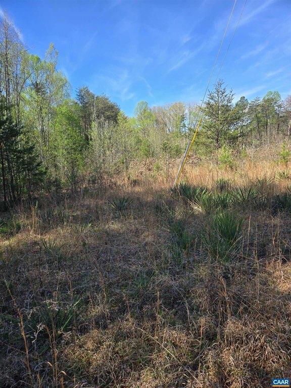
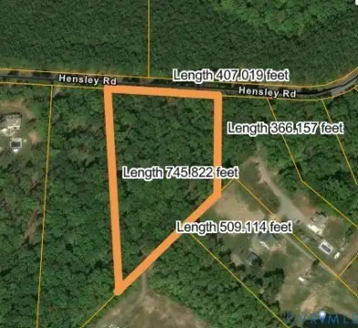
Lot Size2.19 Acres
Days on Market104
Property Features for KENTUCKY SPRINGS RD lot 9 & 10
General Information
- Property type
- Land
- Property subtype
- Other
- Standard status
- Active
- APN
- 30 18 09
- Lot size
- 2.19 Acres
Taxes and HOA fees
- Tax Year
- 2025
- Tax Description
- KENTUCKY SPRINGS SUBDIVISION, TAX ID 30 18 9, 30 18 10, PB8/2374-75 LOT 9 DB 1595/757 1.0864 AC LOT 10 DB 1595/757 1.1031 AC
- Tax Annual Amount
- 949
Utilities
- Water source
- Well
Listing Agency
RE/MAX REALTY SPECIALISTS-CHARLOTTESVILLE
(434) 974-1500
943 Glenwood Station Ln Suite 203, Charlottesville, VA
Listed by
DEANNIE TANNER · License #0225217818
(804) 339-0860
Added: Apr 7 Checked: Jul 19 at 7:06 am
MLS# 675420
Listing URL
Copyright © 2026 Charlottesville Area Association of REALTORS®. All rights reserved. All information provided by the listing agent/broker is deemed reliable but is not guaranteed and should be independently verified.
Investment Insights
Based on property information with market context.
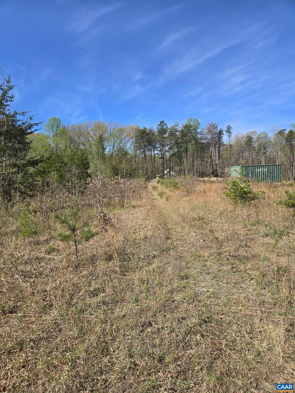
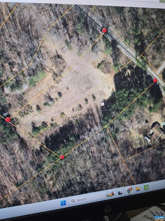
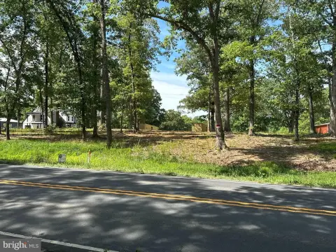
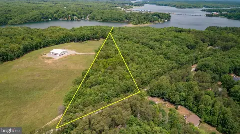
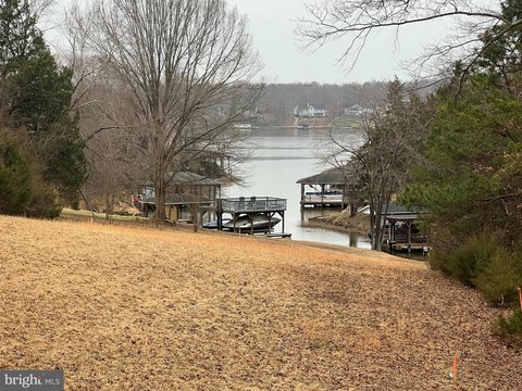
Two adjoining land parcels, Lot 9 and Lot 10 on Kentucky Springs Rd., totaling 2.19 acres, are being offered together for development consideration. The property is suitable for either commercial or residential use, with buyers encouraged to confirm potential uses with Louisa County authorities.
The land is located in Louisa County, near ongoing plant and data center activity. The seller notes the area includes many new homes in established neighborhoods and that the property provides easy access to Lake Anna, the North Anna Nuclear Plant, data center activity, Louisa, and Mineral.
For buyers evaluating a mixed-use development site, these two parcels together provide a larger, contiguous landholding for planning purposes, while the ability to consider both commercial and residential pathways can support a range of project directions. Because permitted uses and requirements can vary, the most prudent next step is to review applicable determinations with Louisa County to align any proposed development with local guidance.
Key Highlights
- Two parcels (Lots 9 & 10) on Kentucky Springs Rd in Mineral, VA
- Over 2 acres of land for development across Lots 9 and 10
- Water source: well
Property Analytics
Property Profile
Location Intelligence
Current Use by Public Records
Residential land & home ...
Similar For Sale Nearby


FAQs
What type of property is this?
Residential land & home lot - Two adjoining parcels offer flexibility for commercial or residential development near Lake Anna activity.
Where is this residential land & home lot located?
The property is located at KENTUCKY SPRINGS RD lot 9 & 10 Mineral, VA.
What is the asking price?
The asking price for this property is $219,000.
What are key features of this property?
This property features: Two parcels (Lots 9 & 10) on Kentucky Springs Rd in Mineral, VA; Over 2 acres of land for development across Lots 9 and 10; Water source: well


