Industrial Land with Interstate
For Sale
$1,200,000
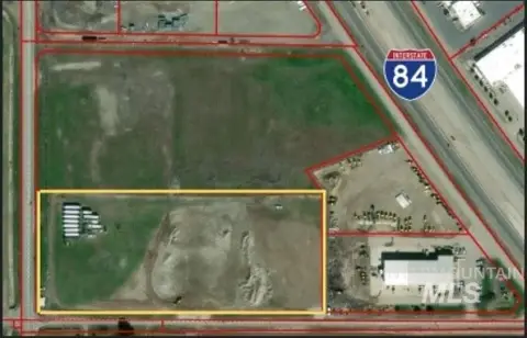
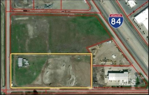
200 E, Jerome, ID 83338
Land, Jerome, ID
Property SizeContact for details
Lot Size41.52 Acres
Days on Market147
Property Features for 200 E
General Information
Property type
Commercial Sale
Property subtype
Other
Zoning description
IMP-IND
Subdivision
0 Not Applic.
Lot features
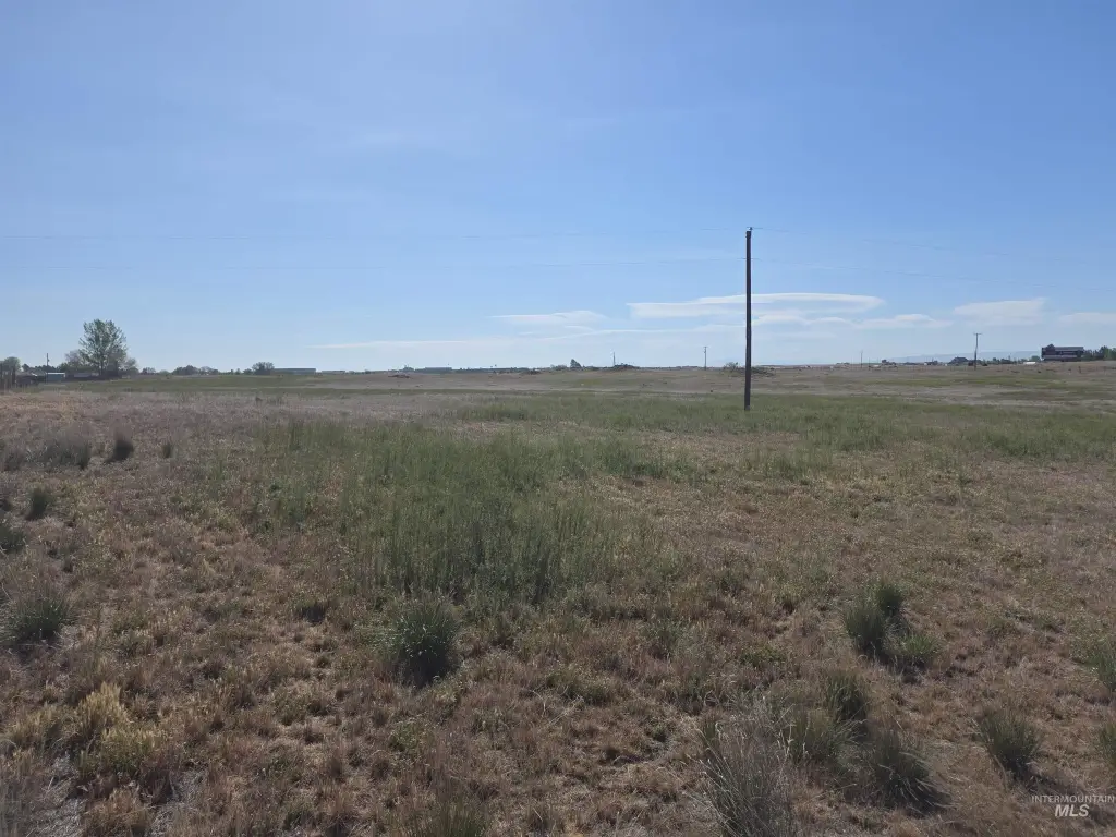
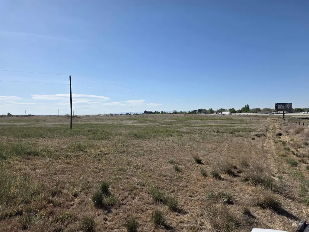
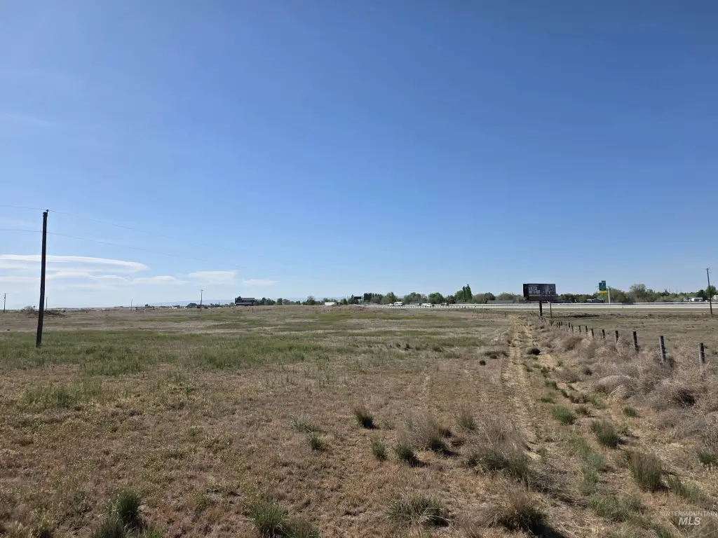
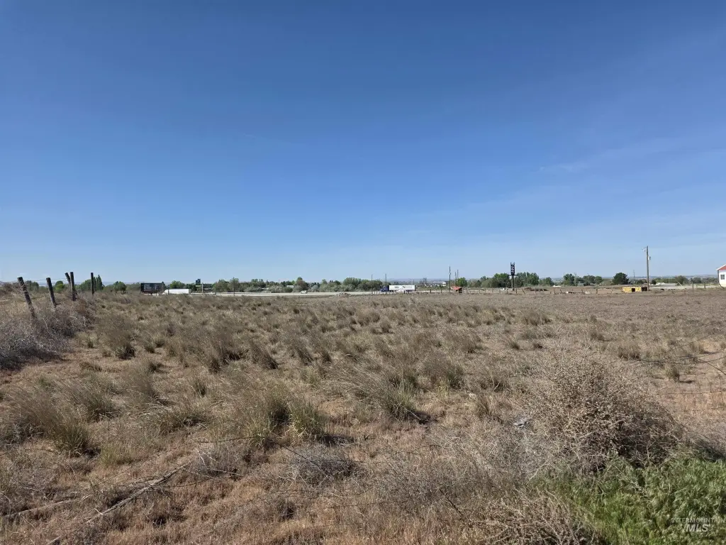
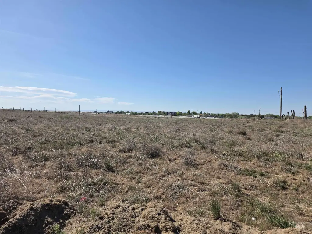
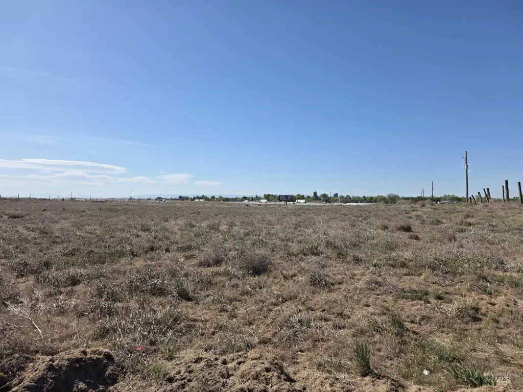
Over 40 Acres, Pasture, Sloped, Solar Potential, Views
Elementary school district
Jerome School District #261
Middle school district
Jerome School District #261
High school district
Jerome School District #261
Directions
North on Hwy 93/North of the Flying J, go West on 300 South to 200 East
Standard status
Active
APN
RP09S17E095450
Lot size
41.52 Acres
Taxes and HOA fees
Tax Year
2025
Tax Description
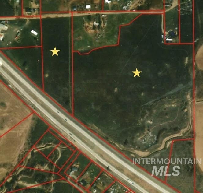
Tax 35 Of Sw Sec 9 T9 R17 6.93 Acres Tax 20 & Tax 28 Of Sw Sec 9 T9 R17 34.59 Acres
Tax Annual Amount
110
Legal Description
Tax 35 Of Sw Sec 9 T9 R17 6.93 Acres Tax 20 & Tax 28 Of Sw Sec 9 T9 R17 34.59 Acres
Utilities
Utilities
Electricity Available
Listing Agency:
Gem State Realty Inc
(208) 734-0400
Listed By:
Jordan Beard · License #sp36002
(208) 420-9709
Added: May 13
Changed: Sep 24
Last Checked: Oct 6 at 10:06AM
MLS# 98986077
Copyright © 2026 Intermountain Multiple Listing Service. All rights reserved. All information provided by the listing agent/broker is deemed reliable but is not guaranteed and should be independently verified.
Investment Insights
Based on property information with market context.
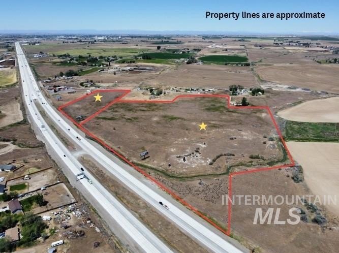
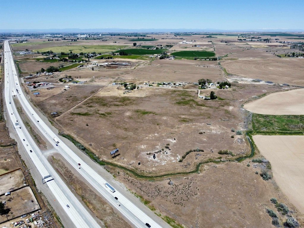
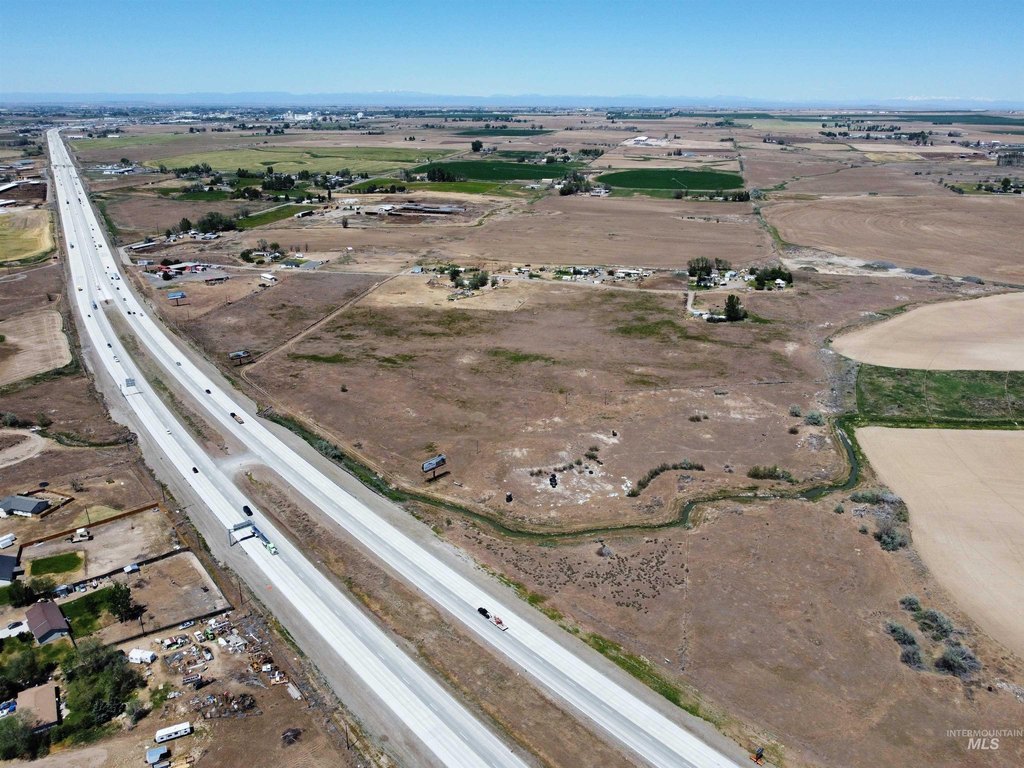
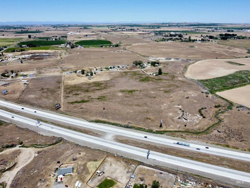
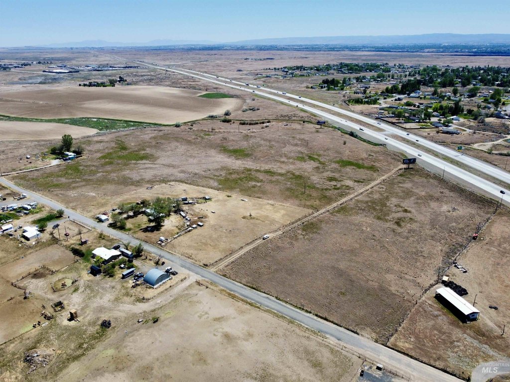
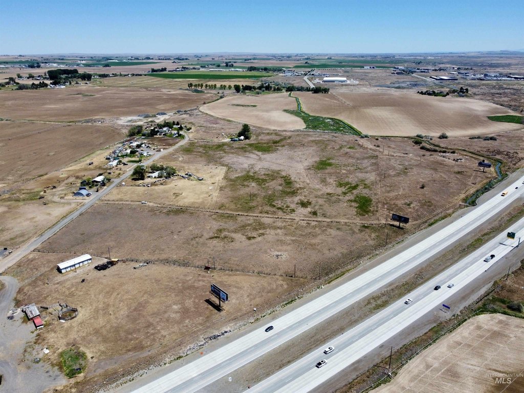
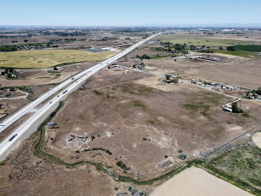
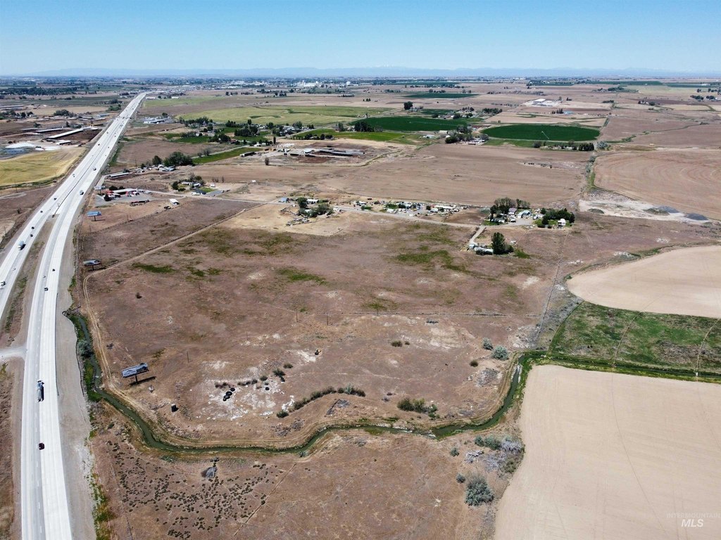
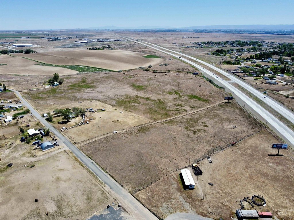
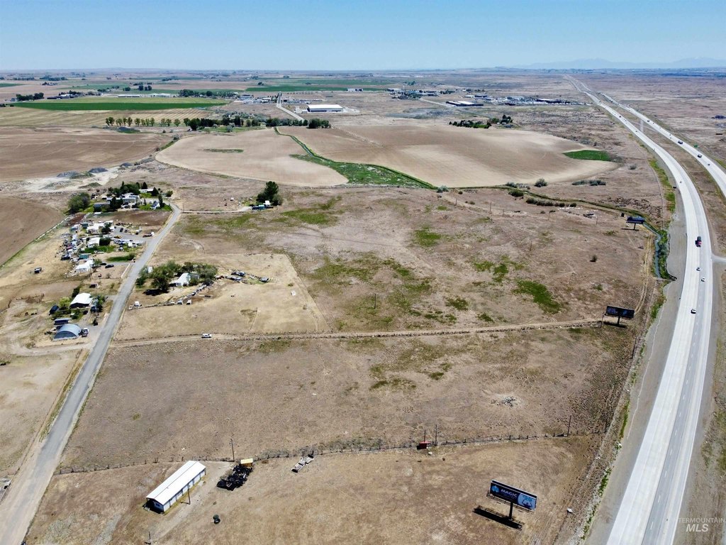
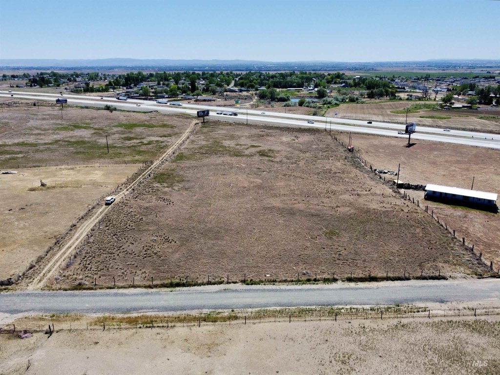
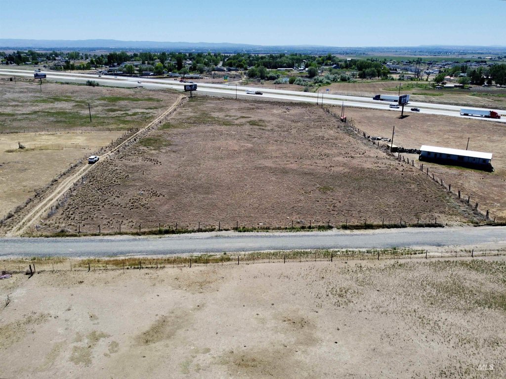
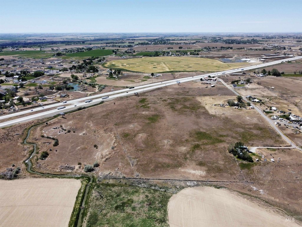
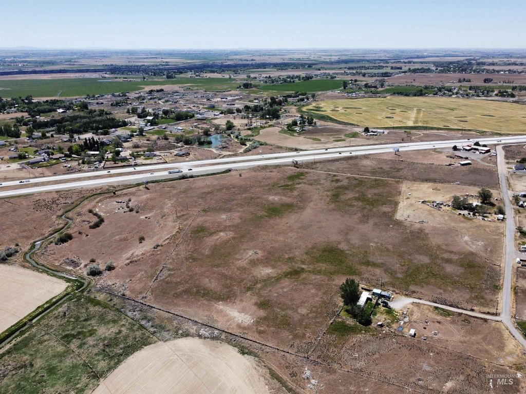
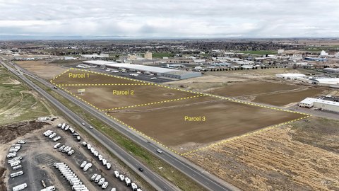
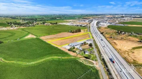
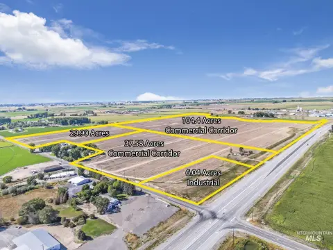
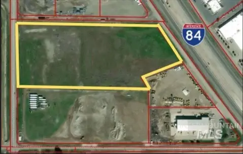
This 41.52-acre industrial land offering combines two contiguous commercial parcels into a substantial development footprint. The property has 16,032 feet of frontage along Interstate 84 and electricity available, supporting consideration of industrial outdoor storage, warehouse and distribution facilities, contractor yards, fleet operations, and other light industrial or logistics uses.
Positioned in the Jerome I-84 corridor, the site is near on-and-off ramps serving Jerome and Twin Falls. Its setting is surrounded by industrial, distribution, and service-oriented development associated with freight movement, agriculture, and regional commercial expansion. The configuration provides a large land base for users seeking interstate exposure and regional access in Southern Idaho.
Positioned in the Jerome I-84 corridor, the site is near on-and-off ramps serving Jerome and Twin Falls. Its setting is surrounded by industrial, distribution, and service-oriented development associated with freight movement, agriculture, and regional commercial expansion. The configuration provides a large land base for users seeking interstate exposure and regional access in Southern Idaho.
Key Highlights
- 41.52 acres across two contiguous commercial parcels
- 16,032 feet of Interstate 84 frontage
- Located in the Jerome I‑84 corridor
Property Analytics
Unlock full access to Insights
Subscribe to Realmo Intelligence
Open Analytics
Current Use
Lease Details
Yes
Highway access
Location Intelligence
Trade Area within ½ mile
10
Businesses Nearby
Explore this area
Business Placement
Demographics for 83338, ID
21,486
Population
7,606
Households
2.8
Avg Household Size
33
Median Age
13%
College-Educated
74%
High-School Grad
276.4 sq mi
ZIP Area
78
Density / Sq Mi
$70,489
Median Household Income
$35,037
Median Earnings
$883
Median Rent
$253,300
Median Home Value
Check the figures for this property
Cap Rate, Value Estimation, Potential NOI and more
View Realmo Analytics
Market
Vacancy Rate% for Industrial in West region

Questions? Ask Rey
Realmo’s AI knows this listing — price, zoning, demand, history. Ask anything.



Frequently Asked Questions
What type of property is this?
Industrial land - Two contiguous parcels provide a flexible setting for outdoor storage, logistics, and light industrial operations.
Where is this industrial land located?
The property is located at 200 E Jerome, ID.
What is the asking price?
The asking price for this property is $1,200,000.
What are key features of this property?
This property features: 41.52 acres across two contiguous commercial parcels; 16,032 feet of Interstate 84 frontage; Located in the Jerome I‑84 corridor


