Industrial Land Along

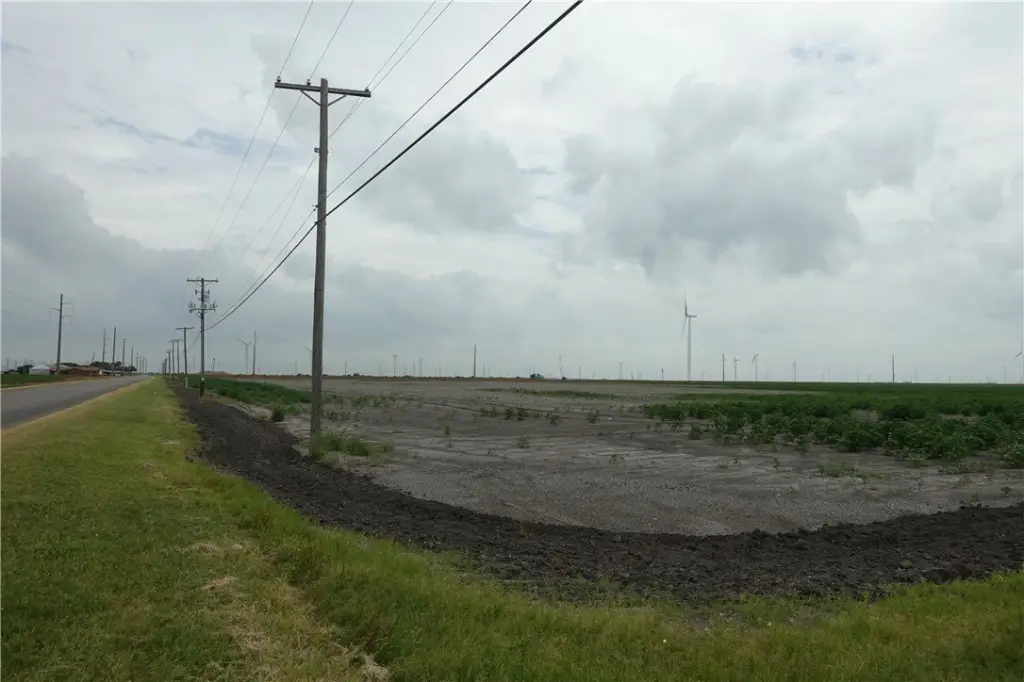
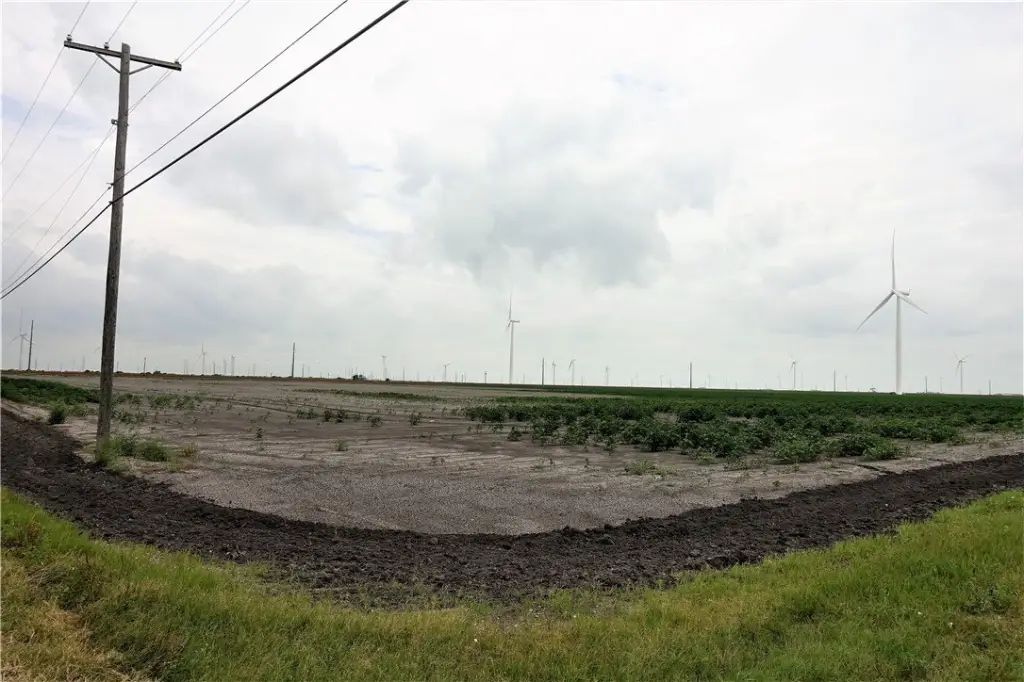
For Sale
$8,549,050
Hwy 181 CR 1612 CR 3567 lot Sec K, Taft, TX 78390
Land, Taft, TX
Property SizeContact for details
Lot Size179.98 Acres
Days on Market1915
Property Features for Hwy 181 CR 1612 CR 3567 lot Sec K
General Information
Property type
Land
Property subtype
Other
Subdivision
Paul Sub Cfp Co
Lot features
Agricultural, Level
Elementary school
Taft
Middle school
Taft
High school
Taft
Elementary school district
Taft ISD
Middle school district
Taft ISD
High school district
Taft ISD
Standard status
Active
APN
43716
Lot size
179.98 Acres
Taxes and HOA fees
Tax Description
SEC K S/2 PAUL S/D CFP CO 175 ACRES
Legal Description
SEC K S/2 PAUL S/D CFP CO 175 ACRES
Utilities
Water source
Public
Listing Agency:
Cass Real Estate
(361) 643-2662
Listed By:
Shawn Cass · License #0326039
(972) 333-3727
Added: Jun 21, 2021
Changed: Sep 3
Last Checked: Sep 17 at 6:06AM
MLS# 384981
Copyright © 2026 South Texas Multiple Listing Service, LLC. All rights reserved. All information provided by the listing agent/broker is deemed reliable but is not guaranteed and should be independently verified.
Investment Insights
Based on property information with market context.
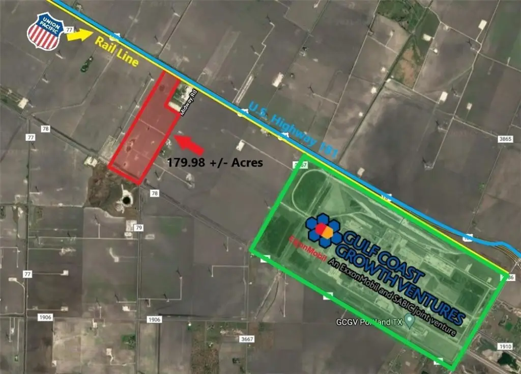
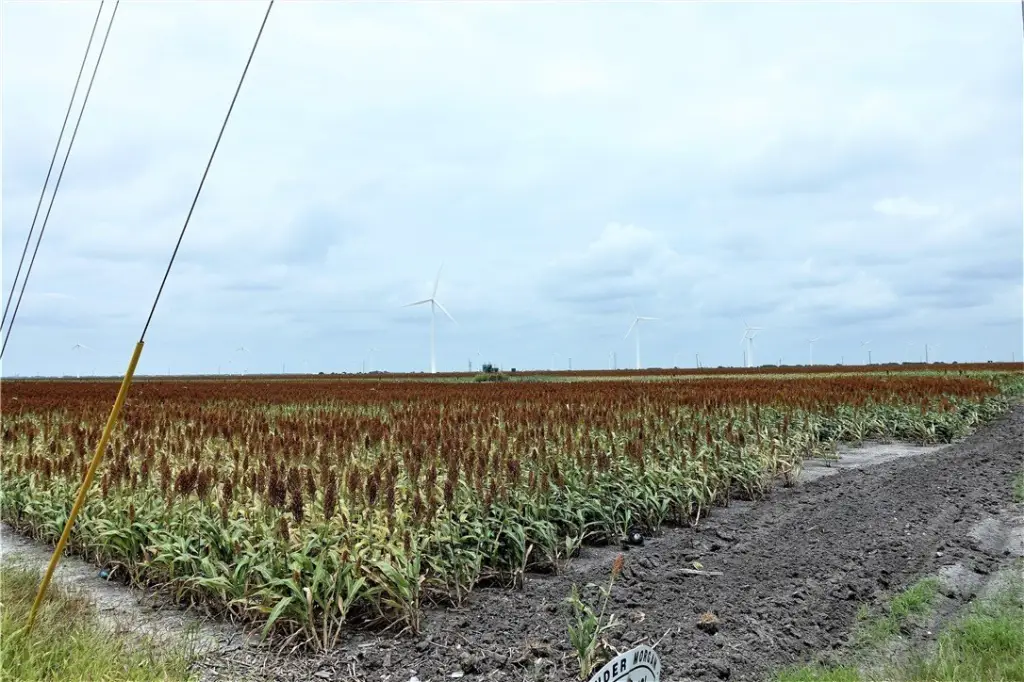
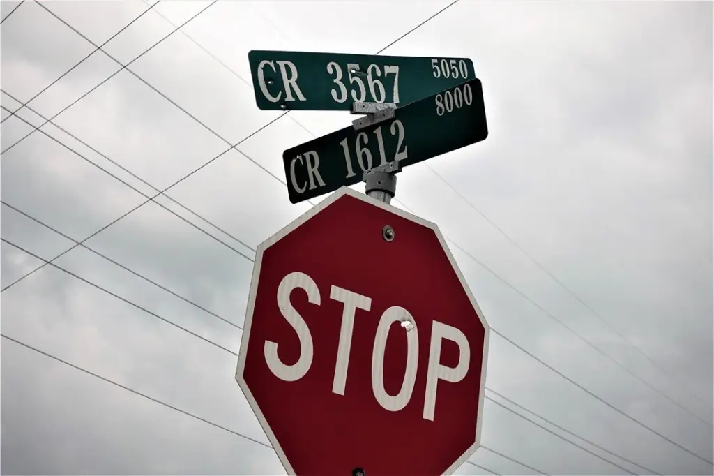
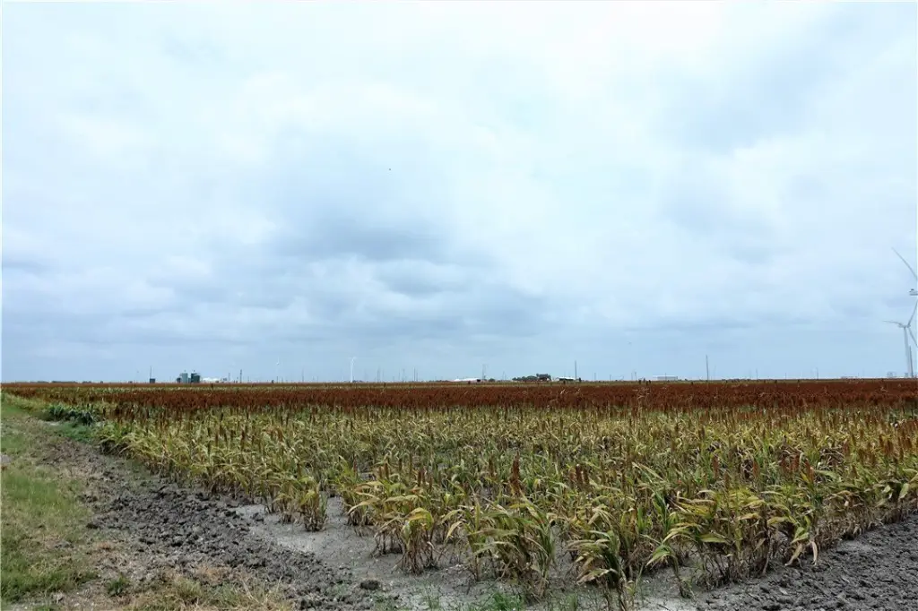
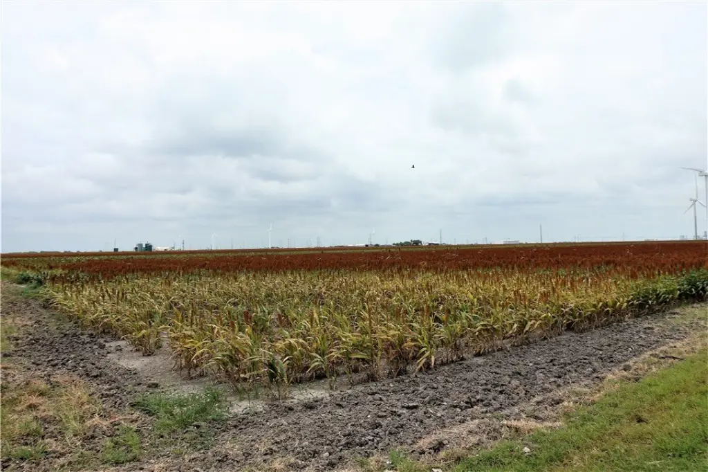
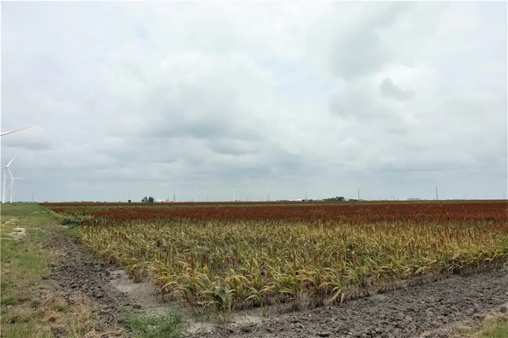
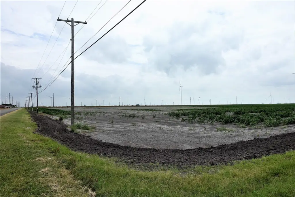
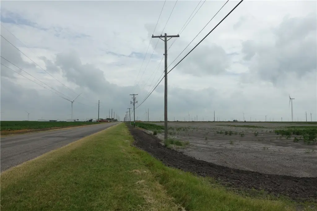
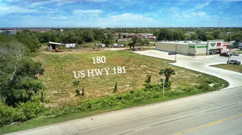
This 179.98-acre industrial land tract includes the surface estate only and is subject to an existing agricultural lease. The property has 839.33 feet along the Union Pacific Railroad, frontage on US Highway 181, and additional frontage on CR 1612 and CR 3567. City of Taft water is available at the site, and the property has no wind encumbrances.
The tract is located in San Patricio County, approximately 1.16 miles from ExxonMobil/Sabic’s Gulf Coast Growth Ventures 1.8 million metric ton ethane steam cracker plant. Its road and rail access places the property within the South Texas industrial corridor, with proximity to the Port of Corpus Christi La Quinta Terminal. Survey information is available for the parcel.
The tract is located in San Patricio County, approximately 1.16 miles from ExxonMobil/Sabic’s Gulf Coast Growth Ventures 1.8 million metric ton ethane steam cracker plant. Its road and rail access places the property within the South Texas industrial corridor, with proximity to the Port of Corpus Christi La Quinta Terminal. Survey information is available for the parcel.
Key Highlights
- 179.98‑acre industrial land tract
- 839.33 feet adjacent to the Union Pacific Railroad
- Frontage on US Highway 181, CR 1612, and CR 3567
Property Analytics
Current Use
Location Intelligence
Trade Area within ½ mile
Explore this area
Business Placement
Demographics for 78390, TX
5,447
Population
2,364
Households
2.3
Avg Household Size
40
Median Age
13%
College-Educated
76%
High-School Grad
201.6 sq mi
ZIP Area
27
Density / Sq Mi
$71,940
Median Household Income
$42,352
Median Earnings
$1,034
Median Rent
$134,200
Median Home Value
Market
Vacancy Rate% for Industrial in South region

Questions? Ask Rey
Realmo’s AI knows this listing — price, zoning, demand, history. Ask anything.




Frequently Asked Questions
What type of property is this?
Industrial land - Industrial land with railroad adjacency, multiple road frontages, and public water service to the site.
Where is this industrial land located?
The property is located at Hwy 181 CR 1612 CR 3567 lot Sec K Taft, TX.
What is the asking price?
The asking price for this property is $8,549,050.
What are key features of this property?
This property features: 179.98‑acre industrial land tract; 839.33 feet adjacent to the Union Pacific Railroad; Frontage on US Highway 181, CR 1612, and CR 3567



