Agricultural Land with Creek and
For Sale
$110,000
HIGHWAY 49 lot 0, Lineville, AL 36266
LAND - LINEVILLE, AL
Property SizeContact for details
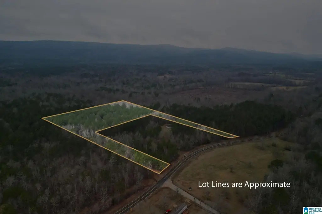
Lot Size9.35 Acres
Days on Market572
Property Features for HIGHWAY 49 lot 0
General Information
Property type
Land
Property subtype
Other
Zoning
Agricultural
Lot features
Interior Lot, Irregular Lot, Entire Parcel Only
Elementary school
LINEVILLE
Middle school
CENTRAL
High school
CENTRAL
Directions
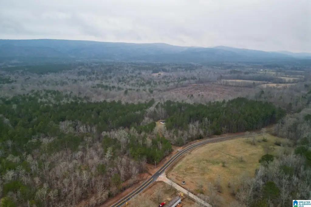
Take I20 to Oxford. Get off exit 188 toward Leon Smith Parkway. Turn Left onto Friendship Road. Turn Right on Jennifer Lane. Turn Right onto County Road 3, Turn left on AL-Hwy 49S. Go 2.8 miles, Turn left onto Ketchemedoggie Rd. Land is on the right just before Waits Road.
Subdivision
Clay County
Standard status
Active
APN
17.02.07.35.0.000.004.003
Lot size
9.35 Acres
Taxes and HOA fees
Tax Description
9 AC (D): BEG @ SW COR SW1 4-NW1 4 TH N 705.52 (D) TH E 1183.85 (D) TO W ROW AL HWY 49 TH S LY 69.81 (D) ALONG W ROW TH W 705.52 (D) TH S 585.52 (D) TH E 553 (D) TO W ROW AL HWY 49 TH S LY 60 (D) ALONG W ROW TH W 1007.14 (D) TO P.O.B. S35 T18S R8E DEED REF: 412 277
Legal Description
9 AC (D): BEG @ SW COR SW1 4-NW1 4 TH N 705.52 (D) TH E 1183.85 (D) TO W ROW AL HWY 49 TH S LY 69.81 (D) ALONG W ROW TH W 705.52 (D) TH S 585.52 (D) TH E 553 (D) TO W ROW AL HWY 49 TH S LY 60 (D) ALONG W ROW TH W 1007.14 (D) TO P.O.B. S35 T18S R8E DEED REF: 412 277
Utilities
Water source
Public
Listing Agency:
EXIT Realty Southern Select - Alabaster
(205) 913-0396
Listed By:
Sandy Mills · License #105765
(205) 810-5296
Added: Jan 29, 2025
Changed: Jul 7
Last Checked: Aug 24 at 8:06AM
MLS# 21410224
Copyright © 2026 Greater Alabama MLS. All rights reserved. All information provided by the listing agent/broker is deemed reliable but is not guaranteed and should be independently verified.
Investment Insights
Based on property information with market context.
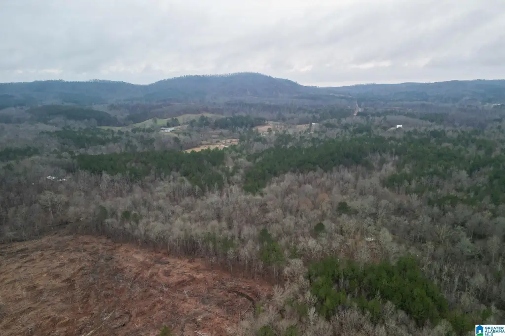
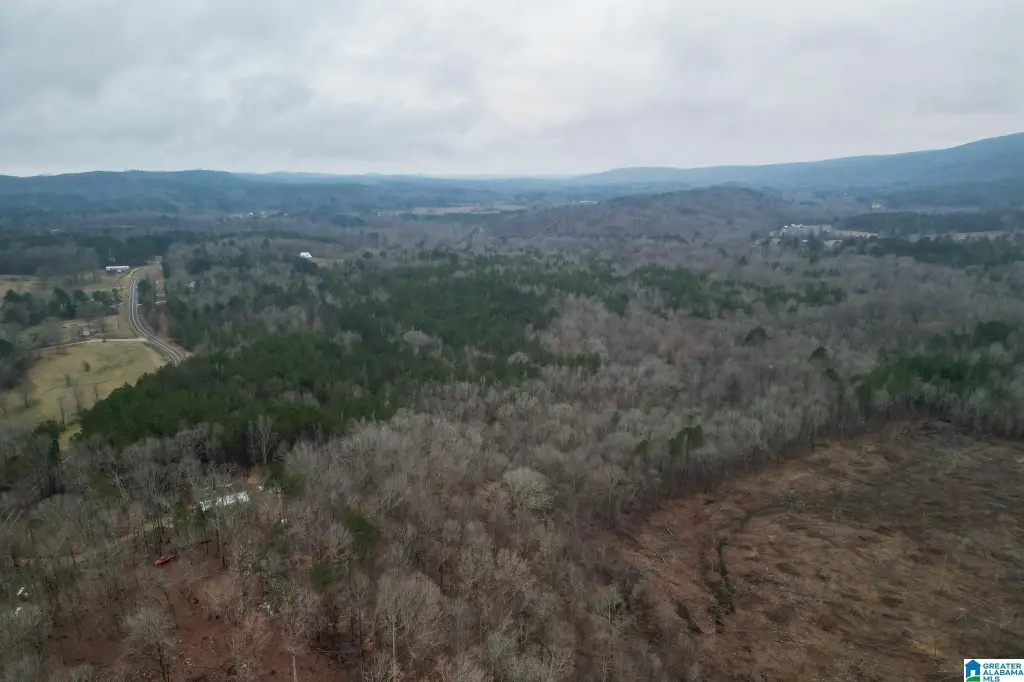
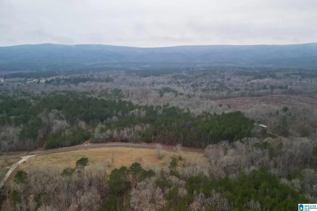
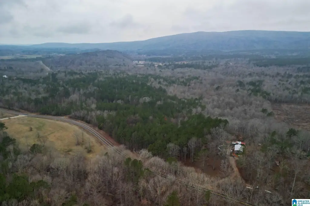
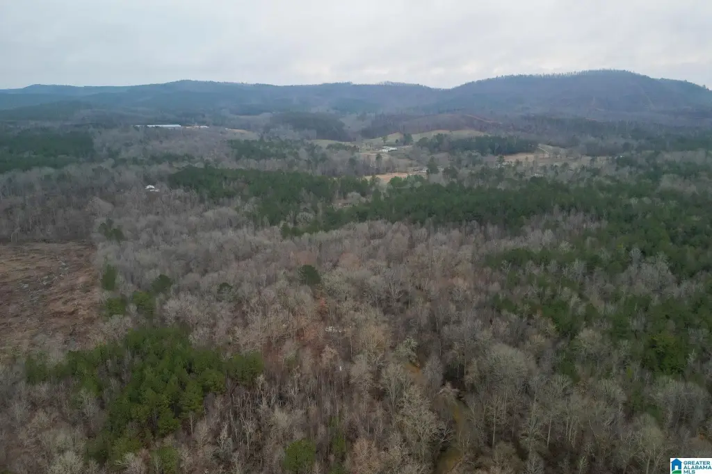
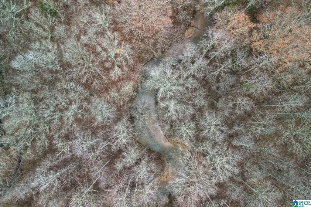
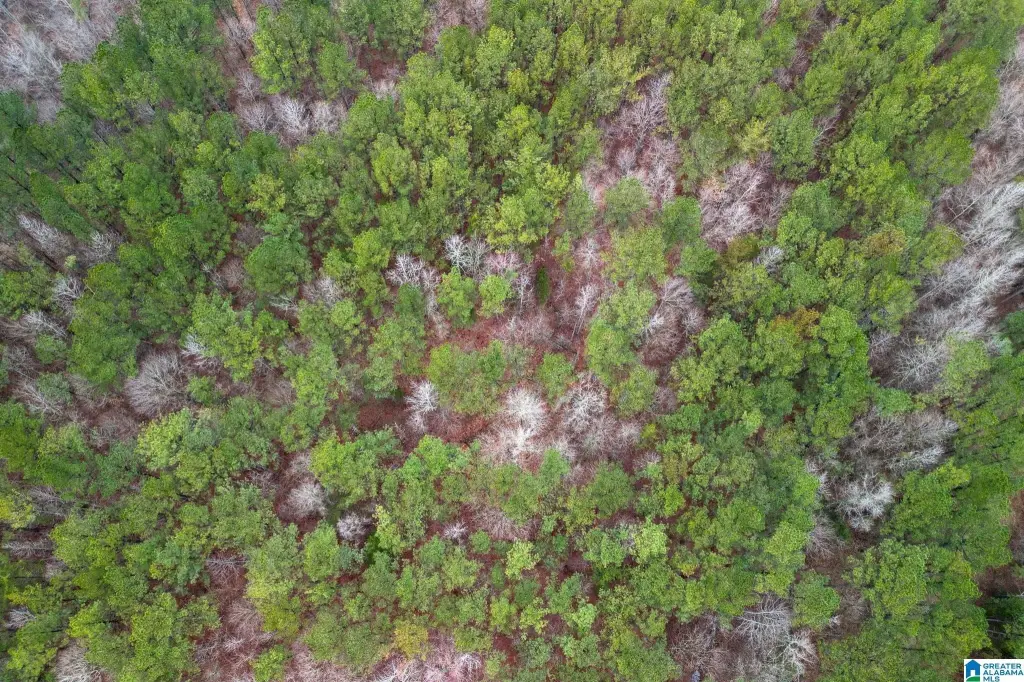
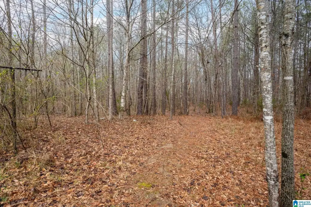
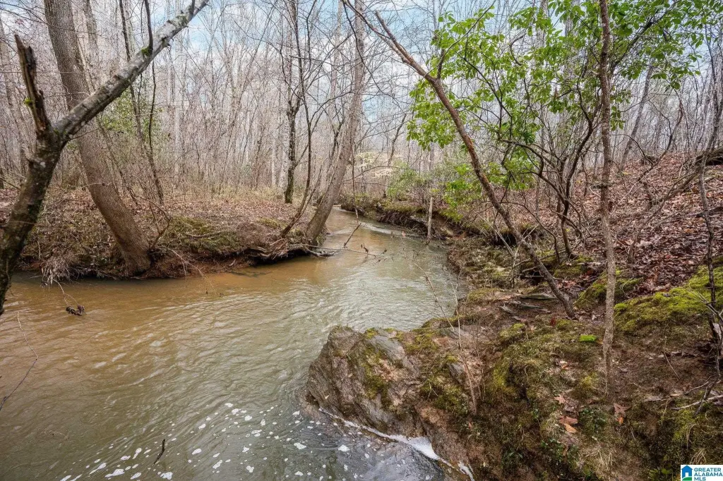
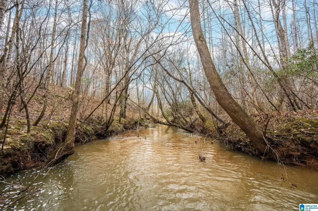
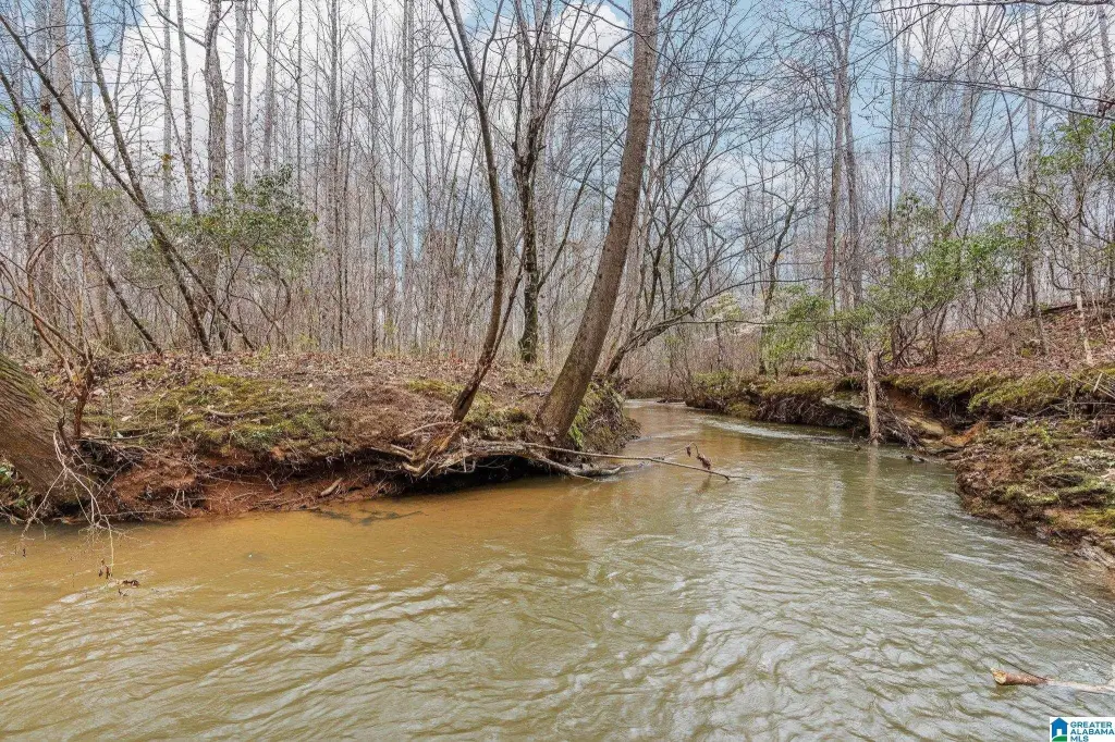
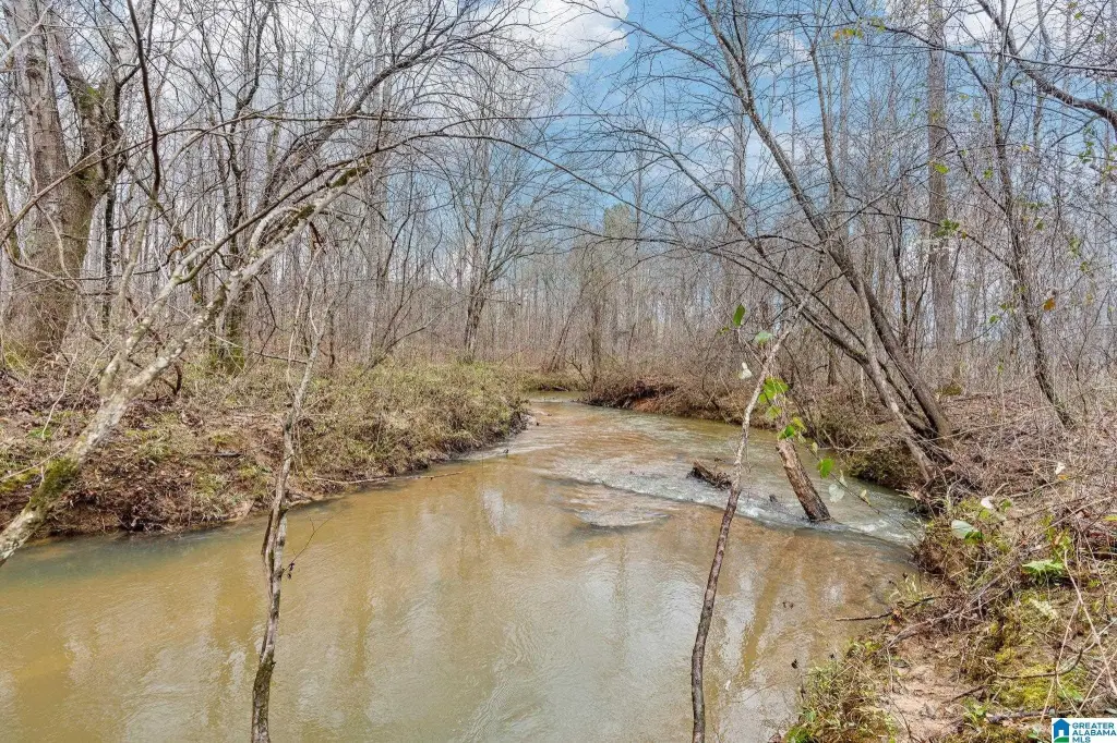
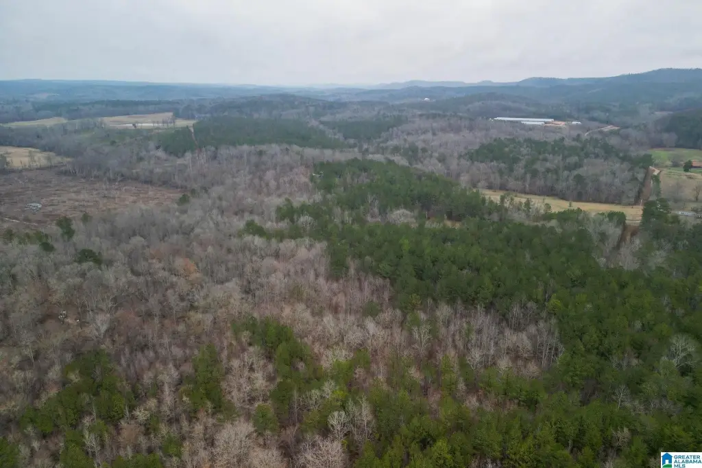
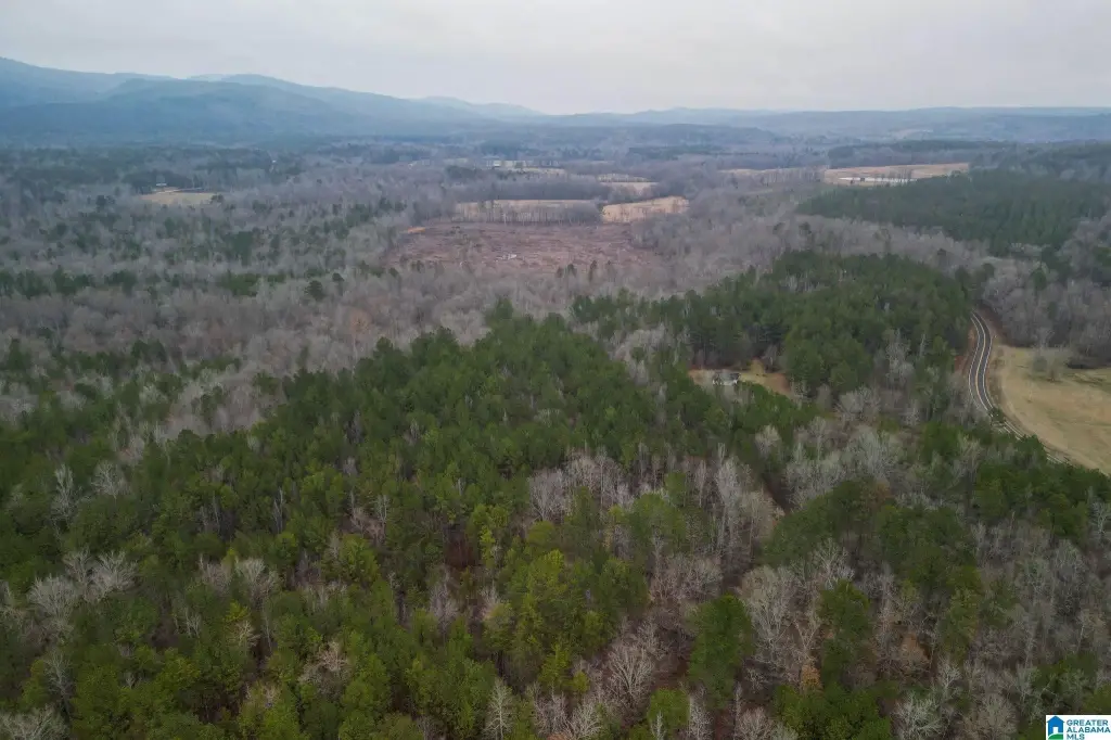
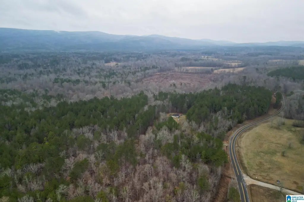
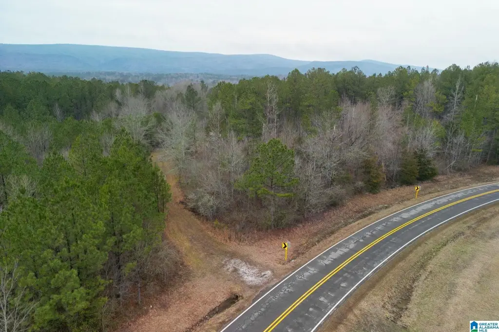
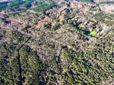
This vacant agricultural property spans 9.35 acres and features a natural landscape with rolling terrain, mature trees, and a large creek running through the site. The acreage provides space to shape an open area for building or to support outdoor uses.
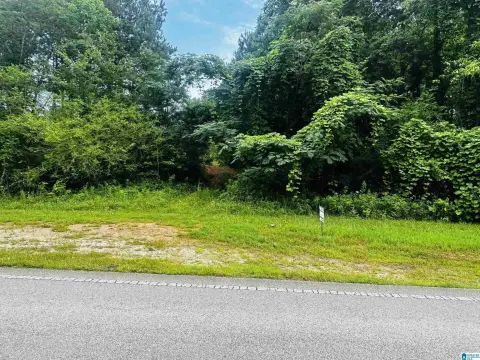
Located in Clay County, Alabama, the property is listed in Lineville with an address indicating Highway 49 access. It is positioned in a rural setting, designed for owners who want quiet, nature-forward surroundings while keeping their options open for multiple land-use directions.
With Agricultural zoning, the land can work for a range of owner objectives, including building a residence, starting a small farm, or using the property for recreation. The combination of creek frontage and mature tree cover also aligns with outdoor uses such as hunting and camping, as described in the listing remarks. For buyers seeking a countryside parcel with established natural features and room to expand, this site offers a straightforward foundation for planning your preferred use.
Located in Clay County, Alabama, the property is listed in Lineville with an address indicating Highway 49 access. It is positioned in a rural setting, designed for owners who want quiet, nature-forward surroundings while keeping their options open for multiple land-use directions.
With Agricultural zoning, the land can work for a range of owner objectives, including building a residence, starting a small farm, or using the property for recreation. The combination of creek frontage and mature tree cover also aligns with outdoor uses such as hunting and camping, as described in the listing remarks. For buyers seeking a countryside parcel with established natural features and room to expand, this site offers a straightforward foundation for planning your preferred use.
Key Highlights
- Vacant land in Clay County, Alabama, with a serene countryside setting
- Land features rolling hills and mature trees for a natural backdrop
- Includes a large creek running through the property
Property Analytics
Current Use
Location Intelligence
Trade Area within ½ mile
1
Businesses Nearby
Explore this area
Business Placement
Demographics for 36266, AL
5,812
Population
3,399
Households
1.7
Avg Household Size
44
Median Age
15%
College-Educated
84%
High-School Grad
196.5 sq mi
ZIP Area
30
Density / Sq Mi
$50,168
Median Household Income
$37,377
Median Earnings
$671
Median Rent
$185,000
Median Home Value

Questions? Ask Rey
Realmo’s AI knows this listing — price, zoning, demand, history. Ask anything.



Frequently Asked Questions
What type of property is this?
Agricultural land / Farmland - Nearly 10 acres of agricultural-zoned land with a creek and mature trees for farm or outdoor recreation use.
Where is this agricultural land / farmland located?
The property is located at HIGHWAY 49 lot 0 Lineville, AL.
What is the asking price?
The asking price for this property is $110,000.
What are key features of this property?
This property features: Vacant land in Clay County, Alabama, with a serene countryside setting; Land features rolling hills and mature trees for a natural backdrop; Includes a large creek running through the property


