Highway-Access Commercial
HWY 395 Kettle Falls, WA 99141
HWY 395, Kettle Falls, WA, 99141
$199,000
For Sale
$199,000
LAND - KETTLE FALLS, WA
Lot Size2.27 Acres
Days on Market151
Property Features for HWY 395
General Information
- Property type
- Land
- Property subtype
- Other
- Zoning
- Commercial
- Standard status
- Active
- APN
- 0326605
- Lot size
- 2.27 Acres
Taxes and HOA fees
- Tax Year
- 2025
- Tax Description
- Kettle Falls Tax #132
- Tax Annual Amount
- 167
Listing Agency
WESTERGARD REAL ESTATE
(509) 738-9378
150 W 3rd P.O. Box 1050, Kettle Falls, WA
Listed by
ROBYN M WESTERGARD · License #17565
(509) 675-5540
Added: Feb 19 Checked: Jul 20 at 4:06 am
MLS# 44922
Listing URL
Copyright © 2026 Northeast Washington Association of Realtor MLS. All rights reserved. All information provided by the listing agent/broker is deemed reliable but is not guaranteed and should be independently verified.
Investment Insights
Based on property information with market context.
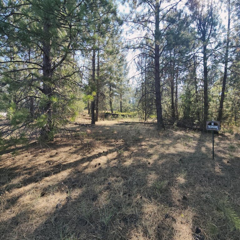
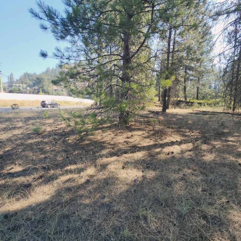
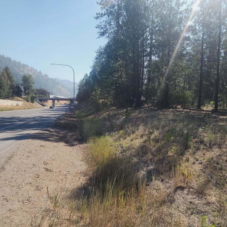
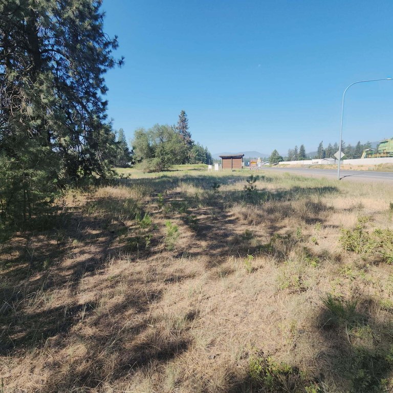
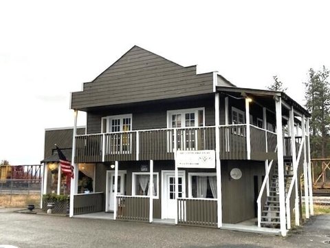
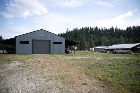
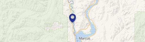
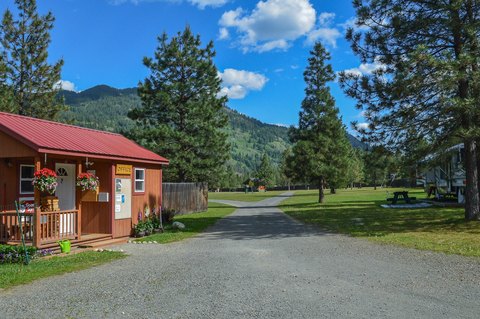
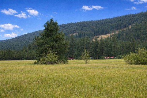
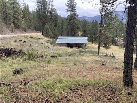
This offering is a commercial land parcel totaling 2.27 acres, presented for sale in Comm5 zoning. The property is described as having good access off Kettle Falls Hwy, offering a straightforward site configuration for commercial development planning.
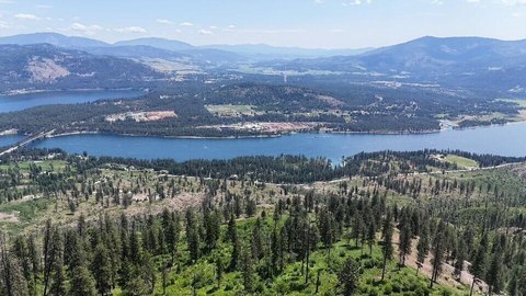
The parcel is located on Kettle Falls Hwy and is noted to be across from the Upper Boise Mill. That location provides a direct relationship to an established industrial use while maintaining convenient access to the highway corridor.
The Comm5 zoning designation makes this land a practical consideration for buyers seeking a commercially zoned site with highway connectivity in Kettle Falls. Seller financing is available OAC, which may be relevant for qualified buyers evaluating alternate financing structures. Prospective buyers and brokers should confirm permitted uses and development requirements with the appropriate local authorities prior to moving forward.
Key Highlights
- 2.27 acre property offers ample space.
- Good access for convenient entry and exit.
- Comm5 zoning allows for various business opportunities.
Property Analytics
Location Intelligence
Current Use by Public Records
Commercial land
Similar For Sale Nearby
FAQs
What type of property is this?
Commercial land - Commercial land with Comm5 zoning and highway access, positioned across from the Upper Boise Mill in Kettle Falls.
Where is this commercial land located?
The property is located at HWY 395 Kettle Falls, WA.
What is the asking price?
The asking price for this property is $199,000.
What are key features of this property?
This property features: 2.27 acre property offers ample space.; Good access for convenient entry and exit.; Comm5 zoning allows for various business opportunities.