Waterfront Land with Highway
HIGHWAY 280 lot 0 Childersburg, AL 35044
HIGHWAY 280 lot 0, Childersburg, AL, 35044
$129,000
For Sale
$129,000
LAND - CHILDERSBURG, AL
Lot Size1.17 Acres
Days on Market71
Property Features for HIGHWAY 280 lot 0
General Information
- Property type
- Land
- Property subtype
- Other
- Zoning
- Unused and Undeveloped
- Standard status
- Active
- APN
- 2204184000004000
- Lot size
- 1.17 Acres
Taxes and HOA fees
- Tax Description
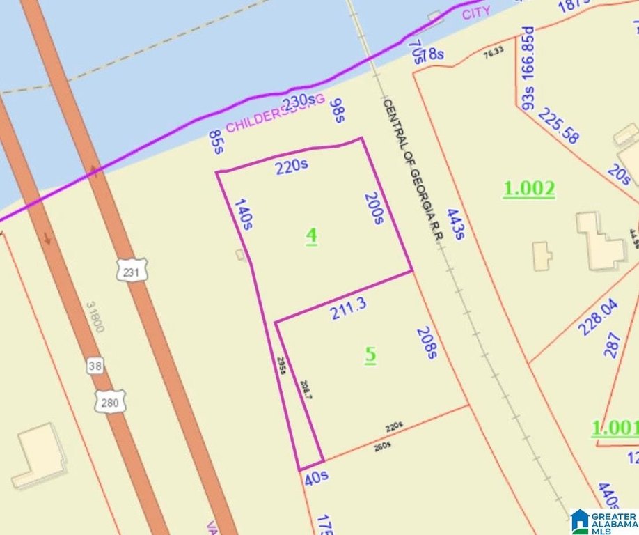
- 435'X220' (IRR) COM AT INT E R/W U.S. HWY 280 & TH S BANK OF COOSA RIVER S18 T20 R3
Utilities
- Utilities
- Cable Available
- Water source
- Public
- Water front
- 1
Listing Agency
Keller Williams Realty Vestavia
(205) 397-6500
3595 Grandview Pkwy, Suite 250, Birmingham, AL
Listed by
Stephanie Harvel · License #138155
(256) 267-7065
Added: May 12 Updated: Jun 3 at 5:29 pm Checked: Jul 21 at 3:06 am
MLS# 21452716
Listing URL
Copyright © 2026 Greater Alabama MLS. All rights reserved. All information provided by the listing agent/broker is deemed reliable but is not guaranteed and should be independently verified.
Investment Insights
Based on property information with market context.
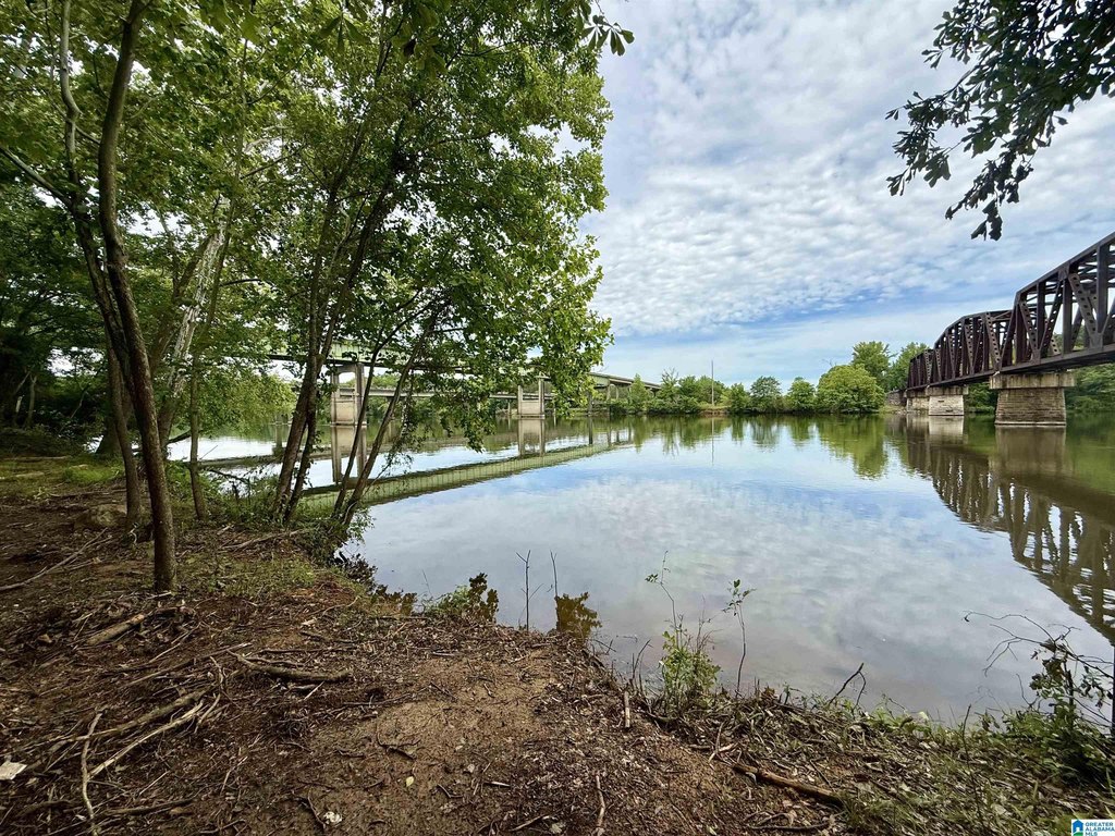
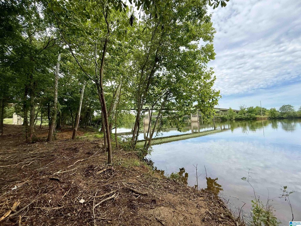
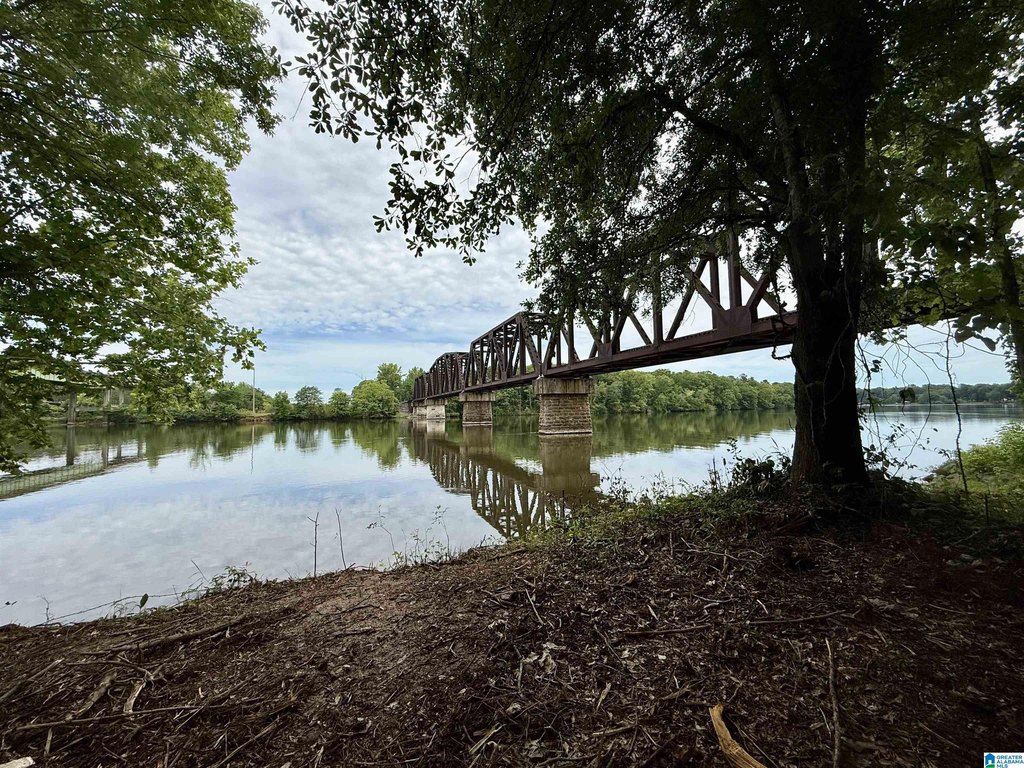
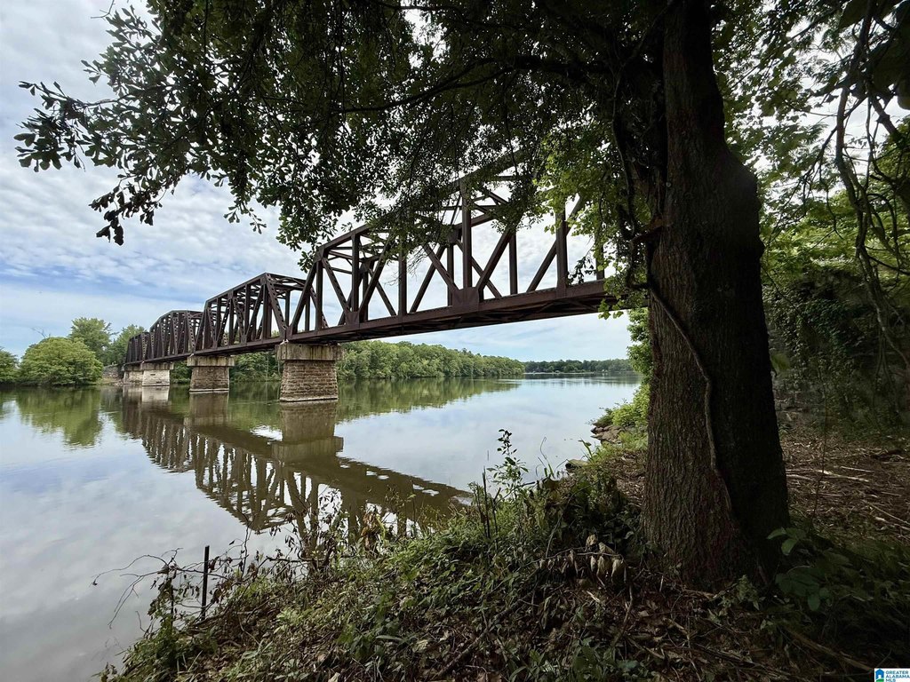
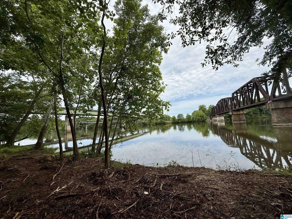
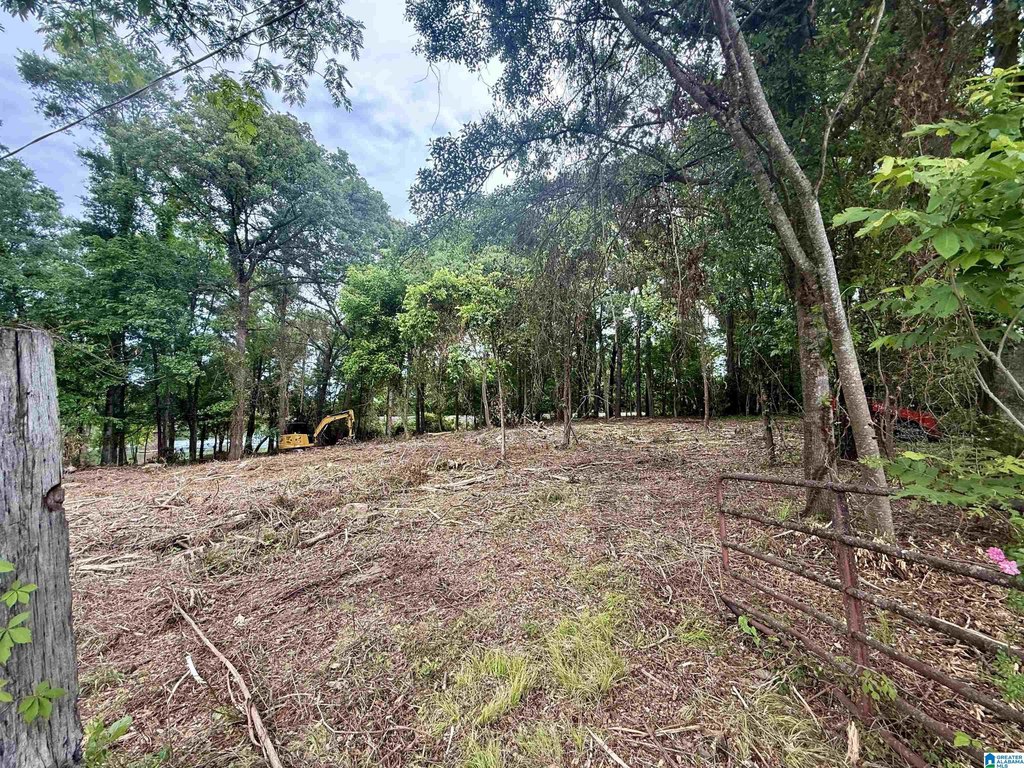
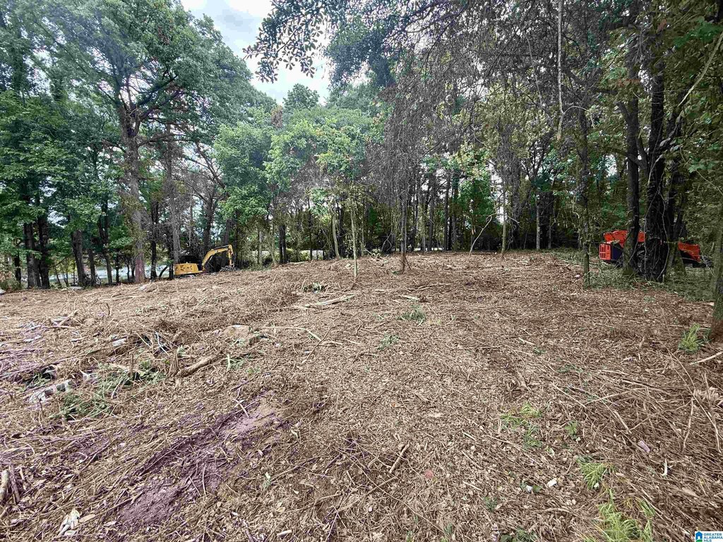
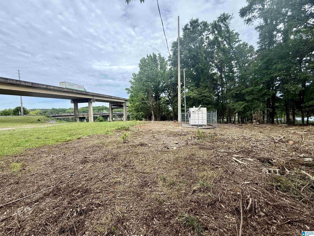
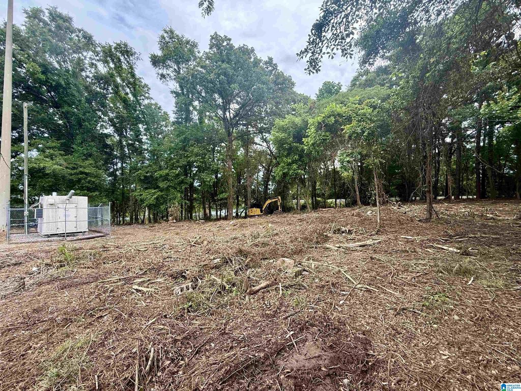
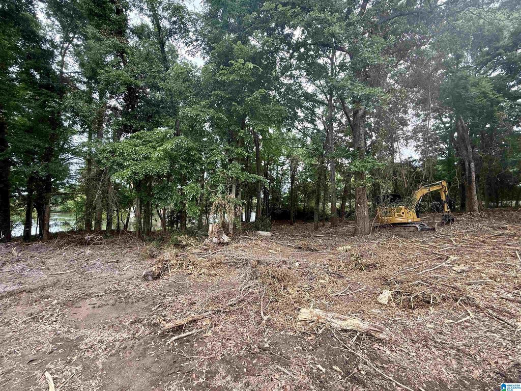
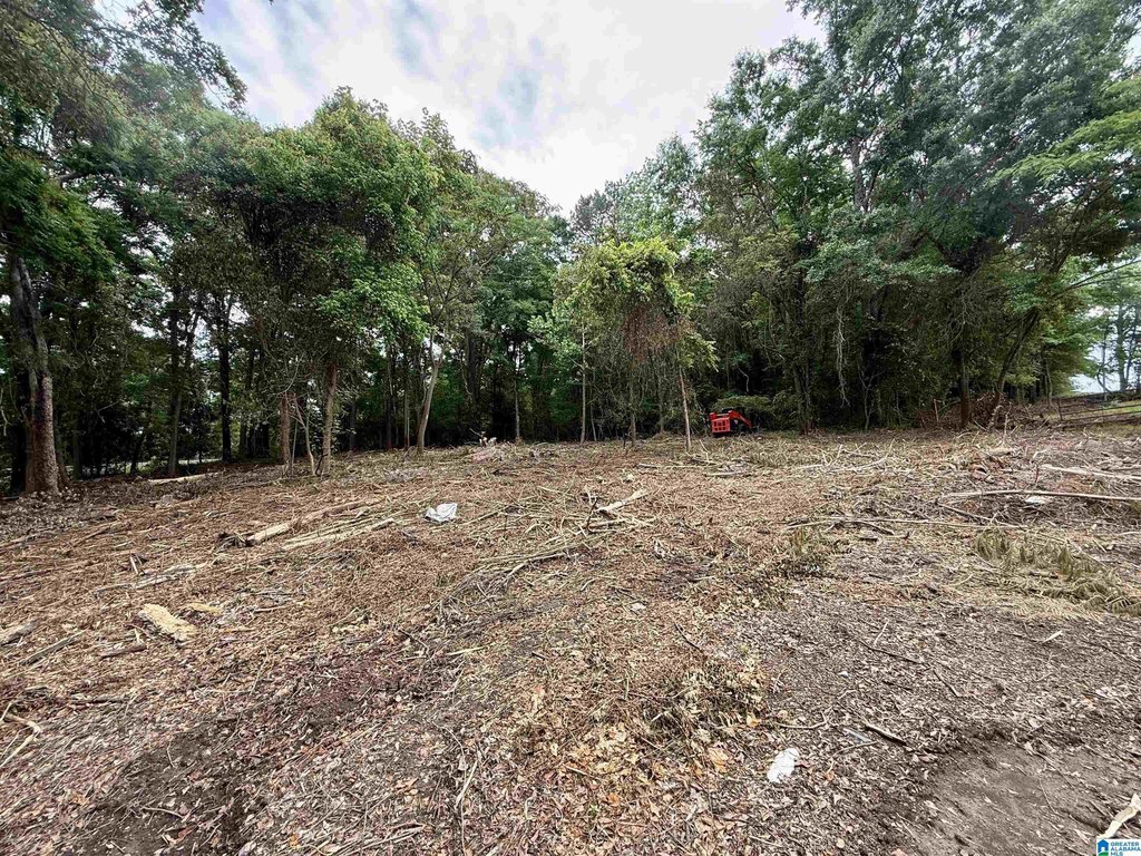
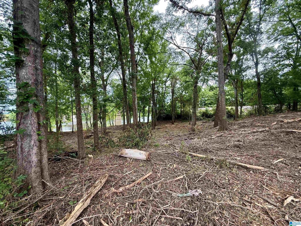
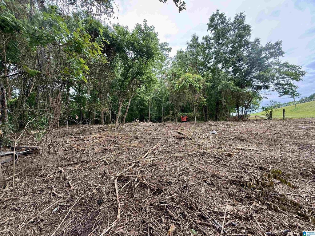
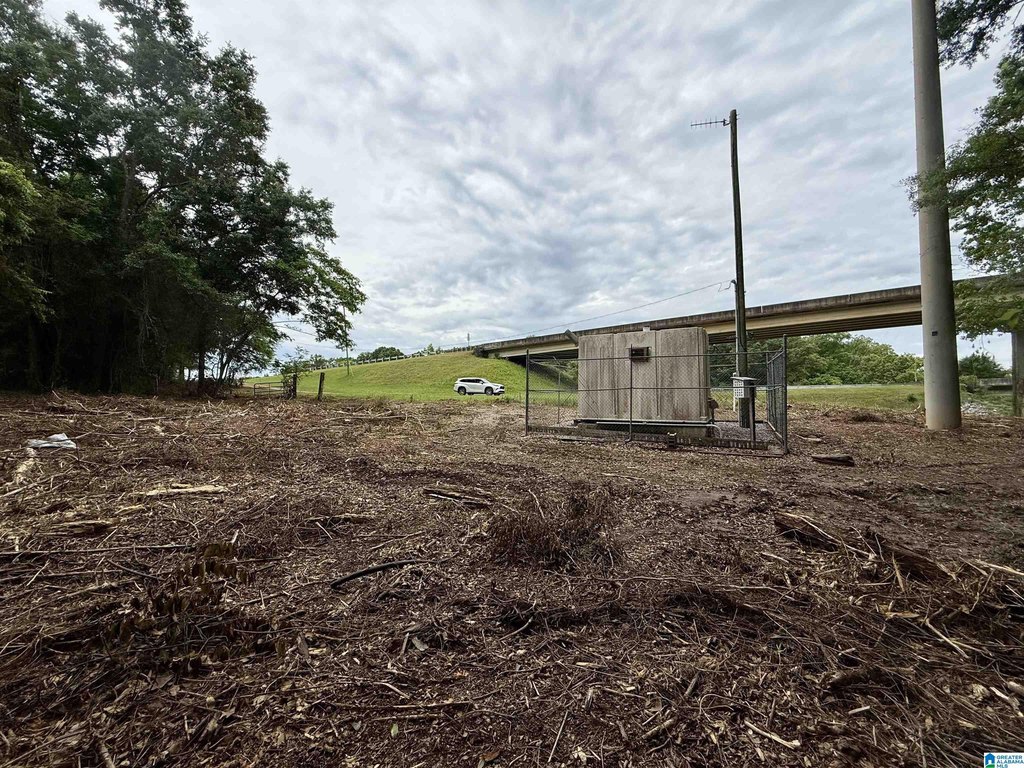
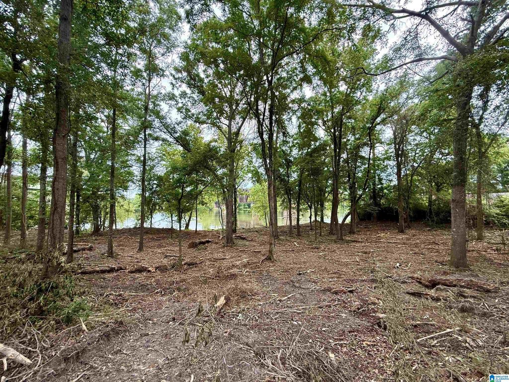
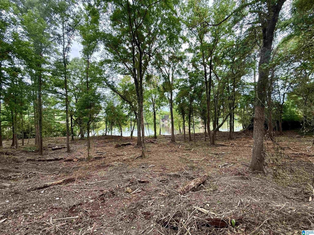
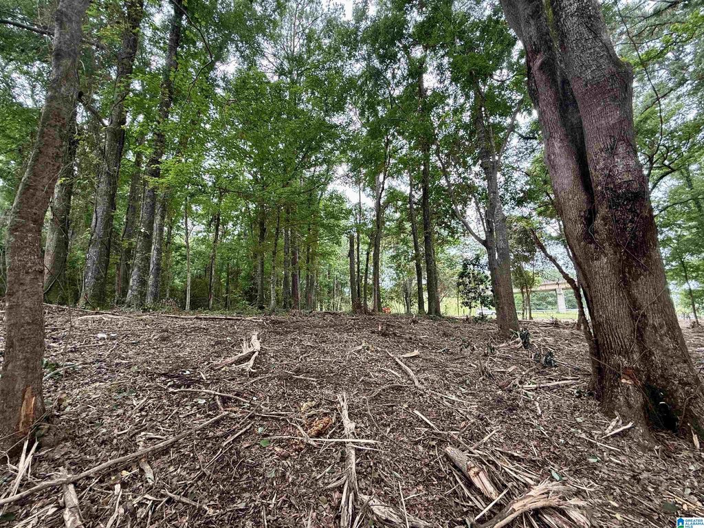
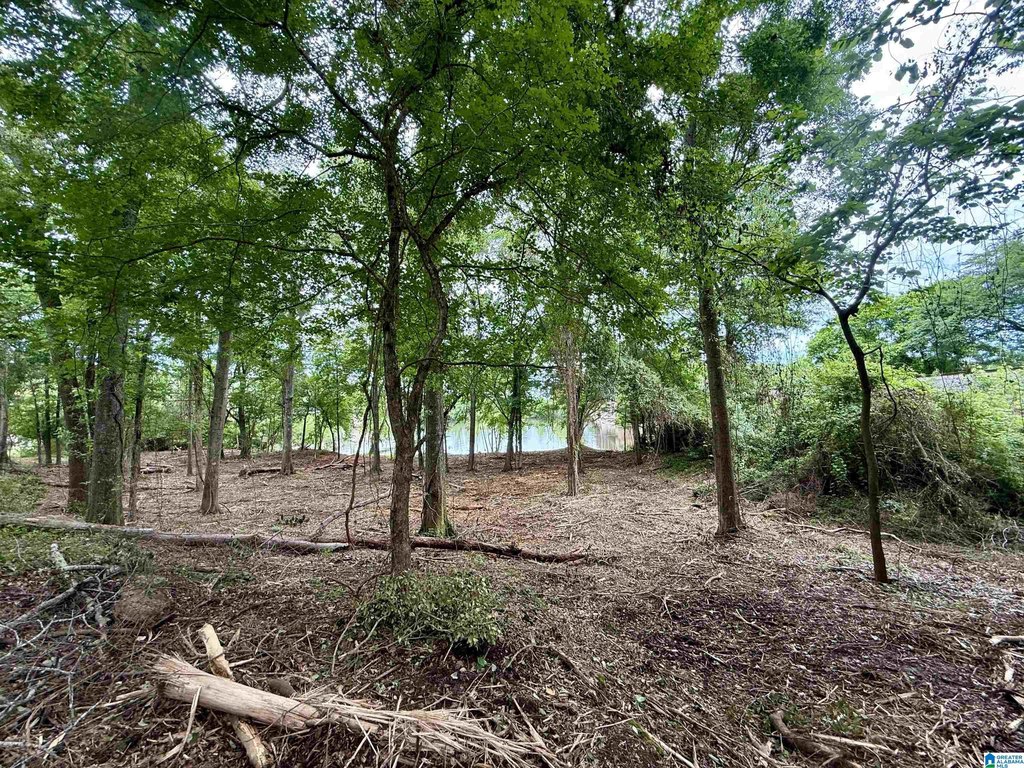
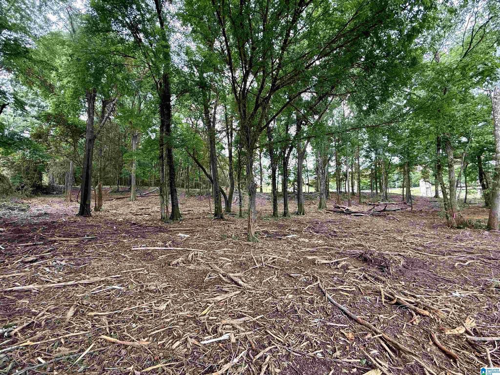
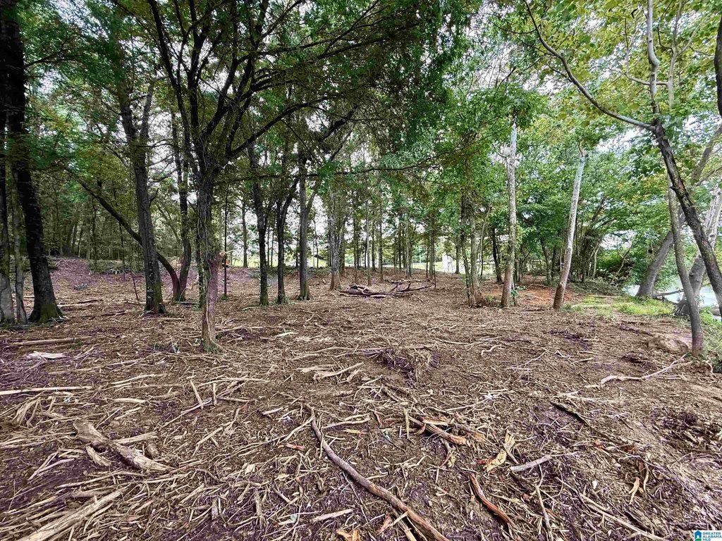
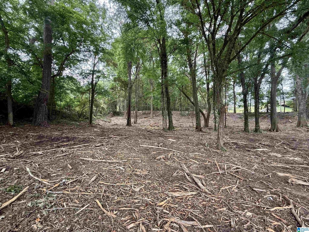
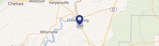
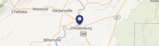
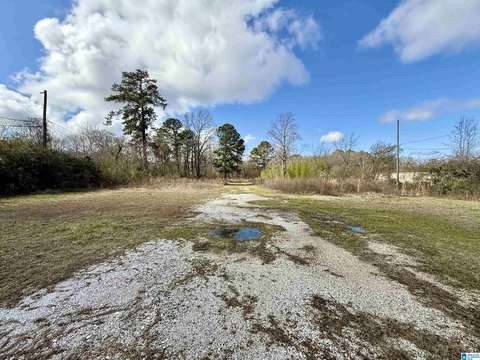
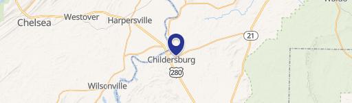
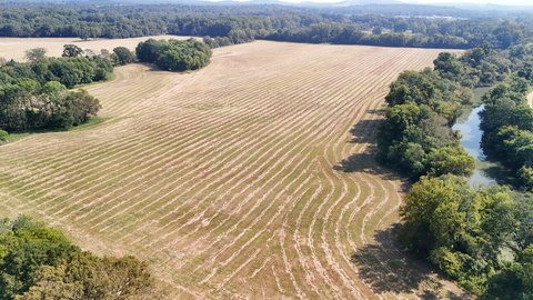
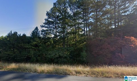
This property is an undeveloped waterfront lot totaling approximately 1.17 acres along the Coosa River/Lay Lake. The site has about 212 feet of water frontage and approximately Highway 280 frontage, with a gently sloping grade that supports practical access to the water. The property was recently mulched, with scattered trees remaining, and the tax records currently list it as unused and undeveloped.
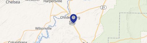
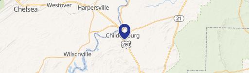
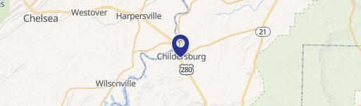
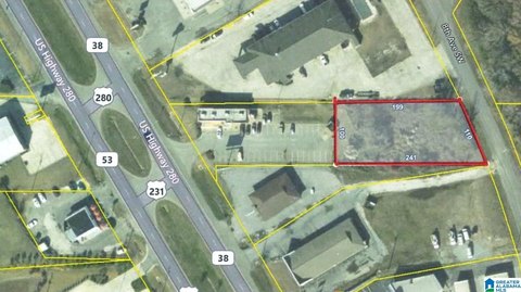
The lot is located beside the river bridge in Childersburg, providing convenient access from Highway 280. A portion near the water, approximately 30 feet into the property, is located in the flood zone, while the majority of the site is outside the flood zone. The property is also described as minutes from downtown and Harpersville.
Because zoning is listed as “unused and undeveloped,” this offering is best suited for buyers who want to evaluate development possibilities on-site. Buyer and buyer’s agent are advised to verify zoning, restrictions, and intended use, including how the limited flood-zone portion may impact planning. Overall, it presents a straightforward land option where water frontage and major road frontage are both key attributes.
Key Highlights
- 1.17+/- acre waterfront lot on the Coosa River/Lay Lake in Childersburg
- Approximately 212 ft of water frontage and additional Highway 280 frontage
- Gently sloping lot with easy access to the water
Property Analytics
Property Profile
Location Intelligence
Current Use by Public Records
Waterfront Land
Similar For Sale Nearby

FAQs
What type of property is this?
Waterfront Land - Gently sloping Coosa River lot with water frontage and Highway 280 access, suited for buyers seeking an undeveloped site.
Where is this waterfront land located?
The property is located at HIGHWAY 280 lot 0 Childersburg, AL.
What is the asking price?
The asking price for this property is $129,000.
What are key features of this property?
This property features: 1.17+/- acre waterfront lot on the Coosa River/Lay Lake in Childersburg; Approximately 212 ft of water frontage and additional Highway 280 frontage; Gently sloping lot with easy access to the water