Hickory Falls Road, Blue Ridge, VA 24064
- Added:
- Feb 10, 2026
- Days on Market:
- 131
- Last Refresh:
- Jun 21 at 5:06 am
Property Features for Hickory Falls Road
General Information
- Property type
- Land
- Property subtype
- Other
- Zoning
- AP
- Standard status
- Active
- APN
- 102-1-2H
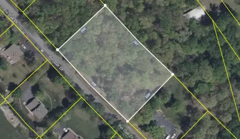
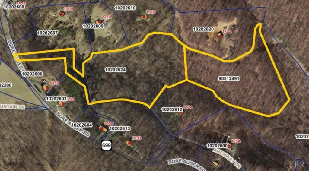
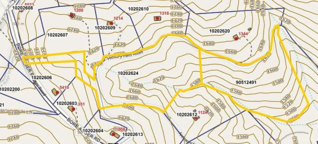
- Lot size
- 17.28 Acres
Taxes and HOA fees
- Tax Description
- Lot 5 BLK C Sec 1- 9.57ac and new lot A 7.71ac Hickory Ridge

Listing agent Jimmy Miller License #0225201733 (434) 385-6655
Listing office John Stewart Walker, Inc 18013 Forest Road STE E08, Lynchburg, VA (434) 385-6655
Listing date Feb 10, 2026
Copyright © 2026 Lynchburg Virginia MLS. All rights reserved. All information provided by the listing agent/broker is deemed reliable but is not guaranteed and should be independently verified.
HighLights
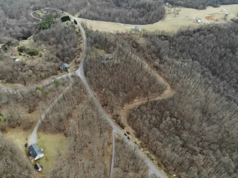
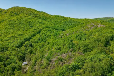
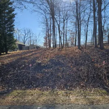
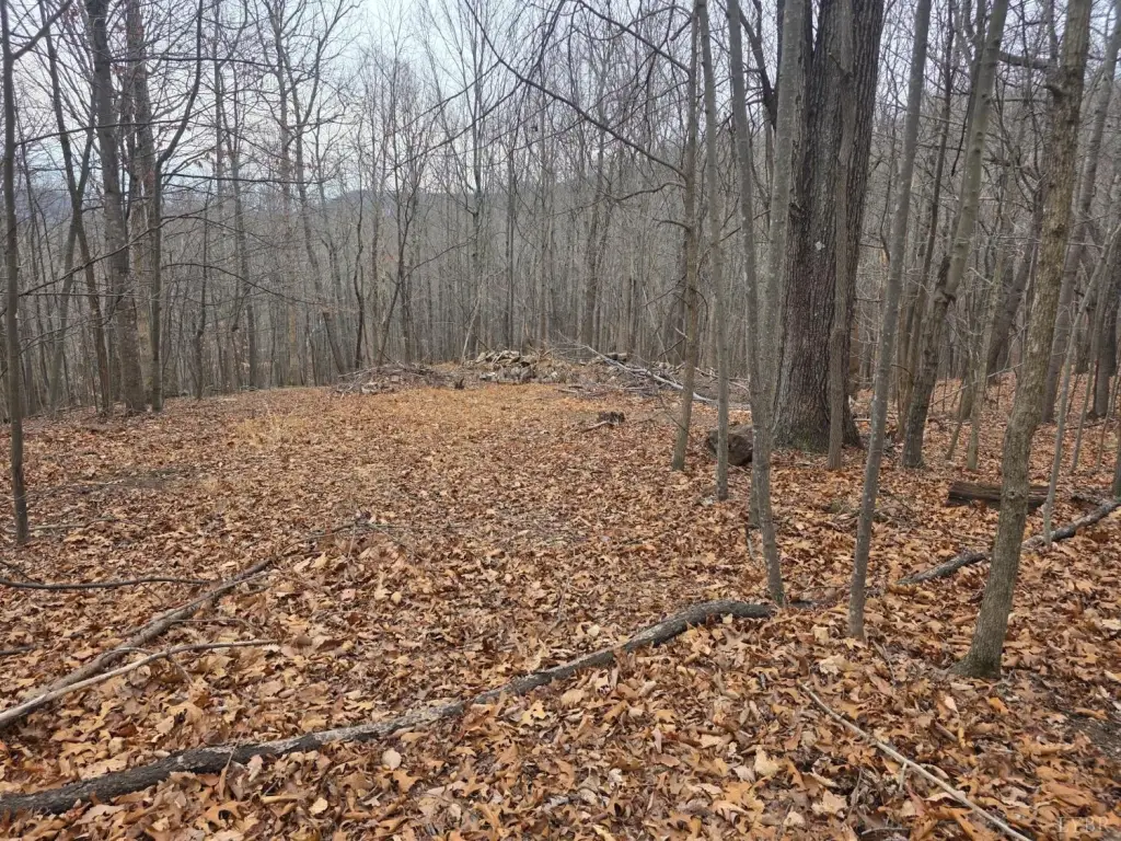
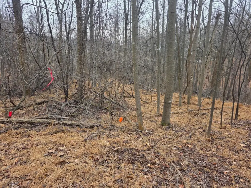
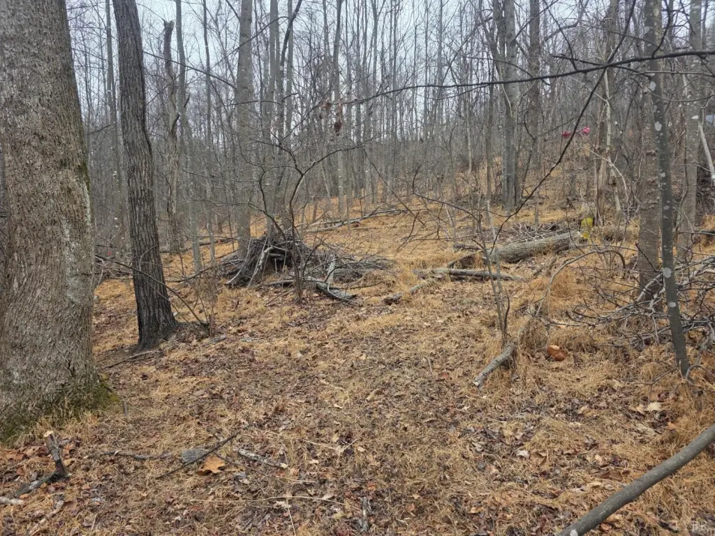
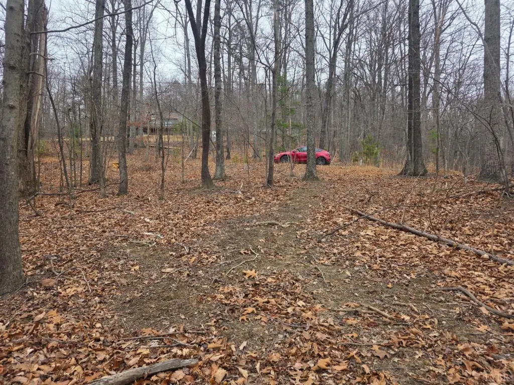
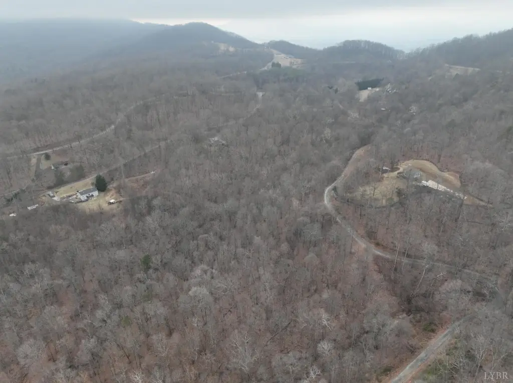
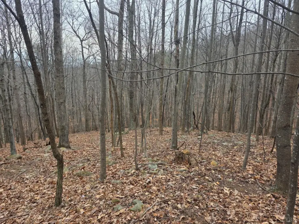
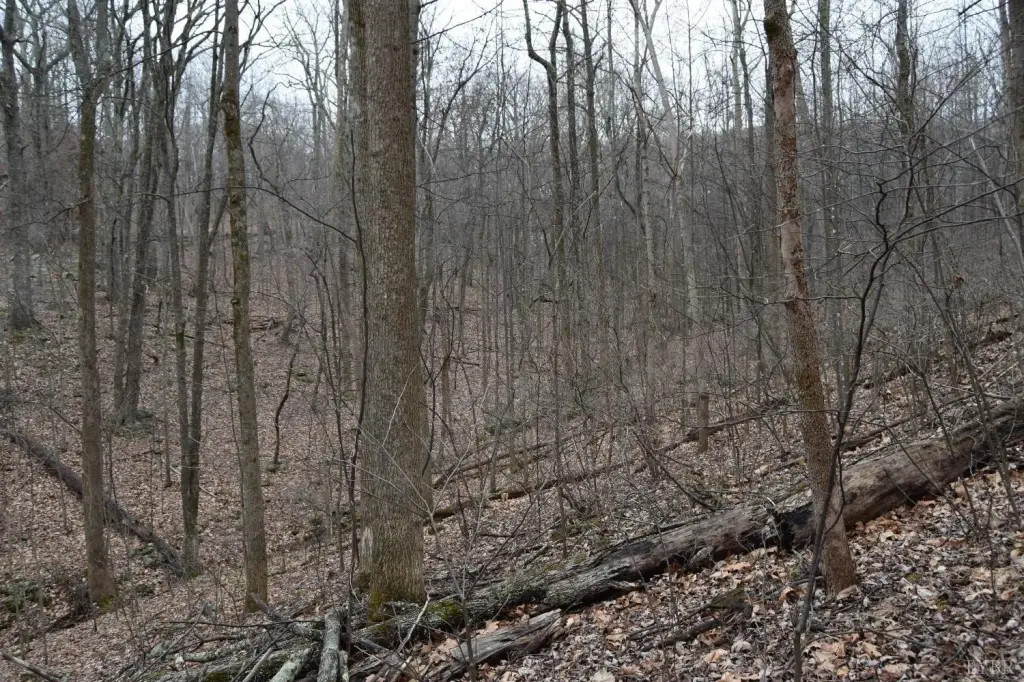
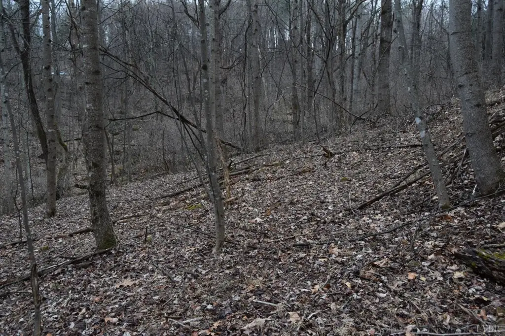
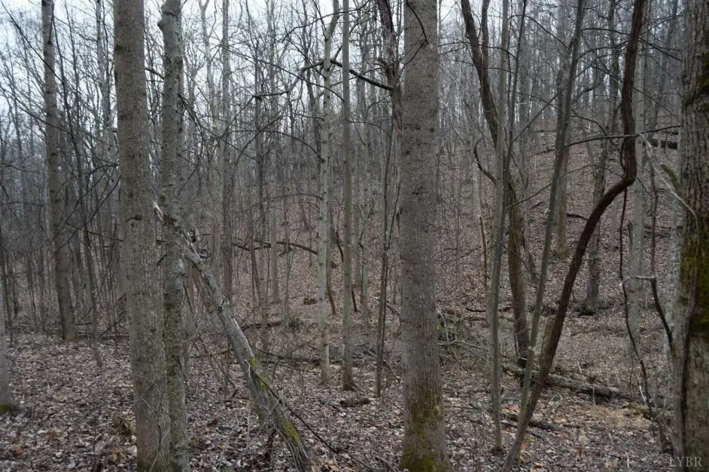
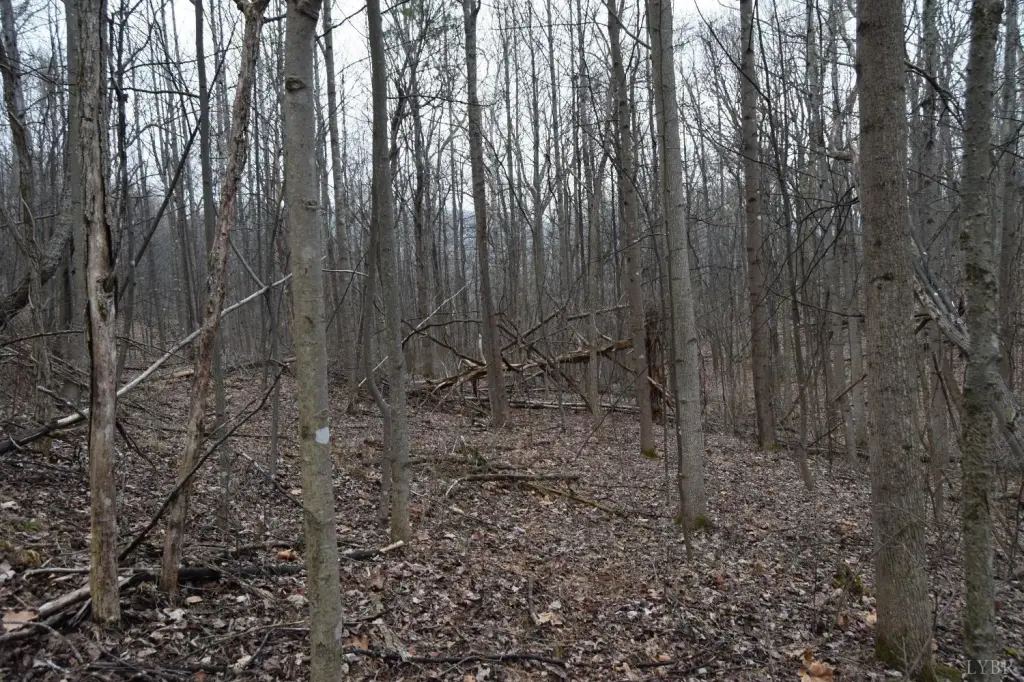
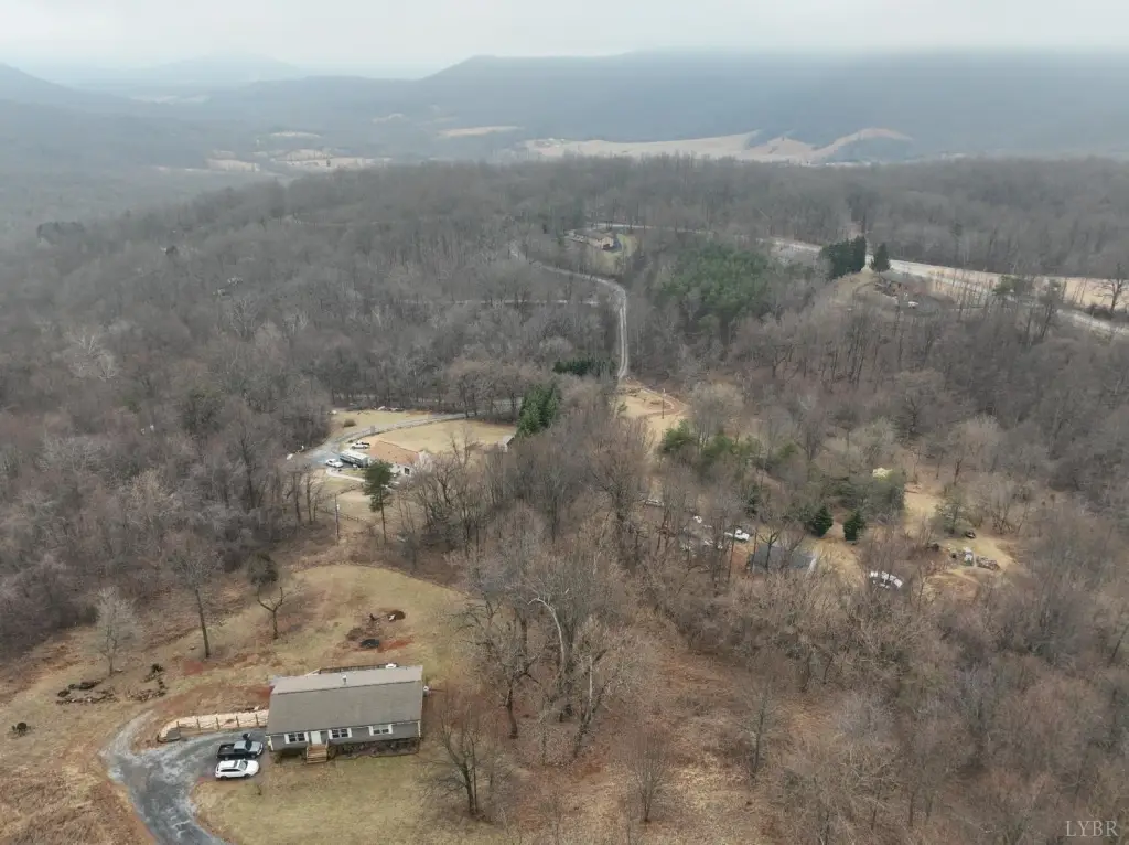
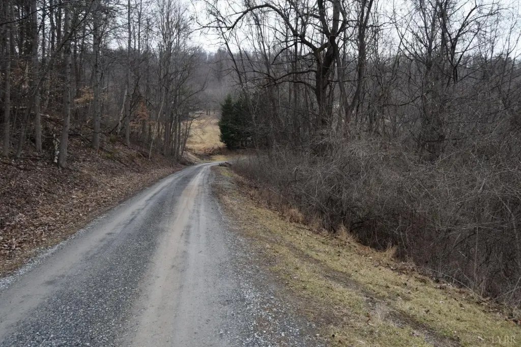
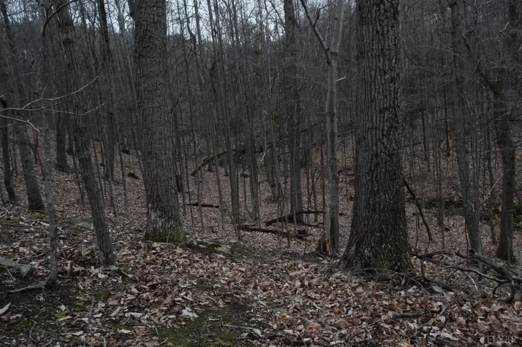
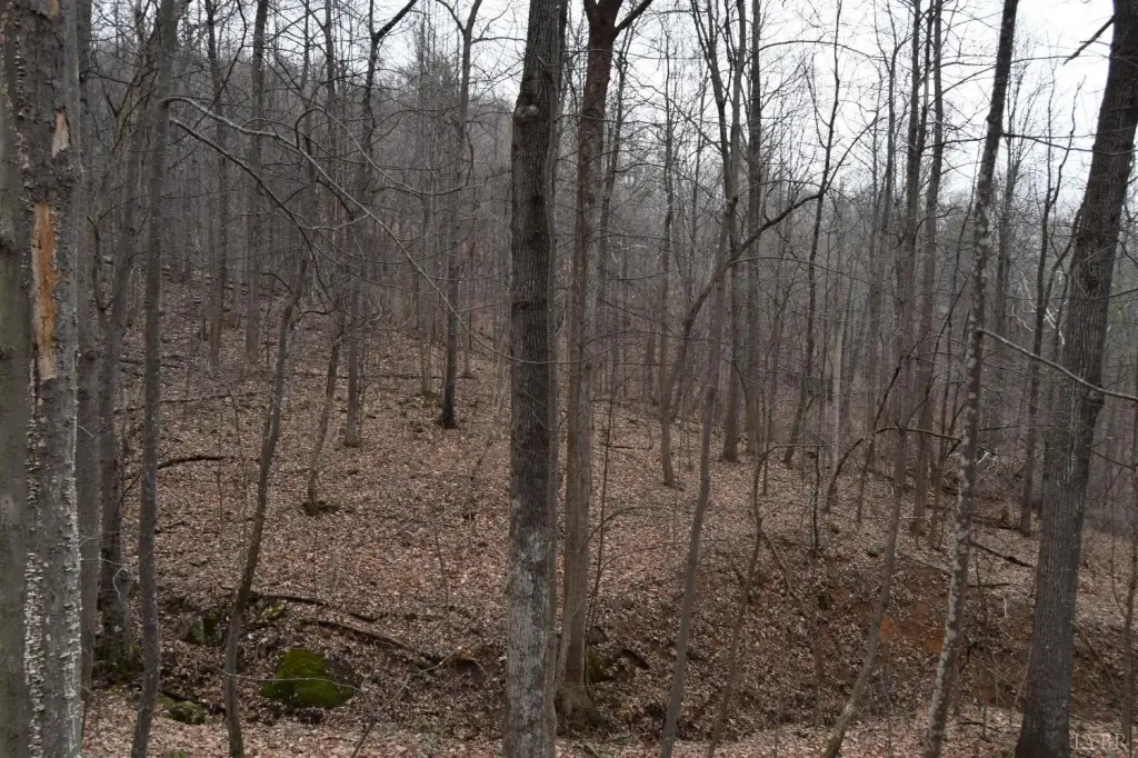
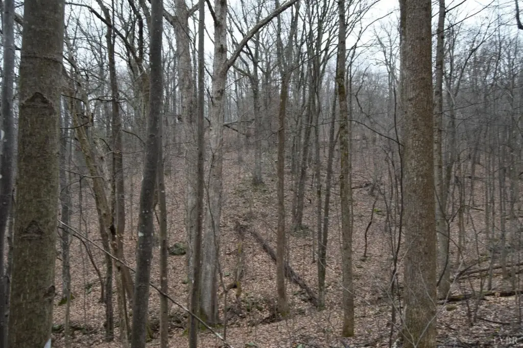
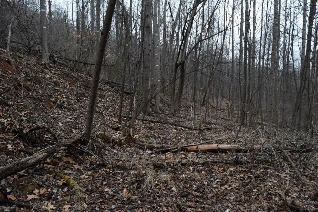
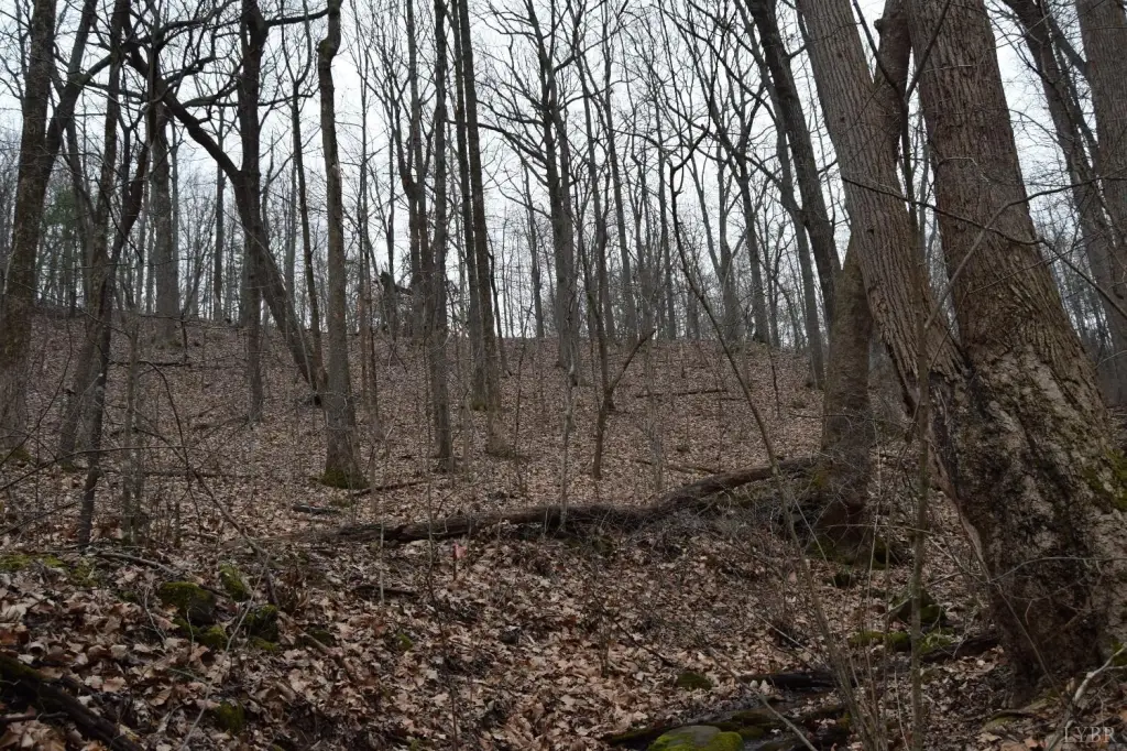
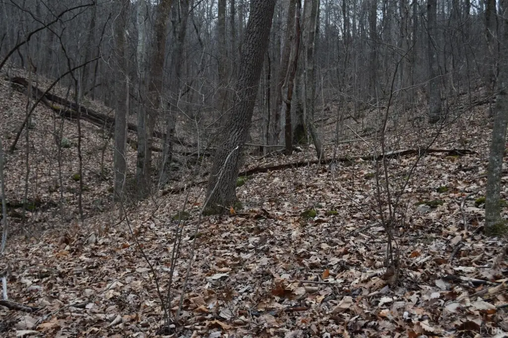
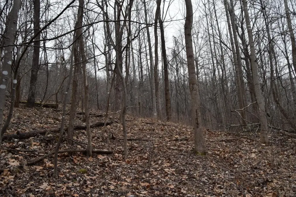
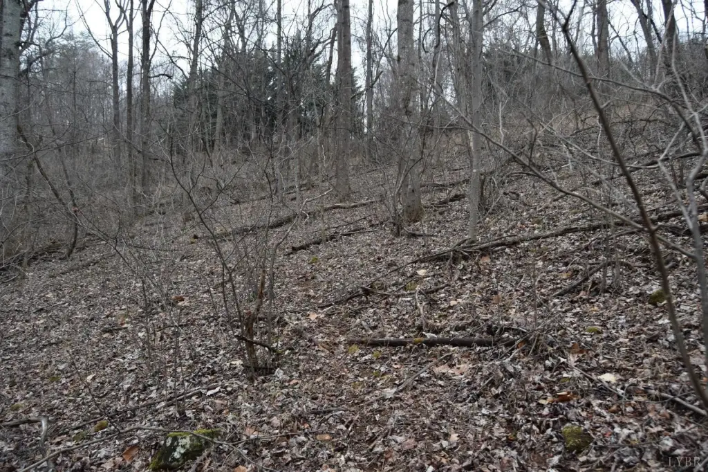
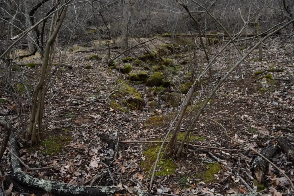
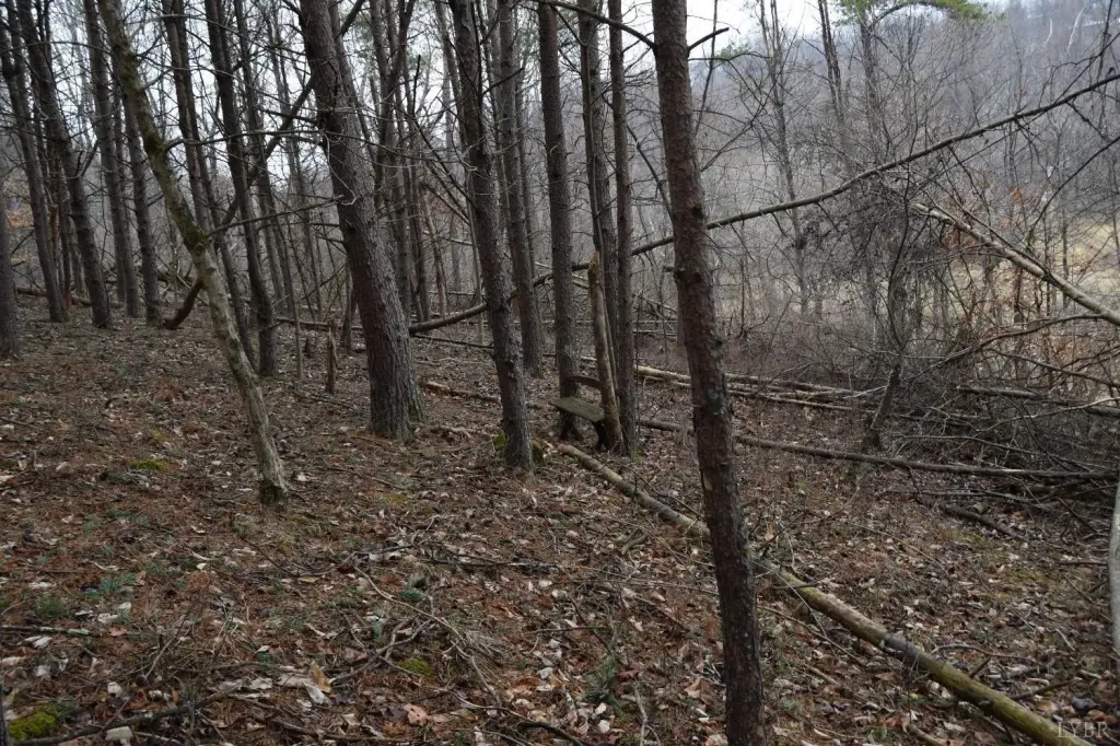
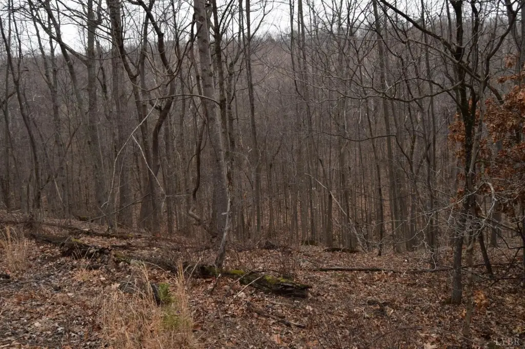
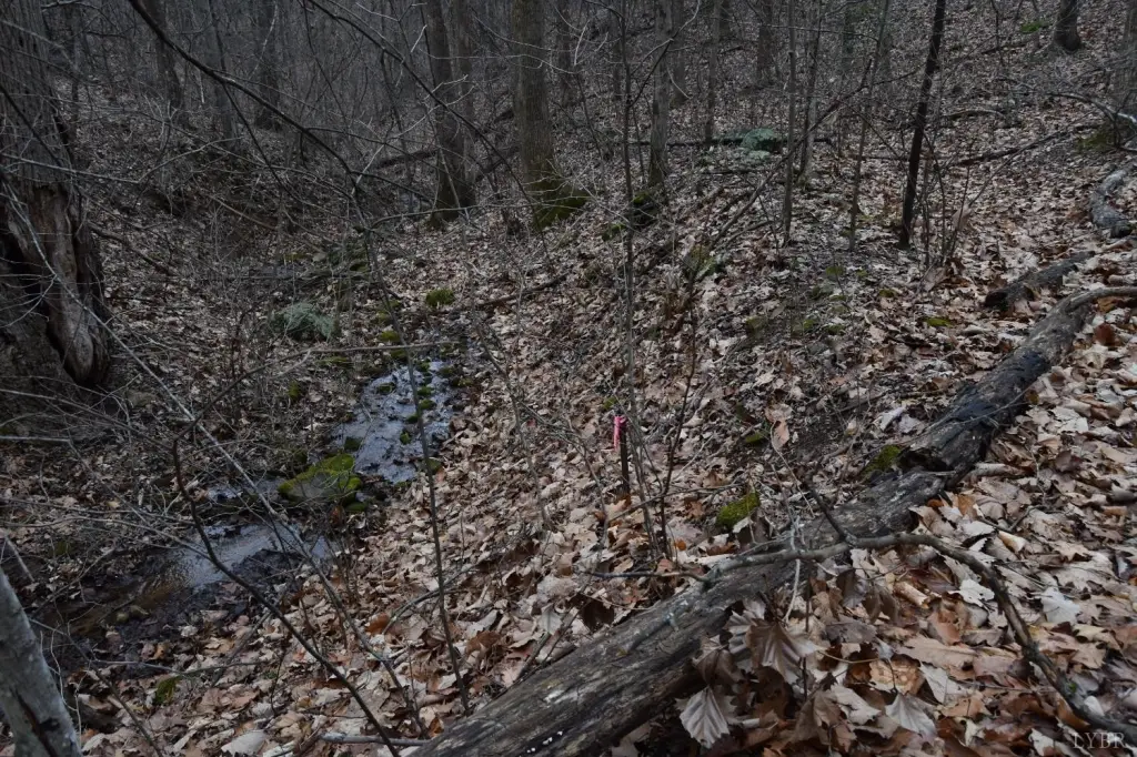
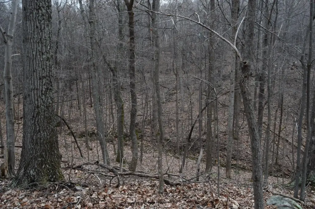
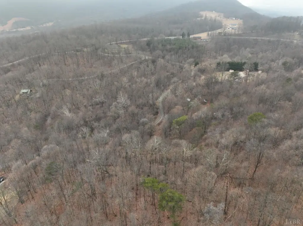
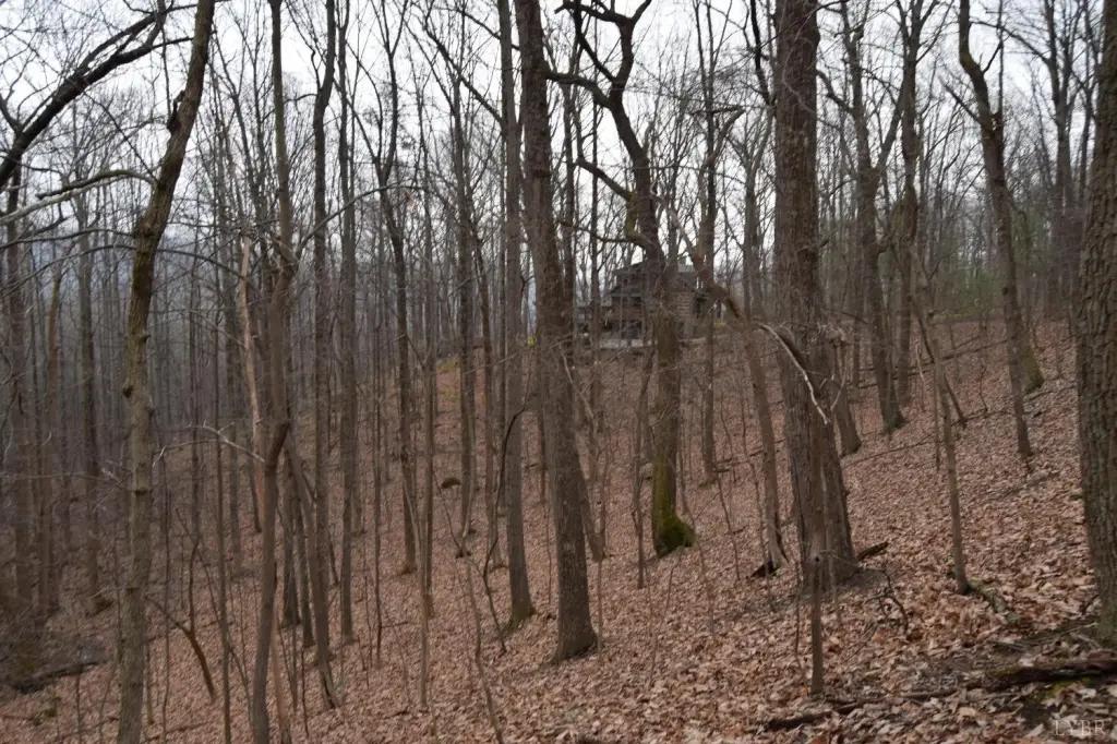
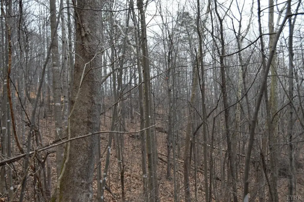
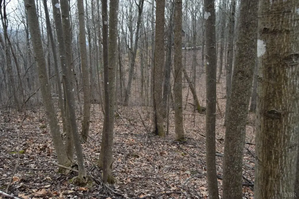
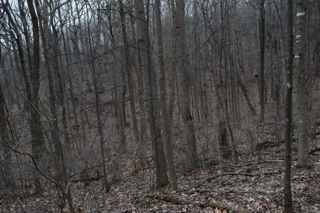
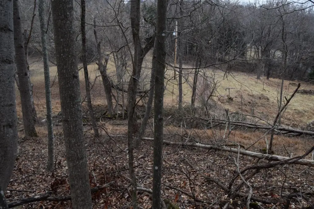
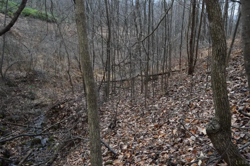
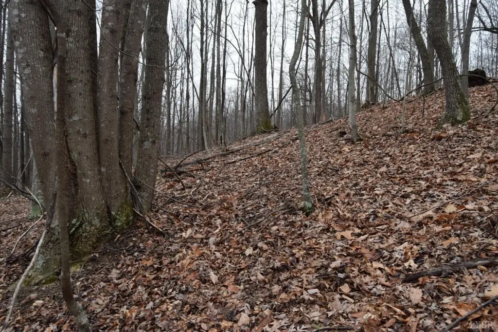
- Wooded 17‑acre property split into 2 tracts, with a homesite hidden back in the woods overlooking the wet weather creek bottom
- Both tracts could be built on; each tract includes a perk test
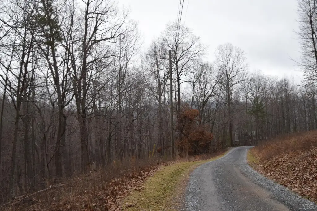
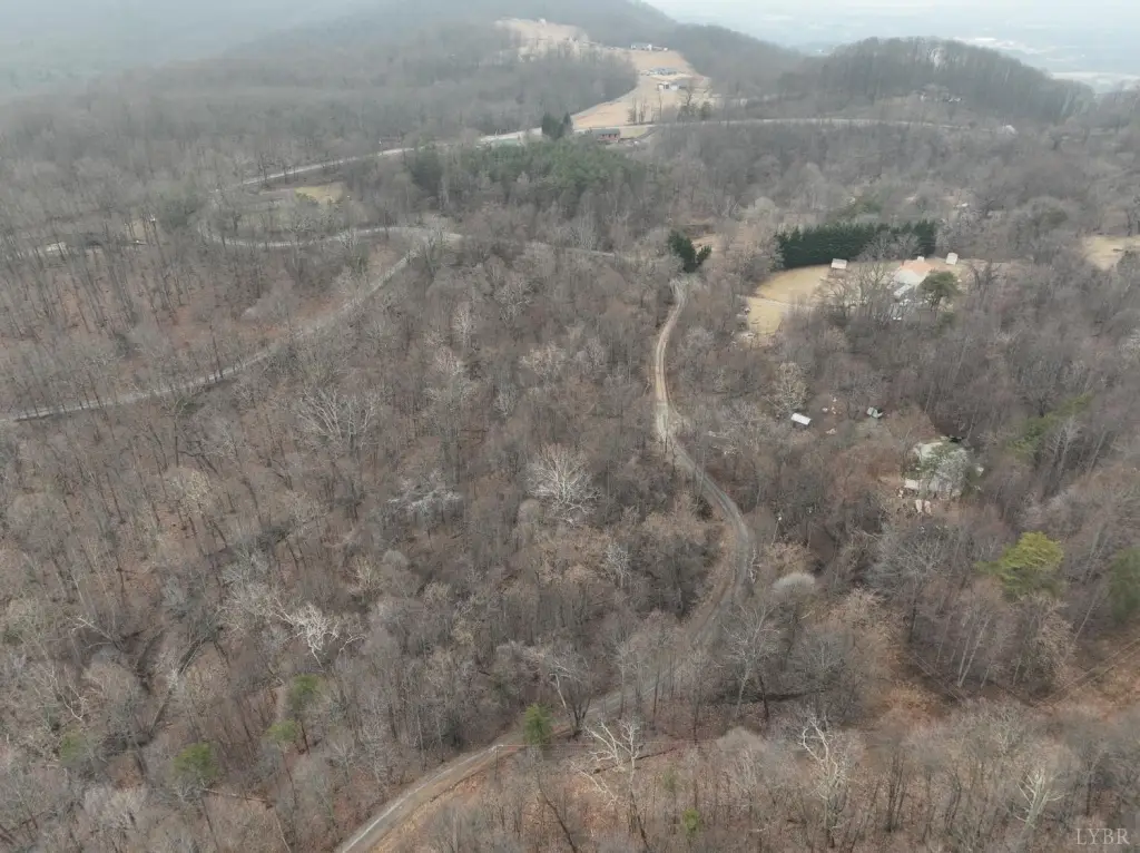
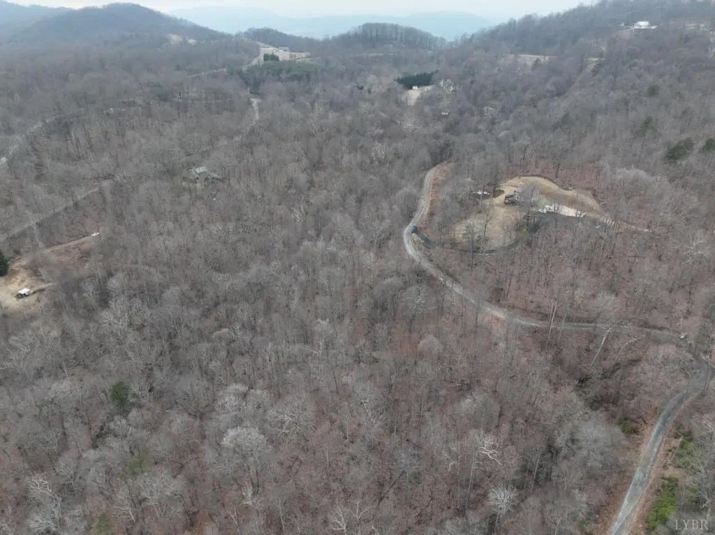
- Located about 6 miles from 460 in Montvale and 3.5 miles from 460 near Blue Ridge
- About 8 minutes to the Blue Ridge Parkway, 11 minutes to Lowes, and 9 minutes to Food Lion
- Lightly restricted; restrictions include no doublewides or mobiles
- Owner financing may be available for qualified buyers
Overview
The land is located near Blue Ridge, Virginia, in Bedford County, with stated access conveniences including proximity to US-460 in both Montvale and near Blue Ridge. The property is also described as being minutes from the Blue Ridge Parkway and nearby retail including Lowes and Food Lion, with easy access to Roanoke or Bedford.
For buyers looking for buildable land, the two-tract configuration and attached perk tests provide a clear starting point for planning a primary home while maintaining a wooded setting and creek-bottom views. Buyers should review the attached restrictions to confirm permitted dwelling types, and for qualifying purchasers, the remarks indicate owner financing may be available.
Current Use by Public Records
Map
- City
- Blue Ridge
- County
- Botetourt
- State
- Virginia
- Longitude
- -79.781105
- Latitude
- 37.349537