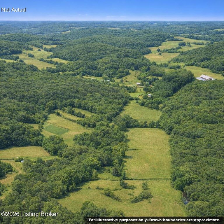
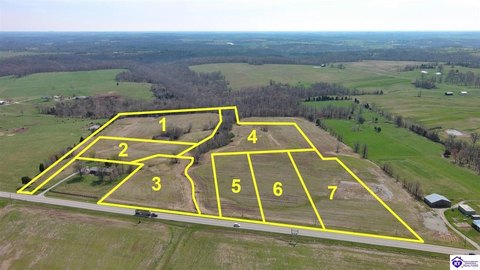
Acreage with Creek and Road
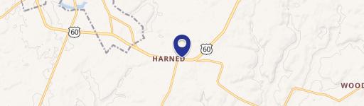
Garfield-Lodiburg Rd Harned, KY 40144
For Sale
$400,000
LAND - Harned, KY
Lot Size129.52 Acres
Days on Market49
Property Features for Garfield-Lodiburg Rd
General Information
Property type
Land
Property subtype
Other
Standard status
Active
APN
100-4K & 99-27A
Lot size
129.52 Acres
Utilities
Sewer type
Septic Tank
Water source
Public
Listing Agency:
RE/MAX Premier Properties
(502) 384-5944
Listed By:
Jalyn Nutgrass
(502) 382-8238
Added: Jun 11
Changed: Jul 23
Last Checked: Jul 29 at 4:06AM
MLS# 1720305
Copyright © 2026 Greater Louisville Association of REALTORS®. All rights reserved. All information provided by the listing agent/broker is deemed reliable but is not guaranteed and should be independently verified.
Investment Insights
Based on property information with market context.
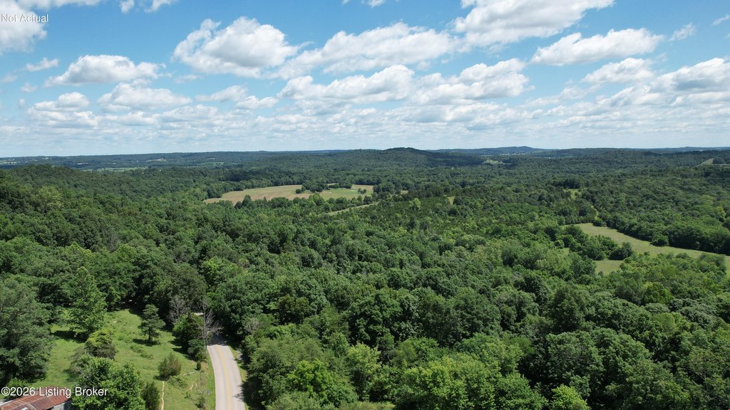
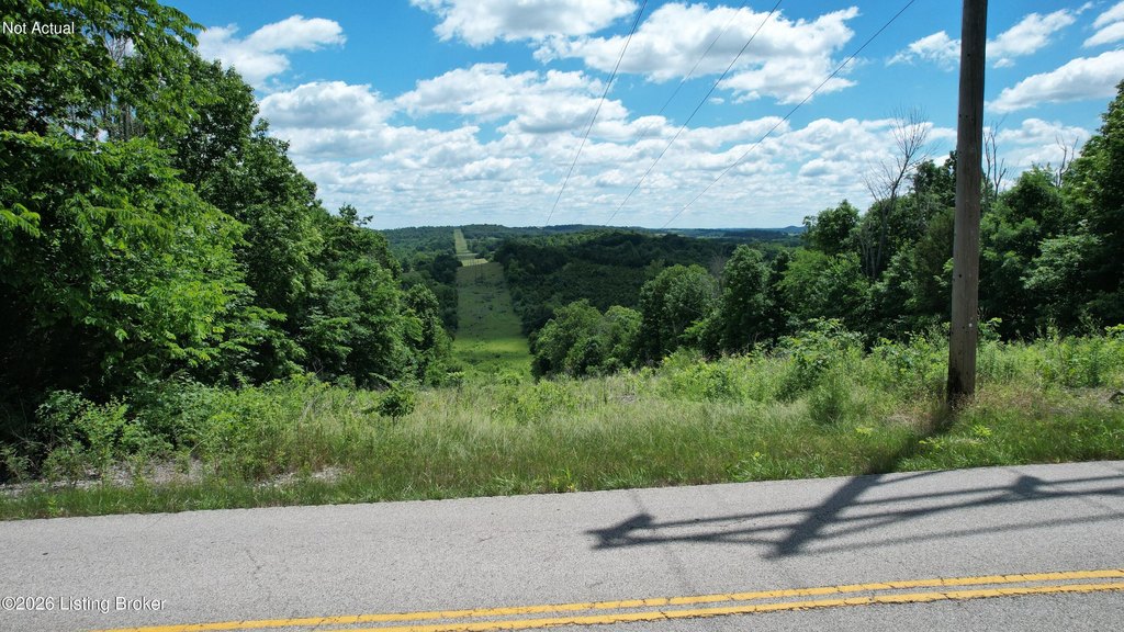
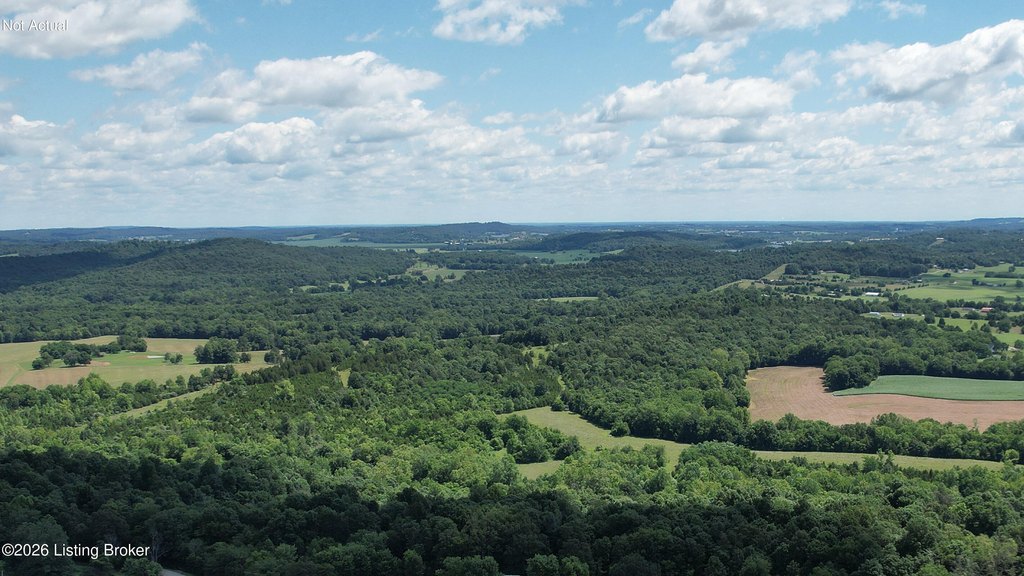
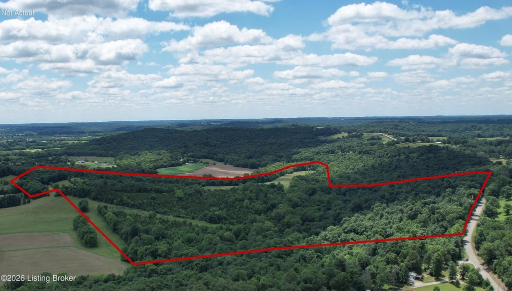
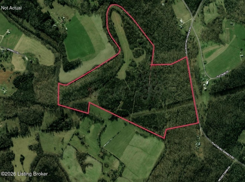
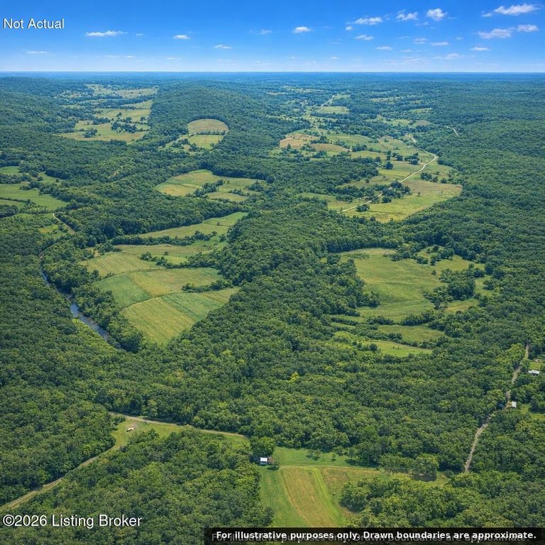
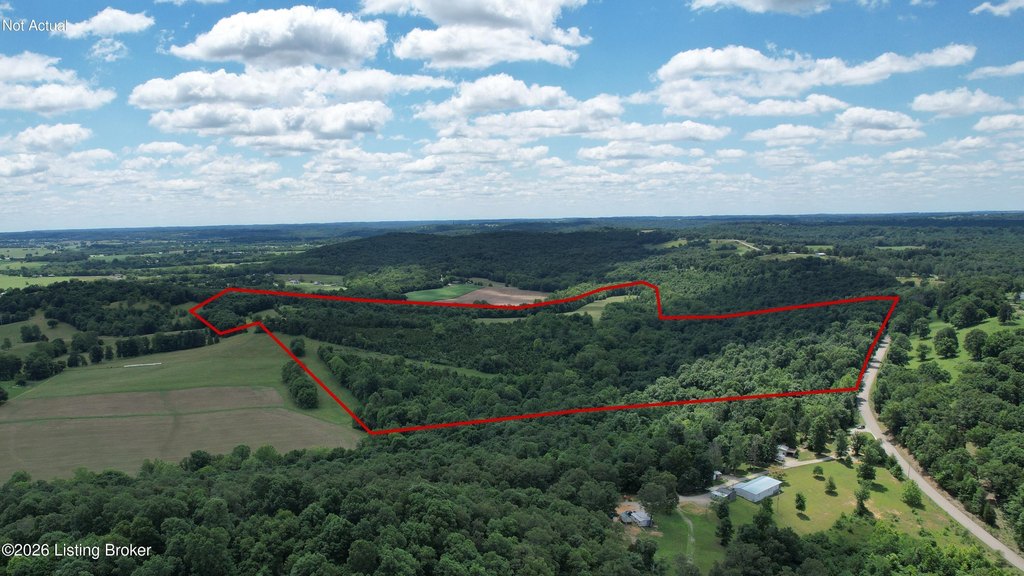
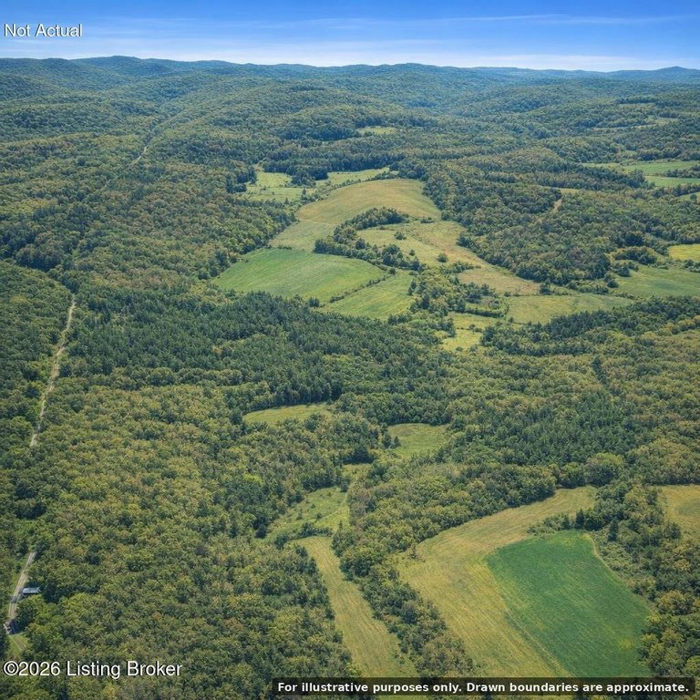
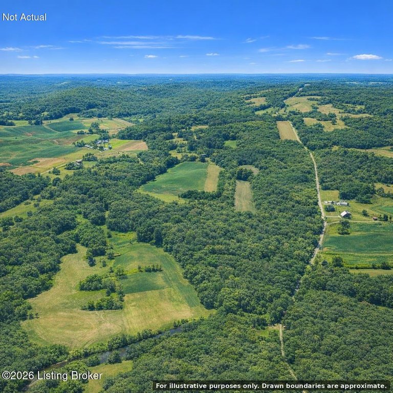
This 129.52-acre land parcel features a mix of wooded and cleared acreage, along with mature timber stands. A creek runs through the property, and the varied topography includes both natural areas and cleared sections that may support immediate building plans.
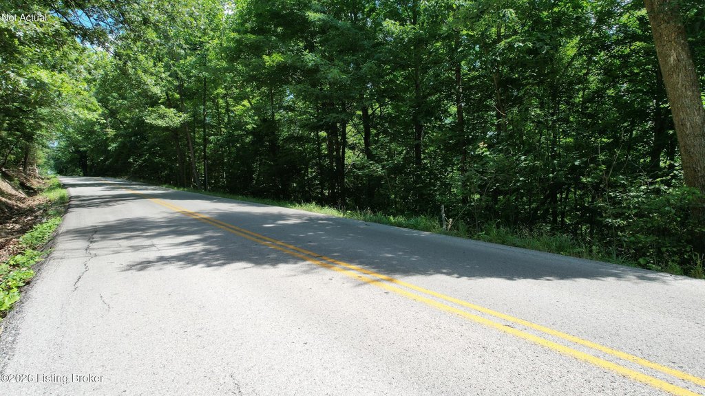
The property offers road accessibility via Garfield-Lodiburg Road in Breckinridge County. It is located near Harned, KY 40144.
Seller financing is available, offering an additional purchasing option for qualified buyers evaluating agricultural, residential, recreational, or conservation-focused use for the acreage.
Key Highlights
- 129.52‑acre property with accessibility via Garfield‑Lodiburg Road in Breckinridge County
- Mix of wooded and cleared acreage for multiple development or use scenarios
- Creek runs through the property for scenic value and potential conservation or recreational use
Property Analytics
Location Intelligence
Current Use

Frequently Asked Questions
What type of property is this?
Agricultural land / Farmland - 129.52 acres of wooded and cleared land with a creek running through it and access from Garfield-Lodiburg Road.
Where is this agricultural land / farmland located?
The property is located at Garfield-Lodiburg Rd Harned, KY.
What is the asking price?
The asking price for this property is $400,000.
What are key features of this property?
This property features: 129.52‑acre property with accessibility via Garfield‑Lodiburg Road in Breckinridge County; Mix of wooded and cleared acreage for multiple development or use scenarios; Creek runs through the property for scenic value and potential conservation or recreational use


