Mountain Recreational Acreage with
Baili Ridge Rd Hacker Valley, WV 26222

For Sale
$600,000
LAND - Hacker Valley, WV
Lot Size181.00 Acres
Days on Market51
Property Features for Baili Ridge Rd
General Information
Property type
Land
Property subtype
Other
Standard status
Active
Lot size
181.00 Acres
Listing Agency:
Whitetail Properties Real Estate LLC
(217) 285-9000
Listed By:
Cory Farley
(217) 285-9000
Added: Jun 8
Changed: Jul 2
Last Checked: Jul 28 at 3:06AM
MLS# 11816688
Copyright © 2026 My State MLS. All rights reserved. All information provided by the listing agent/broker is deemed reliable but is not guaranteed and should be independently verified.
Investment Insights
Based on property information with market context.
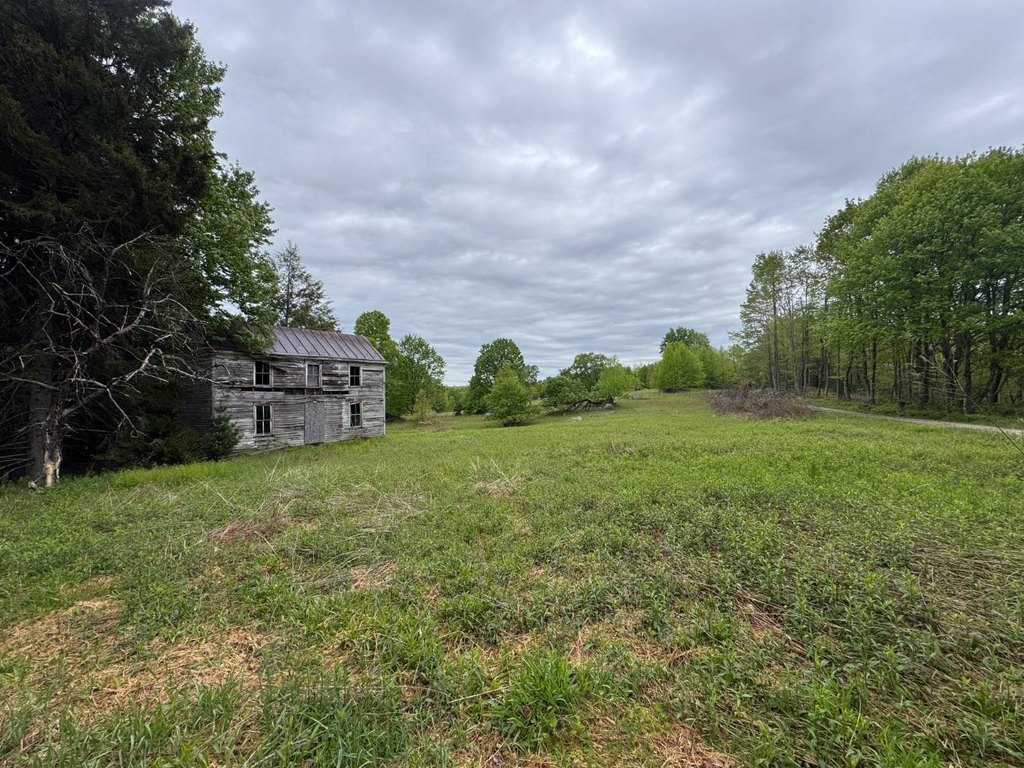
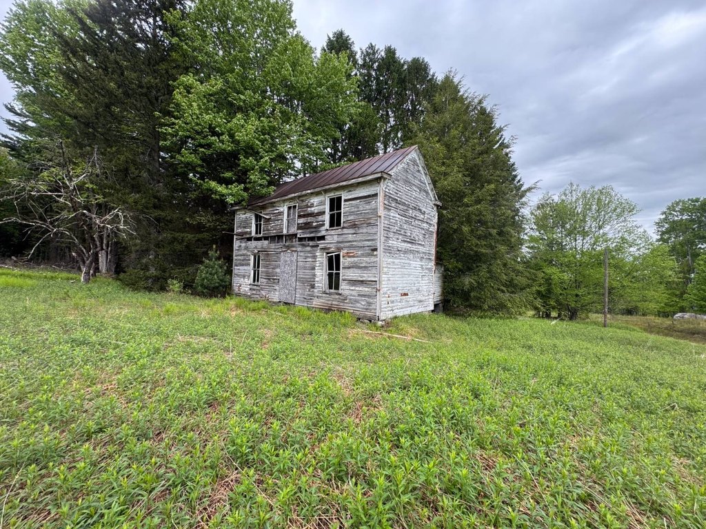
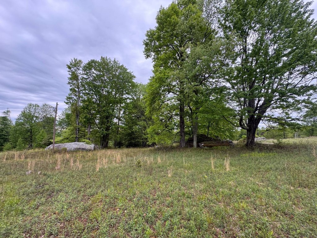
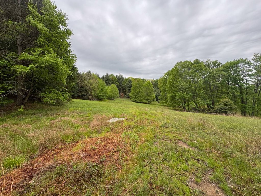
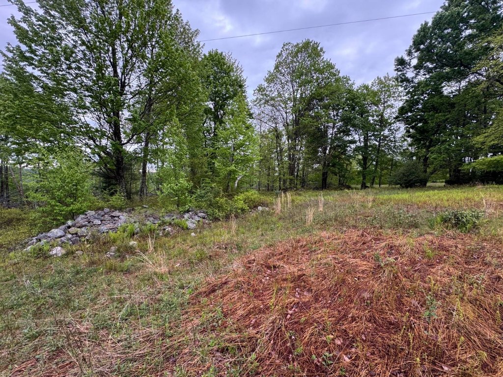
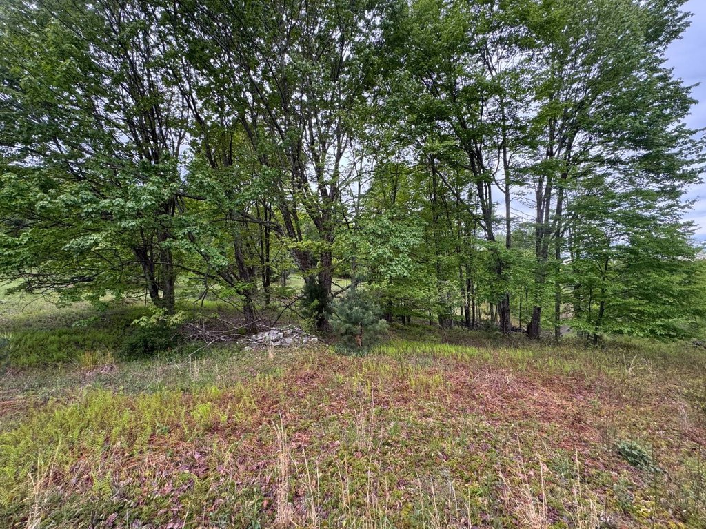
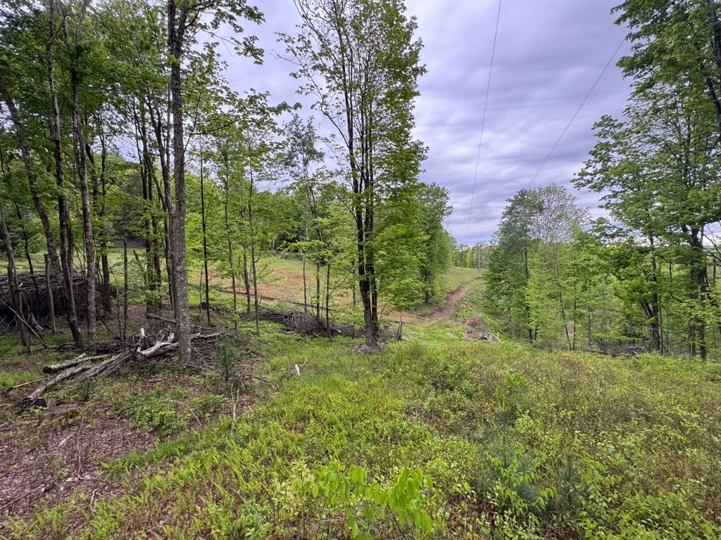
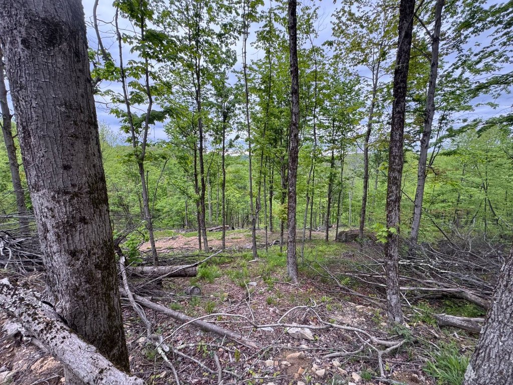
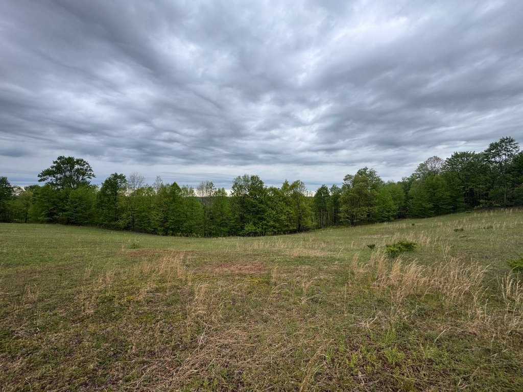
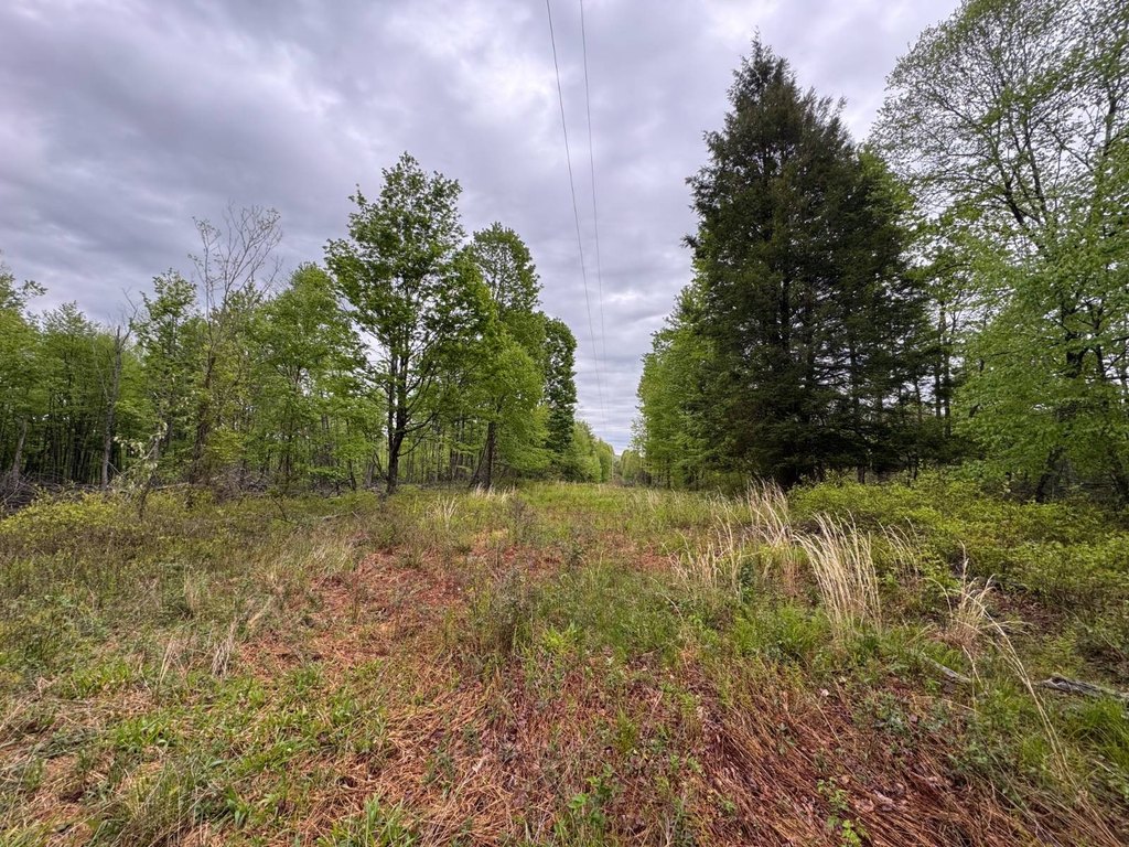
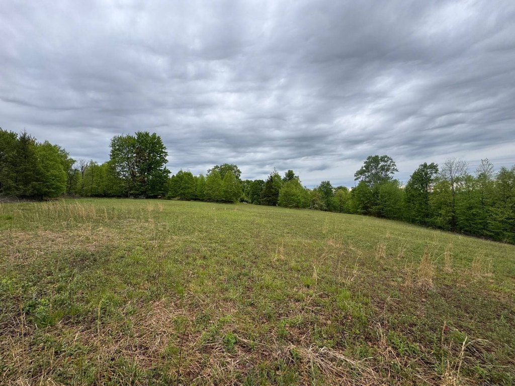
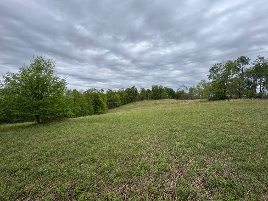
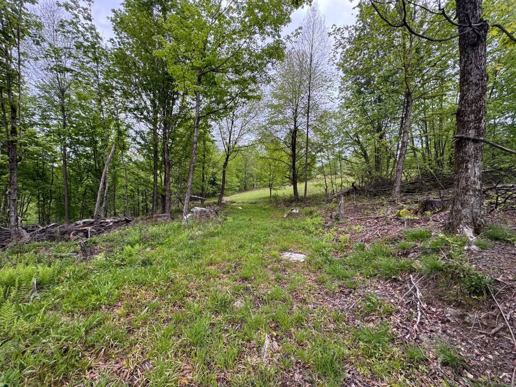
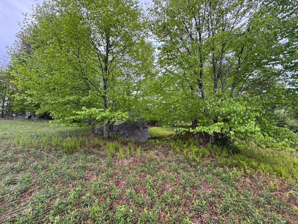
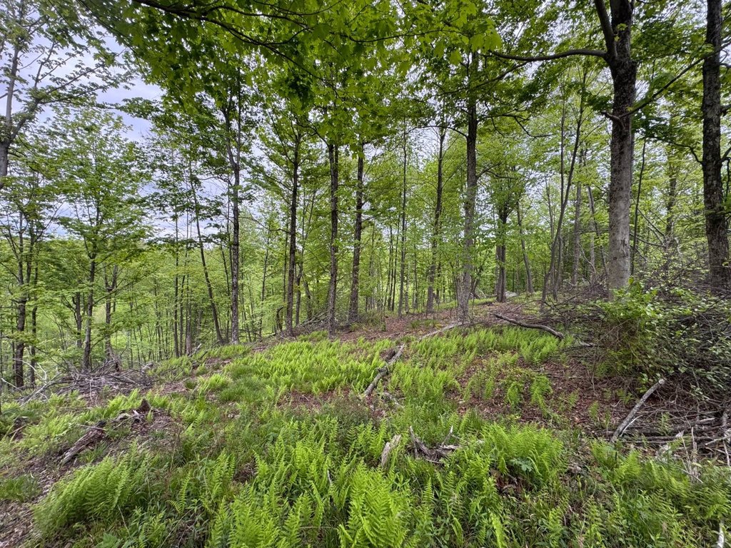
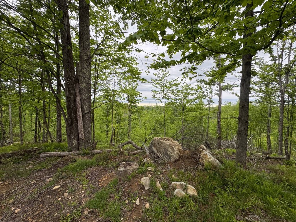
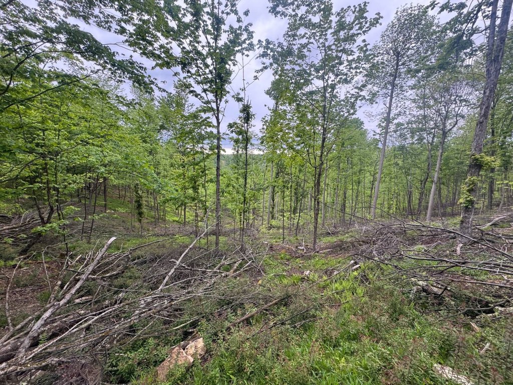
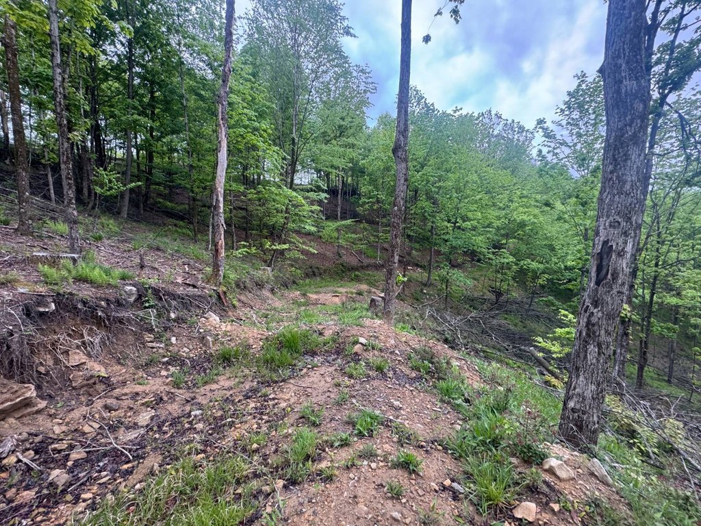
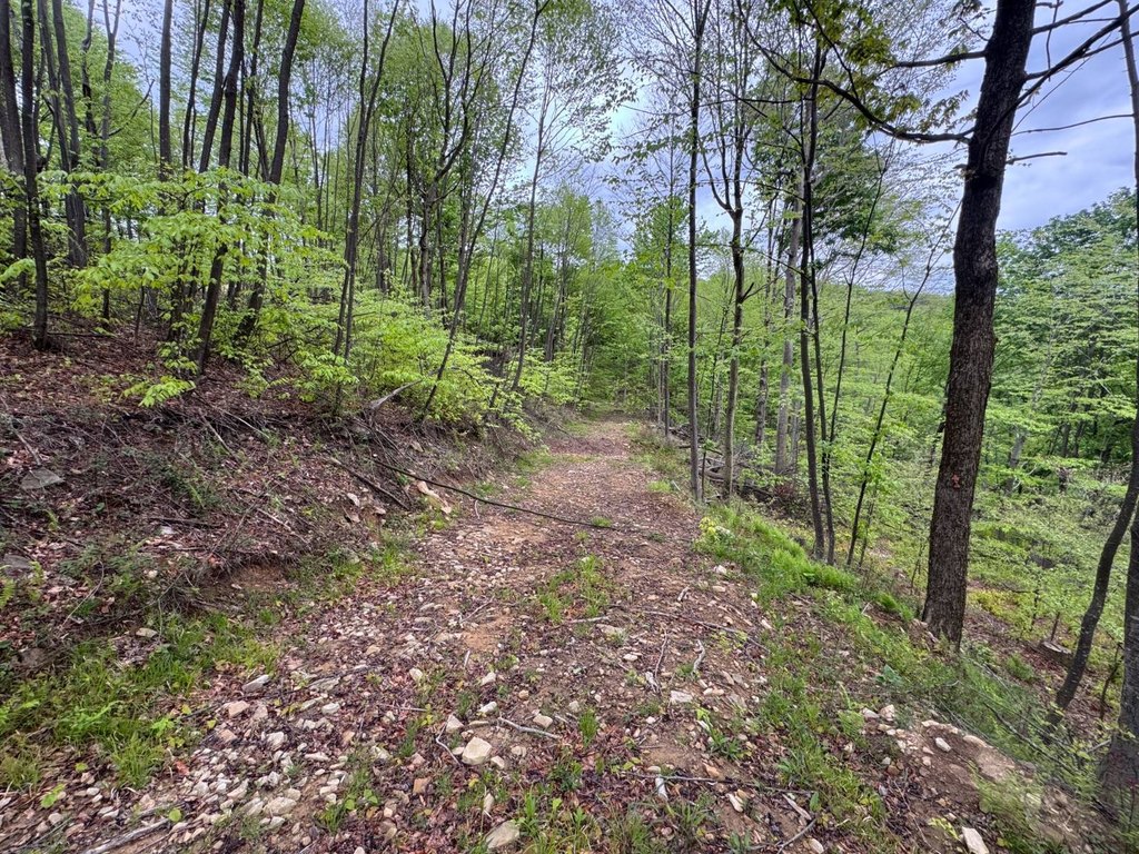
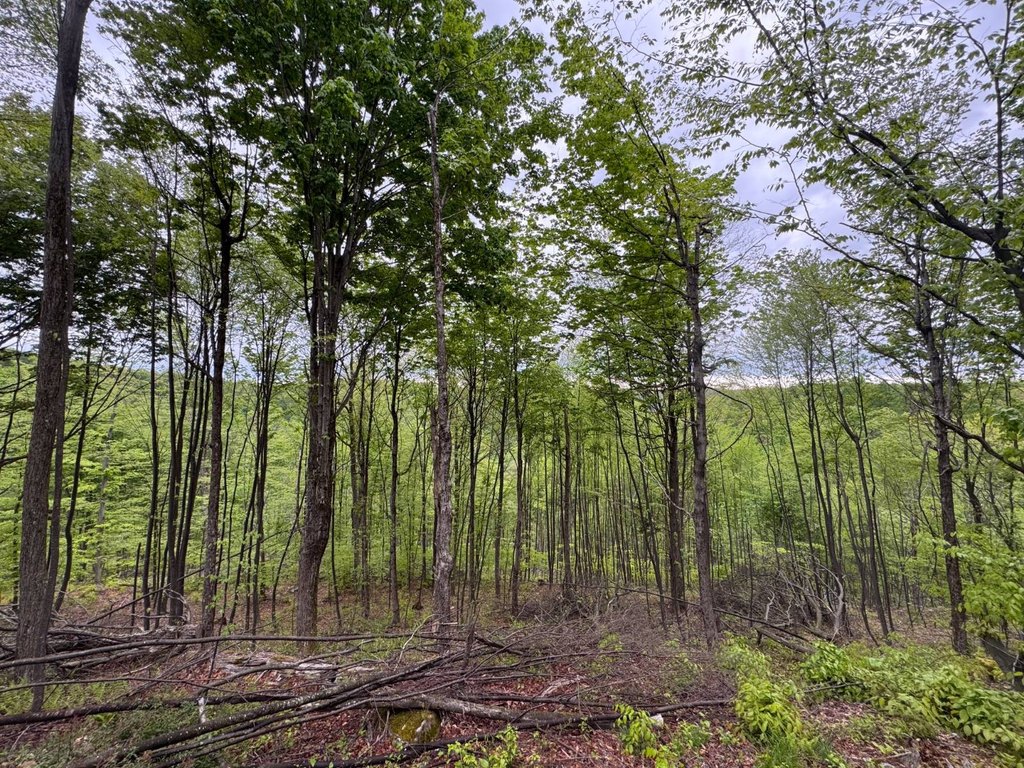
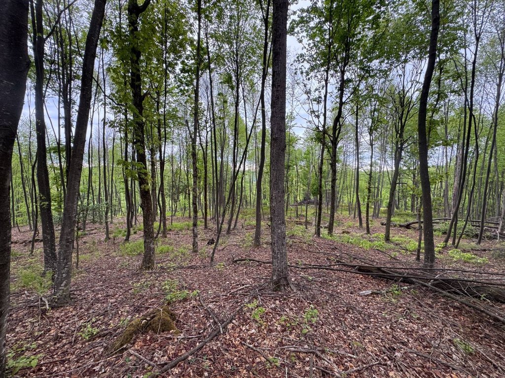
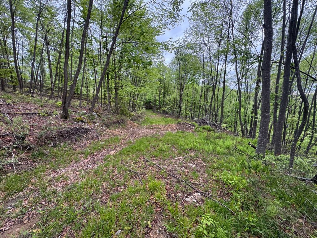
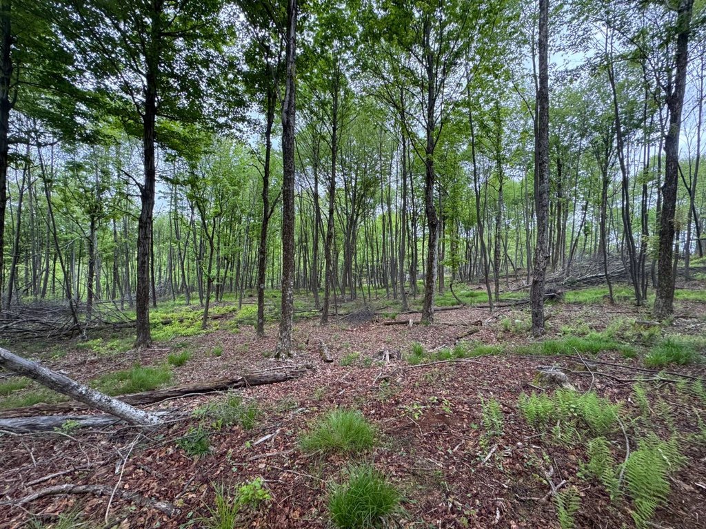
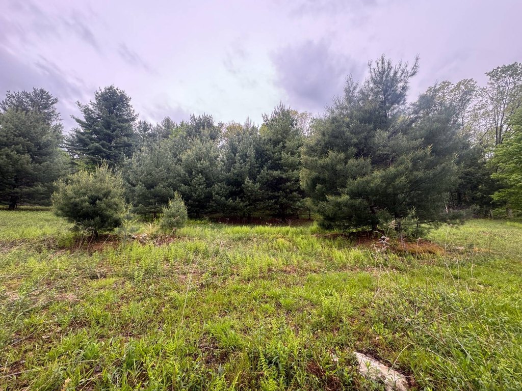
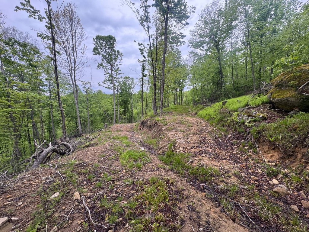
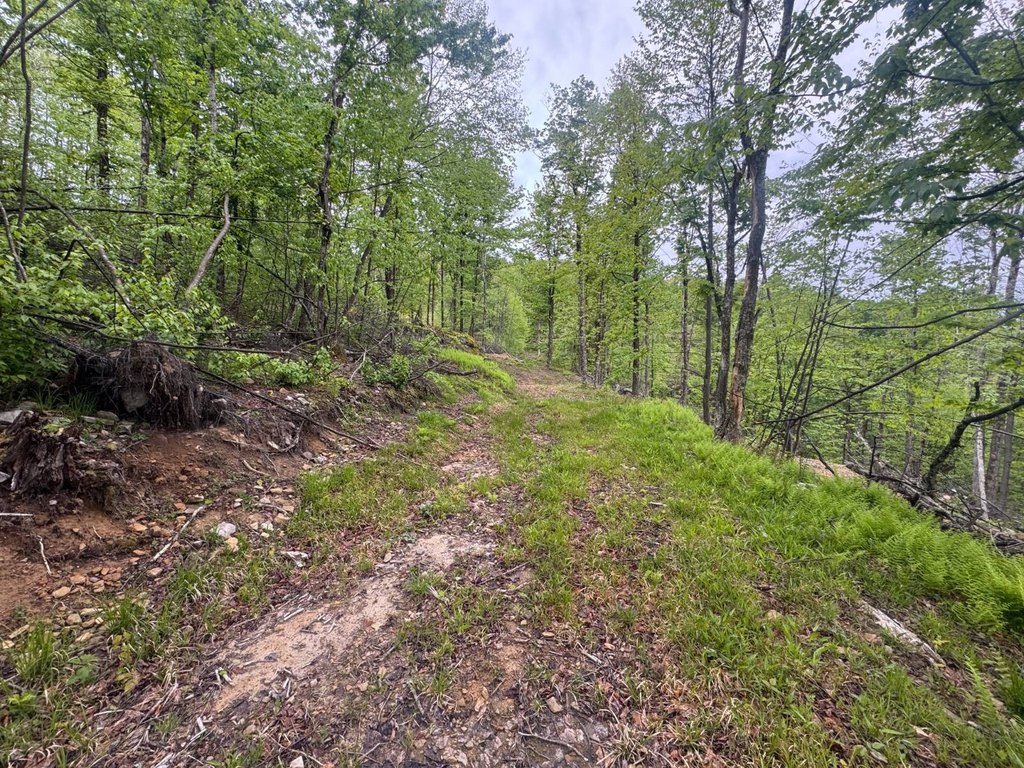
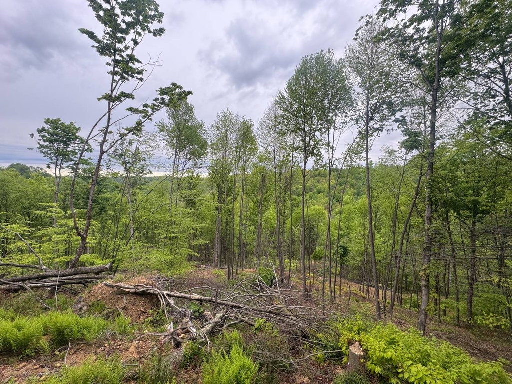
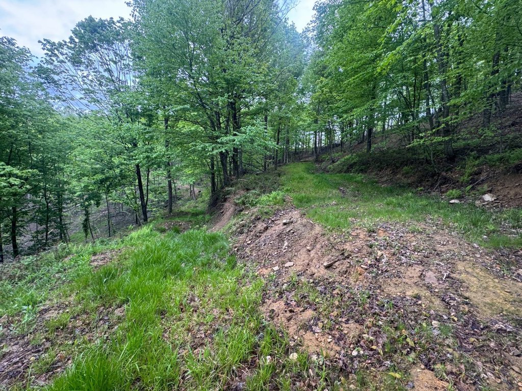
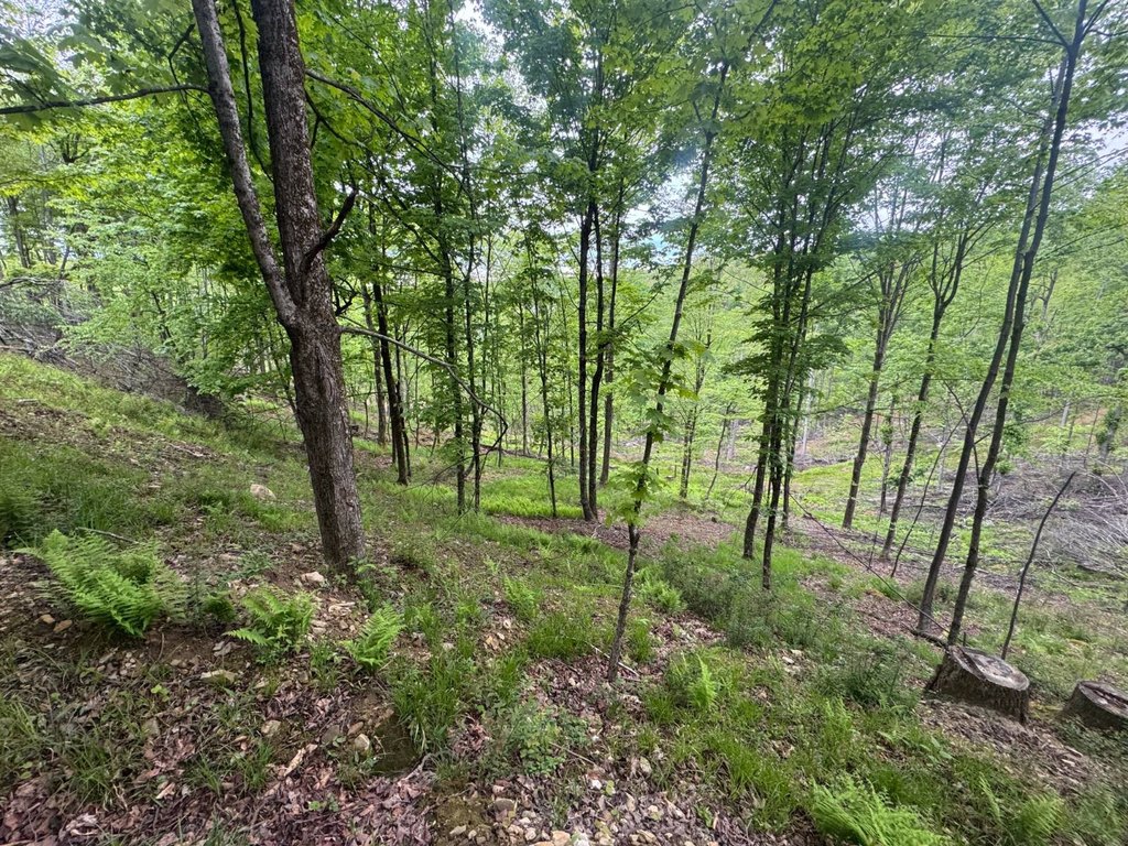
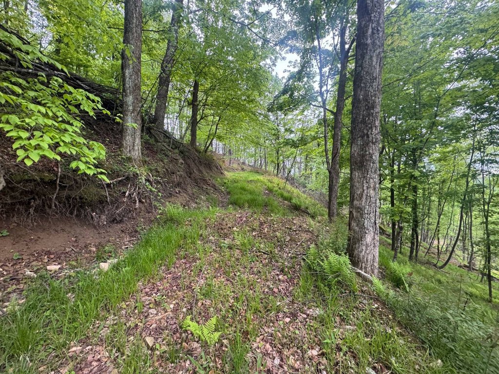
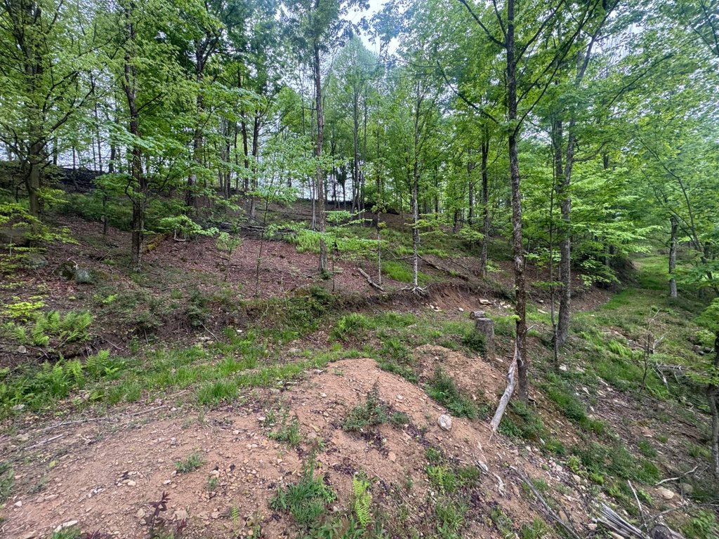
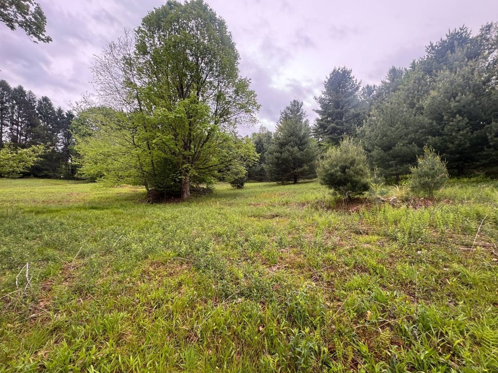
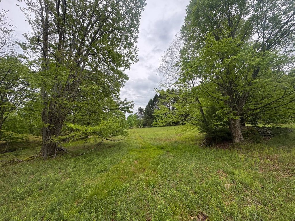
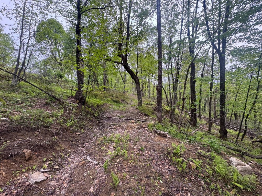
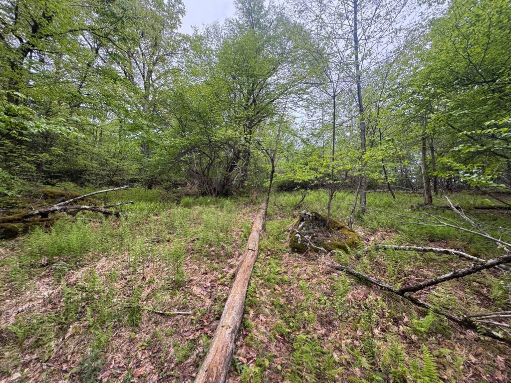
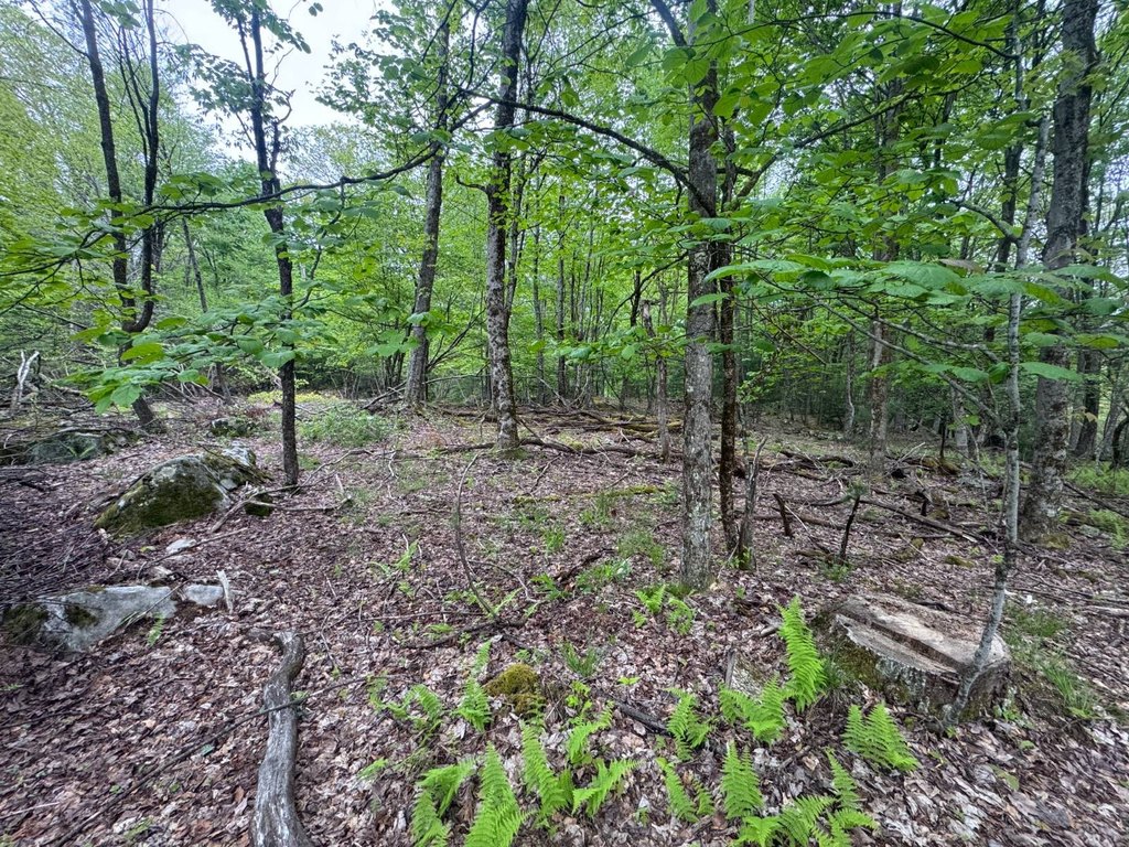
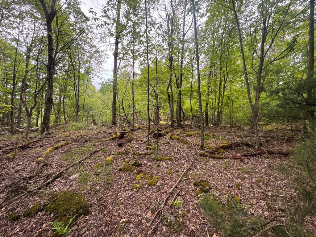
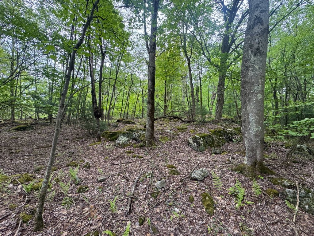
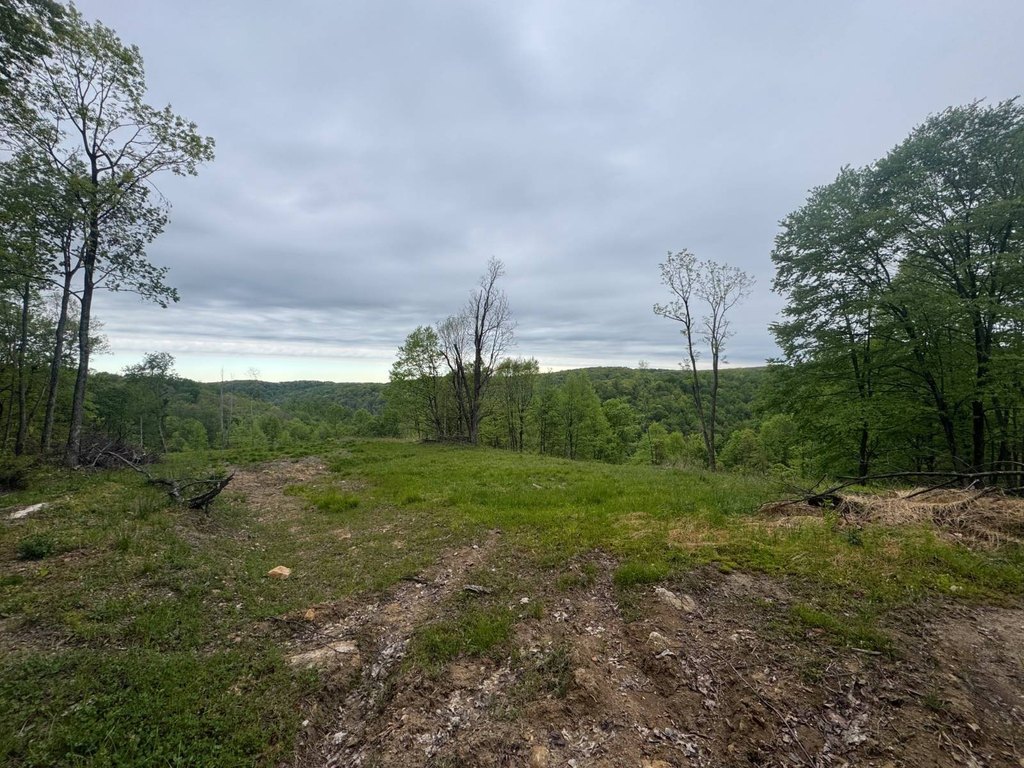
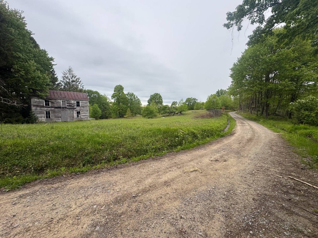
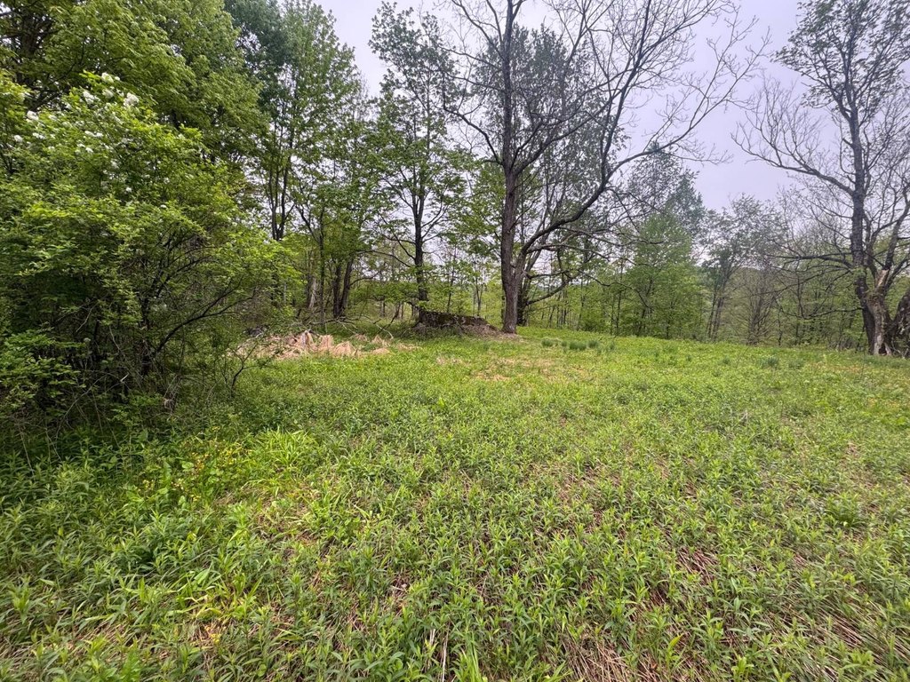
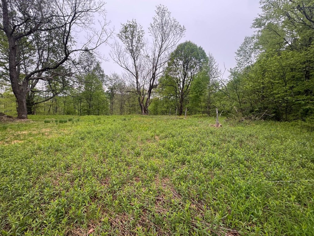
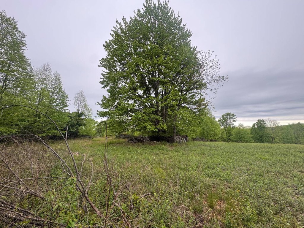
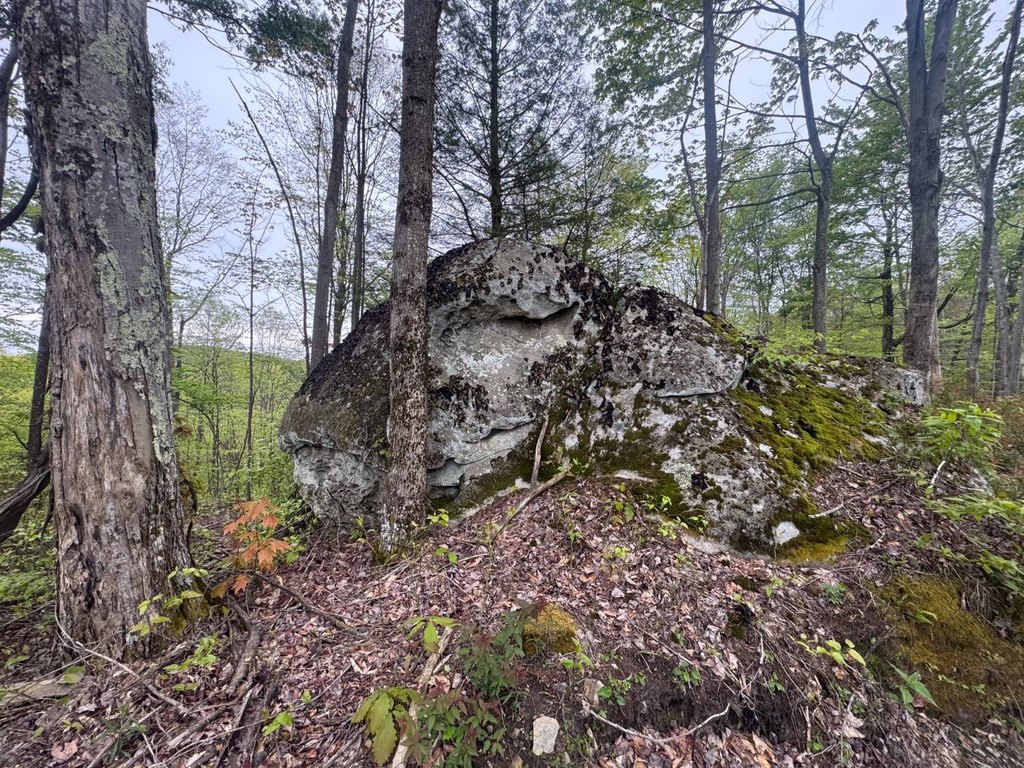
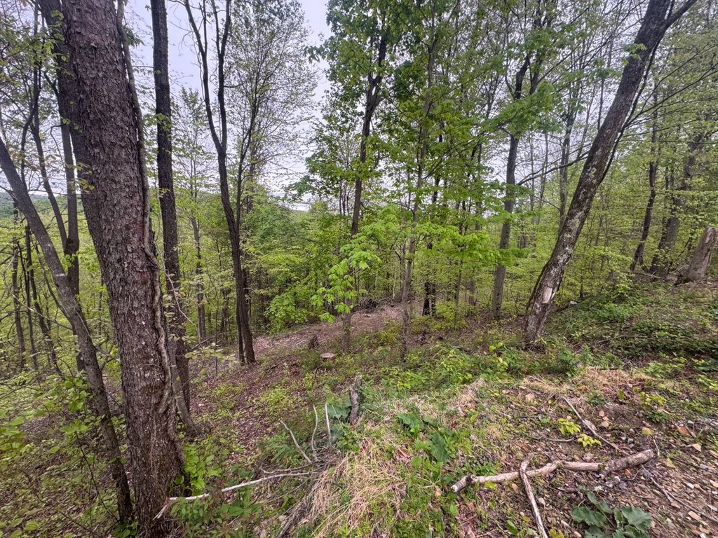
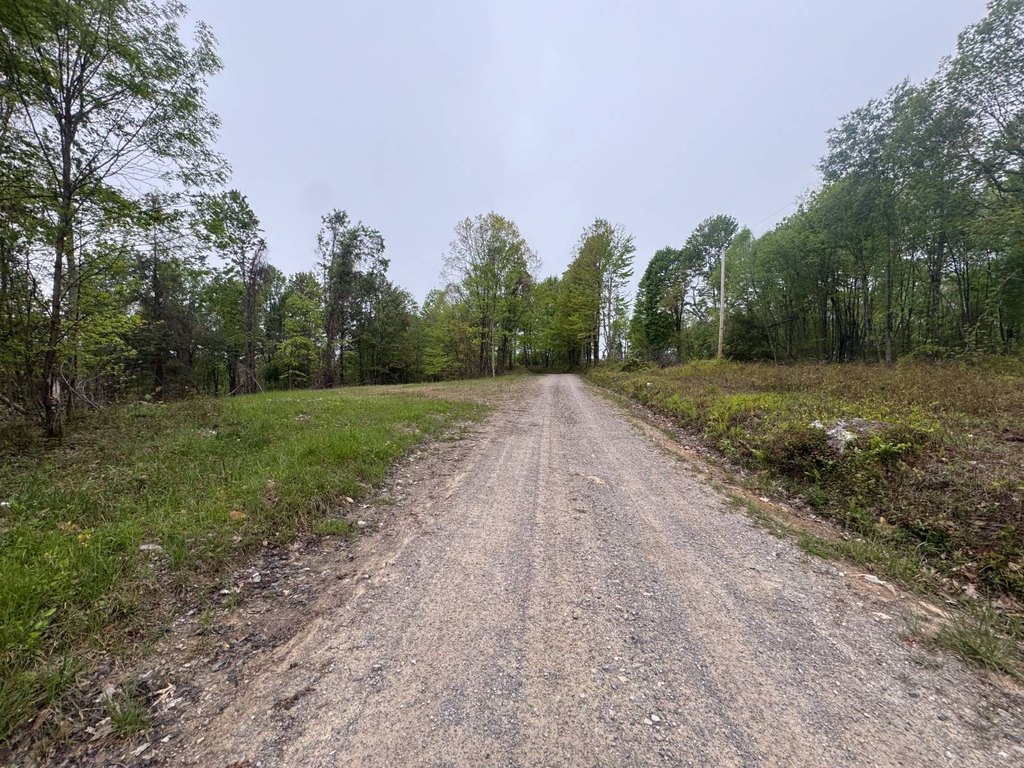
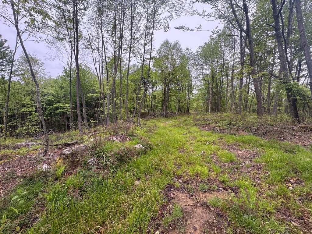
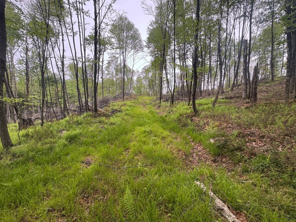
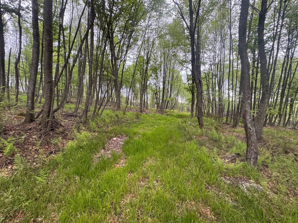
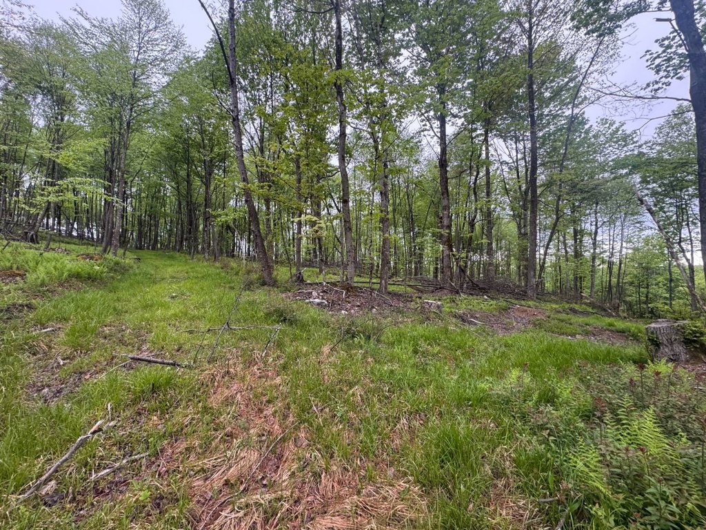
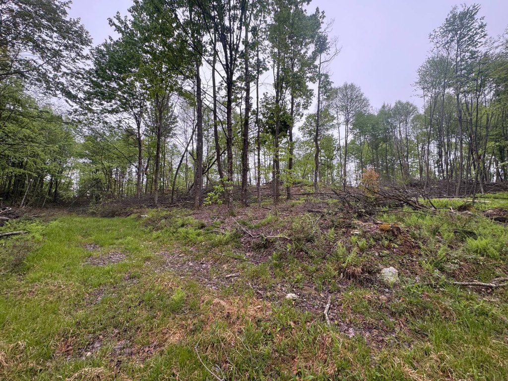
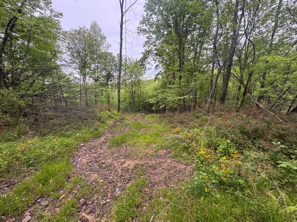
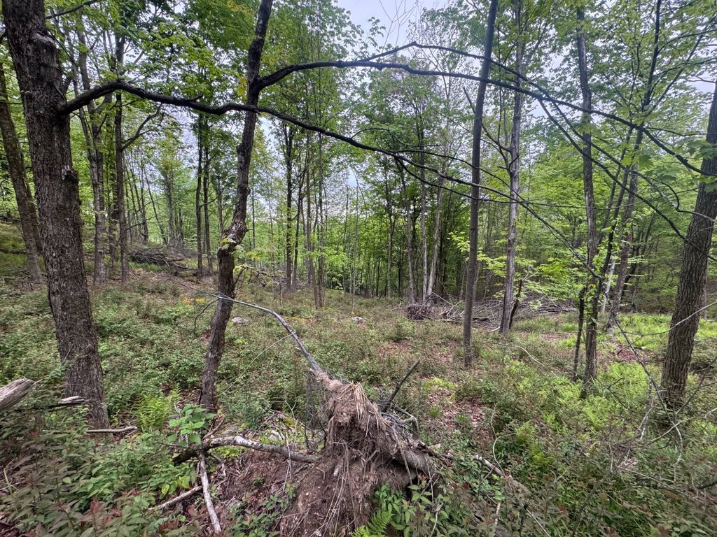
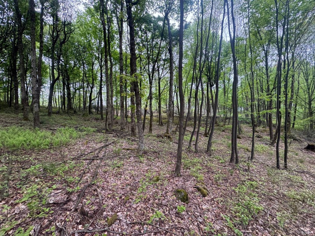
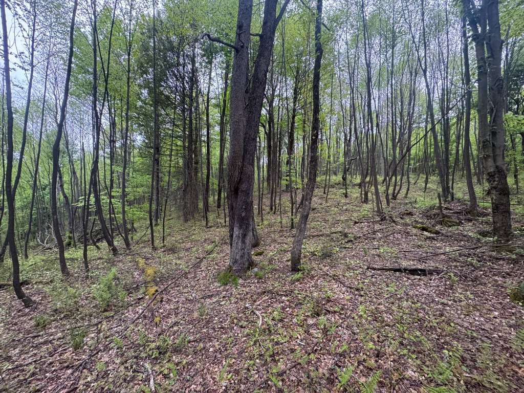
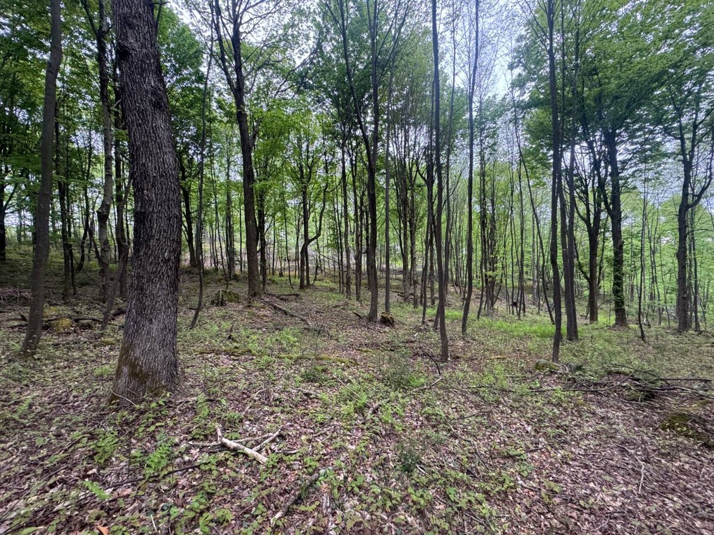
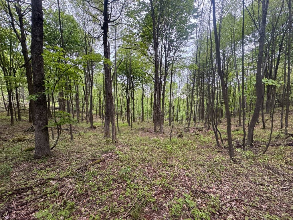
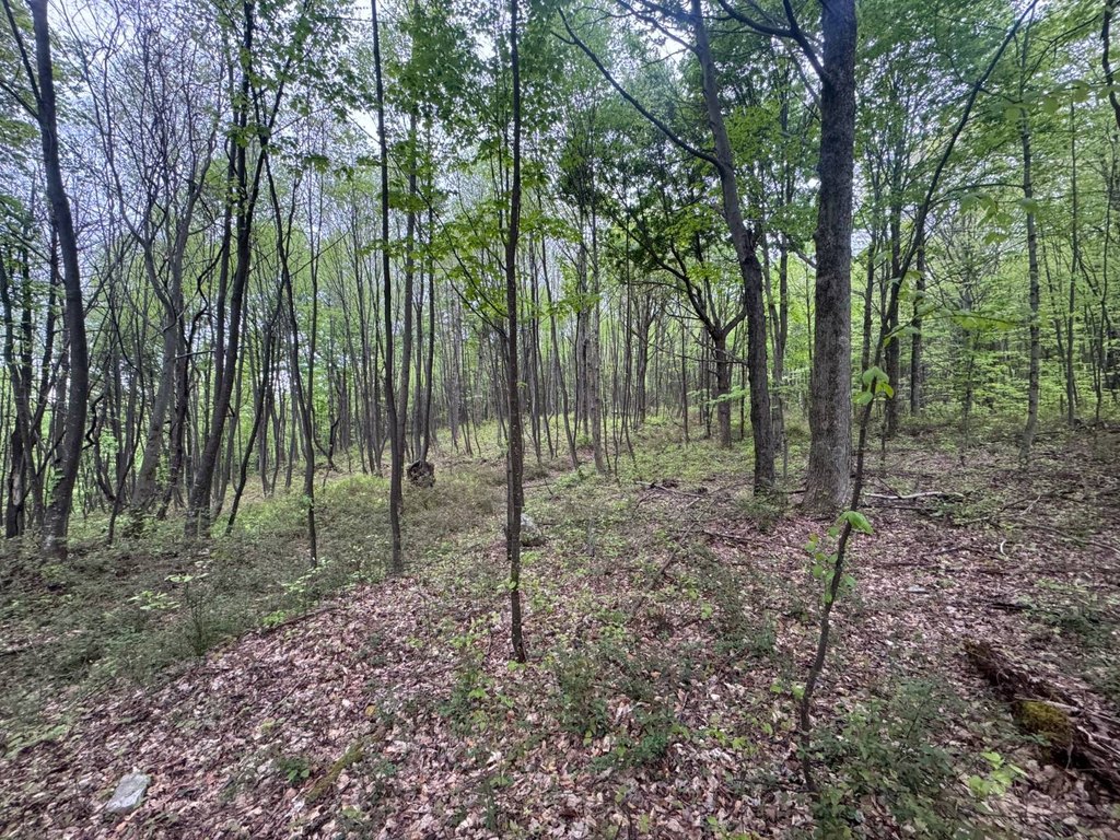
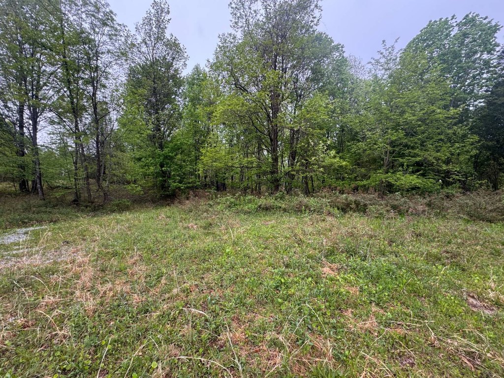
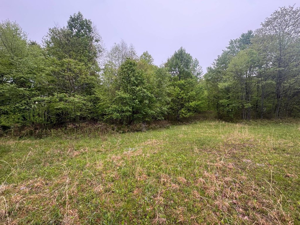
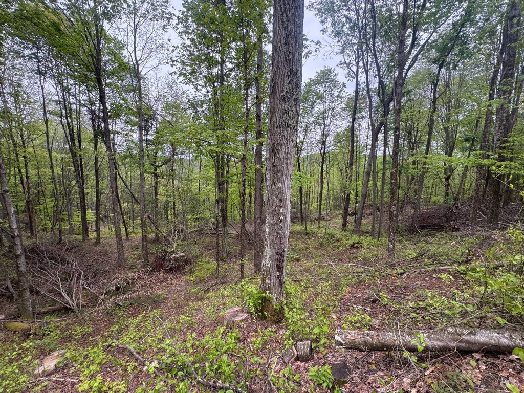
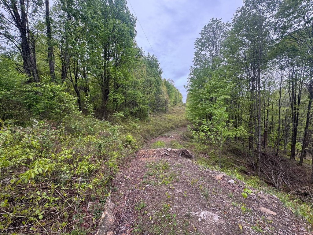
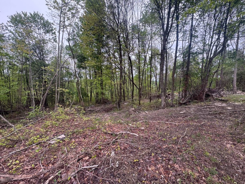
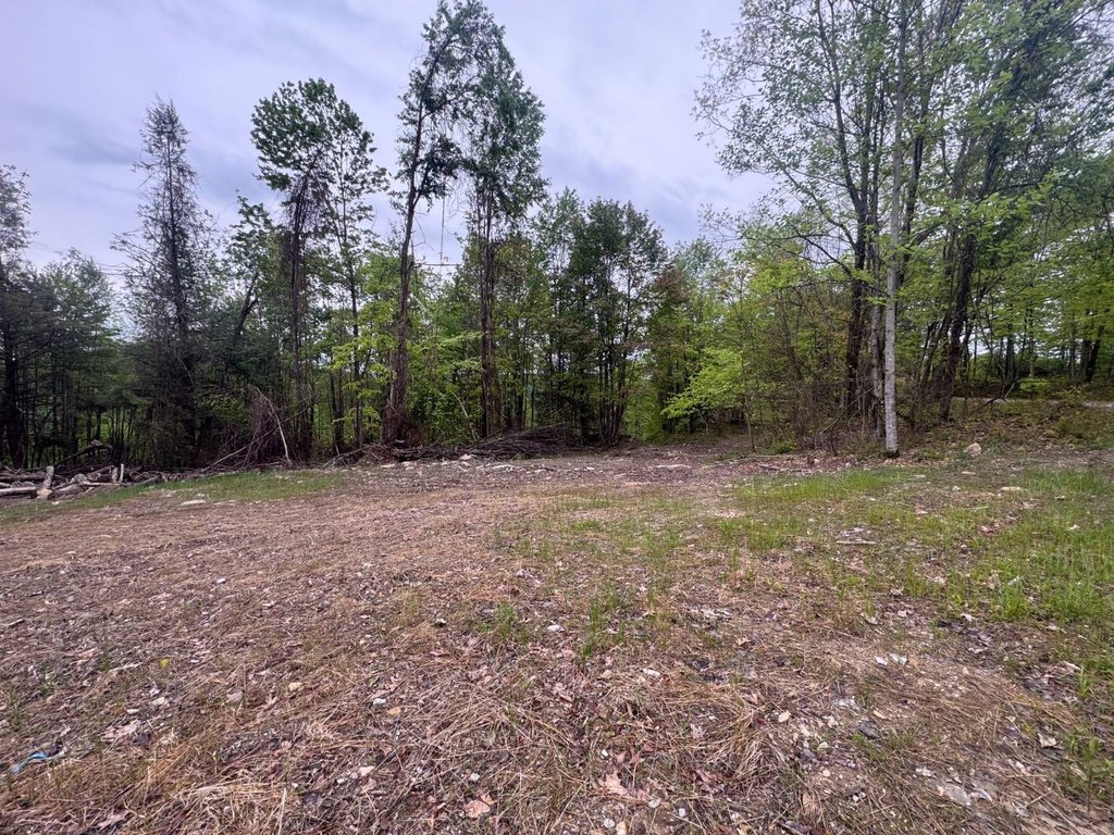
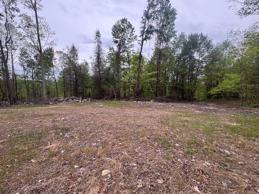
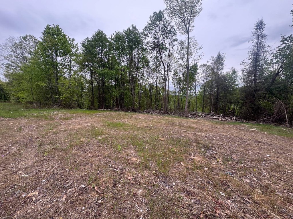
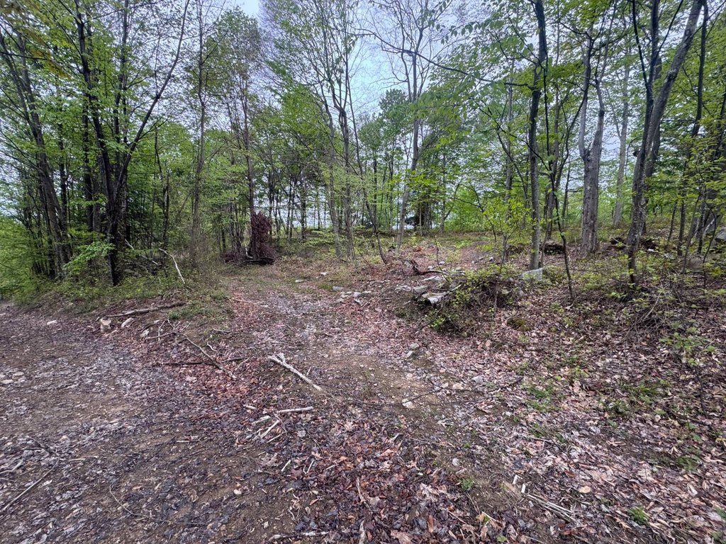
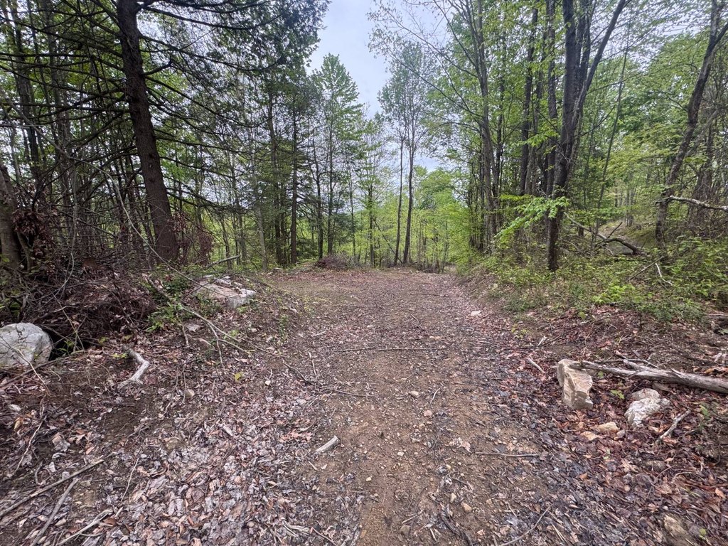
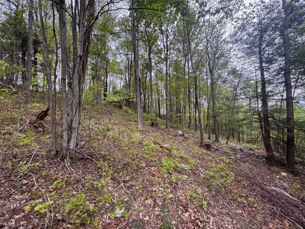
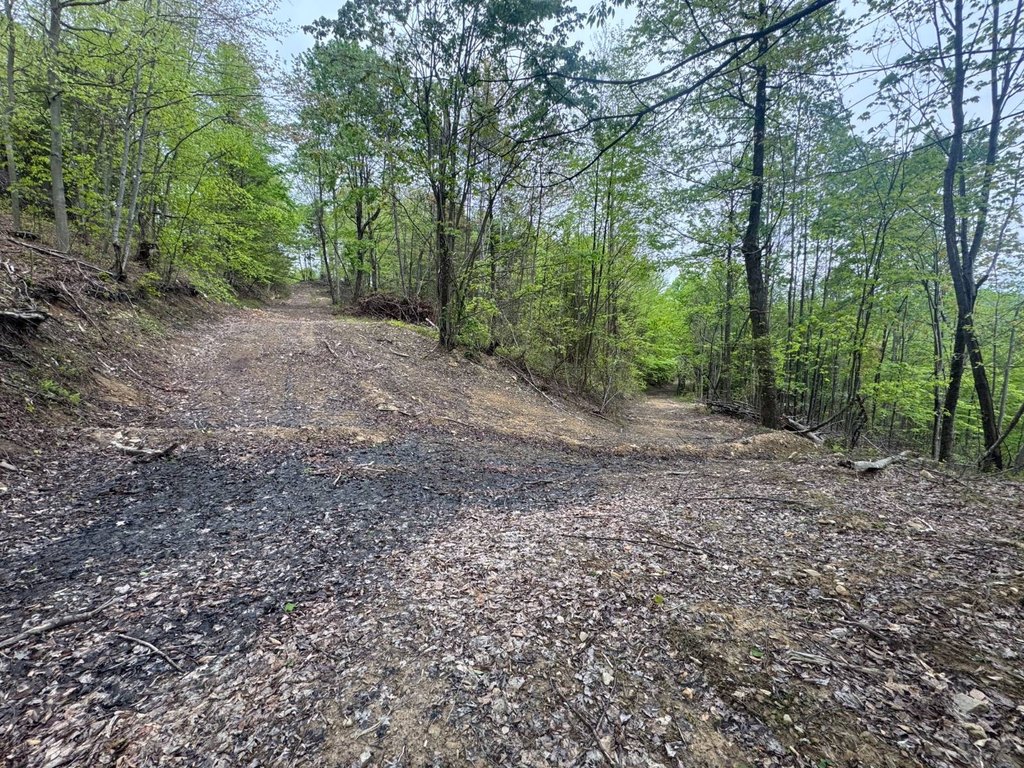
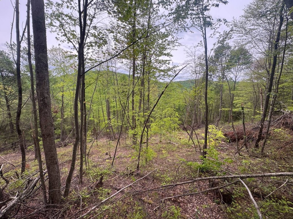
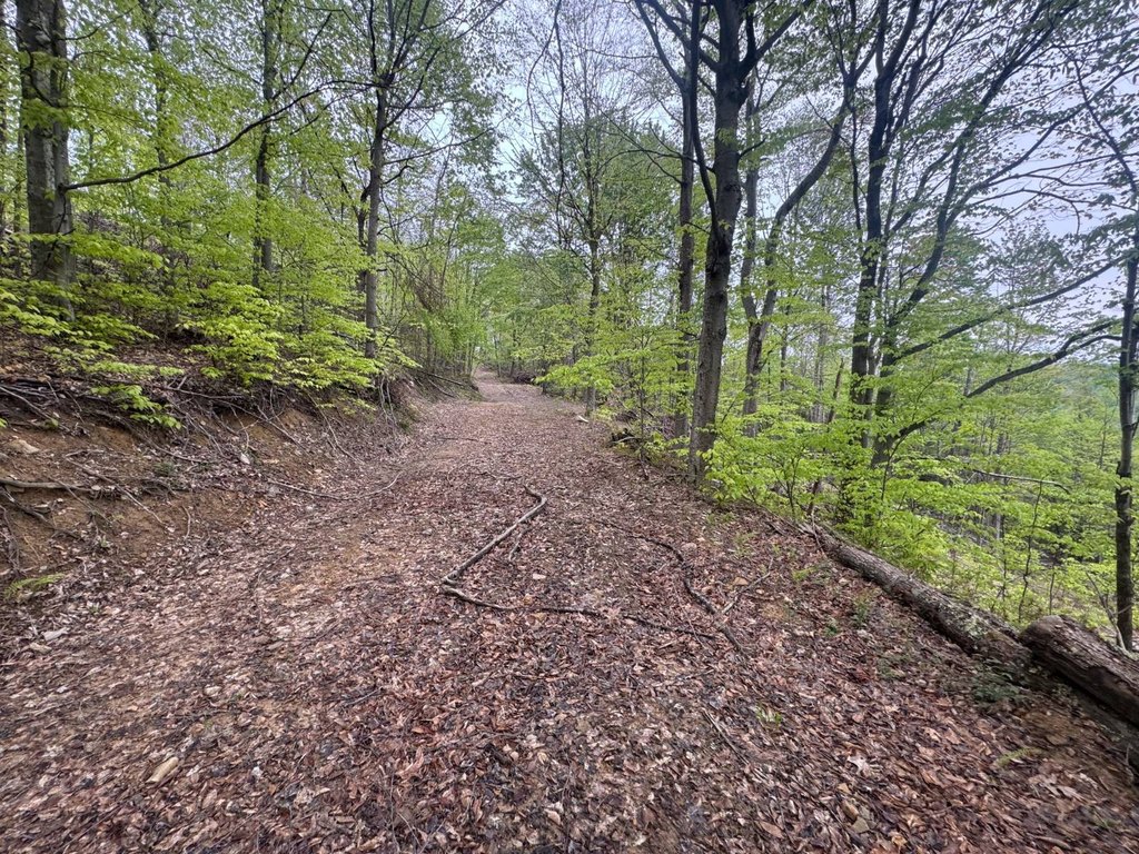
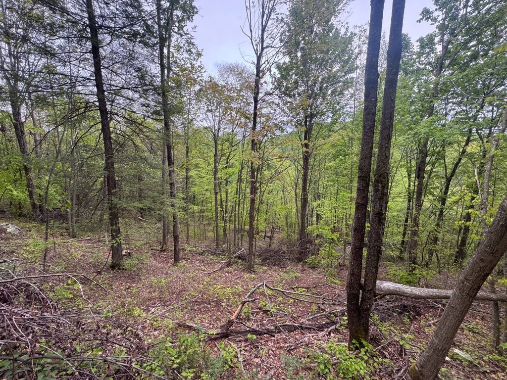
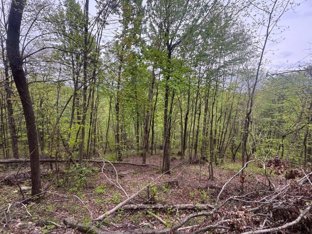
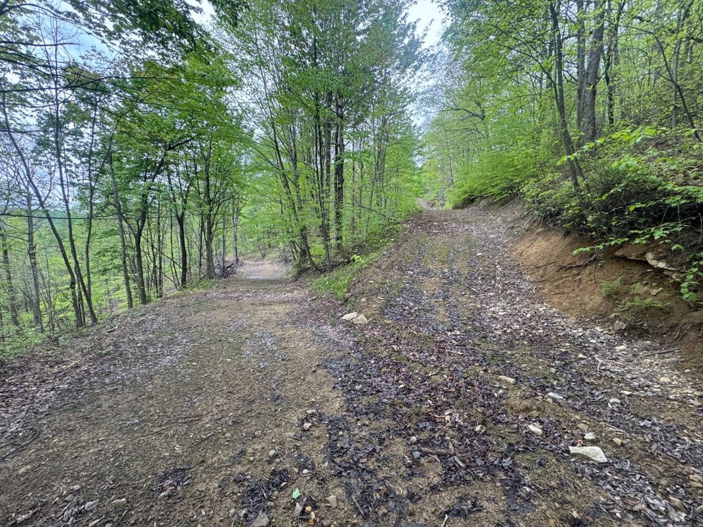
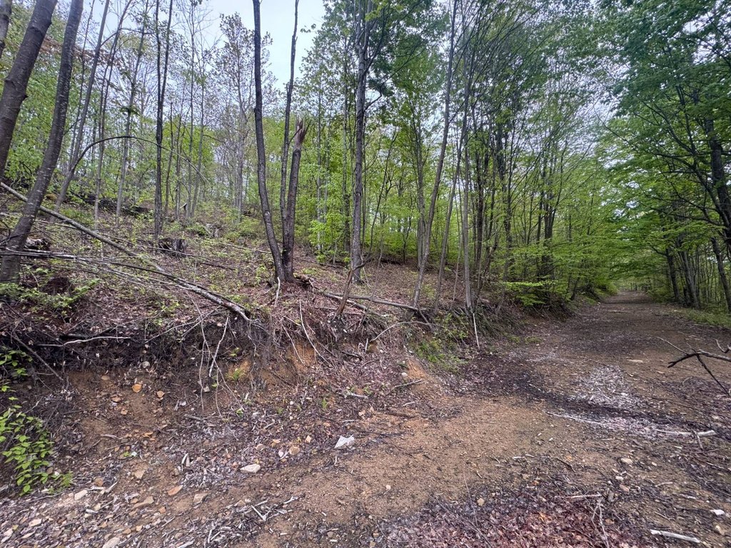
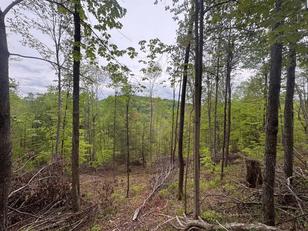
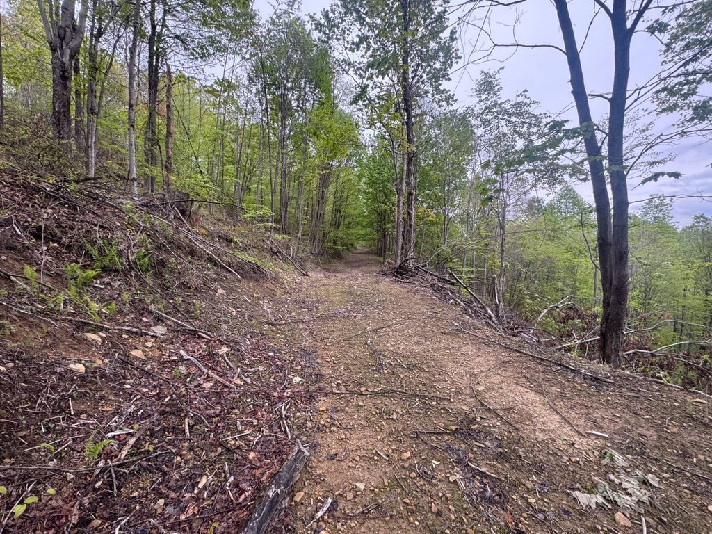
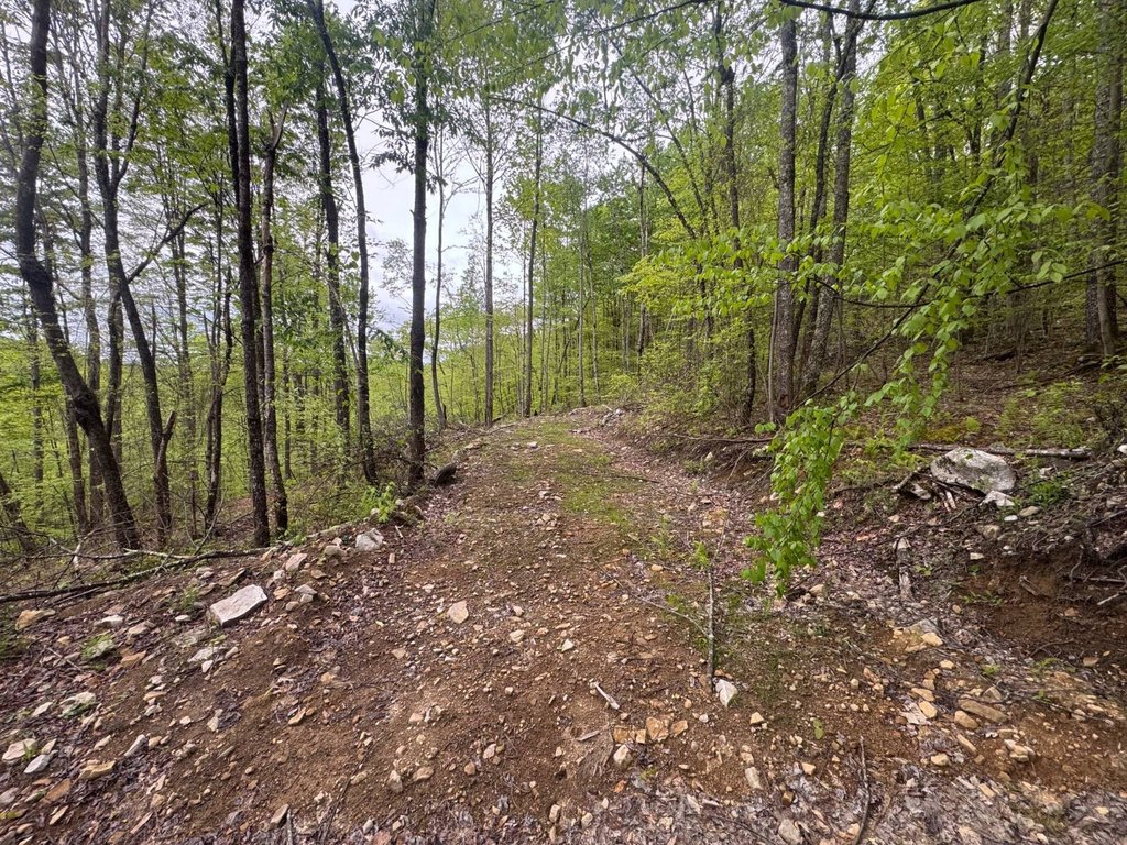
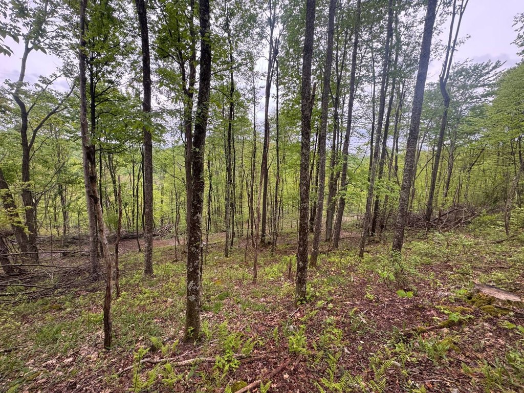
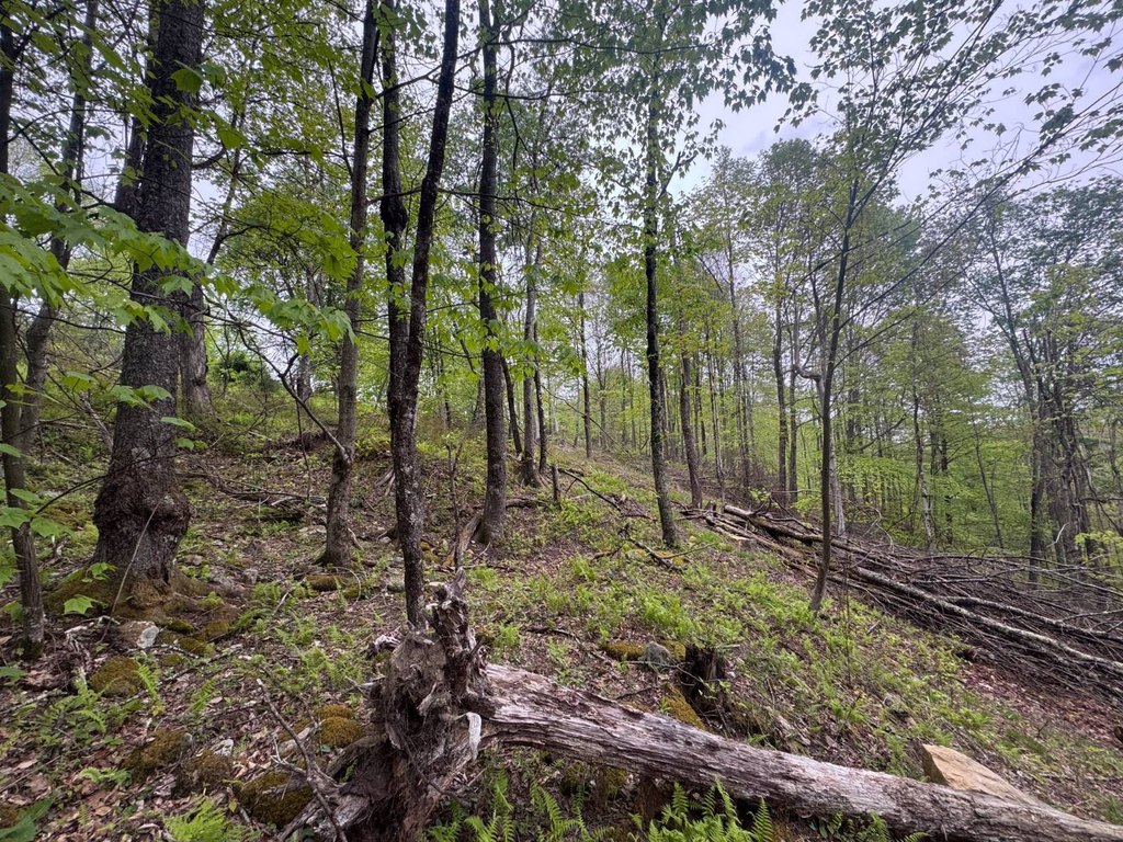
This offering is a 181+/- acre mountain property in Hacker Valley, Webster County, with a mix of ridge-top terrain and approximately 15 acres of rolling fields. The land includes multiple potential building sites along the scenic mountain ridge, providing options for a home, cabin, or retreat. A county-maintained road divides the tract into two sides, which improves practical access and usability across the property. An extensive trail system winds throughout the acreage, supporting outdoor use such as hunting, UTV riding, hiking, and horseback riding, with numerous camping locations scattered across the land.
The property sits near Holly River State Park, which offers a range of outdoor recreation options including camping, fishing, hiking, horseback riding, swimming, and dining. The acreage is accessed via Baili Ridge Rd.
For buyers looking for land with built-in recreation, this tract combines hunting opportunities with established trail access and multiple camping spots. The presence of rolling fields supports hobby-farm style uses such as wildlife food plots and livestock, while the variety of terrain and multiple building locations can accommodate different private retreat layouts. The county-maintained road split also helps manage activities across the property when using different areas for hunting, farming, or overnight stays.
Key Highlights
- 181+/- acre mountain property in Hacker Valley, Webster County, WV
- Multiple building sites along a scenic mountain ridge with views of the surrounding West Virginia mountains
- Tract is divided by a county‑maintained road, providing access to both sides
Property Analytics
Location Intelligence
Current Use
Frequently Asked Questions
What type of property is this?
Hunting land - Large mountain tract with rolling fields, an internal trail system, and multiple building sites for cabin, farm, or recreation.
Where is this hunting land located?
The property is located at Baili Ridge Rd Hacker Valley, WV.
What is the asking price?
The asking price for this property is $600,000.
What are key features of this property?
This property features: 181+/- acre mountain property in Hacker Valley, Webster County, WV; Multiple building sites along a scenic mountain ridge with views of the surrounding West Virginia mountains; Tract is divided by a county‑maintained road, providing access to both sides


