Rural Acreage with County Road
County Road 347 Fort Steele, WY 82301
For Sale
$248,800
LAND - Fort Steele, WY
Lot Size155.46 Acres
Days on Market196
Property Features for County Road 347
General Information
Property type
Land
Property subtype
Other
Standard status
Active
Lot size
155.46 Acres
Listing Agency:
Great Plains Land Co.
(405) 255-0051
Listed By:
Ethan Janicki
(405) 623-1591
Added: Jan 13
Changed: Jul 2
Last Checked: Jul 28 at 2:06AM
MLS# 11631134
Copyright © 2026 My State MLS. All rights reserved. All information provided by the listing agent/broker is deemed reliable but is not guaranteed and should be independently verified.
Investment Insights
Based on property information with market context.
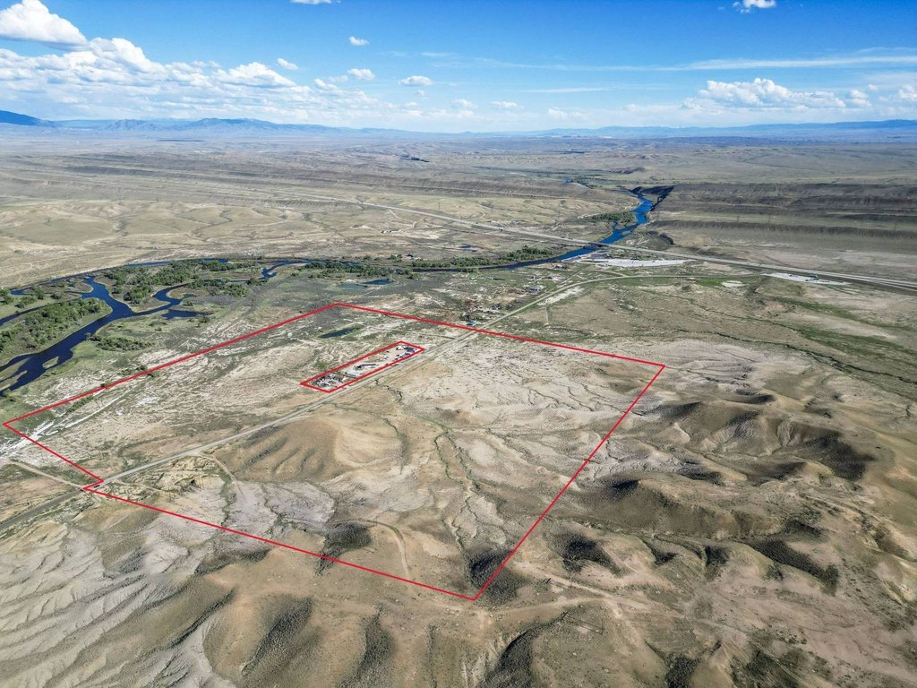
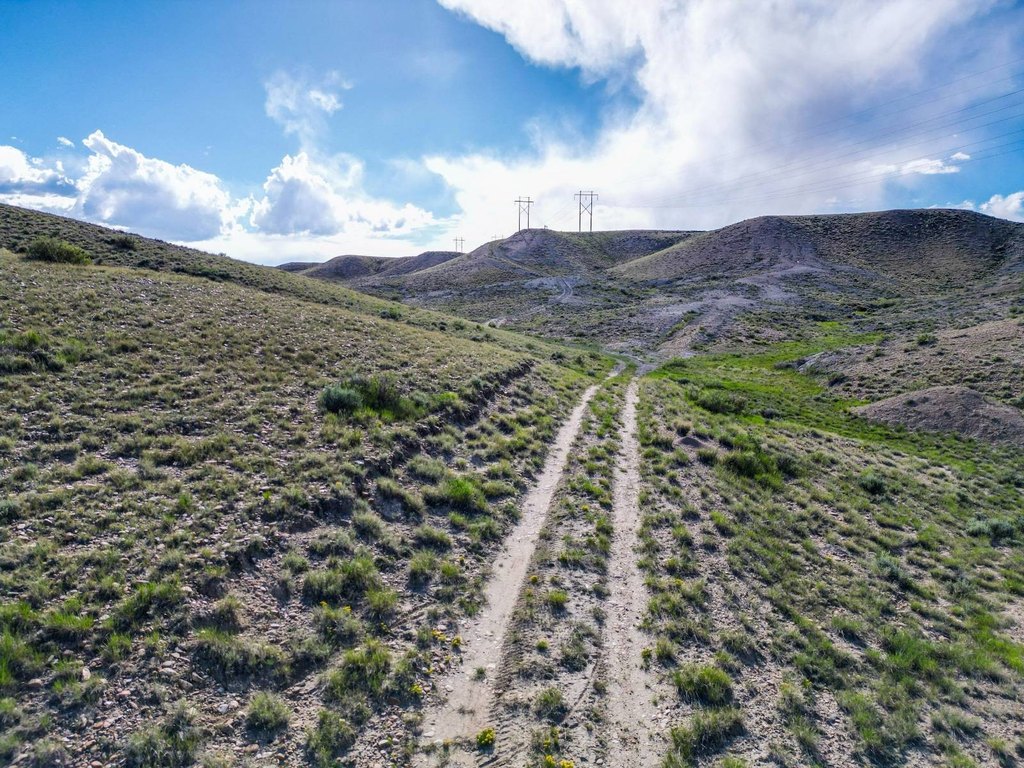
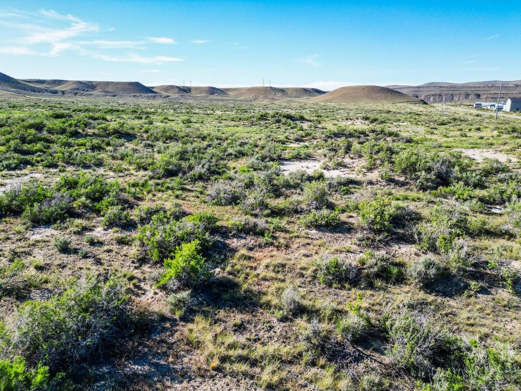
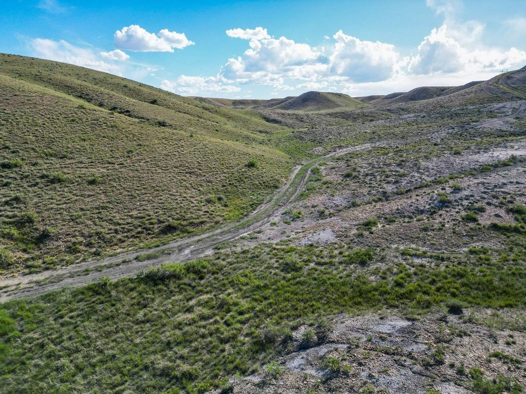
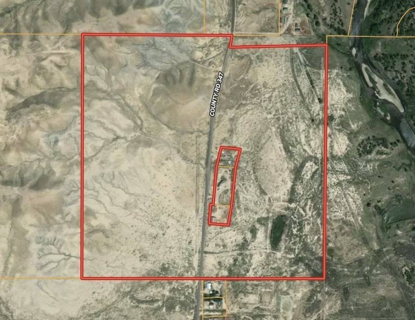
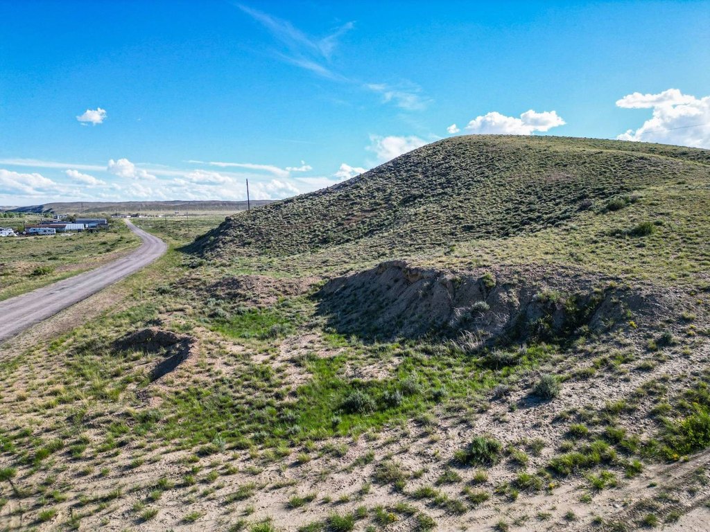
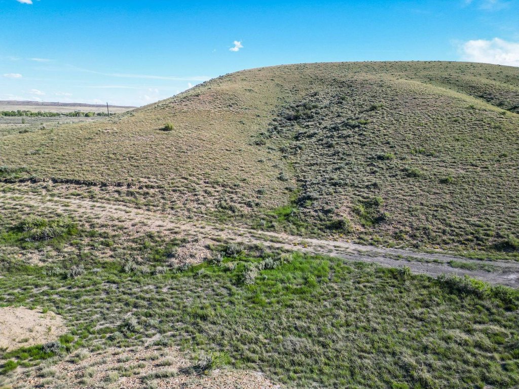
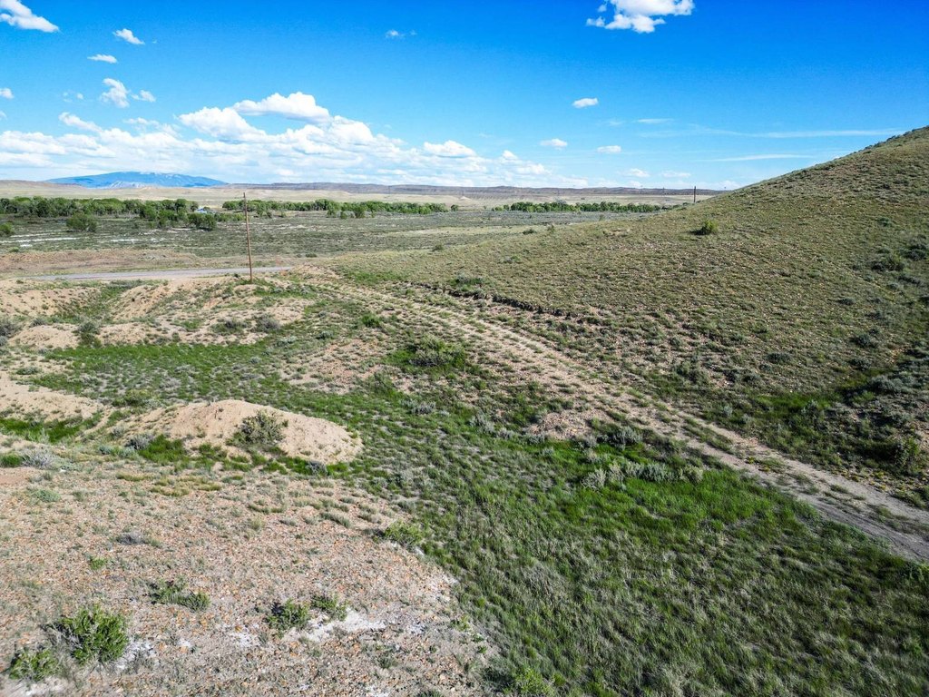
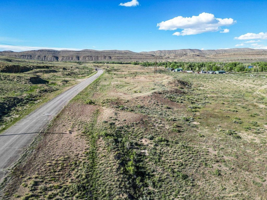
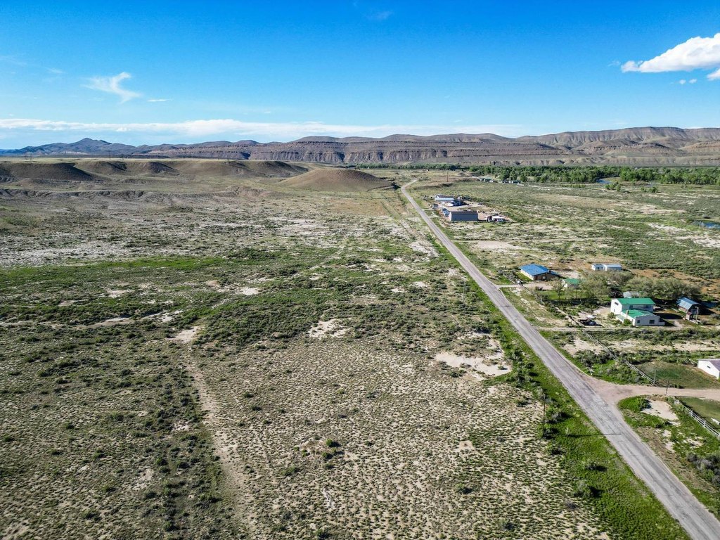
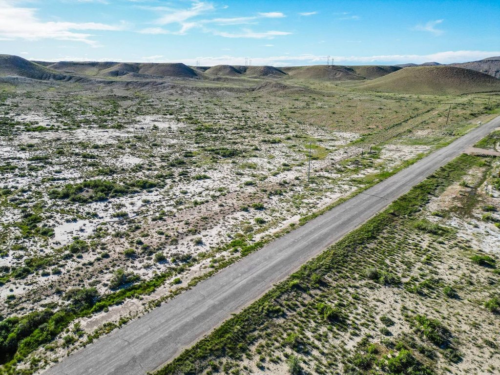
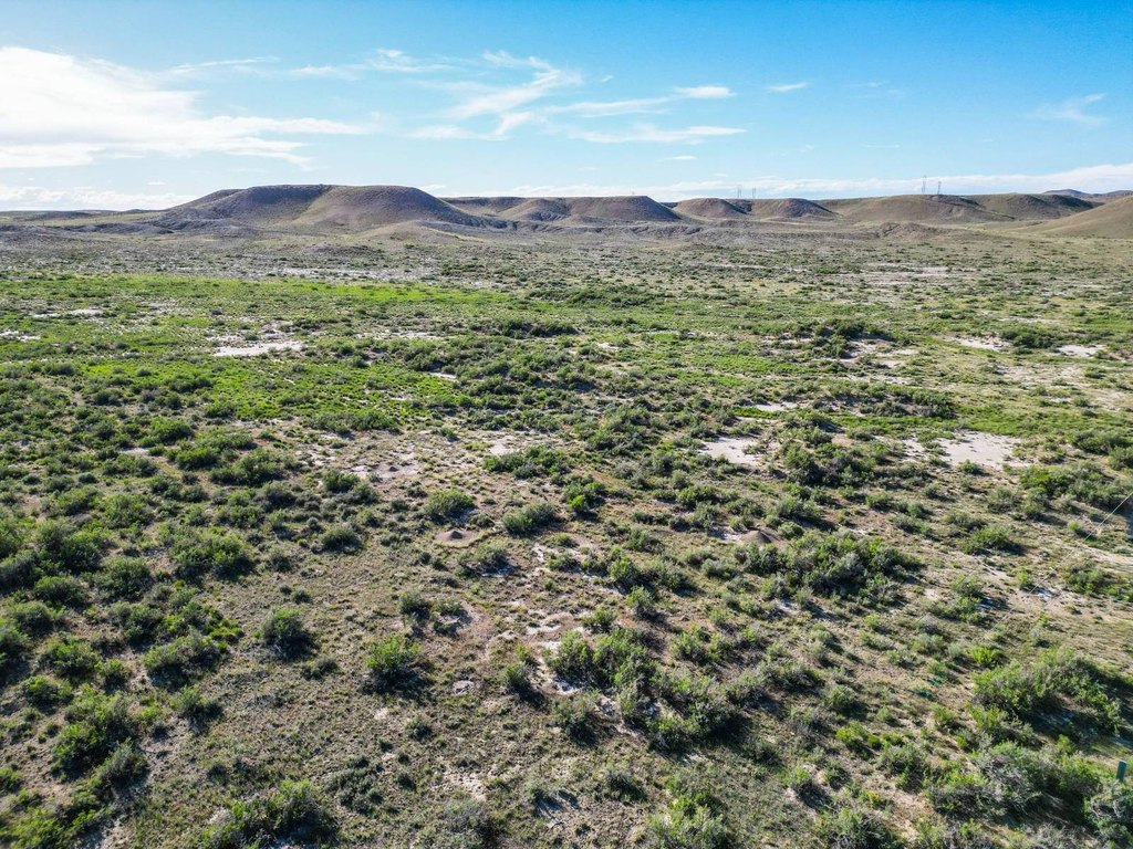
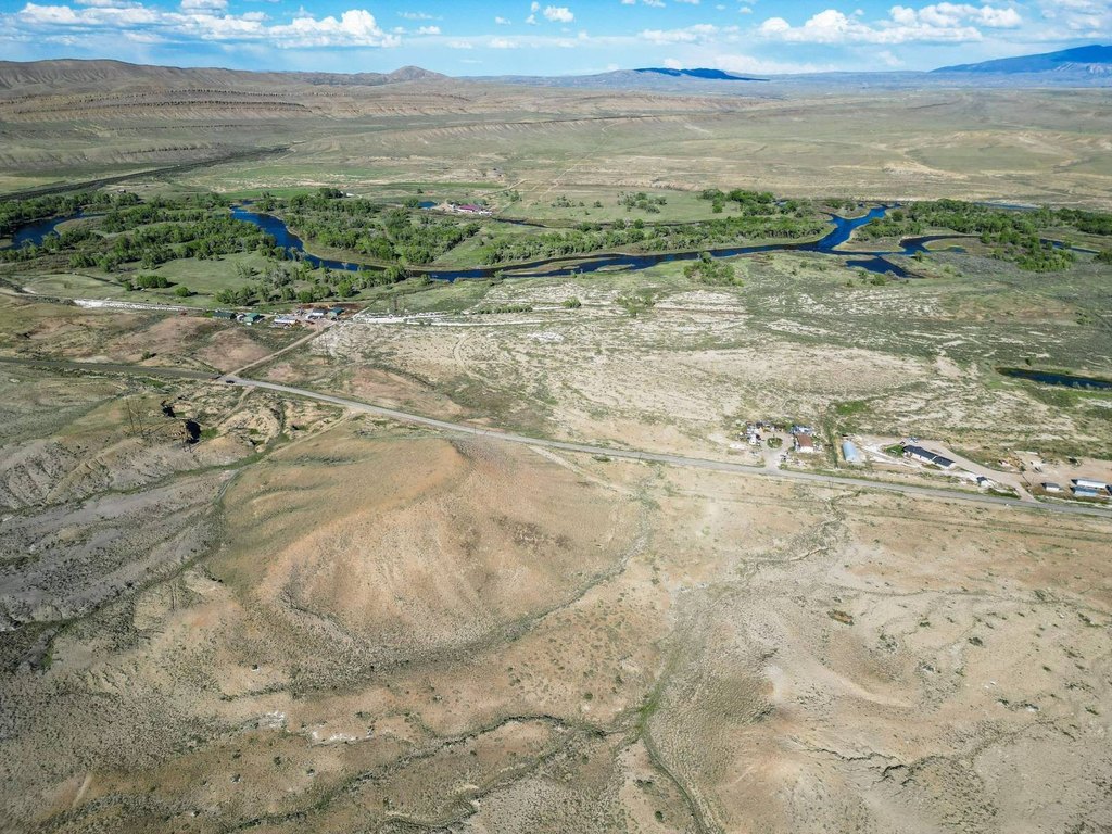
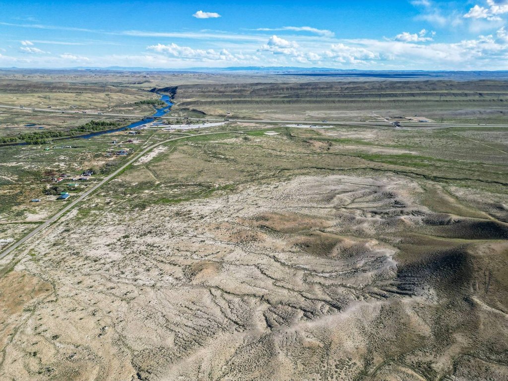
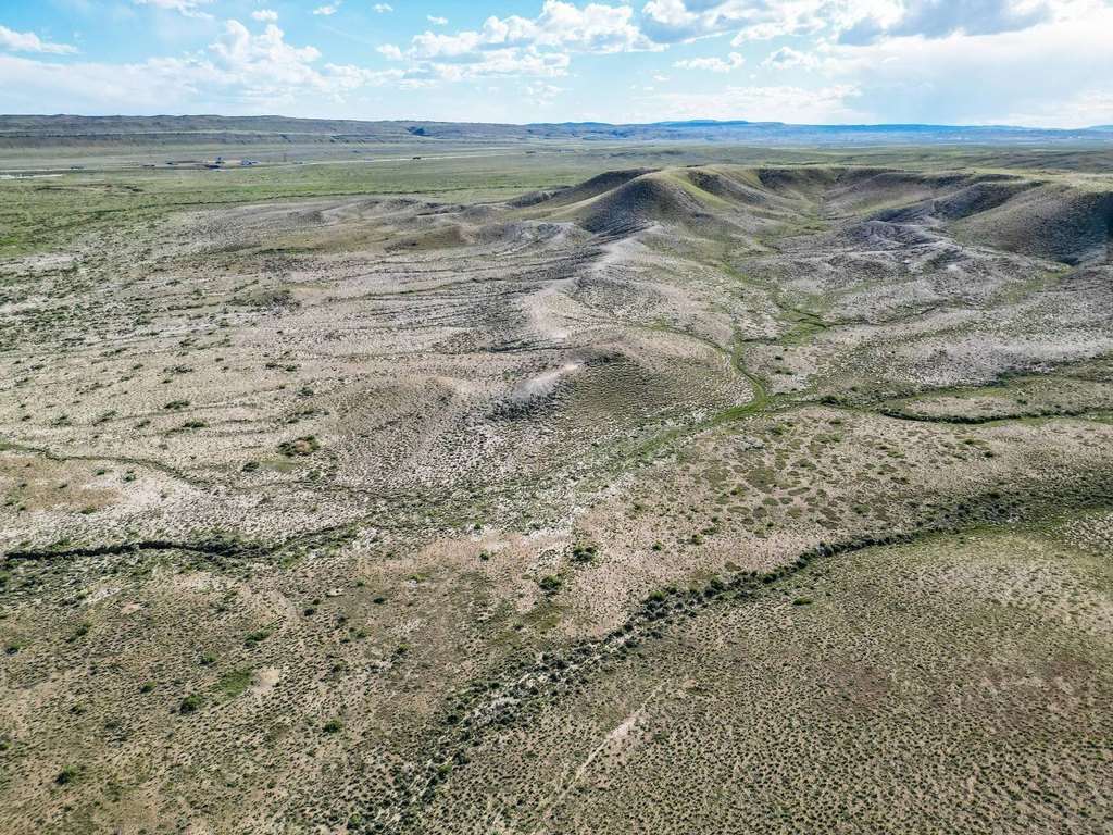
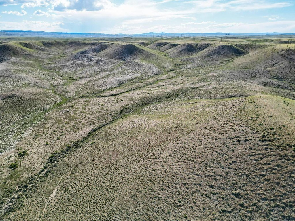
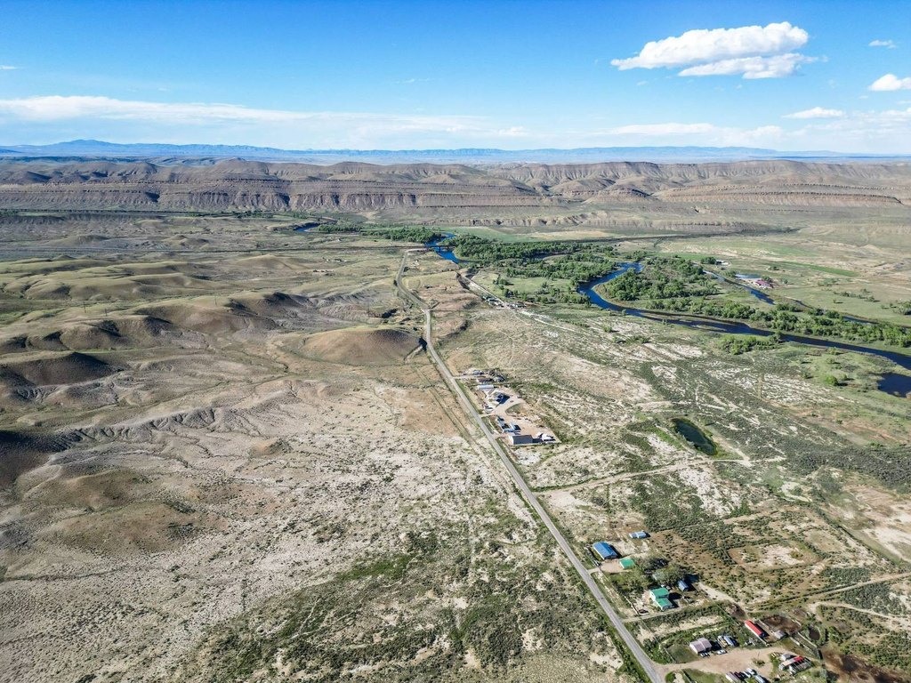
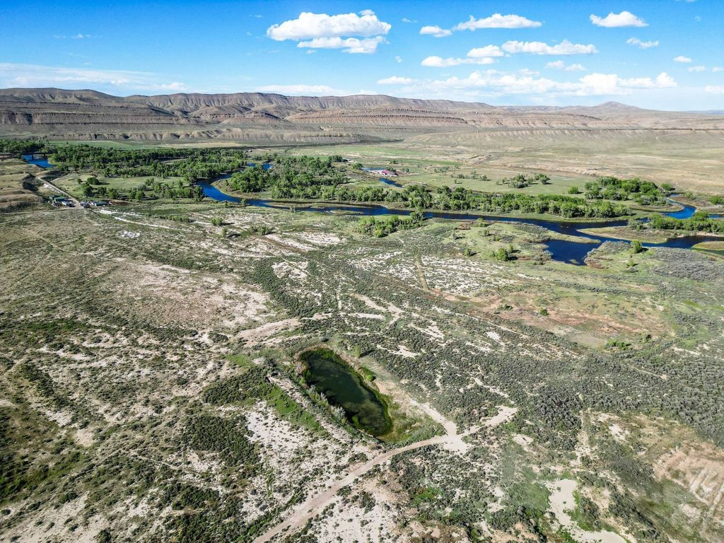
The offering is a 155.46-acre rural land parcel in Carbon County, Wyoming. The property is accessed from County Road 347, which runs directly through the land from north to south, supporting year-round usability. The listing notes that power lines run along County Road 347. The seller also advises that buildings visible in photos and video are not included, and a recently completed survey is available upon request.
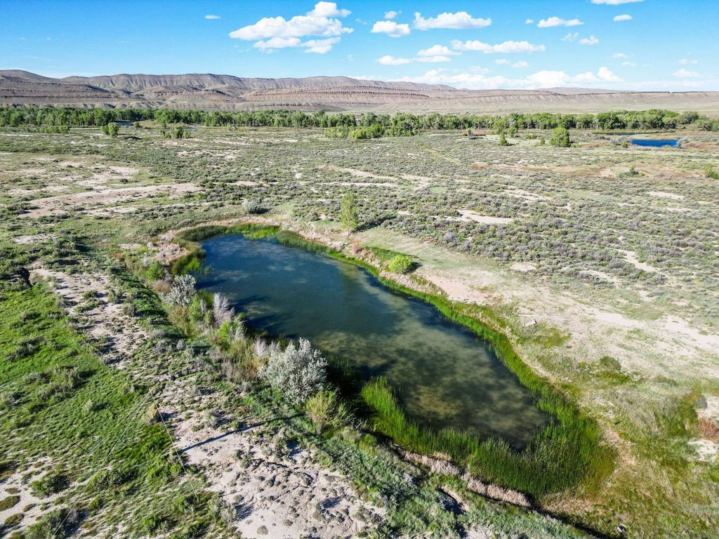
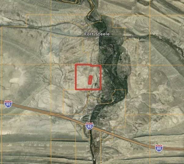
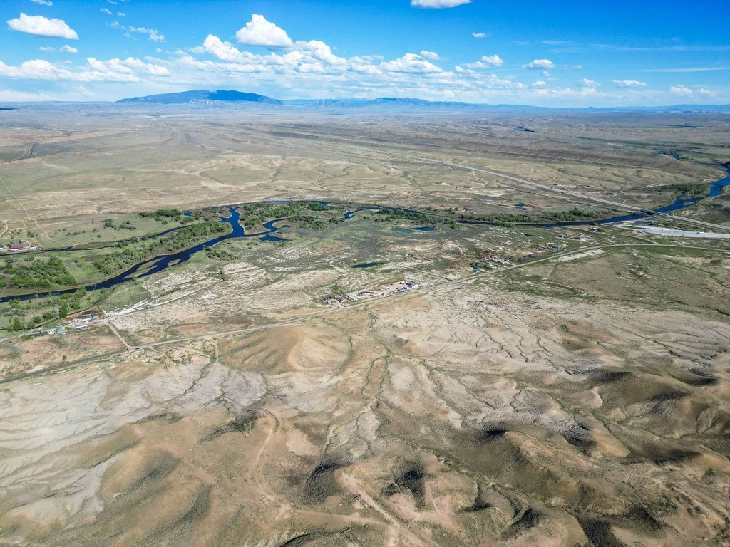
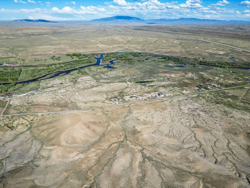
The property is described as being positioned near the historic Fort Steele Historic Site, with bordering adjacency along the northern boundary. The west boundary is described as having approximately 240 acres of BLM public land bordering it. The North Platte River valley and surrounding high plains views are noted, and a public access area for the North Platte River—Fort Steele/Rochelle—is described as lying just across the highway.
This acreage is best suited for buyers seeking open space for rural living or recreation, with established access through County Road 347 and nearby public recreation opportunities mentioned in the materials. If you are considering a homestead or weekend retreat approach, the combination of road-through access and utilities noted along the road may help streamline planning and site readiness. Buyers should review the boundary map and confirm all details independently, including survey information and what is included with the sale.
Key Highlights
- 155.46‑acre parcel in Carbon County, Wyoming for rural living, recreation, or investment.
- County Road 347 runs through the property north to south, providing year‑round access.
- Bordering the Fort Steele Historic Site along the northern boundary.
Property Analytics
Location Intelligence
Current Use
Frequently Asked Questions
What type of property is this?
Agricultural land / Farmland - 155-acre Wyoming parcel accessed via County Road 347, offering straightforward year-round entry and room for outdoor use.
Where is this agricultural land / farmland located?
The property is located at County Road 347 Fort Steele, WY.
What is the asking price?
The asking price for this property is $248,800.
What are key features of this property?
This property features: 155.46‑acre parcel in Carbon County, Wyoming for rural living, recreation, or investment.; County Road 347 runs through the property north to south, providing year‑round access.; Bordering the Fort Steele Historic Site along the northern boundary.


