FM HWY 272, Leonard, TX 75452
- Added:
- Jun 5, 2026
- Days on Market:
- 2
- Last Refresh:
- Jun 6 at 12:06 am
Property Features for FM HWY 272
General Information
- Property type
- Land
- Property subtype
- Other
- Vegetation
- Crops, Grassed
- Standard status
- Active
- APN
- 000000072386
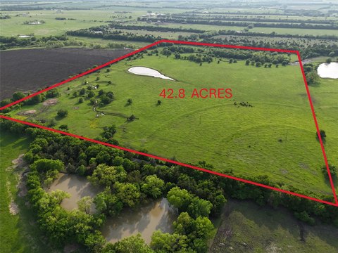
- Lot size
- 77.17 Acres
Taxes and HOA fees
- Tax Description
- A0177 D CULLIN, ACRES 56.23
- Tax Annual Amount
- 216
Building Details
- Architectural style
- Other
Listing agent DAVID NORMAN License #0349513 (903) 587-9898
Listing office DAVID NORMAN LAND COMPANY Leonard, TX (903) 587-9898
Listing date Jun 5, 2026
Copyright © 2026 North Texas Real Estate Information Systems, Inc. All rights reserved. All information provided by the listing agent/broker is deemed reliable but is not guaranteed and should be independently verified.
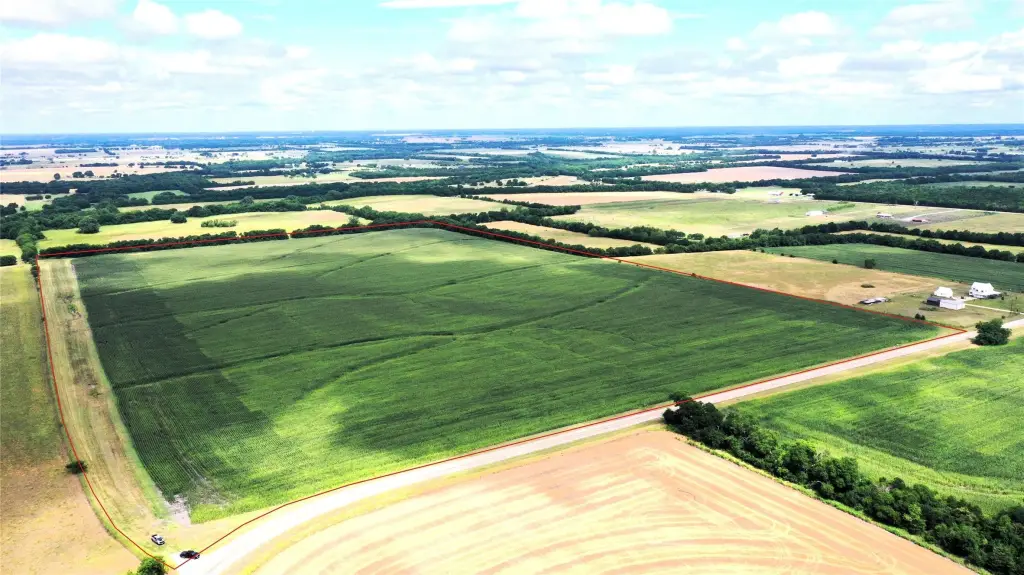
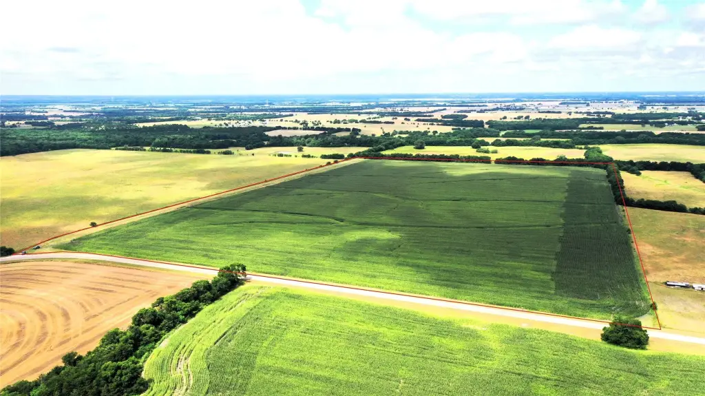
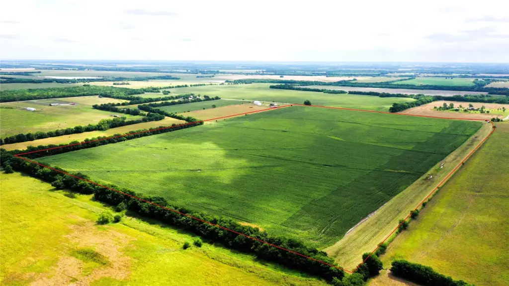
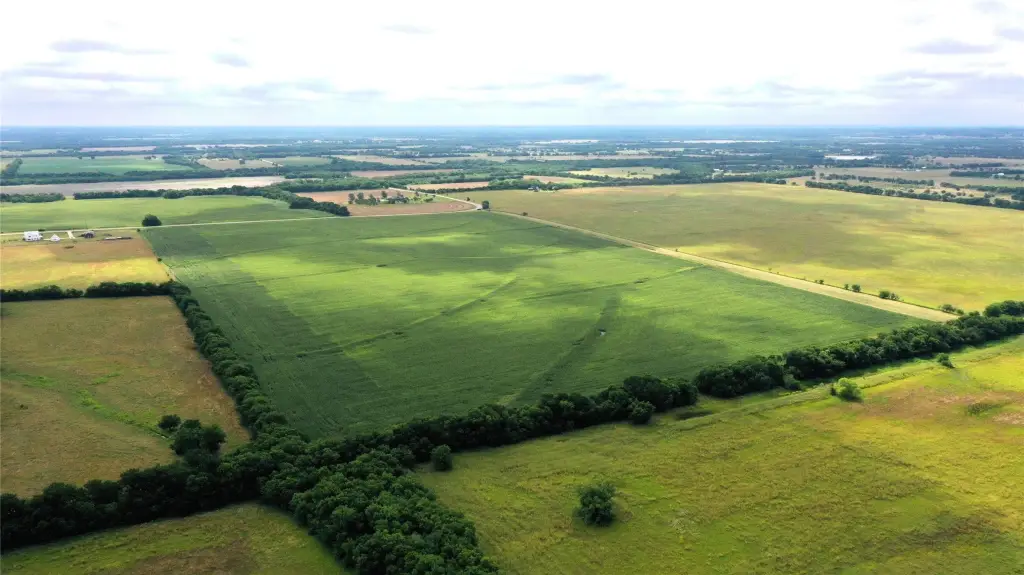
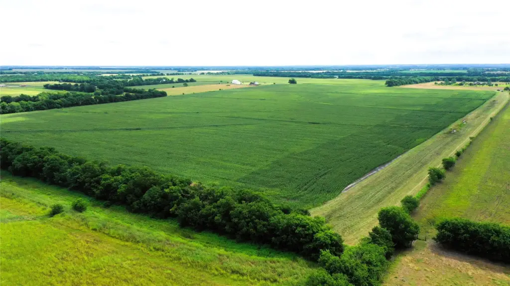
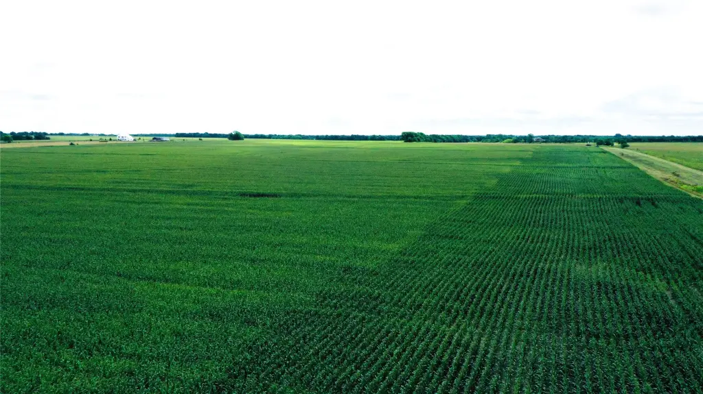
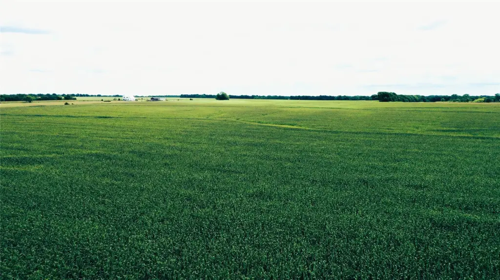
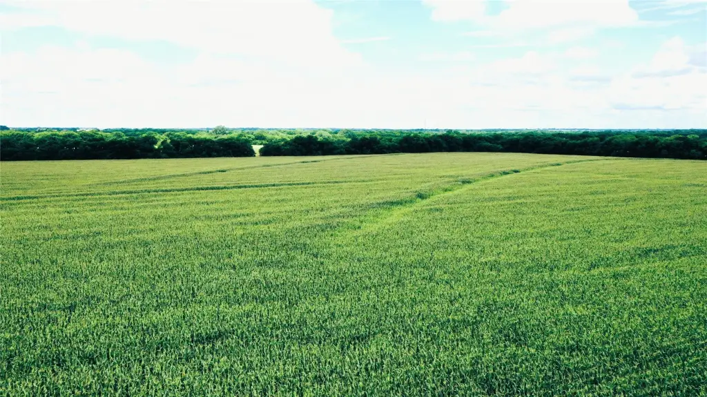
HighLights
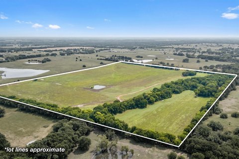
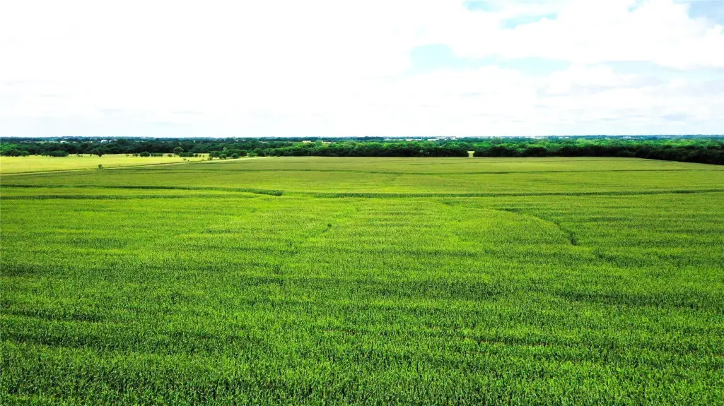
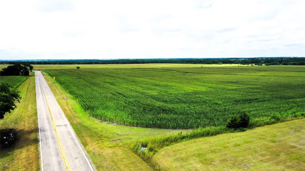
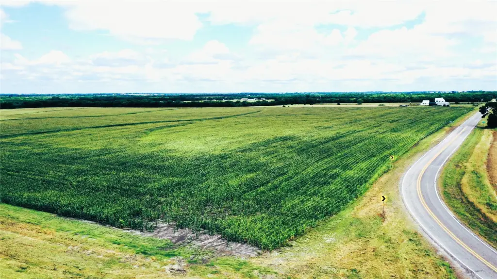
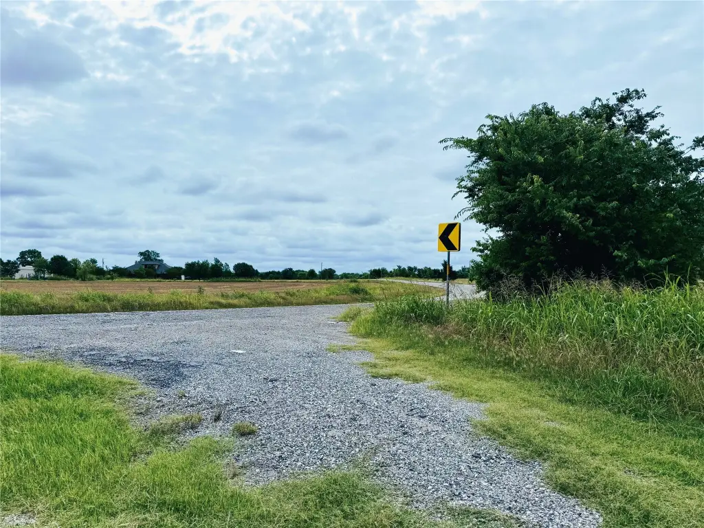
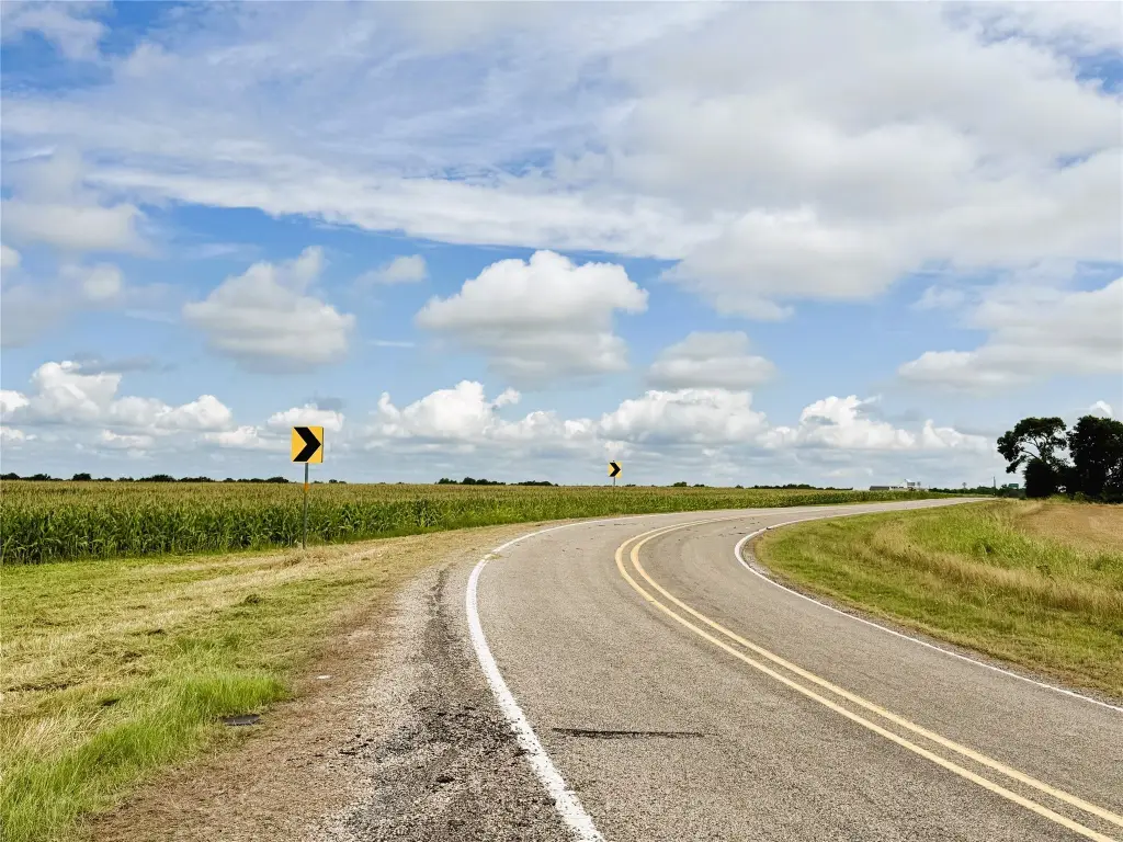
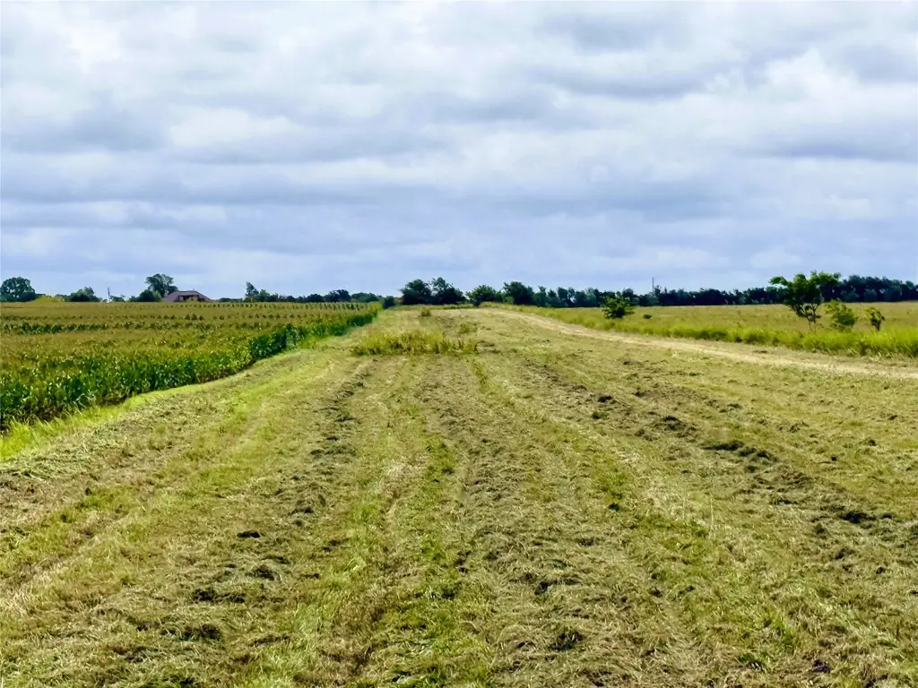
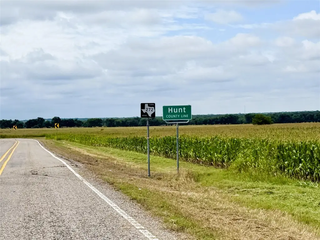
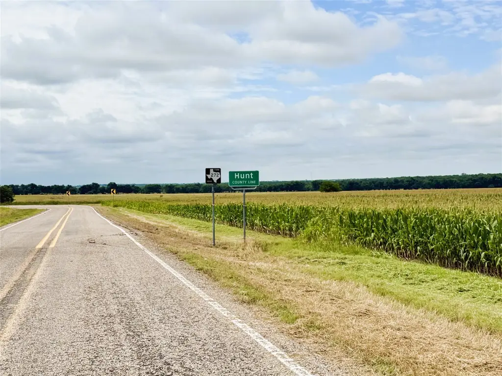
- Row crop farm east of Leonard on FM 272 with approximately 1,548 ft of FM frontage
- Additional approximately 2,389 ft of frontage along Hunt County Road 1055
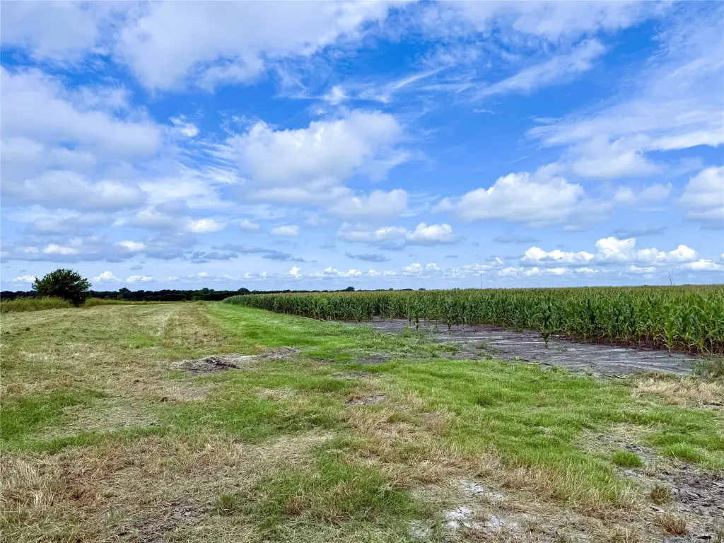
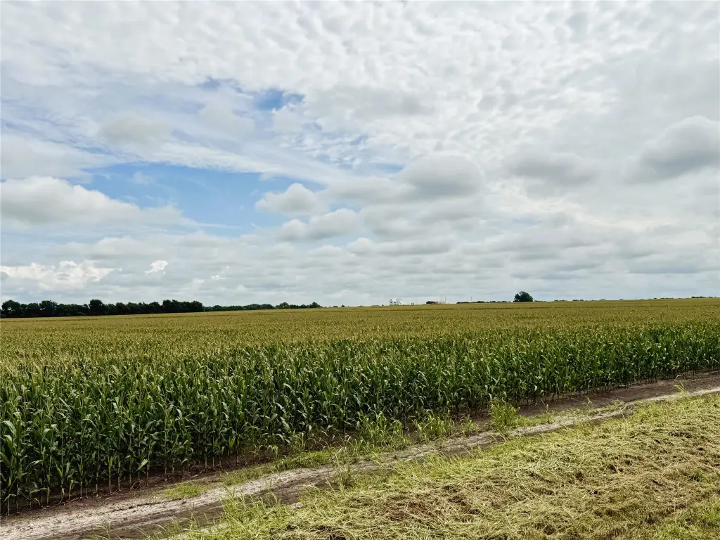
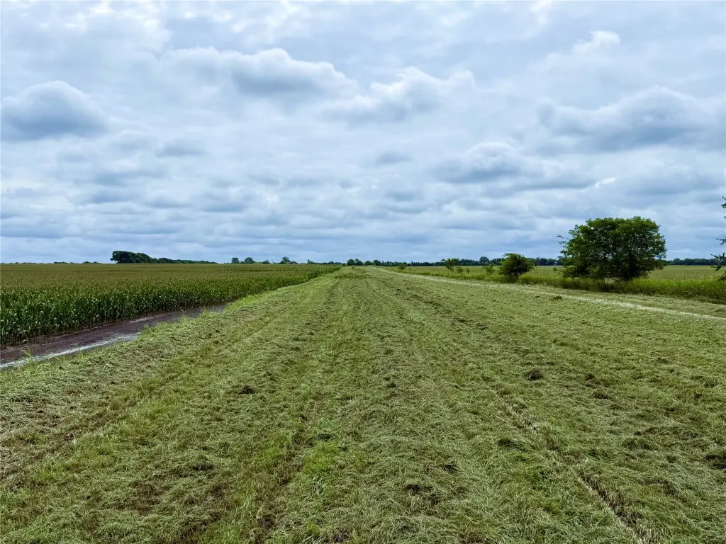
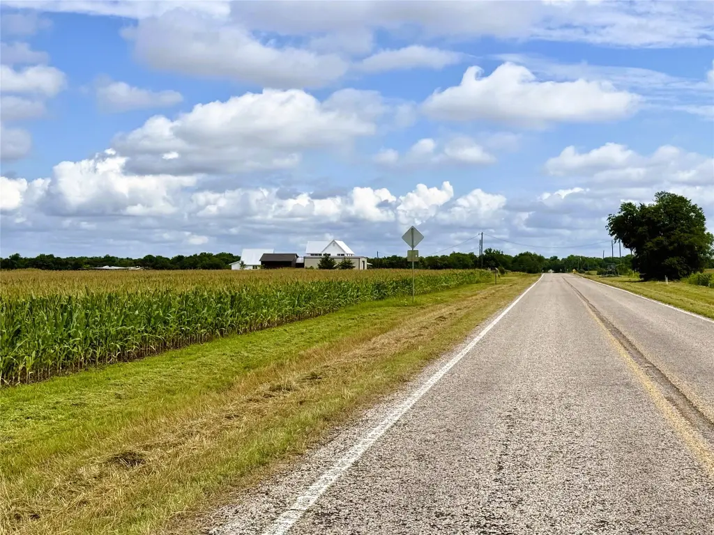
- Agricultural exemption in place; good soils and an excellent cropping history including corn, wheat, and soybeans
- Nearly the entire tract is under cultivation, currently planted in corn to be harvested in August
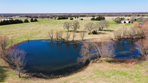
- No acreage falls within a FEMA designated floodplain
- Tenant farmer currently in place
Overview
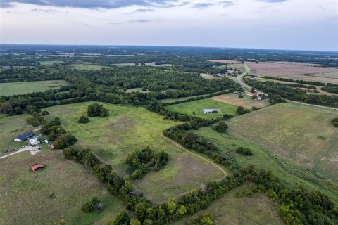
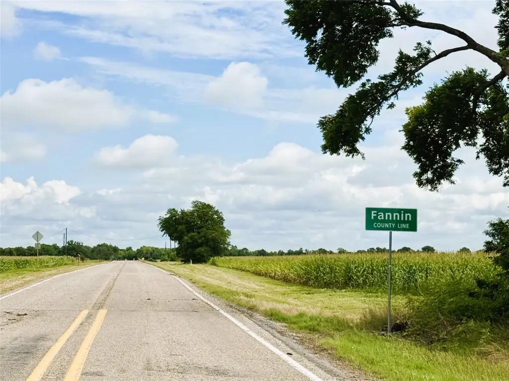
The tract is located in the Fannin County and Hunt County corridor, just east of Leonard, along FM 272. The listing notes approximately 1,548 feet of frontage along FM 272, plus about 2,389 feet along Hunt County Road 1055. The extensive road frontage is described as creating flexibility for future division into smaller tracts.
For buyers seeking a working agricultural asset, the property offers a current crop and a cultivation-focused configuration with ongoing tenant occupancy. For those looking for land with multiple access points and subdivision flexibility, the reported frontage along both FM 272 and Hunt County Road 1055 provides a practical framework for considering future tract planning. The absence of acreage within a FEMA-designated floodplain is also a stated point of consideration for long-term use.
Current Use by Public Records
Map
- City
- Leonard
- County
- Fannin
- State
- Texas
- Longitude
- -96.1814189
- Latitude
- 33.3681052