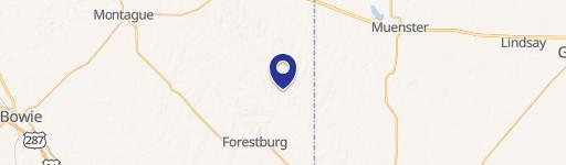
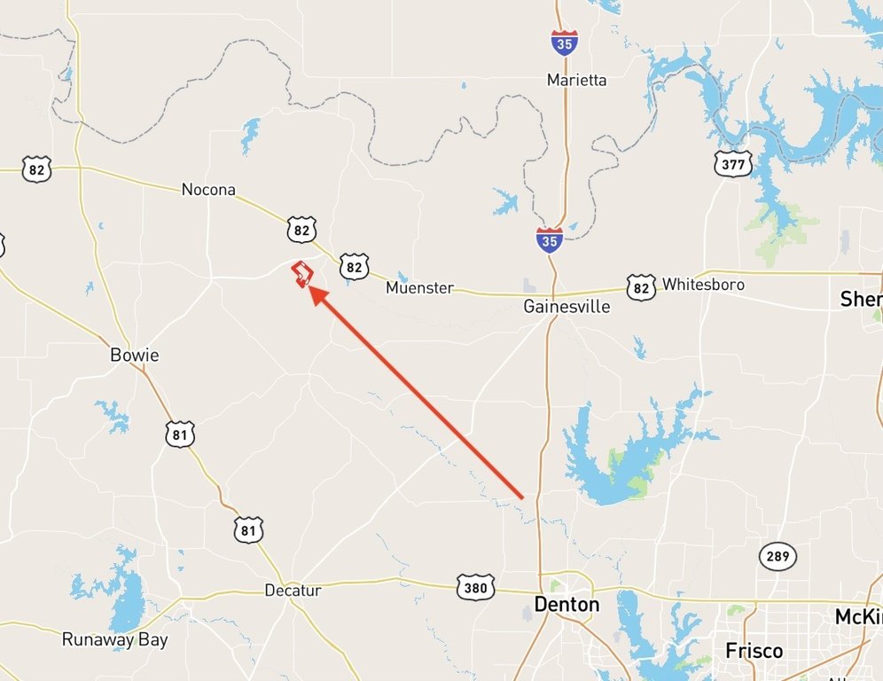
FM 3206, Saint Jo, TX 76265

- Added:
- May 21, 2026
- Days on Market:
- 15
- Last Refresh:
- Jun 4 at 4:06 am
Property Features for FM 3206
General Information
- Property type
- Land
- Property subtype
- Other
- Exterior features
- Dock, FirePit, Storage
- Standard status
- Active Under Contract
- APN
- R000015116
- Lot size
- 1,185.00 Acres
Taxes and HOA fees
- Tax Description
- see legal description
- Tax Annual Amount
- 194
Utilities
- Water source
- Well
Building Details
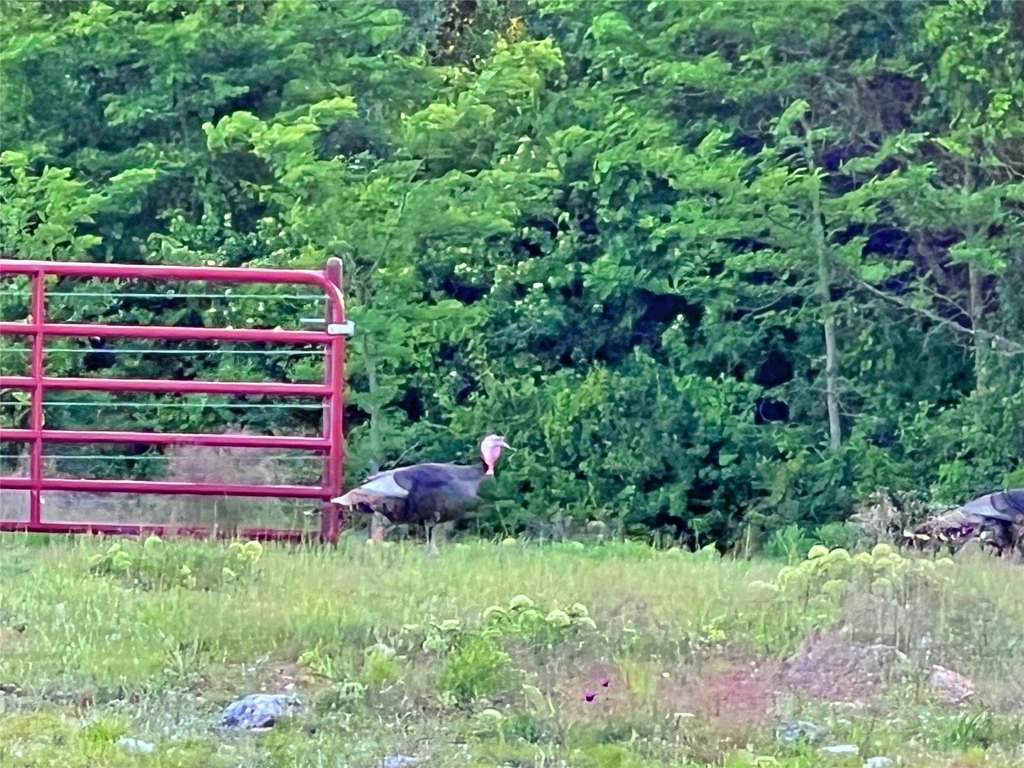
- Additional Structures
- Corral(s), Storage

Listing agent Jared Groce License #0584362 (972) 931-1400
Listing office Mossy Oak Properties- Cross Timbers Land & Home, LLC 200 N. Dixon St., Dallas, TX (940) 600-1313
Listing date May 21, 2026
Copyright © 2026 North Texas Real Estate Information Systems, Inc. All rights reserved. All information provided by the listing agent/broker is deemed reliable but is not guaranteed and should be independently verified.
HighLights
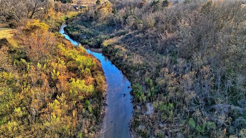
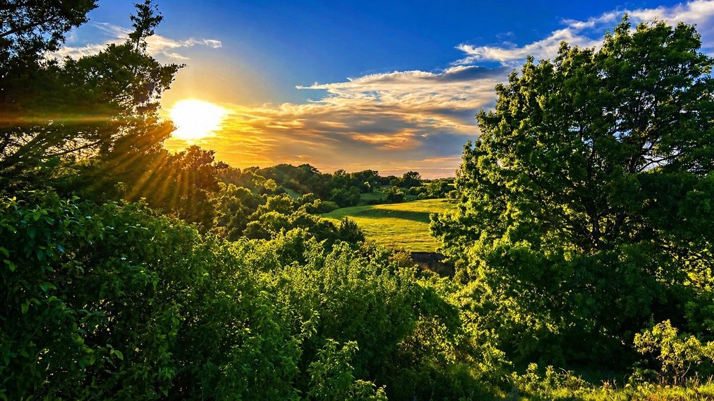
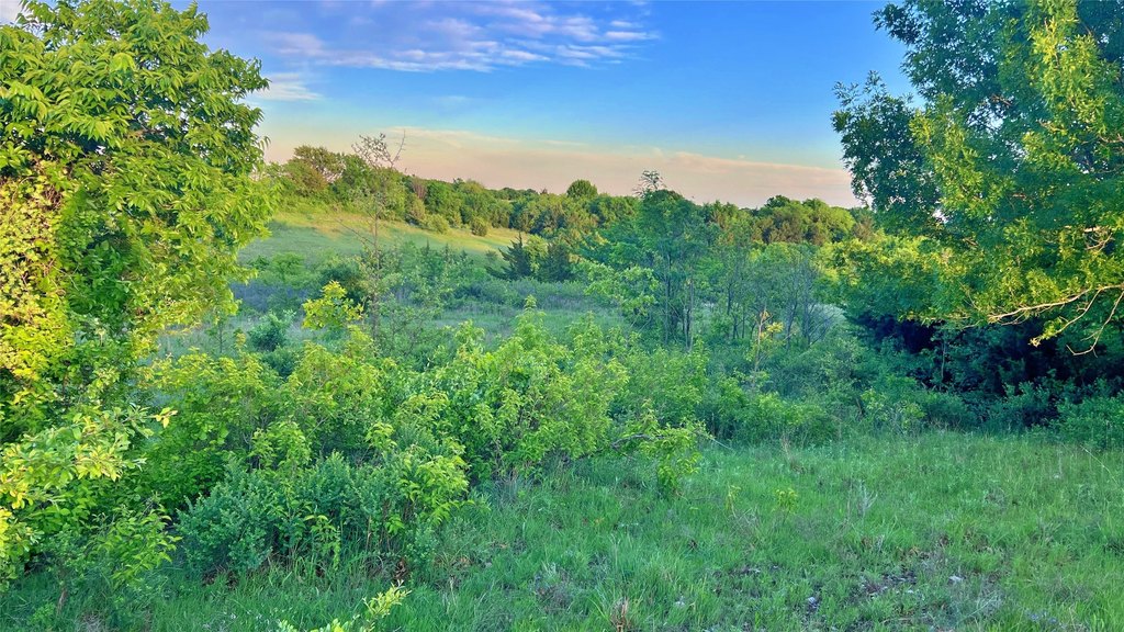
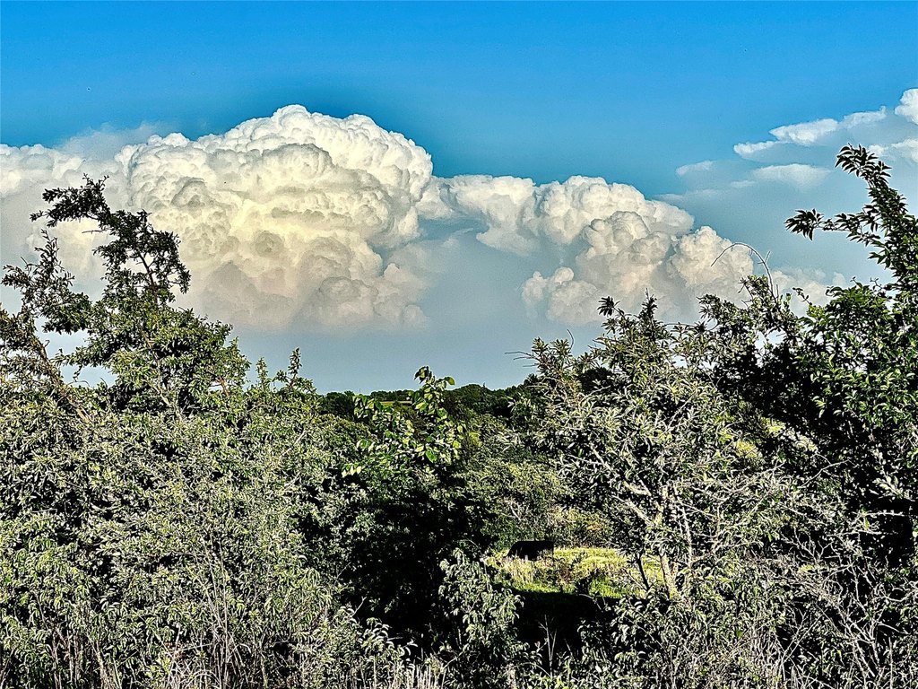
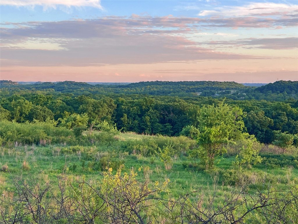
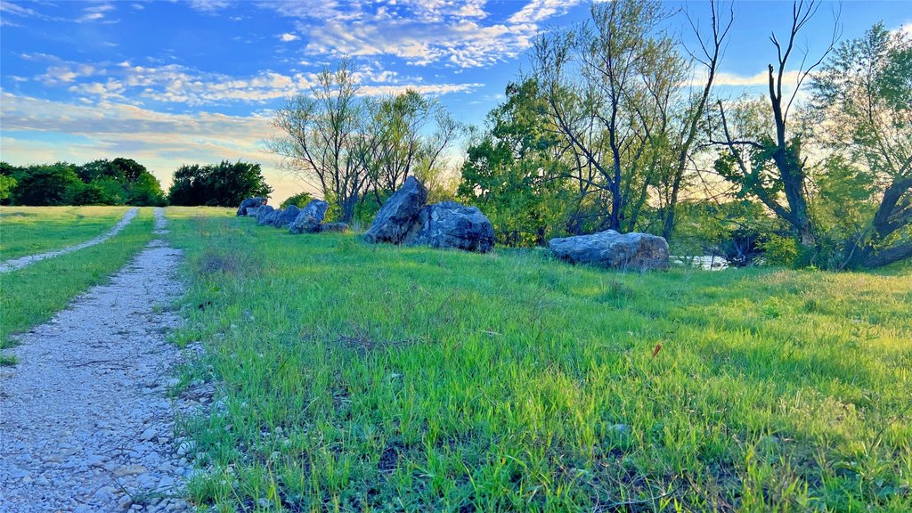
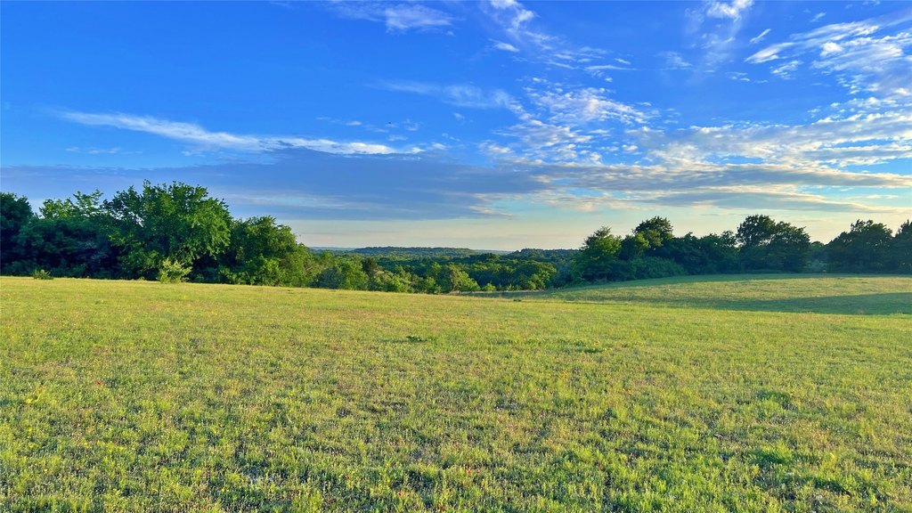
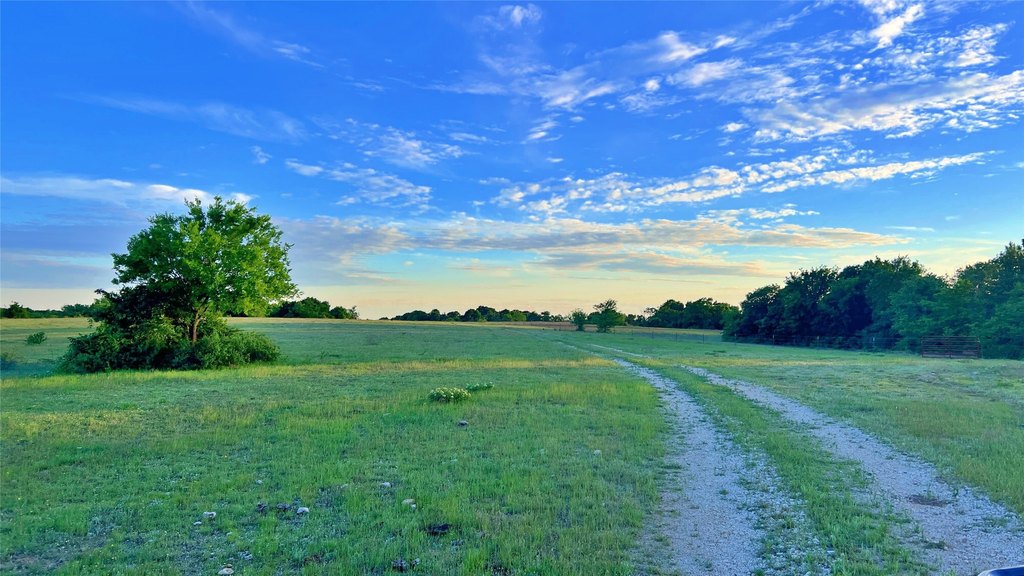
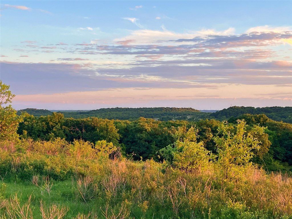
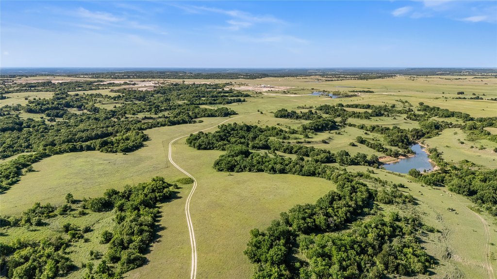
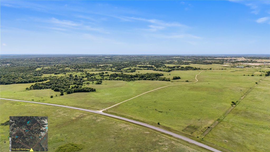
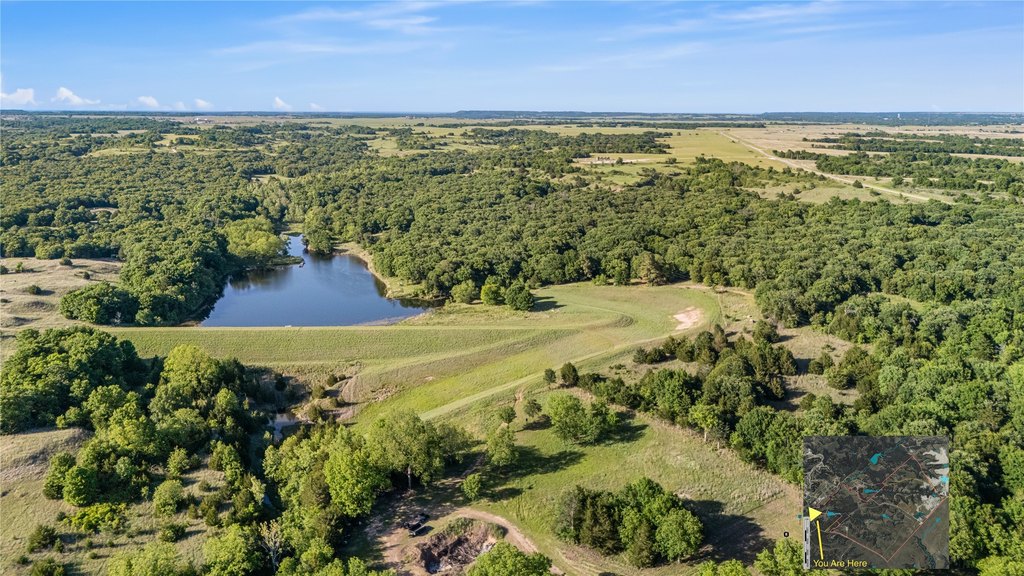
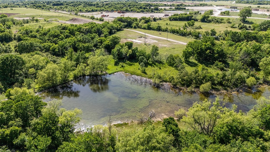
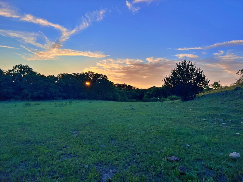
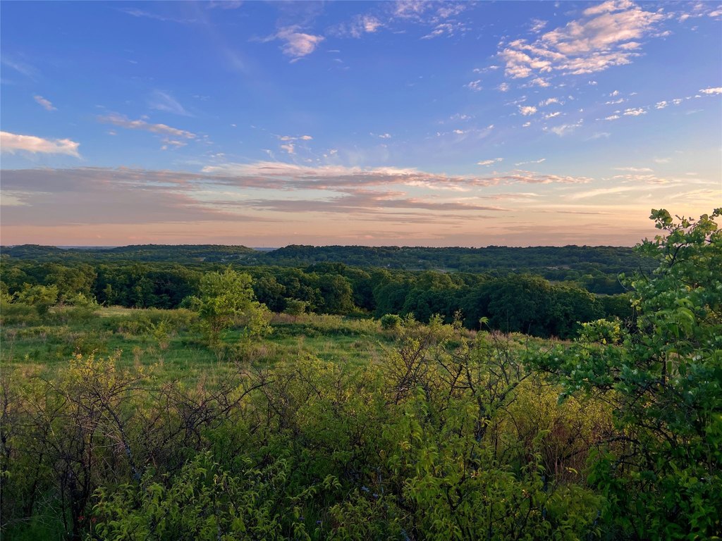
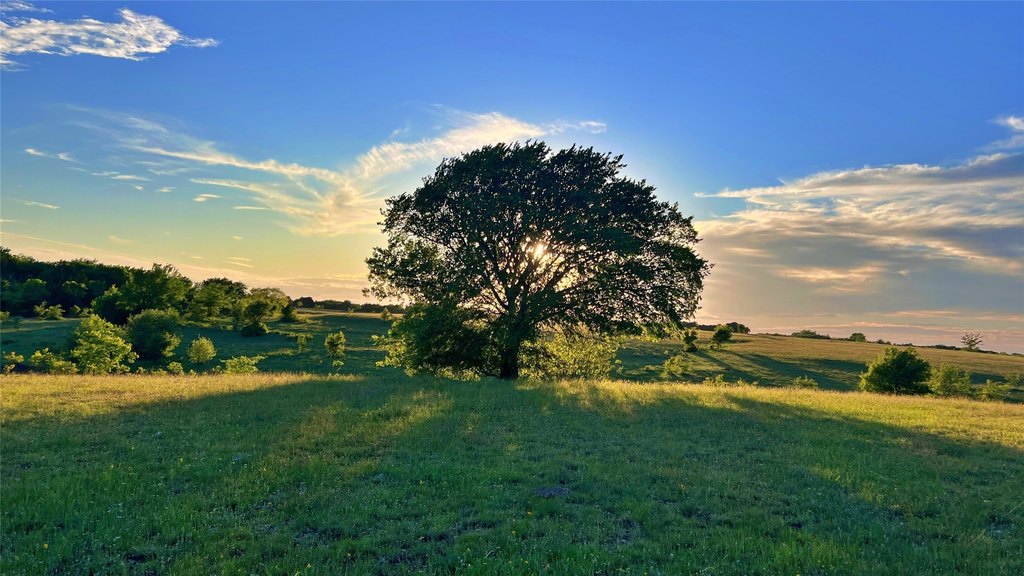
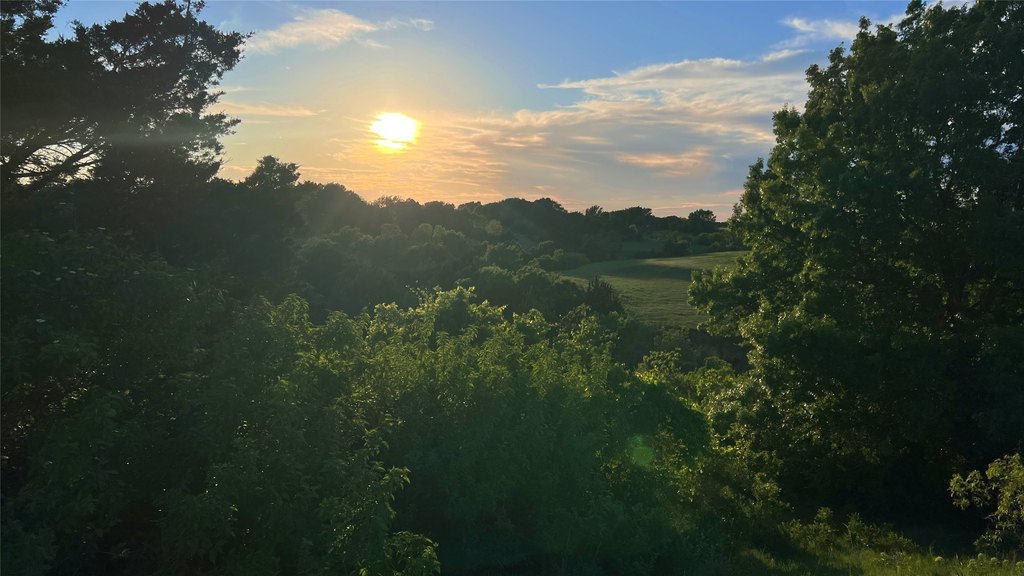
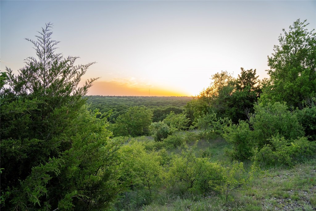
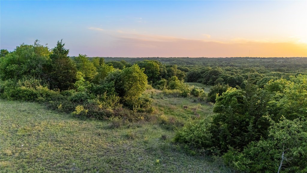
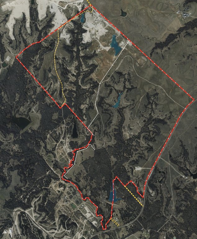
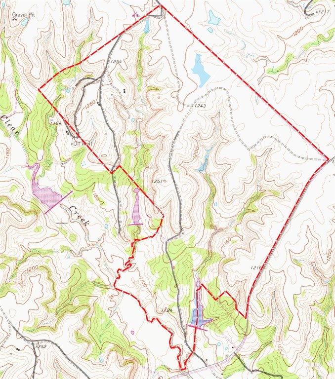
- 1,185 contiguous acres of legacy ranch land with high‑elevation bluffs and Clear Creek along the southeast boundary (~0.9 mile).
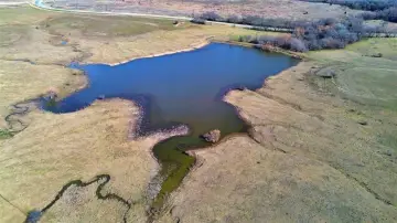
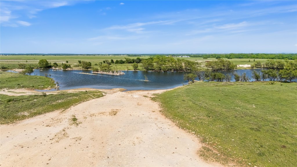
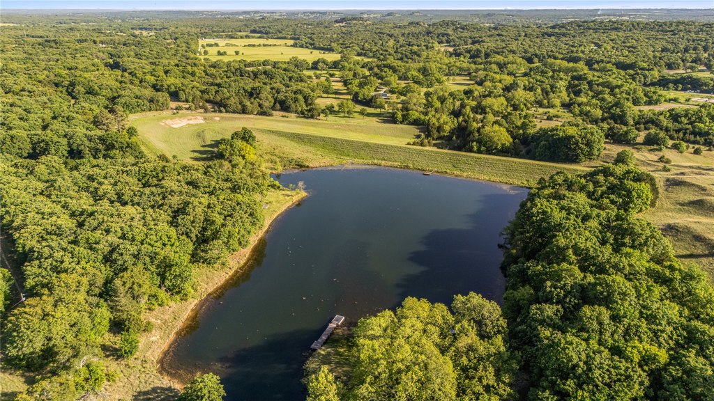
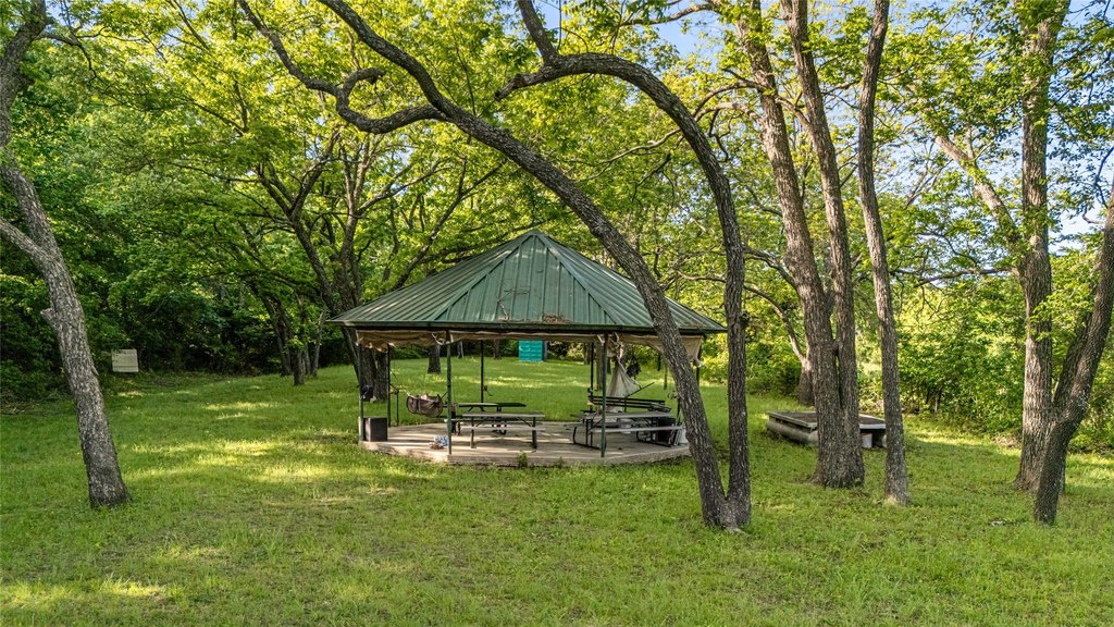
- Multiple lakes on the property: Quarry Lake (~6.45 acres), Twin Oaks Lake (~2.4 acres), and Sparrow Hawk Lake (~6 acres) with park amenities.
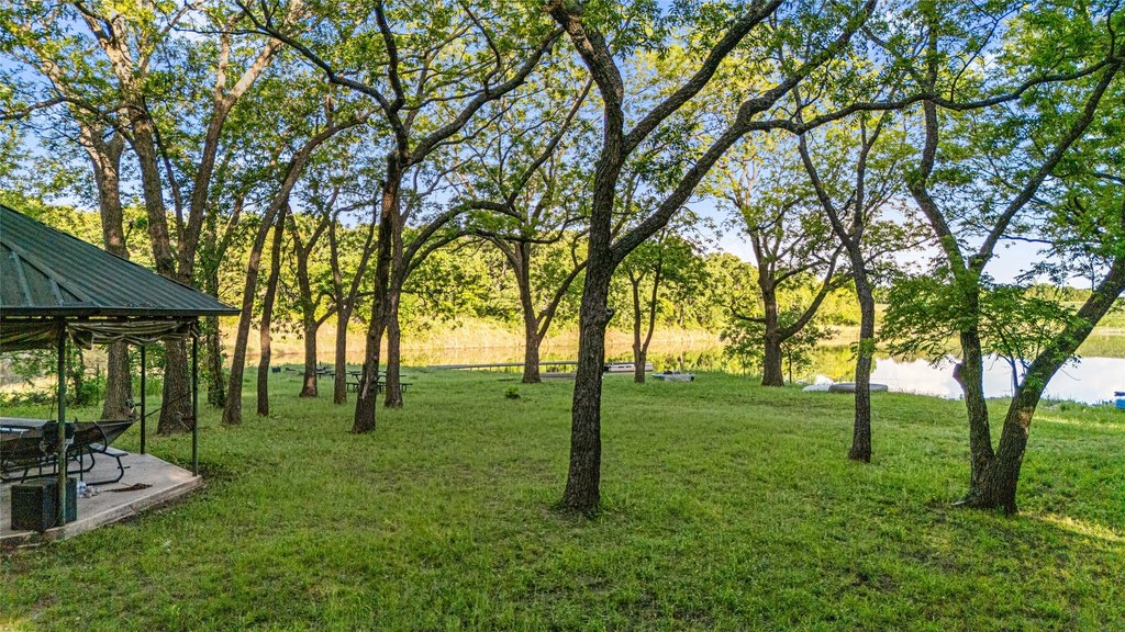
- Sparrow Hawk Lake includes a gazebo, dock, firepits, and a toilet.
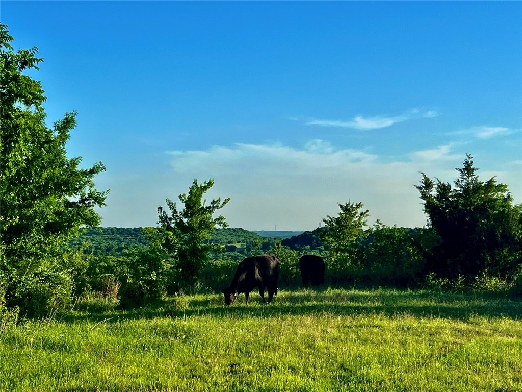
- Water features include wells (including a large capacity storage tank) plus natural springs in the valley bottoms for year‑round water for wildlife and livestock.
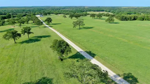
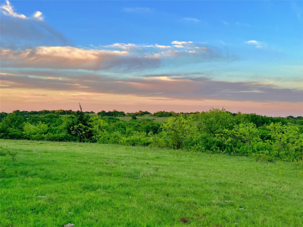
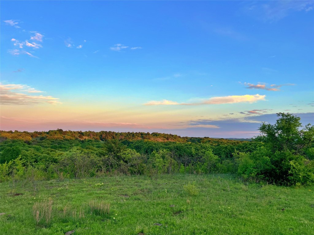
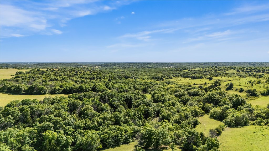
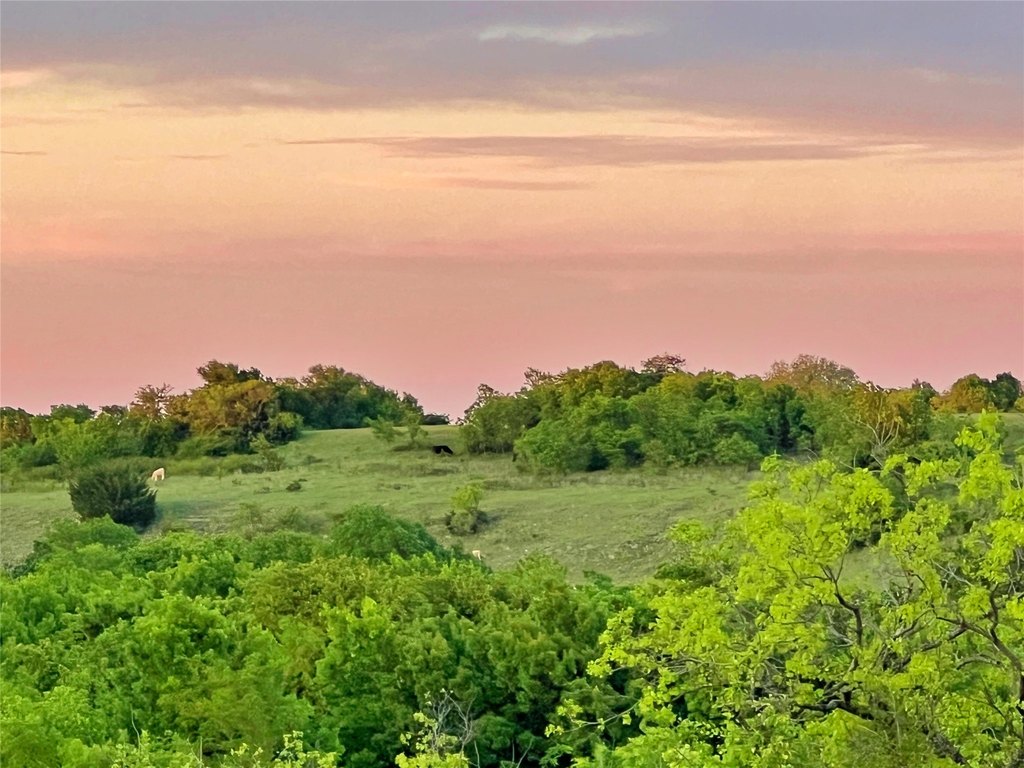
- Land mix: approximately 55% wooded (varied species including white/red oaks, pecan, hickory, walnut, persimmon, elm) and 45% grassland (including improved bermudagrass).
- Improvements include a brick camphouse (former gravel mine office) with two rooms, restroom, and a 30x40 all‑metal workshop; electrical lines are established in several locations.
Overview
Historically, the northwestern portion of the ranch was used as a gravel mine. Reclaiming processes have produced a crystal-clear lake with a second lake under construction. Clear Creek forms the southeastern boundary for approximately 0.9 mile. A brick office building was used for the gravel mine and is currently used as a camp house, and the site also has an all-metal 30x40 workshop. Water wells and an electrical presence are established in several locations across the property.
This acreage is well-suited for buyers seeking a ranch-and-recreation property with diversified terrain, established water sources, and functional ranch improvements such as cattle pens, fencing, and roads. The combination of pasture, timber variety, and multiple lakes supports broad day-to-day operating flexibility for livestock and outdoor use.
Current Use by Public Records
Map
- City
- Saint Jo
- County
- Montague
- State
- Texas
- Longitude
- -97.575127
- Latitude
- 33.650654