High-Visibility Industrial Development
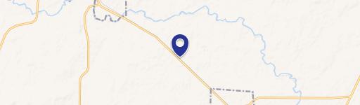
FM 2123 Paradise, TX 76073
FM 2123, Paradise, TX, 76073
$275,000
For Sale
$275,000
LAND - Paradise, TX
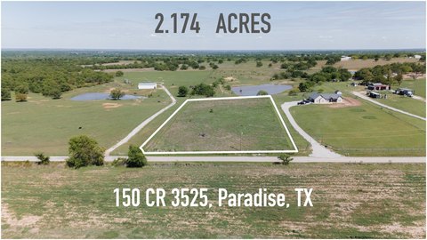
Lot Size1.71 Acres
Days on Market136
Property Features for FM 2123
General Information
- Property type
- Land
- Property subtype
- Other
- Vegetation
- Cleared
- Standard status
- Active
- APN
- 200002005
- Lot size
- 1.71 Acres
Taxes and HOA fees
- Tax Description
- A-534 MATAGORDA CSL 1.711 ACRES
- Tax Annual Amount
- 1704
Listing Agency
Coldwell Banker Realty
(214) 453-1850
Flower Mound, TX
Listed by
Bonnie Jill Lee · License #0826300
(972) 691-7580
Added: Mar 5 Checked: Jul 19 at 7:06 am
MLS# 21198752
Listing URL
Copyright © 2026 North Texas Real Estate Information Systems, Inc. All rights reserved. All information provided by the listing agent/broker is deemed reliable but is not guaranteed and should be independently verified.
Investment Insights
Based on property information with market context.
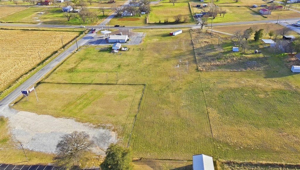
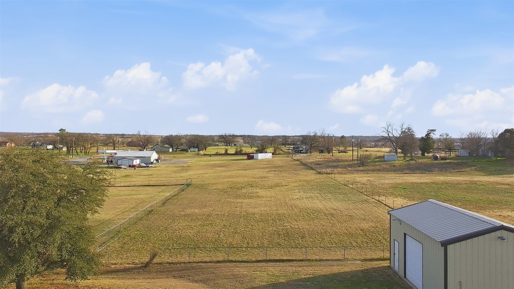
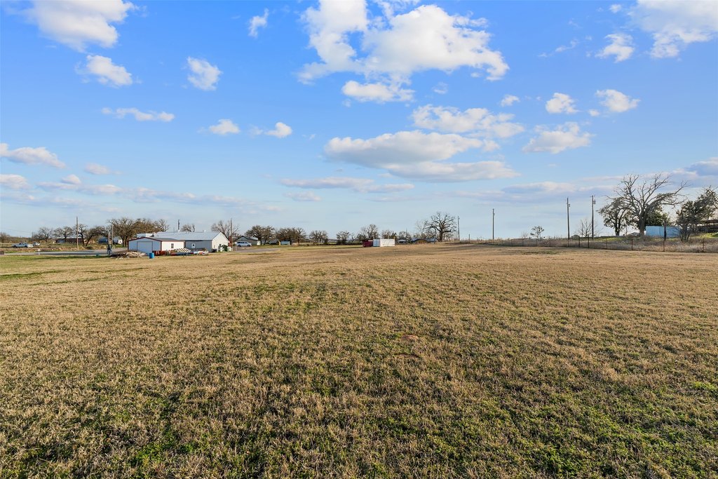
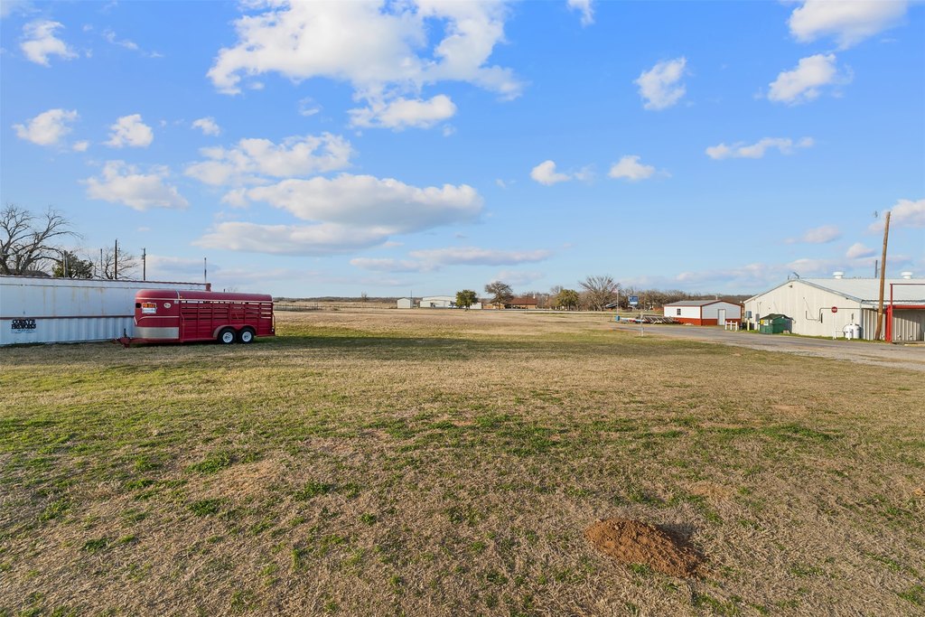
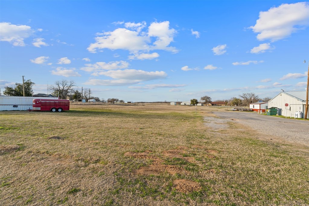
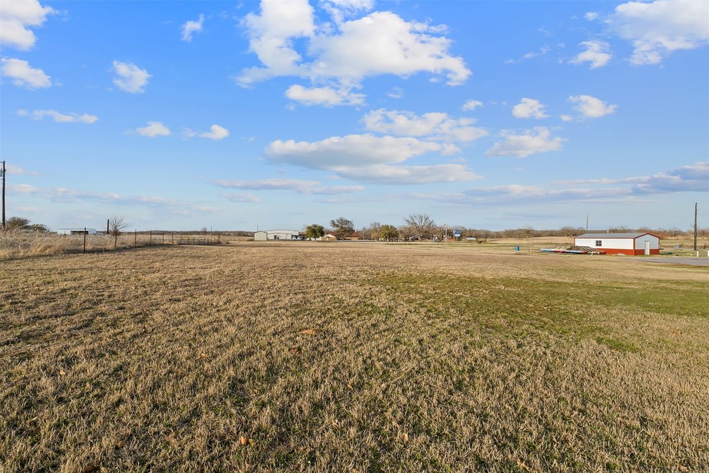
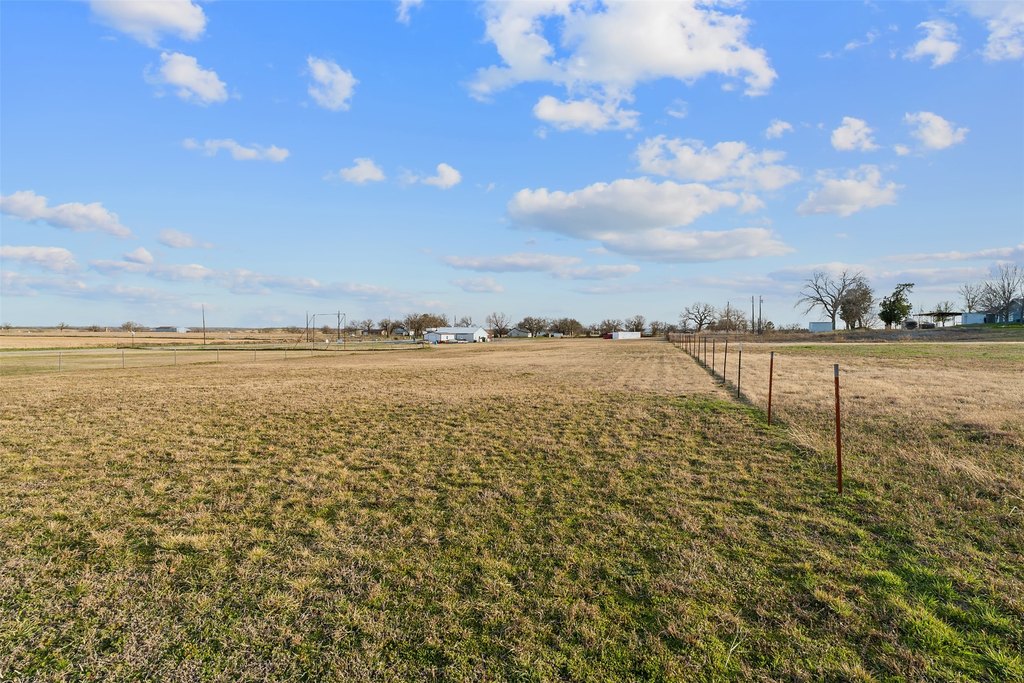
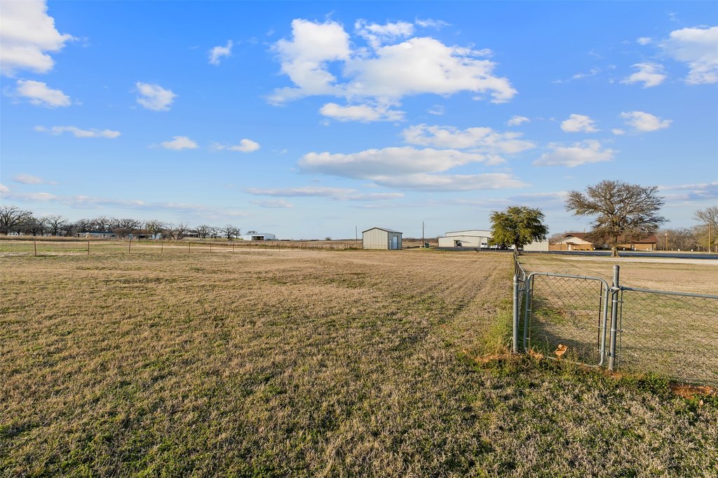
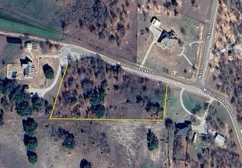
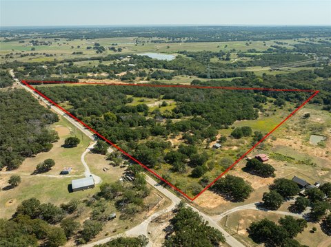
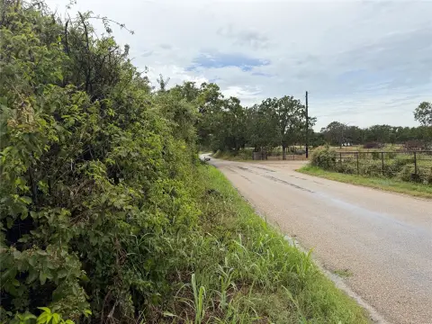
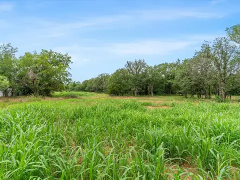
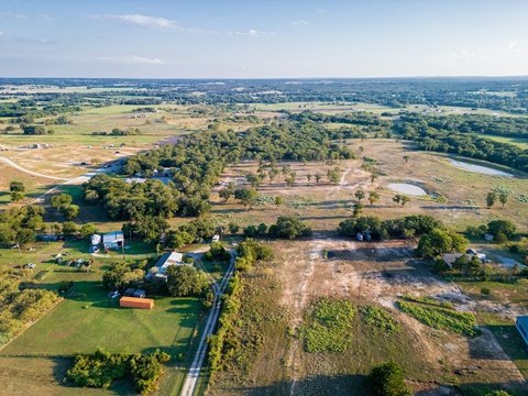
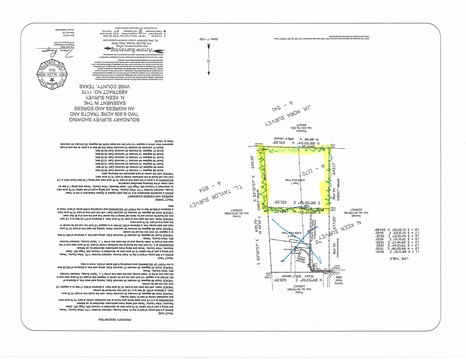
Prime cleared and level industrial development land offered as a 1.71-acre tract with approximately 139 feet of highway frontage on FM 2123. The site’s depth ranges roughly from 386 to 528 feet, creating usable configuration for a range of operator needs and investment concepts. The property is positioned outside city limits in unincorporated Wise County and is described as having no city zoning, with septic required and electric available through Tri-County Electric Cooperative and rural water service nearby through West Wise SUD. A survey is available.
The tract is in a highly visible location directly next to Cottondale Grocery and a Shamrock fuel station, offering exposure along a well-traveled corridor. The marketing materials estimate 1,500+ vehicles per day, and the location supports development and business uses that benefit from easy pass-by visibility.
With highway frontage and a cleared, ready-to-use footprint, this land is well matched for tenants, buyers, and developers seeking flexibility for a contractor yard, equipment storage, truck parking, a shop, small retail, or other mixed commercial applications. The absence of city zoning and the noted utility situation support a practical path for planning, subject to independent verification of boundaries, utility capacity, and any development requirements.
Key Highlights
- 1.71‑acre cleared, level tract with approx. 139 ft of highway frontage on FM 2123 in Cottondale, TX
- Located next to Cottondale Grocery and a Shamrock fuel station, providing frontage along a well‑traveled corridor
- Unincorporated Wise County outside city limits with no city zoning mentioned, and no MUD or PID taxes reported
Property Analytics
Property Profile
Location Intelligence
Current Use by Public Records
Commercial land
Similar For Sale Nearby
FAQs
What type of property is this?
Commercial land - Cleared, level tract with substantial highway frontage, suited for flexible contractor, storage, or retail-oriented development plans.
Where is this commercial land located?
The property is located at FM 2123 Paradise, TX.
What is the asking price?
The asking price for this property is $275,000.
What are key features of this property?
This property features: 1.71‑acre cleared, level tract with approx. 139 ft of highway frontage on FM 2123 in Cottondale, TX; Located next to Cottondale Grocery and a Shamrock fuel station, providing frontage along a well‑traveled corridor; Unincorporated Wise County outside city limits with no city zoning mentioned, and no MUD or PID taxes reported


