Ms-553, Fayette, MS 39069

- Added:
- Jun 17, 2026
- Days on Market:
- 11
- Last Refresh:
- Jun 27 at 9:06 pm
Property Features for Ms-553
General Information
- Property type
- Land
- Property subtype
- Other
- Standard status
- Active
- APN
- 0070-38-010
- Lot size
- 105.00 Acres
Taxes and HOA fees
- Tax Year
- 2025
- Tax Description
- Per record
- Tax Annual Amount
- 1
Utilities
- Utilities
- Water Available
- Water front features
- Creek, Stream
Listing agent Ryan R Marchbanks License #S62147 (601) 660-4550
Listing office Hopper Properties 12 Woodgate Drive Suite A, Brandon, MS (601) 724-1435
Listing date Jun 17, 2026
Copyright © 2026 MLS United. All rights reserved. All information provided by the listing agent/broker is deemed reliable but is not guaranteed and should be independently verified.
HighLights
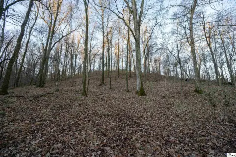
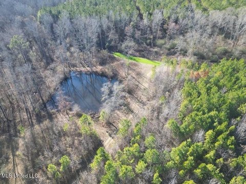
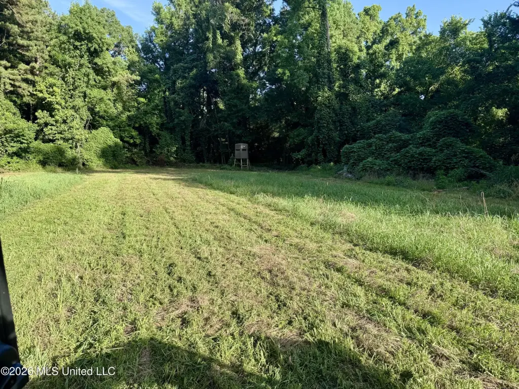
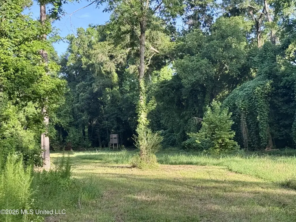
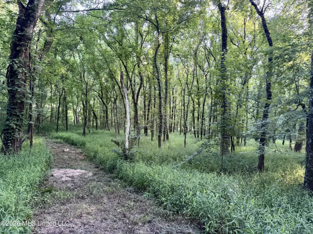
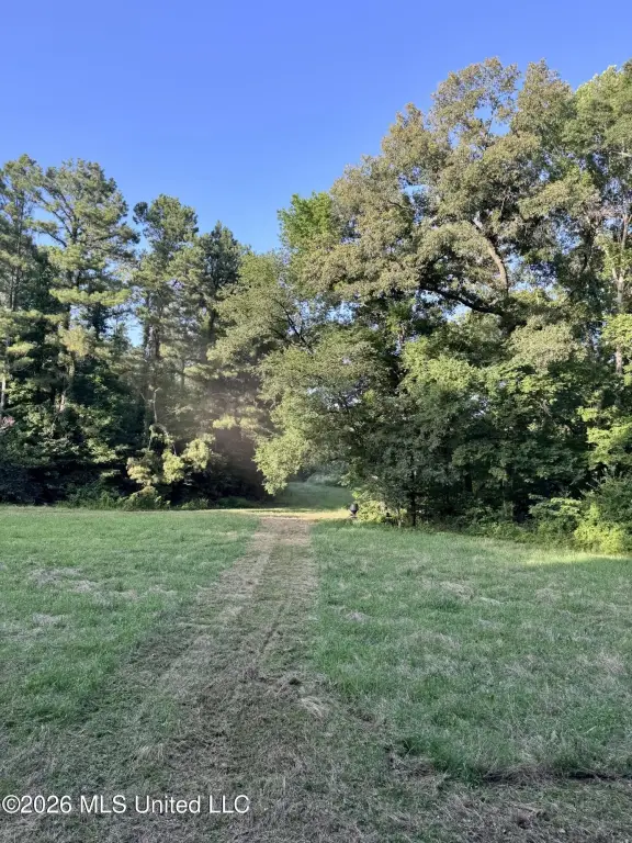
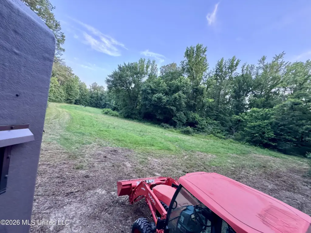
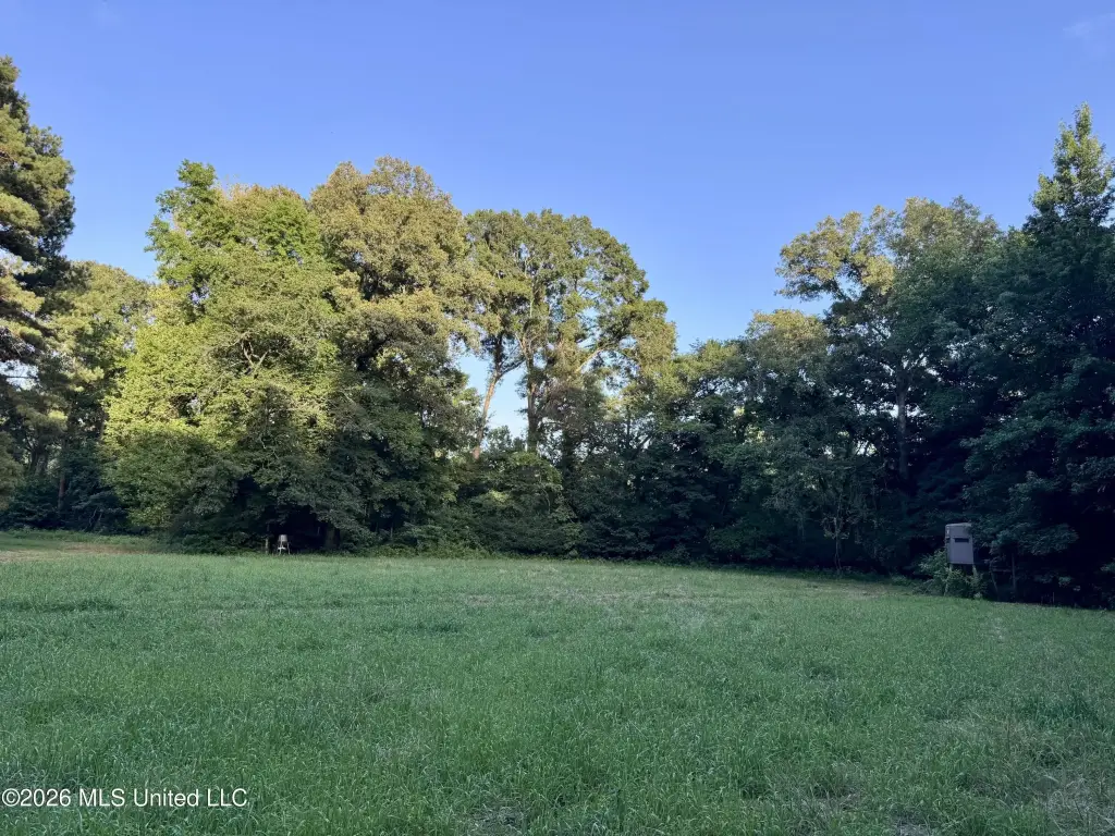
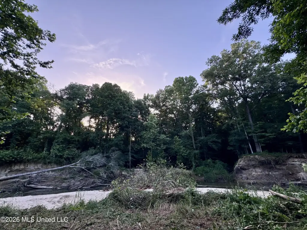
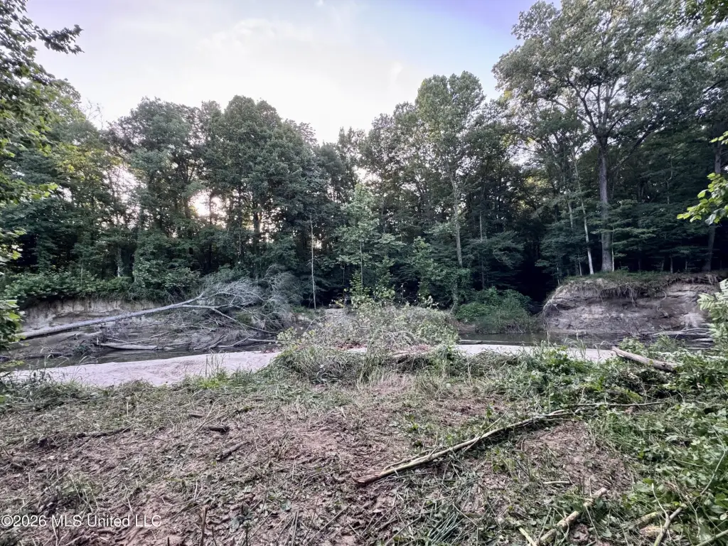
- 105 acres in Jefferson County, MS, featuring Mud Island Creek and live‑water waterfront along the creek/stream area.
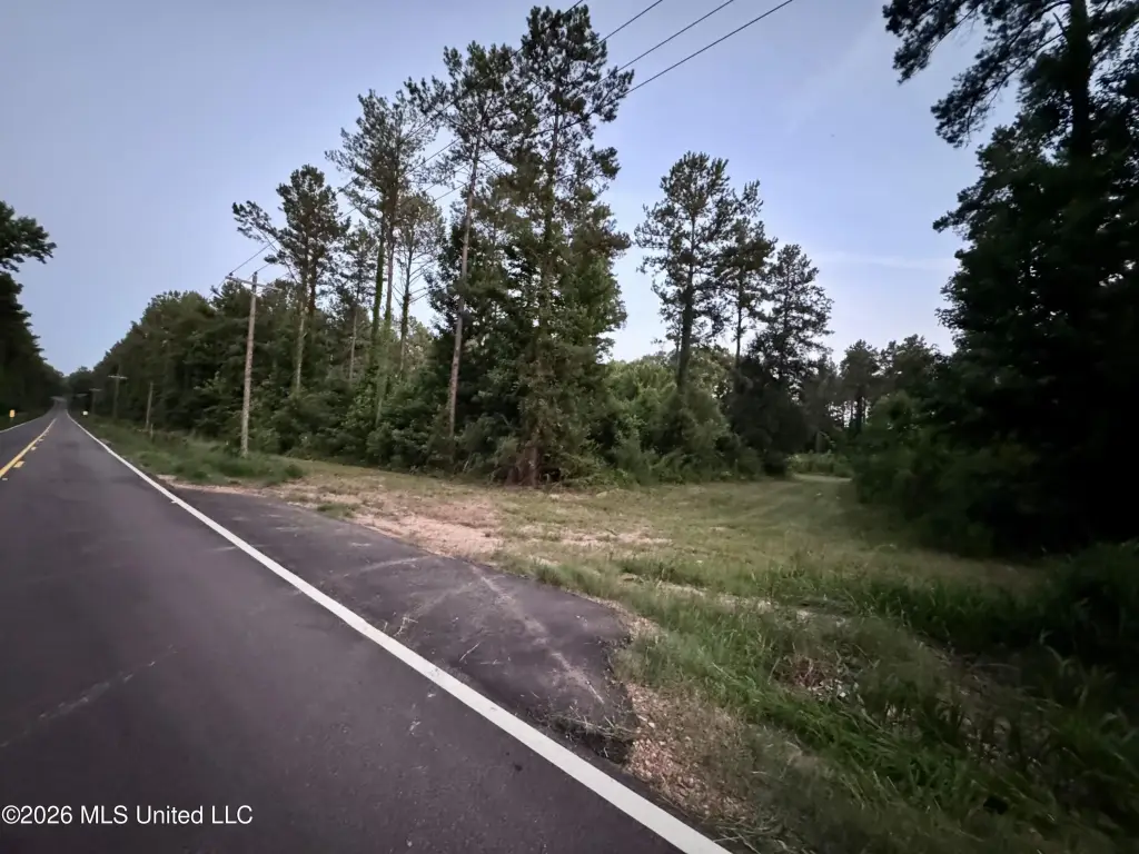
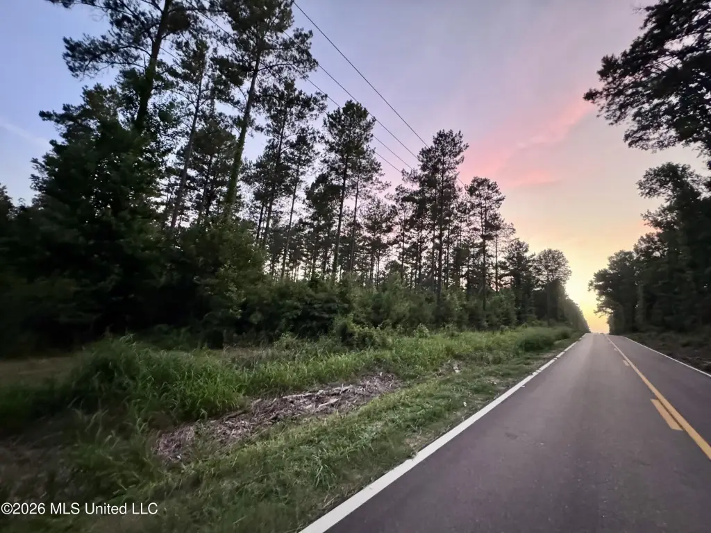
- Approximately 0.6 miles of frontage along Highway 553, with several camp or homesite locations near Mud Island Creek.
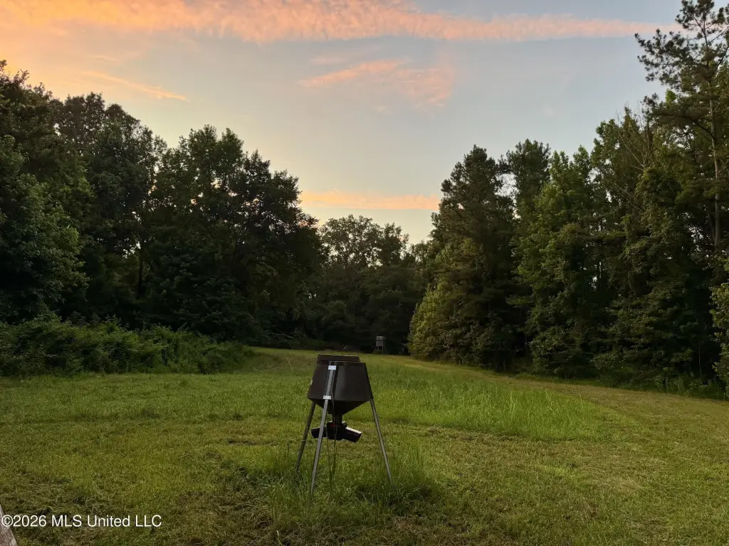
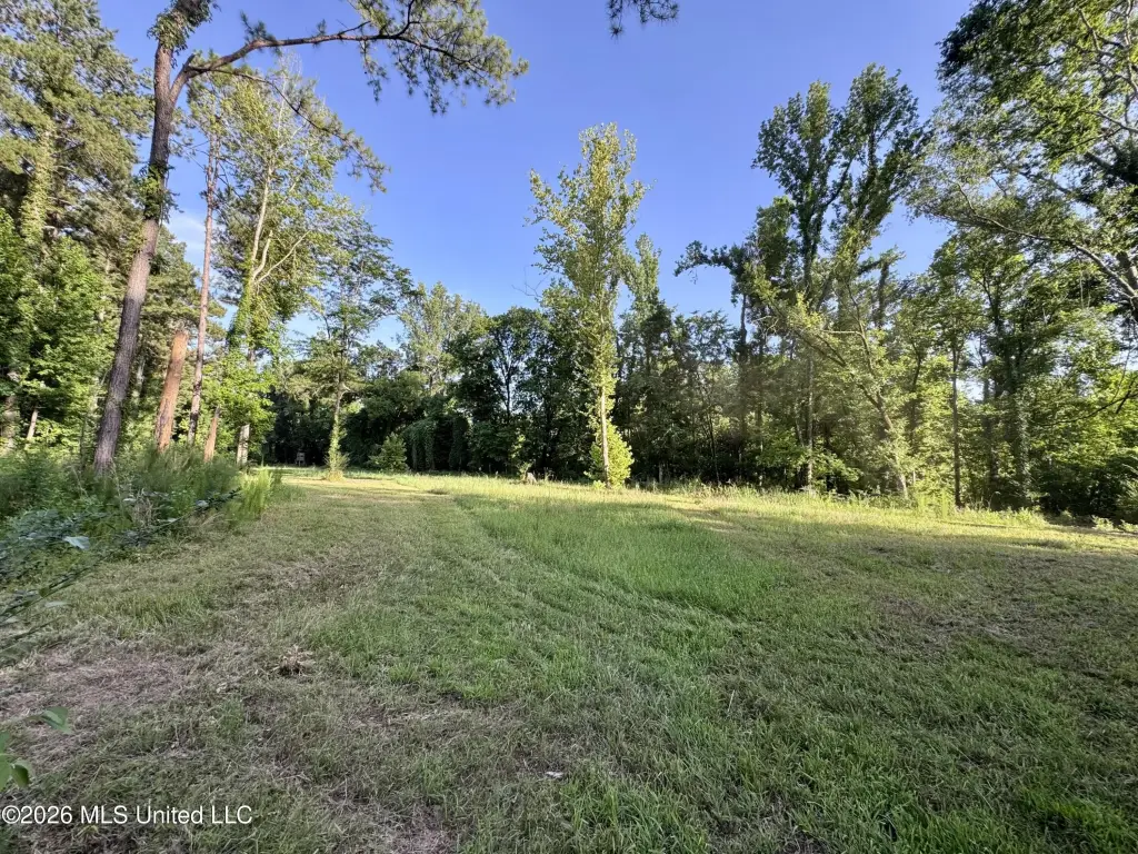
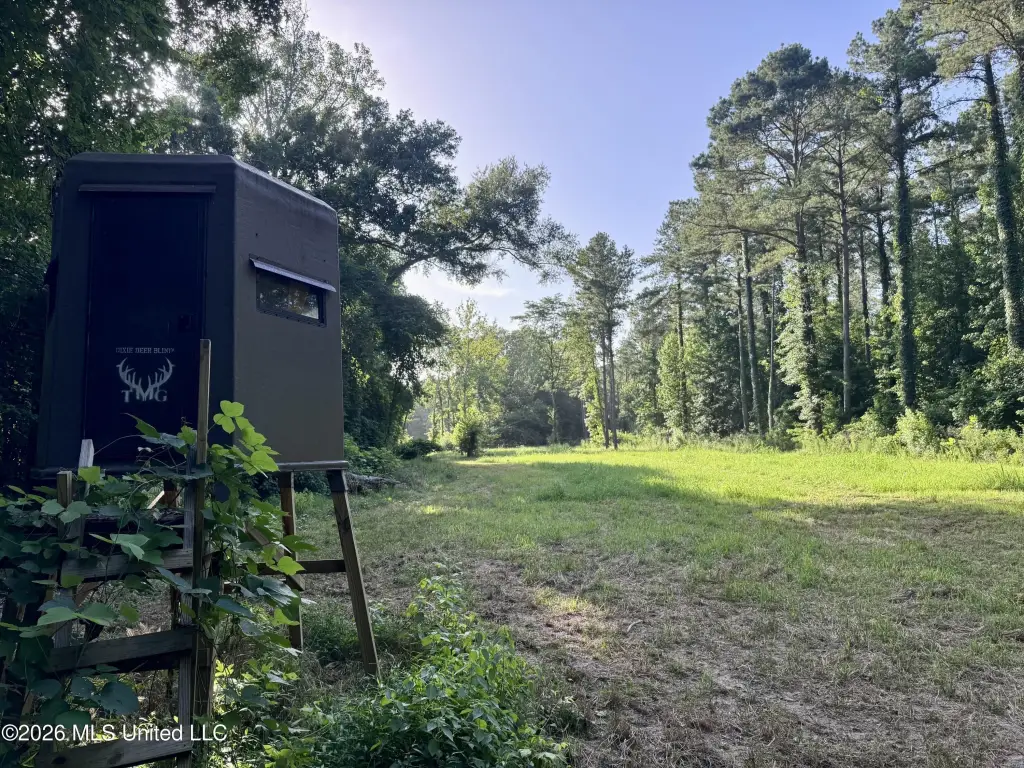
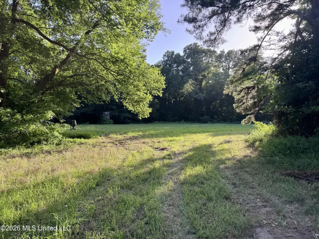
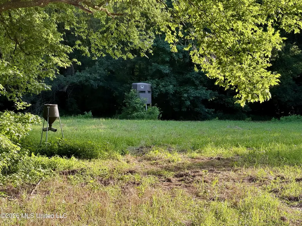
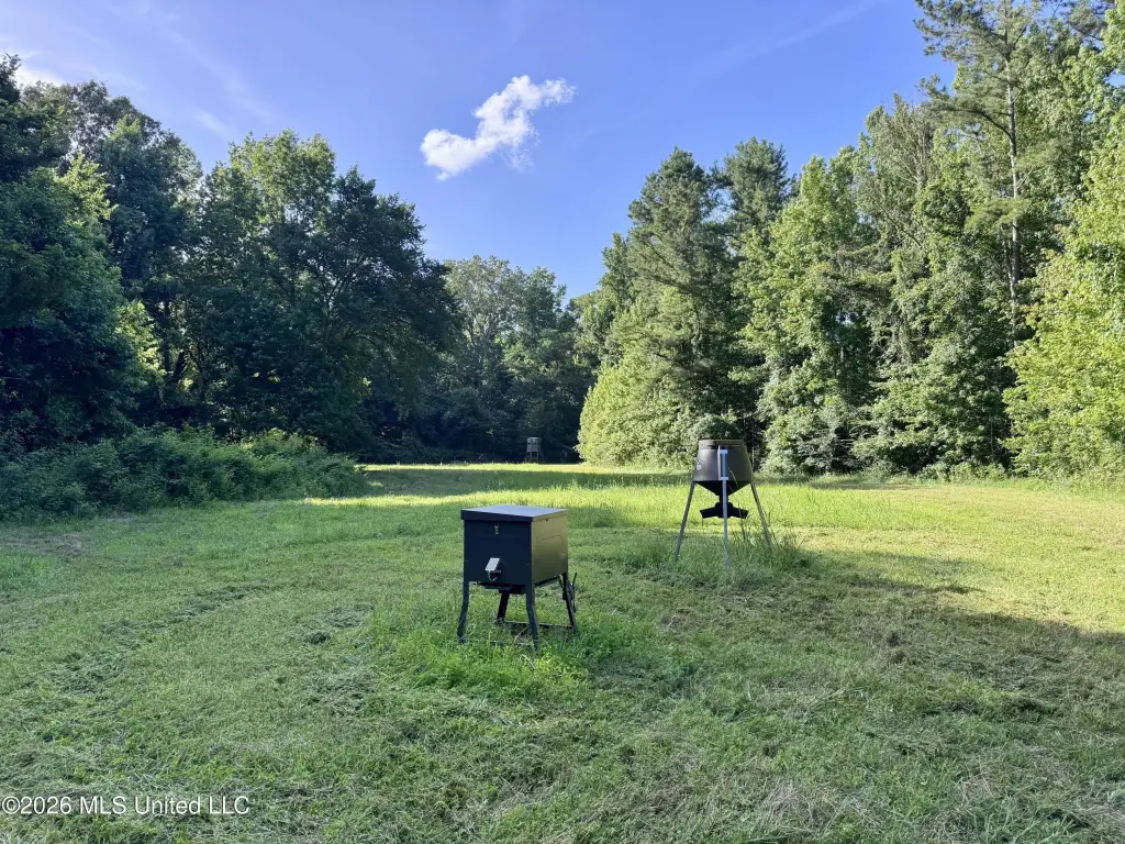
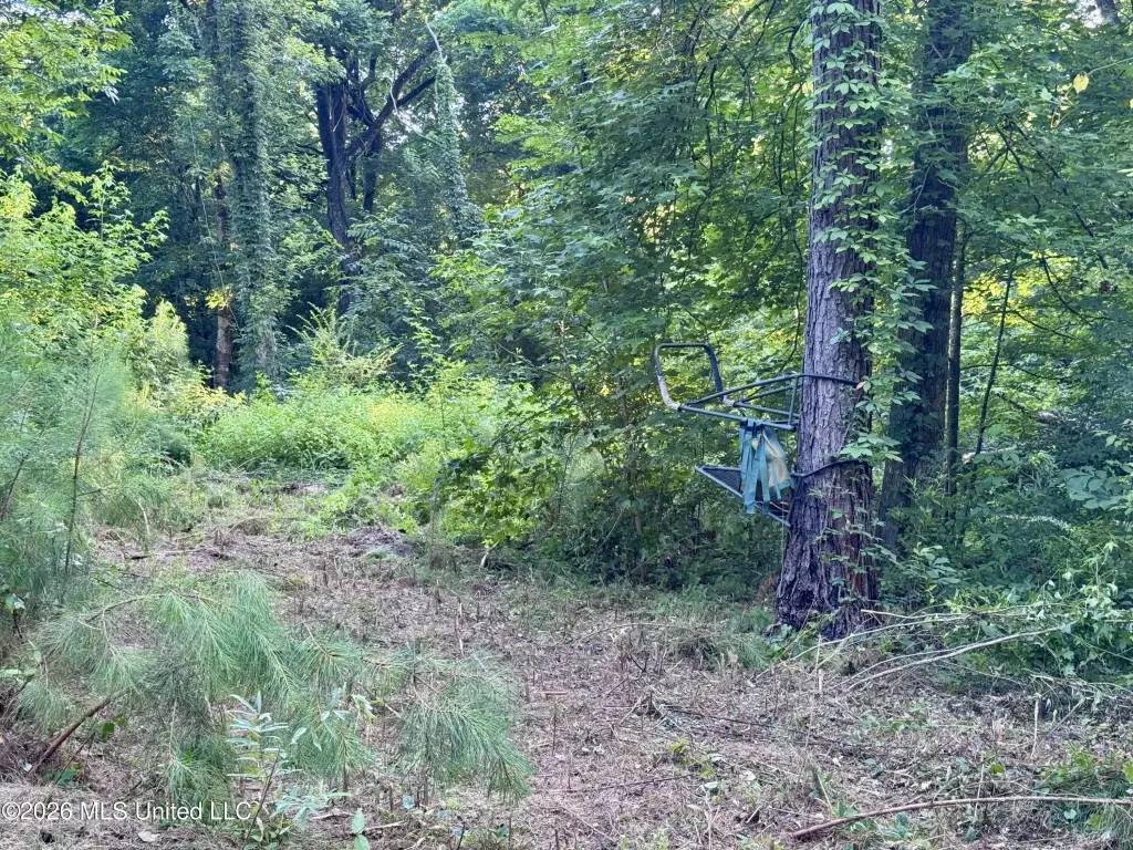
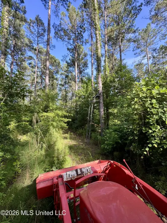
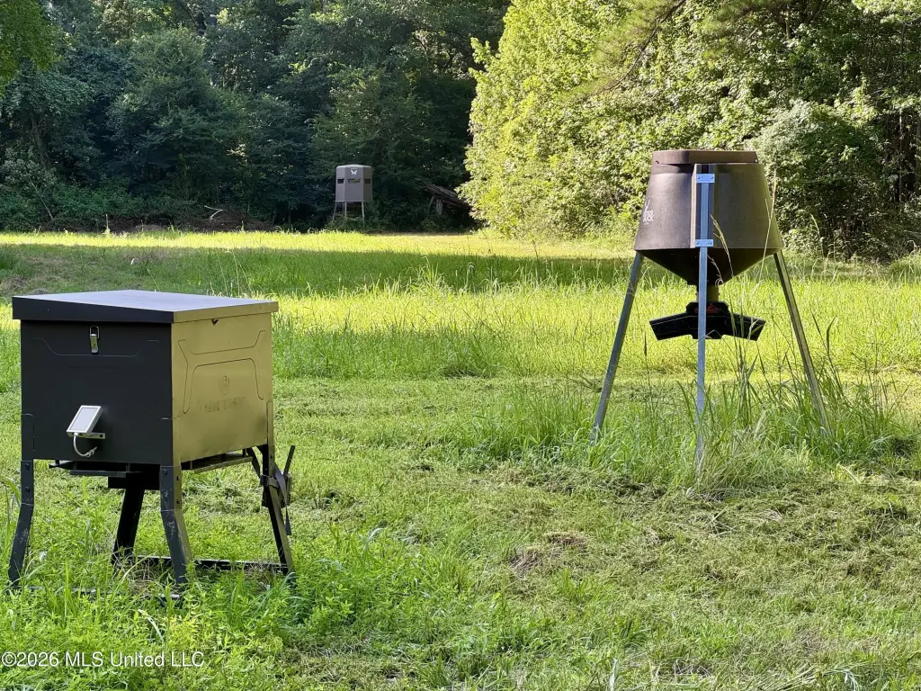
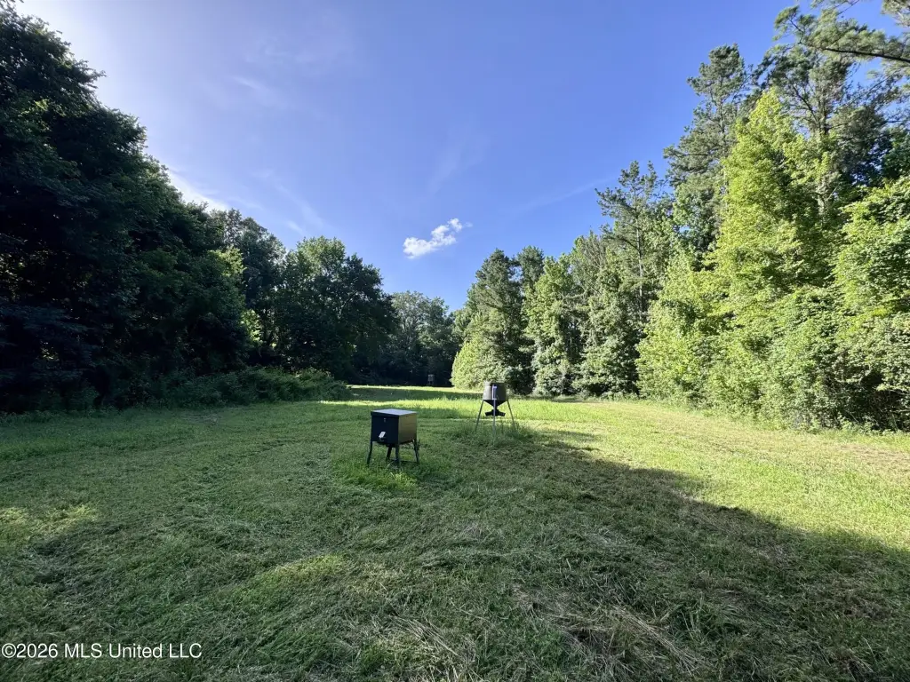
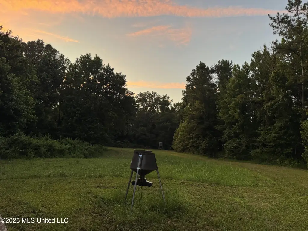
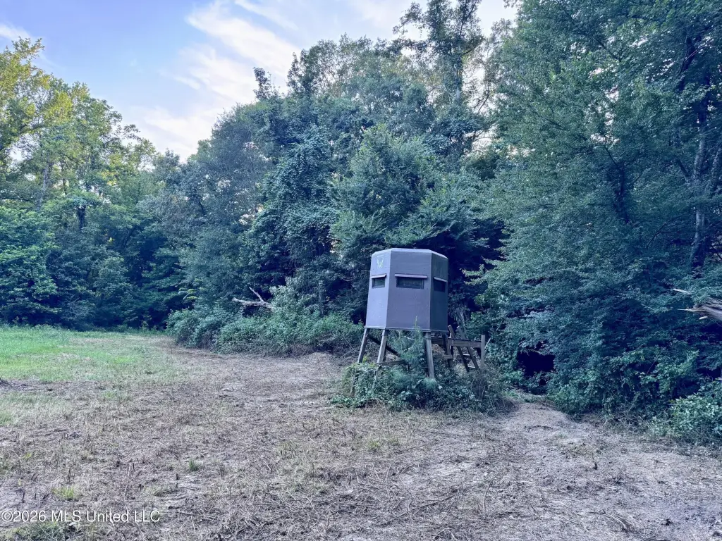
- Three established food plots and three enclosed deer stands for immediate hunting use.
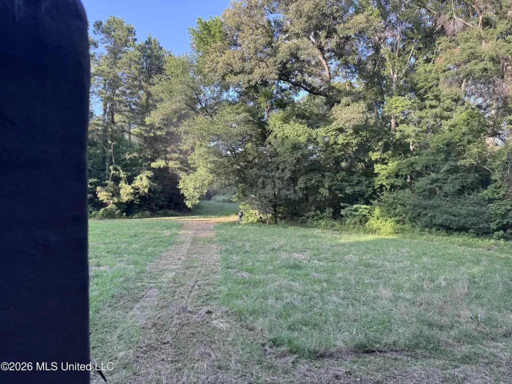
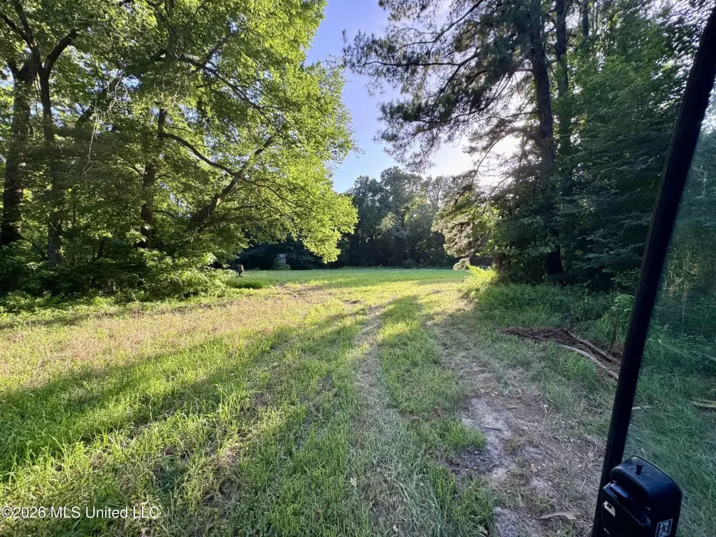
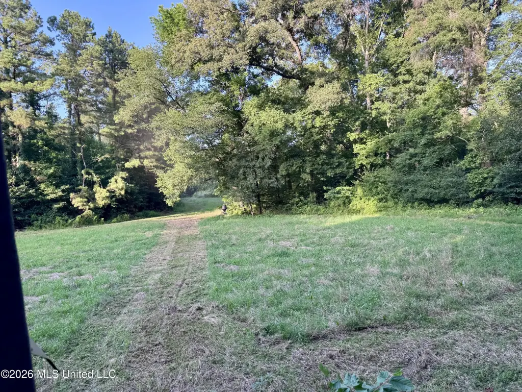
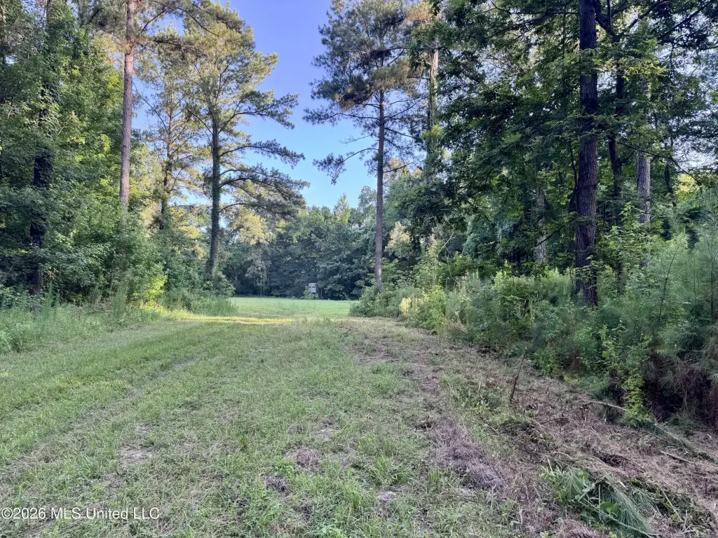
- Internal road system with truck access to approximately 75% of the huntable acreage.
- Managed pine plantation with timber estimated at $1,200 to $1,400 per acre.
- Located about 3.5 miles from Highway 61 and approximately 10 miles from Churchill, MS.
Overview
The tract has approximately 0.6 miles of frontage along Highway 553, with multiple locations near Mud Island Creek that could serve as camp or homesites. The property is located in Jefferson County, Mississippi, about 10 miles from Churchill, Mississippi.
For buyers looking for a self-contained recreational property, the combination of creek water and managed timberland supports year-round habitat diversity as described in the marketing materials. The managed pine plantation also contributes an additional asset component, with timber estimated at $1,200 to $1,400 per acre. Improvements and access for hunting activities are already in place, including the food plots, enclosed stands, and road access for equipment to reach much of the usable acreage.
Current Use by Public Records
Map
- City
- Fayette
- County
- Jefferson
- State
- Mississippi
- Longitude
- -91.121795
- Latitude
- 31.74036