Mature Timber Hunting
For Sale
$795,000
ED RUTLEDGE ROAD, Calhoun, LA 71225
LAND, Calhoun, LA
Property SizeContact for details
Lot Size216.00 Acres
Days on Market474
Property Features for ED RUTLEDGE ROAD
General Information
Property type
Land
Property subtype
Other
Fencing
Fenced
Subdivision
NONE/METES AND BOUNDS
Lot features
Wooded Lot, Irregular
Standard status
Active
APN
117462 et al
Lot size
216.00 Acres
Taxes and HOA fees
Tax Description
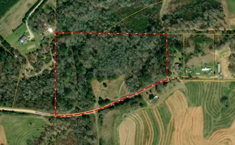
216 acres more or less located in in Sections 1, 2 & 11- T16N-R2E, Ouachita Parish, LA
Legal Description
216 acres more or less located in in Sections 1, 2 & 11- T16N-R2E, Ouachita Parish, LA
Utilities
Water front features
Creek
Listing Agency:
United Country - Southern Stat
(601) 250-0017
Listed By:
Hunter Smith
(318) 245-6965
Added: Jul 8, 2025
Changed: Oct 23
Last Checked: Oct 24 at 4:06AM
MLS# 215652
Copyright © 2026 Northeast Louisiana Association of REALTORS. All rights reserved. All information provided by the listing agent/broker is deemed reliable but is not guaranteed and should be independently verified.

Ask AI about this property
Review the available facts, identify missing information and prepare questions for the agent.
Investment Insights
Based on property information with market context.
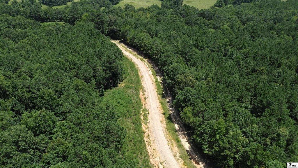
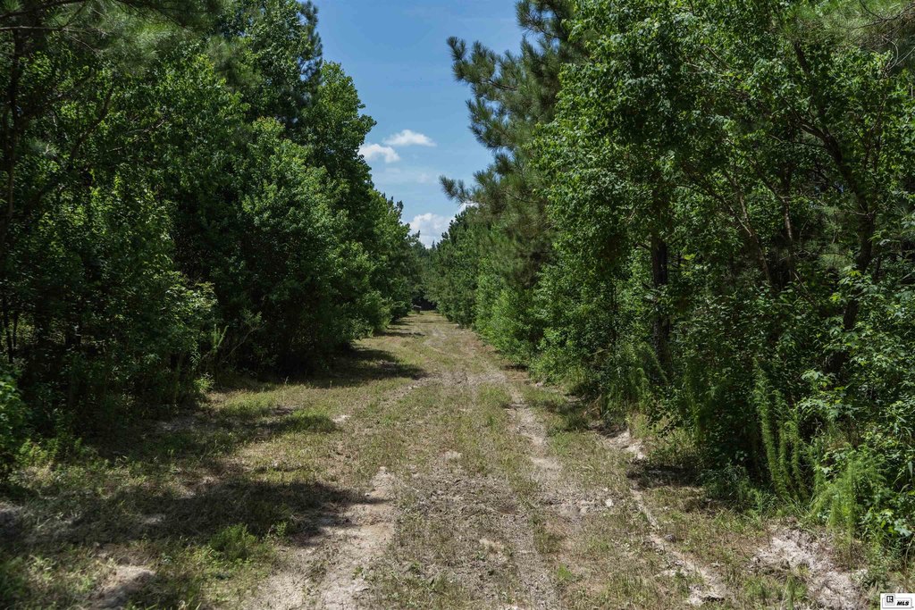
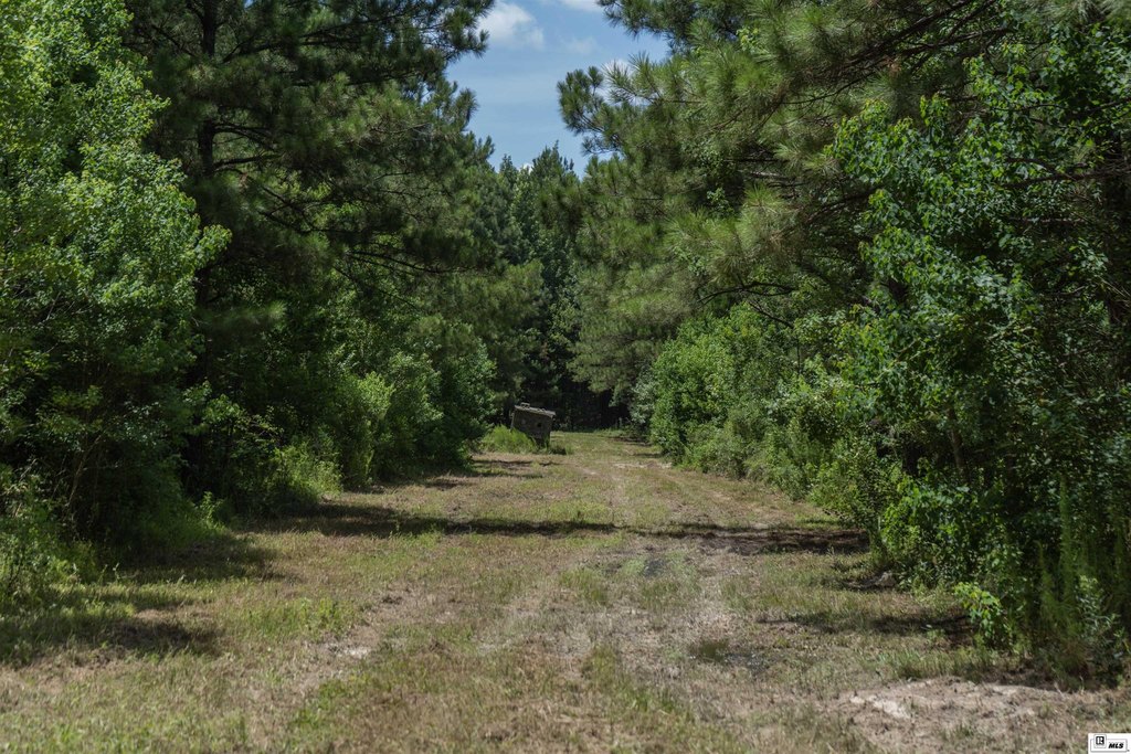
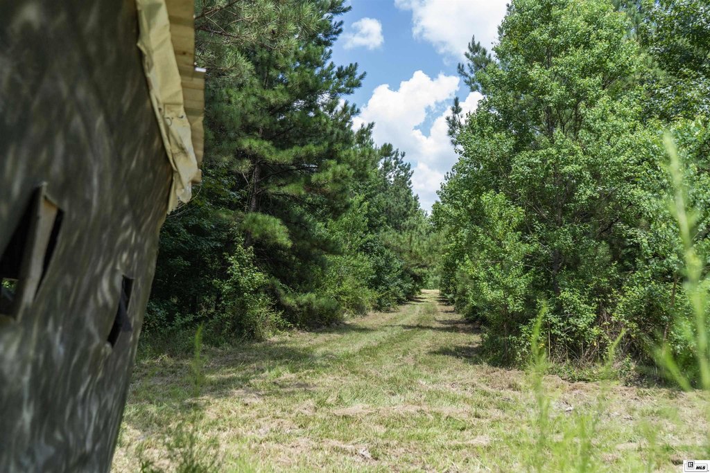
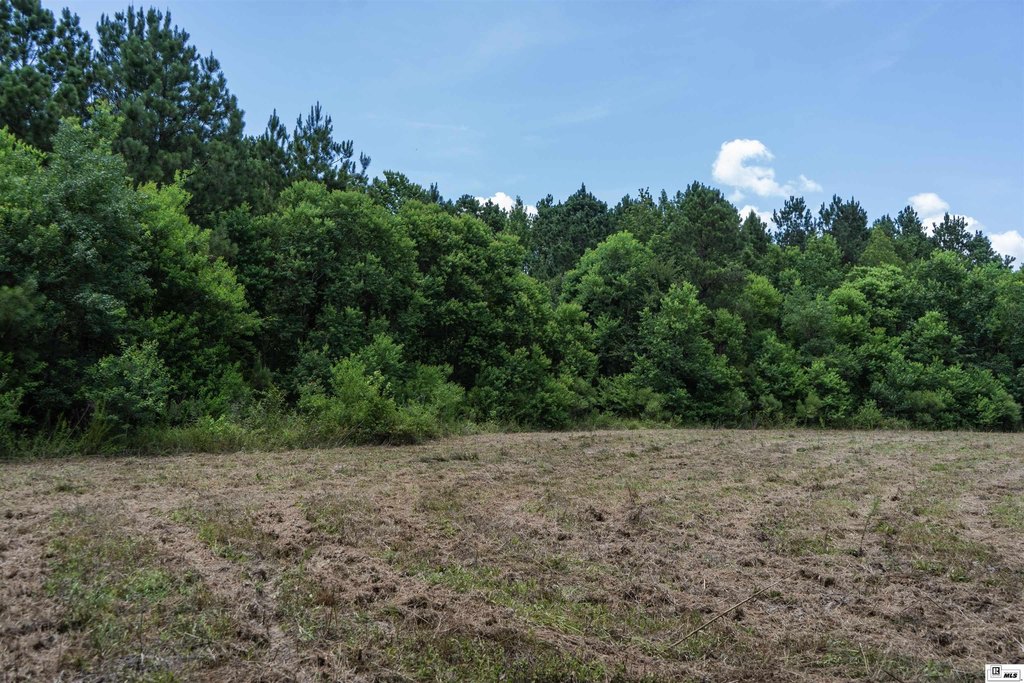
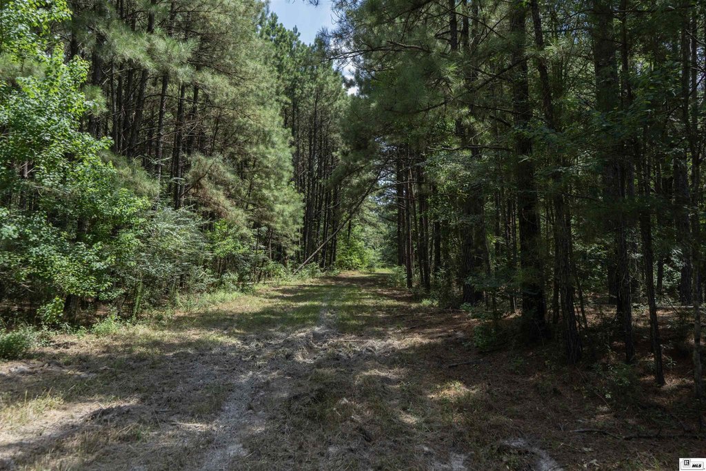
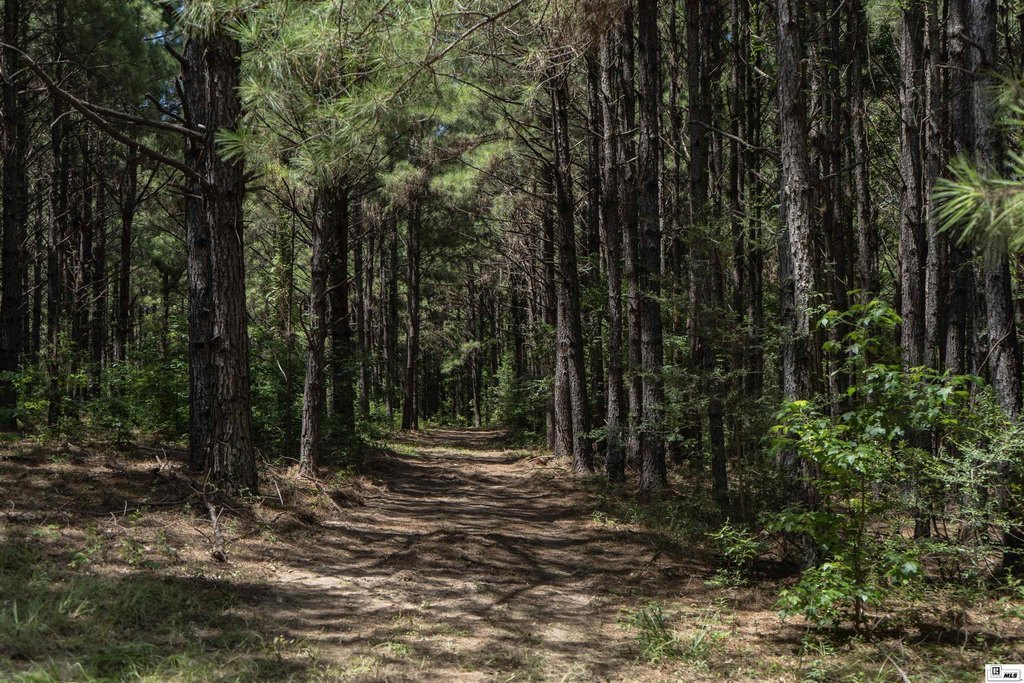
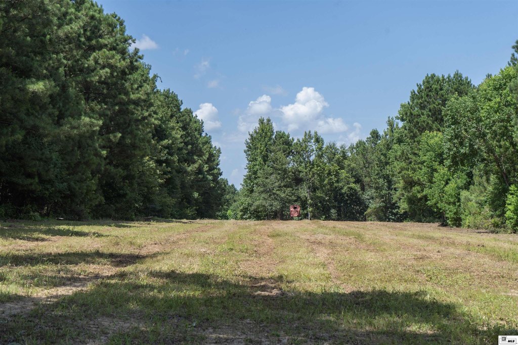
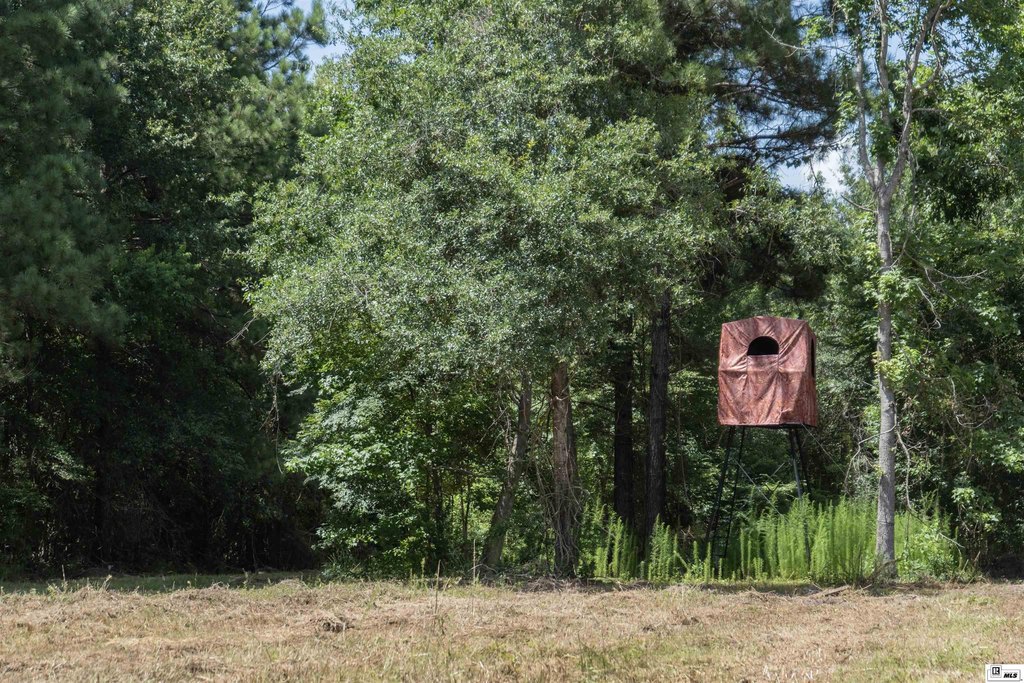
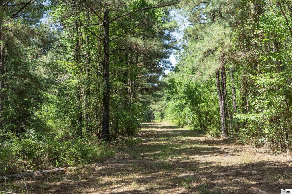
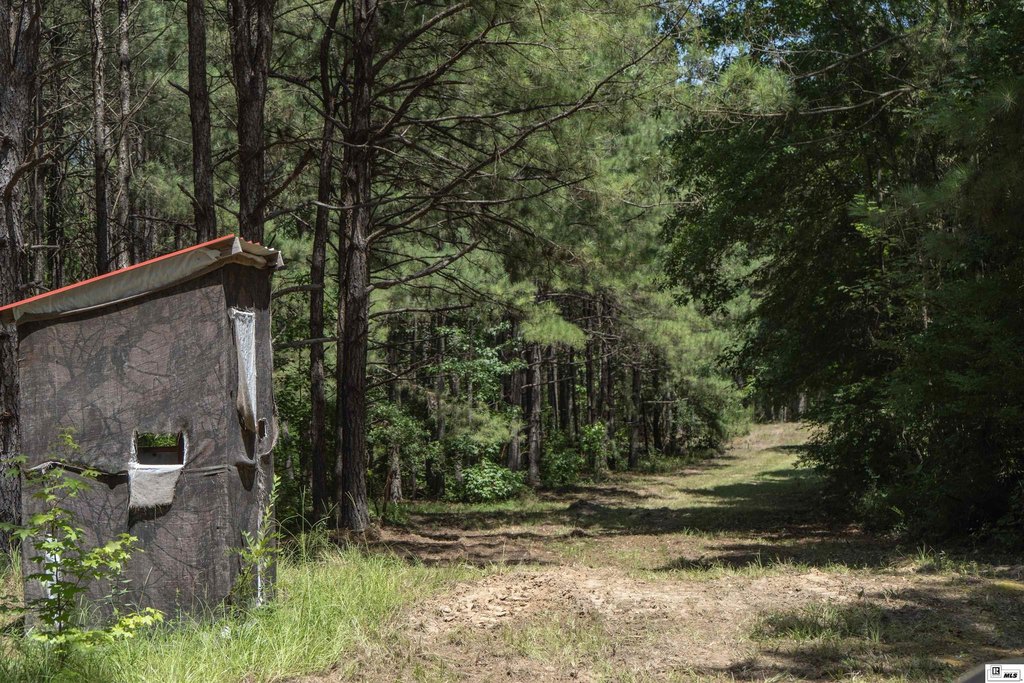
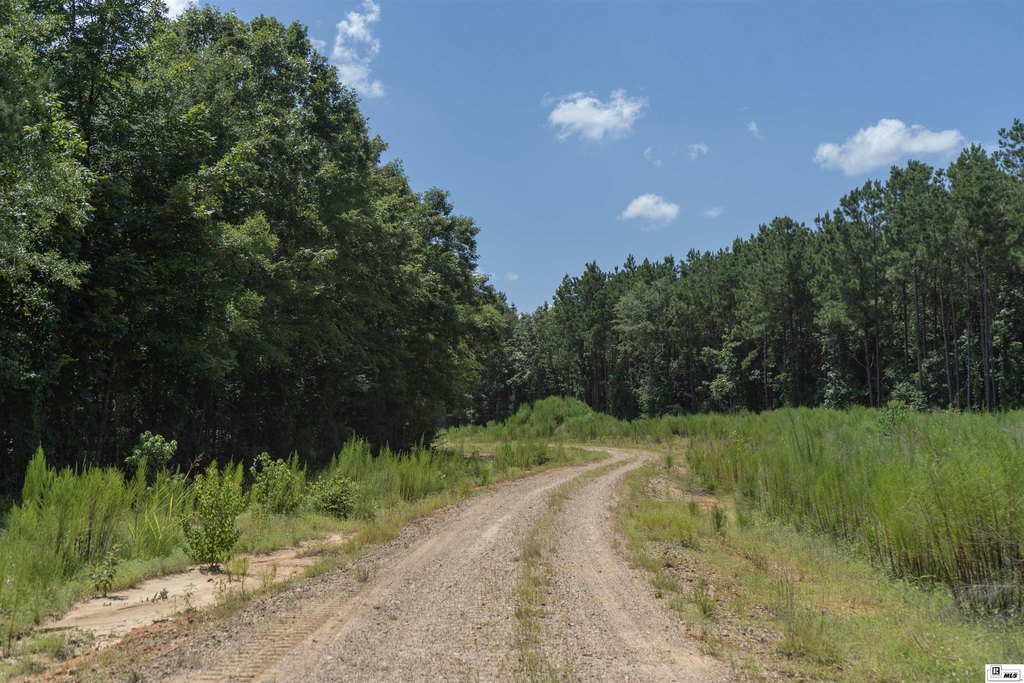
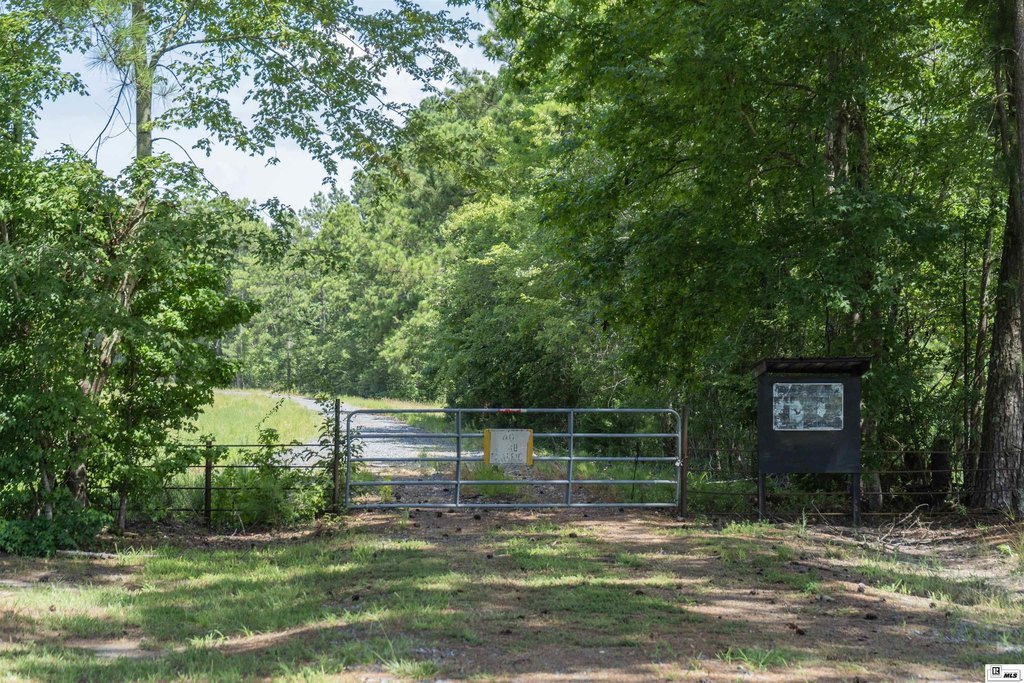
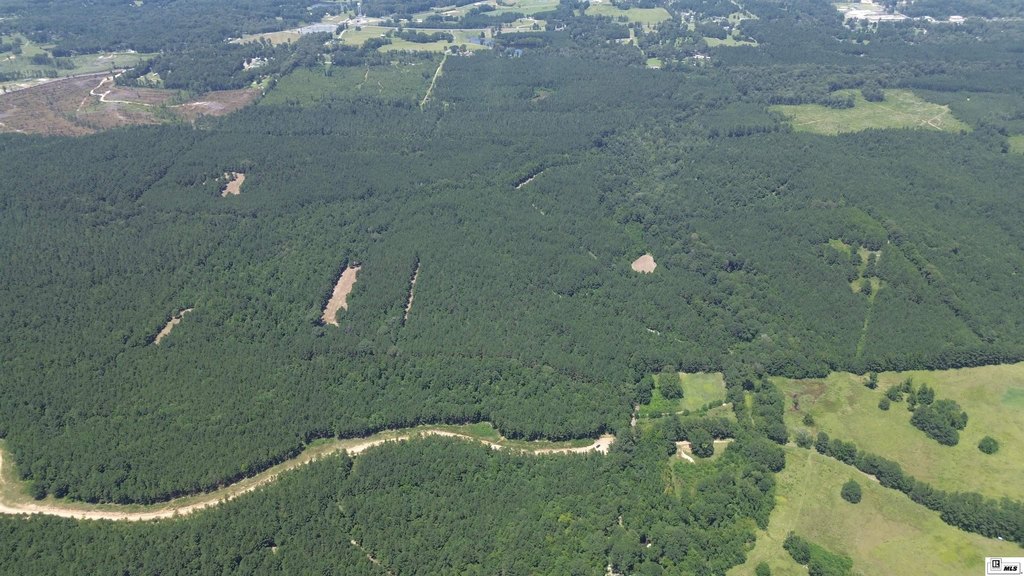
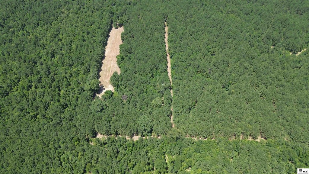
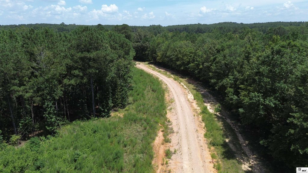
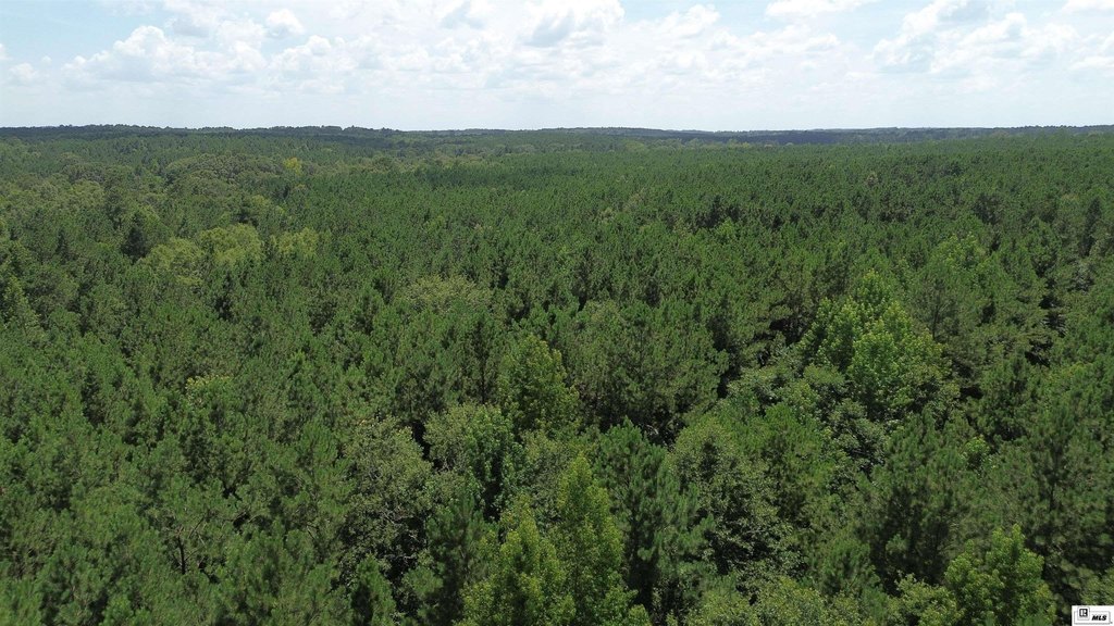
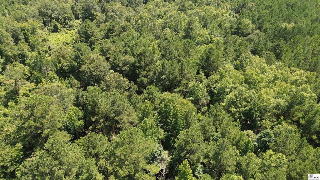
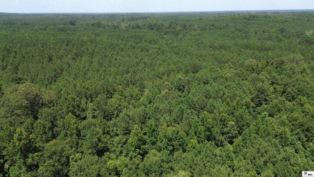
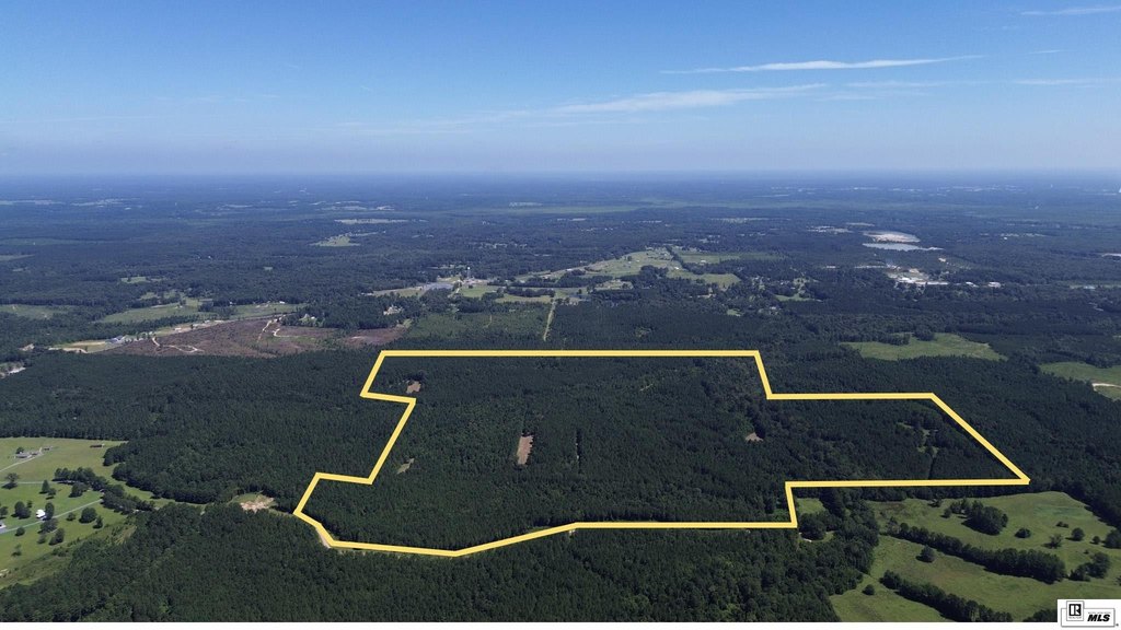
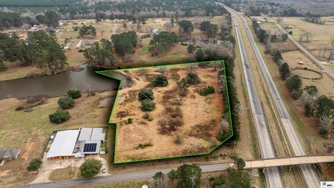
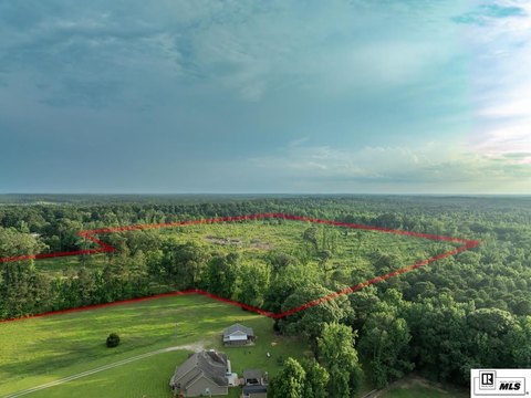
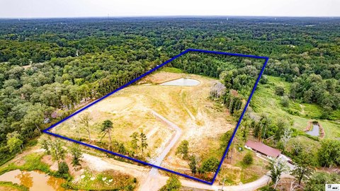
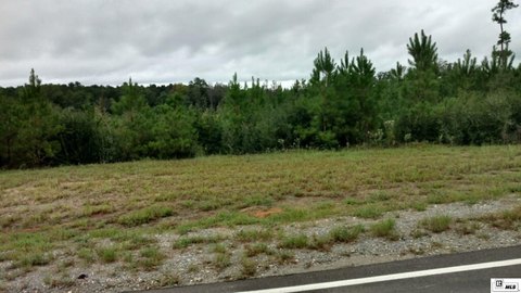
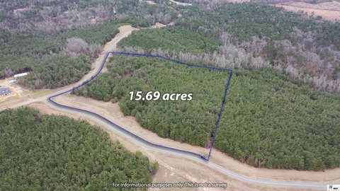
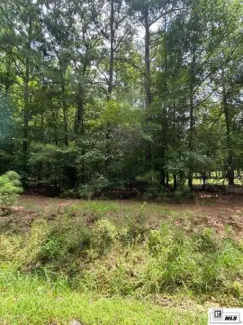
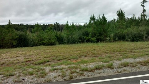
This 216-acre hunting land tract in Calhoun, Louisiana, features a mature volunteer stand of mixed pine and hardwood timber. An established interior road network provides access throughout the property, while multiple food plot locations support hunting activity. The tract is fenced and includes creeks and drainage features that provide water for wildlife and may support future pond or lake construction.
Wildlife identified on the property includes whitetail deer, eastern turkey, and small game. The tract is situated in the Lapine community of West Ouachita Parish, approximately 15 minutes southwest of West Monroe, 15 minutes southeast of Calhoun, 30 minutes southeast of Ruston, and 30 minutes northeast of Caney Lake. Access is from Ed Rutledge Road.
Wildlife identified on the property includes whitetail deer, eastern turkey, and small game. The tract is situated in the Lapine community of West Ouachita Parish, approximately 15 minutes southwest of West Monroe, 15 minutes southeast of Calhoun, 30 minutes southeast of Ruston, and 30 minutes northeast of Caney Lake. Access is from Ed Rutledge Road.
Key Highlights
- 216 acres of hunting land in West Ouachita Parish
- Mature volunteer mixed pine and hardwood timber stand
- Established interior road system provides access across the tract
Location Intelligence
Trade Area within ½ mile
27
Businesses Nearby
Explore this area
Business Placement
Demographics for 71225, LA
8,179
Population
3,665
Households
2.2
Avg Household Size
38
Median Age
32%
College-Educated
95%
High-School Grad
59.9 sq mi
ZIP Area
137
Density / Sq Mi
$74,429
Median Household Income
$50,256
Median Earnings
$965
Median Rent
$215,800
Median Home Value
Frequently Asked Questions
What type of property is this?
Hunting land - Mixed pine and hardwood timber, established roads, creeks, and food plots support a range of outdoor uses.
Where is this hunting land located?
The property is located at ED RUTLEDGE ROAD Calhoun, LA.
What is the asking price?
The asking price for this property is $795,000.
What are key features of this property?
This property features: 216 acres of hunting land in West Ouachita Parish; Mature volunteer mixed pine and hardwood timber stand; Established interior road system provides access across the tract


