Mountain-View Rural
For Sale
$45,000
E134 E De Vaca Circle, Saint David, AZ 85630
Land, St. David, AZ
Property SizeContact for details
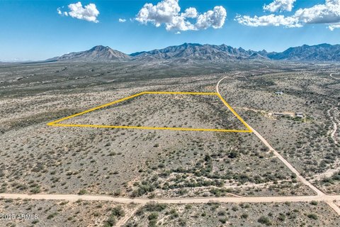
Lot Size38.43 Acres
Days on Market340
Property Features for E134 E De Vaca Circle
General Information
Property type
Land
Property subtype
Other
Zoning
Cochise - RU-4
Subdivision
Dragoon Mountain Ranch
Lot features
Borders Common Area
Elementary school
St. David
Middle school
St. David
High school
St. David
Elementary school district
St. David
Middle school district
St. David
High school district
St. David
Directions
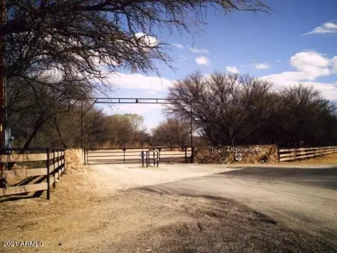
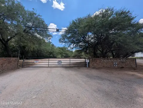
SR-80 across from Holy Trinity Monastery on Horse Ranch Rd, Right on S Kino, head south, left on E De Vaca Cir. (@ two way stop sign) Approx 1 mile turn right on De Vaca Circle. Look for company sign
Standard status
Active
APN
121-46-034
Lot size
38.43 Acres
Taxes and HOA fees
Tax Year
2025
Tax Description
Dragoon Mountain Ranch Unit Lot 34 38.43Ac
Tax Annual Amount
331
Legal Description
Dragoon Mountain Ranch Unit Lot 34 38.43Ac
Listing Agency:
United Country RE AZ Life Homes & Land
Listed By:
Richard V Frank · License #BR643373000
(520) 403-3903
Added: Nov 11, 2025
Changed: Oct 2
Last Checked: Oct 17 at 7:06AM
MLS# 22531507
Copyright © 2026 Multiple Listing Service of Southern Arizona. All rights reserved. All information provided by the listing agent/broker is deemed reliable but is not guaranteed and should be independently verified.

Ask AI about this property
Review the available facts, identify missing information and prepare questions for the agent.
Investment Insights
Based on property information with market context.
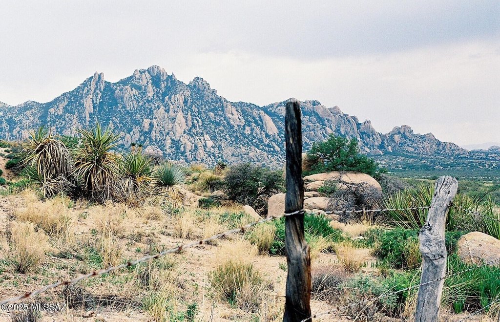
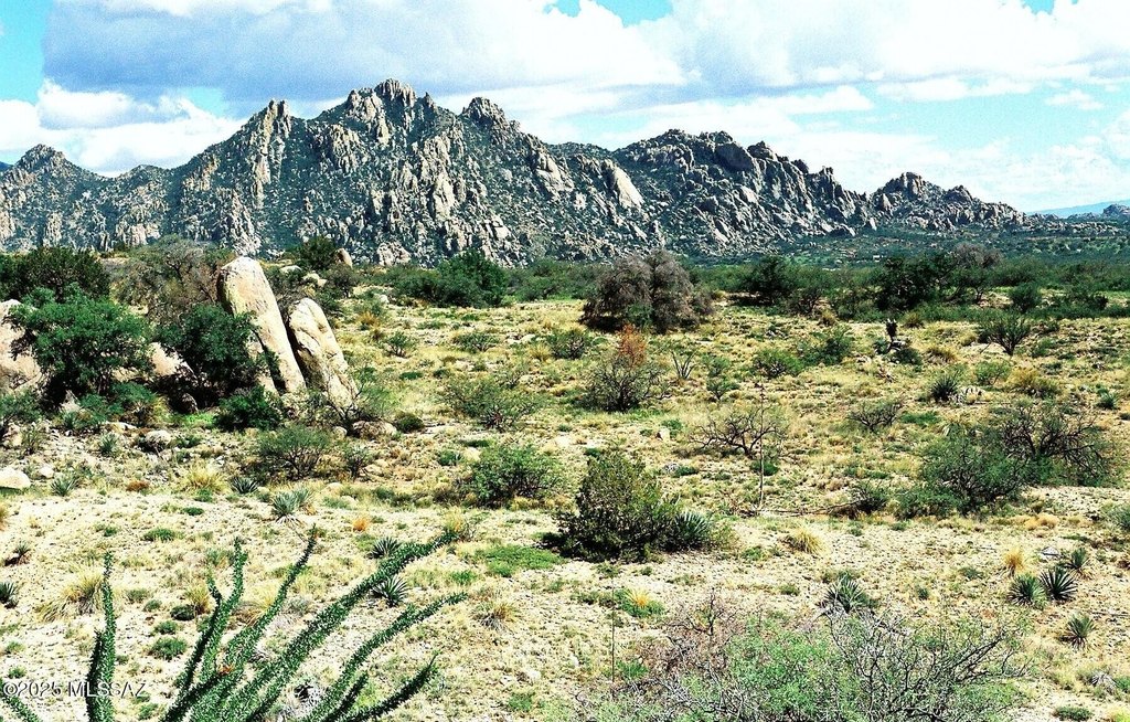
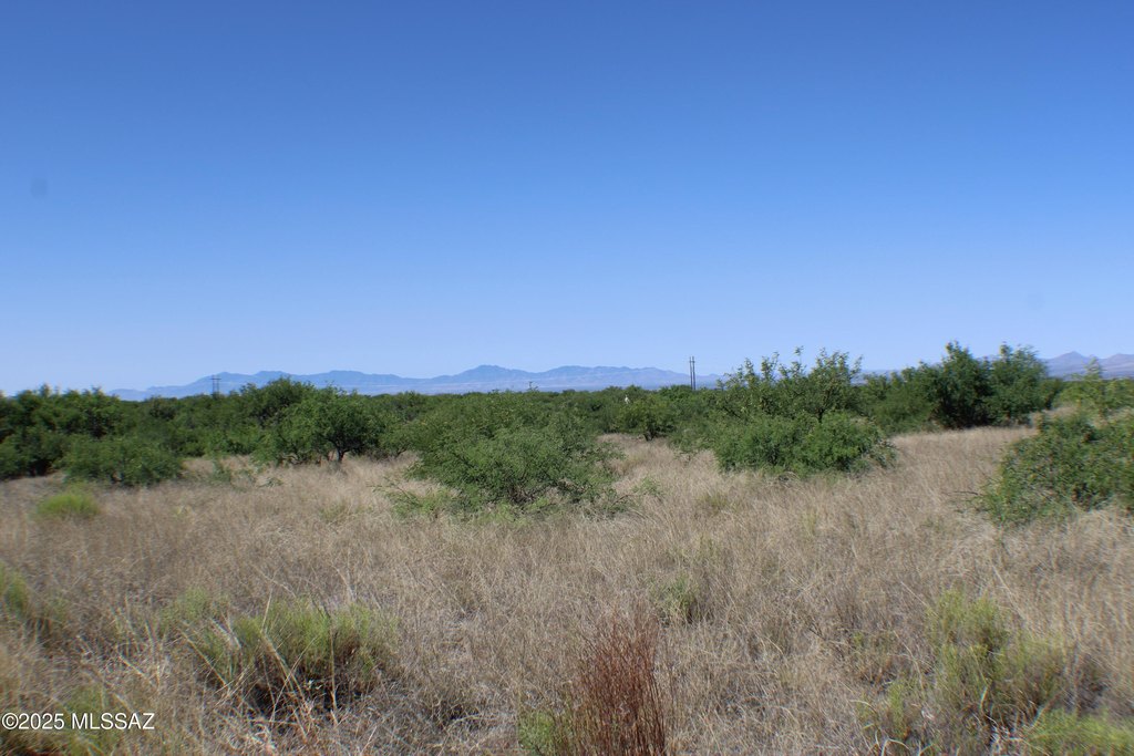
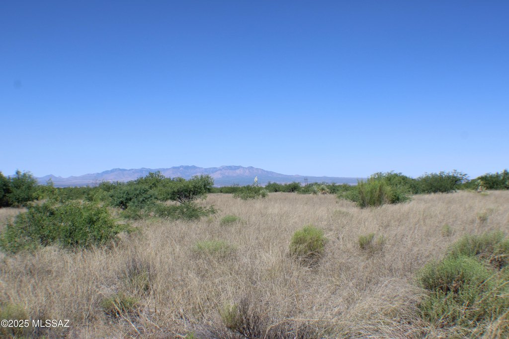
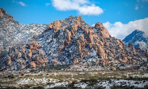
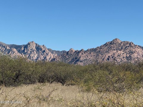
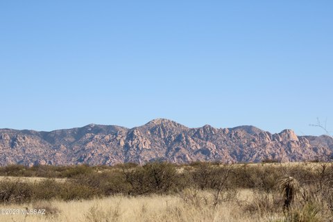
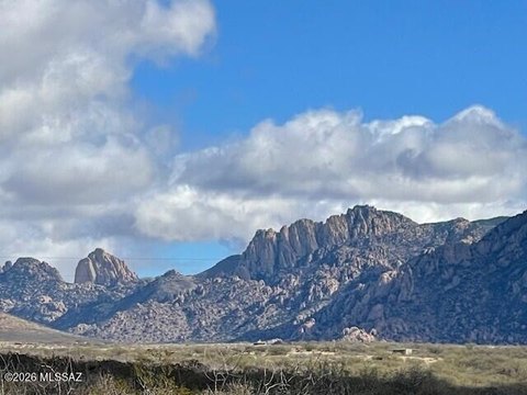
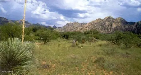
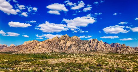
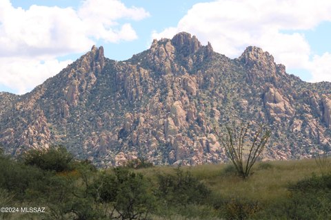
This 38.43-acre land parcel is located in the Dragoon Mountain Ranch subdivision near St. David, Arizona. Cochise County zoning is RU-4. The property is described with 360-degree views toward the Dragoon Mountains and Whetstone Mountains, creating a broad high-desert setting surrounded by notable regional landscape features.
Dragoon Mountain Ranch encompasses approximately 14,000 acres and adjoins 52,000 acres of Coronado National Forest wilderness area. Adjacent State Trust lands add to the surrounding expanse of undeveloped land. The Dragoon Mountains include Cochise Stronghold, while the Dragoon and Rincon ranges reach elevations above 7,000 feet. Benson, Bisbee, Tombstone, Willcox, and Sierra Vista are nearby communities, with Tucson approximately an hour away.
Dragoon Mountain Ranch encompasses approximately 14,000 acres and adjoins 52,000 acres of Coronado National Forest wilderness area. Adjacent State Trust lands add to the surrounding expanse of undeveloped land. The Dragoon Mountains include Cochise Stronghold, while the Dragoon and Rincon ranges reach elevations above 7,000 feet. Benson, Bisbee, Tombstone, Willcox, and Sierra Vista are nearby communities, with Tucson approximately an hour away.
Key Highlights
- 38.43‑acre rural land parcel in Cochise County
- Zoned Cochise - RU‑4
- 360‑degree views of the Dragoon and Whetstone Mountains
Property Analytics
Unlock full access to Insights
Subscribe to Realmo Intelligence
Open Analytics
Current Use
Location Intelligence
Trade Area within ½ mile
1
Businesses Nearby
Explore this area
Business Placement
Demographics for 85630, AZ
2,585
Population
1,260
Households
2.1
Avg Household Size
50
Median Age
25%
College-Educated
97%
High-School Grad
154.1 sq mi
ZIP Area
17
Density / Sq Mi
$49,306
Median Household Income
$55,082
Median Earnings
$148,500
Median Home Value
Check the figures for this property
Cap Rate, Value Estimation, Potential NOI and more
View Realmo Analytics


Frequently Asked Questions
What type of property is this?
Land - Rural acreage with expansive mountain views and a setting adjoining forest and state trust lands.
Where is this land located?
The property is located at E134 E De Vaca Circle Saint David, AZ.
What is the asking price?
The asking price for this property is $45,000.
What are key features of this property?
This property features: 38.43‑acre rural land parcel in Cochise County; Zoned Cochise - RU‑4; 360‑degree views of the Dragoon and Whetstone Mountains