Hunting Land with
For Sale
$400,000
Pending
E0220 Rd, Waynoka, OK 73860
Land, Waynoka, OK
Property SizeContact for details
Lot Size160.00 Acres
Days on Market306
Property Features for E0220 Rd
General Information
Property type
Land
Property subtype
Other
Fencing
Fenced
Standard status
Pending
Lot size
160.00 Acres
Utilities
Water front features
Pond
Listing Agency:
Arrowhead Land Company
(833) 873-2452
Listed By:
Jacob Lemons
833-USE-AHLC
Added: Dec 15, 2025
Changed: Oct 8
Last Checked: Oct 17 at 12:06AM
MLS# 11620446
Copyright © 2026 My State MLS. All rights reserved. All information provided by the listing agent/broker is deemed reliable but is not guaranteed and should be independently verified.

Ask AI about this property
Review the available facts, identify missing information and prepare questions for the agent.
Investment Insights
Based on property information with market context.
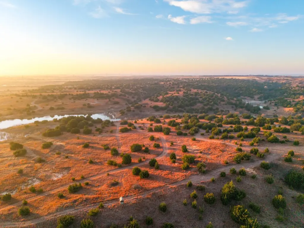
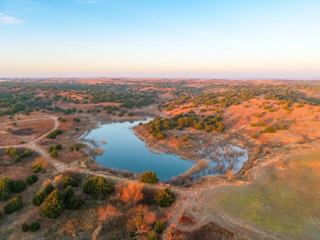
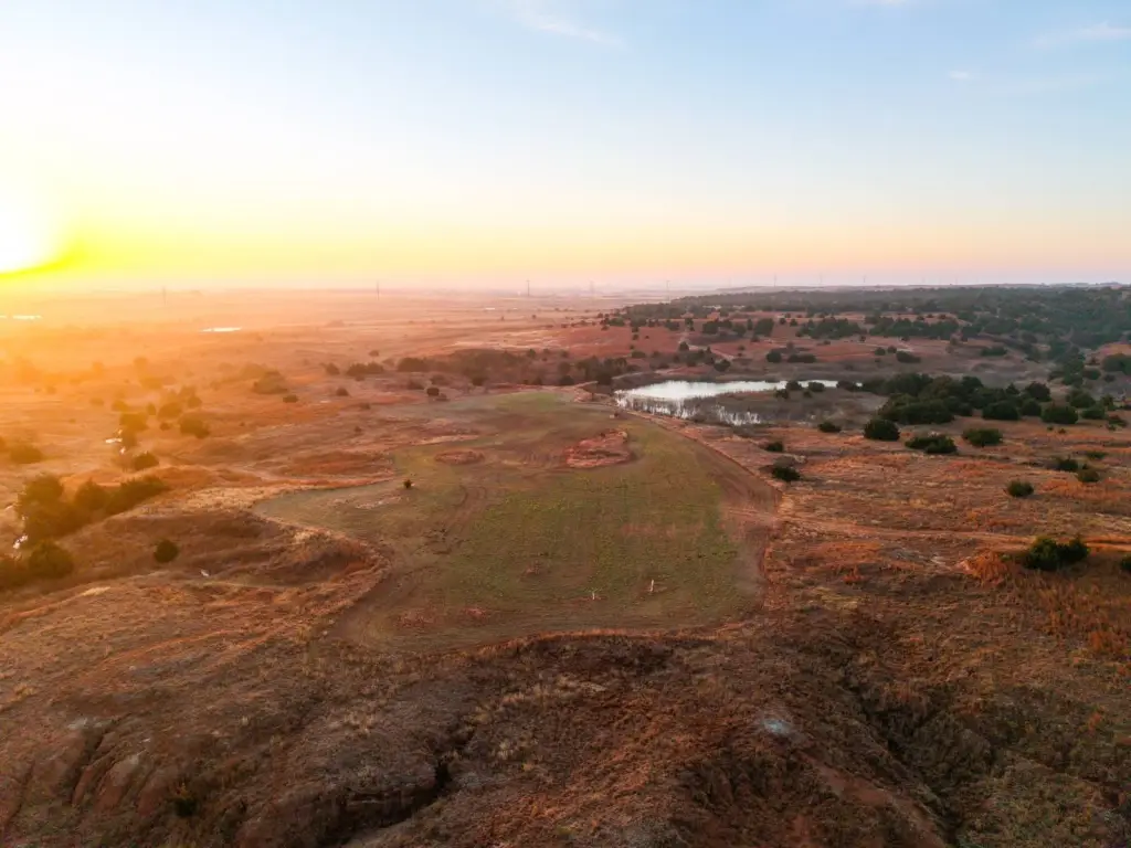
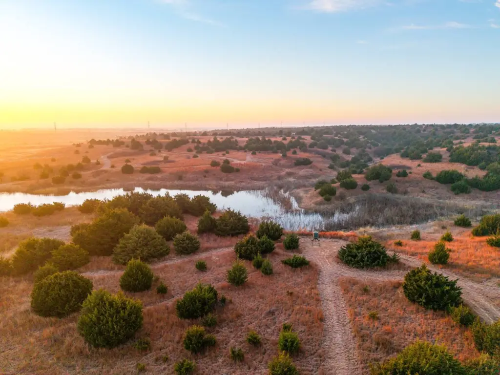
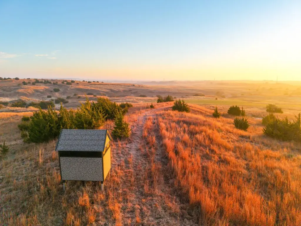
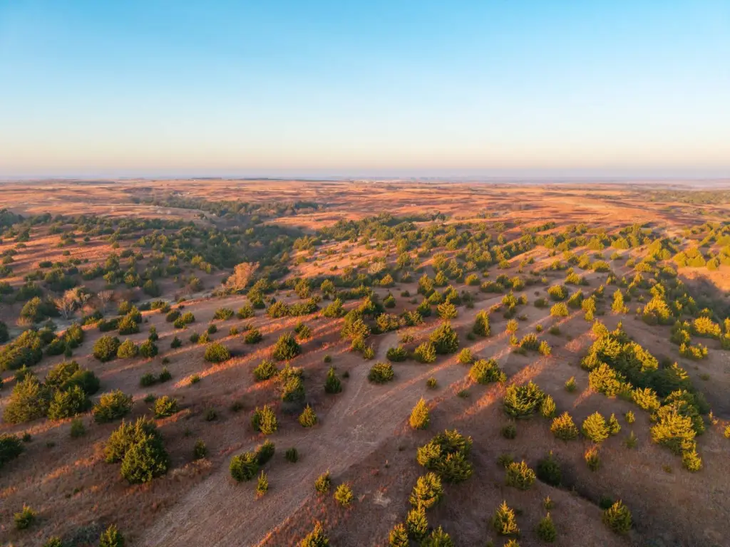
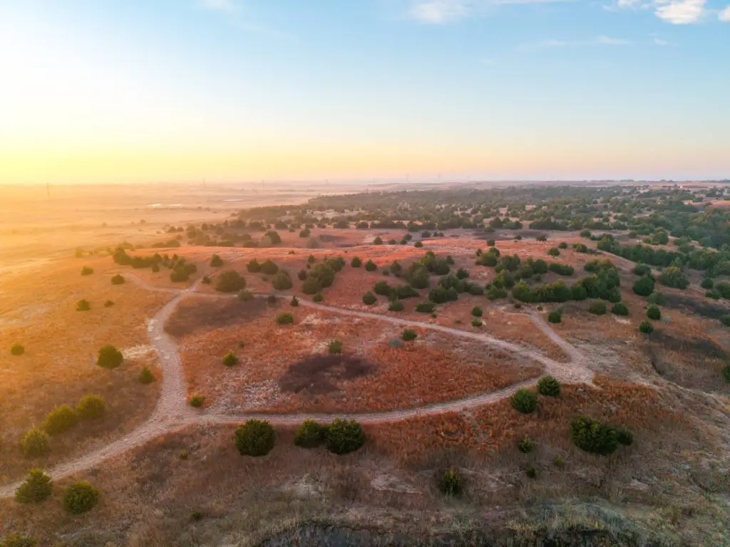
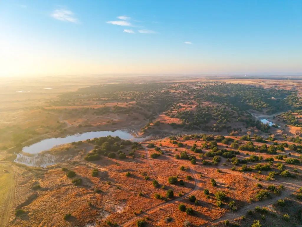
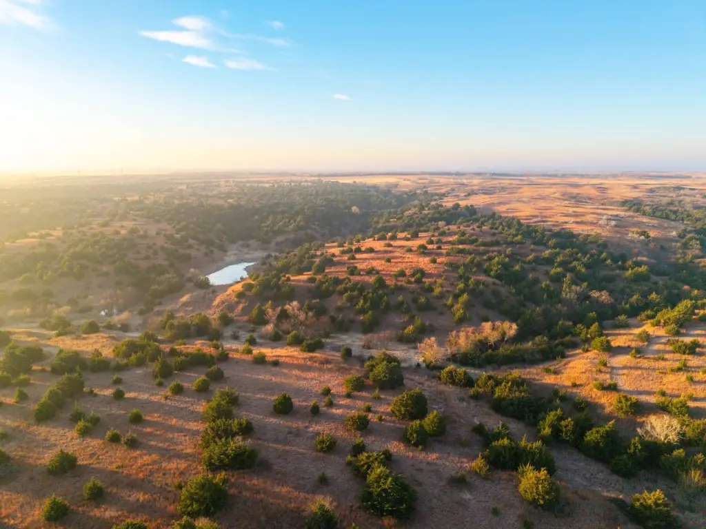
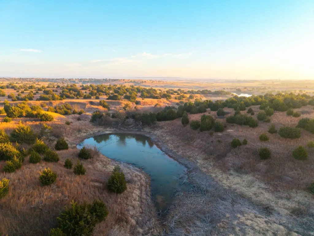
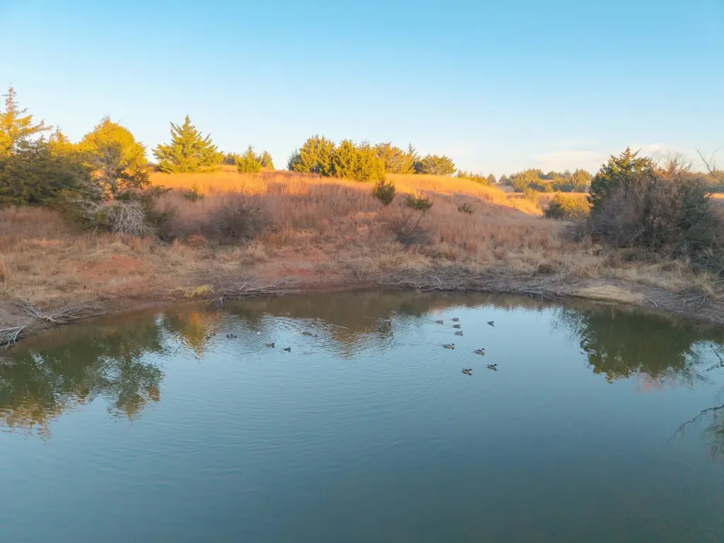
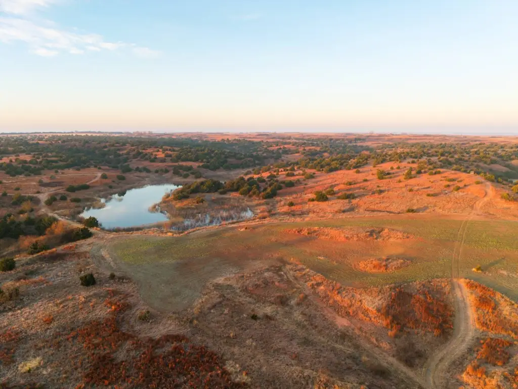
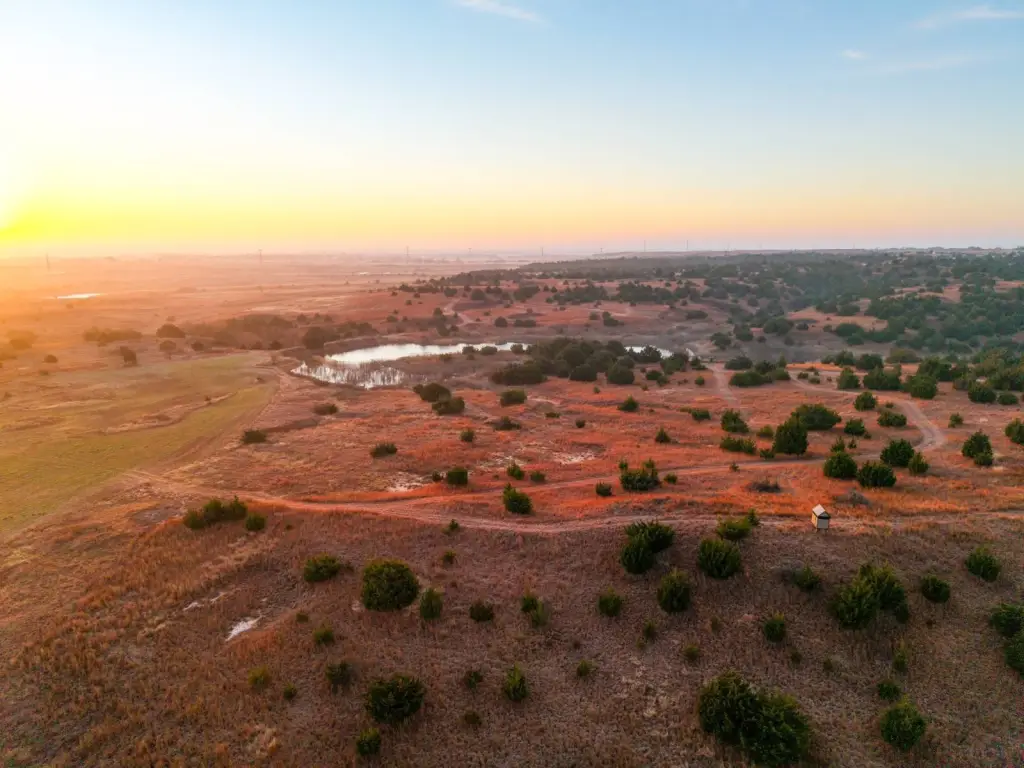
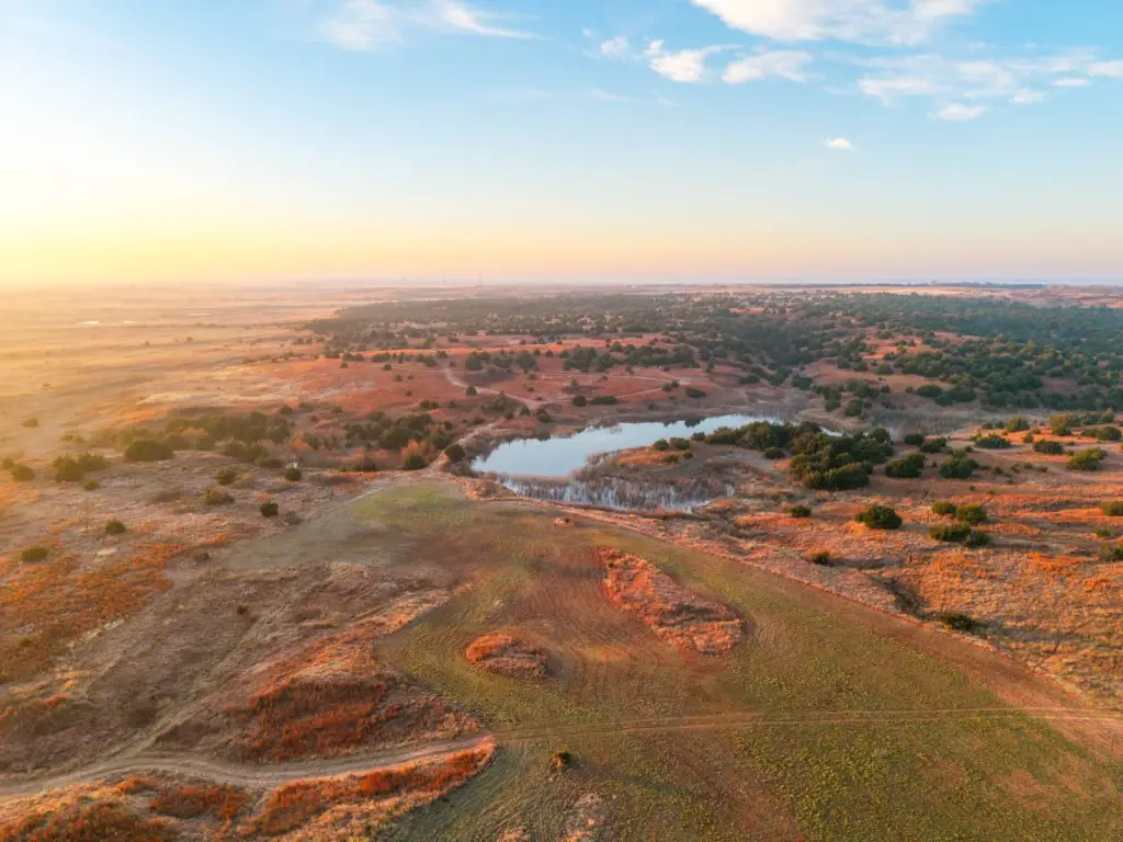
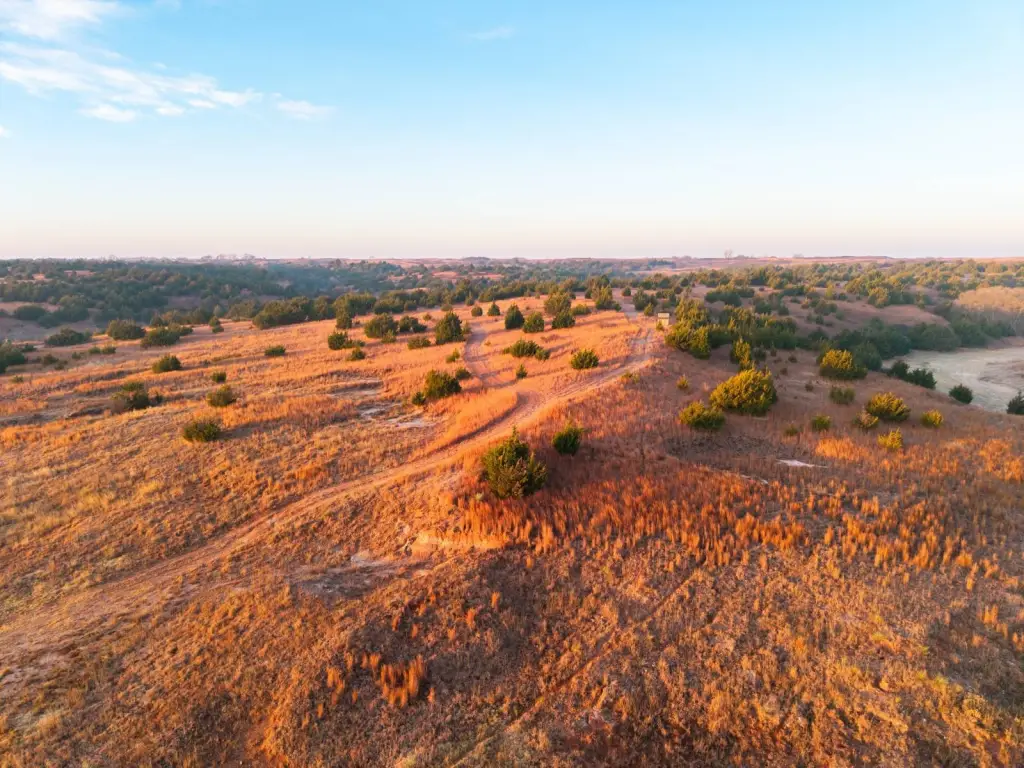
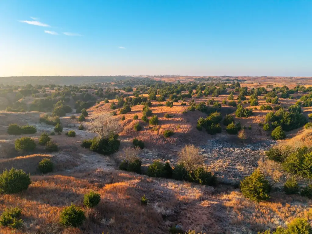
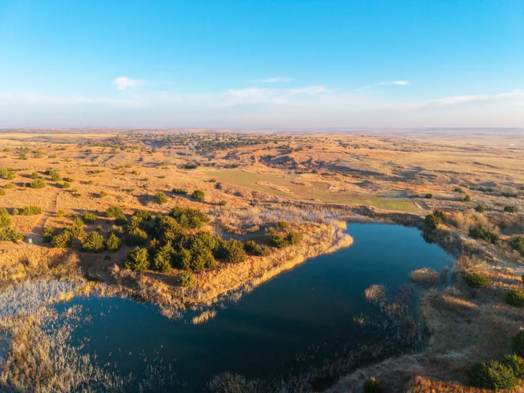
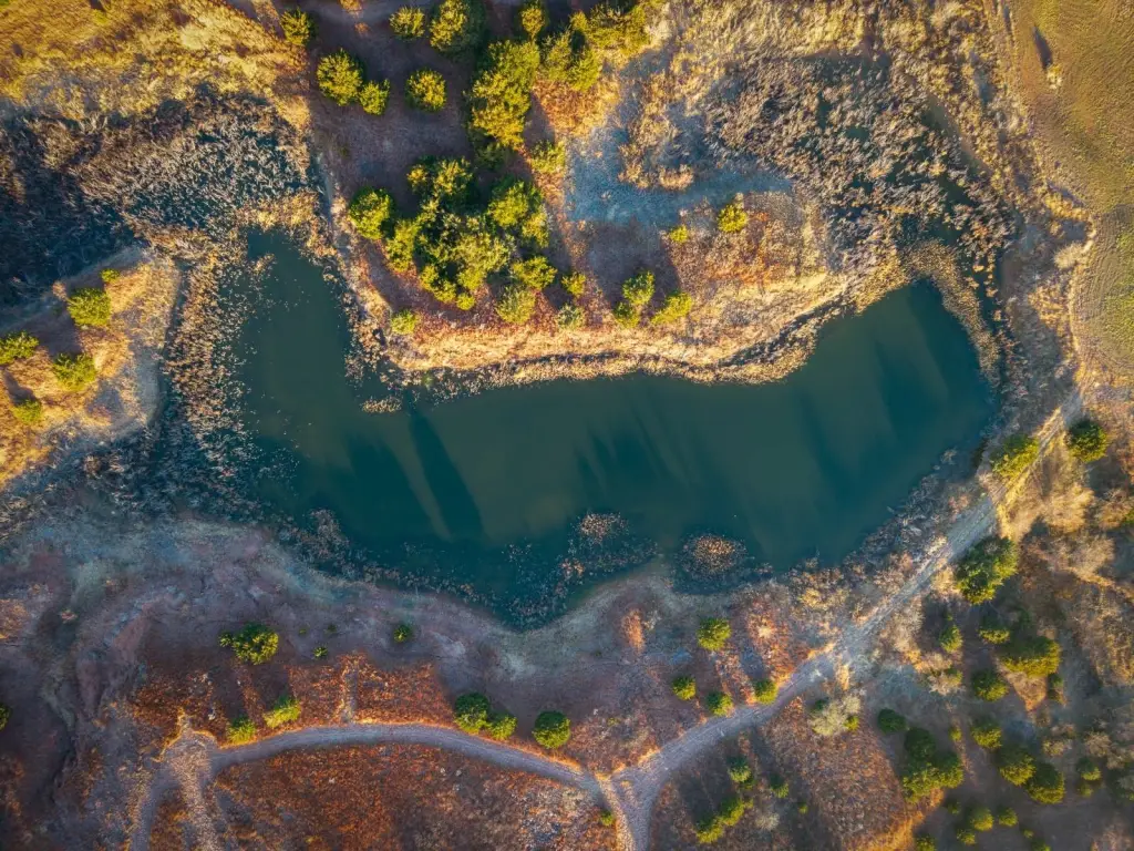
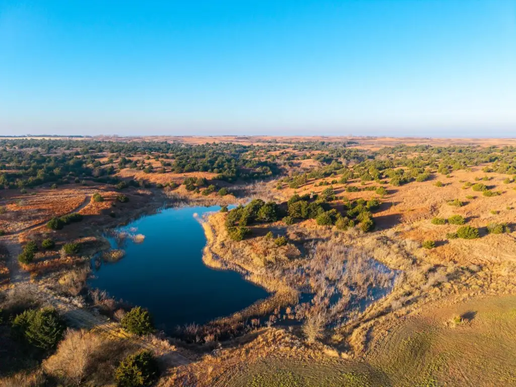
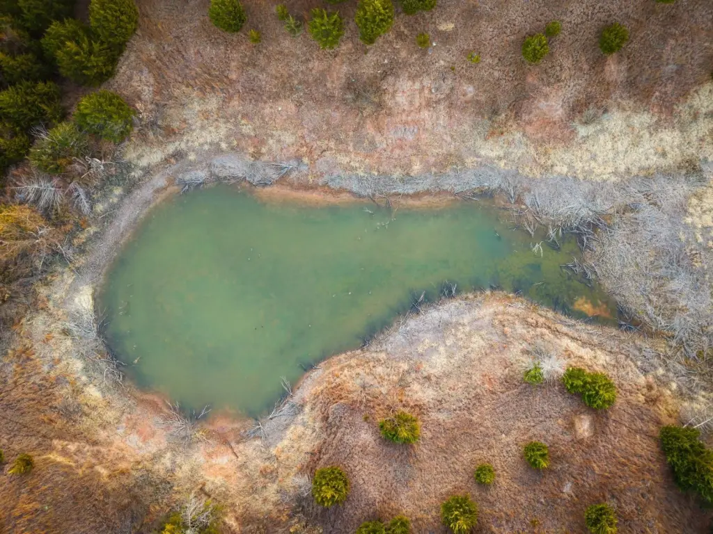
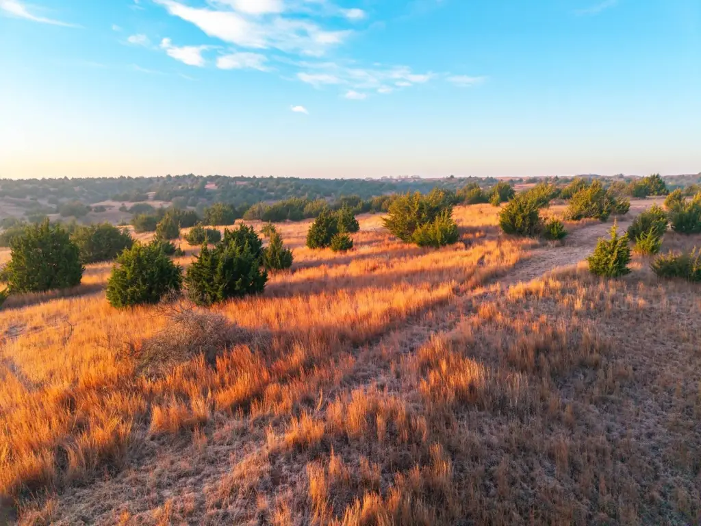
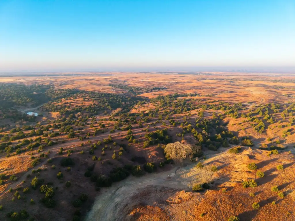
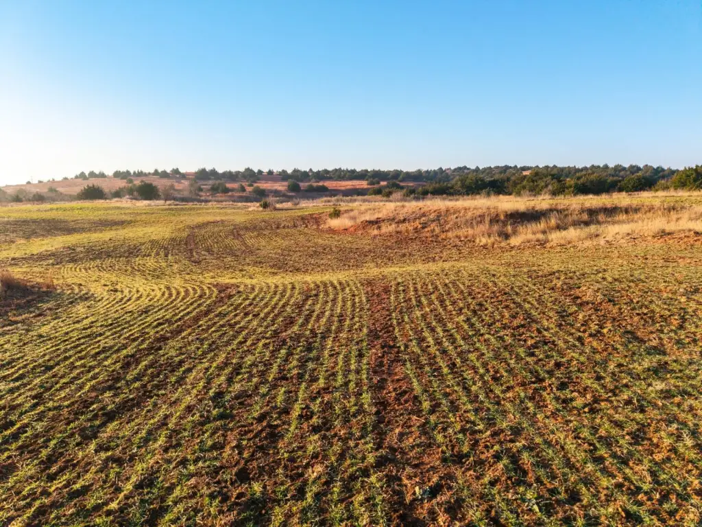
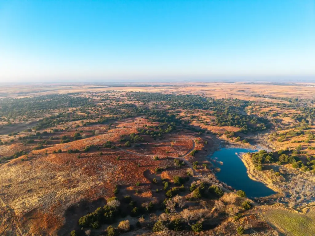
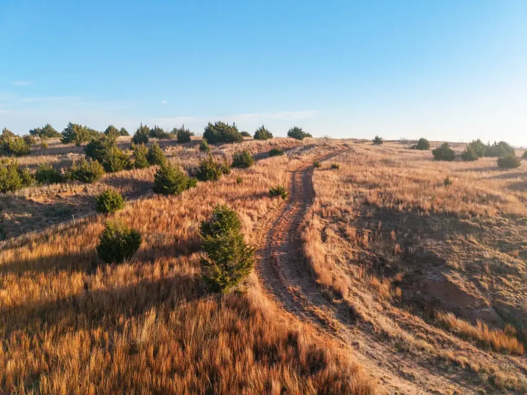
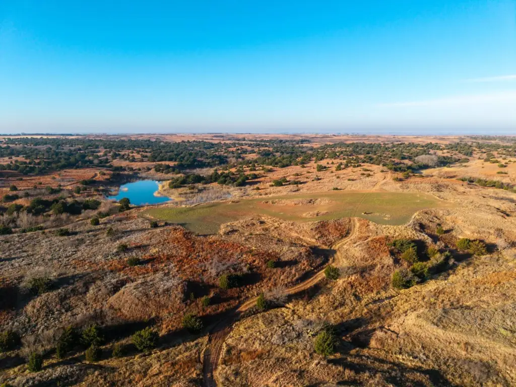
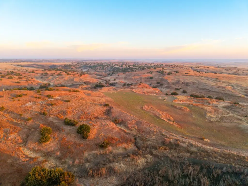
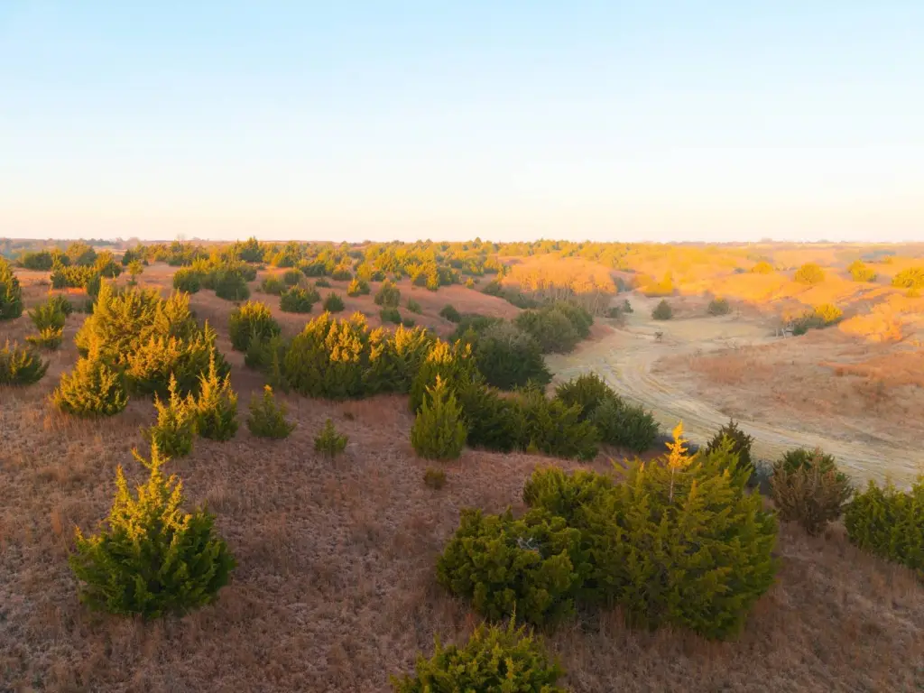
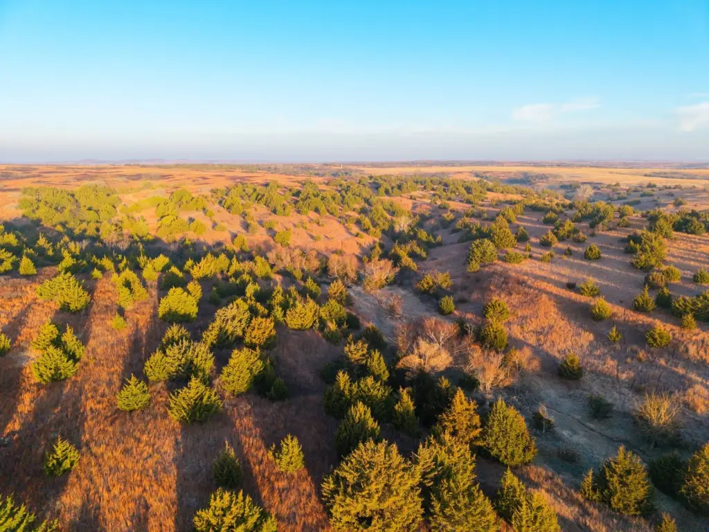
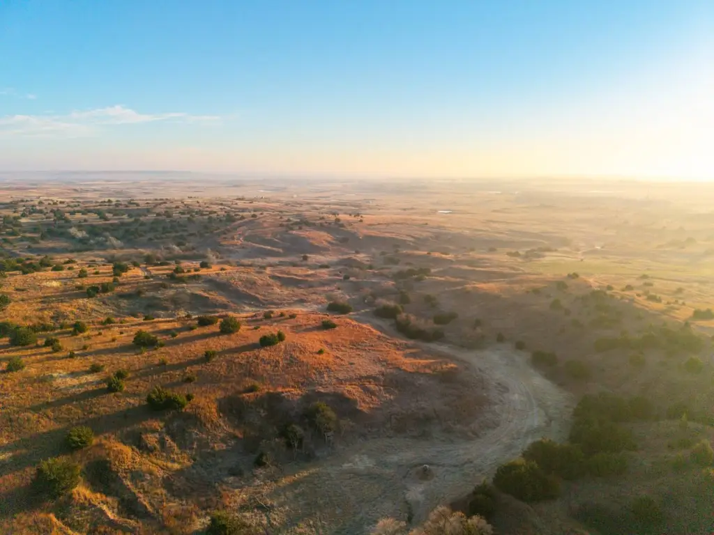
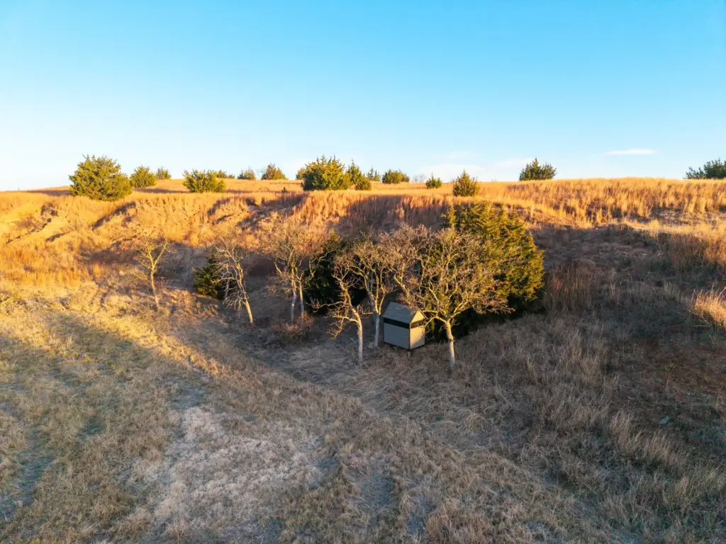
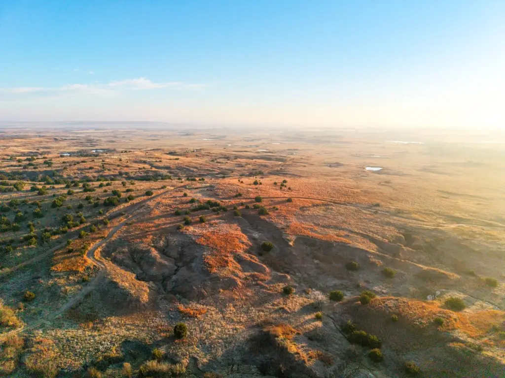
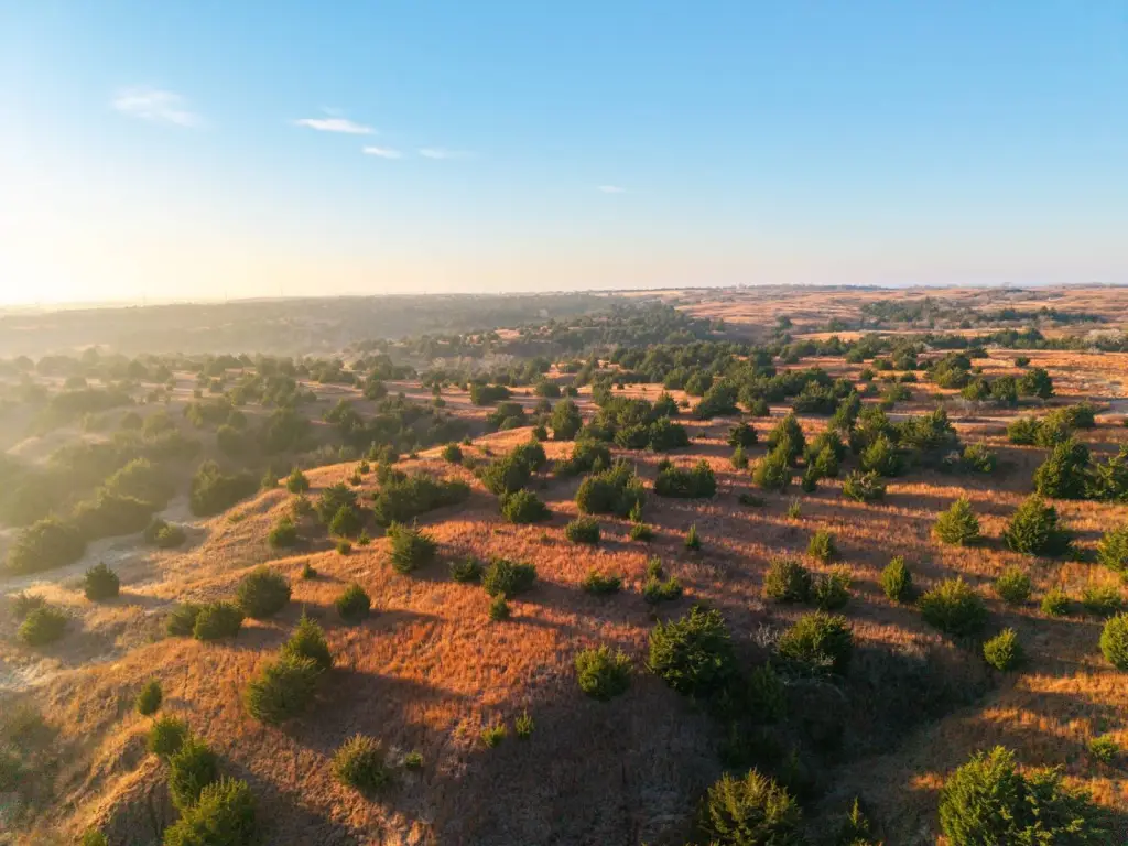
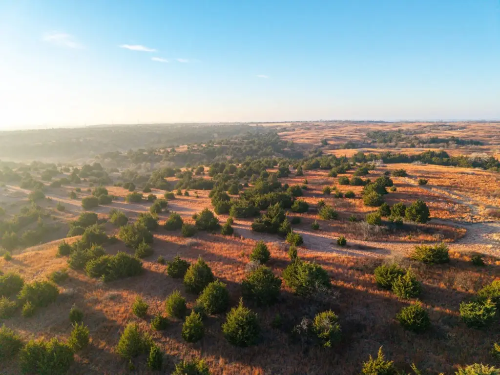
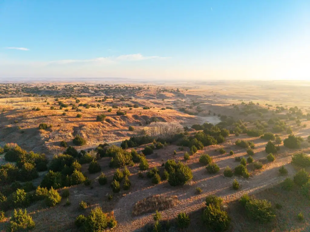
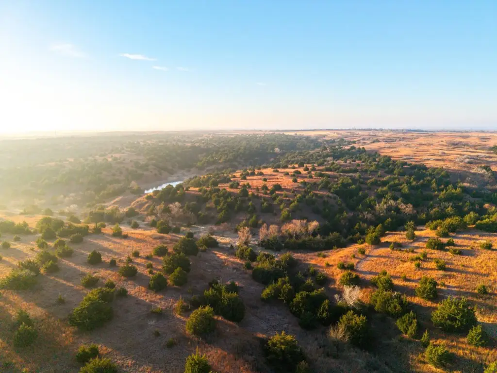
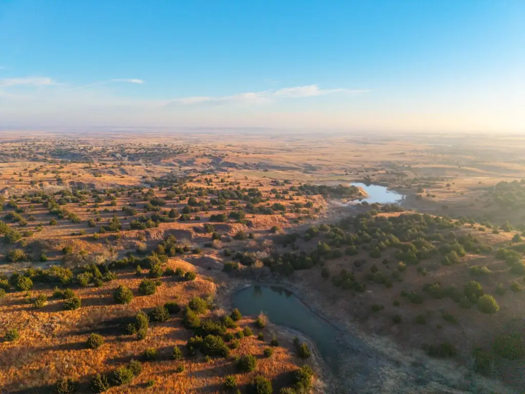
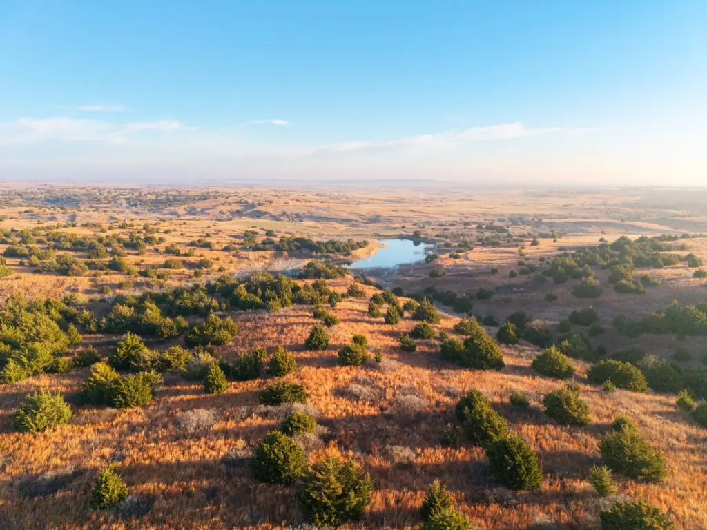
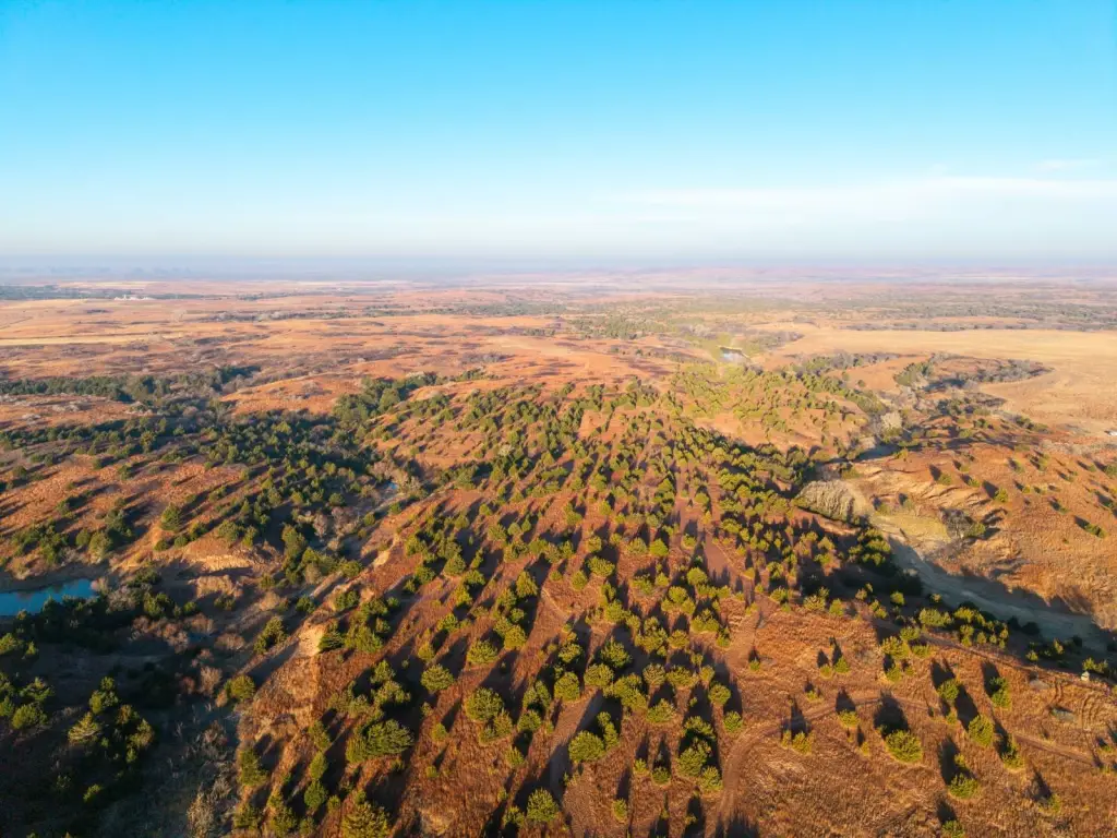
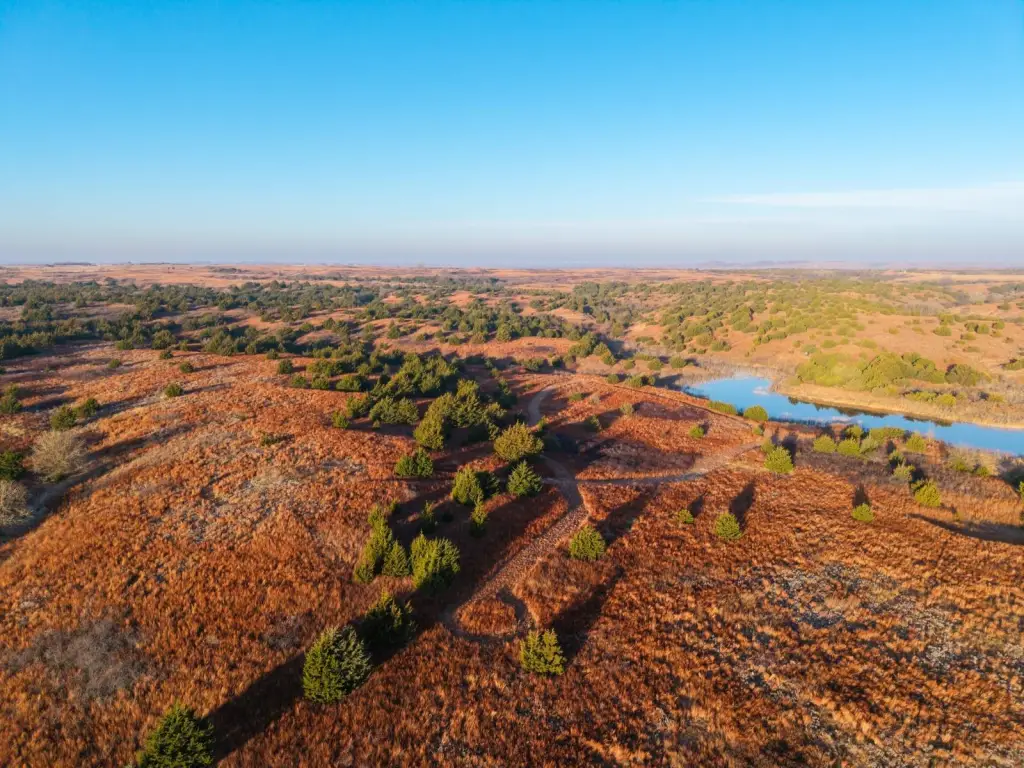
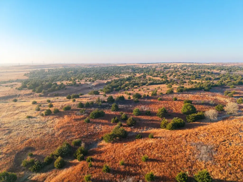
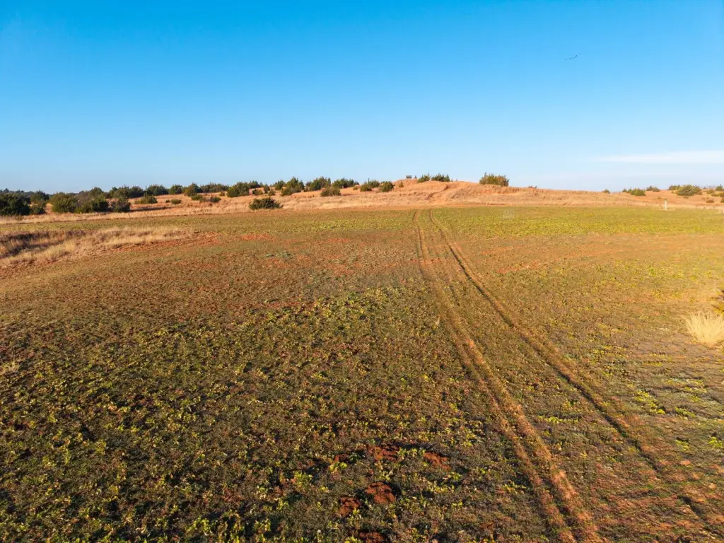
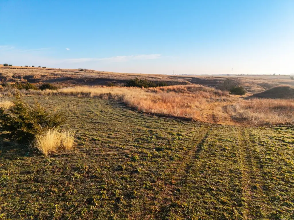
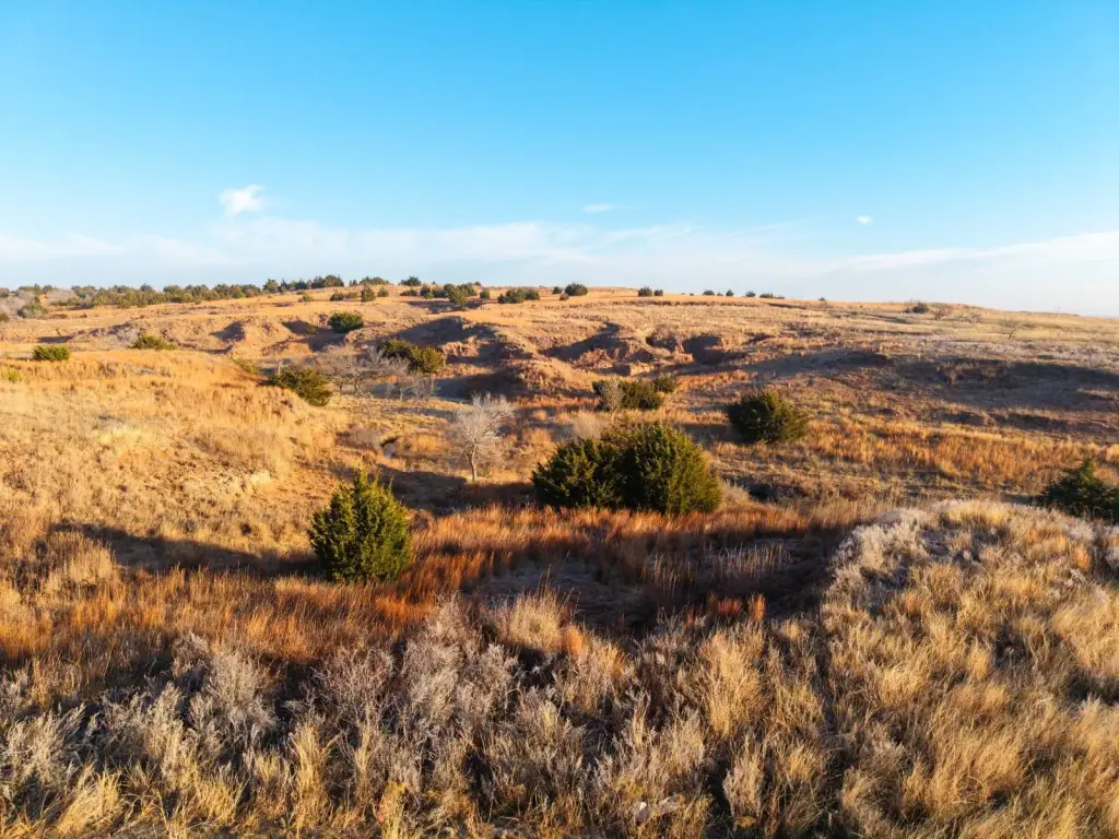
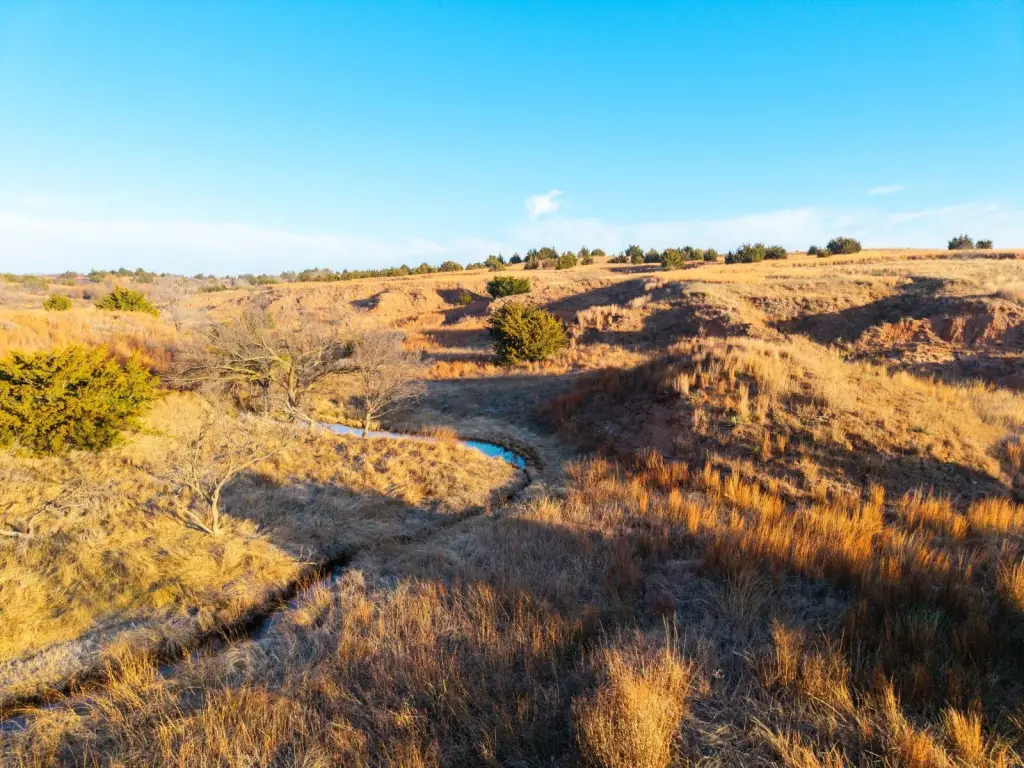
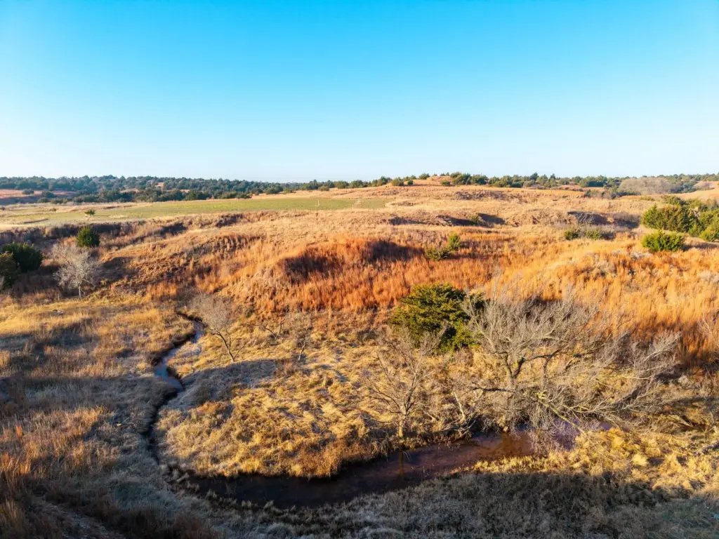
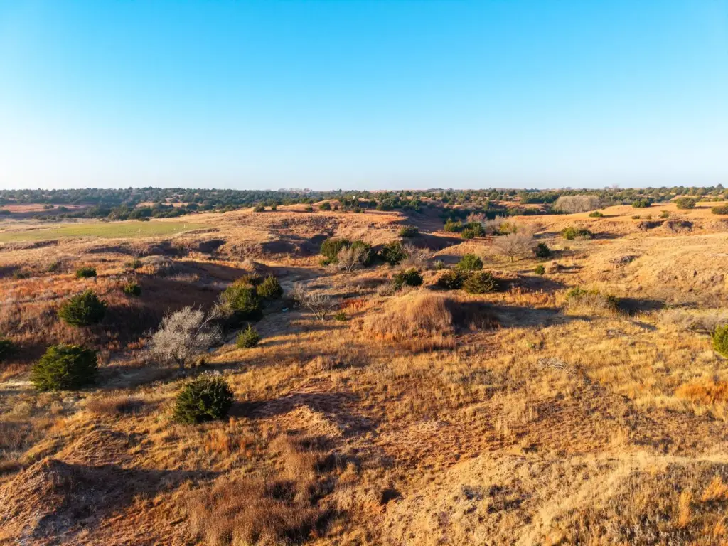
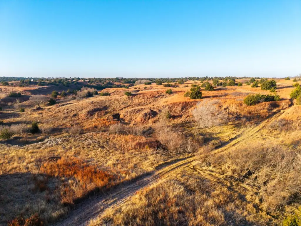
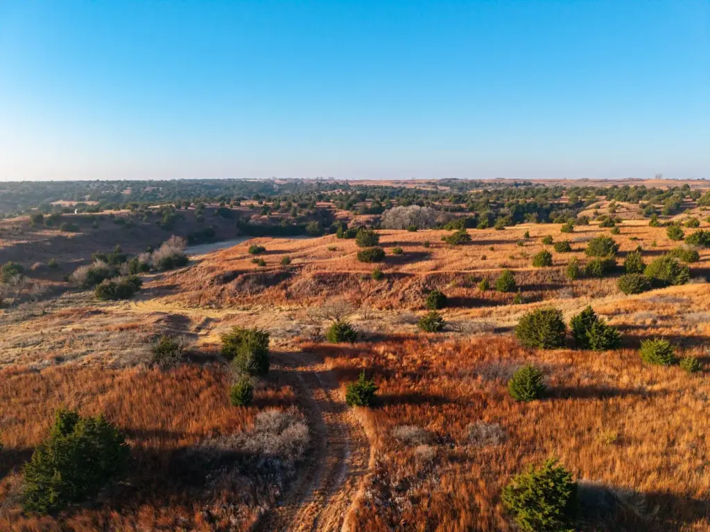
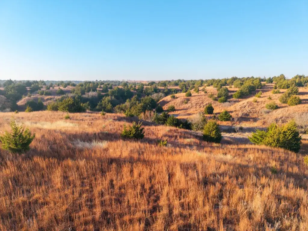
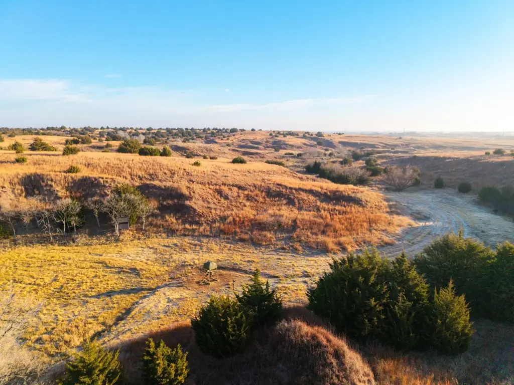
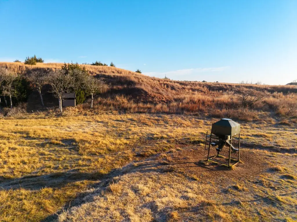
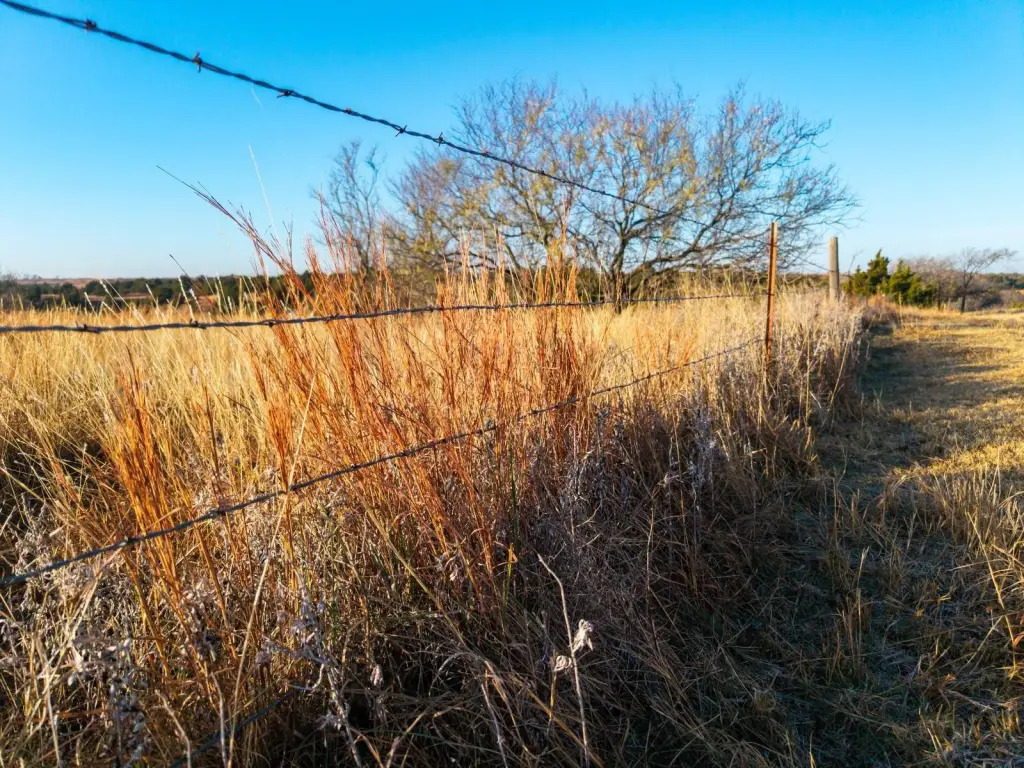
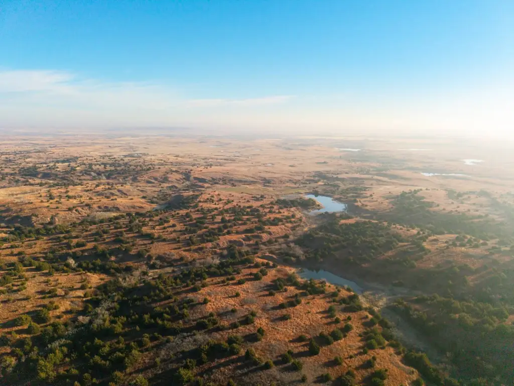
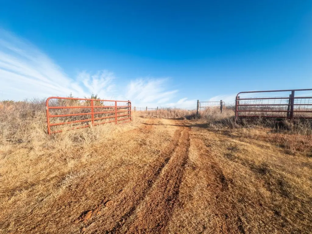
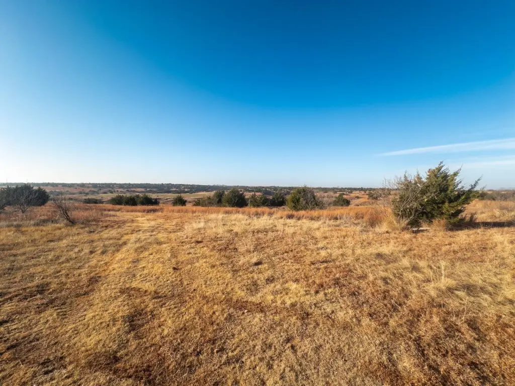
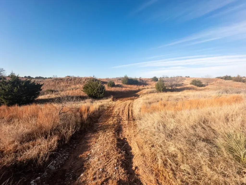
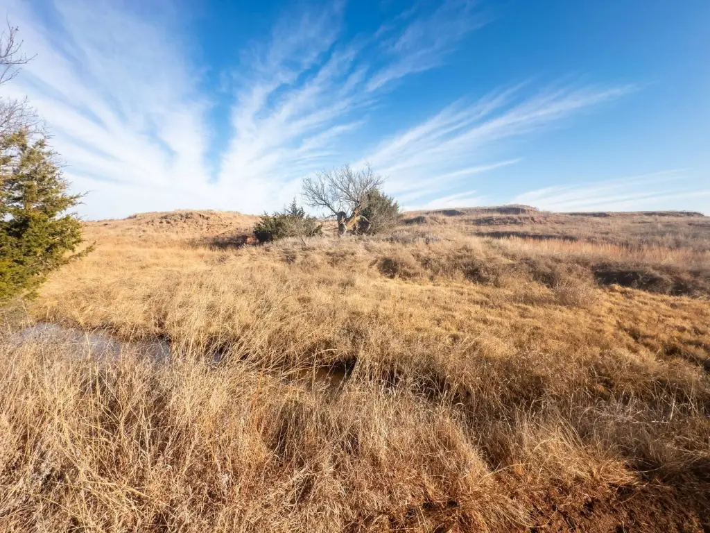
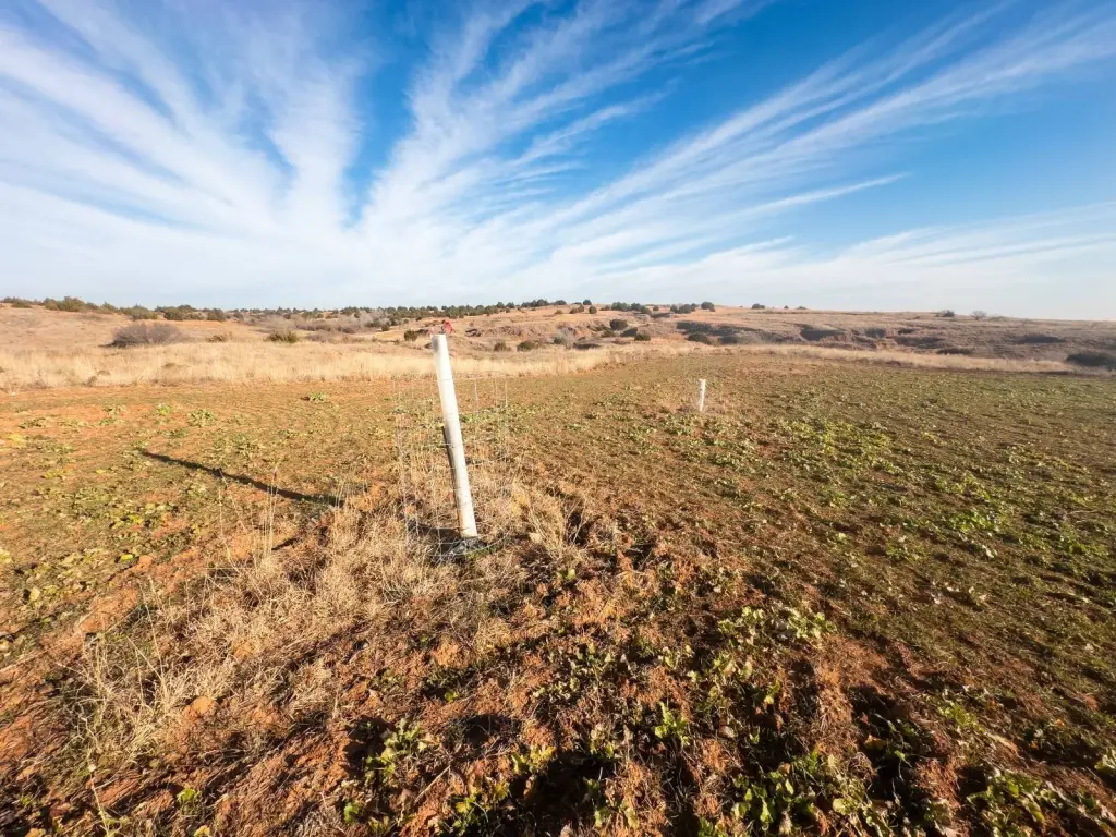
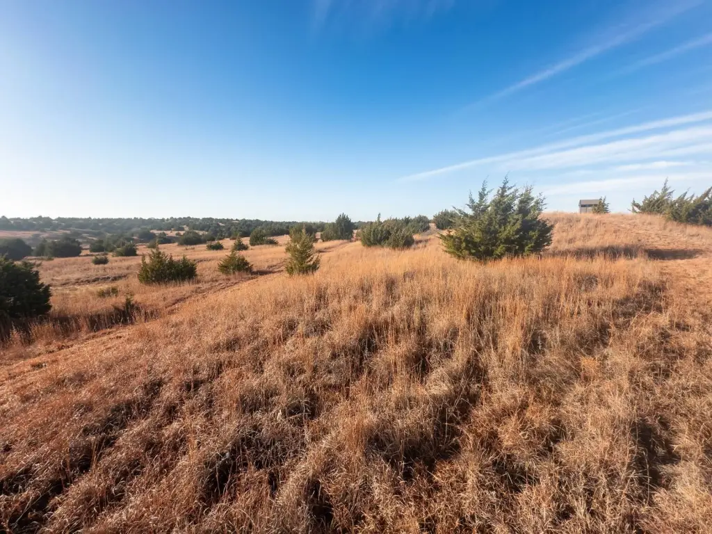
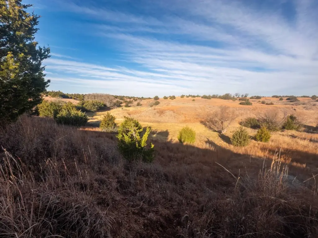
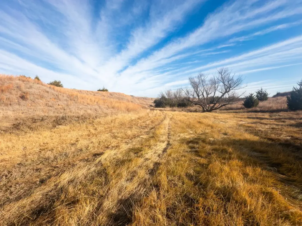
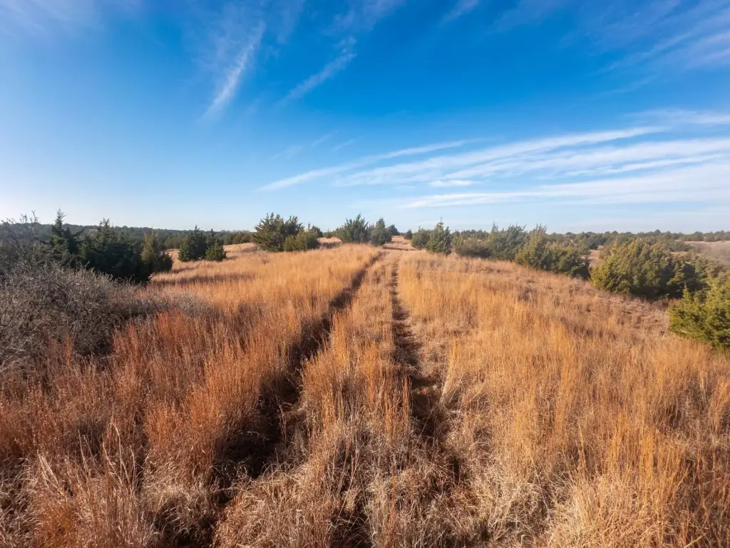
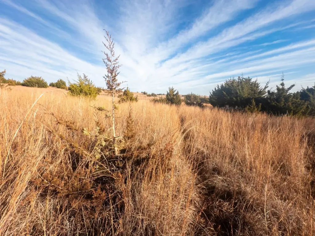
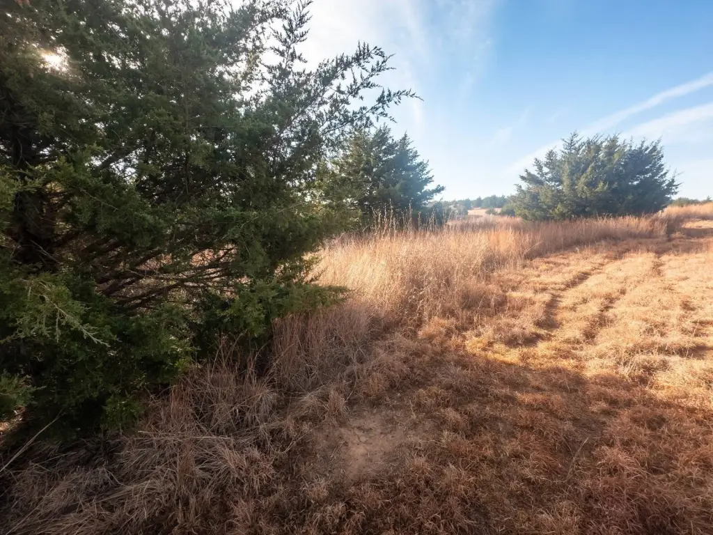
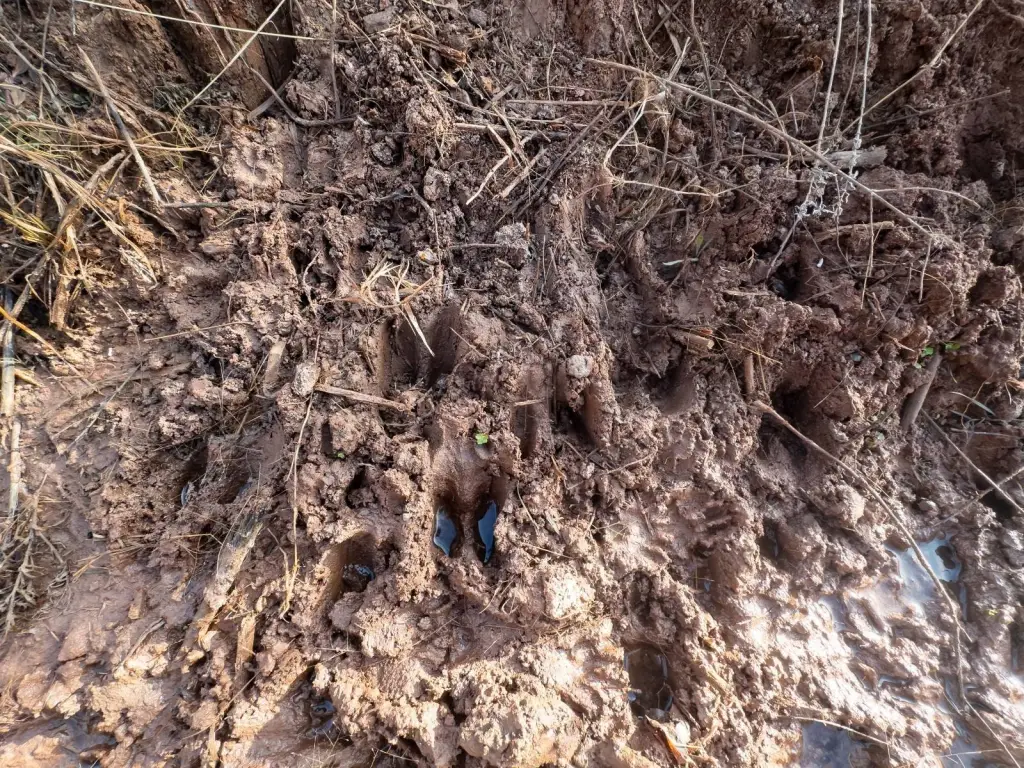
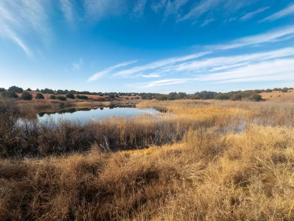
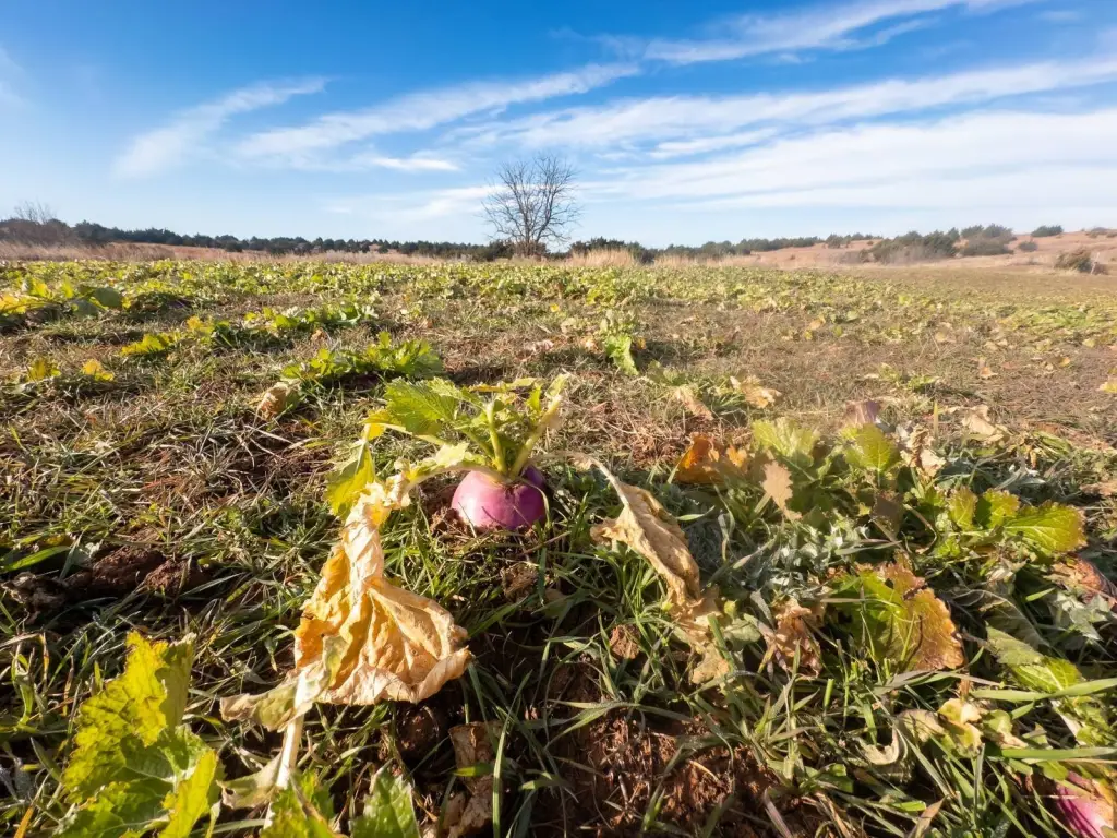
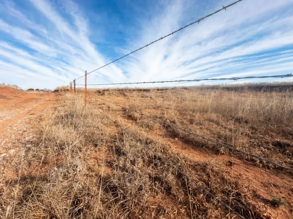
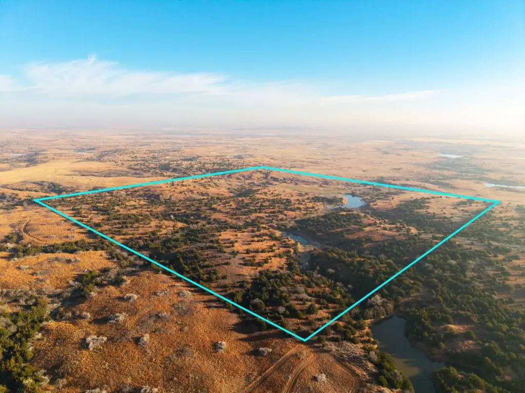
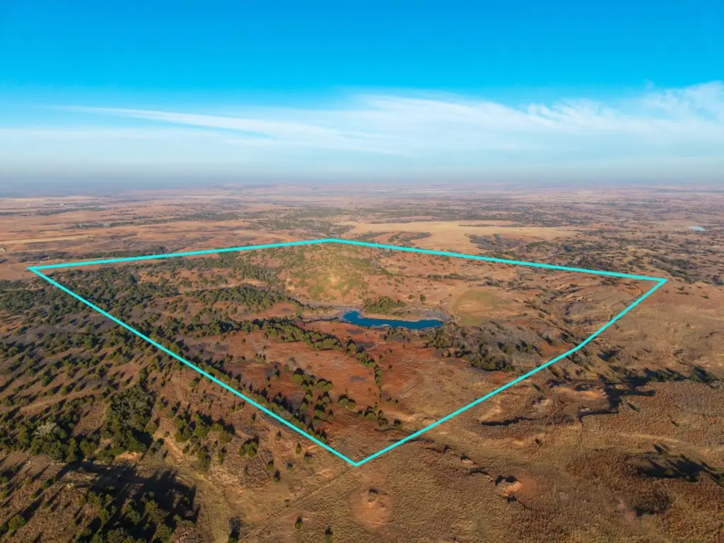
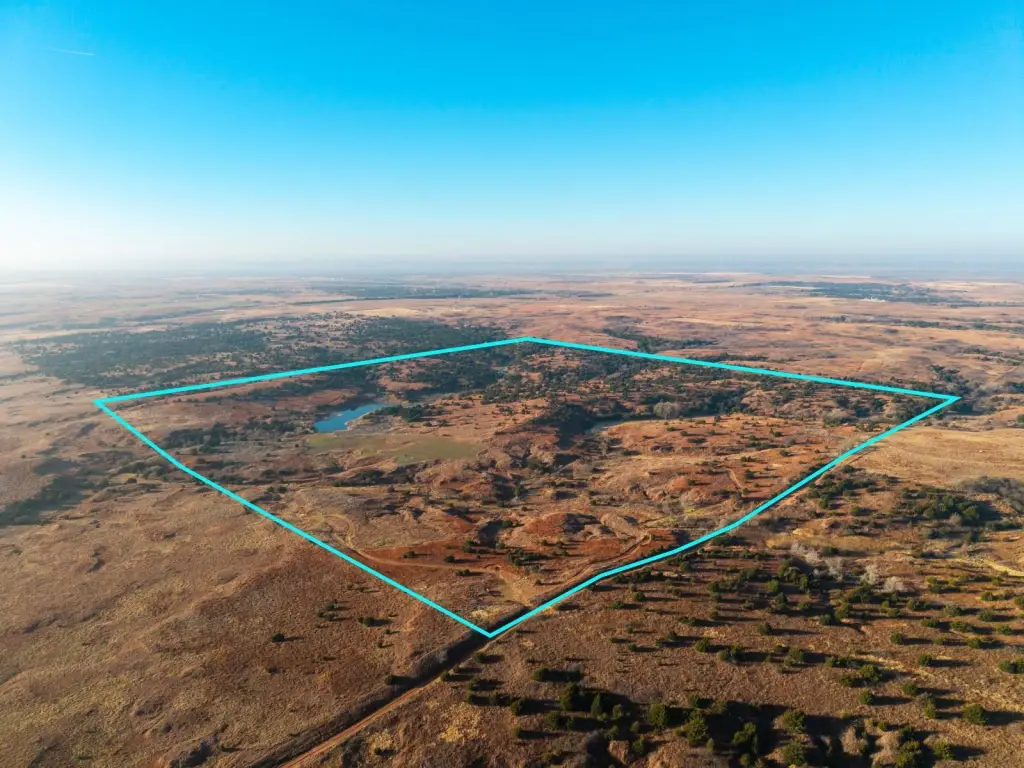
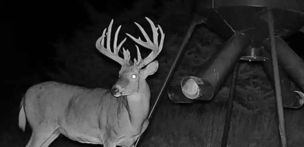
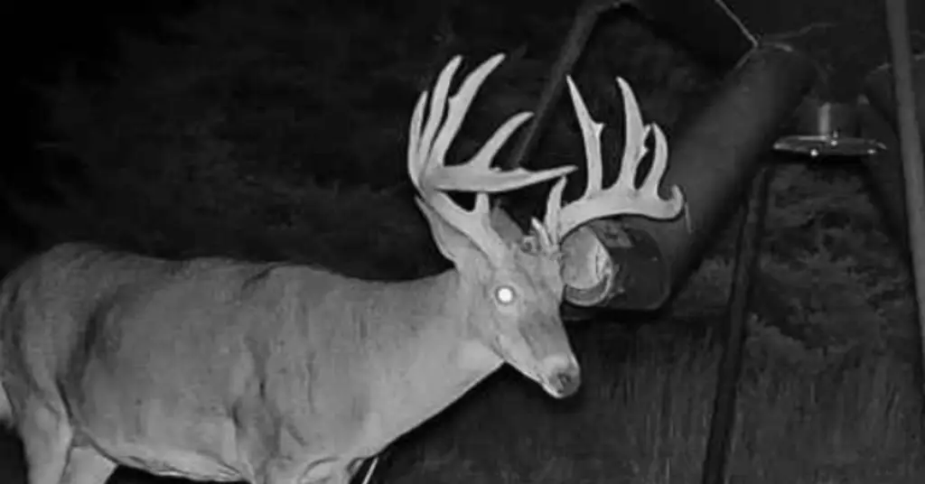
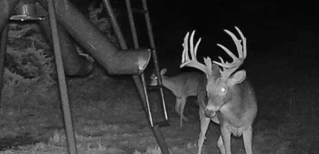
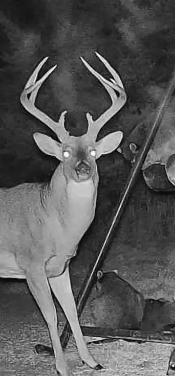
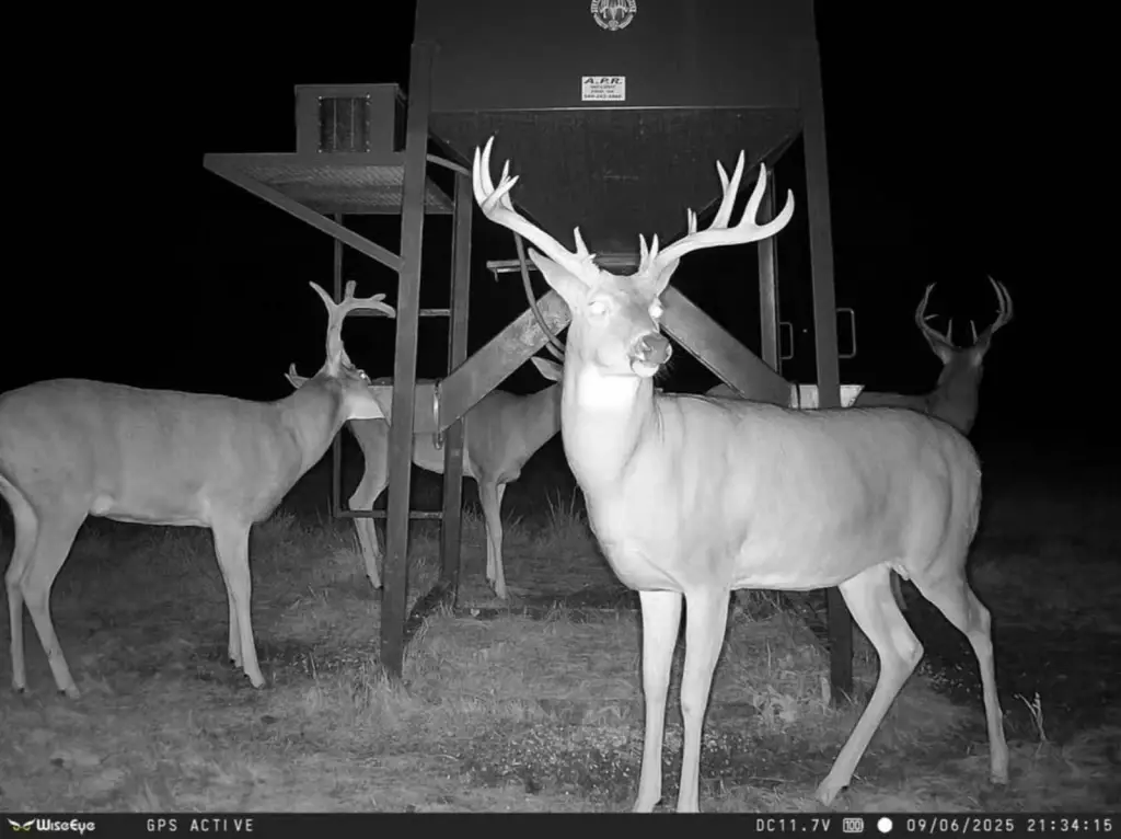
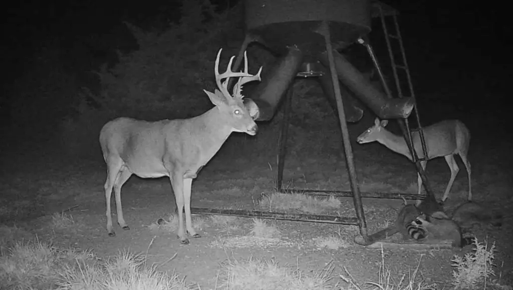
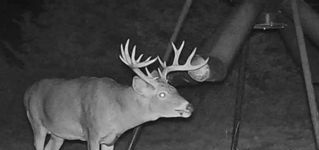
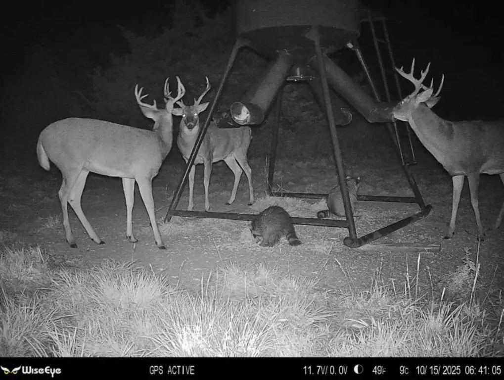
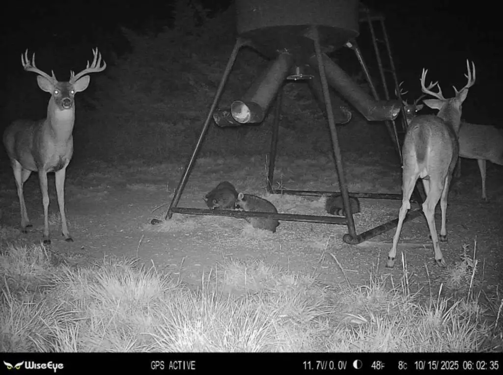
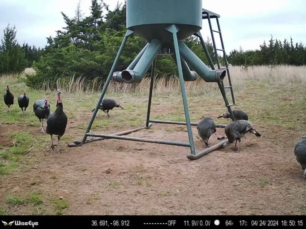
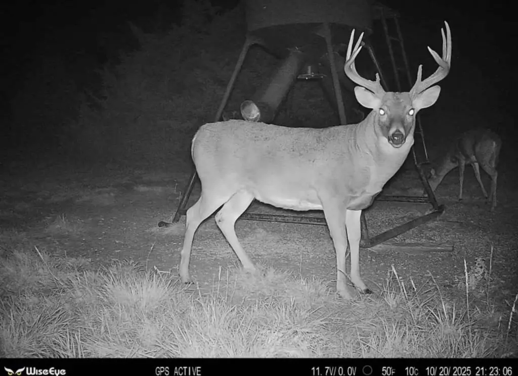
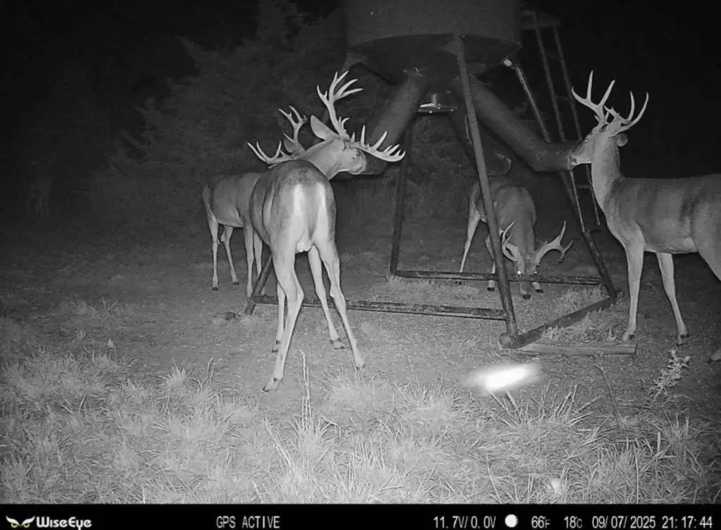
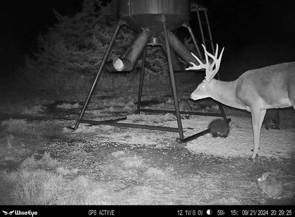
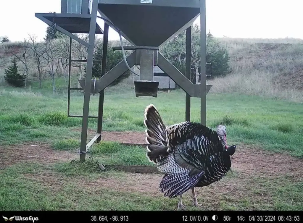
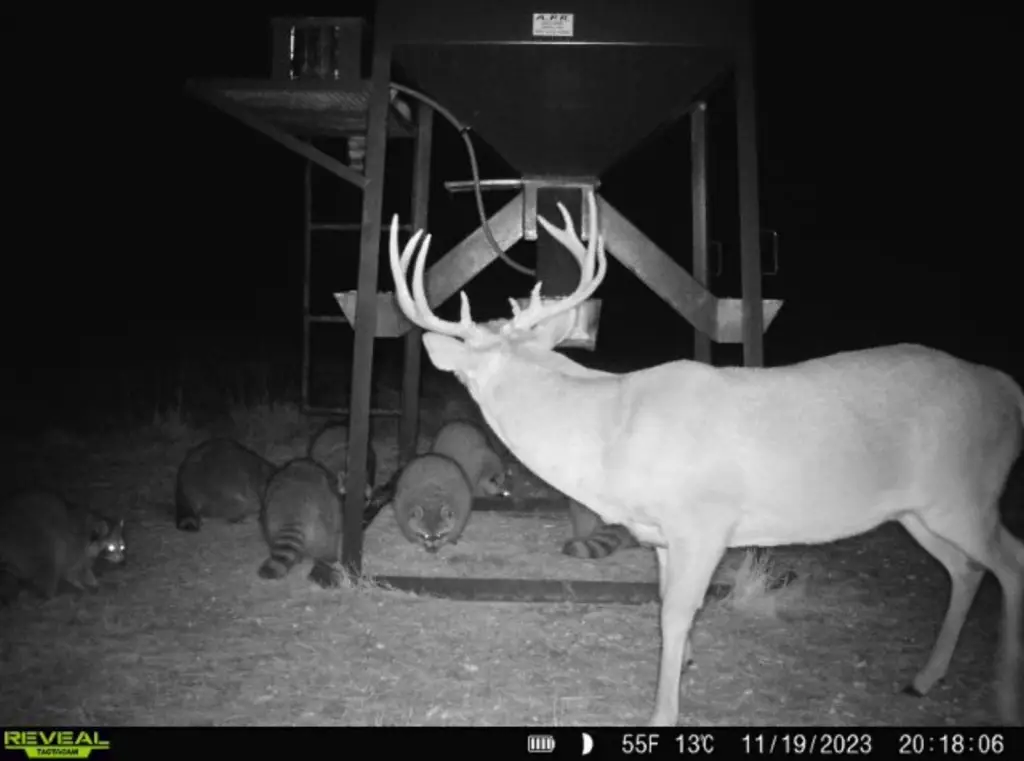
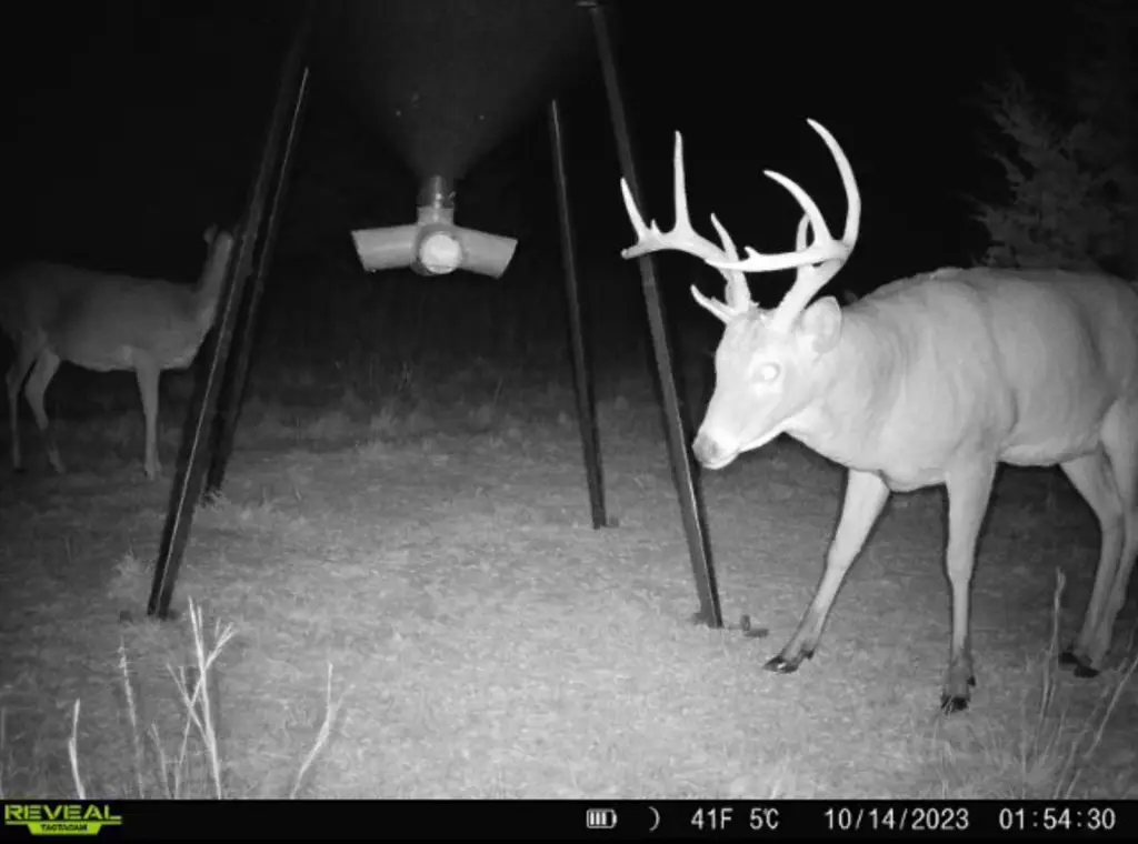
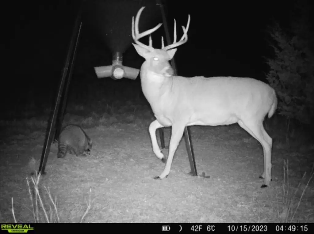
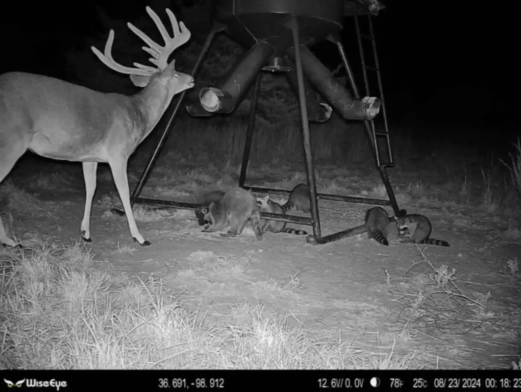
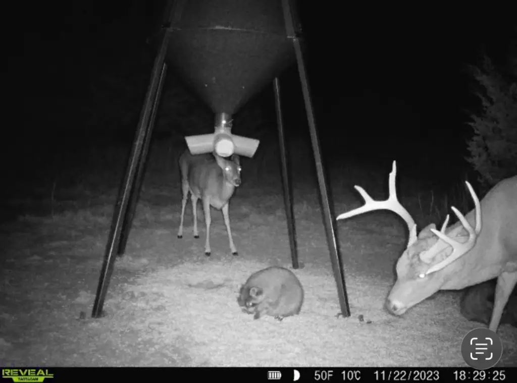
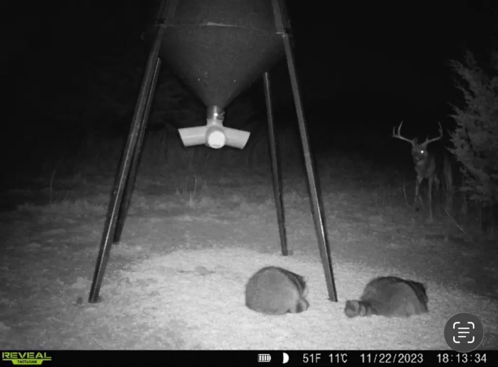
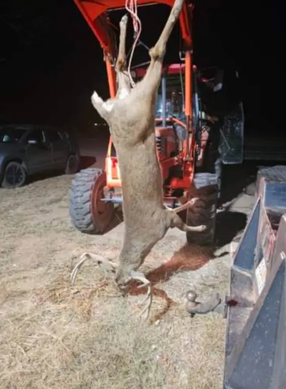
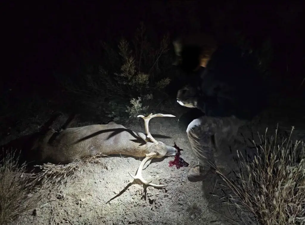
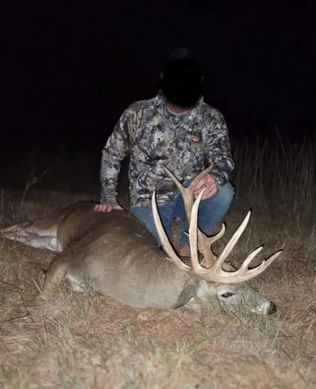
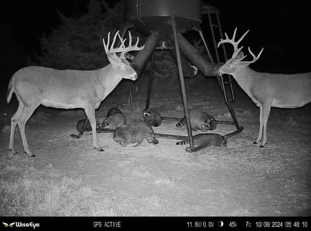
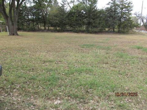
This 160-acre hunting property in Woods County combines rolling terrain, natural draws, native grasses, and scattered cedar trees. The tract includes two ponds, with fish reported in the water and ducks observed using the pond in the southwest corner. Deer, turkey, quail, and dove are among the wildlife referenced for the property. The land is fenced and positioned at the end of a dead-end road, providing a secluded setting for recreational use.
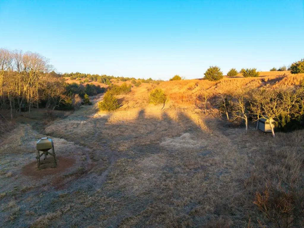
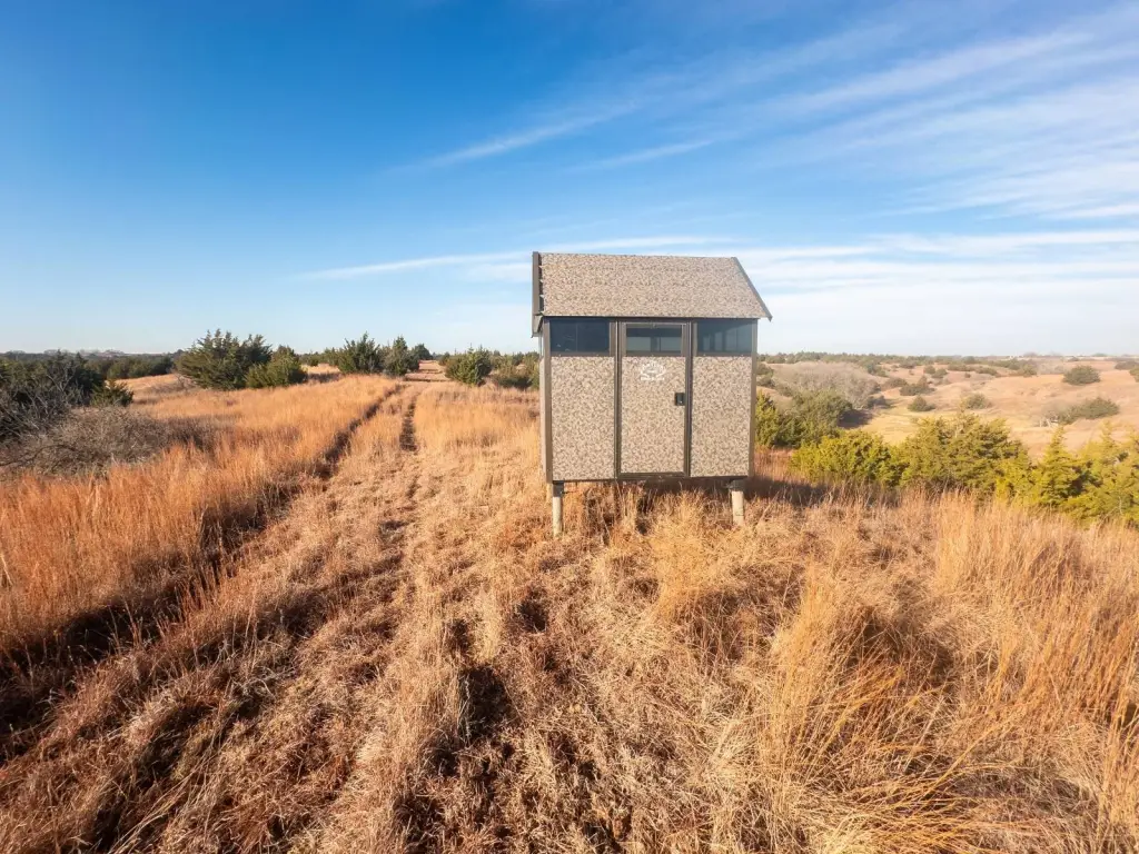
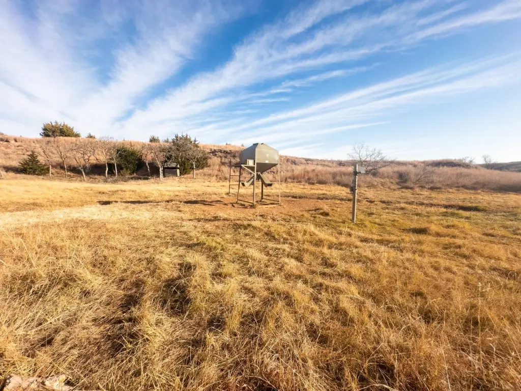
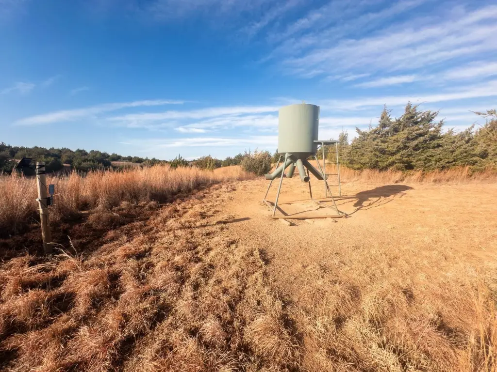
Located on E0220 Rd, the property is approximately 9+/- miles north of Waynoka, 23+/- miles southwest of Alva, 49+/- miles northeast of Woodward, and 80+/- miles northwest of Enid. Showings are by appointment only. Any existing stands or feeders do not convey with the sale.
Located on E0220 Rd, the property is approximately 9+/- miles north of Waynoka, 23+/- miles southwest of Alva, 49+/- miles northeast of Woodward, and 80+/- miles northwest of Enid. Showings are by appointment only. Any existing stands or feeders do not convey with the sale.
Key Highlights
- 160 acres in Woods County, Oklahoma
- Two ponds, including a southwest‑corner pond used by observed ducks
- Rolling terrain with natural draws, native grasses, and scattered cedar trees
Property Analytics
Unlock full access to Insights
Subscribe to Realmo Intelligence
Open Analytics
Current Use
Location Intelligence
Demographics for 73860, OK
1,150
Population
729
Households
1.6
Avg Household Size
43
Median Age
18%
College-Educated
88%
High-School Grad
327.8 sq mi
ZIP Area
4
Density / Sq Mi
$67,692
Median Household Income
$40,556
Median Earnings
$752
Median Rent
$134,500
Median Home Value
Check the figures for this property
Cap Rate, Value Estimation, Potential NOI and more
View Realmo Analytics

Frequently Asked Questions
What type of property is this?
Hunting land - Fenced recreational tract with rolling terrain, native grasses, cedar cover, water sources, and access from a dead-end road.
Where is this hunting land located?
The property is located at E0220 Rd Waynoka, OK.
What is the asking price?
The asking price for this property is $400,000.
What are key features of this property?
This property features: 160 acres in Woods County, Oklahoma; Two ponds, including a southwest‑corner pond used by observed ducks; Rolling terrain with natural draws, native grasses, and scattered cedar trees


