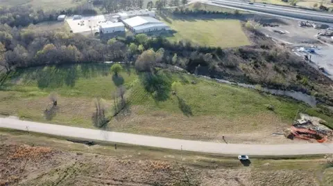
E Blue Creek Road, McAlester, OK 74501
- Added:
- Jun 15, 2026
- Days on Market:
- 16
- Last Refresh:
- Jun 30 at 4:06 am
Property Features for E Blue Creek Road
General Information
- Property type
- Land
- Property subtype
- Other
- Zoning
- agr
- Standard status
- Active
- Lot size
- 80.11 Acres
Taxes and HOA fees
- Tax Year
- 2024
- Tax Description
- A parcel located in T7N R16E Section 25 consisting of 80 acres, m/l . RECENT SURVEY AND LEGAL DESCRIPTION ON FILE.
- Tax Annual Amount
- 500
Listing agent Marty Donaldson License #111590 (918) 426-4343
Listing office C21/Shirley Donaldson Inc 711 W Carl Albert Parkway, McAlester, OK (918) 426-4343
Listing date Jun 15, 2026
Copyright © 2026 MLS Technology, Inc. All rights reserved. All information provided by the listing agent/broker is deemed reliable but is not guaranteed and should be independently verified.
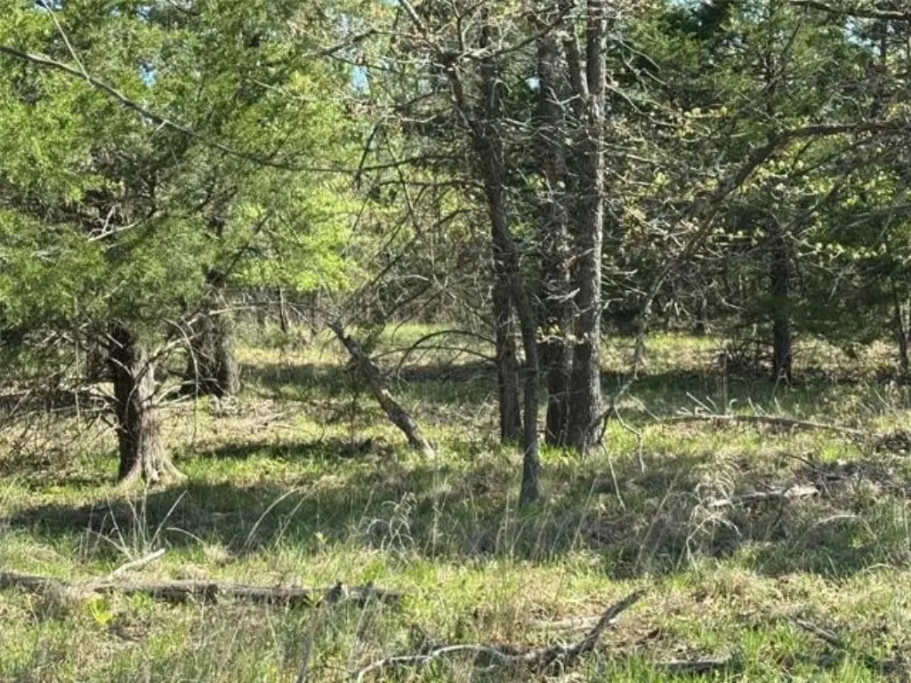
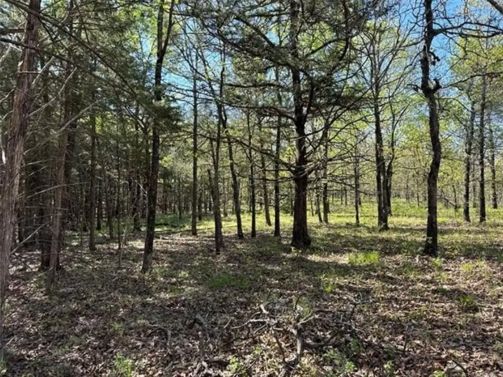
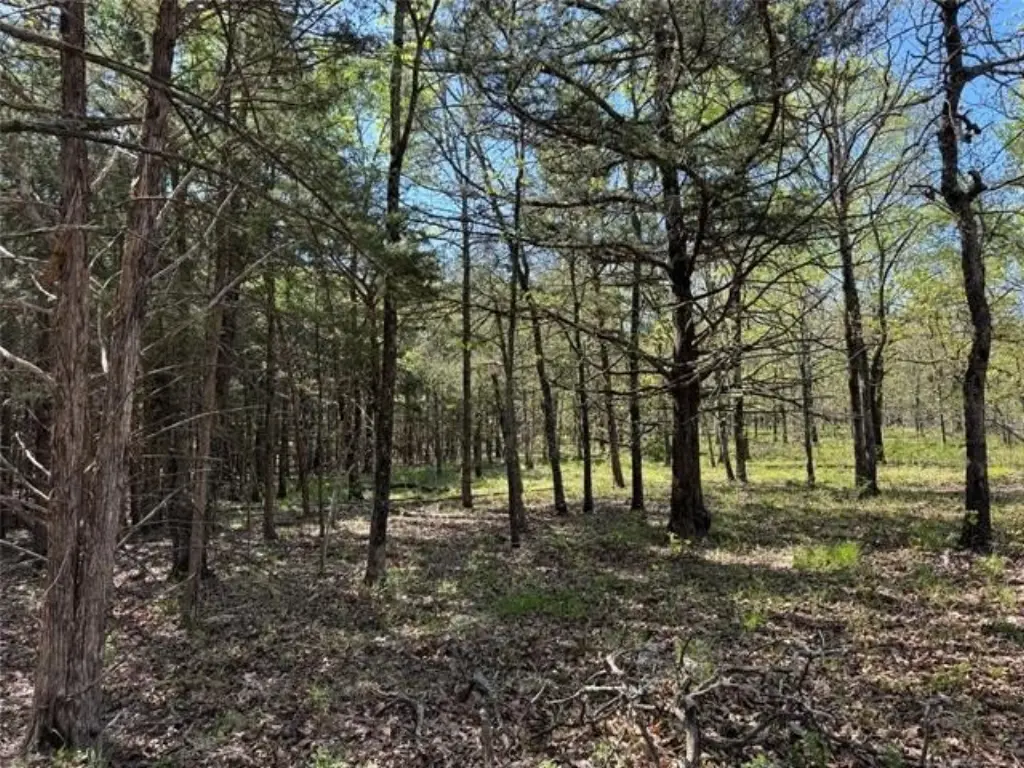
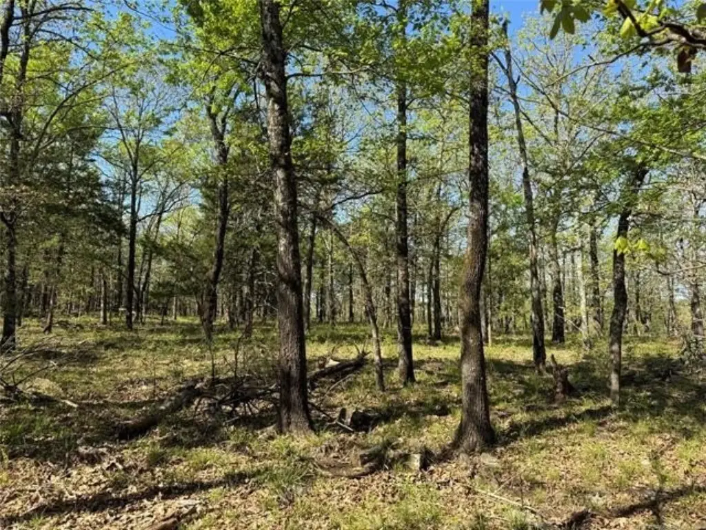
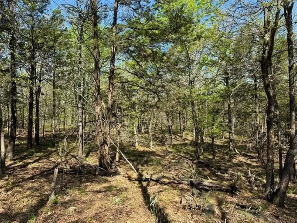
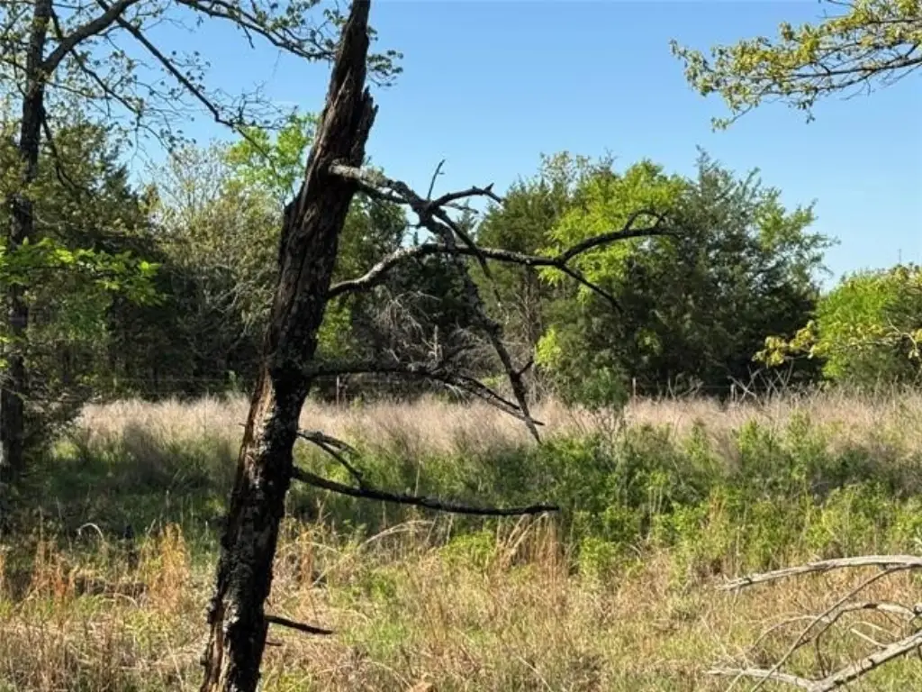
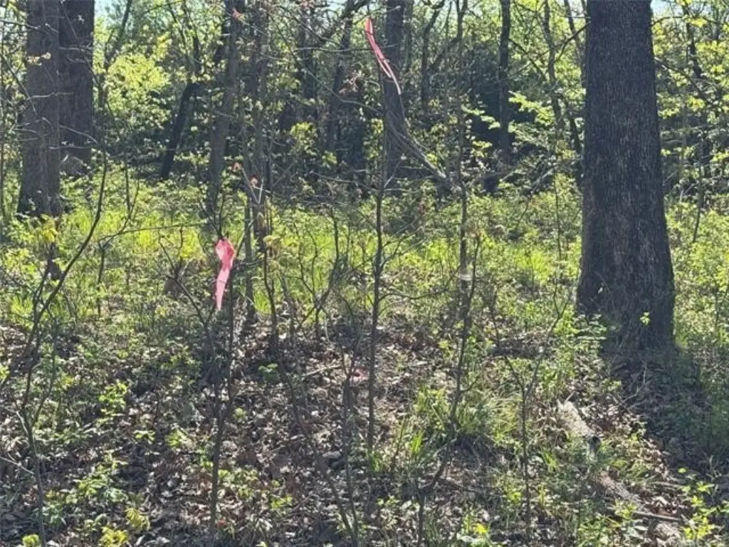
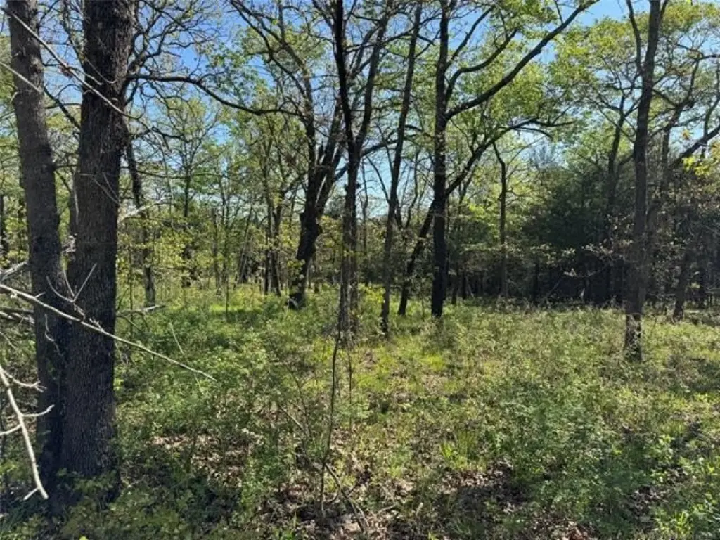
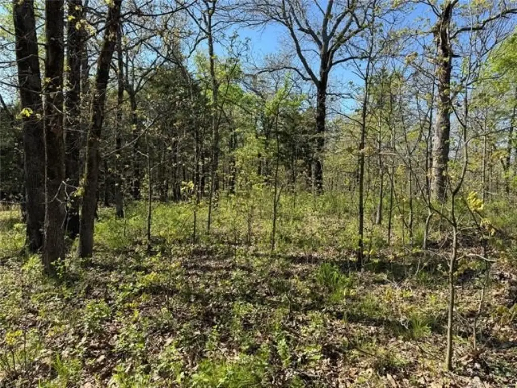
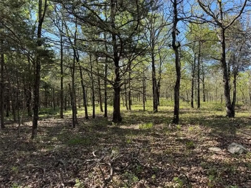
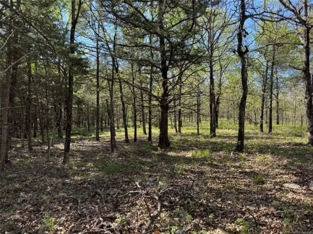
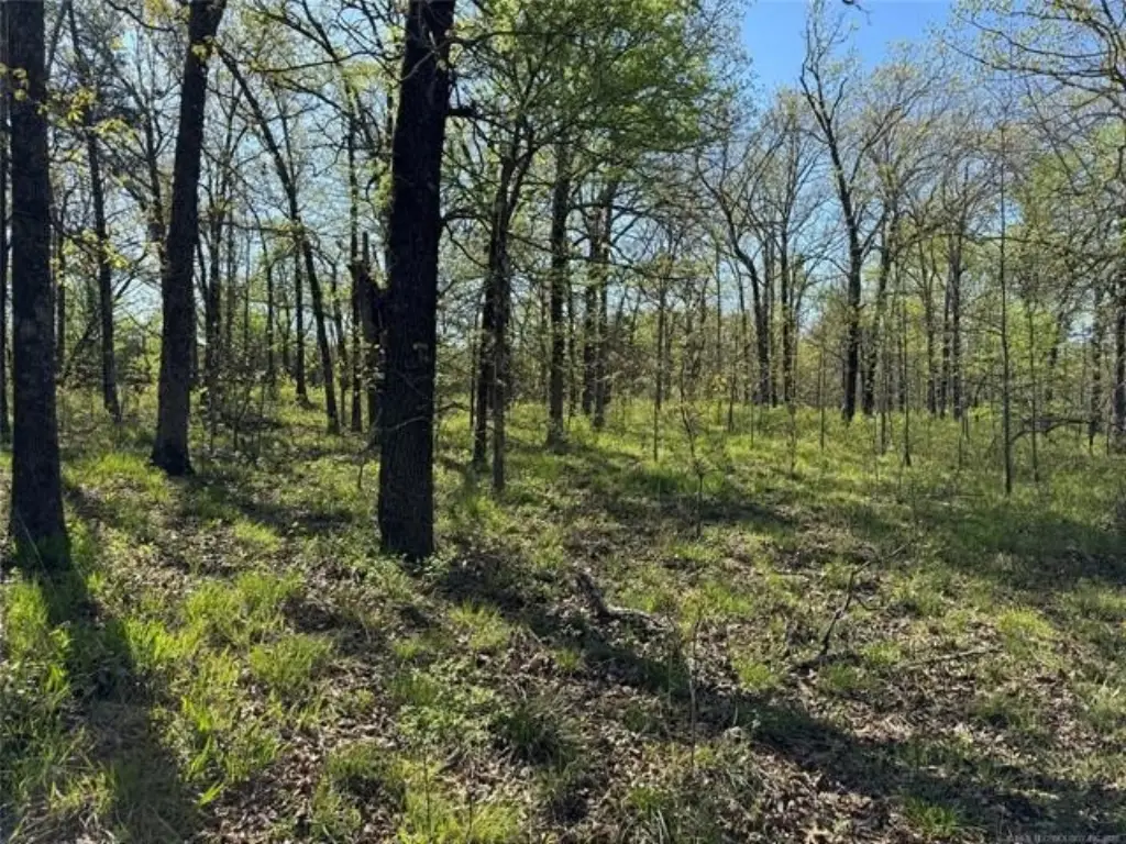
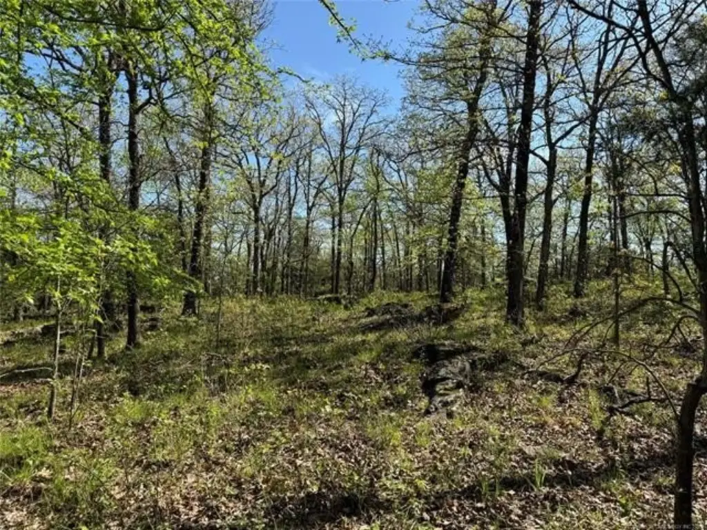
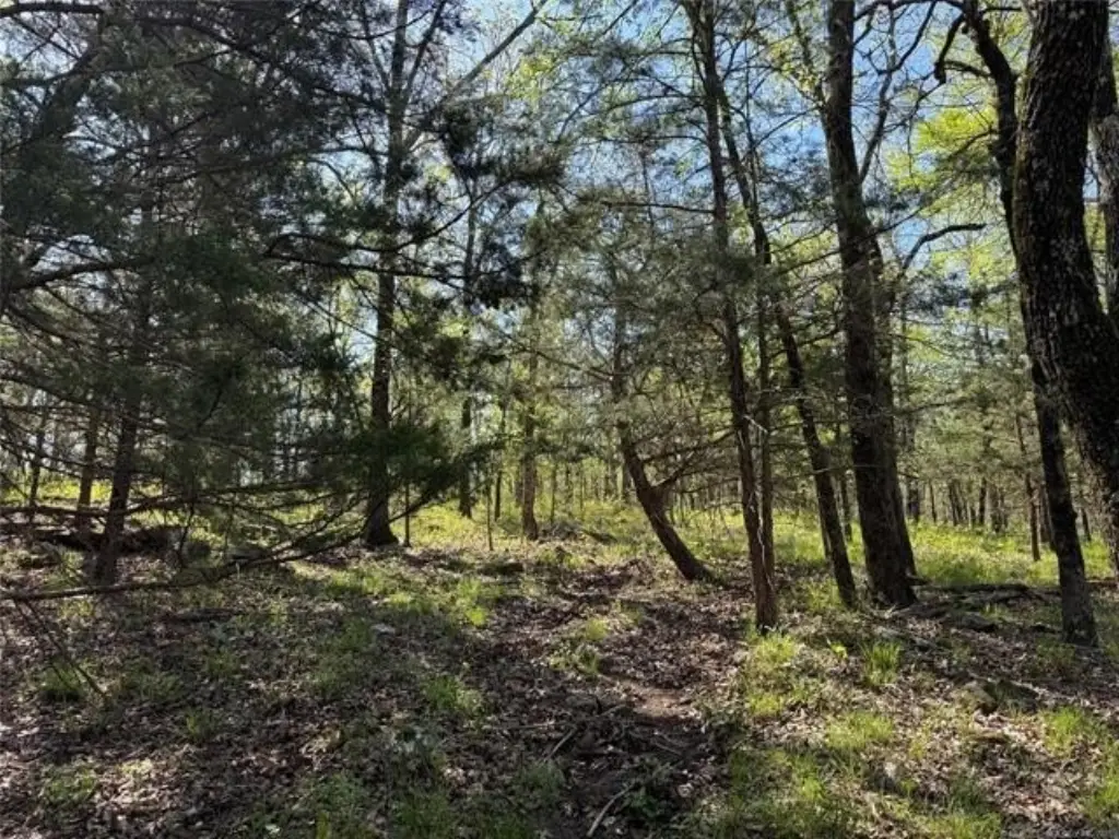
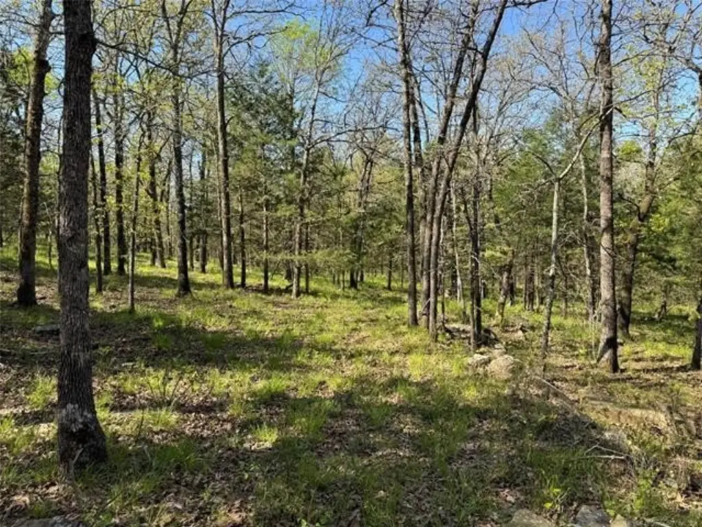
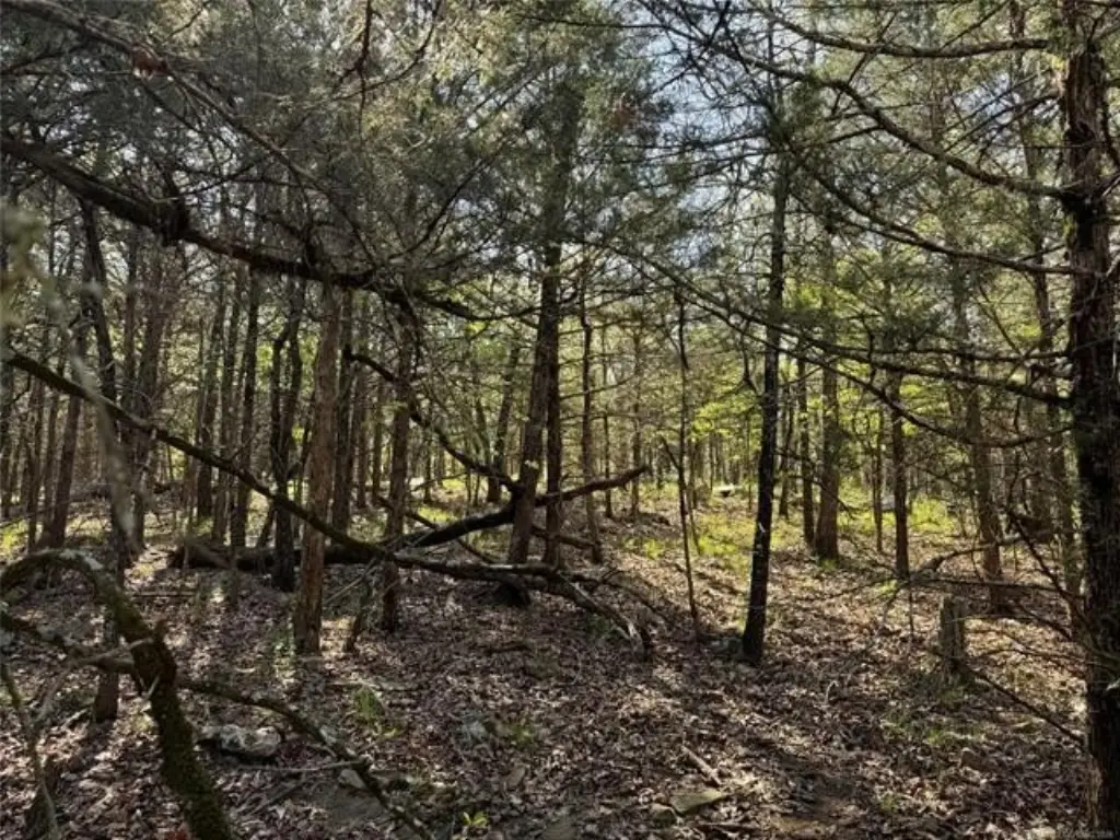
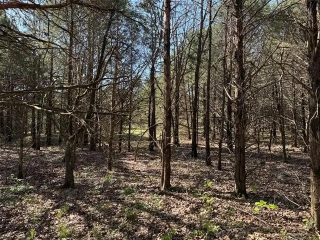
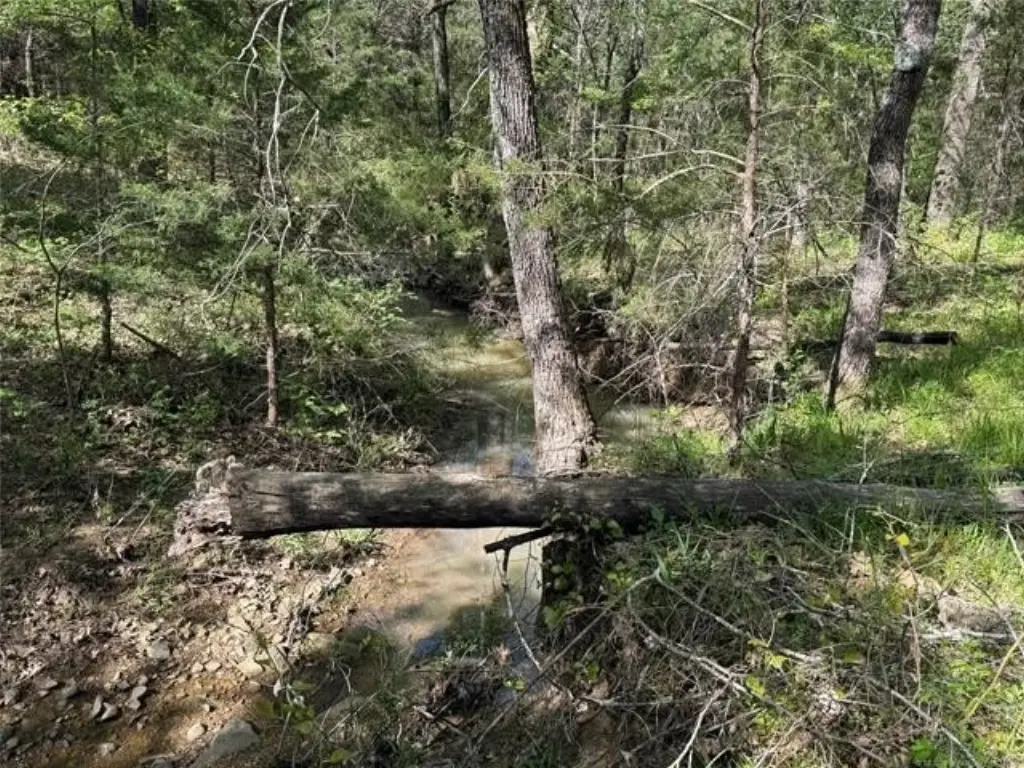
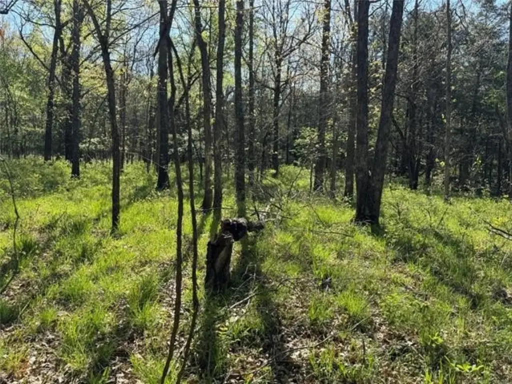
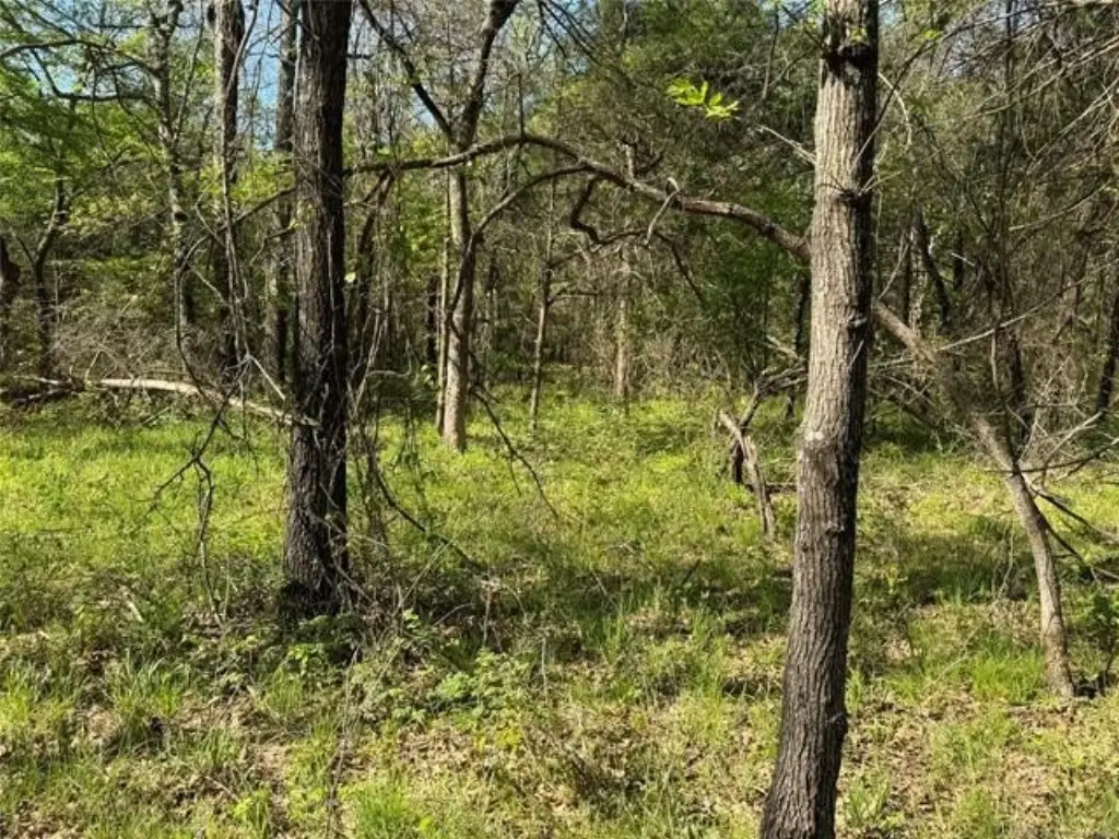
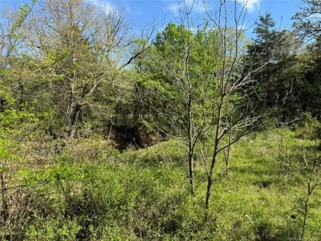
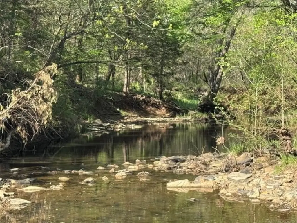
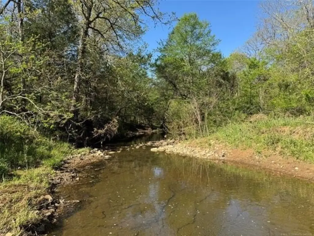
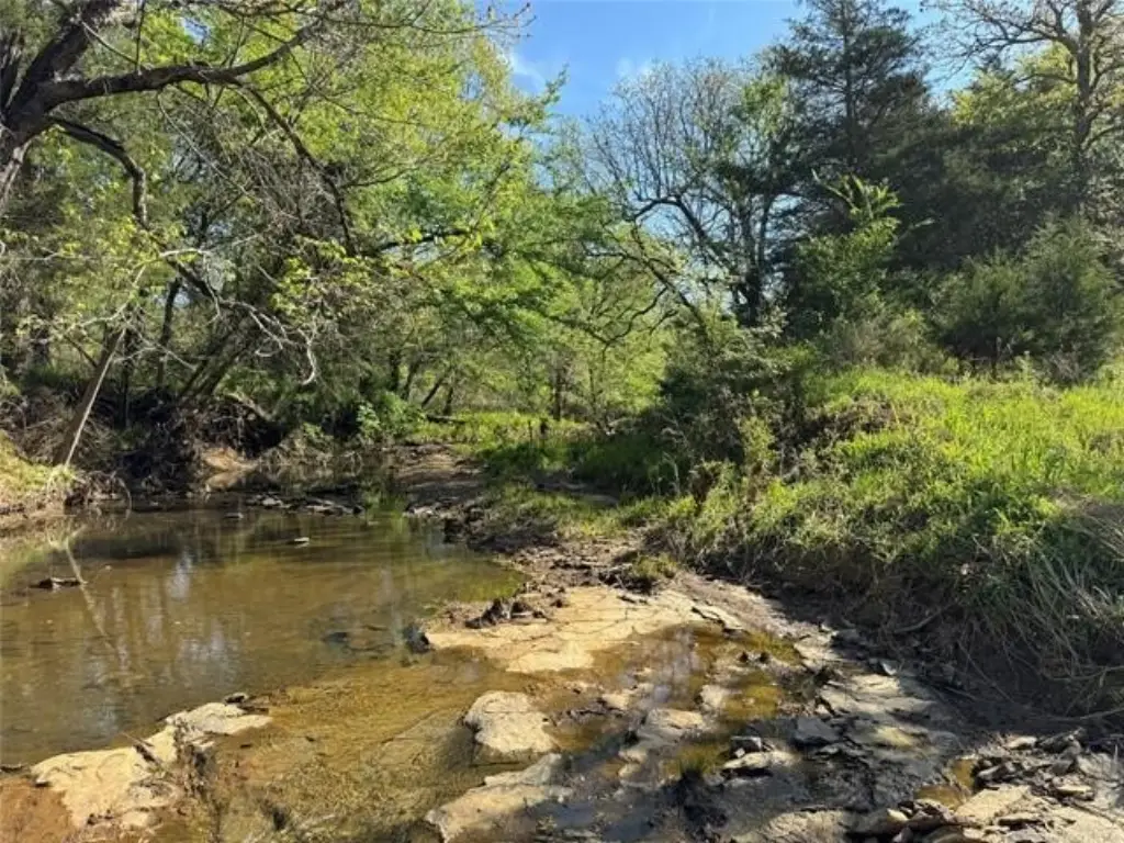
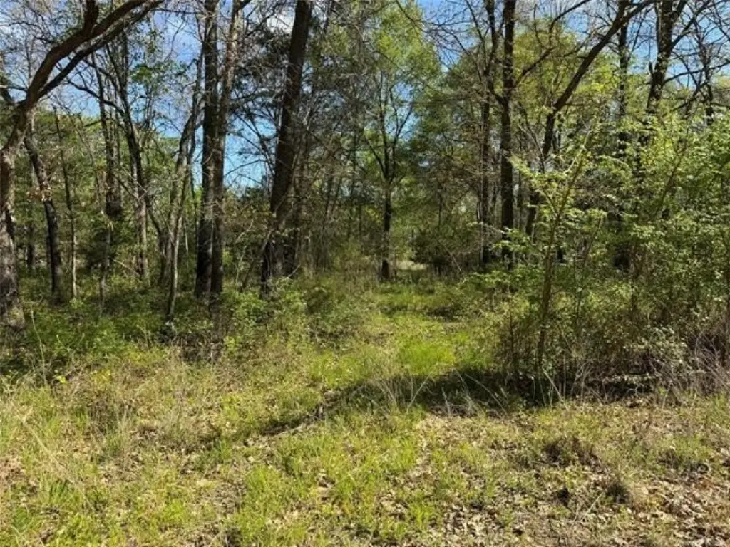
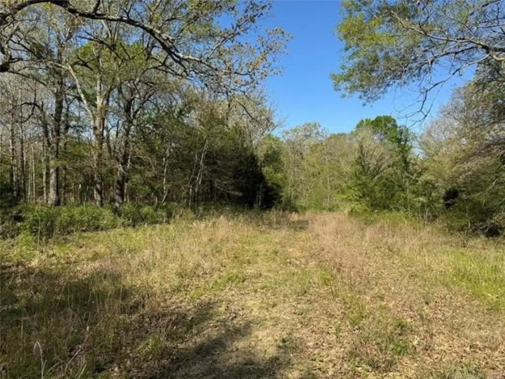
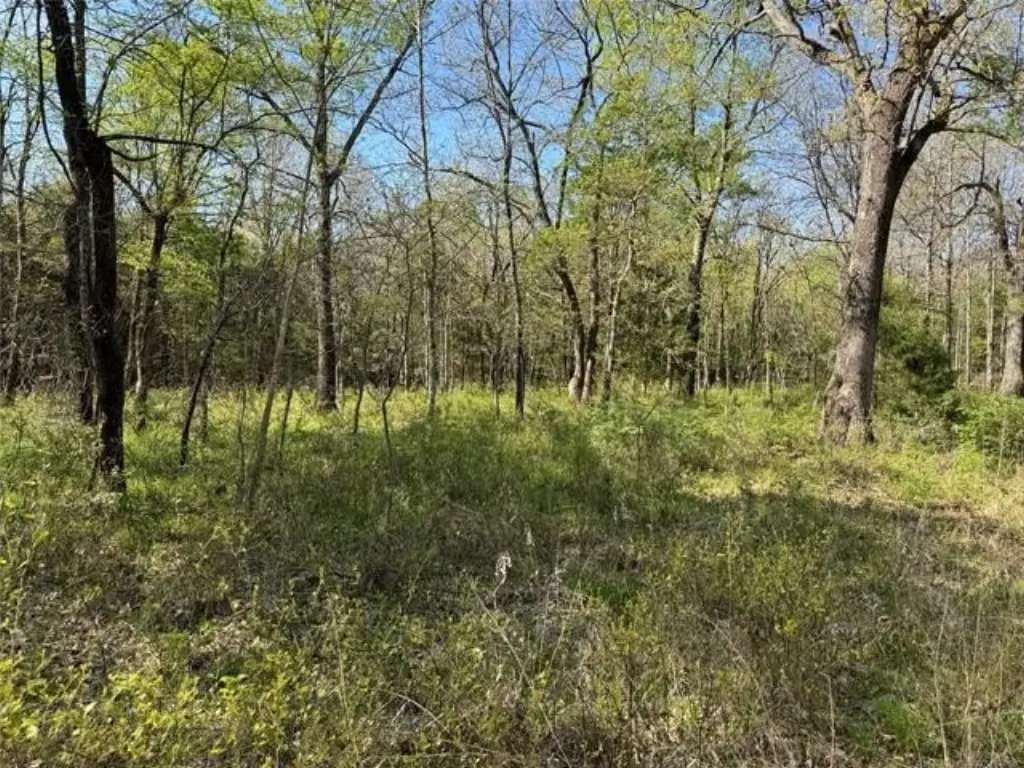
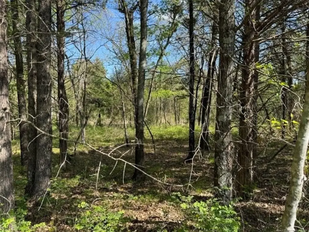
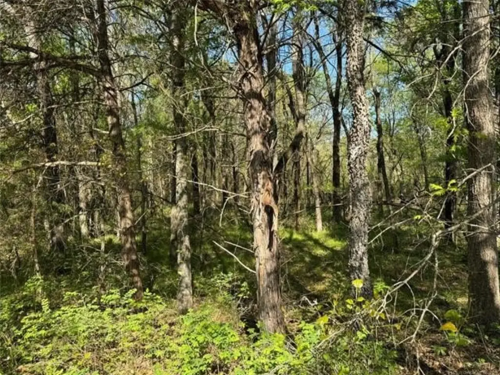
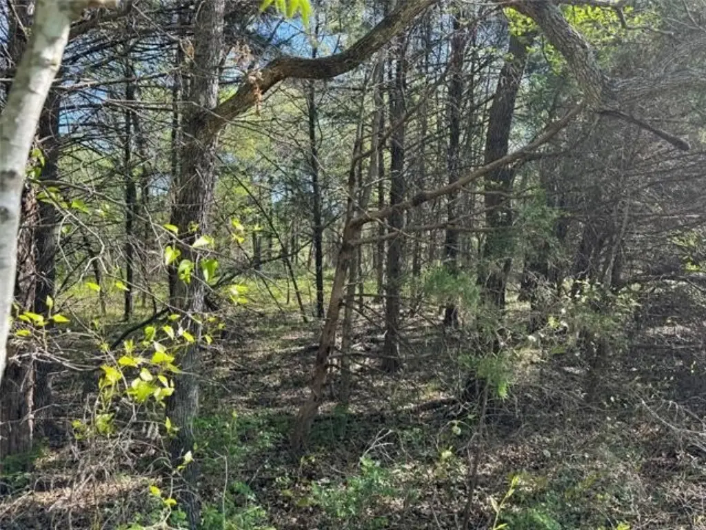
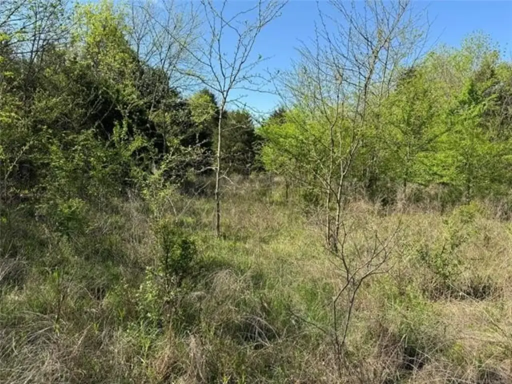
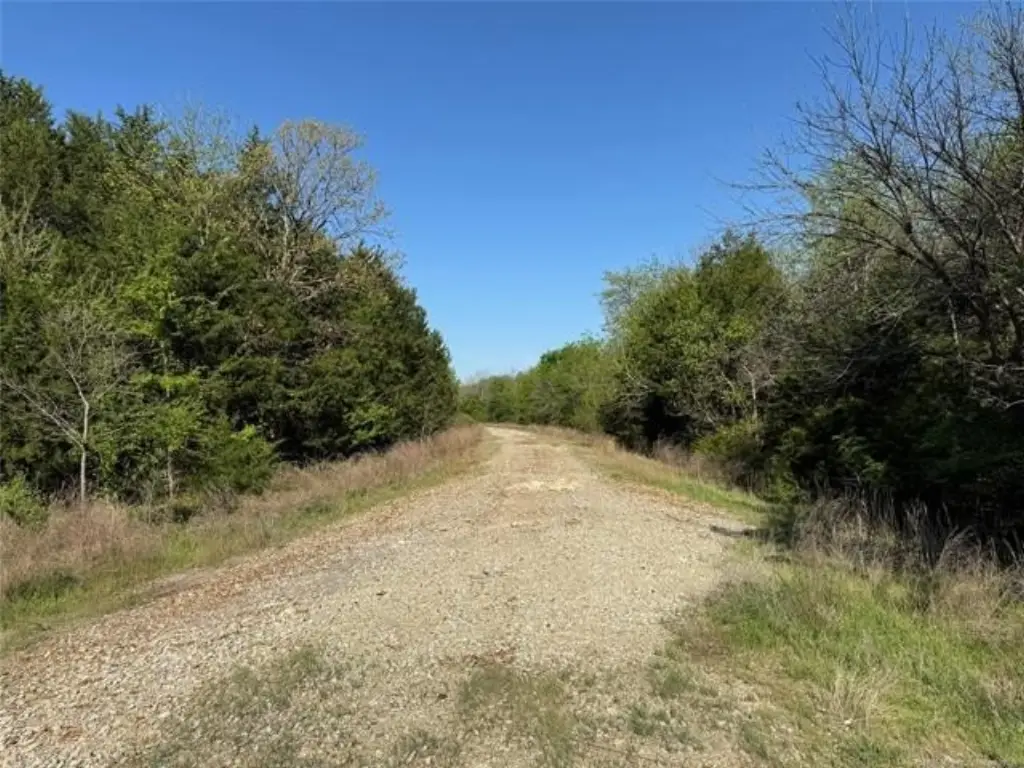
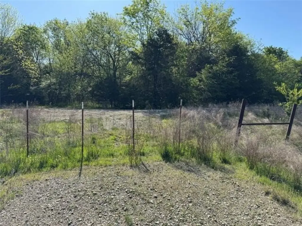
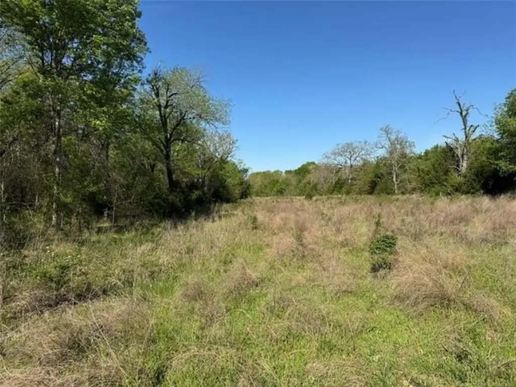
HighLights
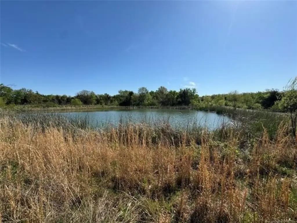
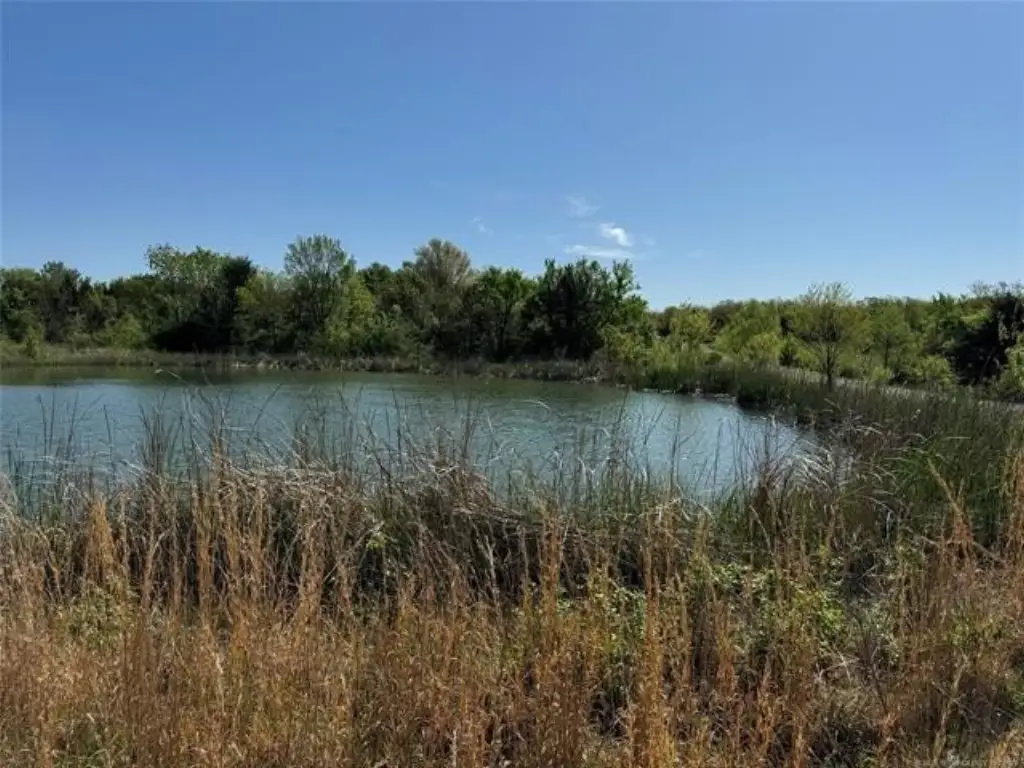
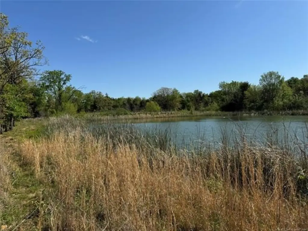
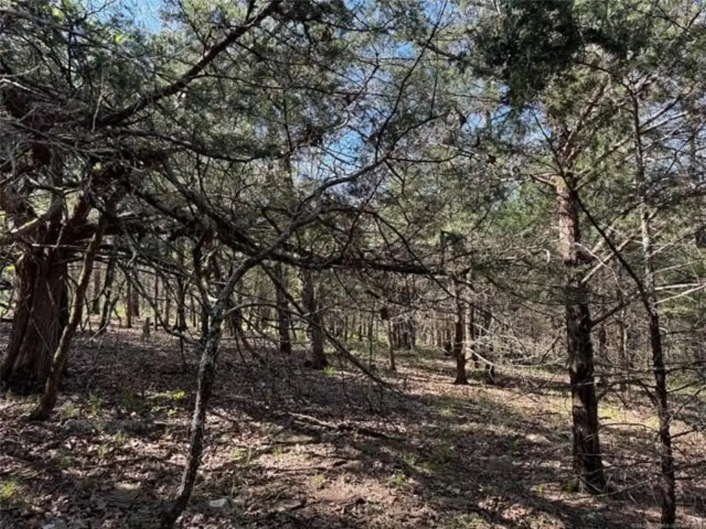
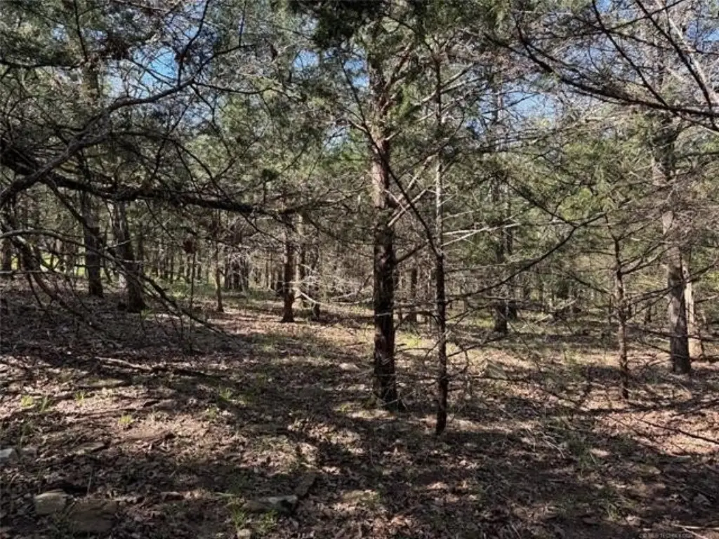
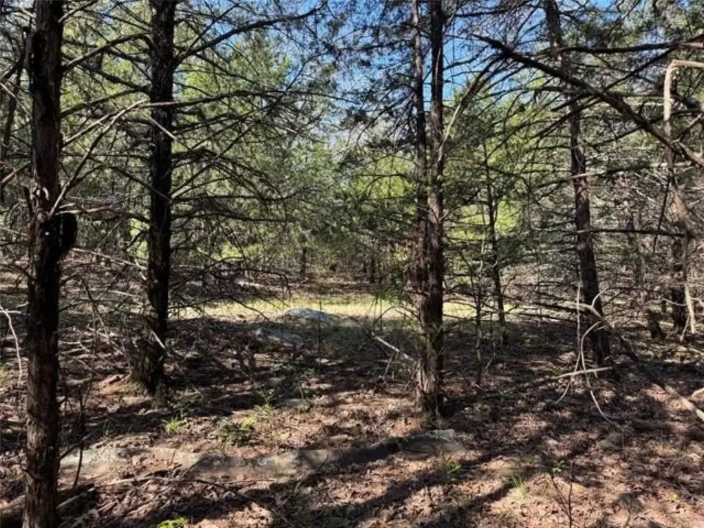
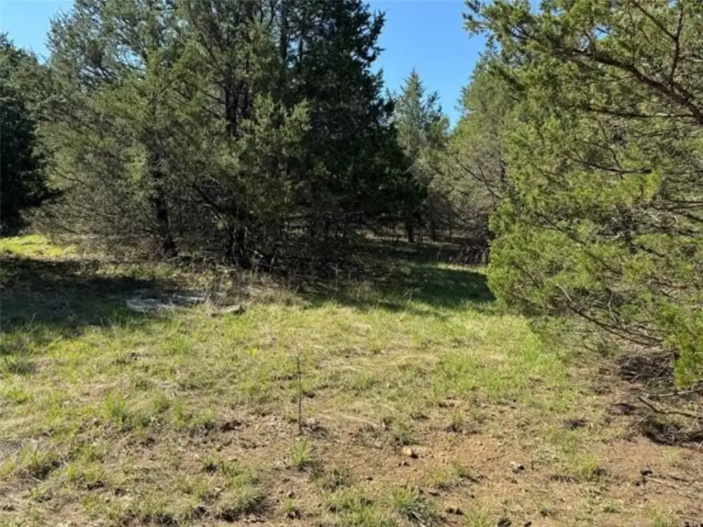
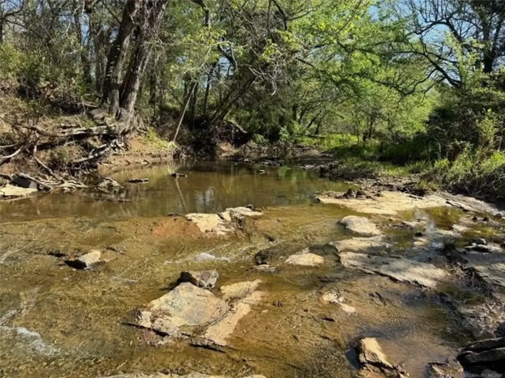
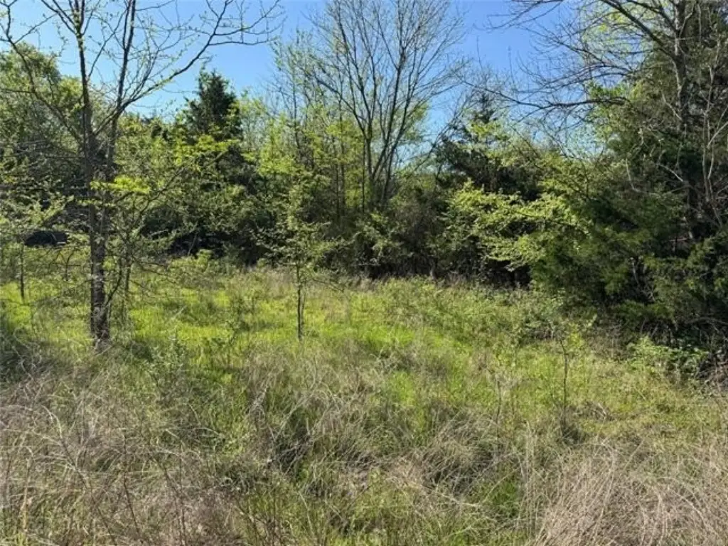
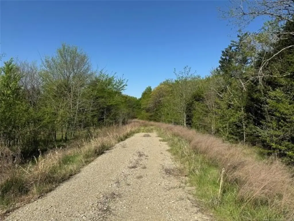
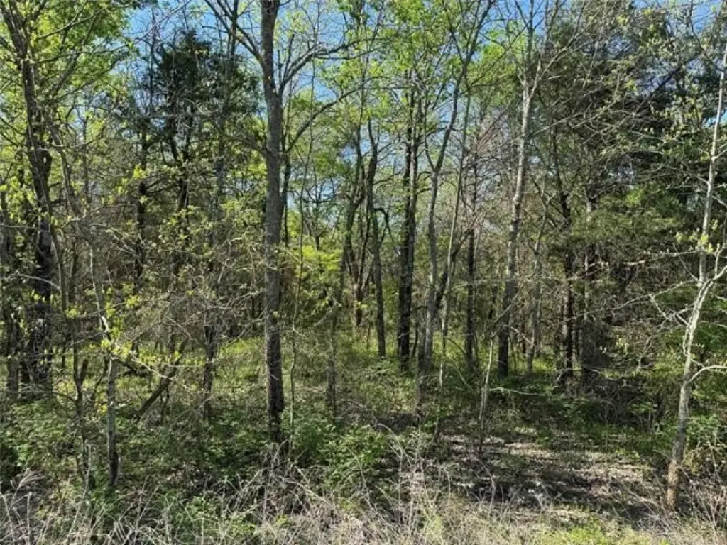
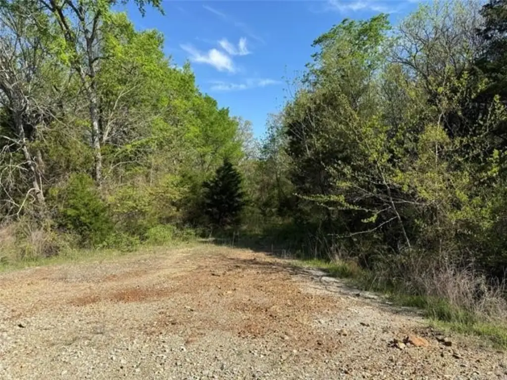
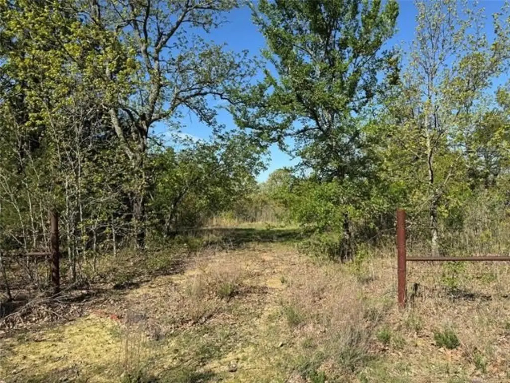
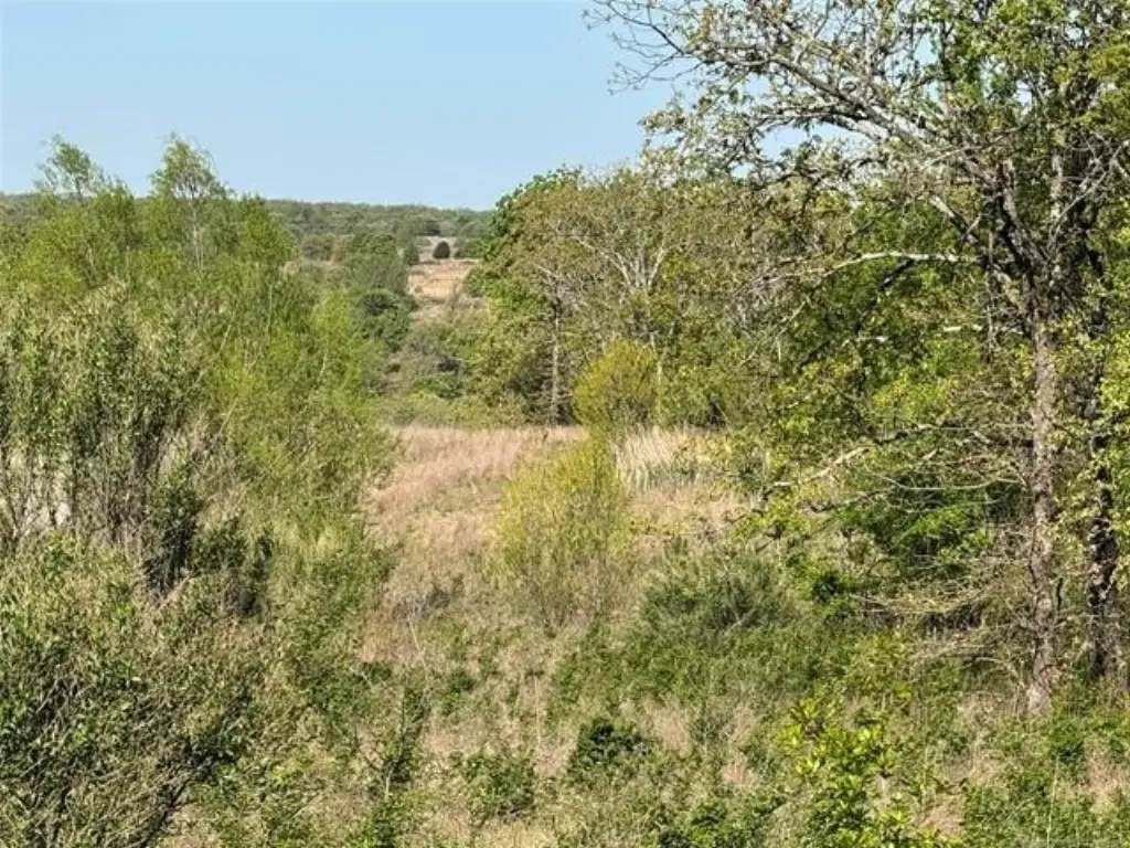
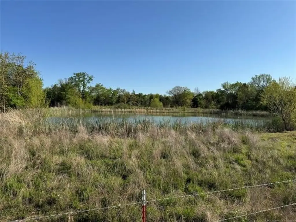
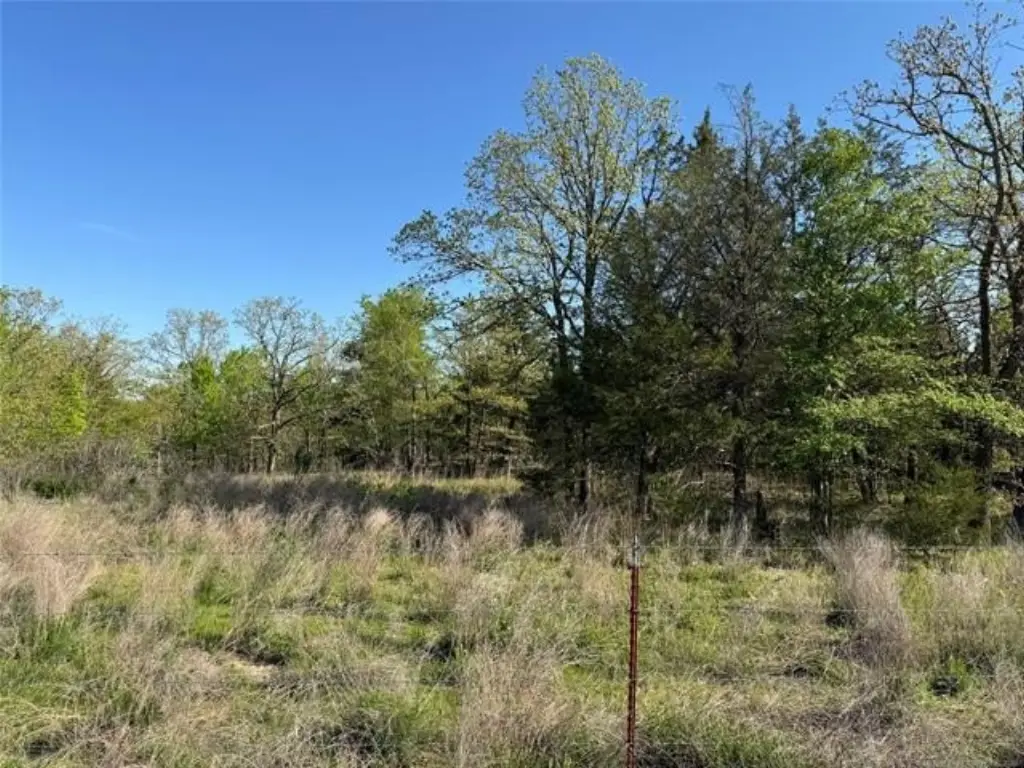
- 80.11 acres (recent survey on file, delivered to county assessor) with a pond
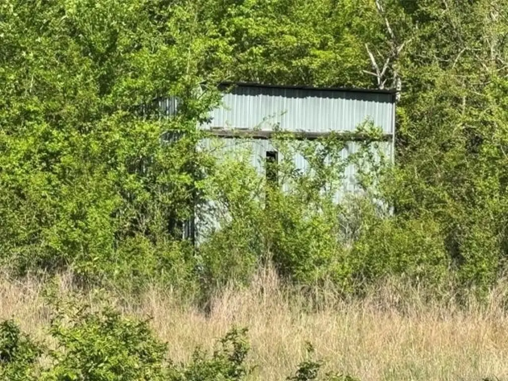
- No improvements included other than the pond
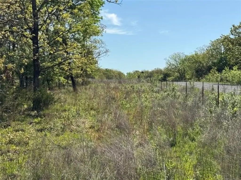
- Good barbed wire fence on two sides and gated on one side
- Abundant wildlife including deer, turkey, and small game
- Located on E. Blue Creek Rd, just 15–20 minutes from Krebs and McAlester
- Minutes from Lake Eufaula’s Elm Point and the James Collins Wildlife Management Area
Overview
The land is located on E Blue Creek Road in McAlester, Oklahoma, Pittsburg County. The listing notes it is approximately 15 to 20 minutes from Krebs and McAlester. It is also described as being minutes from Lake Eufaula’s Elm Point and the James Collins Wildlife Management Area, supporting an outdoor, wildlife-focused land use context.
For buyers seeking a private property for hunting and outdoor recreation, the combination of acreage, the pond, and the fenced and gated configuration supports practical use for managing access and seasonal activities. The listing includes a recent survey on file and indicates the acreage has been delivered to the county assessor. Zoning is listed as agr, which aligns with keeping the property in agricultural land use while supporting recreational hunting intentions.
Current Use by Public Records
Map
- City
- McAlester
- County
- Pittsburg
- State
- Oklahoma
- Longitude
- -95.60428
- Latitude
- 35.032269