Commercial Development
TBD E Baker Road Pilot Point, TX 76258

TBD E Baker Road, Pilot Point, TX, 76258
$8,799,850
For Sale
$8,799,850
LAND - Pilot Point, TX
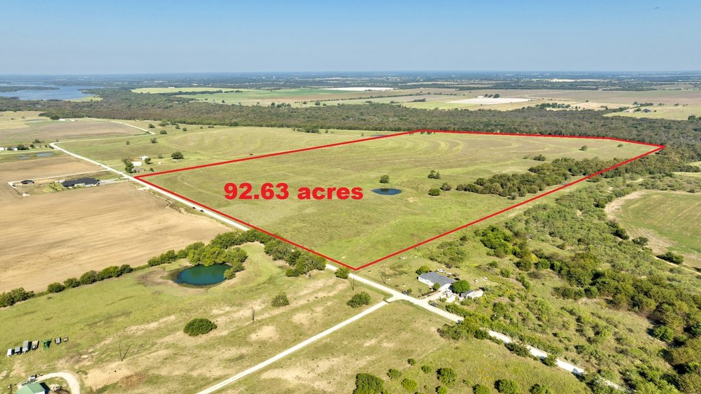
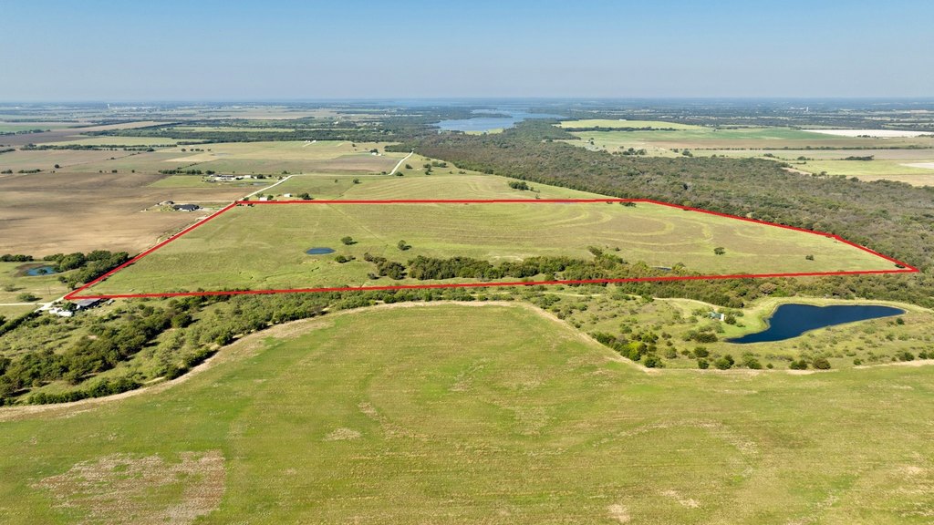
Lot Size92.63 Acres
Days on Market277
Property Features for TBD E Baker Road
General Information
- Property type
- Land
- Property subtype
- Other
- Parking features
- Boat, RV
- Standard status
- Active
- APN
- 134832
- Lot size
- 92.63 Acres
Taxes and HOA fees
- Tax Description
- G-0073 BAKER L D A-G0073, ACRES 92.63
- Tax Annual Amount
- 58
Utilities
- Heating system
- Central, Electric (Heating)
- Cooling system
- Electric, Central Air
Building Details
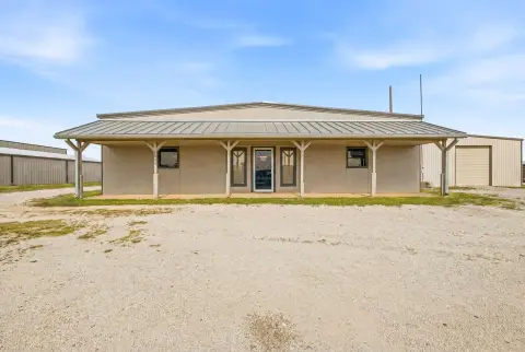
- Additional Structures
- Barn(s)
Listing Agency
Ready Real Estate LLC
(817) 569-8200
Fort Worth, TX
Listed by
Michael Sanders · License #0639834
(866) 557-3239
Added: Oct 15, 2025 Checked: Jul 18 at 12:06 am
MLS# 21086380
Listing URL
Copyright © 2026 North Texas Real Estate Information Systems, Inc. All rights reserved. All information provided by the listing agent/broker is deemed reliable but is not guaranteed and should be independently verified.
Investment Insights
Based on property information with market context.
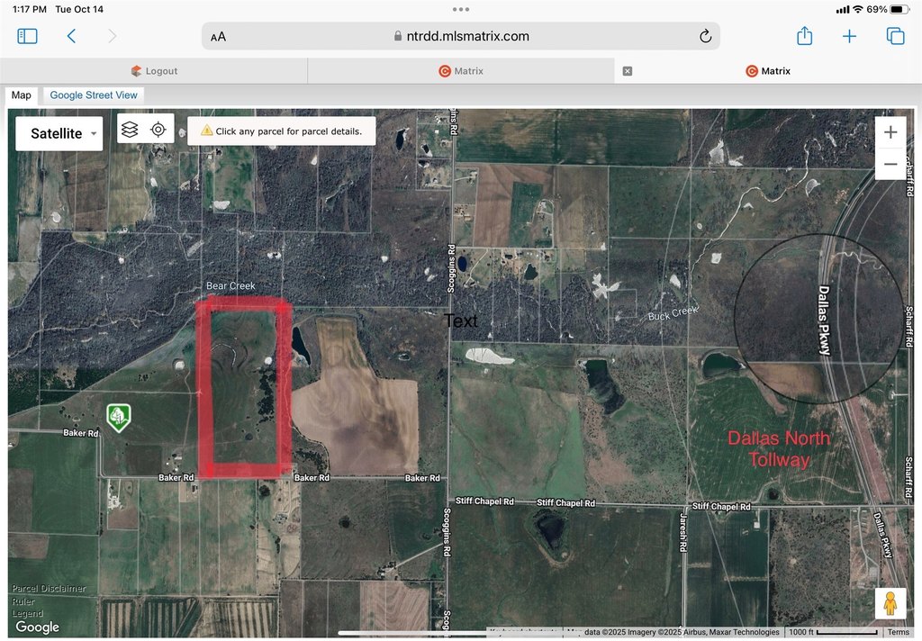
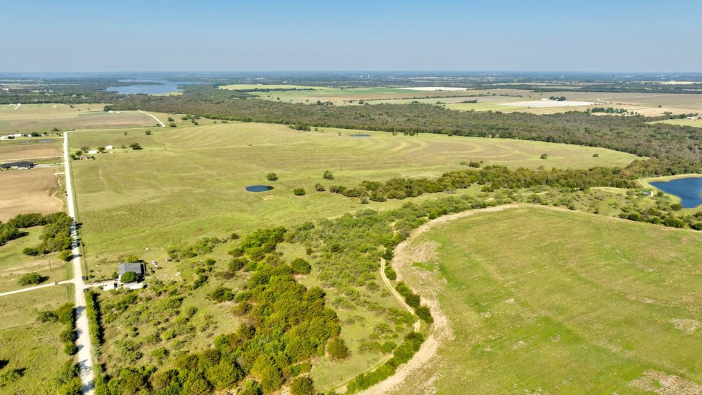
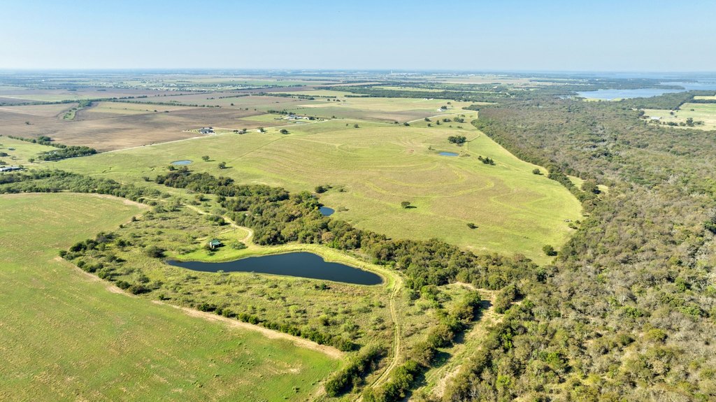
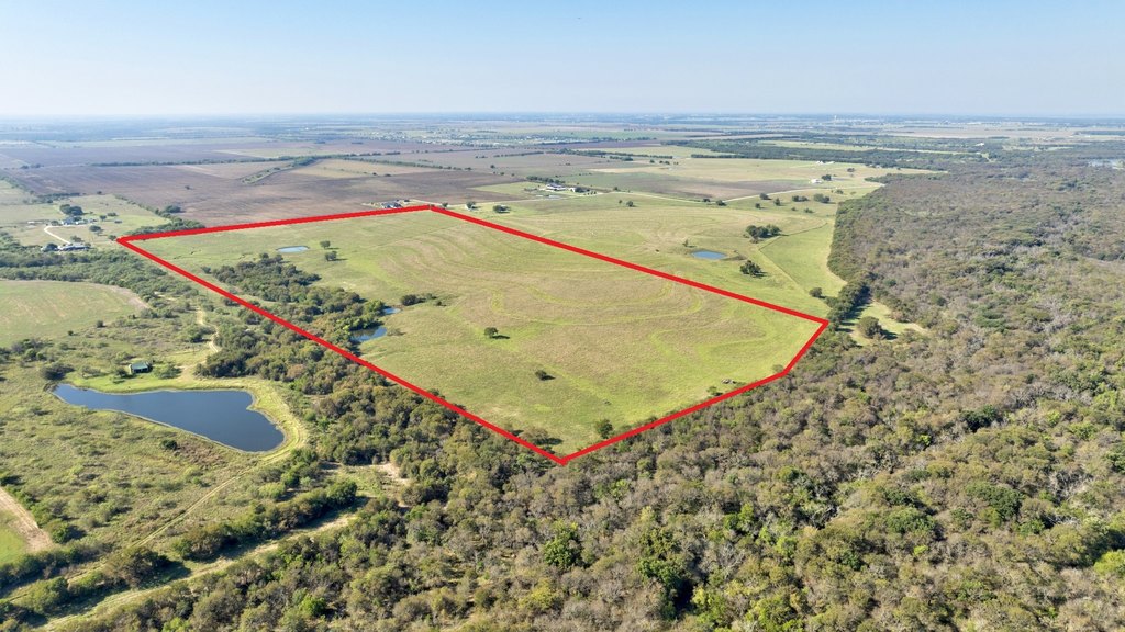
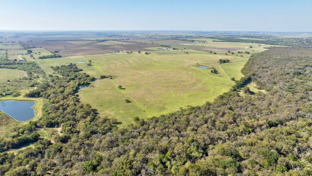
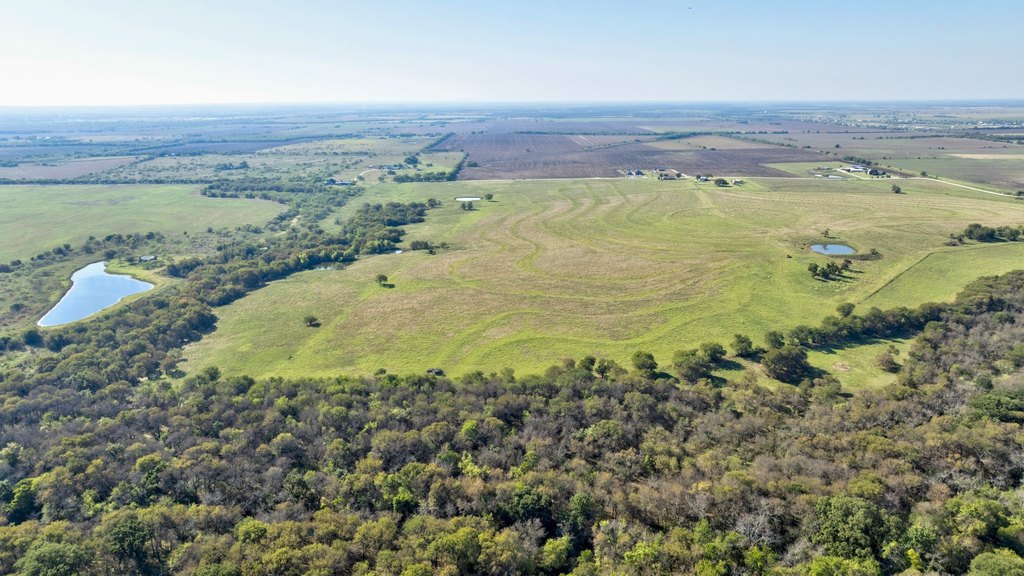
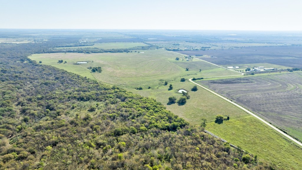
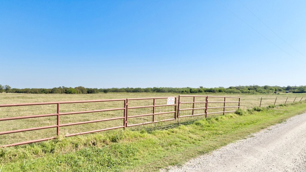
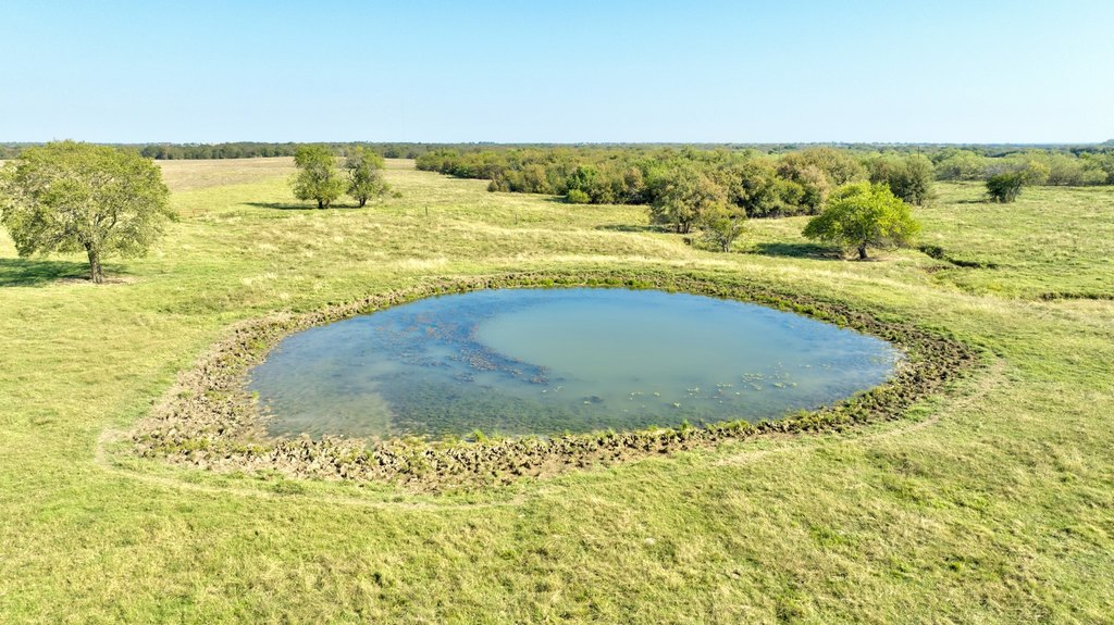
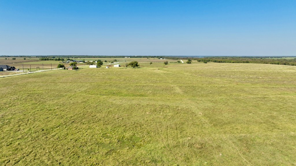
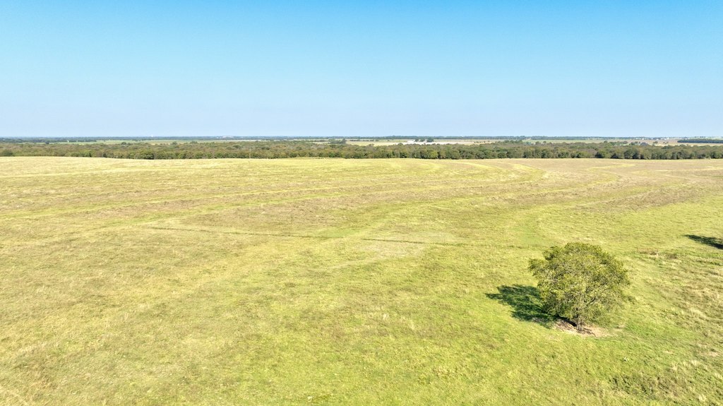
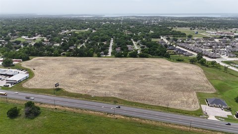
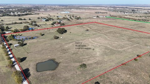
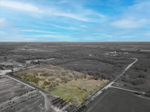
This offering presents a 92.63-acre Ag-exempt land tract positioned for future development. The property features an elevated center intended to provide superior drainage across four directions, which may translate to reduced grading needs. Current coastal Bermuda pastures are maintained and support continued agricultural use while preserving the tax advantages associated with Ag-exempt status. A portion of the western boundary includes land owned by the U.S. Army Corps of Engineers, adding to the tract’s distinct footprint. The site also includes approximately 1,361 feet of frontage along Baker Road.
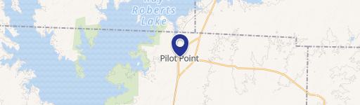
The tract is located in Grayson County, Texas, less than 2 miles from the projected Dallas North Tollway expansion, placing it in an area expected to benefit from improved connectivity. It is also described as being about 10 minutes from Hwy 377 and approximately 25 minutes from Prosper and Frisco.
For investors and developers, the combination of a large, contiguous parcel, road frontage, and drainage-oriented topography can be valuable when planning commercial, industrial, or residential projects. The maintained pasture condition supports flexibility between holding for growth and continuing agricultural operations as decisions are finalized.
Key Highlights
- 92.63‑acre Ag‑exempt tract in Grayson County, TX
- Approximately 1,361 ft of frontage along Baker Road, plus partial west‑side border with U.S. Army Corps of Engineers land
- Elevated center offers drainage across all four directions, with development‑ready topography and minimal grading requirements
Property Analytics
Property Profile
Location Intelligence
Current Use by Public Records
Agricultural land / Farmland
Similar For Sale Nearby
FAQs
What type of property is this?
Agricultural land / Farmland - A 92.63-acre Ag-exempt tract with strong drainage, long road frontage, and growth-driven development potential.
Where is this agricultural land / farmland located?
The property is located at TBD E Baker Road Pilot Point, TX.
What is the asking price?
The asking price for this property is $8,799,850.
What are key features of this property?
This property features: 92.63‑acre Ag‑exempt tract in Grayson County, TX; Approximately 1,361 ft of frontage along Baker Road, plus partial west‑side border with U.S. Army Corps of Engineers land; Elevated center offers drainage across all four directions, with development‑ready topography and minimal grading requirements


