Recreational Land
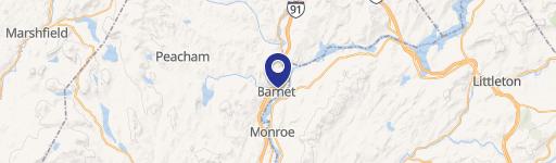
Denio Road Barnet, VT 05821
Denio Road, Barnet, VT, 05821
$279,900
For Sale
$279,900
LAND - Barnet, VT
Lot Size100.00 Acres
Days on Market291
Property Features for Denio Road
General Information
- Property type
- Land
- Property subtype
- Other
- Zoning
- Low Density
- Standard status
- Active
- Lot size
- 100.00 Acres
Taxes and HOA fees
- Tax Year
- 2025
- Tax Annual Amount
- 350
Utilities
- Sewer type
- Septic Needed
- Water source
- Well Needed
Listing Agency
Century 21 Farm & Forest
(802) 334-1200
34 Up North Dr, Derby, VT
Listed by
Nicholas Maclure
(802) 334-1200
Added: Oct 3, 2025 Checked: Jul 20 at 11:06 am
MLS# 5064267
Listing URL
Copyright © 2026 PrimeMLS. All rights reserved. All information provided by the listing agent/broker is deemed reliable but is not guaranteed and should be independently verified.
Investment Insights
Based on property information with market context.
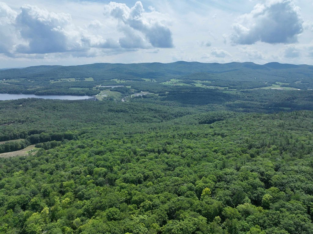
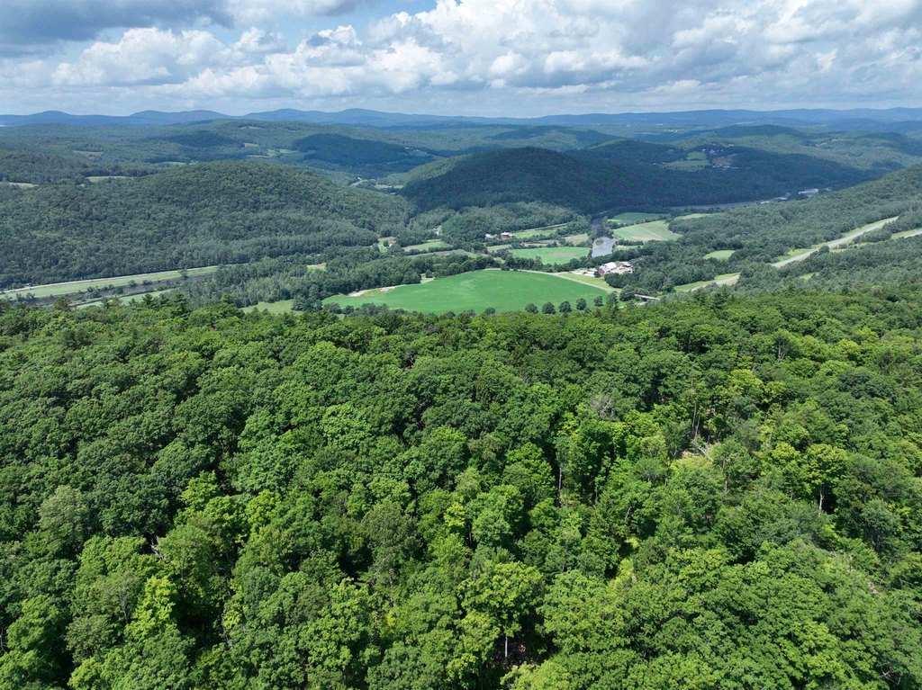
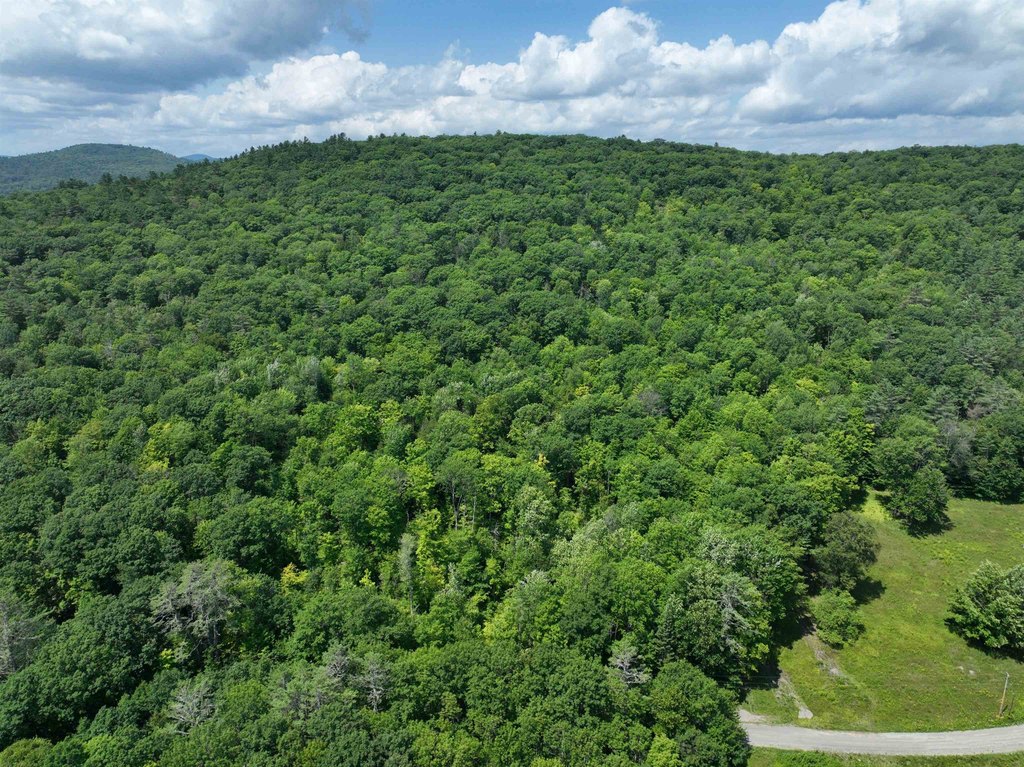
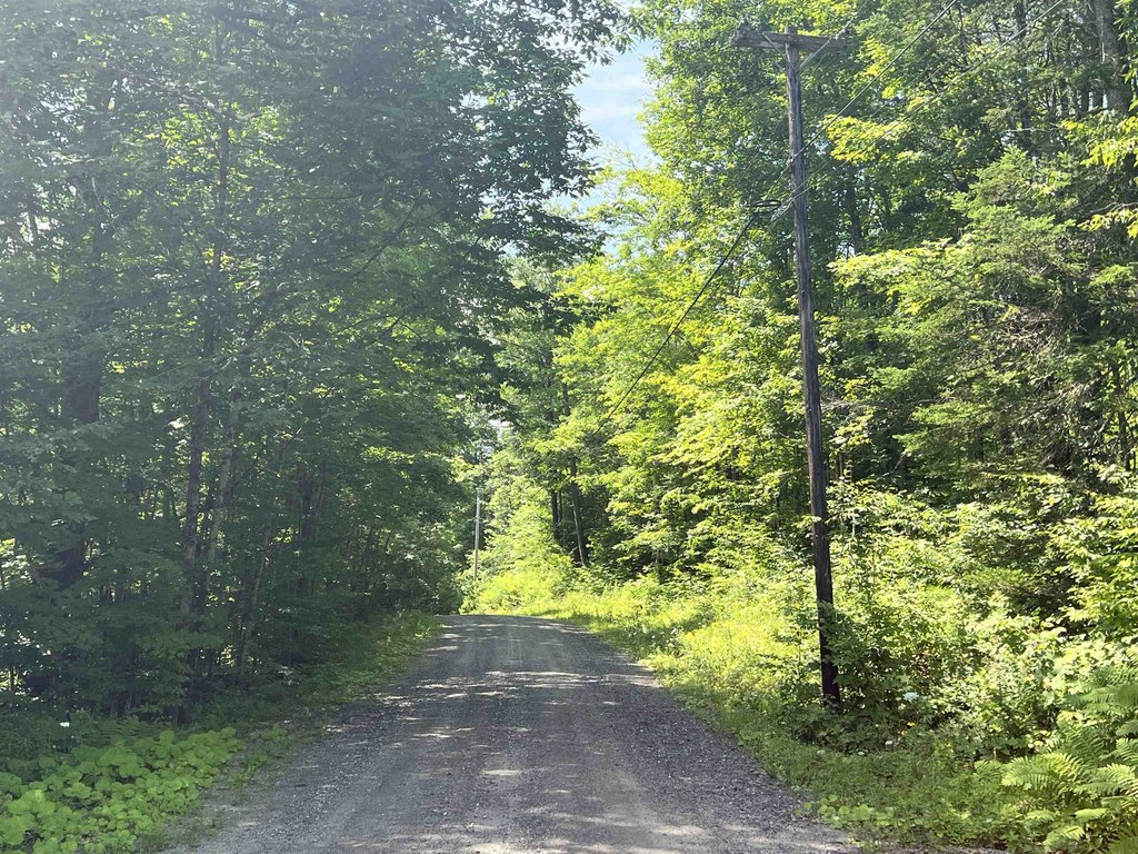
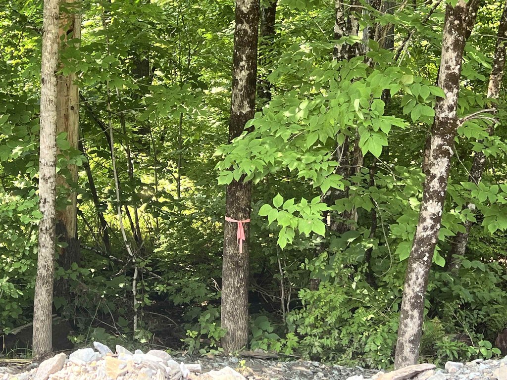
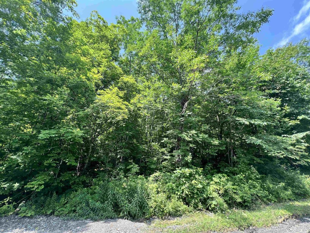
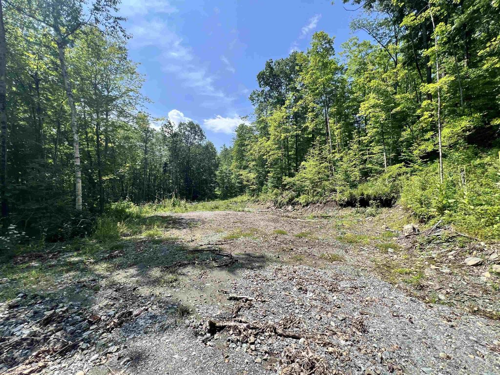
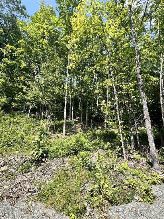
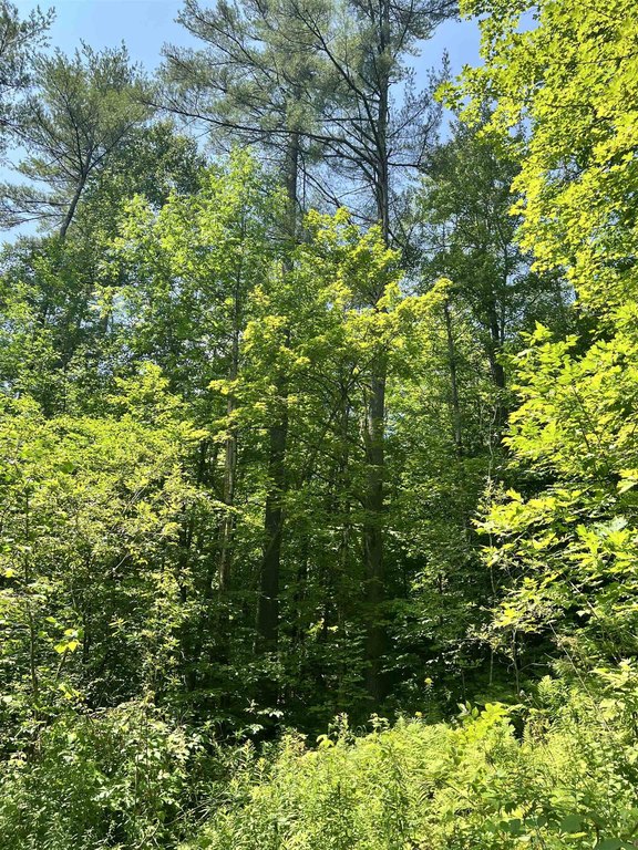
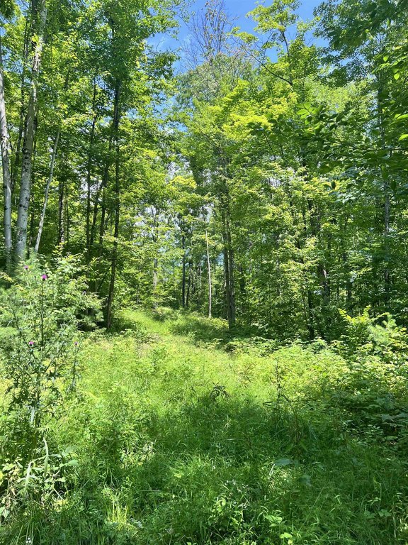
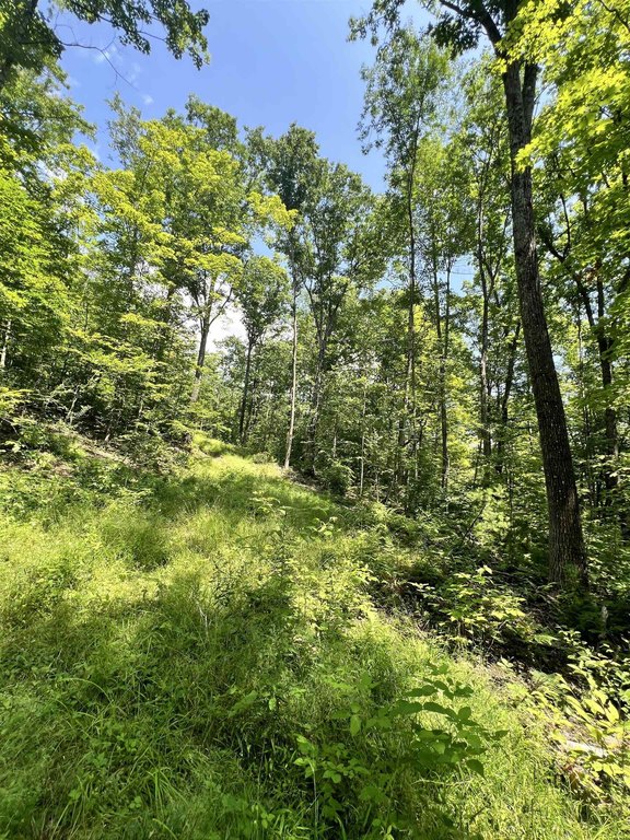
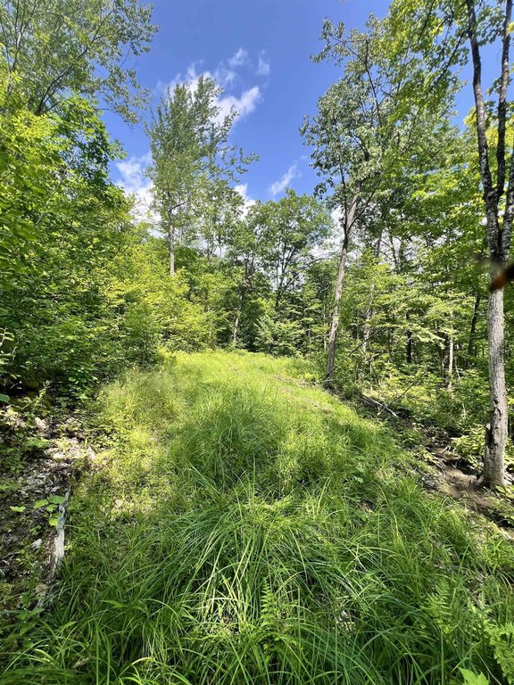
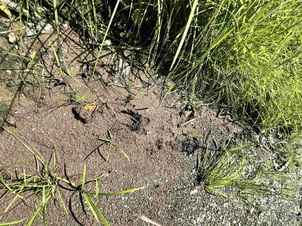
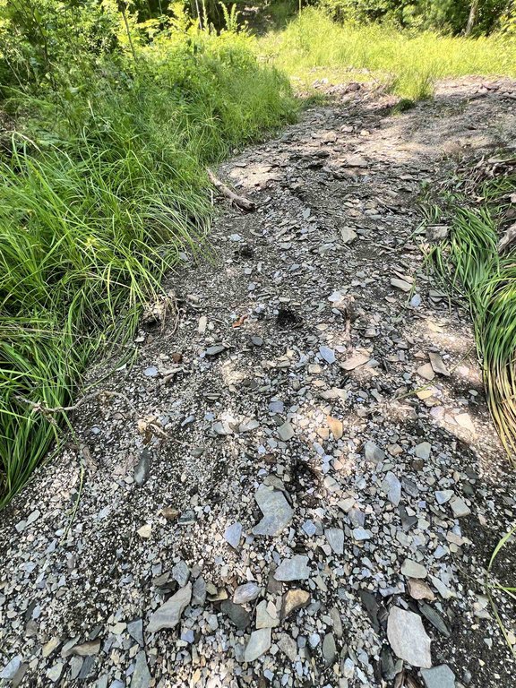
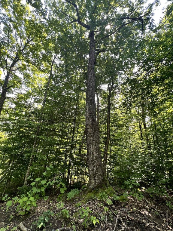
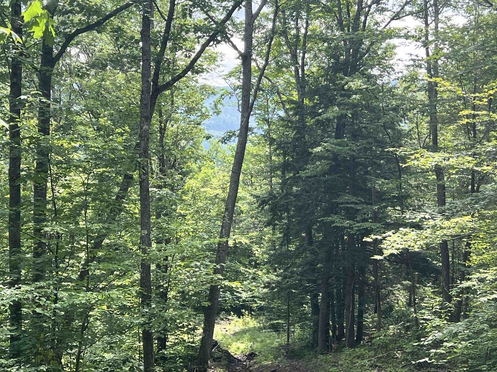
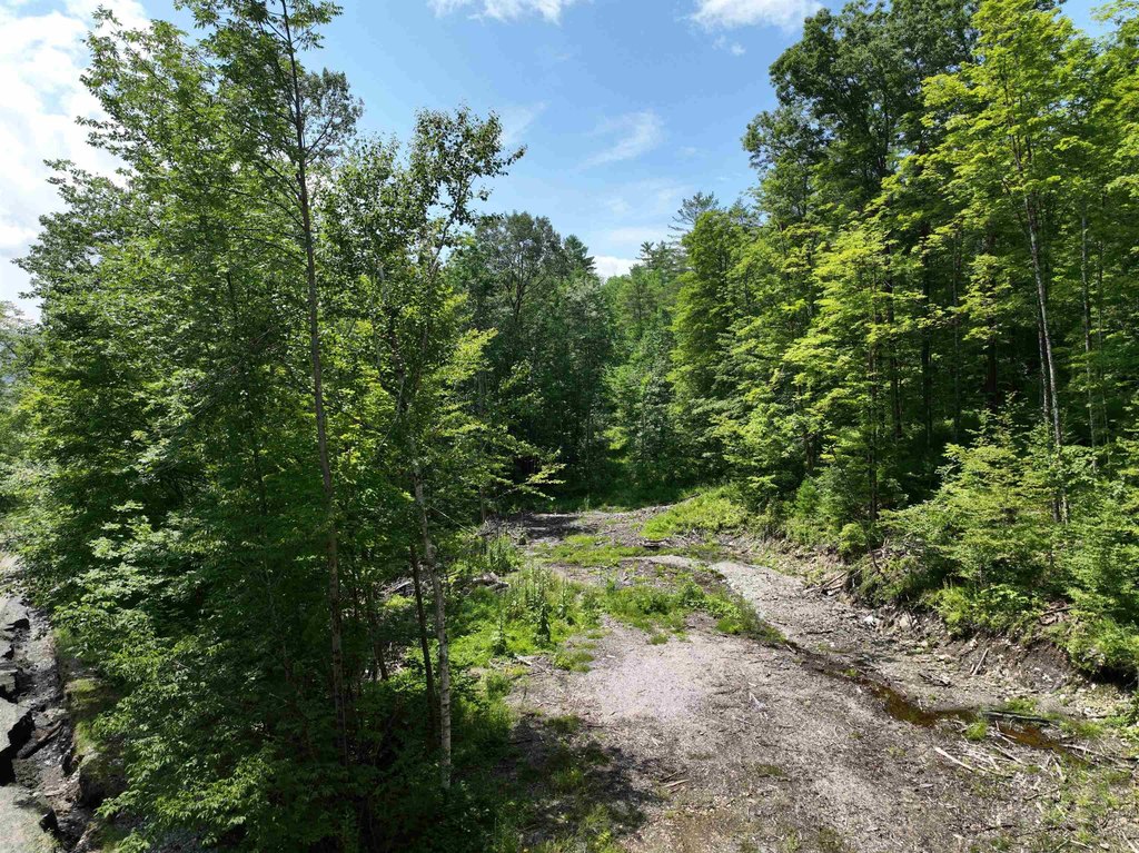
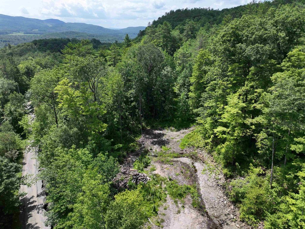
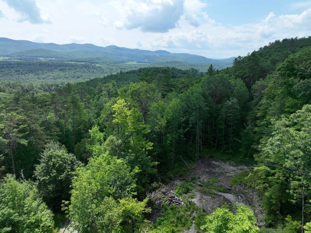
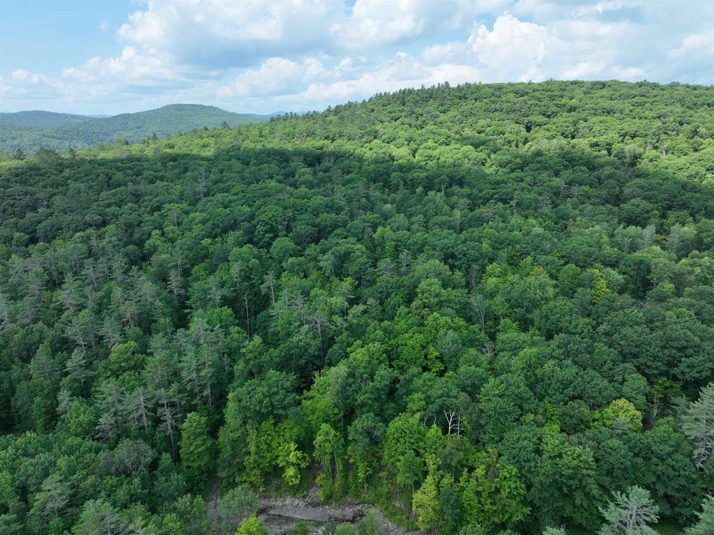
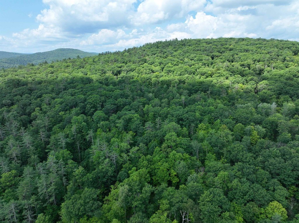
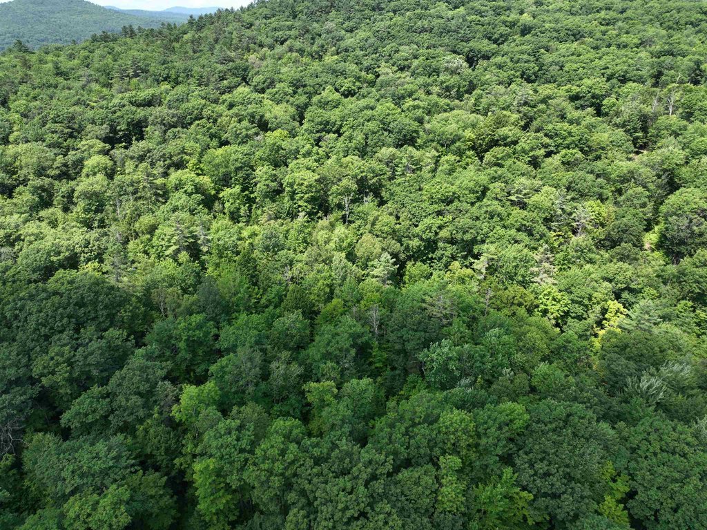
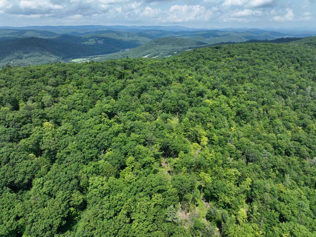
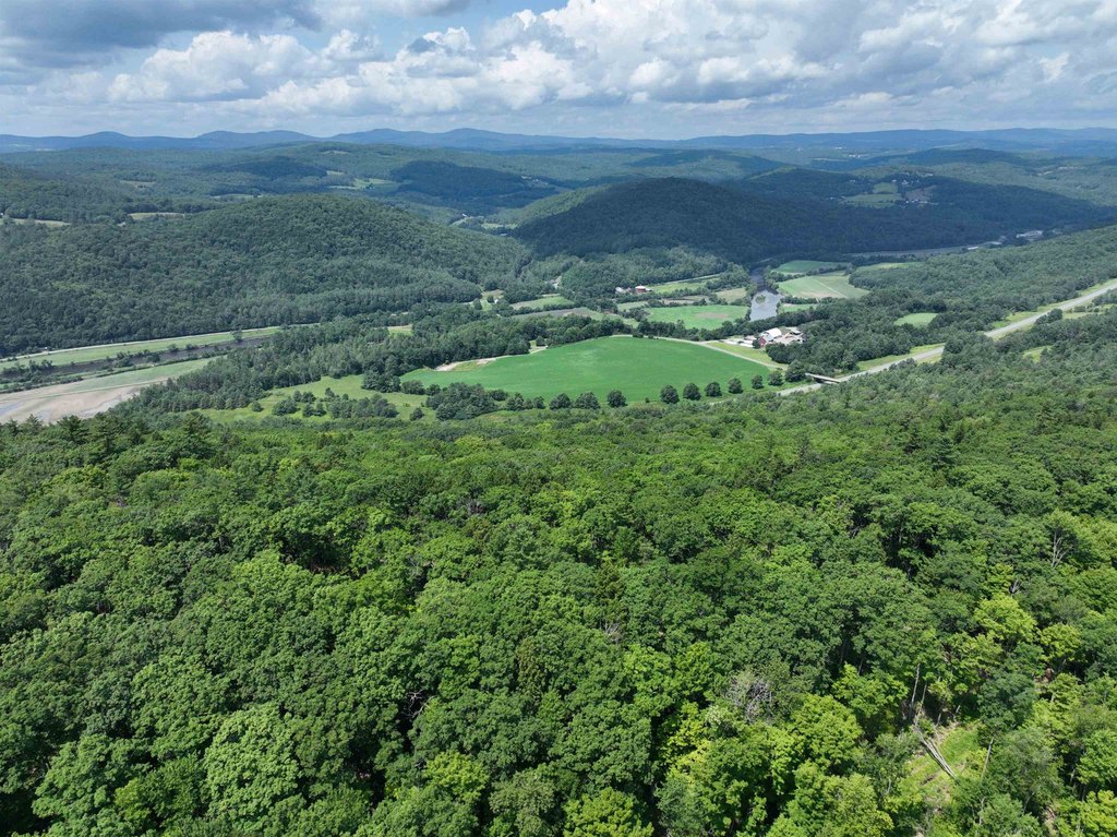
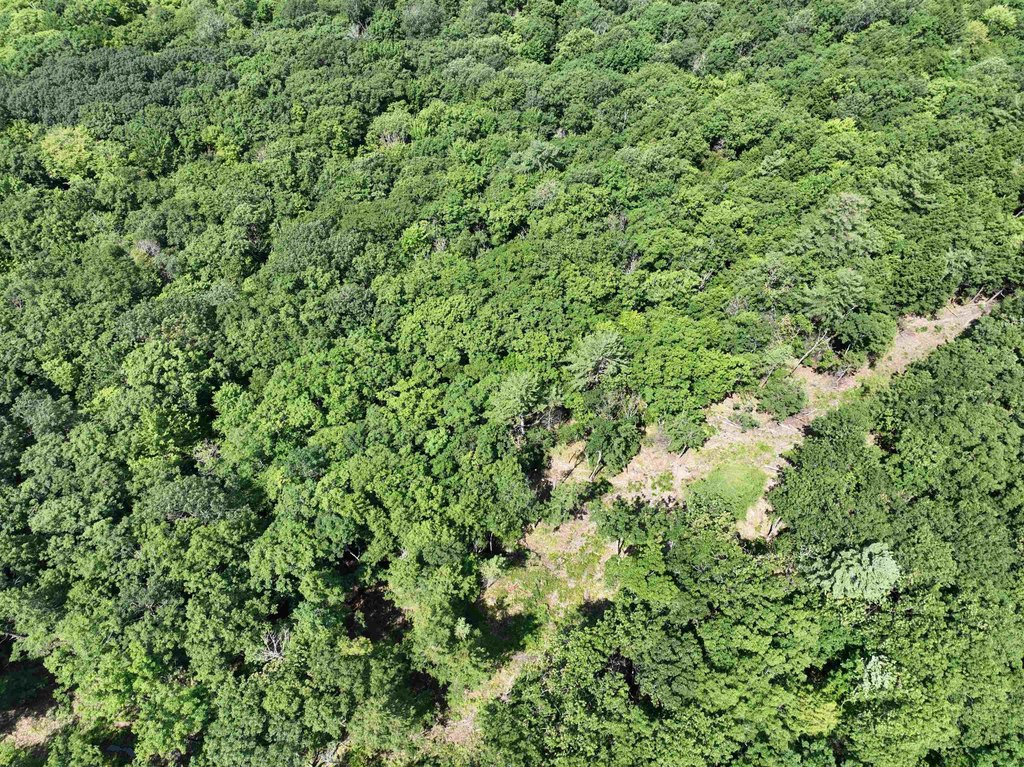
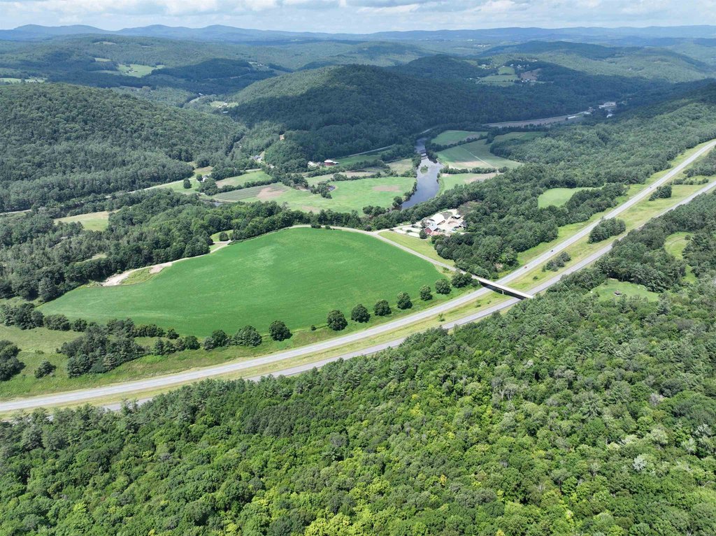
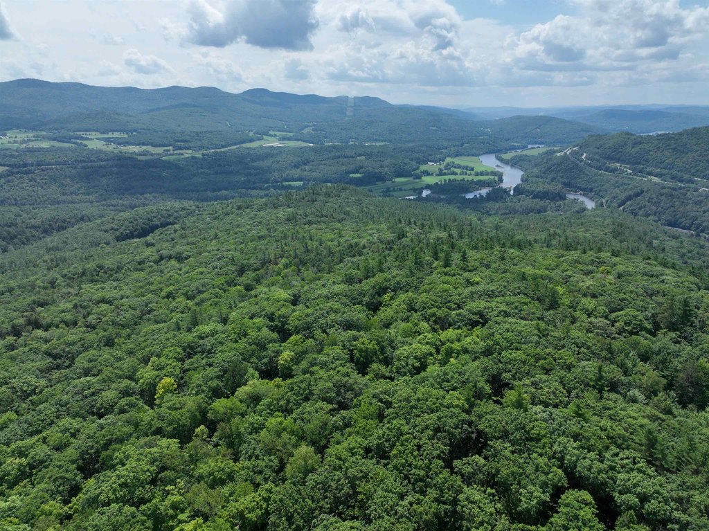
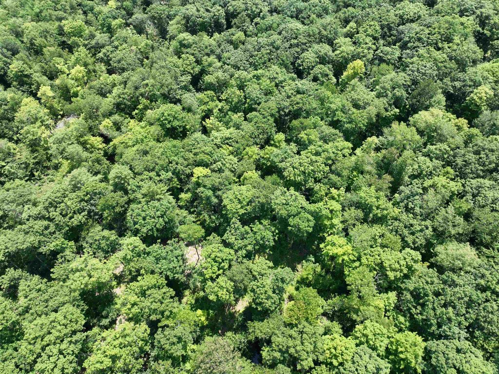
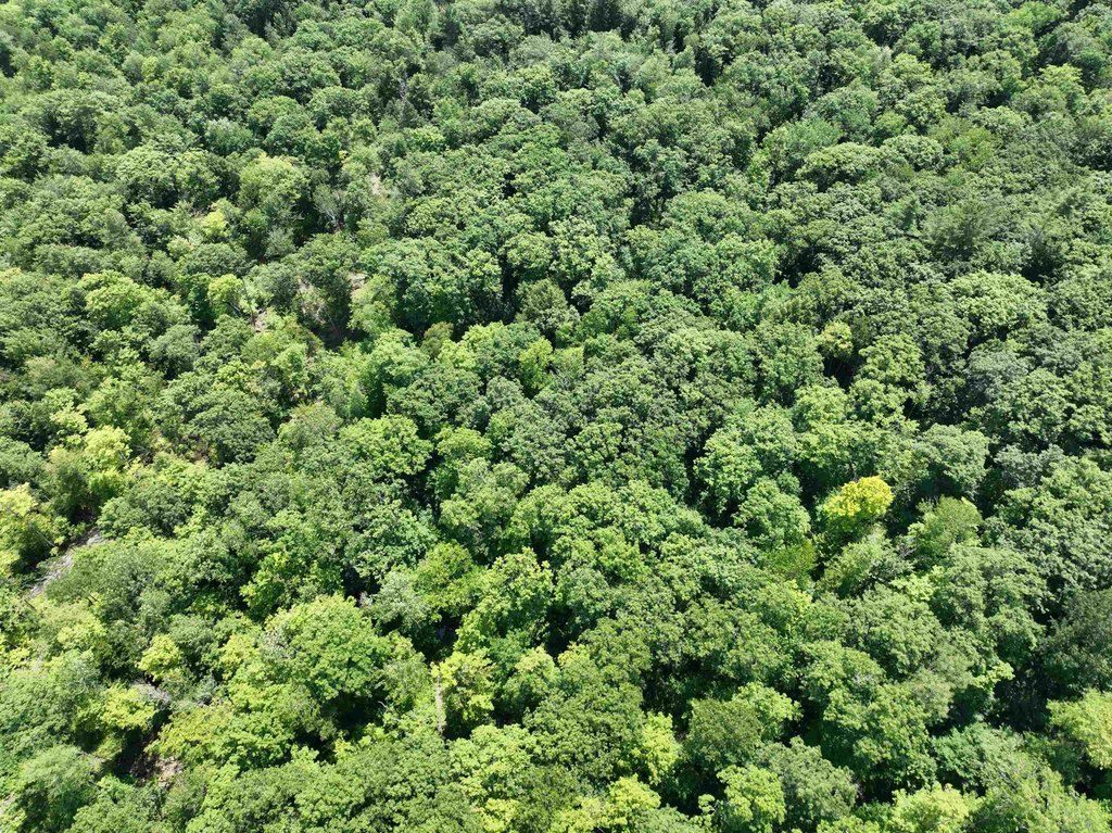
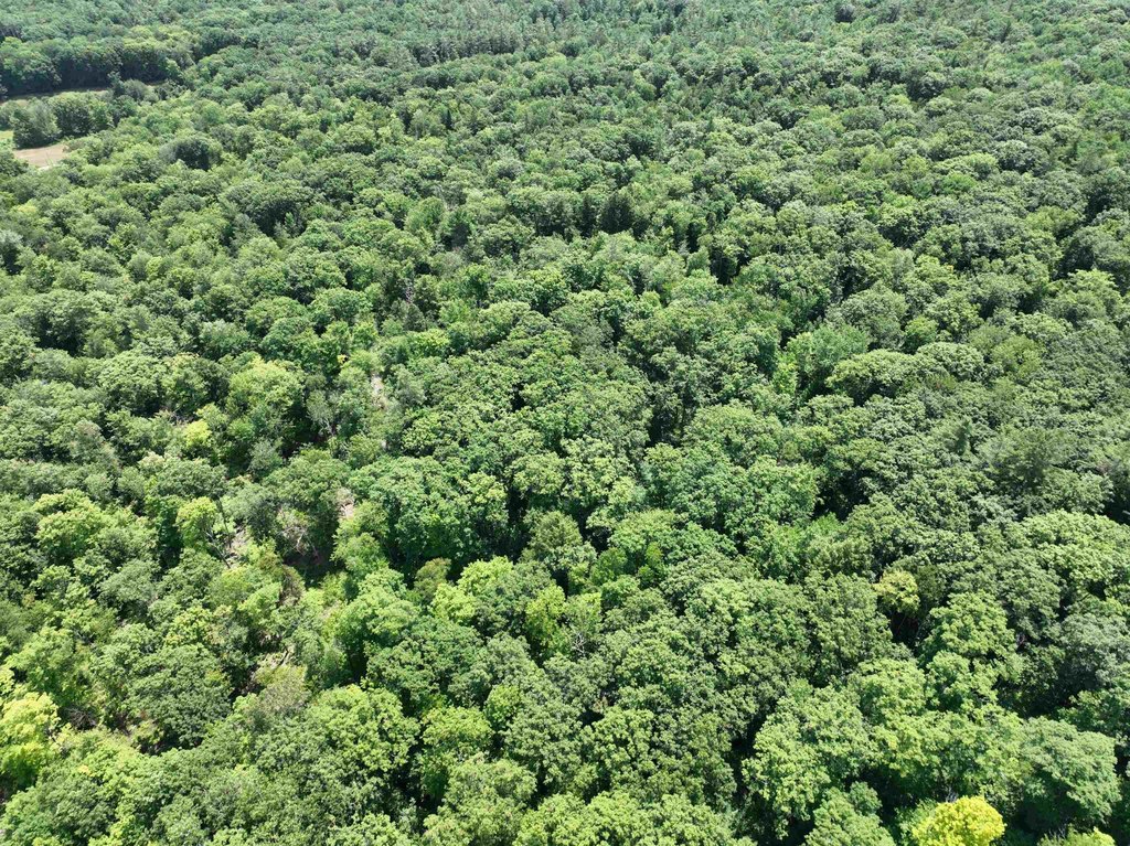
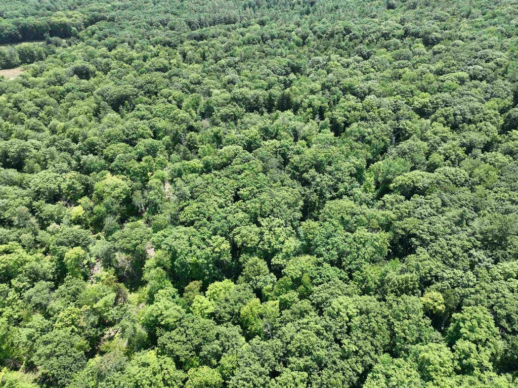
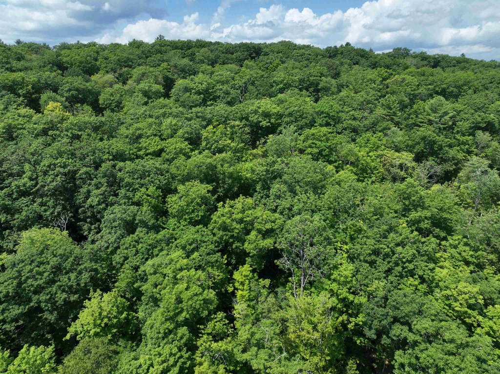
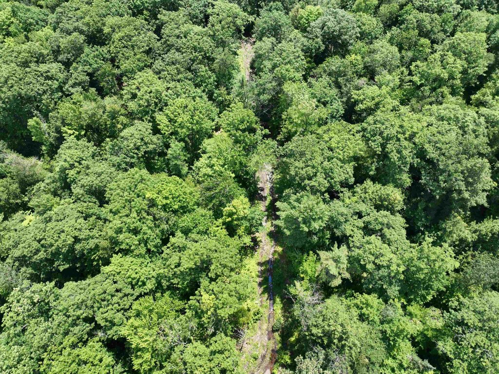
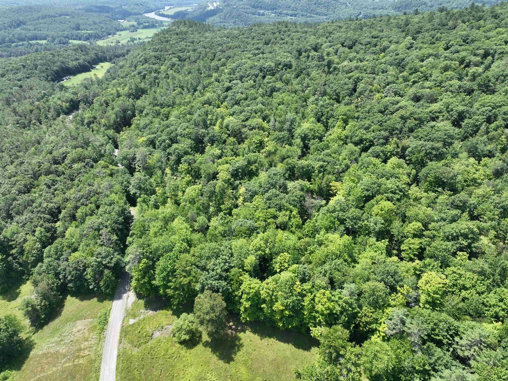
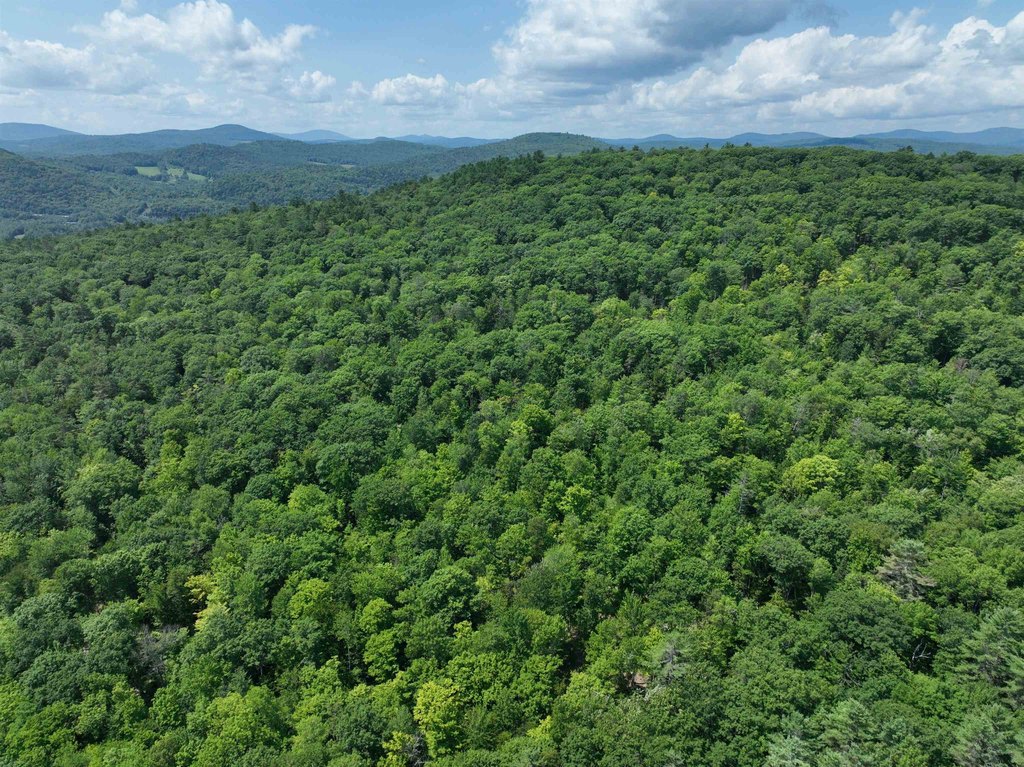
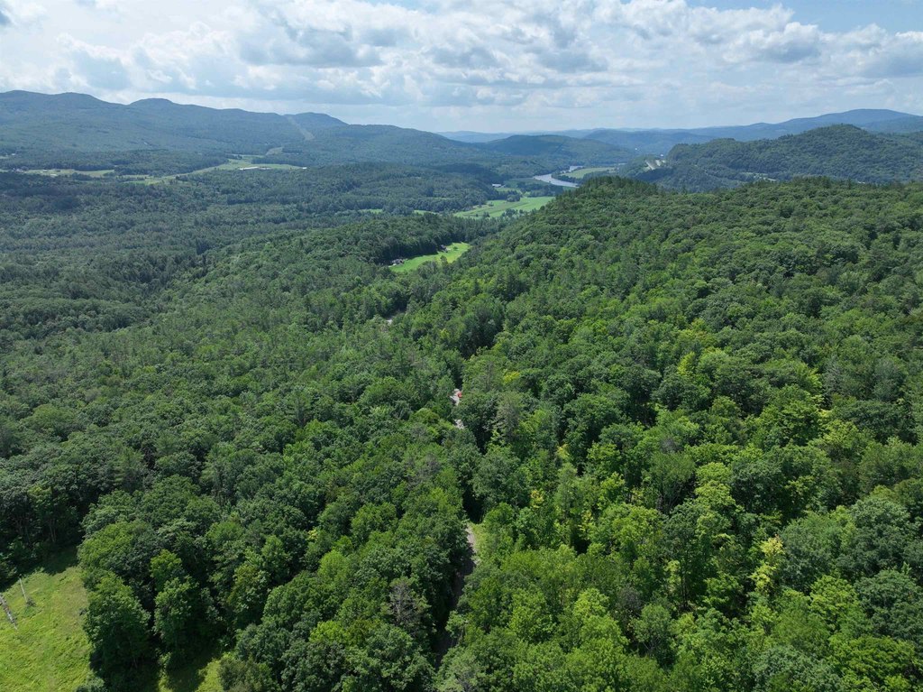
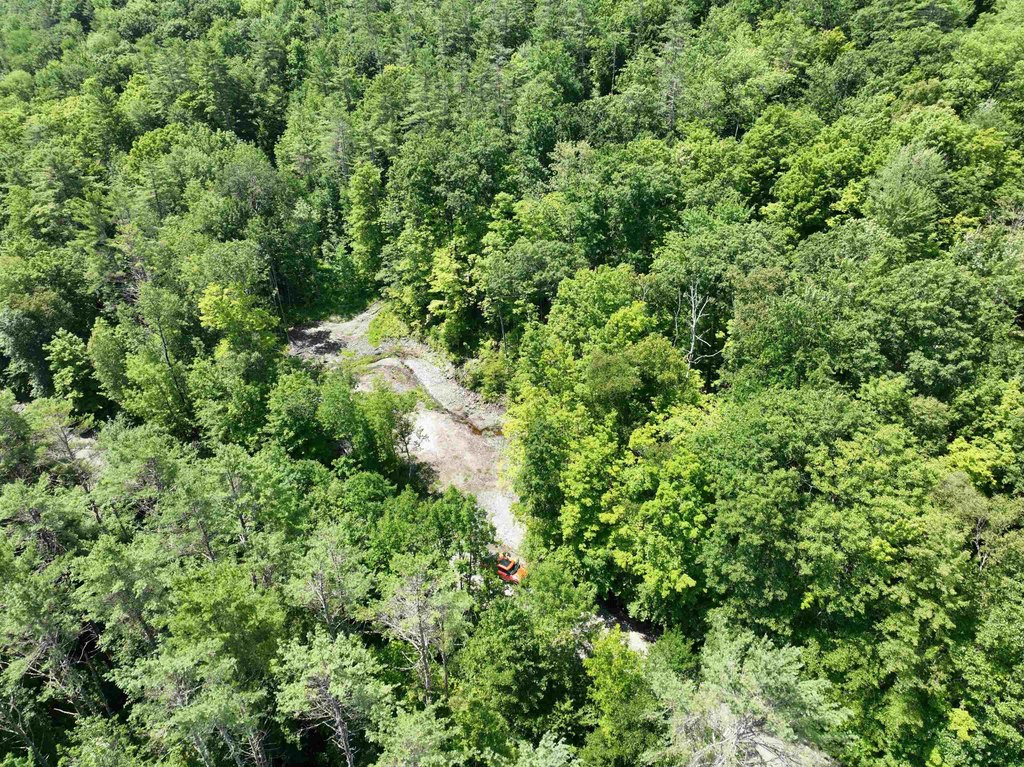
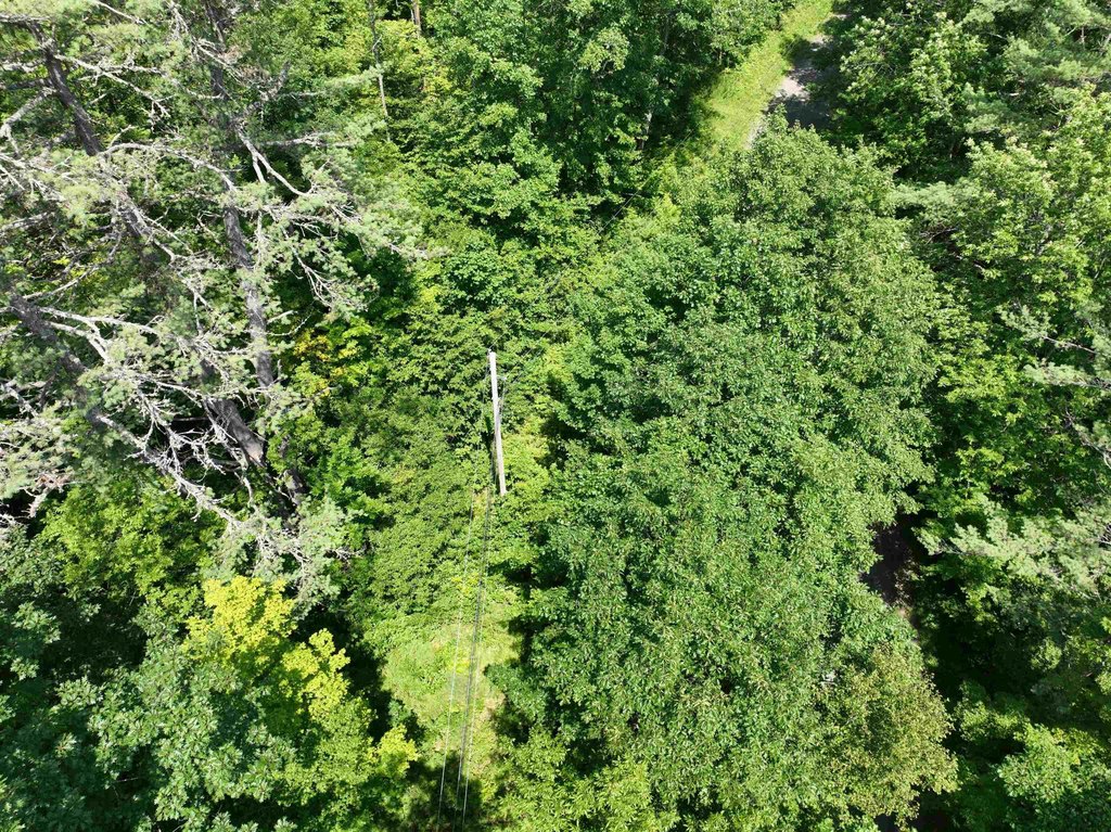
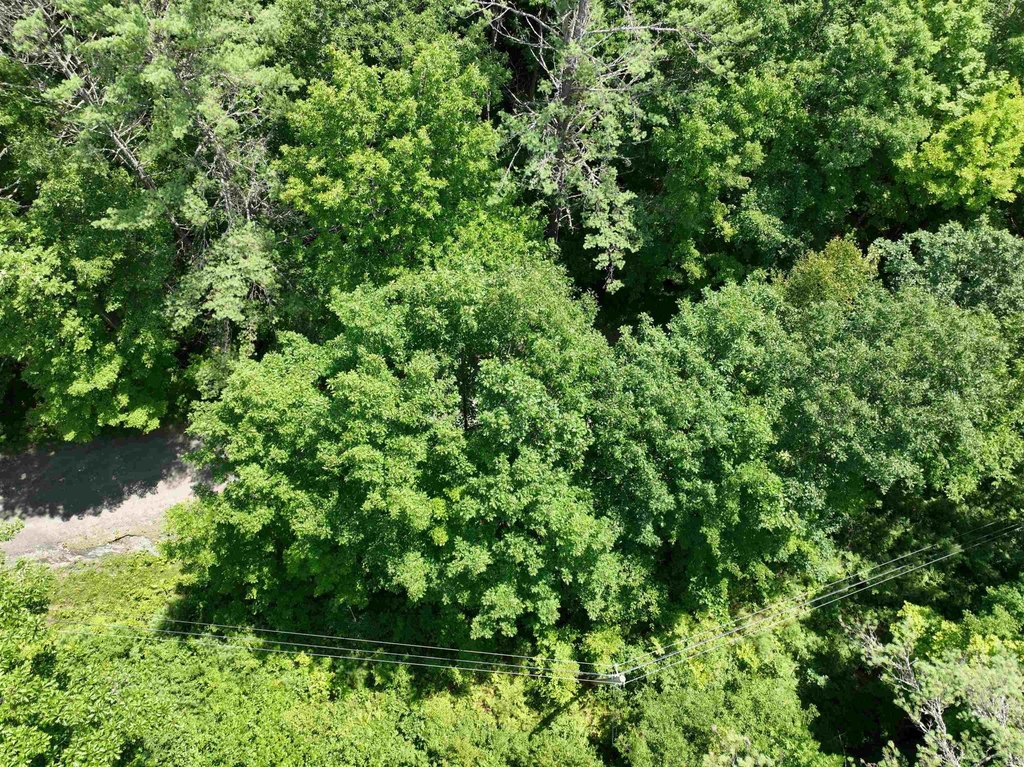
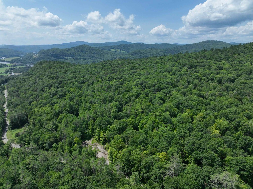
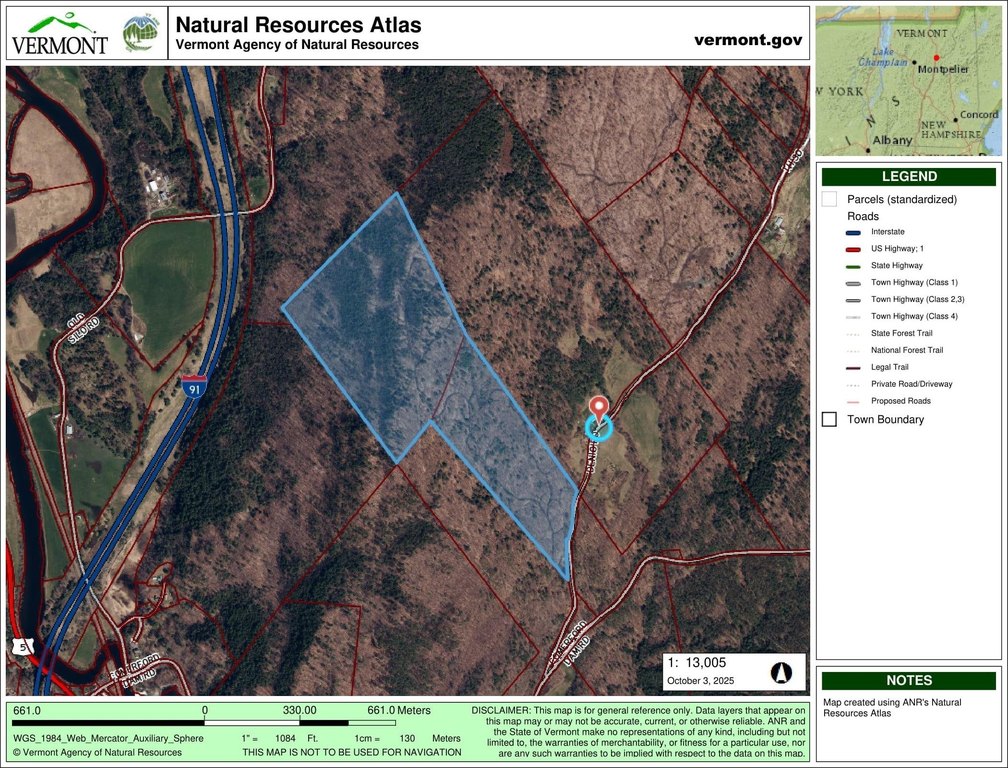
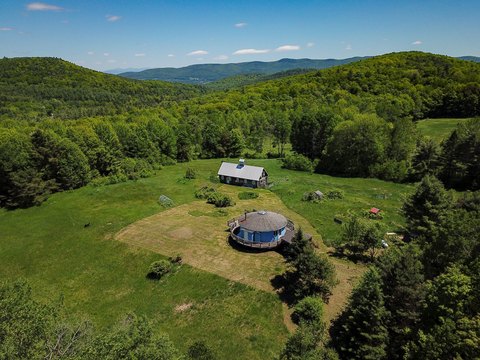
This 100-acre property on Denio Road is a mix of rising terrain and wooded areas, with trails already winding up through the land. The parcel was recently selectively harvested and still holds mature timber, mostly oak. The property’s natural topography contributes to improved views at higher elevations, and it could support uses such as a hobby sugarbush. Power is available at the road.
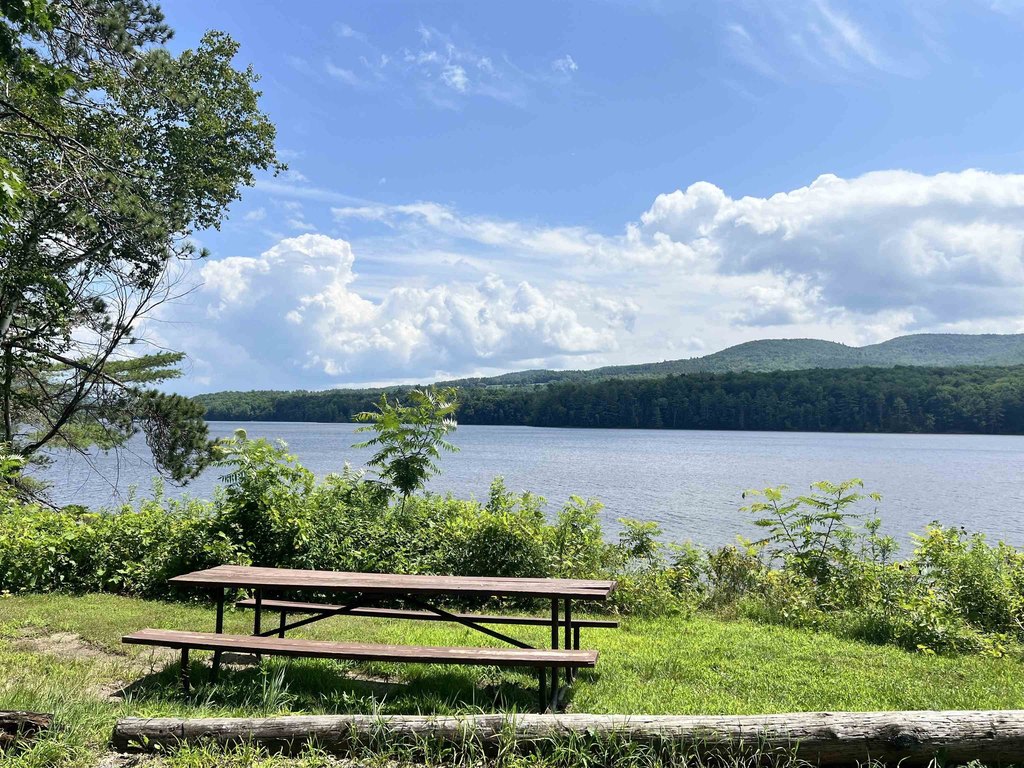
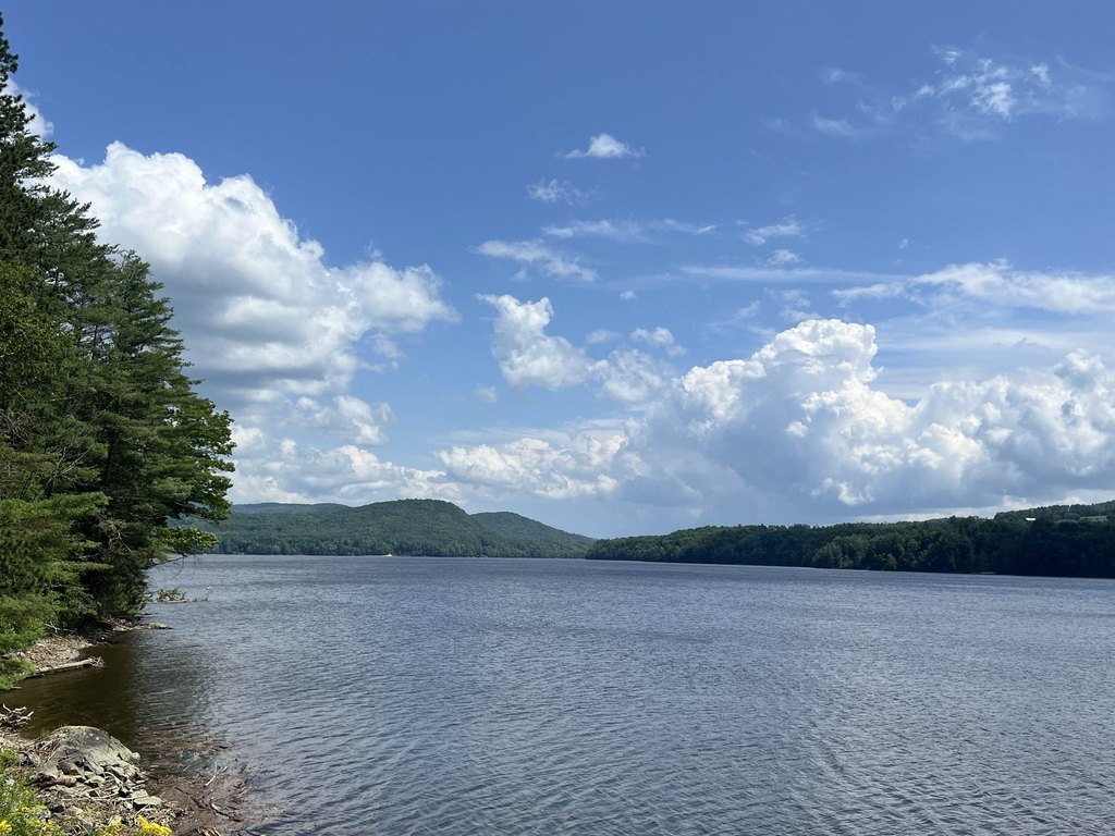
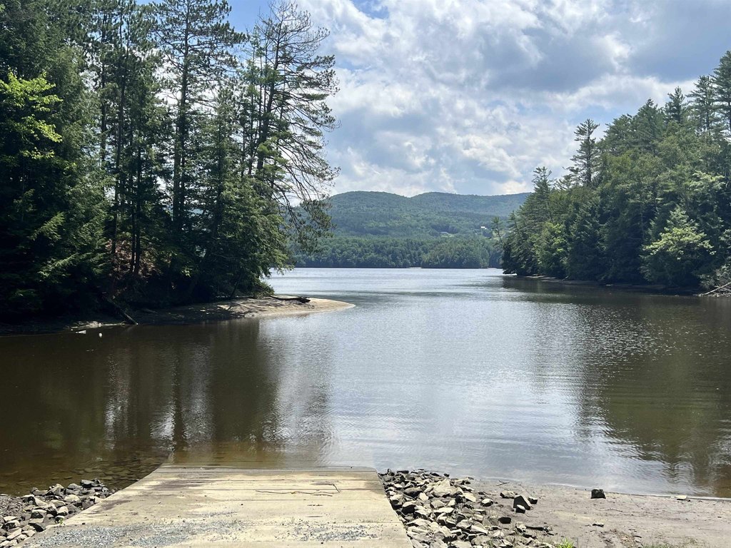
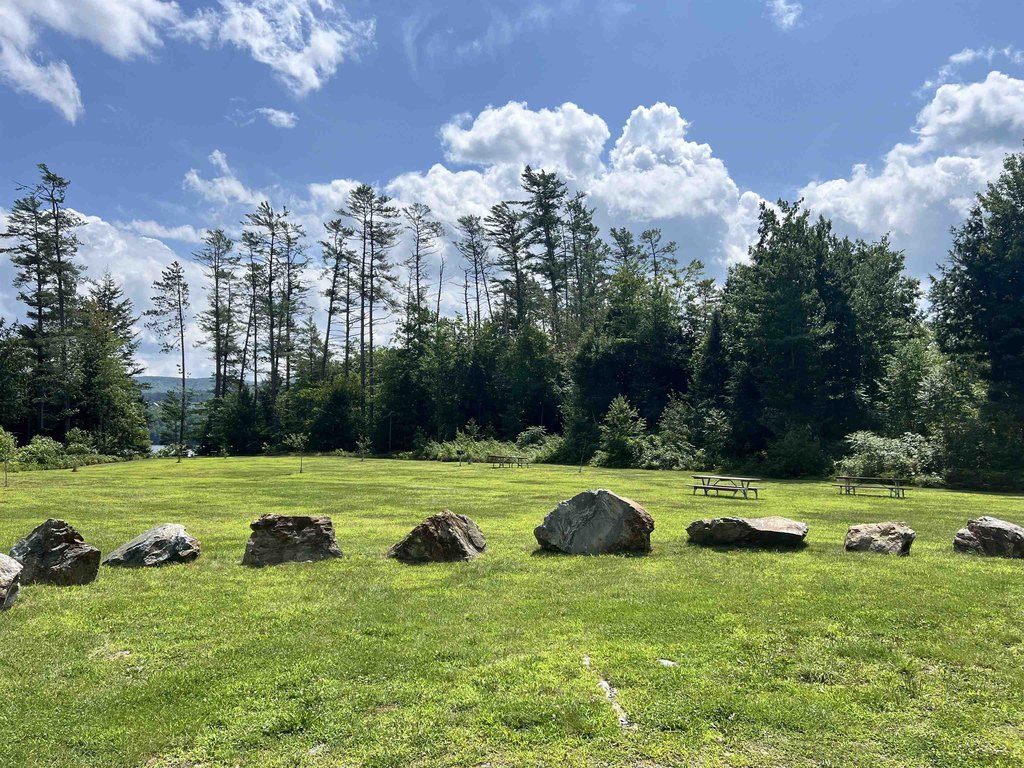
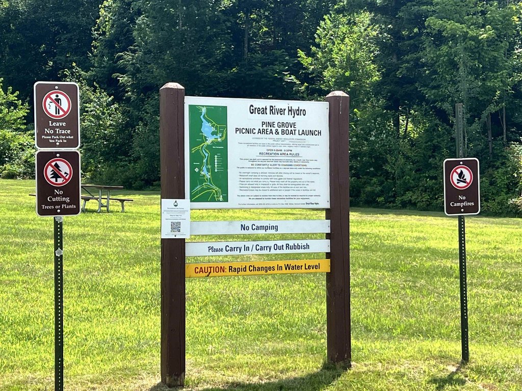
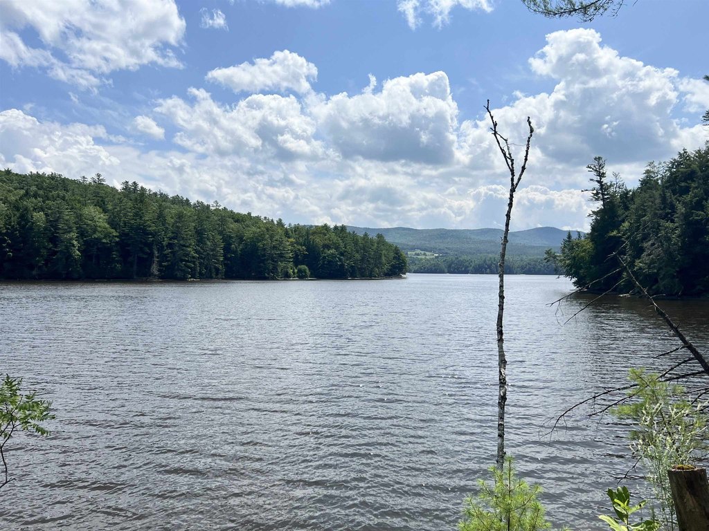
The land is located less than a mile from the Comerford Reservoir boat launch and picnic area, making it a convenient base for outdoor recreation such as boating, fishing, and hiking. Road frontage is estimated. The property is enrolled in the Vermont Current Use Program, which is noted as resulting in a tax bill of only $350/year.
With its wooded character, existing trails, and potential for view-oriented development, this parcel may fit buyers looking for a private recreation property, a land investment with current-use enrollment, or a future building site that takes advantage of higher ground. Zoning is described as Low Density.
Key Highlights
- 100‑acre parcel along Denio Road in Barnet with rising terrain and trails through the woods
- Views improve toward Comerford Dam and the Connecticut River Valley to New Hampshire’s White Mountains, plus potential westerly views of Vermont’s Green Mountains
- Recently selectively harvested with mature timber (mostly oak); potential for a hobby sugarbush
Property Analytics
Property Profile
Location Intelligence
Current Use by Public Records
Recreation land
Similar For Sale Nearby


FAQs
What type of property is this?
Recreation land - 100-acre parcel with roadside power access and wooded trails, near Comerford Reservoir boat launch.
Where is this recreation land located?
The property is located at Denio Road Barnet, VT.
What is the asking price?
The asking price for this property is $279,900.
What are key features of this property?
This property features: 100‑acre parcel along Denio Road in Barnet with rising terrain and trails through the woods; Views improve toward Comerford Dam and the Connecticut River Valley to New Hampshire’s White Mountains, plus potential westerly views of Vermont’s Green Mountains; Recently selectively harvested with mature timber (mostly oak); potential for a hobby sugarbush


