Recreation Land with
For Sale
$2,450,000
Upper Sand Cove Road S, Dammeron Valley, UT 84783
Land, Dammeron Valley, UT
Property Size6,969,600 SF
Lot Size160.00 Acres
Price / SF$0.35
Days on Market189
Property Features for Upper Sand Cove Road S
General Information
Property type
Land
Property subtype
Other
Zoning
ag
Zoning description
Agricultural
Lot features
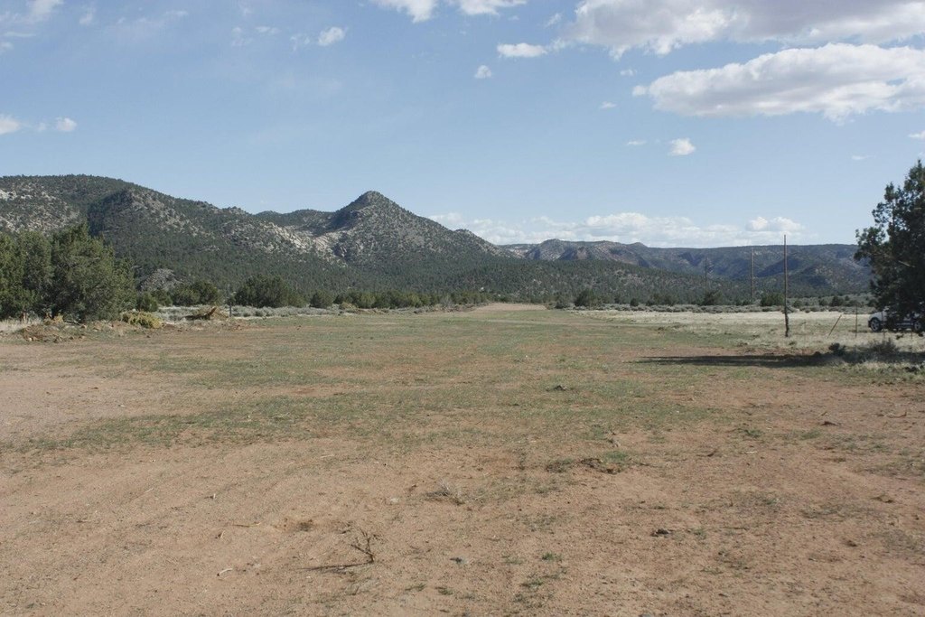
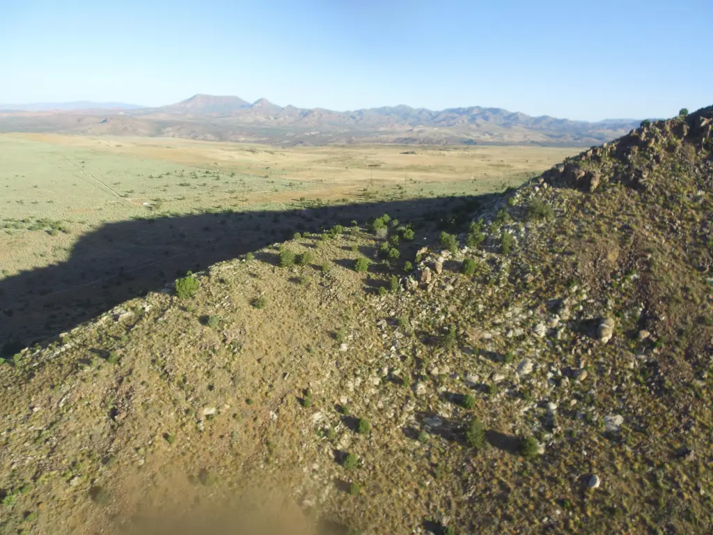
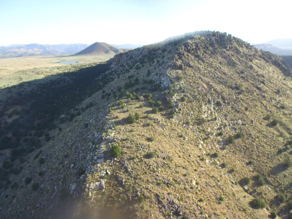
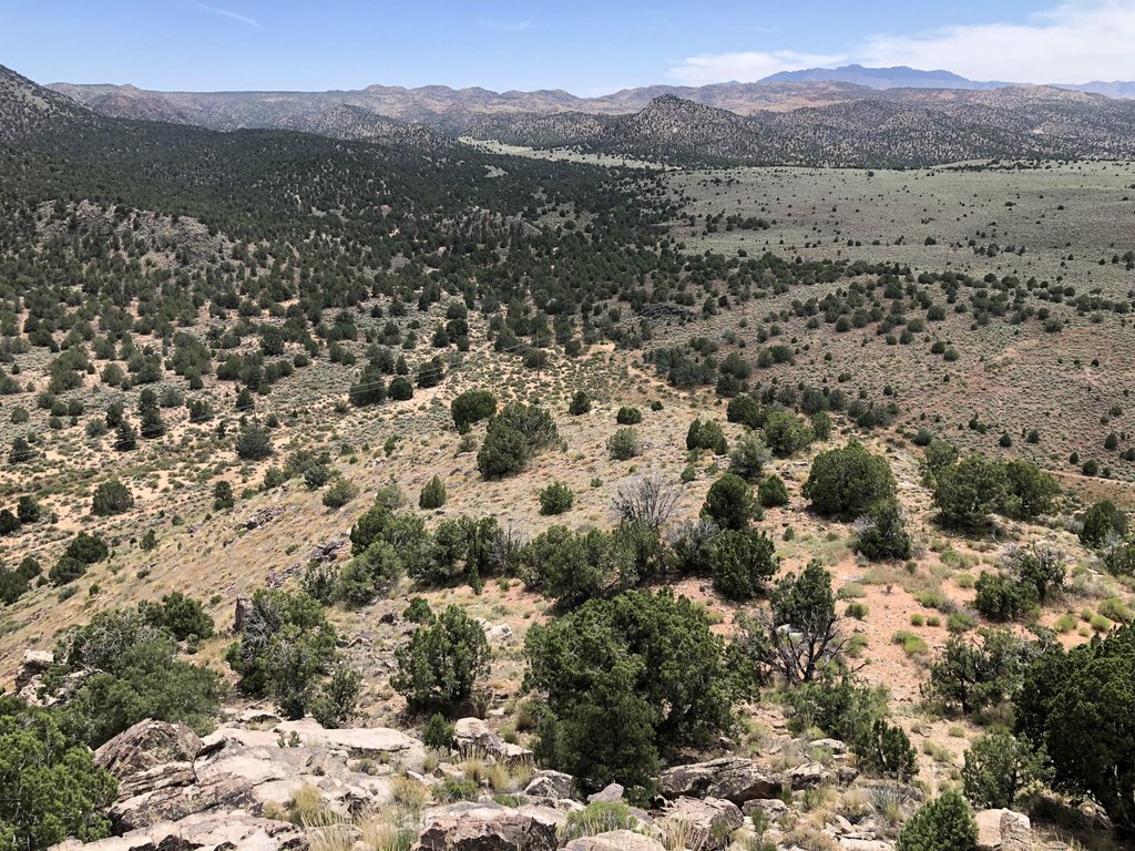
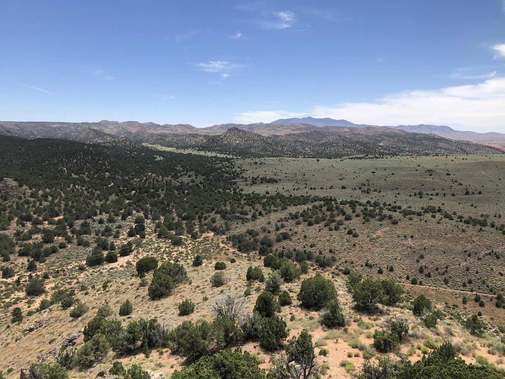
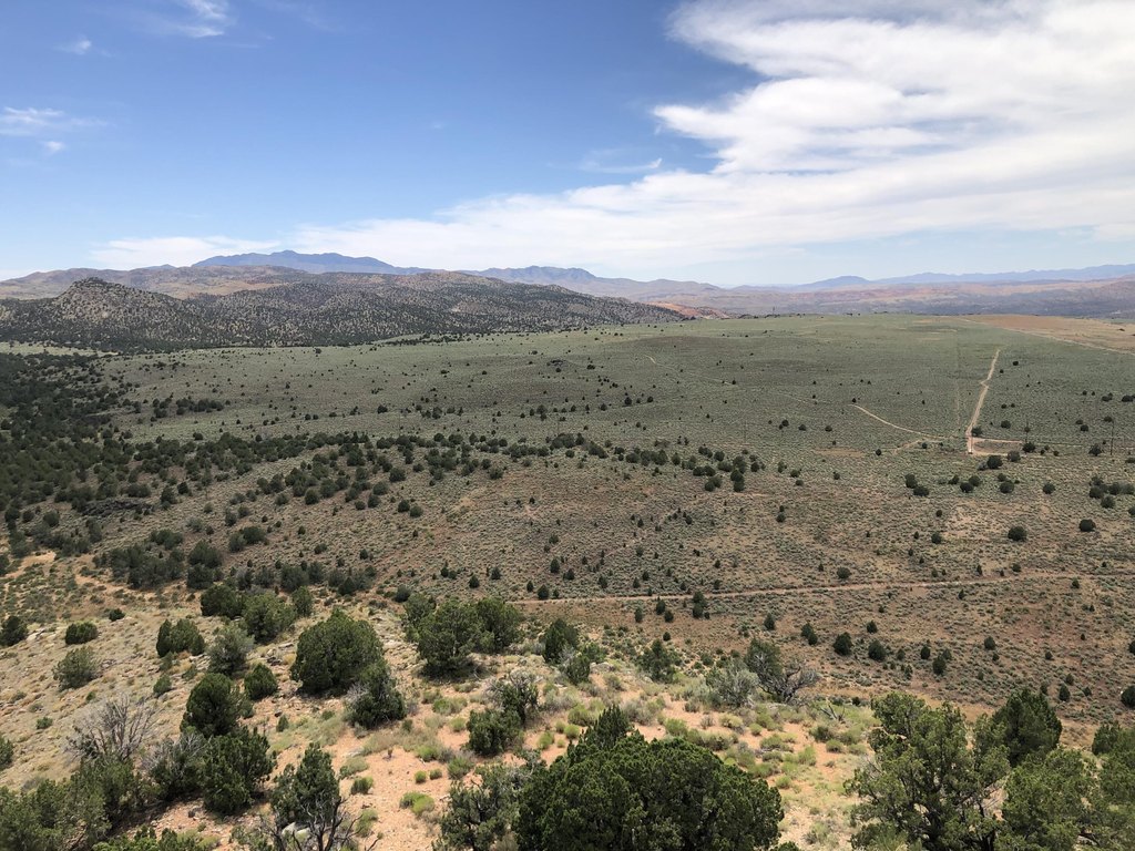
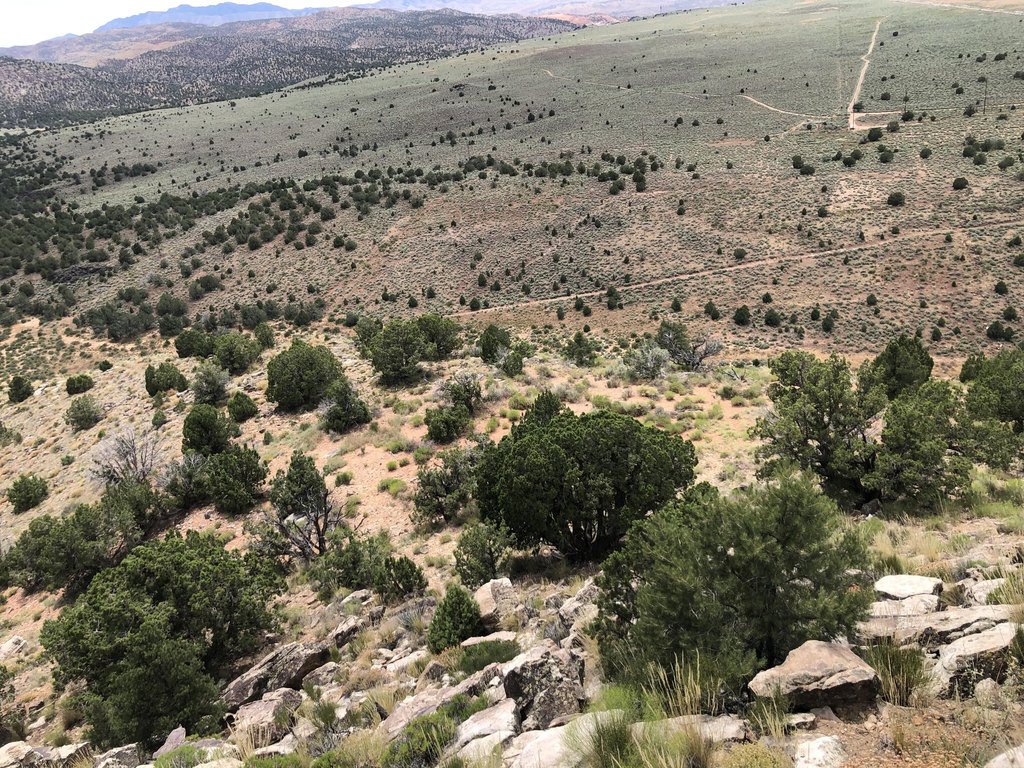
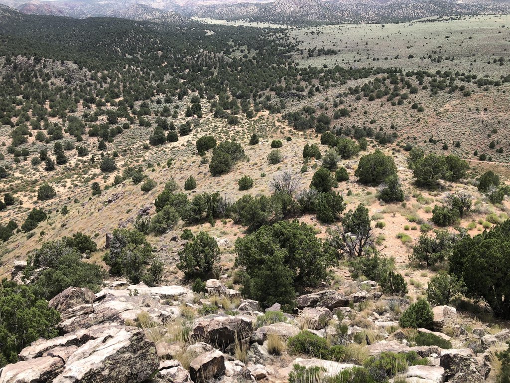
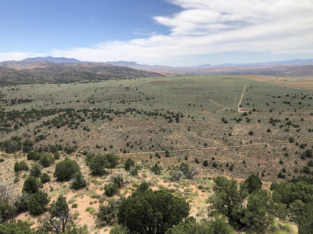
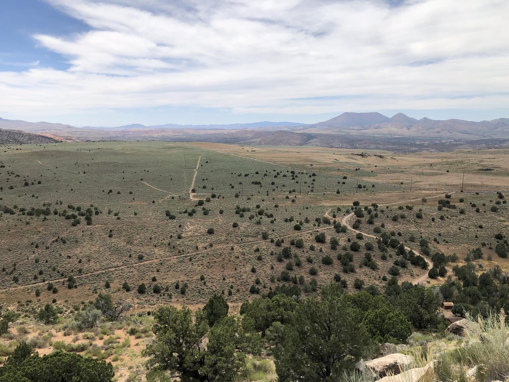
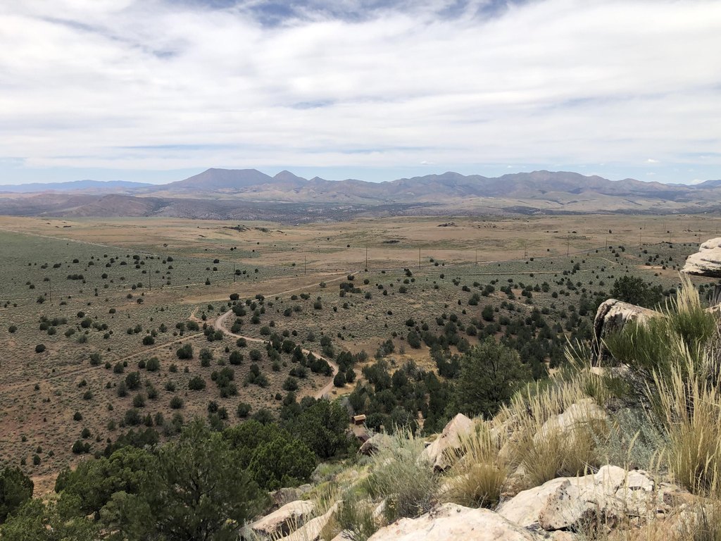
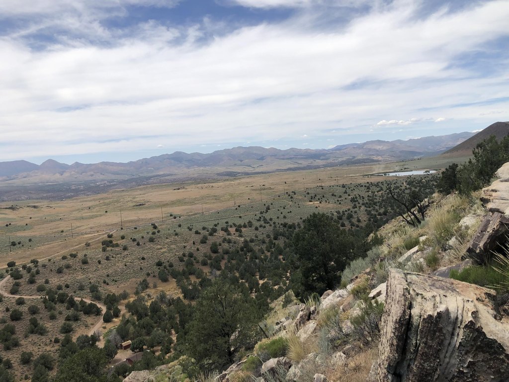
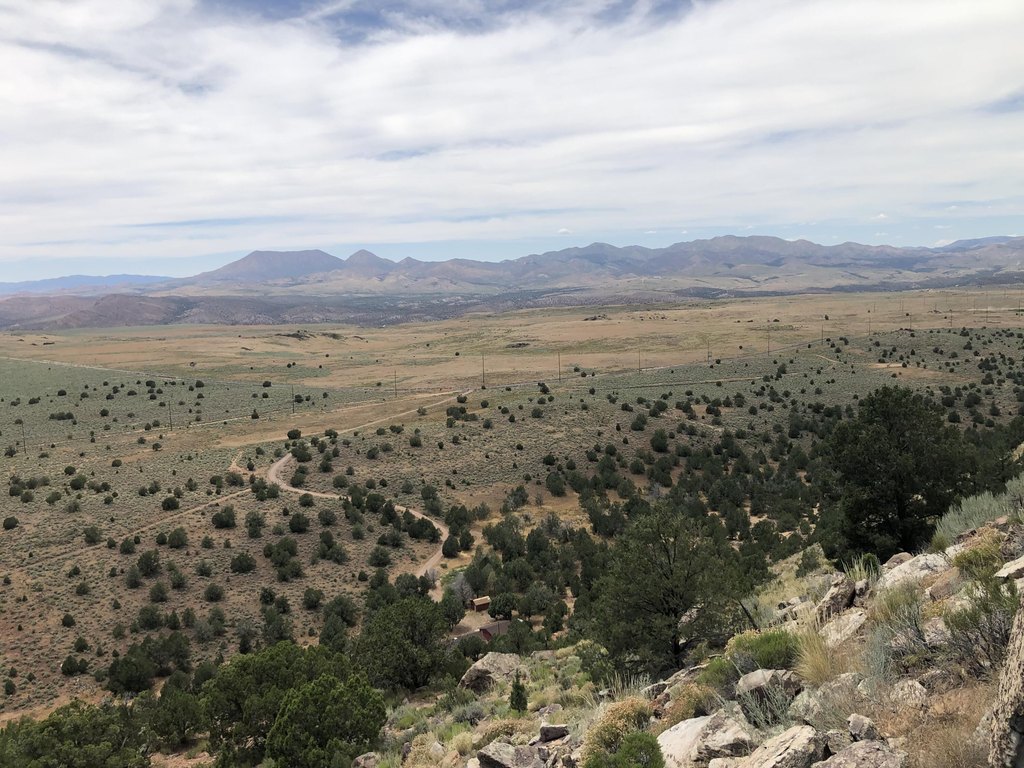
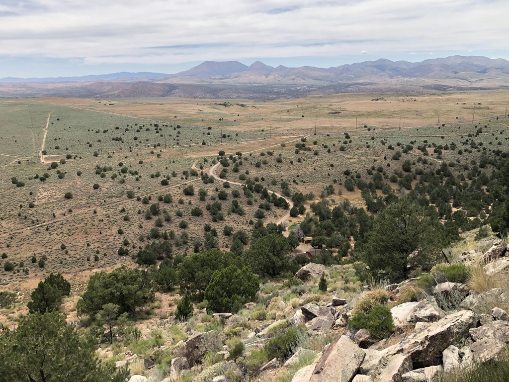
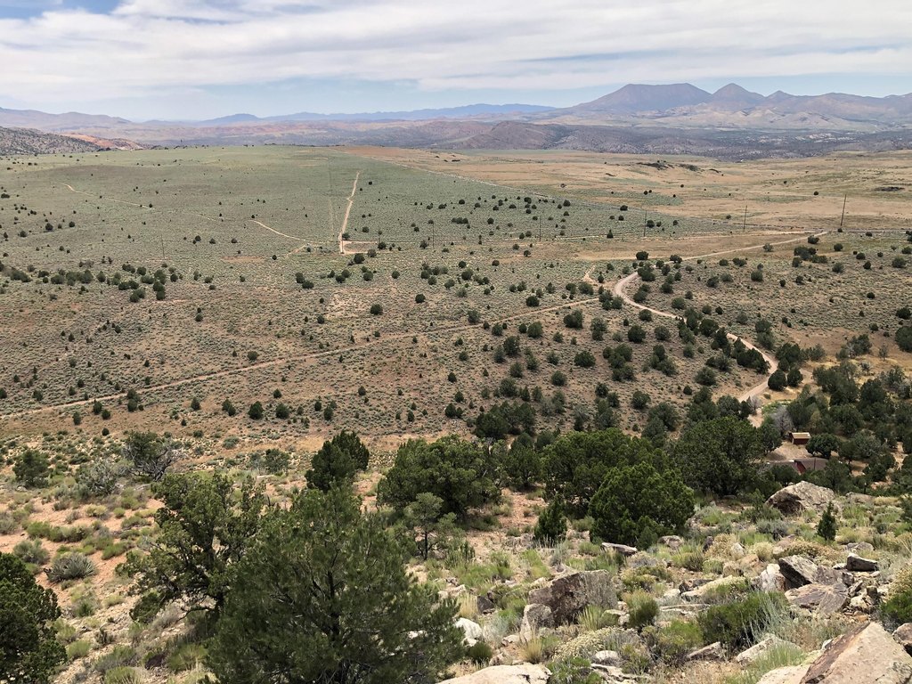
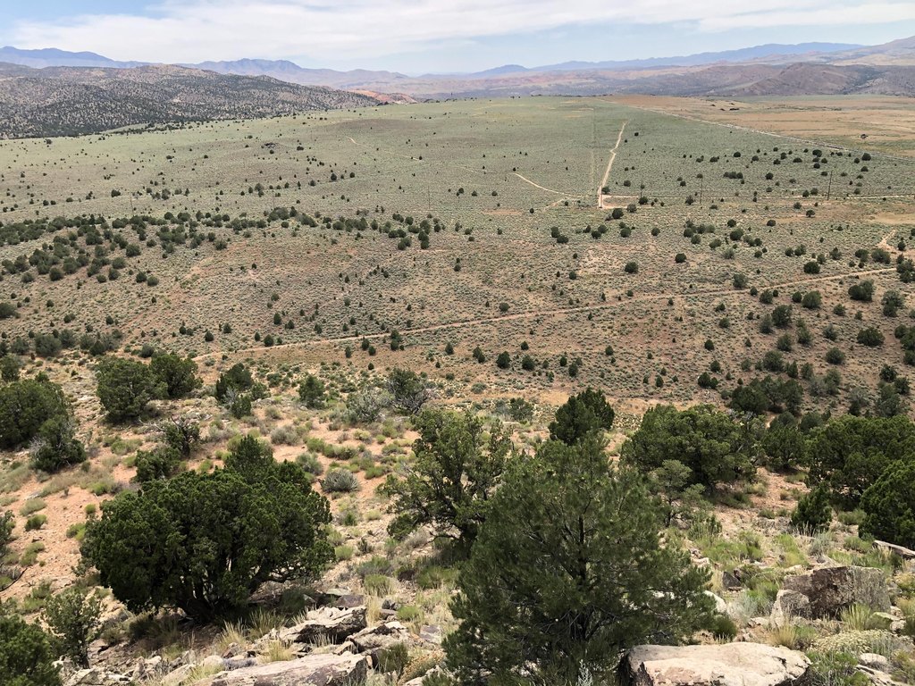
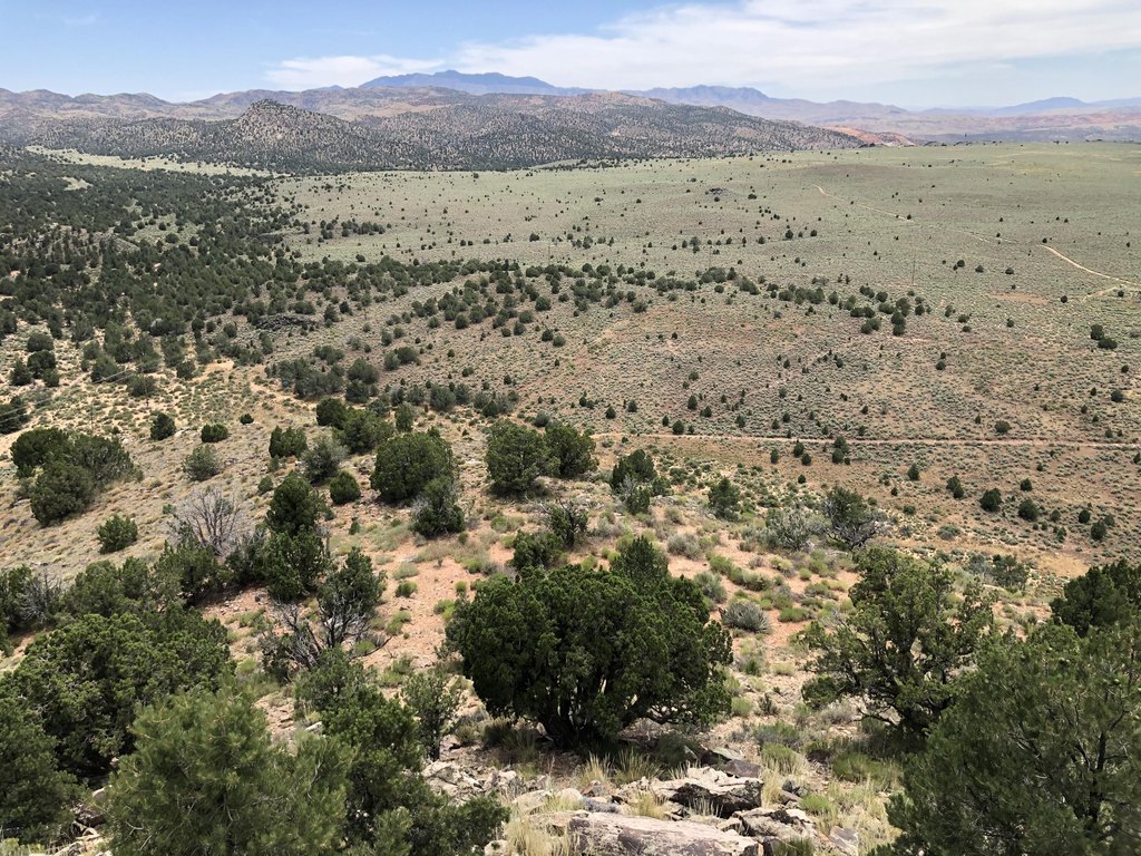
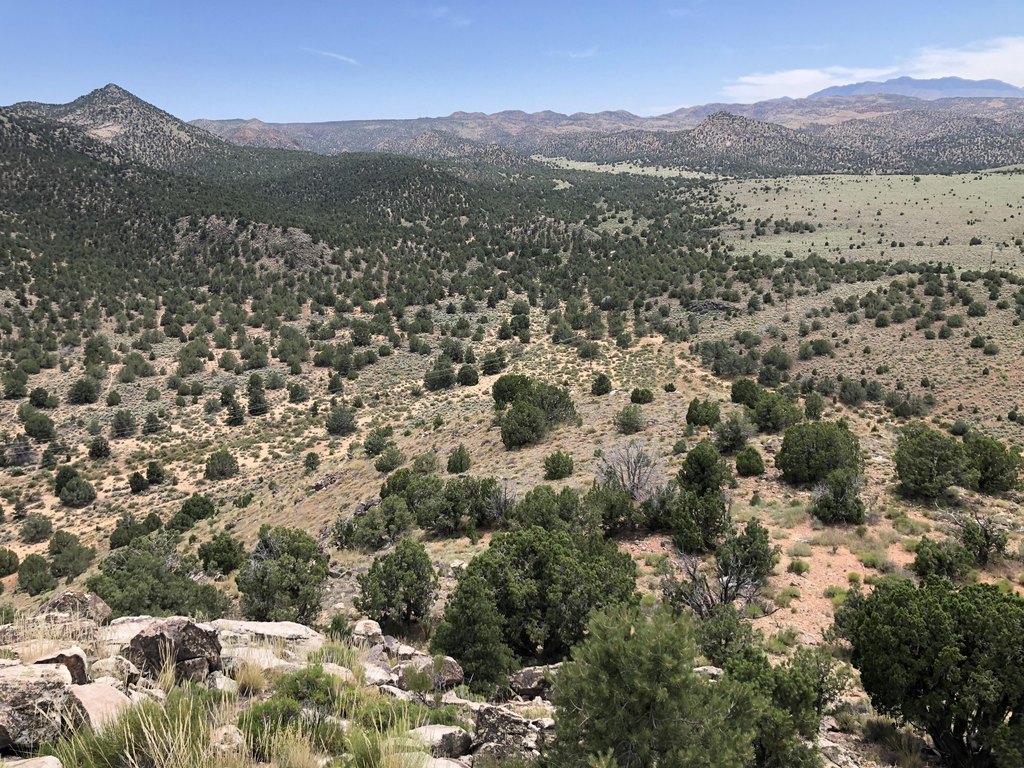
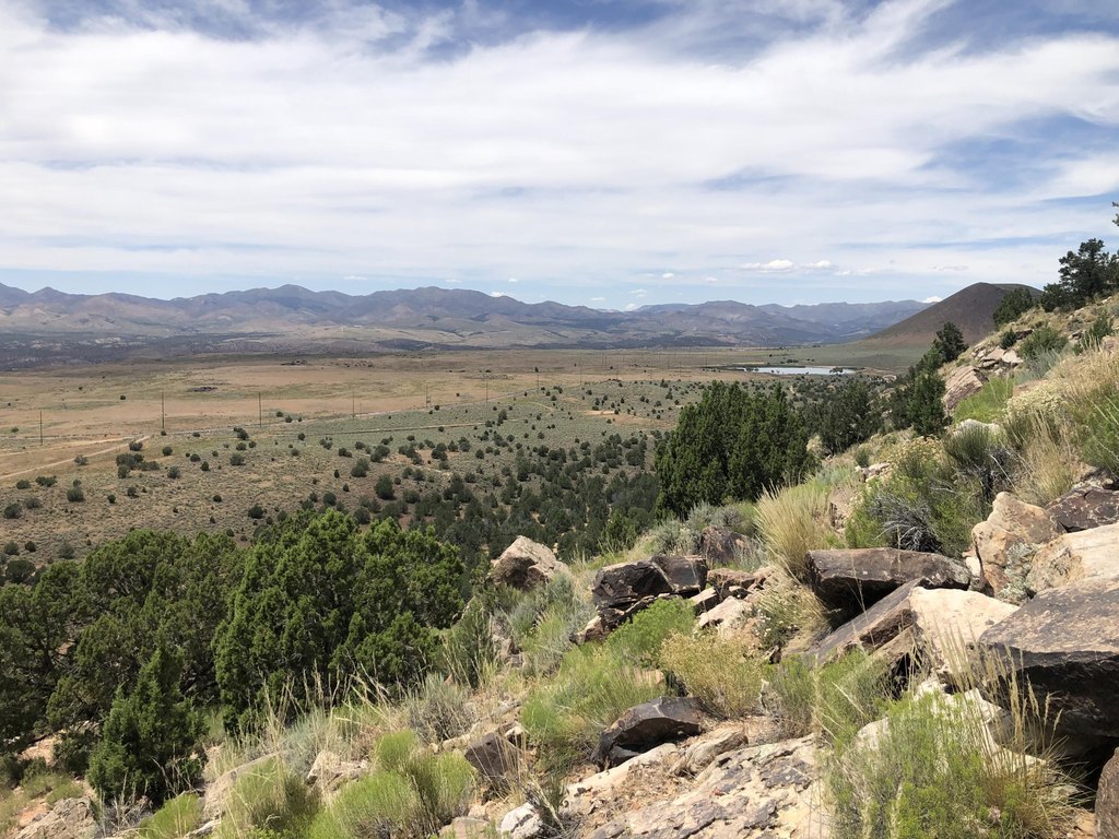
Fenced Part, Flood Zone Unknown, Green Belt/ Trail, Horse Privileges, Rural, Terrain Slope, Terrain Steep, Unincorporated, View Mountains, View Water, Water Rights, Well Owned
Elementary school
Diamond Valley Elementary
Middle school
Dixie Middle
High school
Dixie High
Directions
Take upper sand cover road off of highway 18. Go past the upper Sand Cove Reservoir and when the road takes a sharp turn to the west, turn left into the entry to the ranch. The map is correct. Call the listing agent if you have questions.
Subdivision
Northwest Wn
Standard status
Active
APN
7206-A-1-NW
Size
6,969,600 SF
Lot size
160.00 Acres
Utilities
Utilities
Propane
Listing Agency:
ERA BROKERS CONSOLIDATED SG
(435) 628-1606
Listed By:
Ryan J Andersen
(435) 632-1622
Added: Apr 1
Changed: Oct 3
Last Checked: Oct 6 at 1:06PM
MLS# 26-270916
Copyright © 2026 Washington County Board of Realtors. All rights reserved. All information provided by the listing agent/broker is deemed reliable but is not guaranteed and should be independently verified.
Investment Insights
Based on property information with market context.
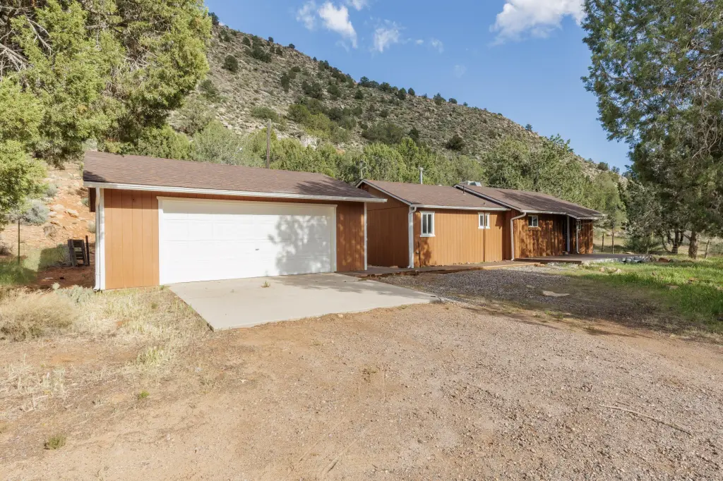
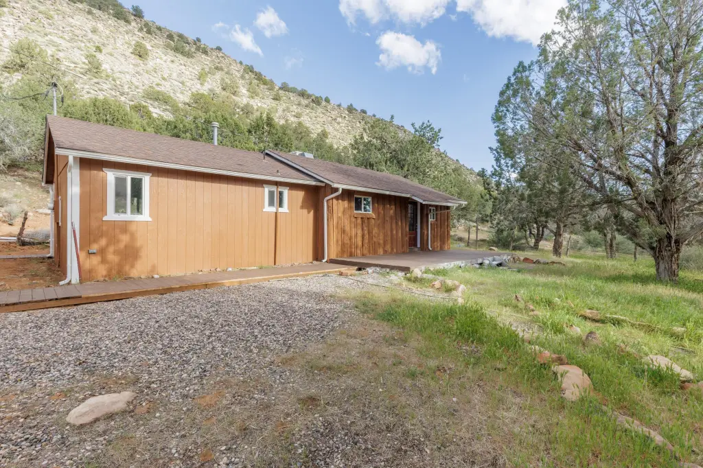
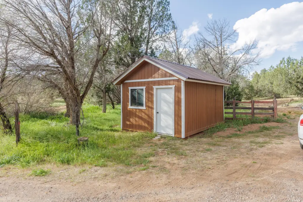
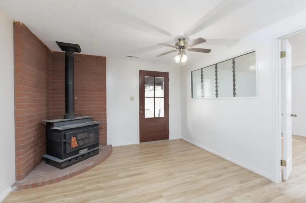
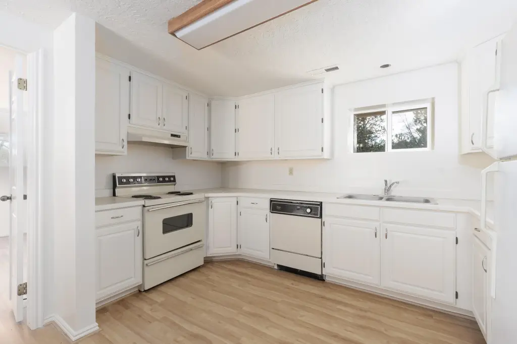
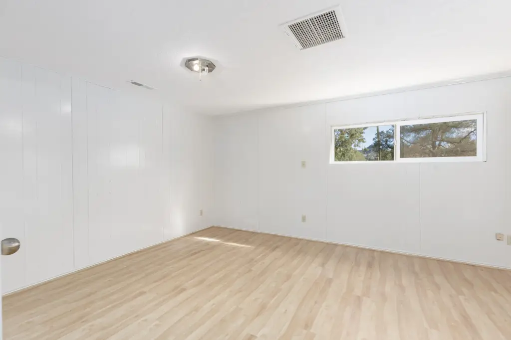
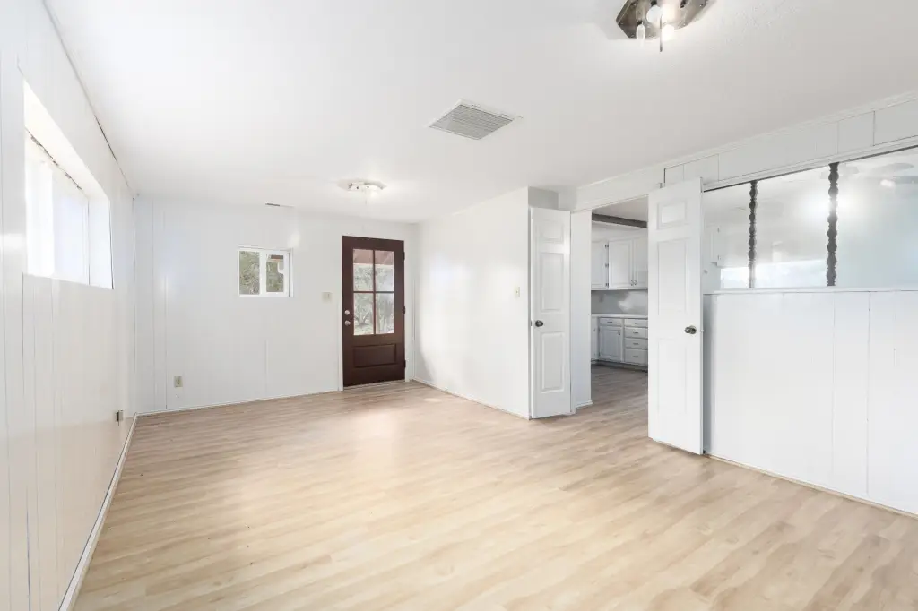
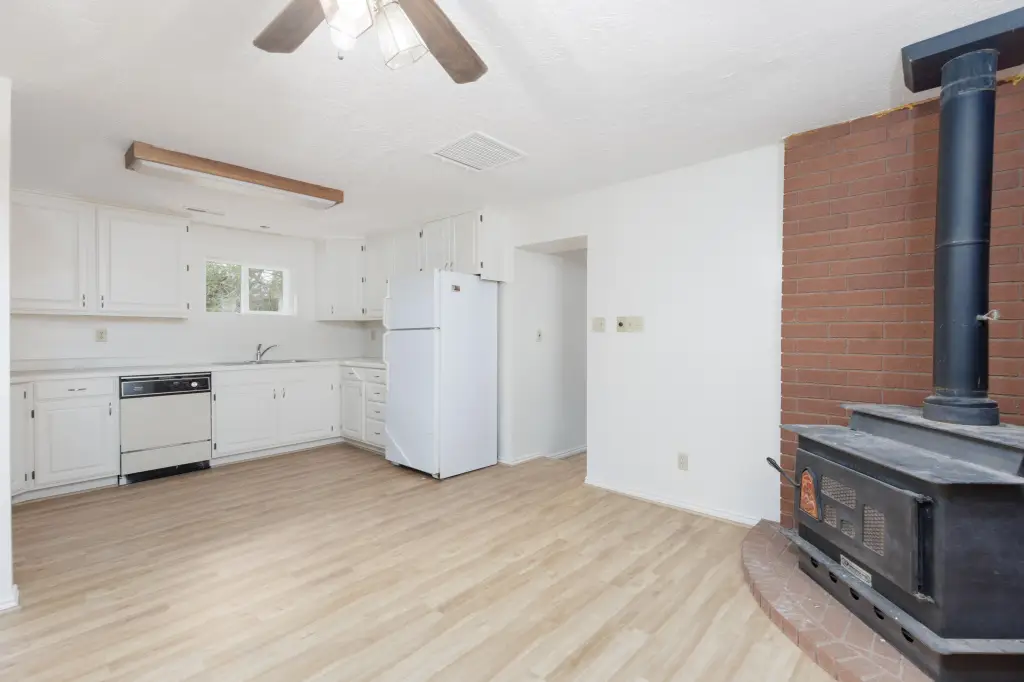
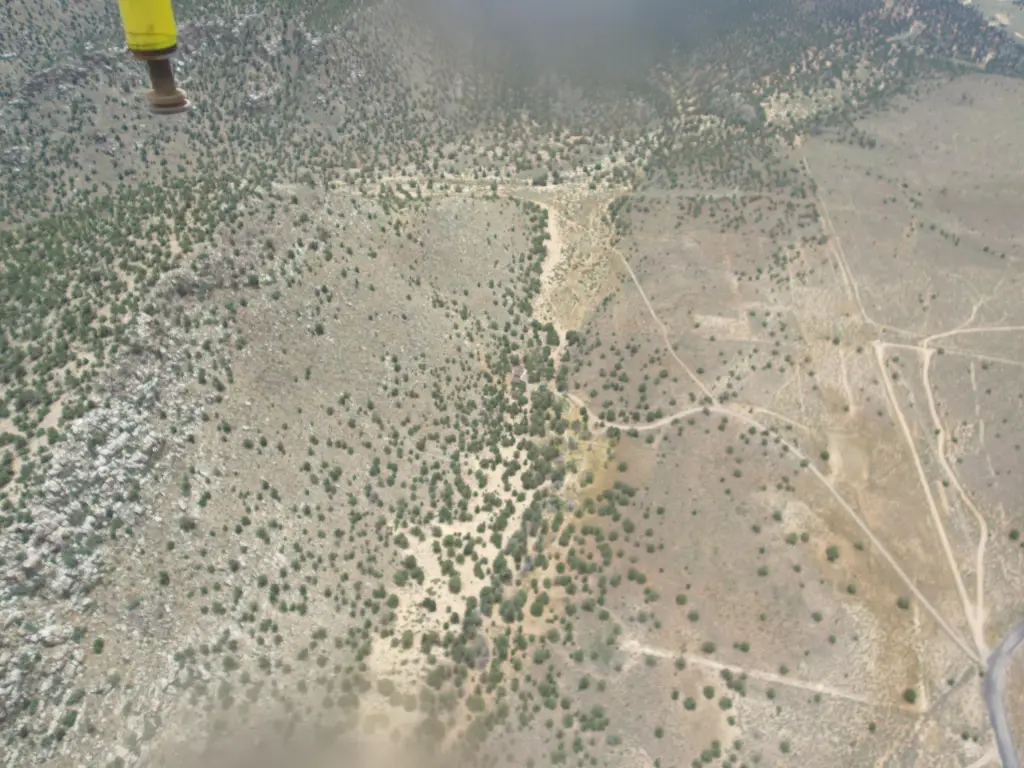
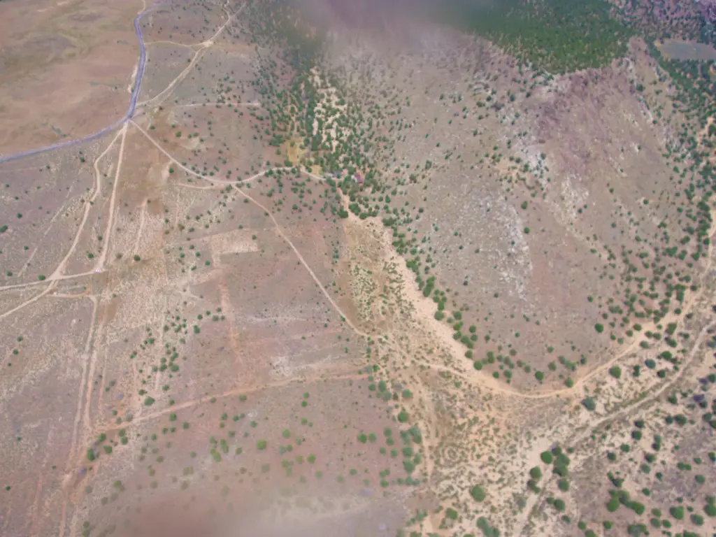
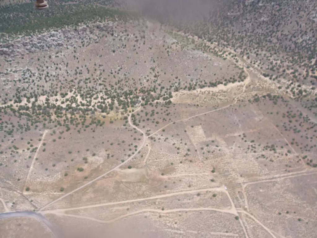
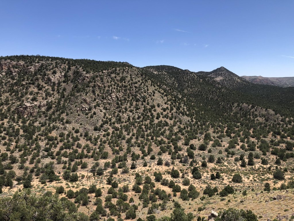
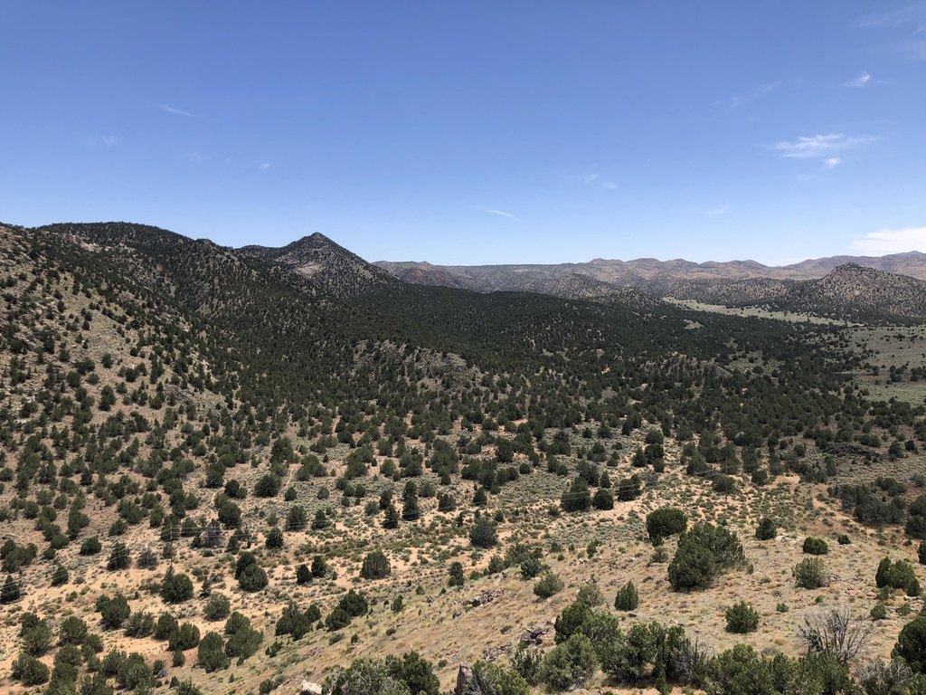
This 160-acre recreation land property is zoned AG and includes a small cabin, a well, 5 acre-feet of water, and propane service. The parcel offers varied topography with established access to a private cabin setting and outdoor recreation areas. Property Size: 6,969,600 square feet.
The land borders the Red Mountain Wilderness area along its southern boundary and BLM land to the east. It is positioned south of Upper Sand Cove Reservoir, near the Prophecy Wall, and approximately 18 miles north of St. George and 3 miles south of Veyo. The surrounding area supports abundant wildlife and access to fishing and water-based recreation at the reservoir.
The land borders the Red Mountain Wilderness area along its southern boundary and BLM land to the east. It is positioned south of Upper Sand Cove Reservoir, near the Prophecy Wall, and approximately 18 miles north of St. George and 3 miles south of Veyo. The surrounding area supports abundant wildlife and access to fishing and water-based recreation at the reservoir.
Key Highlights
- 160 acres of recreation land zoned AG
- Small cabin included with the property
- Well and 5 acre‑feet of water
Property Analytics
Unlock full access to Insights
Subscribe to Realmo Intelligence
Open Analytics
Current Use
Lease Details
Yes
Water rights
Location Intelligence
Trade Area within ½ mile
2
Businesses Nearby
Explore this area
Business Placement
Demographics for 84783, UT
907
Population
530
Households
1.7
Avg Household Size
58
Median Age
45%
College-Educated
94%
High-School Grad
34.4 sq mi
ZIP Area
26
Density / Sq Mi
$645,600
Median Home Value
Check the figures for this property
Cap Rate, Value Estimation, Potential NOI and more
View Realmo Analytics

Questions? Ask Rey
Realmo’s AI knows this listing — price, zoning, demand, history. Ask anything.
Frequently Asked Questions
What type of property is this?
Recreation land - Agricultural-zoned recreational acreage includes a small cabin, well, and 5 acre-feet of water.
Where is this recreation land located?
The property is located at Upper Sand Cove Road S Dammeron Valley, UT.
What is the asking price?
The asking price for this property is $2,450,000.
What are key features of this property?
This property features: 160 acres of recreation land zoned AG; Small cabin included with the property; Well and 5 acre‑feet of water


