Wooded Land Near
For Sale
$149,900
County Road 359, Thayer, MO 65791
Land, Thayer, MO
Property SizeContact for details
Lot Size39.54 Acres
Days on Market92

Ask AI about this property
Review the available facts, identify missing information and prepare questions for the agent.
Property Features for County Road 359
General Information
Property type
Land
Property subtype
Other
Fencing
Barbed Wire, Perimeter
Lot features
Acreage, Dead End Street, Horses Allowed, Few Trees, Mature Trees, Joins Aairport
Elementary school
Thayer
Middle school
Thayer
High school
Thayer
Directions
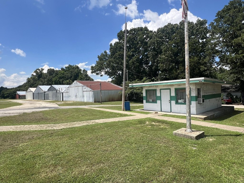
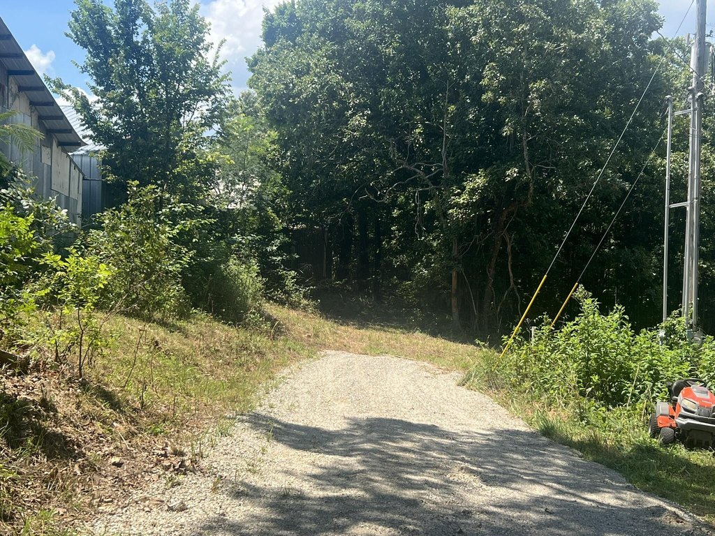
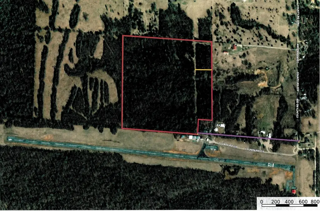
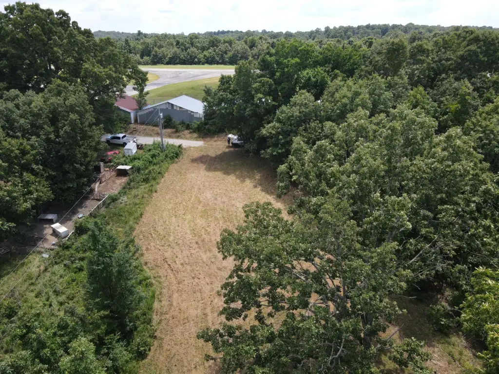
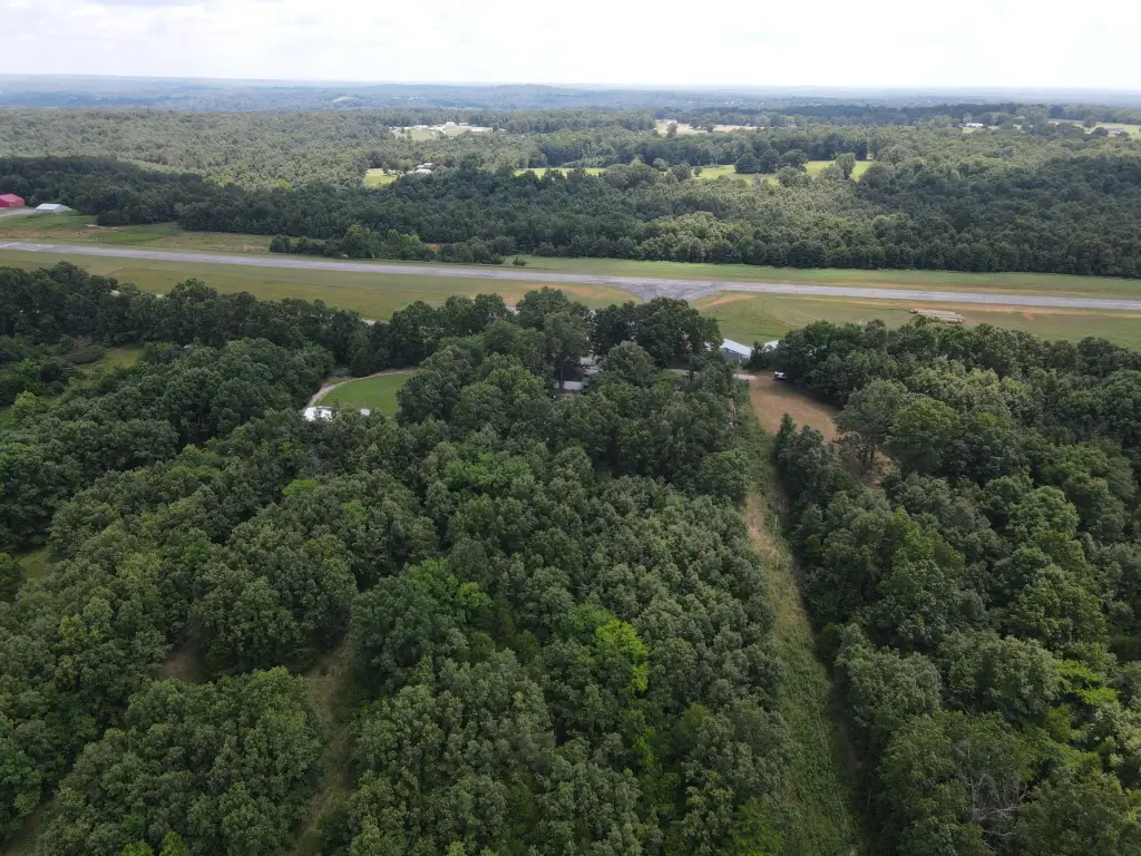
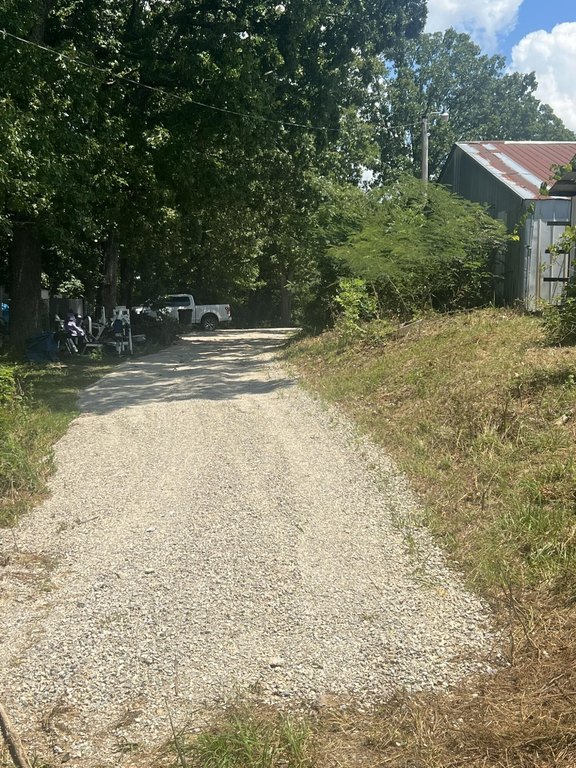
From Thayer take W highway West 2 miles then left on Airport Road (County Road 359) when you come to the runway stay hard right to the end of the road the easement is behind the hangers on the new chat. Turn right into the open area at the SE corner of the property.
Standard status
Active
APN
24-7.0-36-0-000-00001.03
Lot size
39.54 Acres
Taxes and HOA fees
Tax Year
2025
Tax Annual Amount
17
Utilities
Utilities
Electricity Available
Listing Agency:
Monark Realty
(417) 469-2869
Listed By:
Solomon Cornelius · License #1999027883
(417) 252-0499
Added: Jul 16
Changed: Oct 15
Last Checked: Oct 15 at 3:06PM
MLS# 60328999
Copyright © 2026 Southern Missouri Regional MLS, LLC (SOMO). All rights reserved. All information provided by the listing agent/broker is deemed reliable but is not guaranteed and should be independently verified.
Investment Insights
Based on property information with market context.
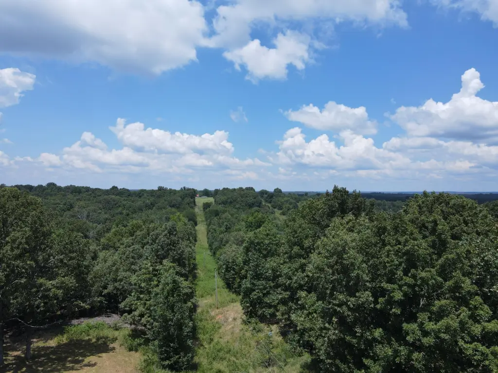
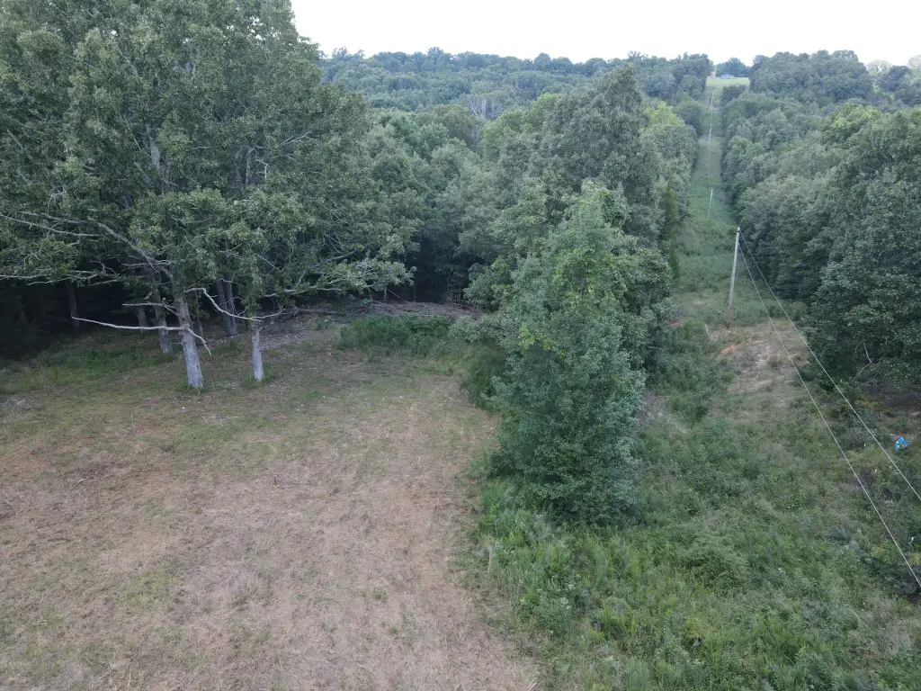
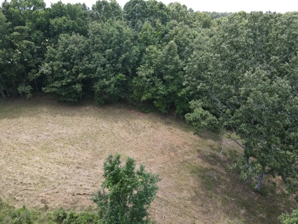
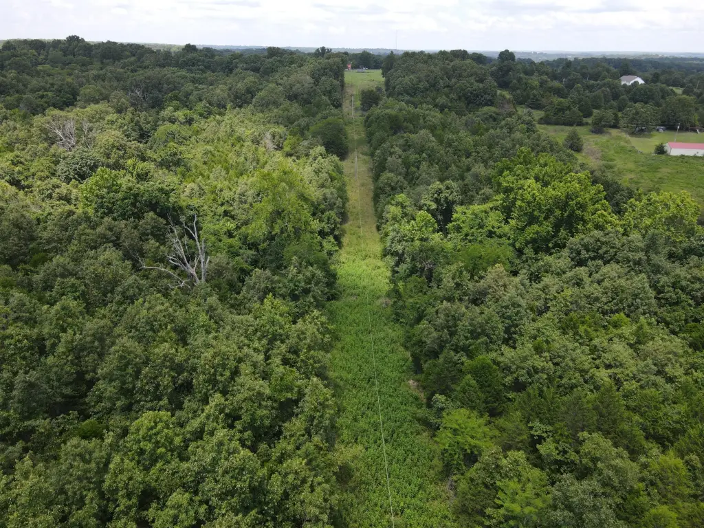
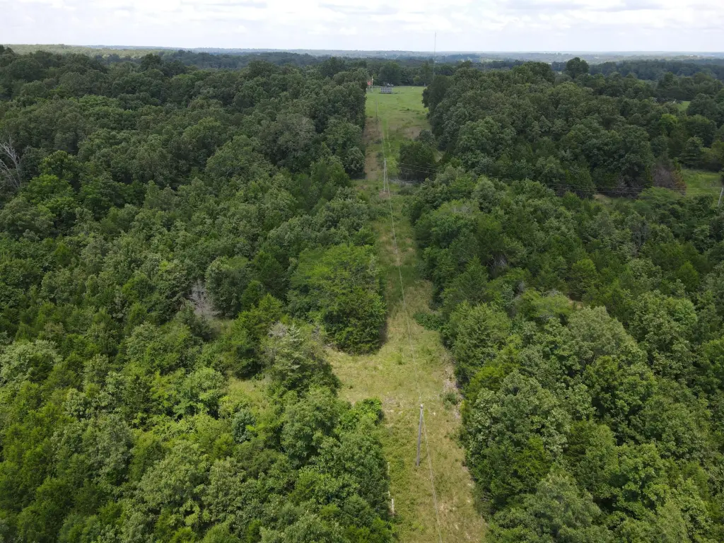
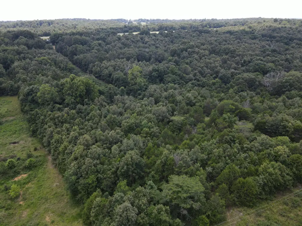
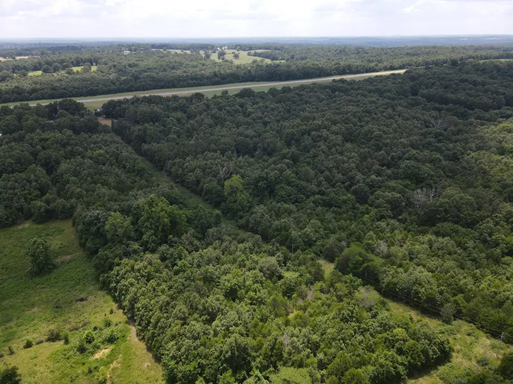
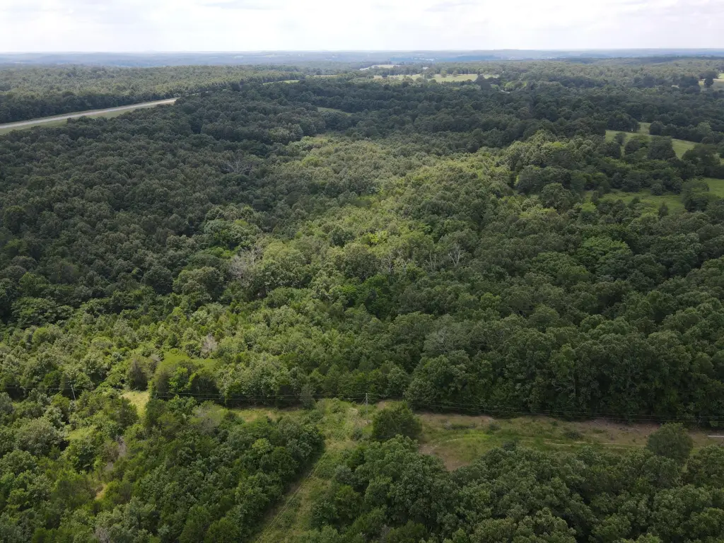
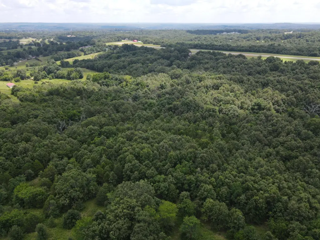
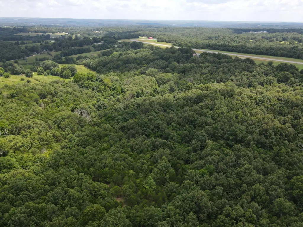
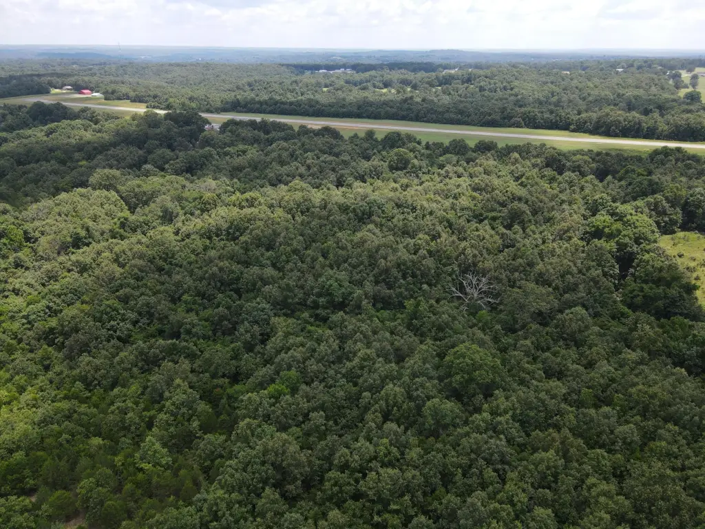
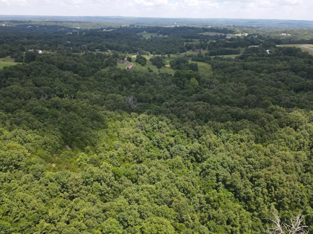
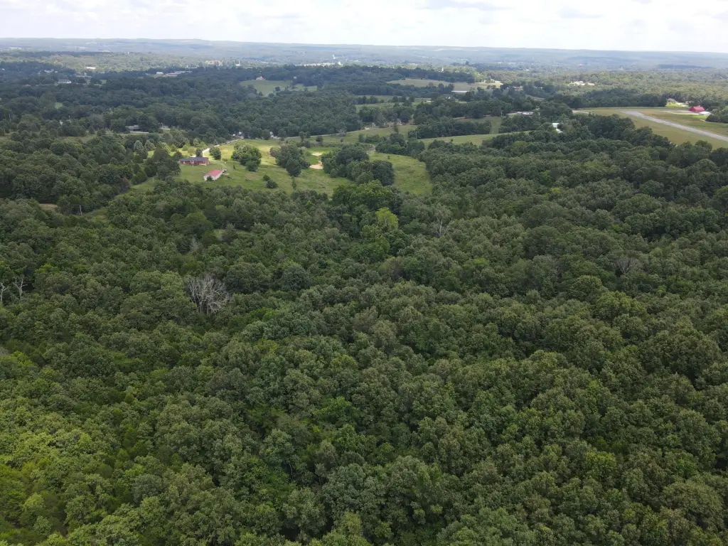
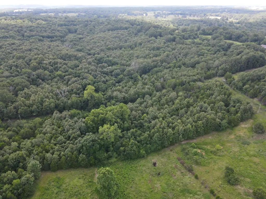
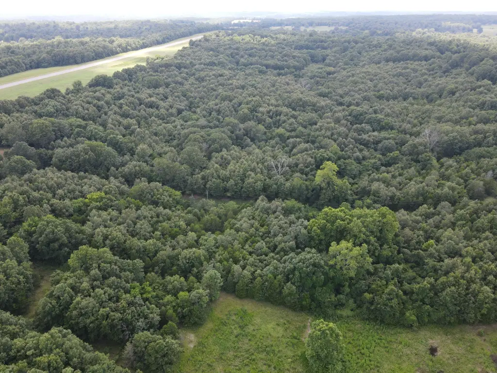
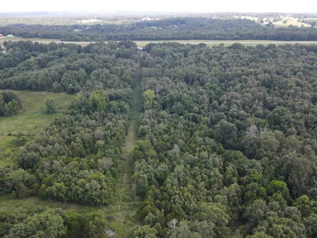
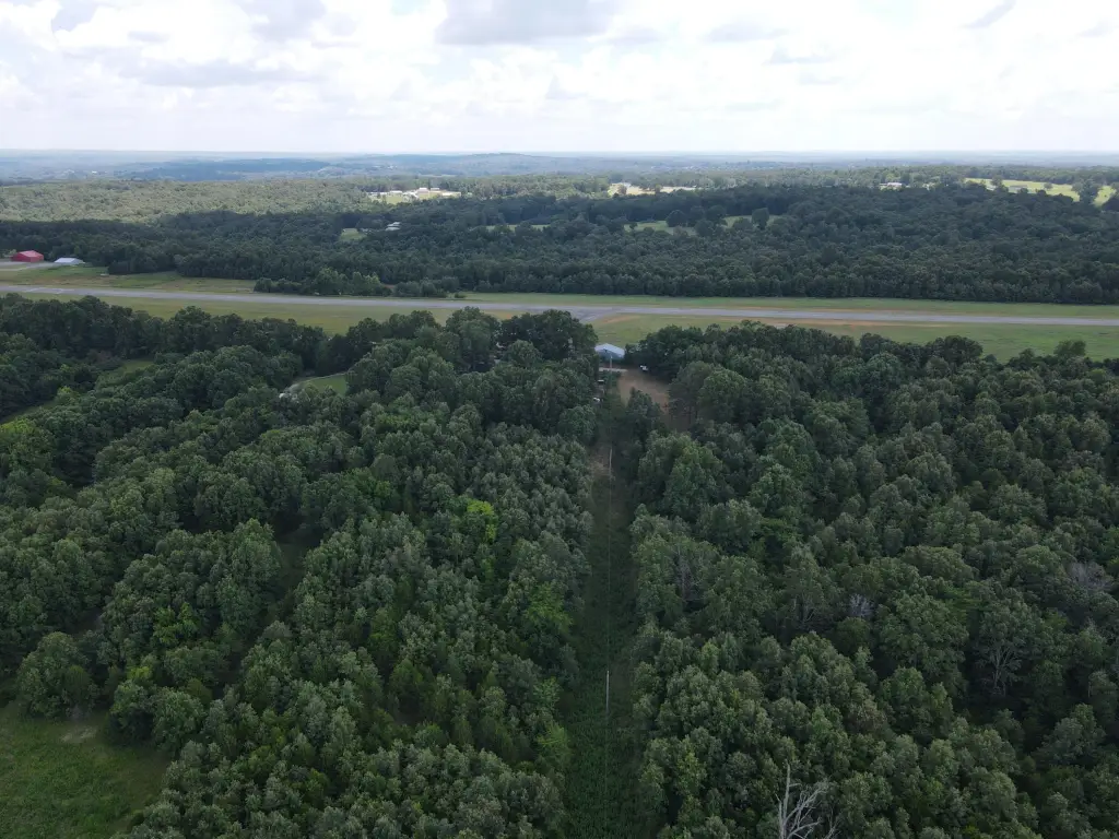
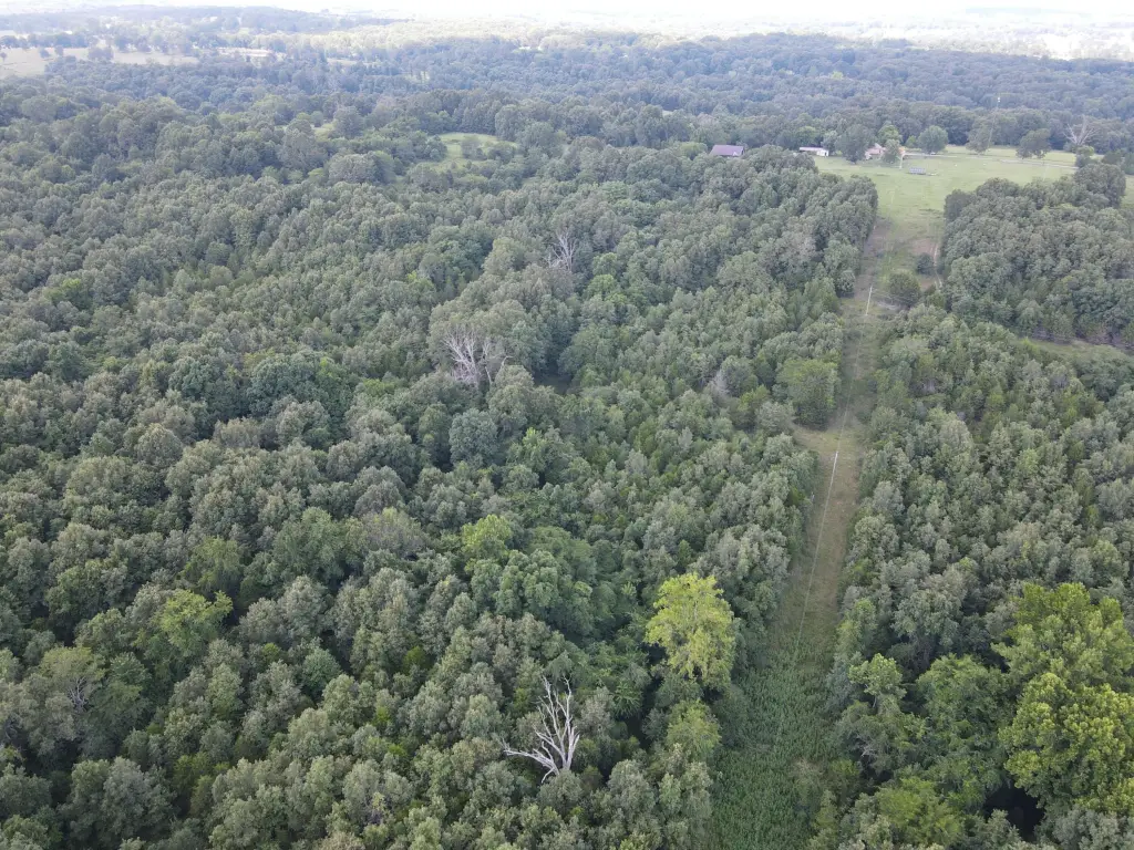
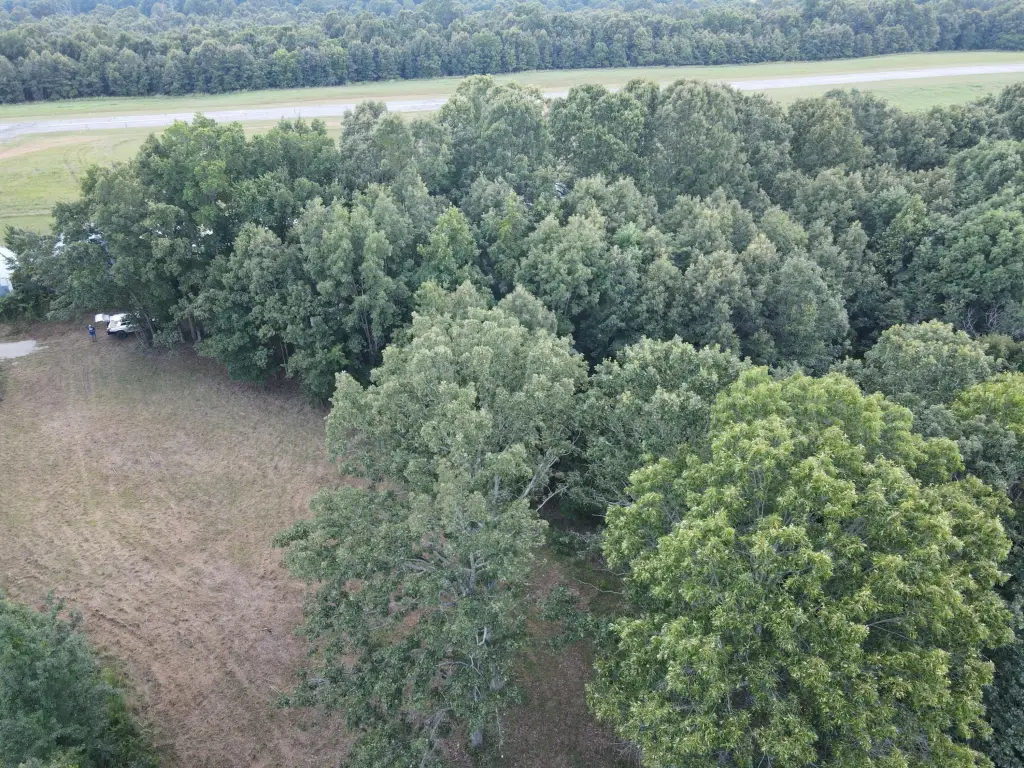
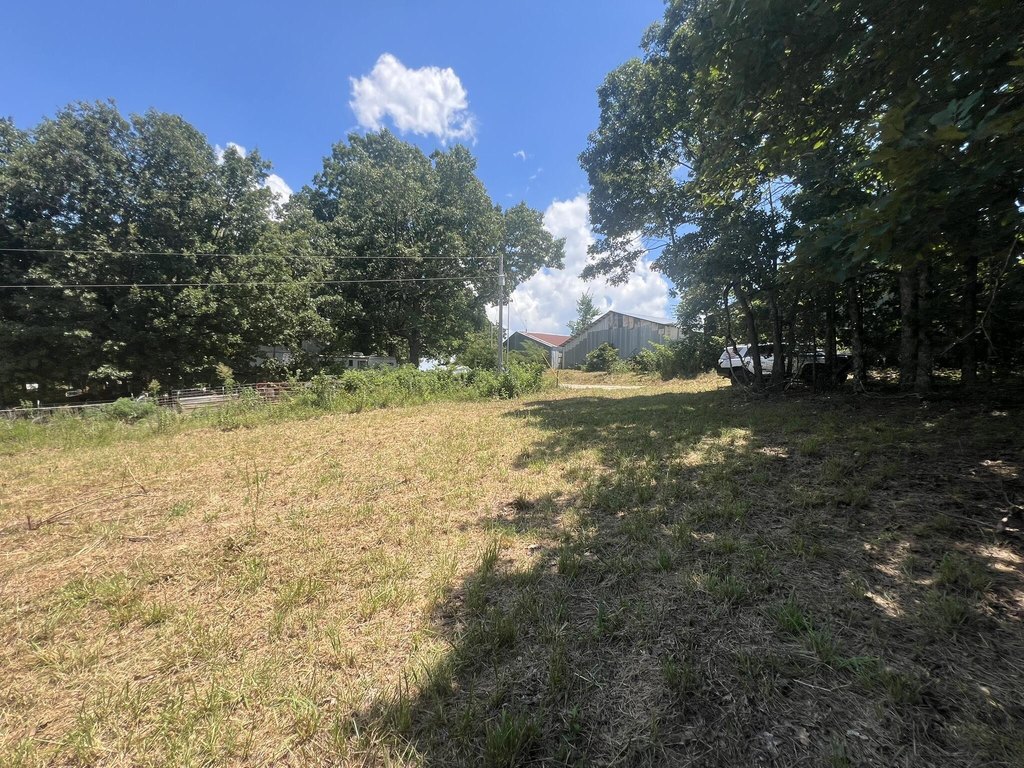
This wooded land tract borders the City-owned Thayer Memorial Airport in Thayer, Missouri. The terrain slopes gently from the airport boundary and rises again toward the northern boundary, with several potential building areas and a small cleared section near the electric service area. Perimeter fencing marks the property lines, although the existing fence is no longer suitable for containing livestock.
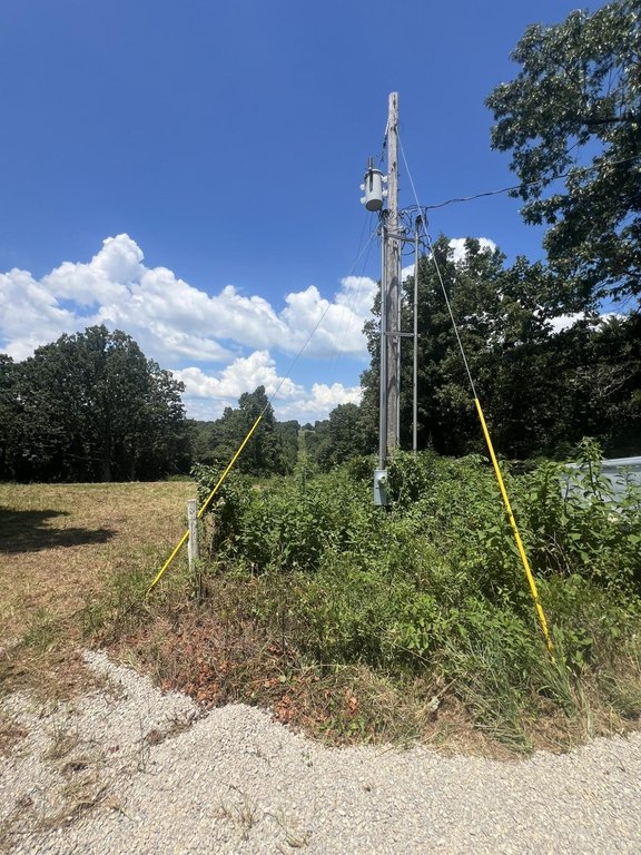
Electric service lines run parallel to the eastern boundary for approximately 200 feet inside the property line and continue along its quarter-mile length. Two easements enter at the southeast corner, including a county-road route leading toward the airport office and hangar area and a City of Thayer easement with new chat surfacing. The public airport has an asphalt runway measuring 4,200 feet by 50 feet.
Electric service lines run parallel to the eastern boundary for approximately 200 feet inside the property line and continue along its quarter-mile length. Two easements enter at the southeast corner, including a county-road route leading toward the airport office and hangar area and a City of Thayer easement with new chat surfacing. The public airport has an asphalt runway measuring 4,200 feet by 50 feet.
Key Highlights
- Borders Thayer Memorial Airport, a City‑owned airport open to the public
- 39.54 acres with mostly wooded terrain and gently rolling topography
- Electric service lines run parallel to the eastern boundary for approximately 200 feet
Property Analytics
Current Use
Lease Details
Yes
Fenced yard
Yes
Paved road access
Location Intelligence
Trade Area within ½ mile
2
Businesses Nearby
Explore this area
Business Placement
Demographics for 65791, MO
4,085
Population
1,904
Households
2.1
Avg Household Size
44
Median Age
18%
College-Educated
86%
High-School Grad
152.8 sq mi
ZIP Area
27
Density / Sq Mi
$43,614
Median Household Income
$30,594
Median Earnings
$660
Median Rent
$110,200
Median Home Value



Frequently Asked Questions
What type of property is this?
Land - Wooded property with electric service and access easements adjoining a public airport.
Where is this land located?
The property is located at County Road 359 Thayer, MO.
What is the asking price?
The asking price for this property is $149,900.
What are key features of this property?
This property features: Borders Thayer Memorial Airport, a City‑owned airport open to the public; 39.54 acres with mostly wooded terrain and gently rolling topography; Electric service lines run parallel to the eastern boundary for approximately 200 feet


