Wyoming Land Near Fort
For Sale
$238,800
County Road 347, Fort Steele, WY 82301
Land, Fort Steele, WY
Property SizeContact for details
Lot Size155.46 Acres
Days on Market291
Property Features for County Road 347
General Information
Property type
Land
Property subtype
Other
Zoning description
Agricultural
View
River
Standard status
Active
APN
21852610002000
Lot size
155.46 Acres
Listing Agency:
Great Plains Land Co.
(405) 255-0051
Listed By:
Ethan Janicki
(405) 623-1591
Added: Jan 13
Changed: Sep 4
Last Checked: Oct 31 at 1:06PM
MLS# 11631134
Copyright © 2026 My State MLS. All rights reserved. All information provided by the listing agent/broker is deemed reliable but is not guaranteed and should be independently verified.

Ask AI about this property
Review the available facts, identify missing information and prepare questions for the agent.
Investment Insights
Based on property information with market context.
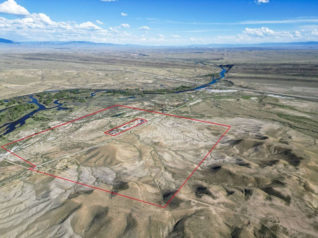
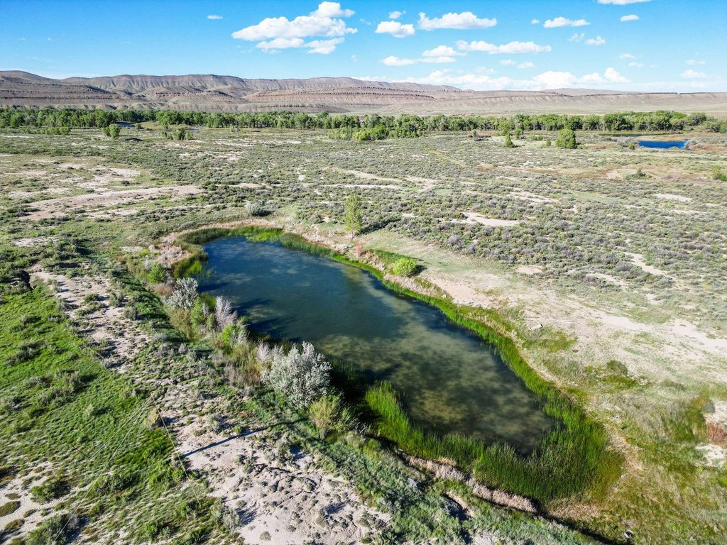
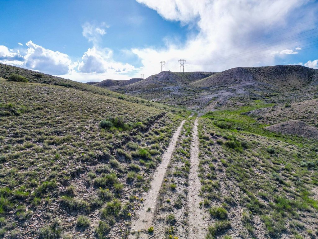
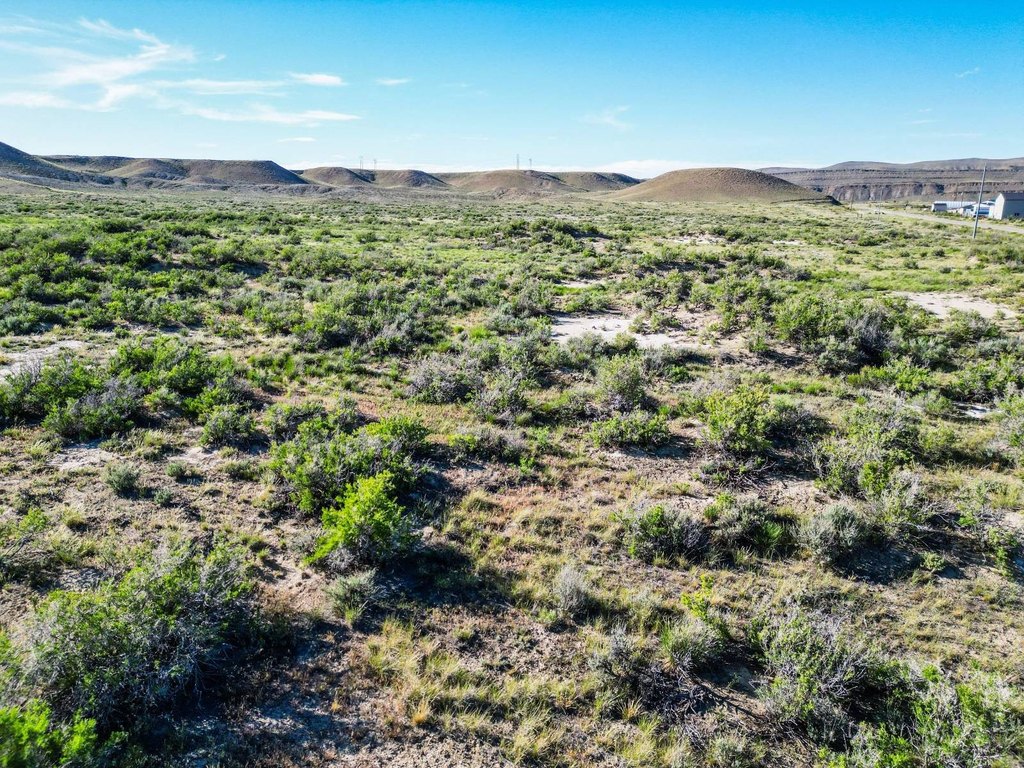
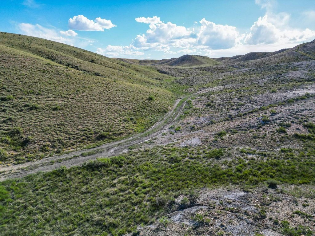
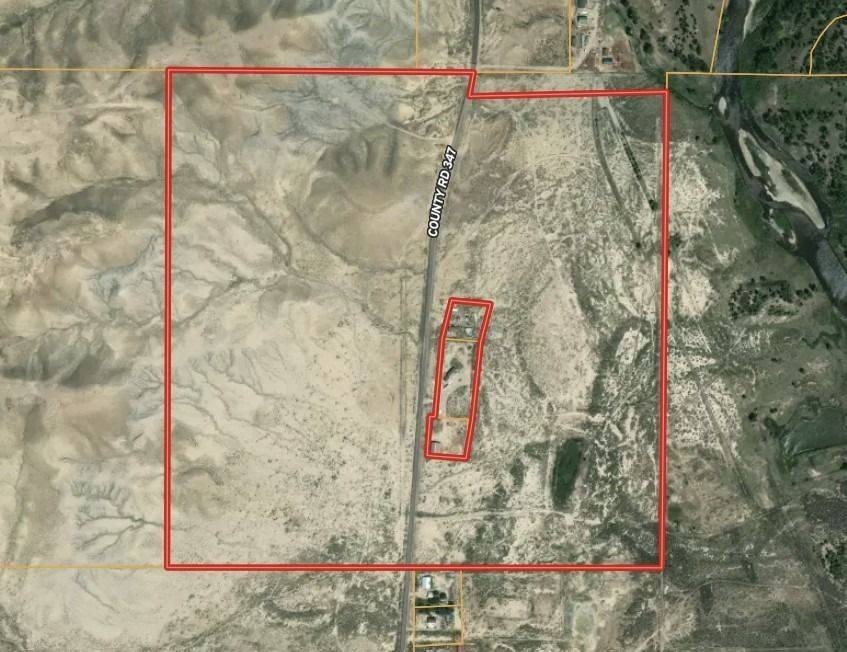
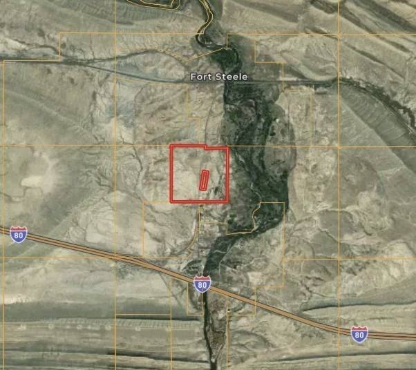
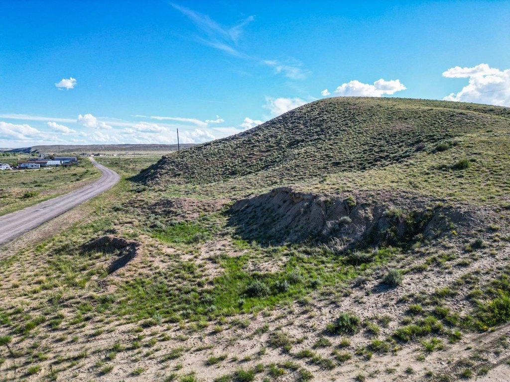
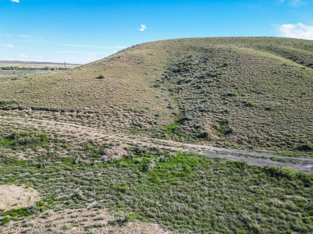
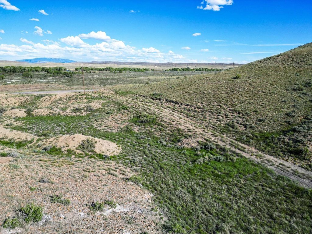
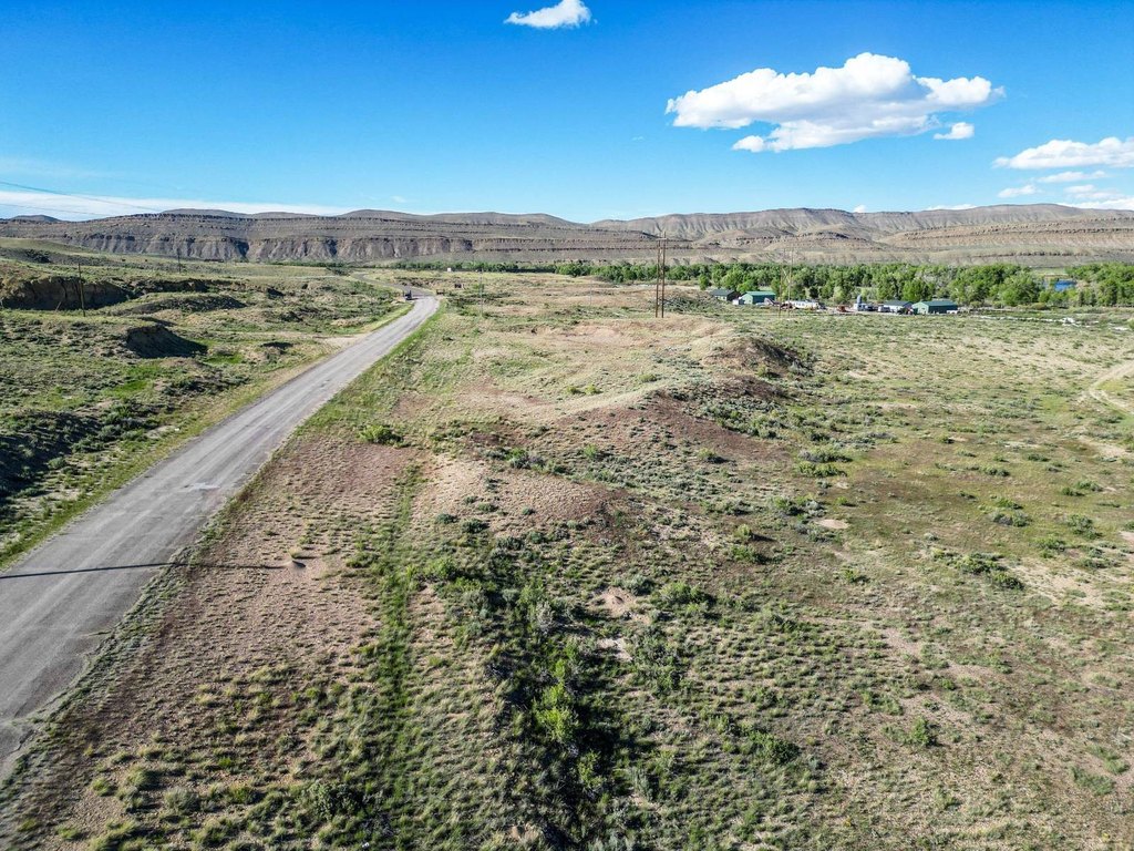
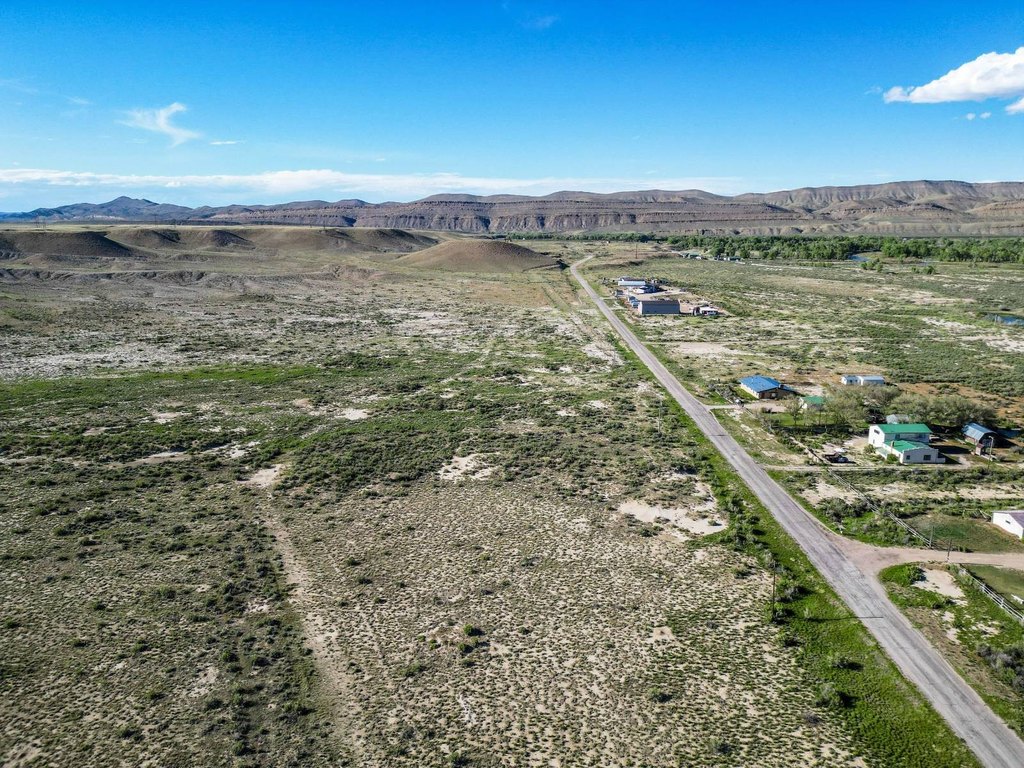
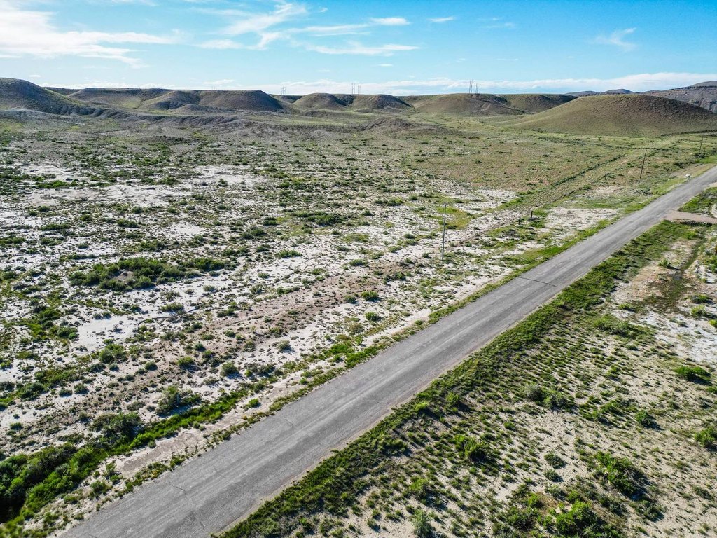
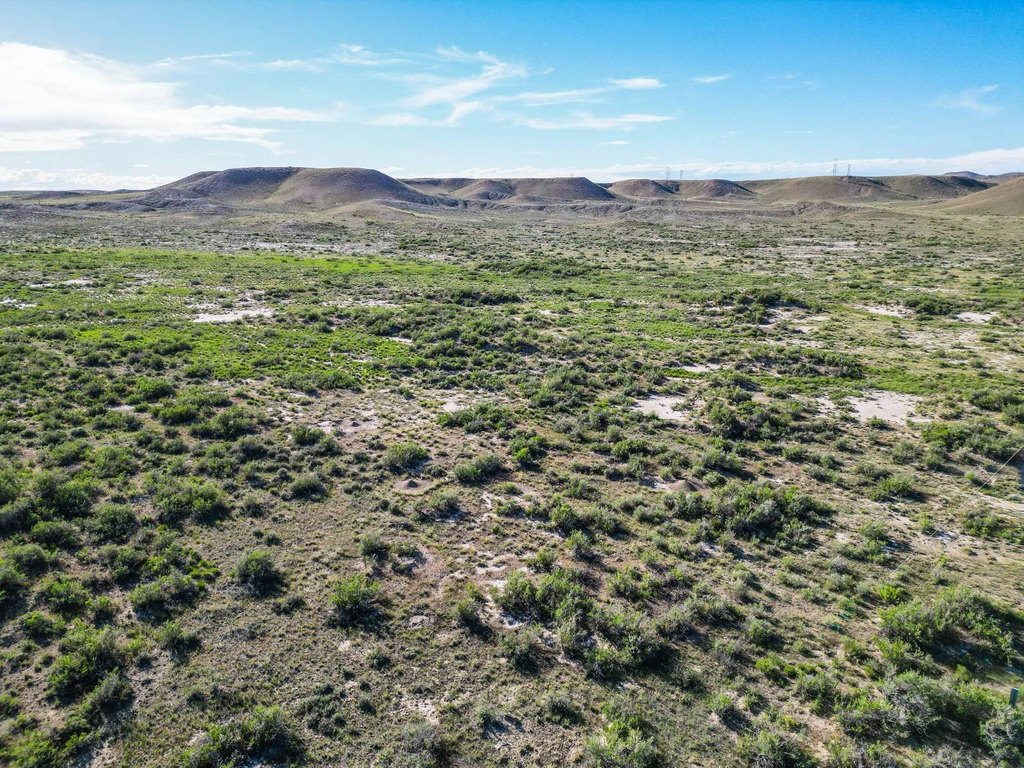
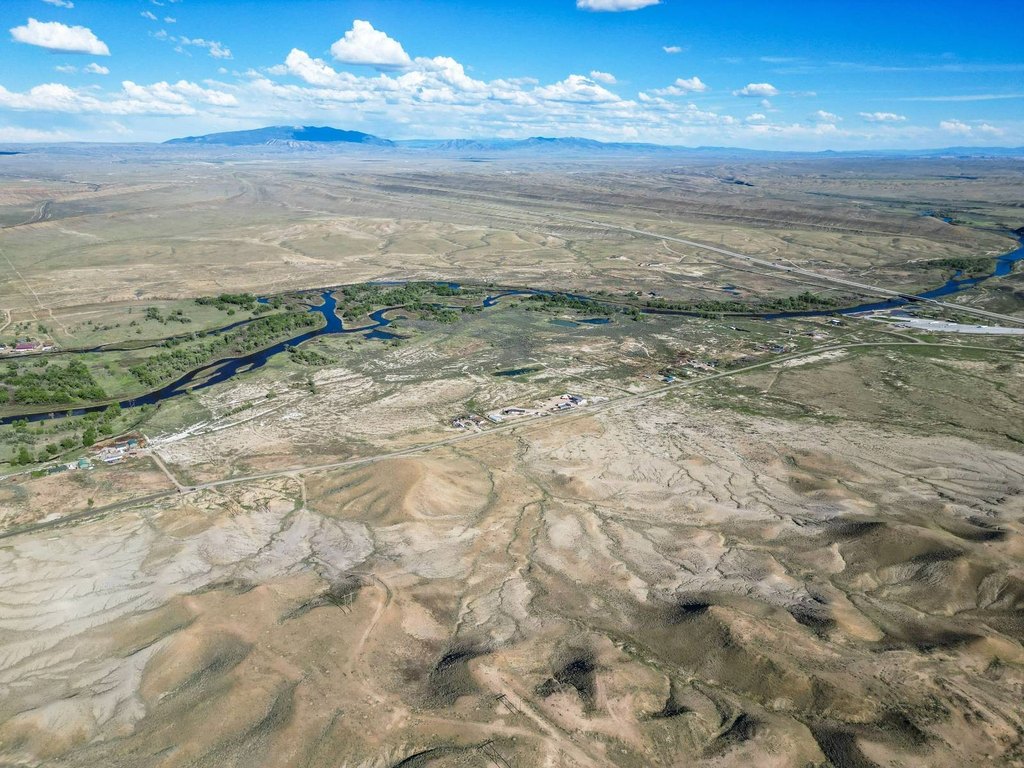
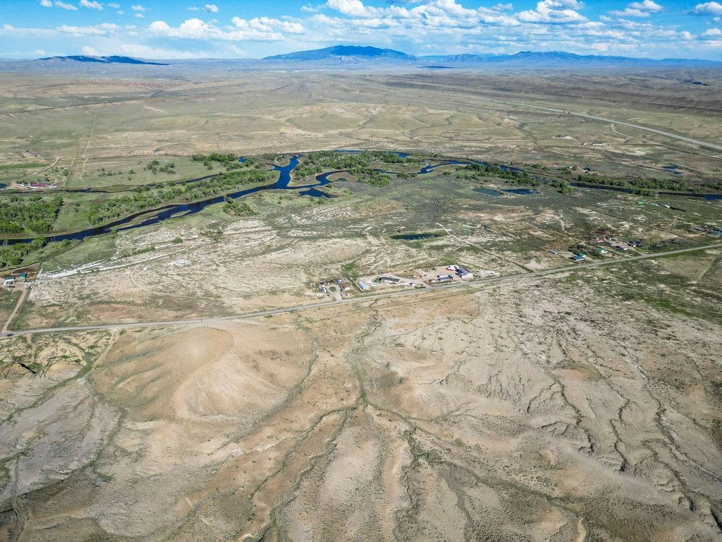
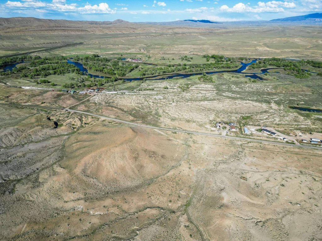
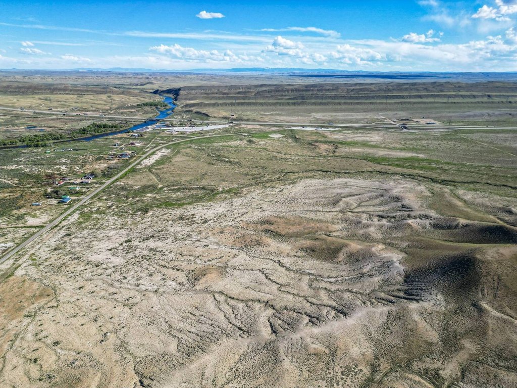
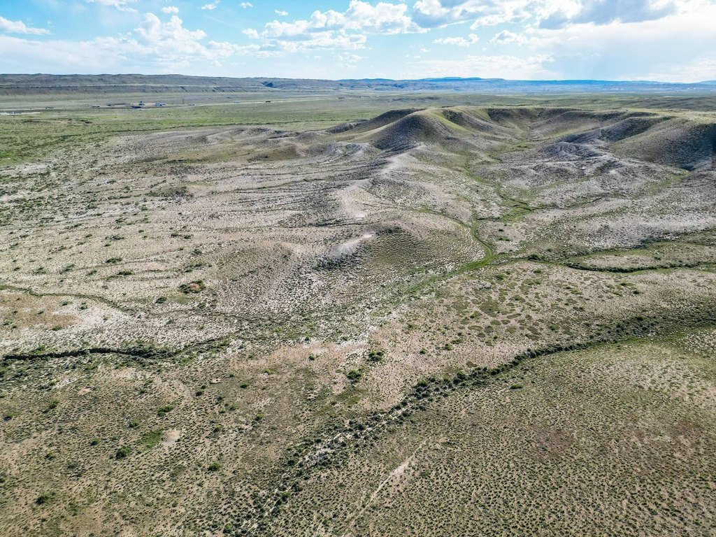
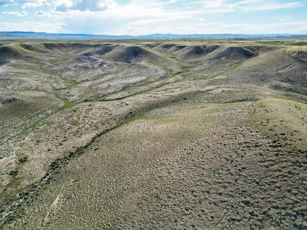
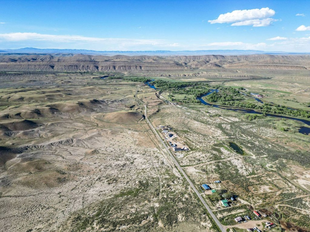
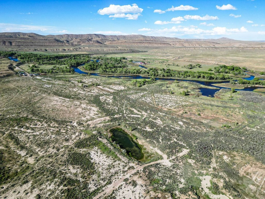
This 155.46-acre land parcel in Carbon County offers an open rural setting near Fort Steele. County Road 347 crosses the property from north to south, while power lines follow the roadway. The parcel is positioned approximately half a mile from Interstate 80 and includes views across the North Platte River valley and surrounding high plains landscape.
The northern boundary adjoins the Fort Steele Historic Site, and 240 acres of BLM public land border the western side. The North Platte River—Fort Steele/Rochelle Public Access Area is located across the highway. Sinclair is approximately 10 minutes away, and Rawlins is approximately 20 minutes away. A recently completed survey is available upon request. Buildings shown in marketing materials are excluded from the property.
The northern boundary adjoins the Fort Steele Historic Site, and 240 acres of BLM public land border the western side. The North Platte River—Fort Steele/Rochelle Public Access Area is located across the highway. Sinclair is approximately 10 minutes away, and Rawlins is approximately 20 minutes away. A recently completed survey is available upon request. Buildings shown in marketing materials are excluded from the property.
Key Highlights
- 155.46 acres in Carbon County near Fort Steele
- Approximately 0.5 mile from Interstate 80
- County Road 347 crosses the property from north to south
Property Analytics
Who owns this building?
See the owner, sales and loan history
Open Analytics
Lease Details
Yes
Highway access
Yes
Paved road access
Location Intelligence
Trade Area within ½ mile
2
Businesses Nearby
Explore this area
Business Placement
Demographics for 82301, WY
8,539
Population
4,108
Households
2.1
Avg Household Size
37
Median Age
18%
College-Educated
91%
High-School Grad
933.4 sq mi
ZIP Area
9
Density / Sq Mi
$68,925
Median Household Income
$40,964
Median Earnings
$833
Median Rent
$208,000
Median Home Value
Check the figures for this property
Cap Rate, Value Estimation, Potential NOI and more
View Realmo Analytics
Frequently Asked Questions
What type of property is this?
Land - Rural acreage with highway access, a county road crossing, and power lines along the property.
Where is this land located?
The property is located at County Road 347 Fort Steele, WY.
What is the asking price?
The asking price for this property is $238,800.
What are key features of this property?
This property features: 155.46 acres in Carbon County near Fort Steele; Approximately 0.5 mile from Interstate 80; County Road 347 crosses the property from north to south