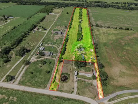
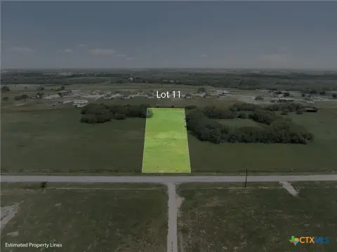
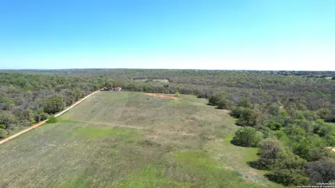
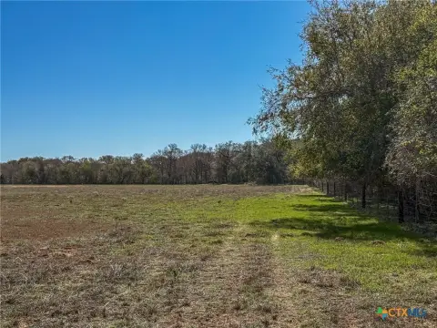
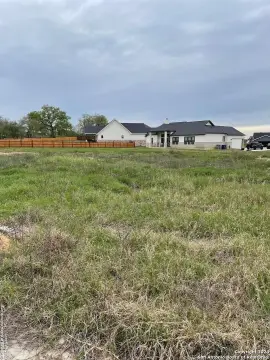
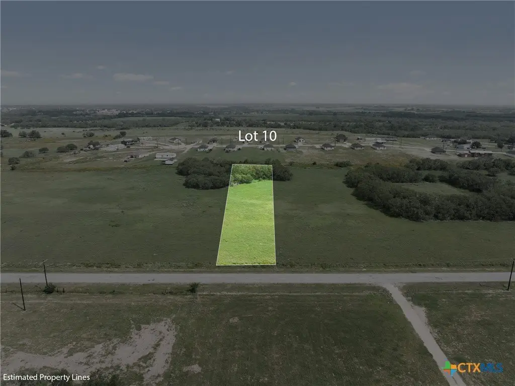
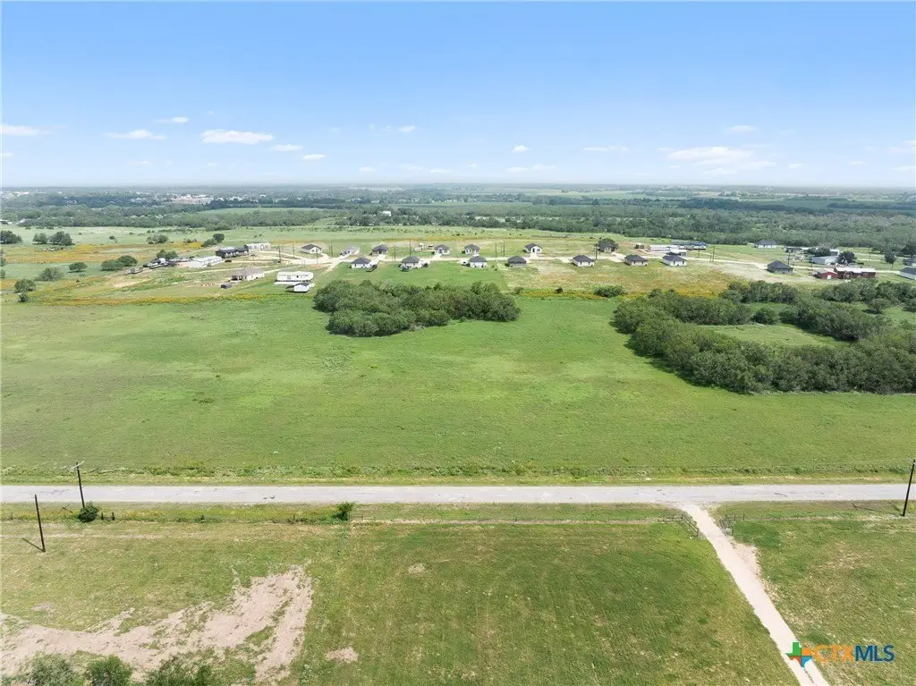
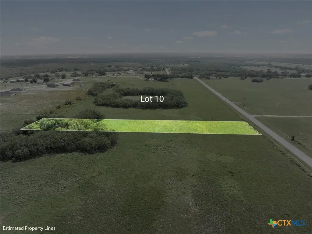
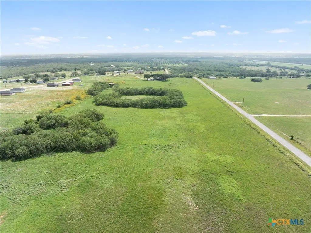
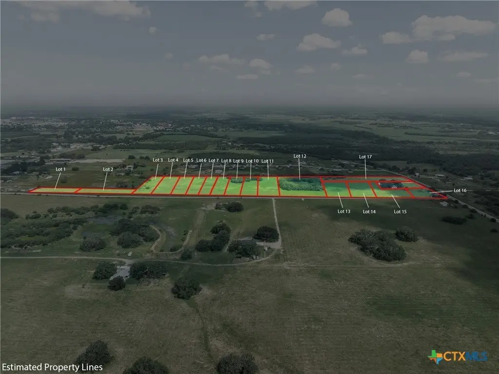
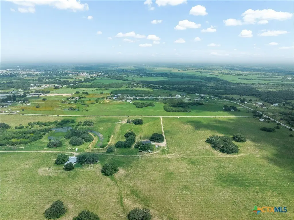
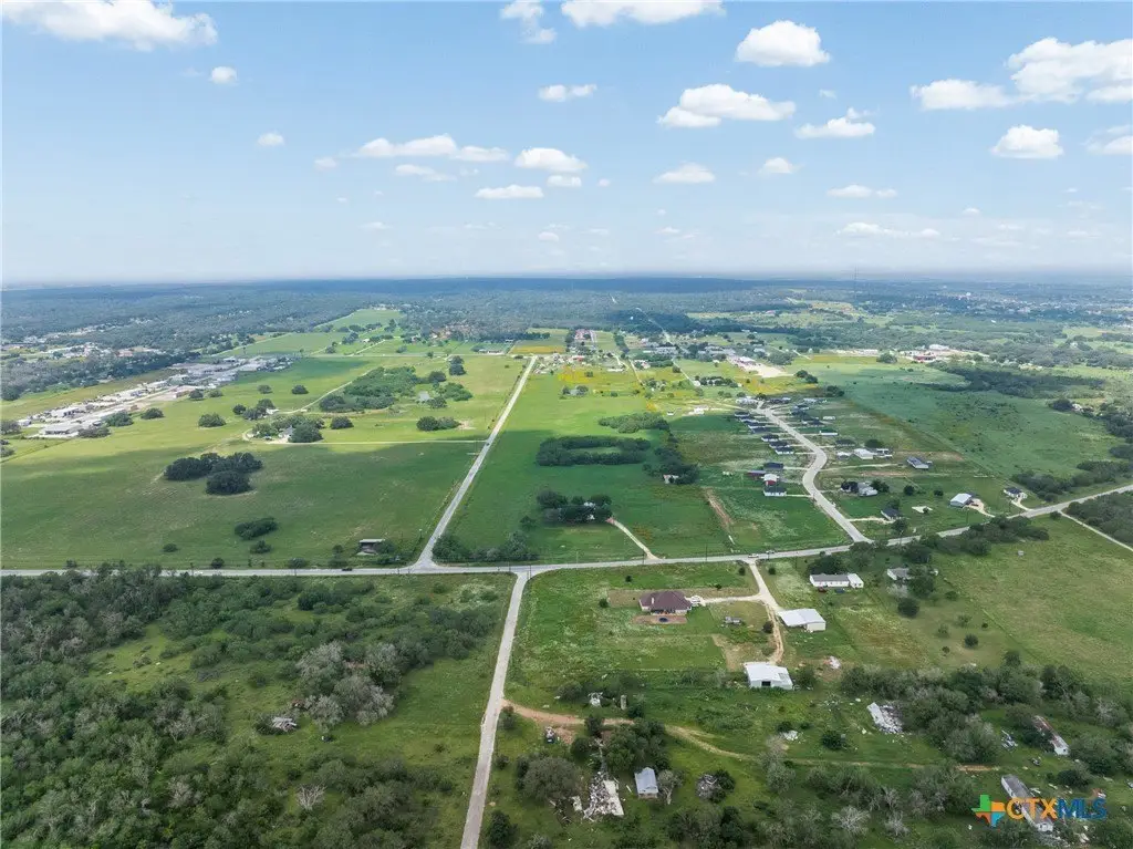
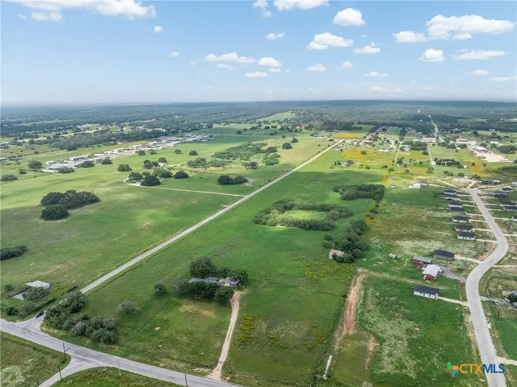
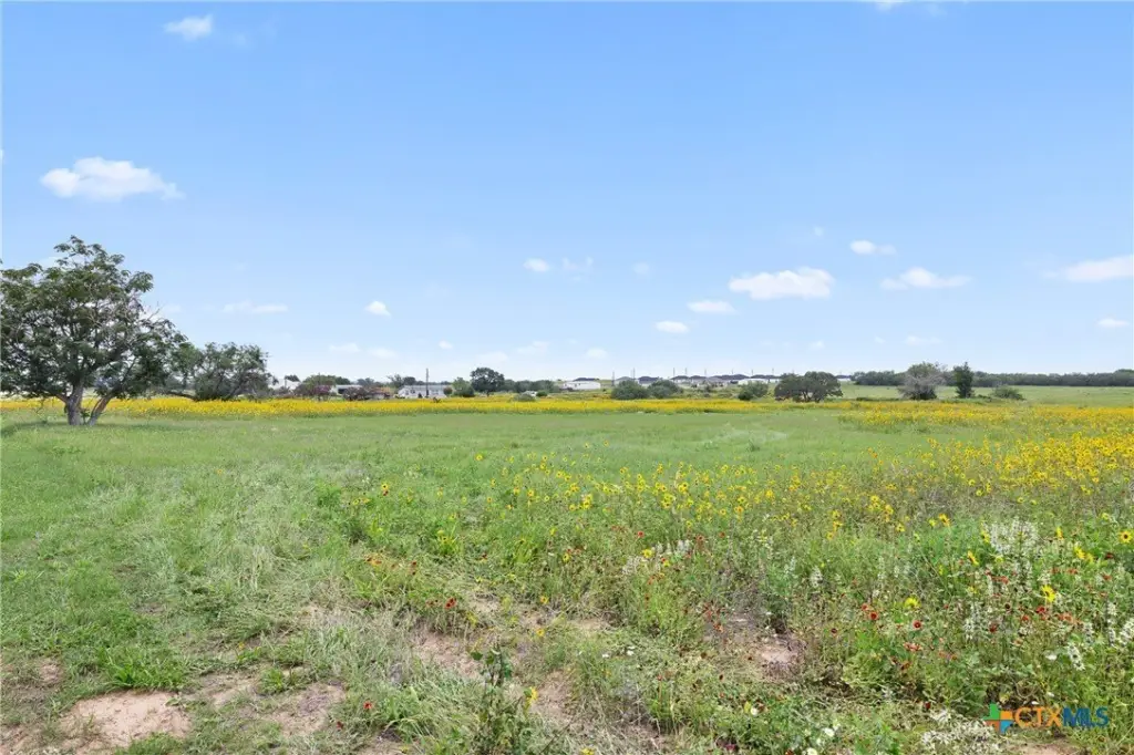
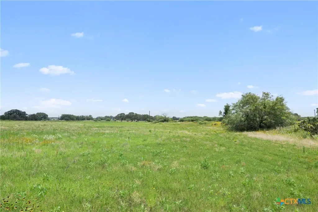
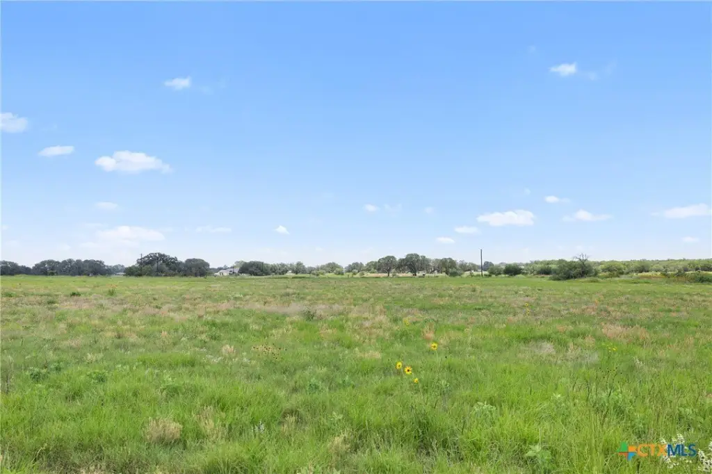
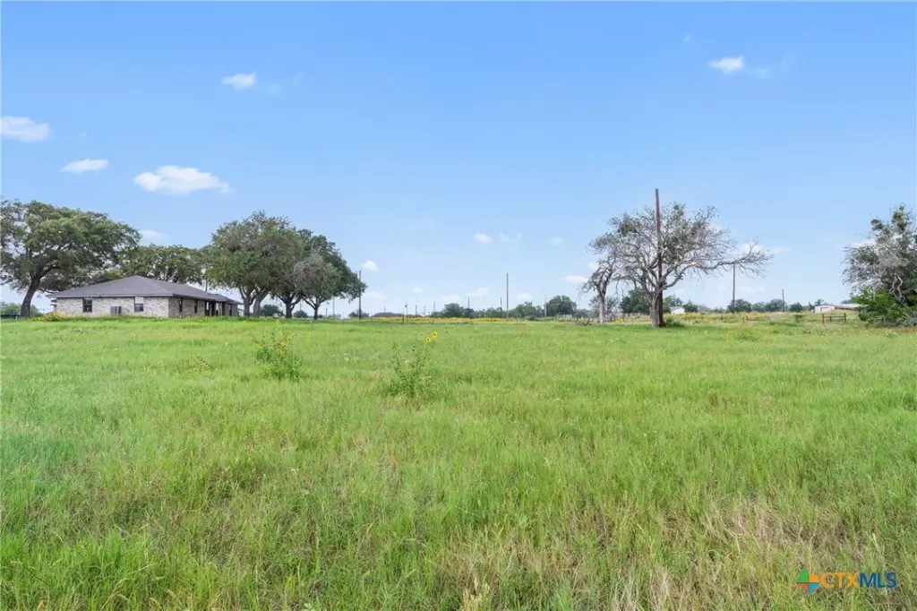
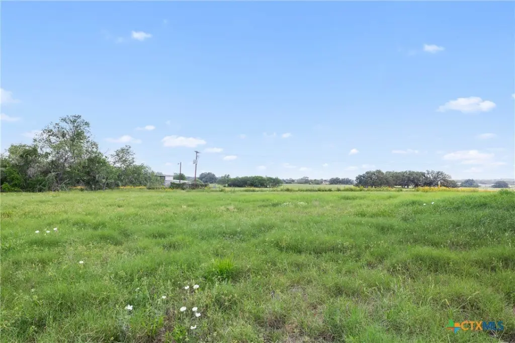
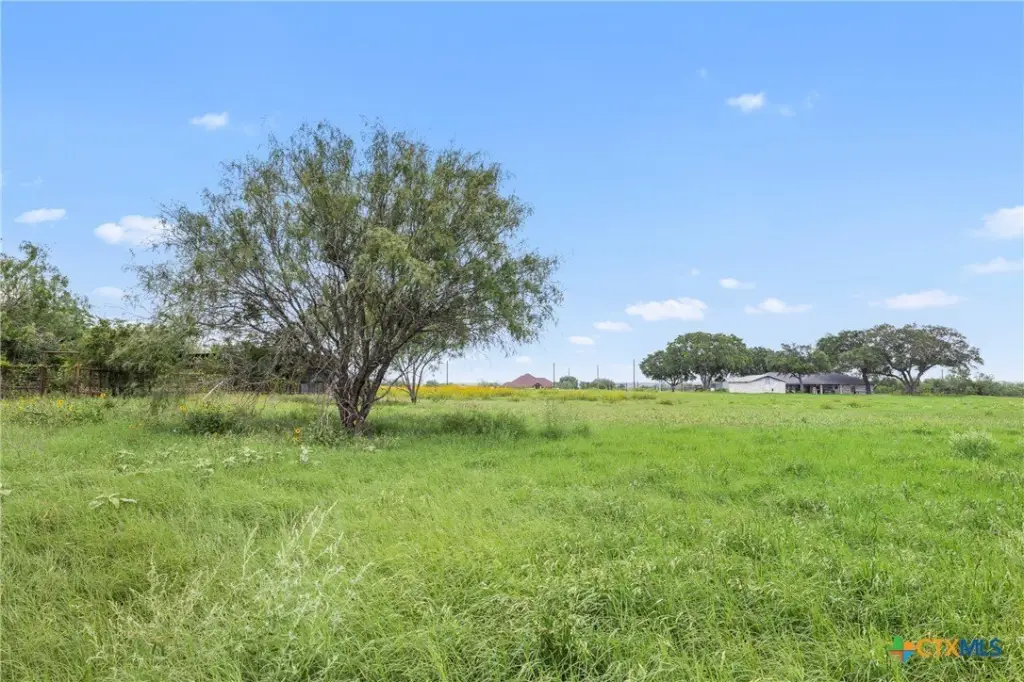
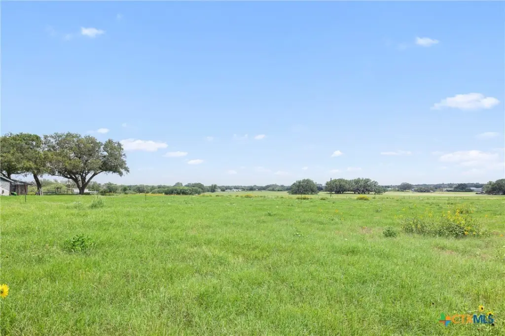
County Road 342 lot 10, La Vernia, TX 78121
- Added:
- Jun 22, 2026
- Days on Market:
- 4
- Last Refresh:
- Jun 25 at 4:06 pm
Property Features for County Road 342 lot 10
General Information
- Property type
- Land
- Property subtype
- Other
- Standard status
- Active
- APN
- tbd02
- Lot size
- 1.28 Acres
Taxes and HOA fees
- Tax Year
- 2025
- Tax Description
- A0008 J DELGADO SUR, TRACT 30 (U-1), ACRES 1.281
Utilities
- Sewer type
- Septic Needed
- Water source
- Public
Listing agent Maemie Williams License #0755316 (512) 787-3433
Listing office Land Unlimited 115A N Commerce St, Lockhart, TX (512) 729-7139
Listing date Jun 22, 2026
Copyright © 2026 Central Texas Multiple Listing Service. All rights reserved. All information provided by the listing agent/broker is deemed reliable but is not guaranteed and should be independently verified.
HighLights
- 1.281‑acre lot in the La Vernia area with no restrictions reported in the listing
- Public water available through SS Water Supply Corporation
- Electric available through Floresville Electric Light & Power Systems
- Sewer: septic needed (no public sewer noted)
- Owner financing offered with 10% down (terms not detailed)
- Buyer to verify acreage, restrictions, zoning, utilities, access, surveys, floodplain, schools, taxes, and feasibility
Overview
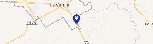
The property is located in Wilson County near La Vernia, with proximity to Floresville and San Antonio also referenced in the remarks. The listing address is shown as County Road 342 lot 10, La Vernia, TX 78121. The seller encourages buyers to verify access and all local requirements during their due diligence process.
For buyers seeking a land parcel with utilities identified and straightforward flexibility for residential and light agricultural-type uses, this tract provides a practical starting point. Owner financing is mentioned, but buyers should confirm all terms and requirements as part of their process and conduct independent verification of zoning, floodplain conditions, and utility servicing details.
Current Use by Public Records
Map
- City
- La Vernia
- County
- Wilson
- State
- Texas
- Longitude
- -98.074532
- Latitude
- 29.310002