County Road 33, Eads, CO 81036
- Added:
- Feb 5, 2026
- Days on Market:
- 153
- Last Refresh:
- Jul 8 at 3:06 pm
Property Features for County Road 33
General Information
- Property type
- Land
- Property subtype
- Other
- Standard status
- Active
- Lot size
- 640.00 Acres
Listing agent Daniel Hunning (405) 623-1591
Listing office Great Plains Land Co. 501 N. Walker Ave., Suite 100, Oklahoma City, CO (405) 255-0051
Listing date Feb 5, 2026
Copyright © 2026 My State MLS. All rights reserved. All information provided by the listing agent/broker is deemed reliable but is not guaranteed and should be independently verified.
HighLights
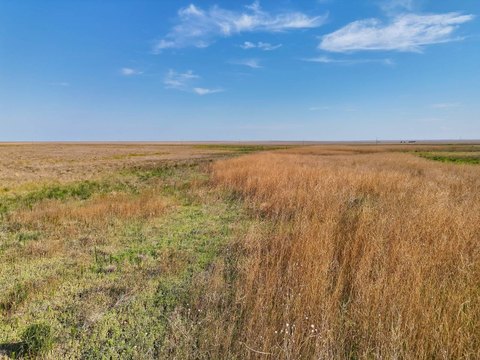
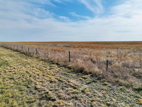
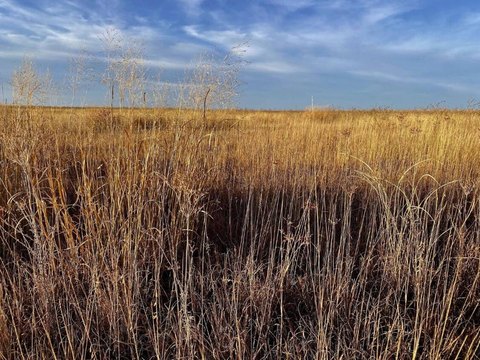
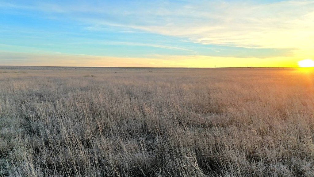
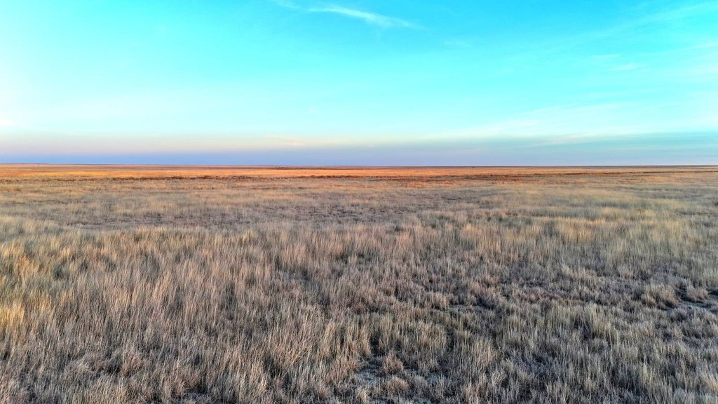
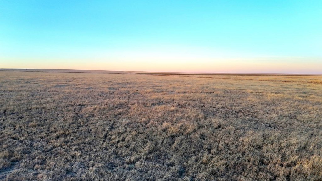
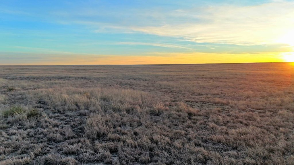
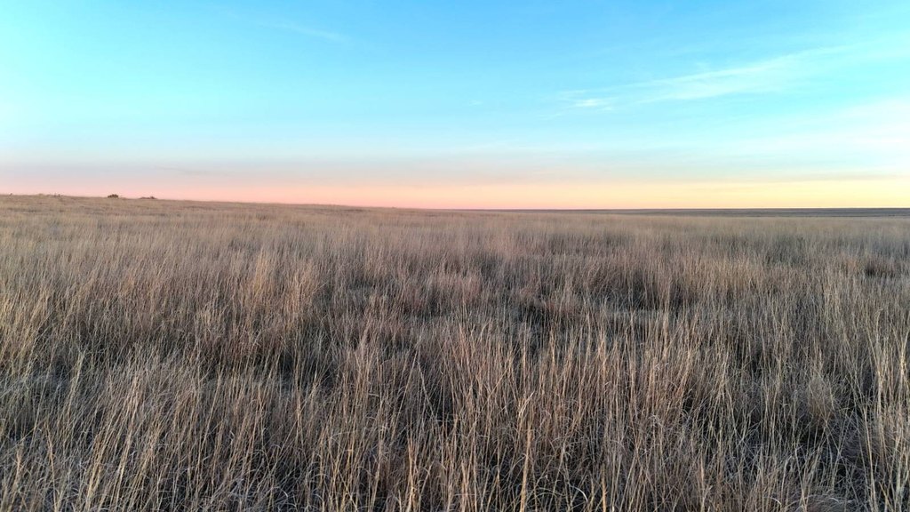
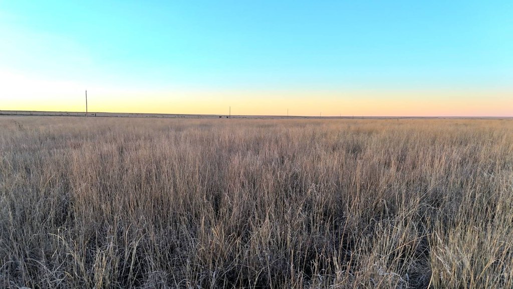
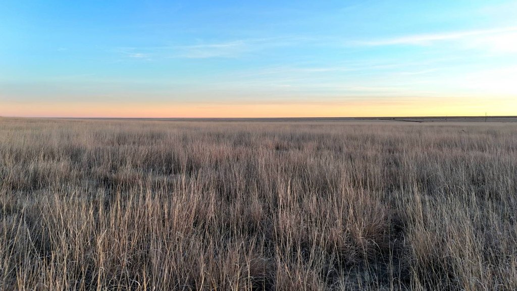
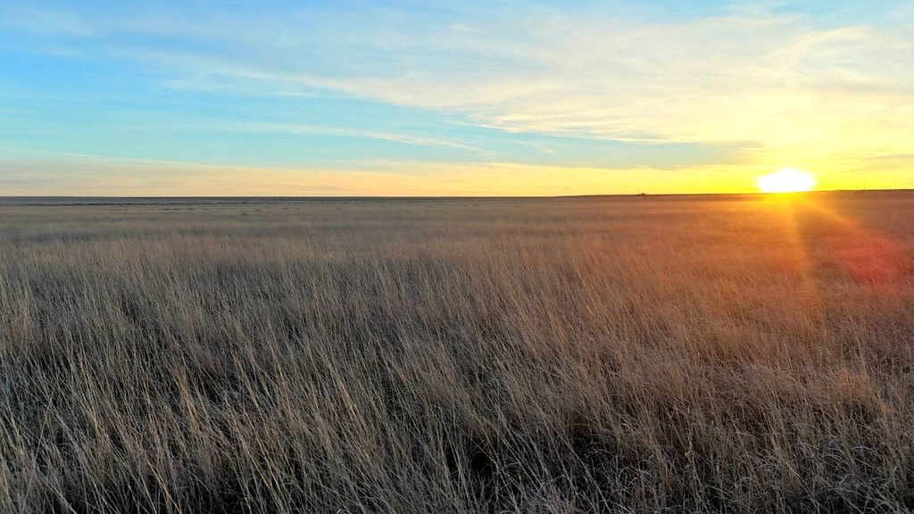
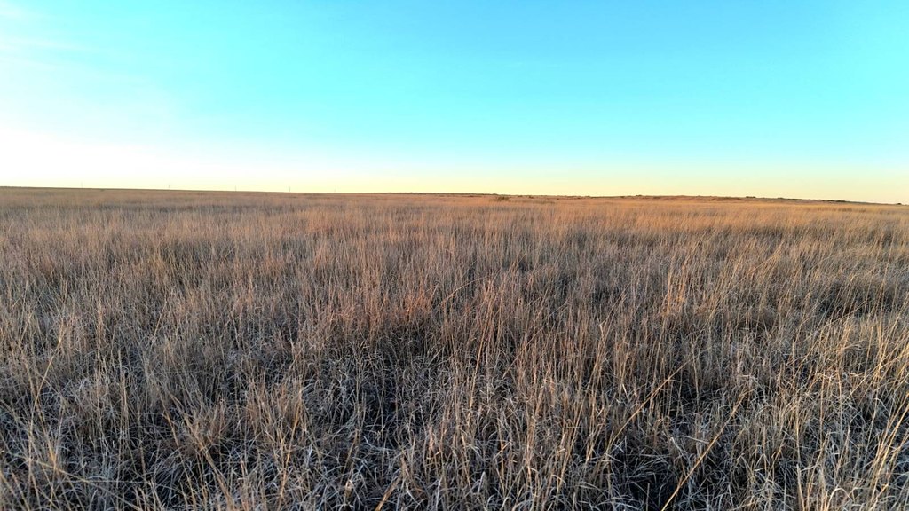
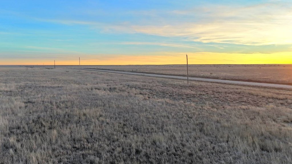
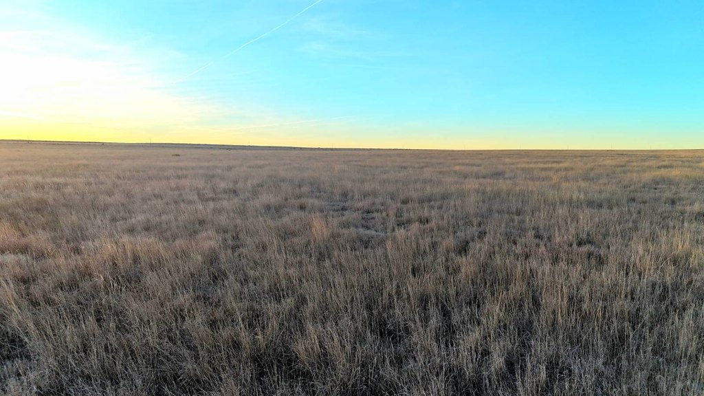
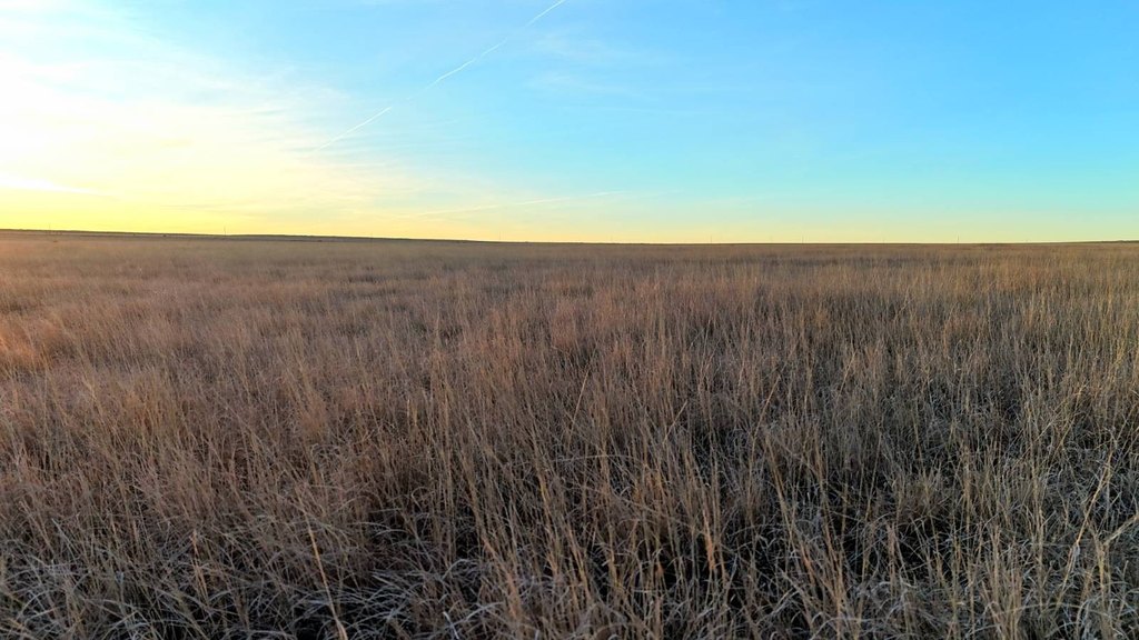
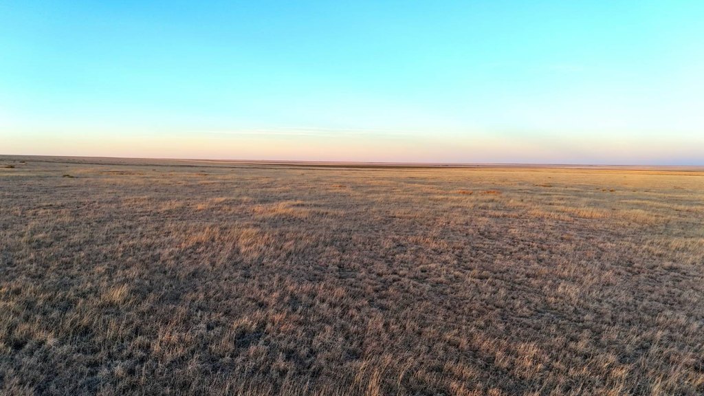
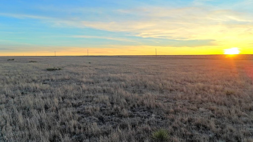
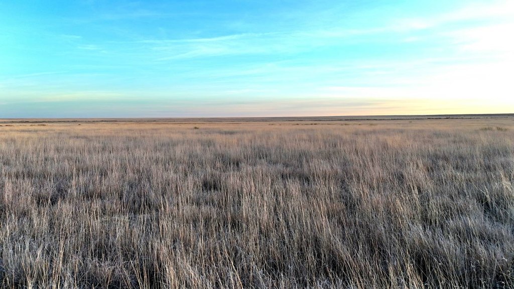
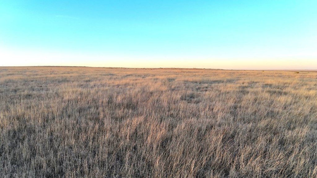
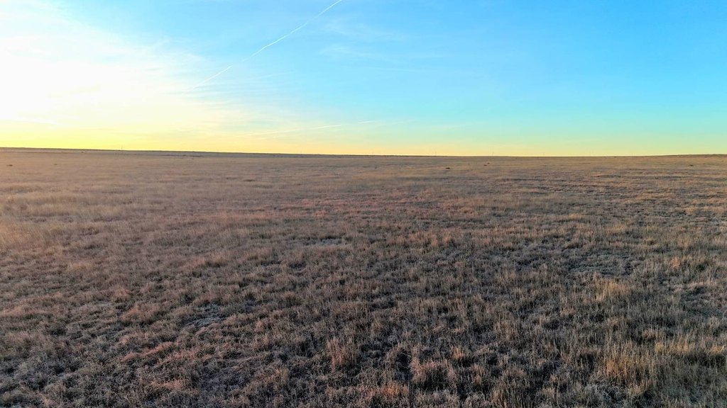
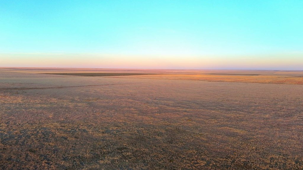
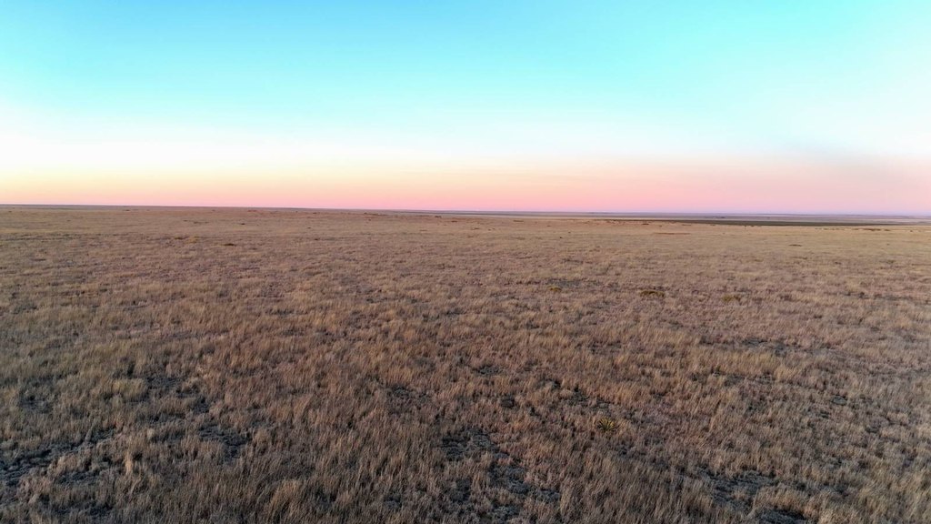
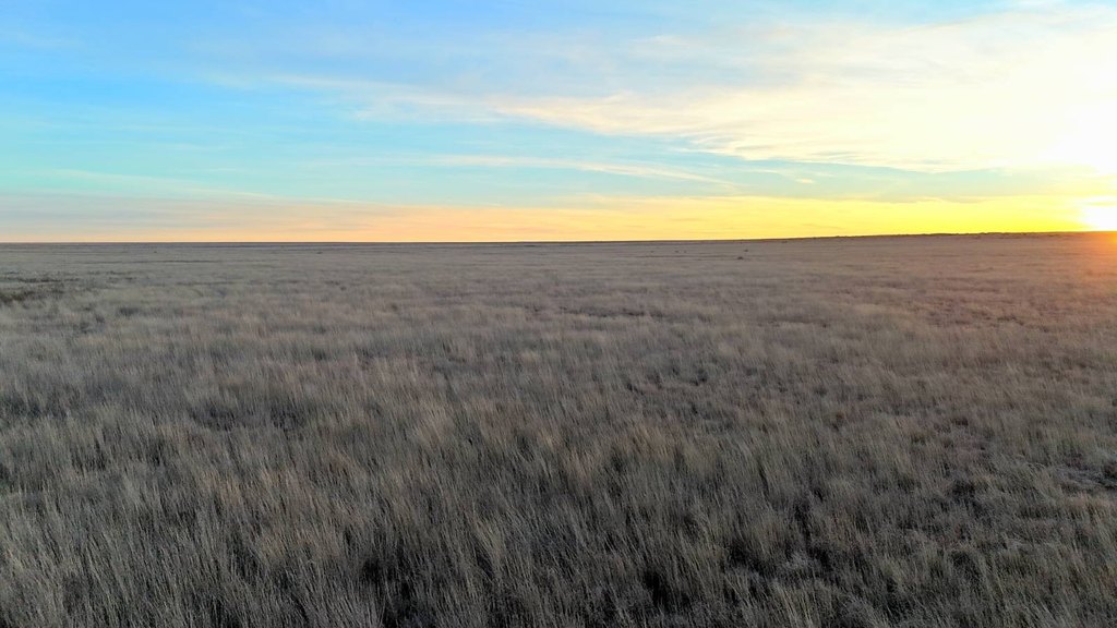
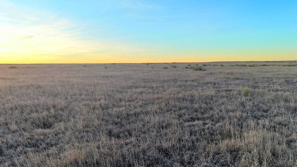
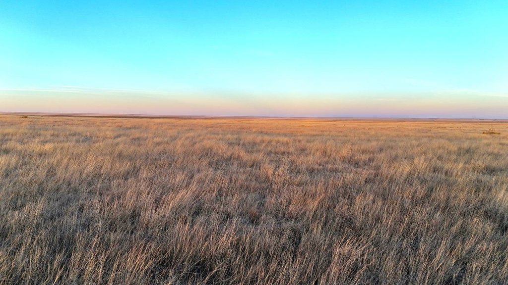
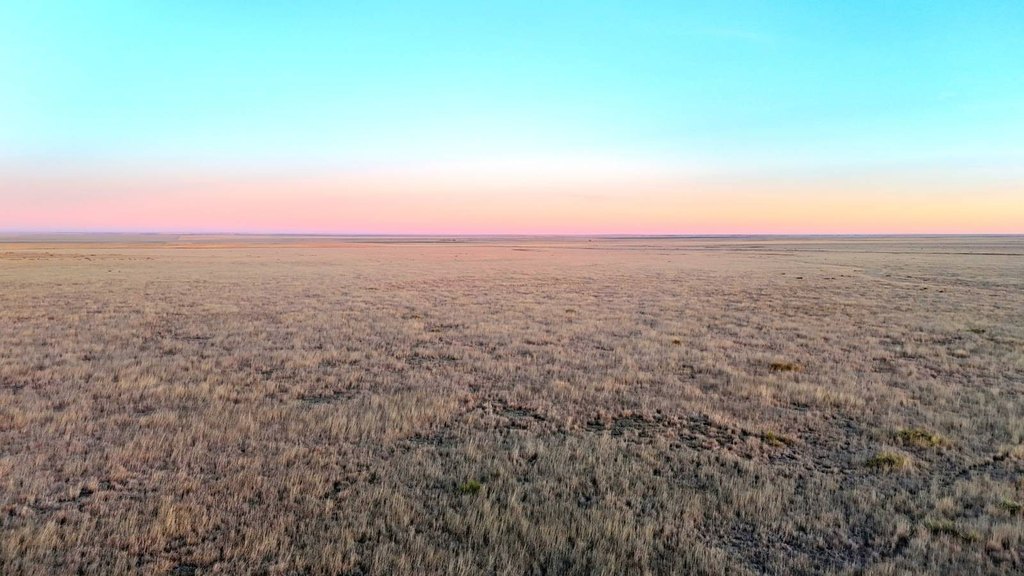
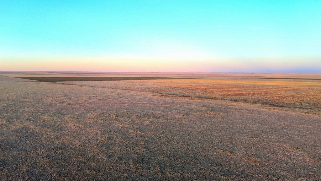
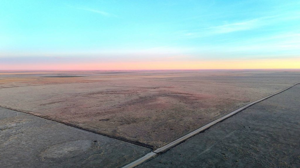
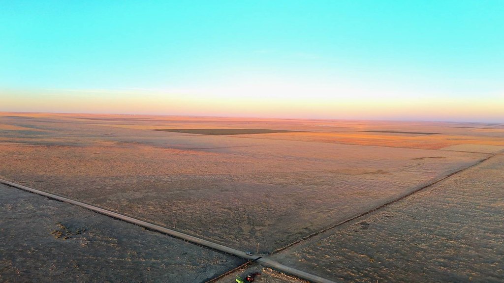
- CRP‑enrolled farm & hunting land in Kiowa County, CO (Sec 9, T20S, R49W)
- CRP contract runs until 2032 with annual payment of about $11,684
- Mostly level Class IV soils, with option to return to cropland after the CRP expires in 2032
- Bordering crops include wheat, milo, and millet
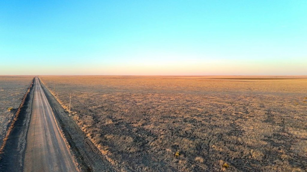
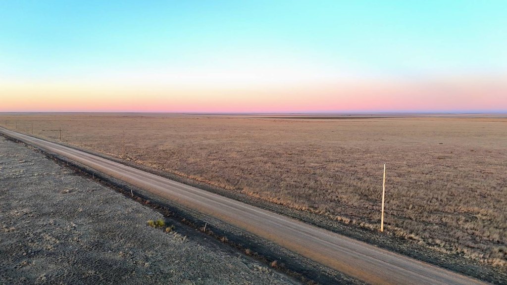
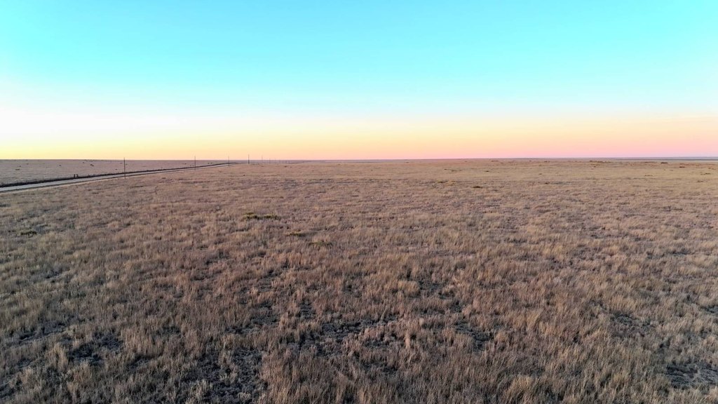
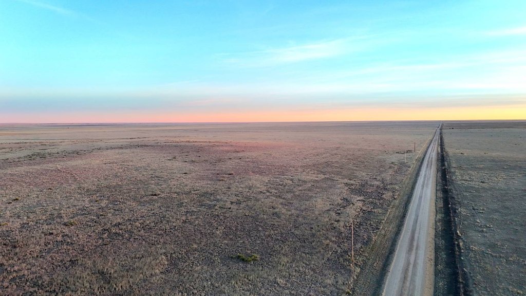
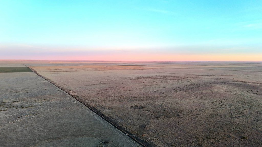
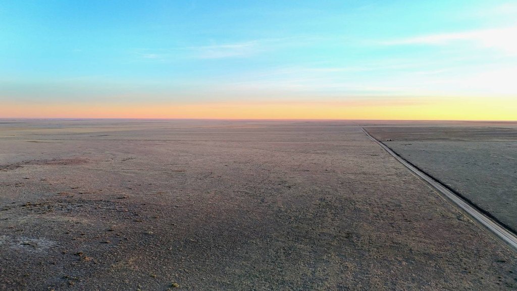
- Maintained county road frontage with short access to paved Highway 96 & Eads, CO
- Big Game Management Unit 126 with deer and antelope voucher eligibility; hunting includes deer, pronghorn, and small game
Overview
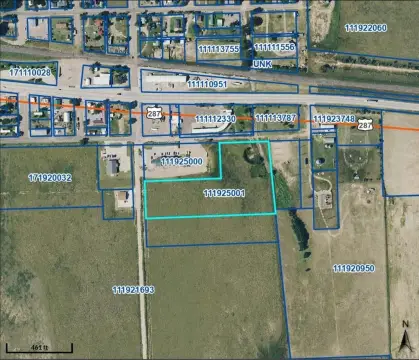
The property is located in Kiowa County, Colorado, with maintained county road frontage providing straightforward access to the site. It is a short distance from paved Highway 96 and the community of Eads. The land has previously been leased for wind development, and it is described as being only a short distance from the Colorado Power Pathway project.
For recreation, the parcel lies in Big Game Management Unit 126 and qualifies for deer and antelope vouchers in the Colorado Parks & Wildlife Landowner Preference Program. Hunting opportunities listed for the property include deer, pronghorn, and small game. Overall, the combination of a continuing CRP contract, accessible country roads, and documented hunting eligibility can make this an appealing fit for buyers seeking a working landholding with on-site outdoor use. Showings are by appointment only—contact the Land Professional for details or to schedule a viewing.
Current Use by Public Records
Map
- City
- Eads
- County
- Kiowa
- State
- Colorado
- Longitude
- -102.9137
- Latitude
- 38.3322