Hunting Land Tract with Wooded
CR 262 Mc Caulley, TX 79534
CR 262, Mc Caulley, TX, 79534
$446,145
For Sale
$446,145
LAND - McCaulley, TX
Lot Size182.10 Acres
Days on Market132
Property Features for CR 262
General Information
- Property type
- Land
- Property subtype
- Other
- Standard status
- Active
- APN
- 4188
- Lot size
- 182.10 Acres
Taxes and HOA fees
- Tax Annual Amount
- 140
Listing agency
EKDAHL REAL ESTATE
(325) 773-3676
Listed by
Daniel Byerly · License #0726832
(325) 773-3676
Added: Mar 13 Updated: Jun 3 at 12:56PM Checked: Jul 22 at 5:06AM
MLS# 21207775
Copyright © 2026 North Texas Real Estate Information Systems, Inc. All rights reserved. All information provided by the listing agent/broker is deemed reliable but is not guaranteed and should be independently verified.
Investment Insights
Based on property information with market context.
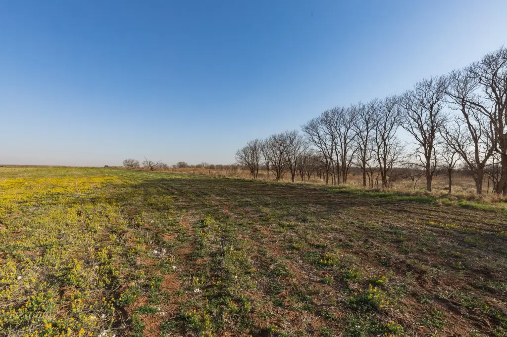
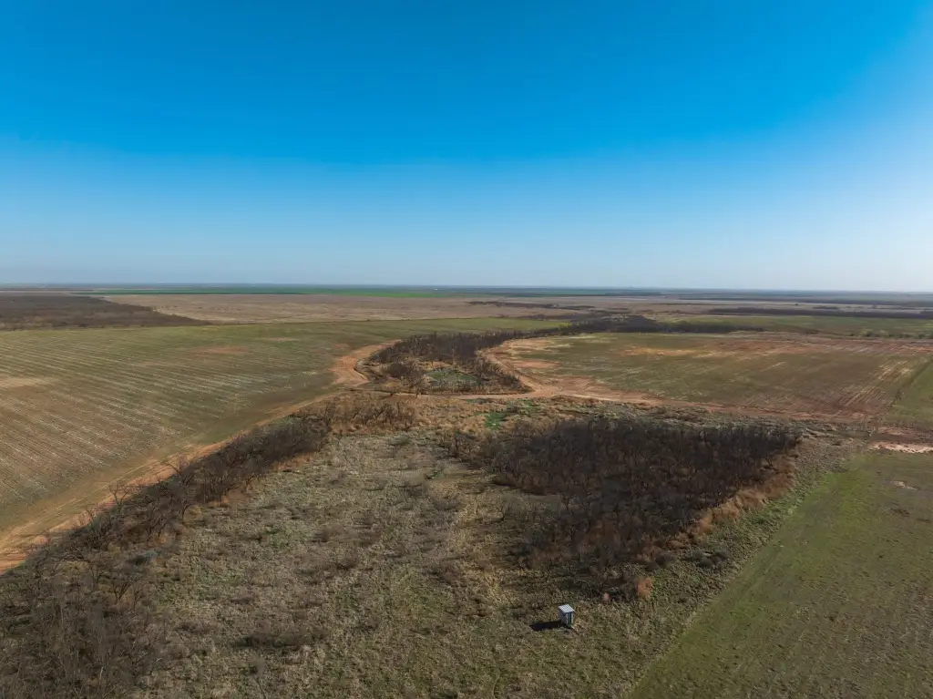
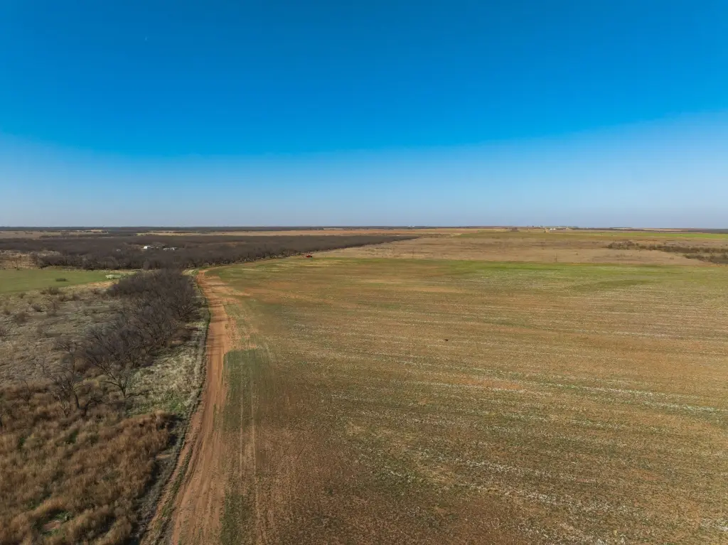
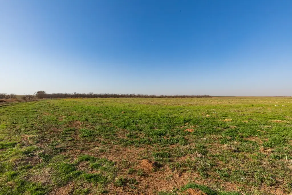
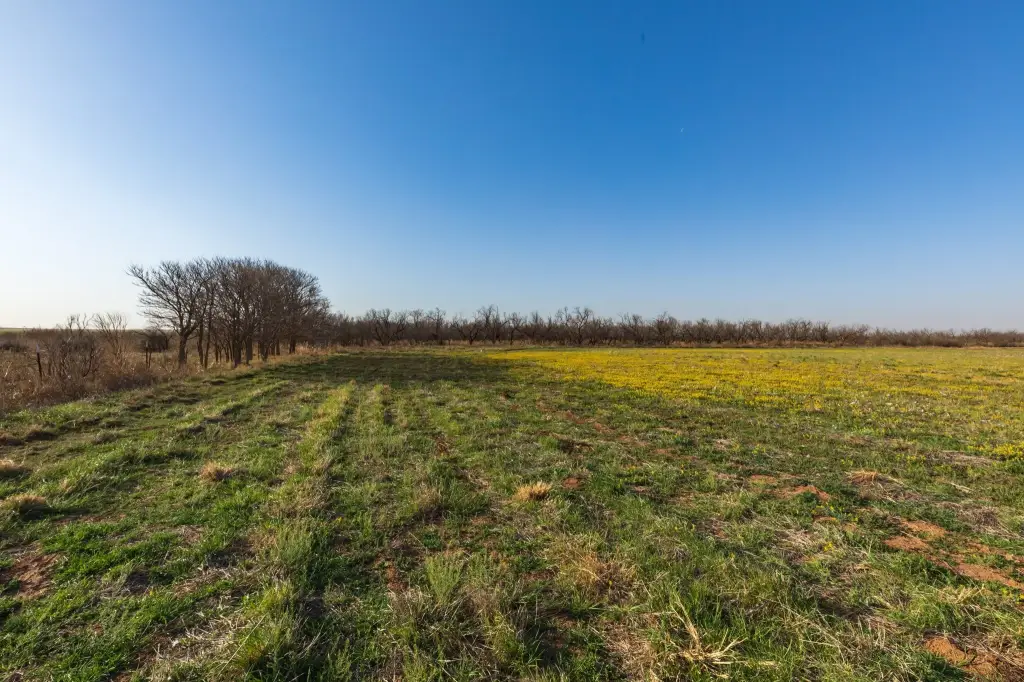
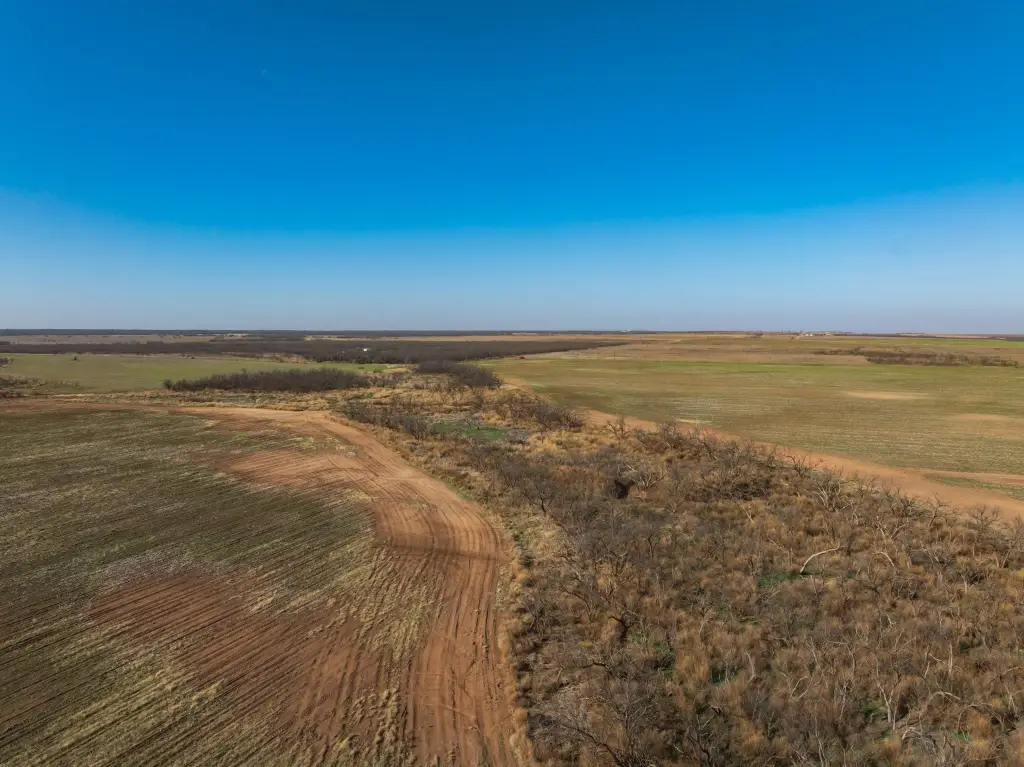
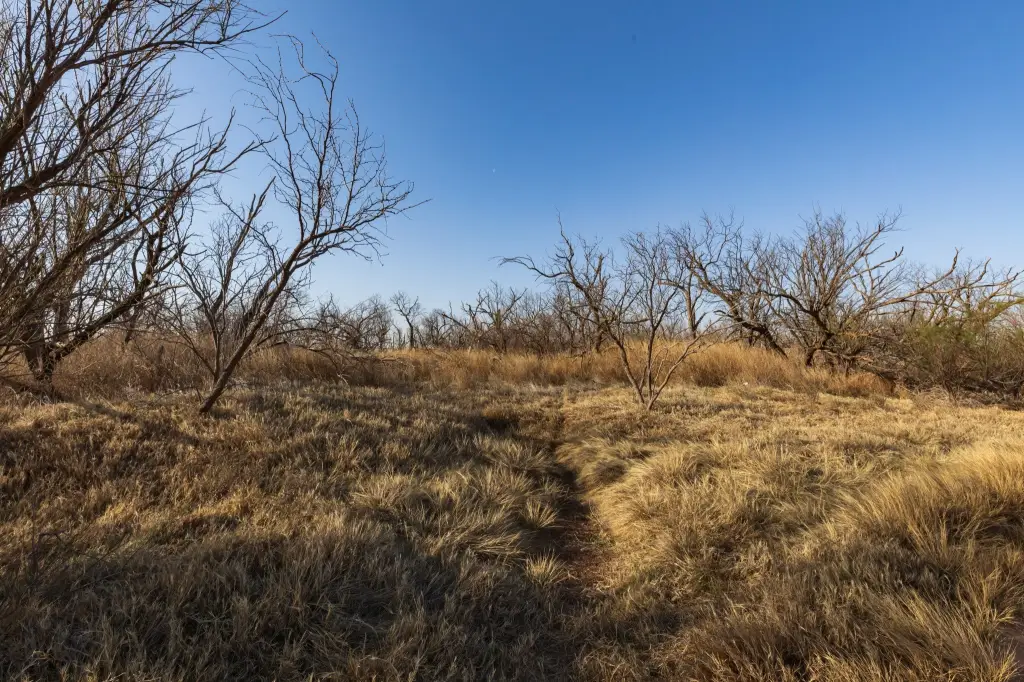
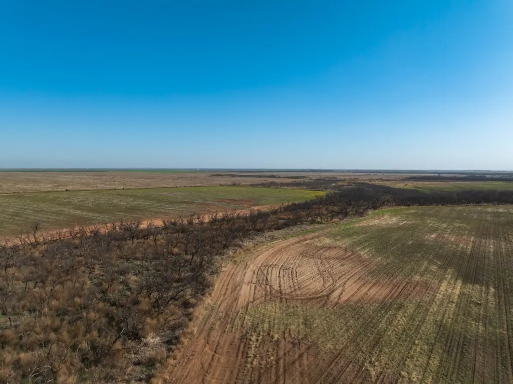
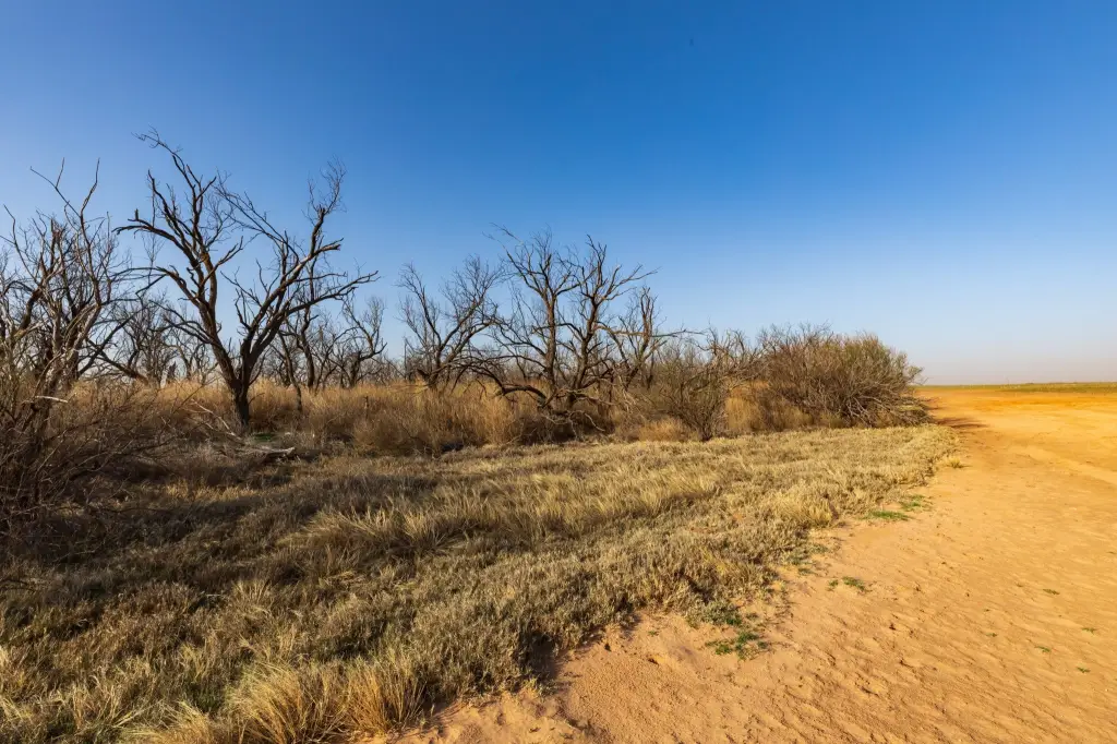
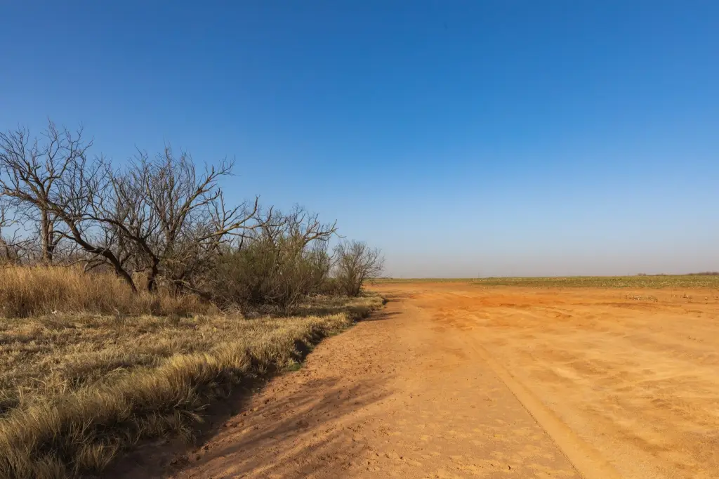
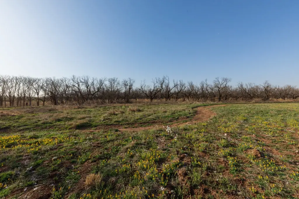
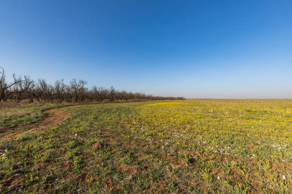
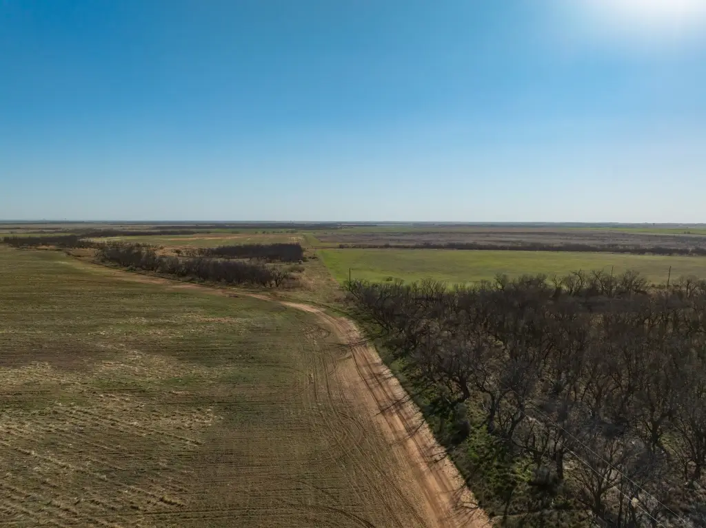
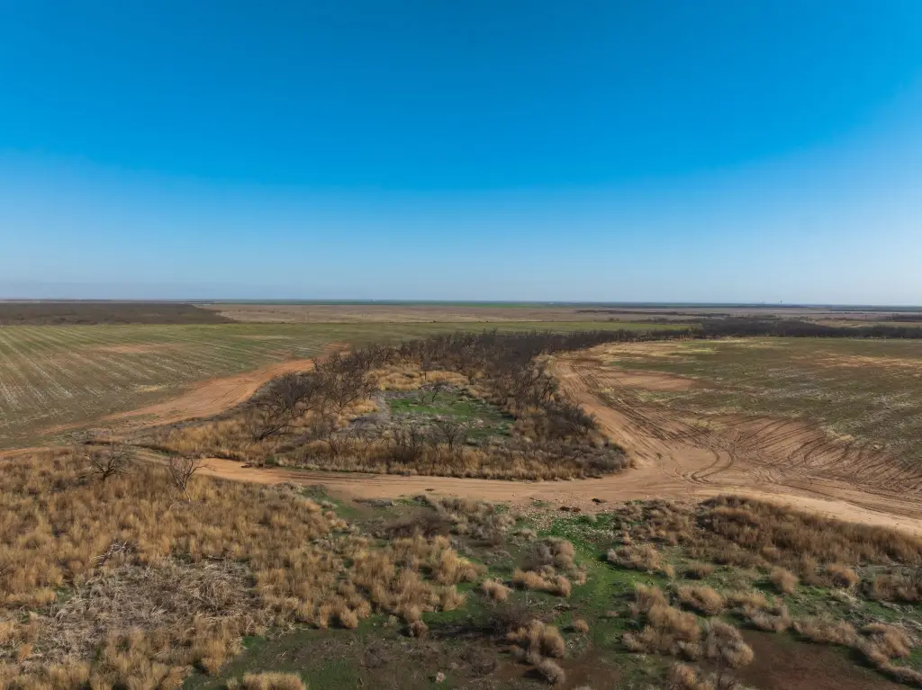
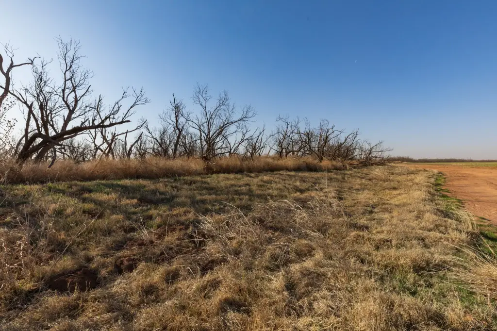
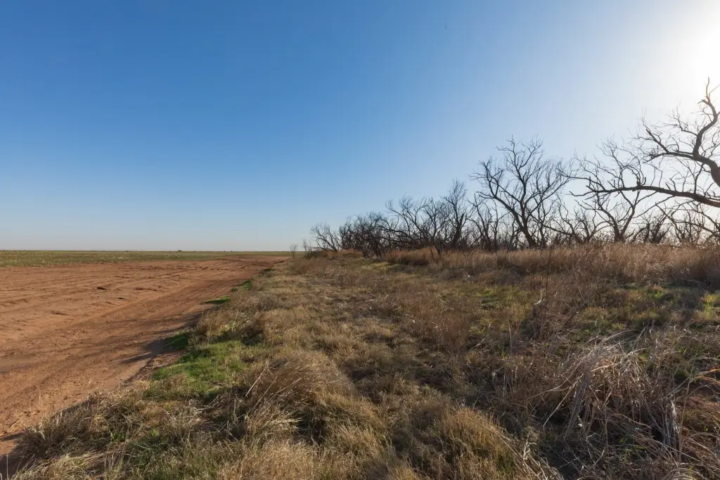
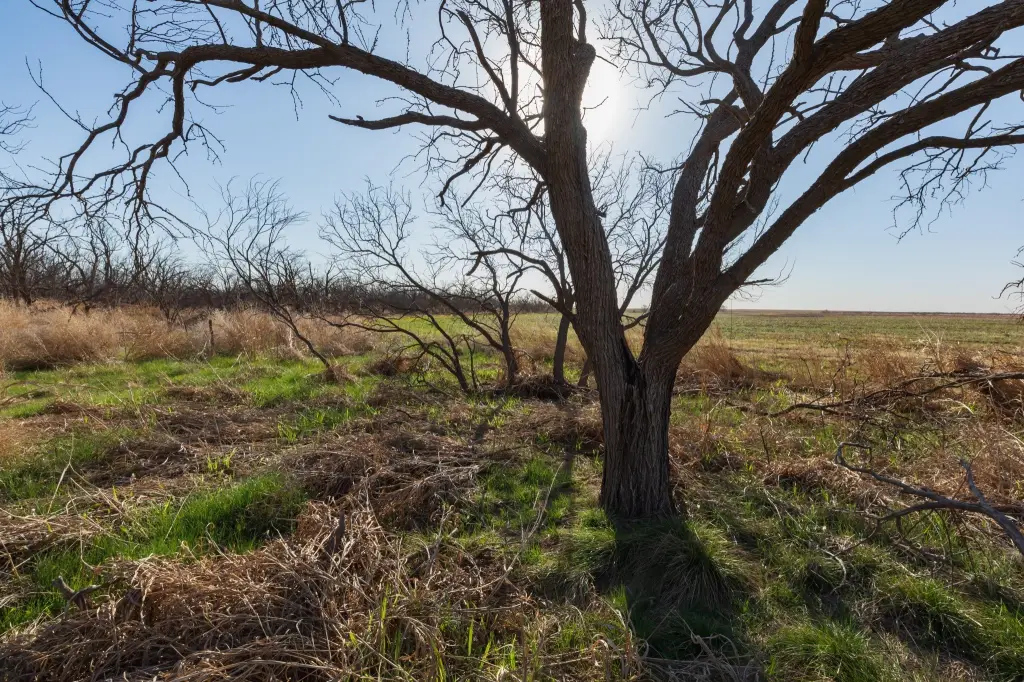
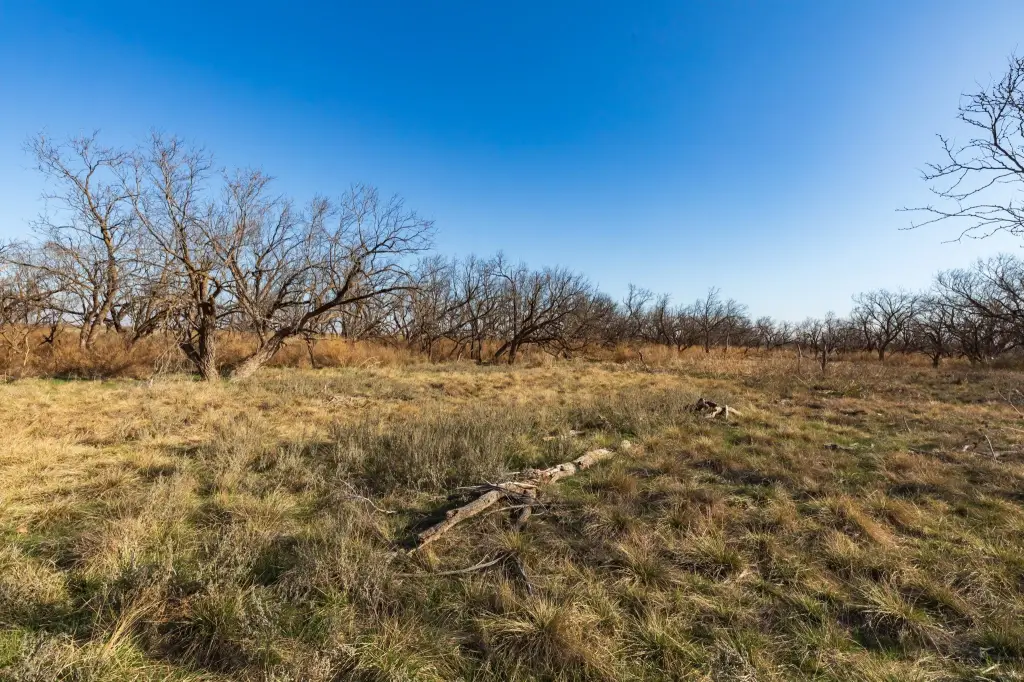
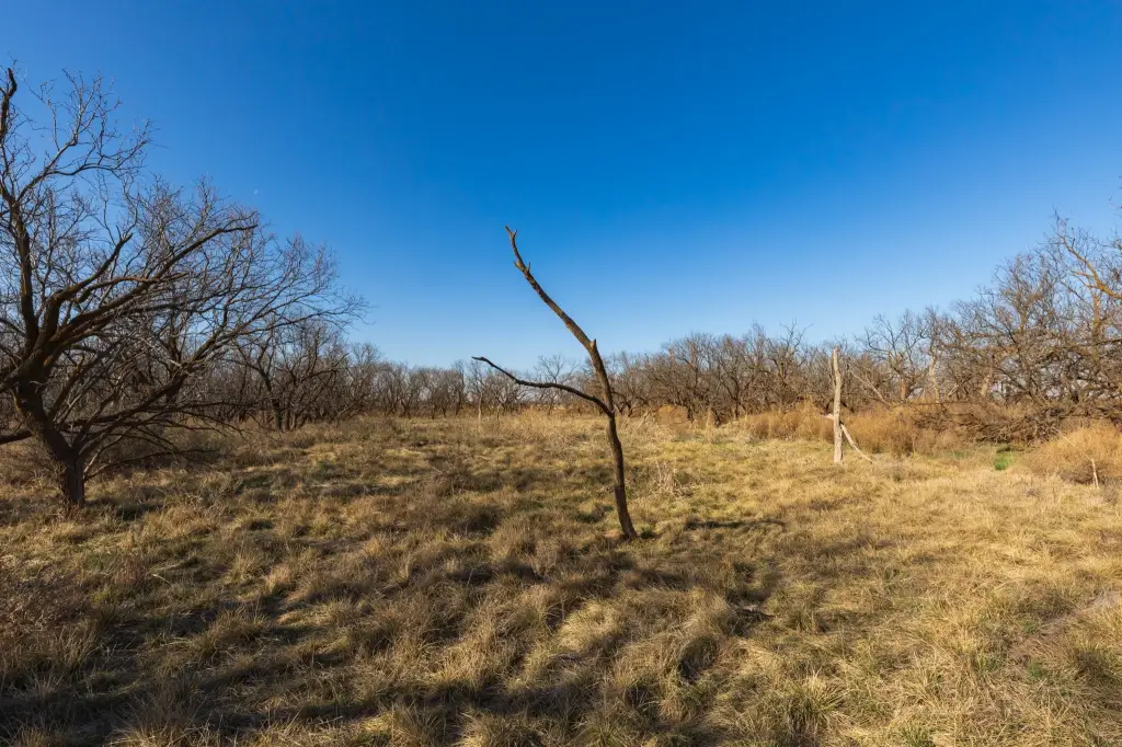
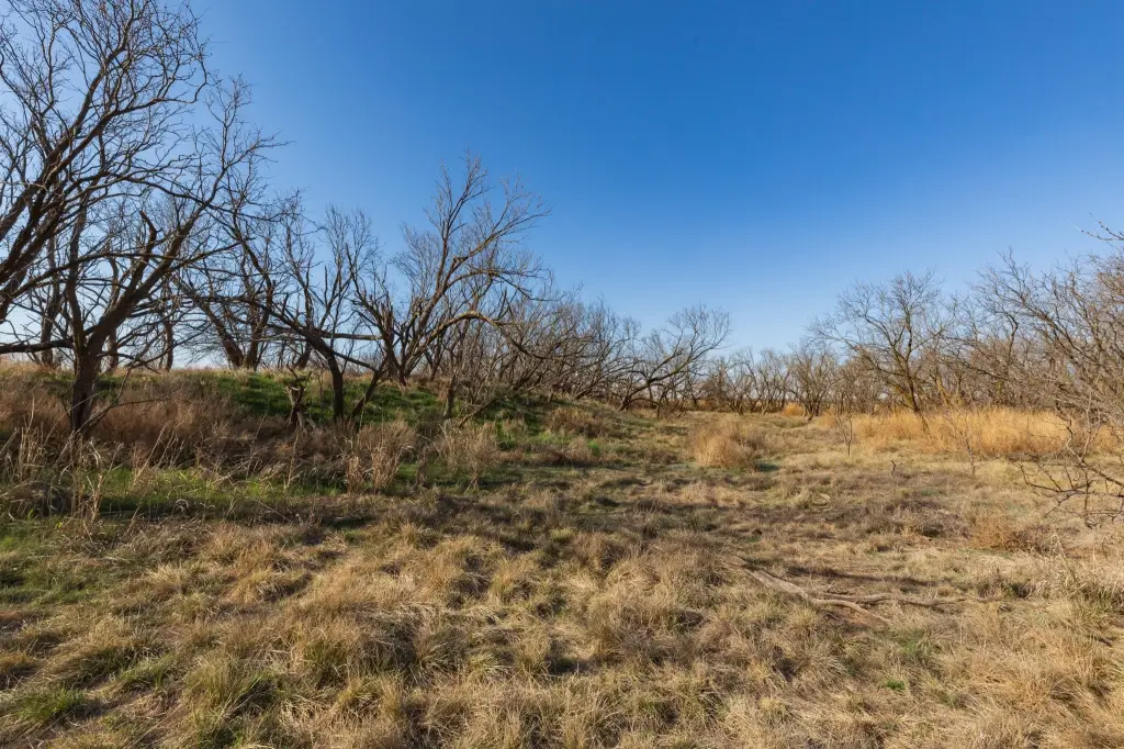
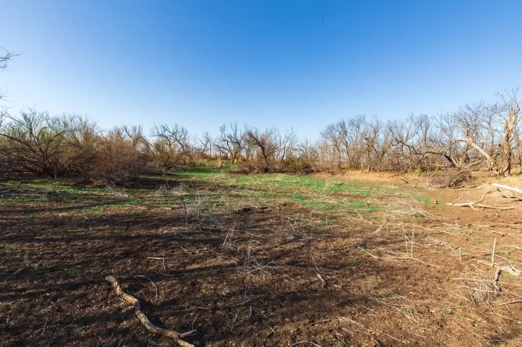
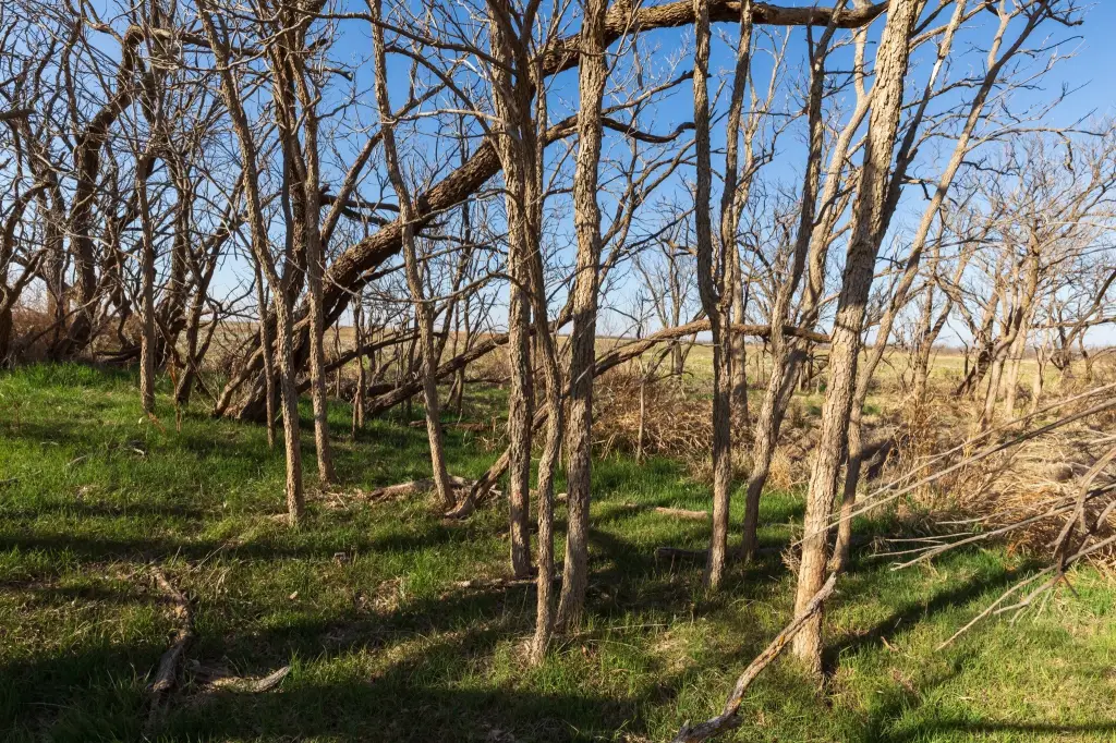
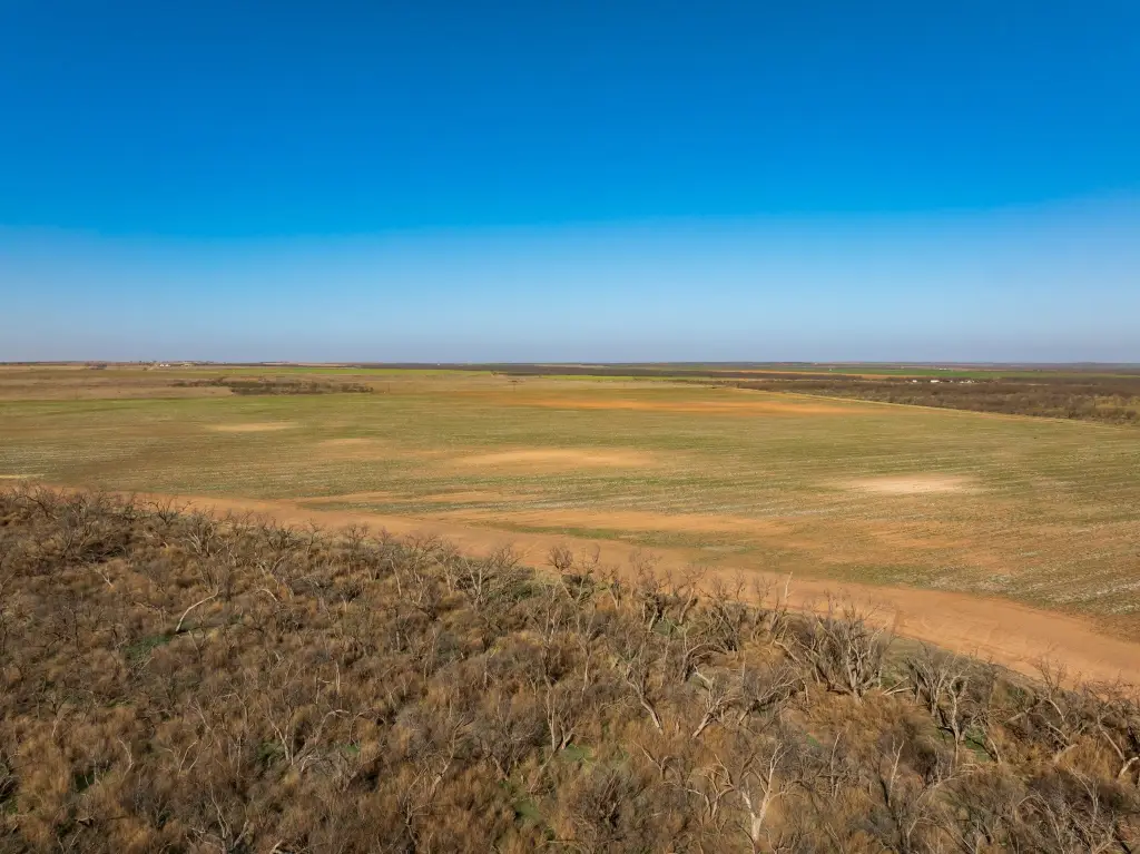
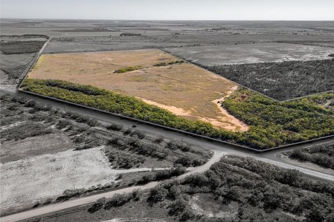
This Fisher County hunting and agricultural opportunity features a wooded belt of mature mesquites spanning roughly 24 acres, along with additional tree cover along a waterway and a stock tank. The property sits just north of McCaulley, where an unnamed feeder runs toward Plasterco Lake, creating natural cover and edge habitat. Signs of wildlife are present throughout, and the tract has been hunted in the past for whitetail deer and feral hogs, with both species indicated on-site.
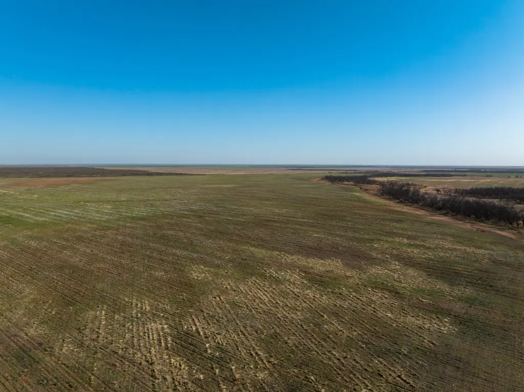
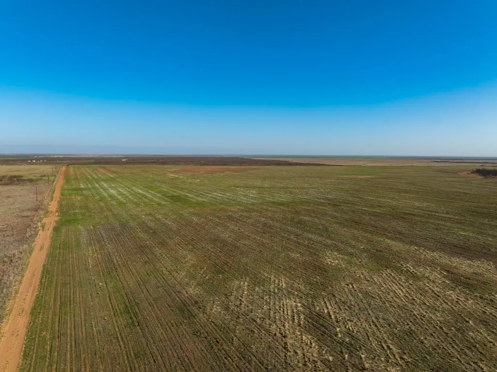
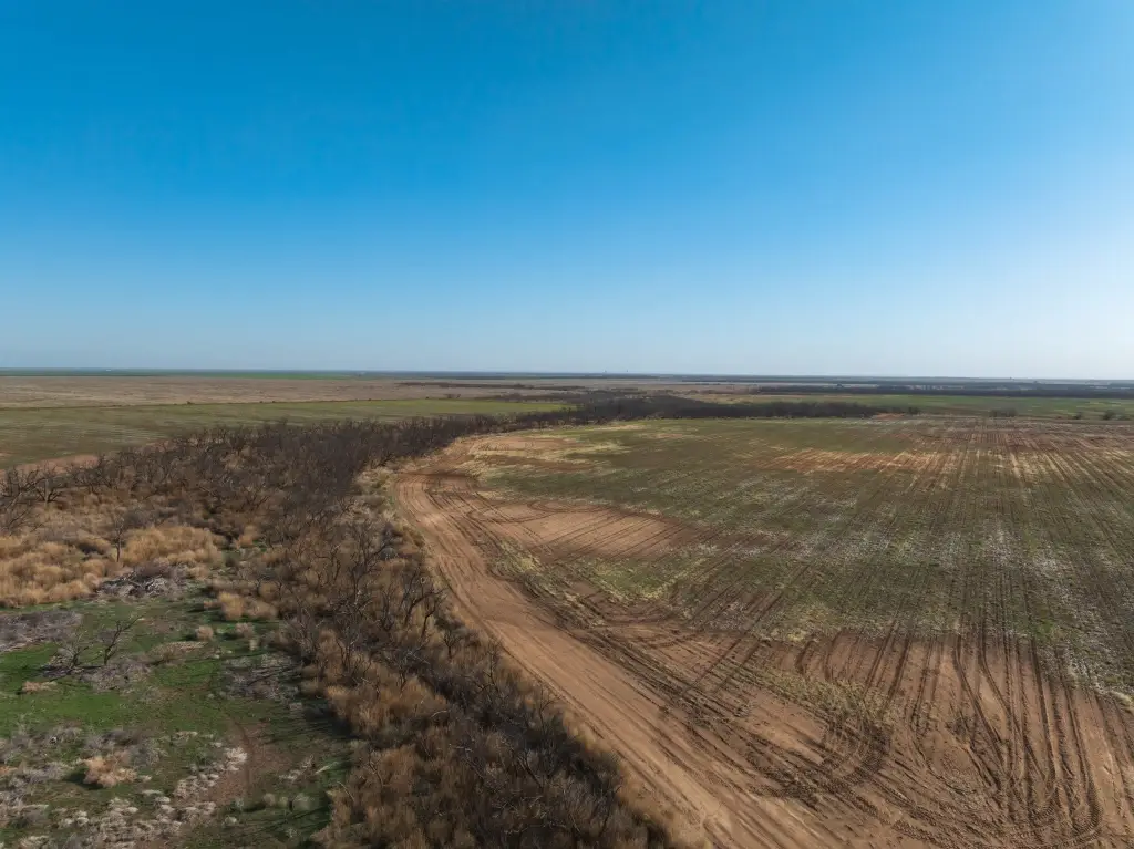
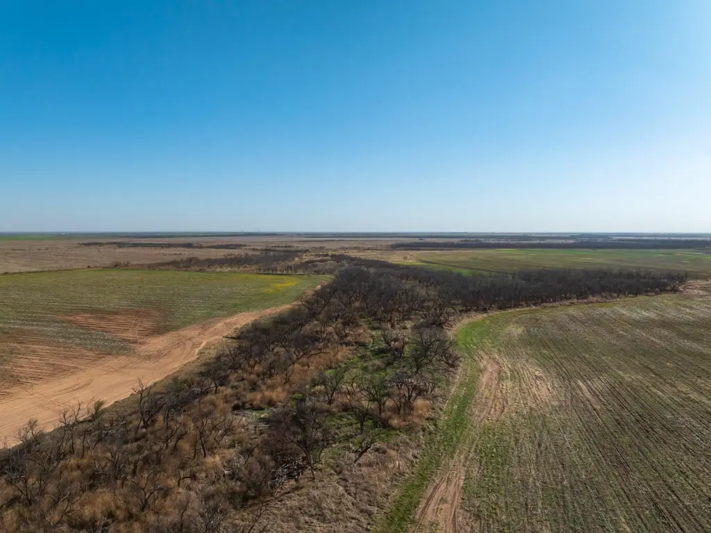
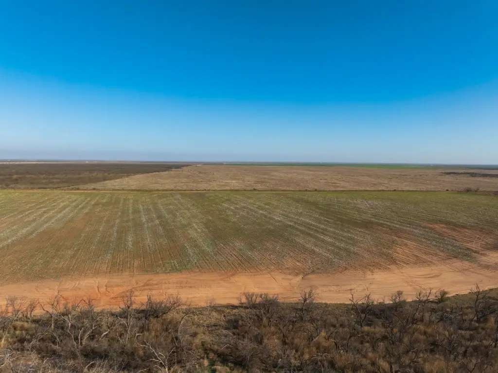
The surrounding landscape is mostly open, while the cover belt provides sheltered movement and escape from the elements. The property is described as sandwiched between two wooded areas, which supports a predictable layout for viewing and tracking game as conditions change. The blend of open areas for rut and potential food-plot development is intended to draw wildlife consistently.
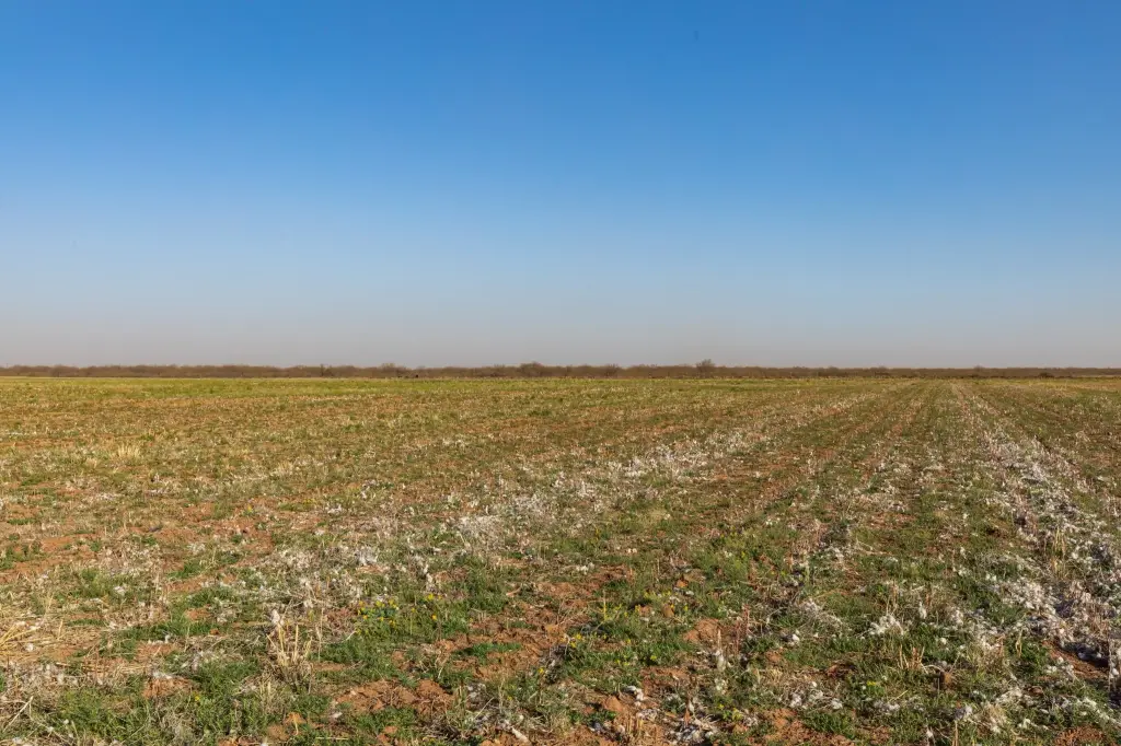
For buyers and lease operators, this is a strong fit for an ownership strategy that combines managed habitat with practical food-plot planning. The back acreage can be considered for conversion into a food plot, and the upland openings may support an annual cropping approach such as wheat to attract sandhill cranes. Whether you’re looking for a place to hunt, or for a tract that can be leased to hunters seeking both cover and open food opportunities, the configuration here is purpose-built for that use.
The surrounding landscape is mostly open, while the cover belt provides sheltered movement and escape from the elements. The property is described as sandwiched between two wooded areas, which supports a predictable layout for viewing and tracking game as conditions change. The blend of open areas for rut and potential food-plot development is intended to draw wildlife consistently.
For buyers and lease operators, this is a strong fit for an ownership strategy that combines managed habitat with practical food-plot planning. The back acreage can be considered for conversion into a food plot, and the upland openings may support an annual cropping approach such as wheat to attract sandhill cranes. Whether you’re looking for a place to hunt, or for a tract that can be leased to hunters seeking both cover and open food opportunities, the configuration here is purpose-built for that use.
Key Highlights
- Wooded belt of mature mesquites covers about 24 acres across the property
- Whitetail deer and feral hog hunting history; signs of both are evident
- Wooded areas on both sides with an open stretch through the property
Property Analytics
Location Intelligence
Current Use by Public Records
Hunting land
Similar For Sale Nearby
FAQs
What type of property is this?
Hunting land - Wooded mesquite cover, water features, and a history of deer and hog hunting make this tract well-suited for outdoor leases.
Where is this hunting land located?
The property is located at CR 262 Mc Caulley, TX.
What is the asking price?
The asking price for this property is $446,145.
What are key features of this property?
This property features: Wooded belt of mature mesquites covers about 24 acres across the property; Whitetail deer and feral hog hunting history; signs of both are evident; Wooded areas on both sides with an open stretch through the property


