Turnkey Pivot-Irrigated Farm
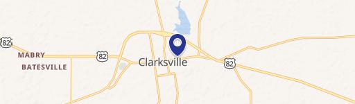
County Road 1370 Clarksville, TX 75426
County Road 1370, Clarksville, TX, 75426
$6,083,500
For Sale
$6,083,500
LAND - Clarksville, TX
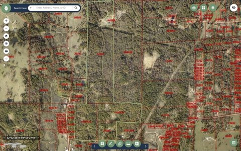
Lot Size1,229.00 Acres
Days on Market142
Property Features for County Road 1370
General Information
- Property type
- Land
- Property subtype
- Other
- Vegetation
- Crops
- Standard status
- Active
- APN
- 1059900000001500
- Lot size
- 1,229.00 Acres
Listing Agency
Century 21 Harvey Properties-P
(903) 785-8484
Bonham, TX
Listed by
Clayton Pilgrim · License #0669442
(903) 583-3188
Added: Feb 27 Checked: Jul 19 at 12:06 pm
MLS# 20856938
Listing URL
Copyright © 2026 North Texas Real Estate Information Systems, Inc. All rights reserved. All information provided by the listing agent/broker is deemed reliable but is not guaranteed and should be independently verified.
Investment Insights
Based on property information with market context.
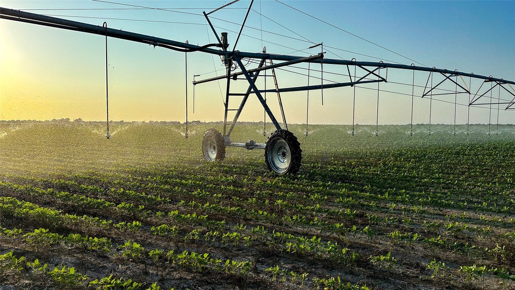
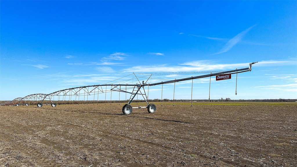
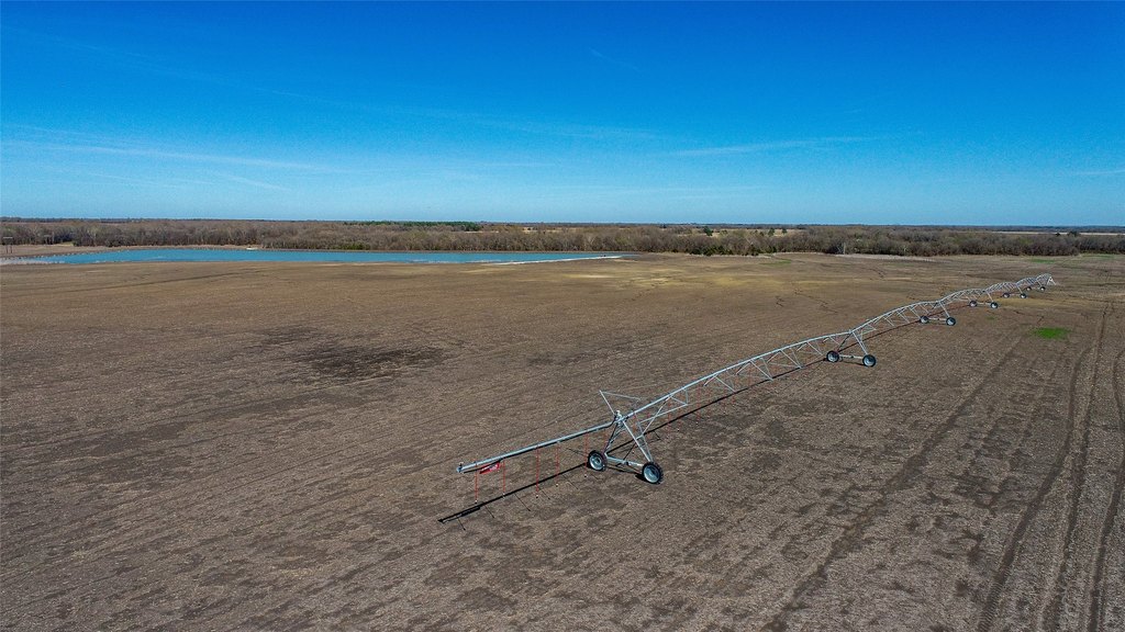
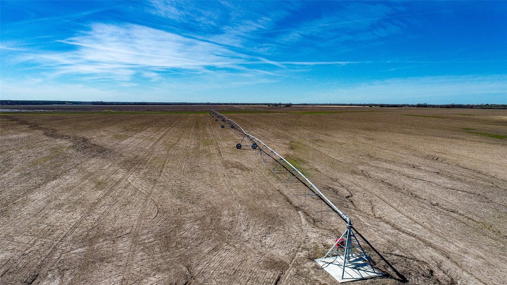
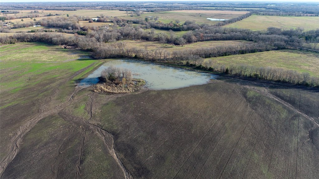
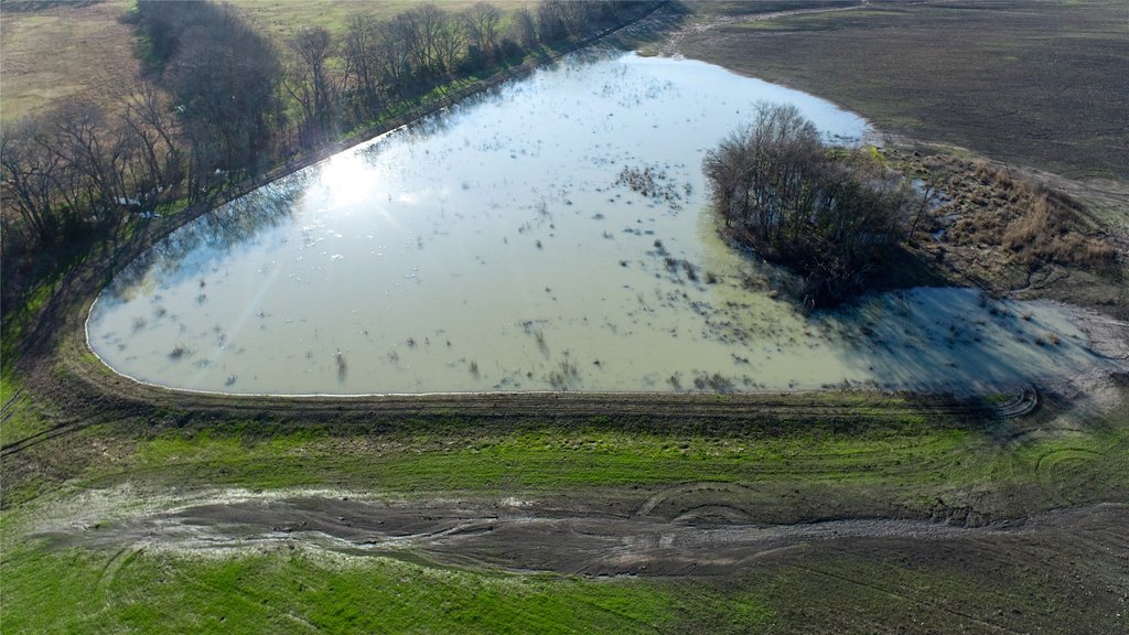
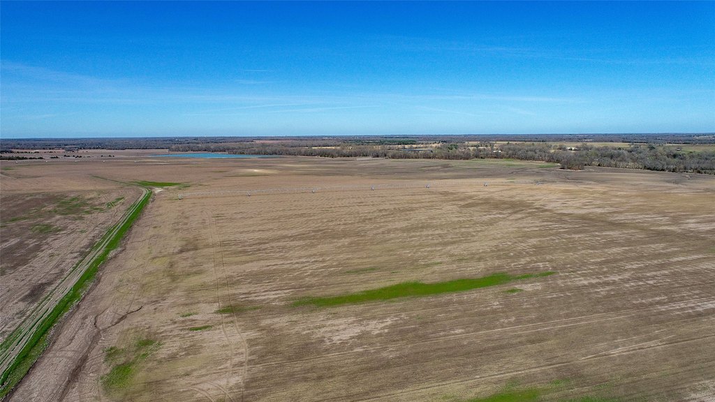
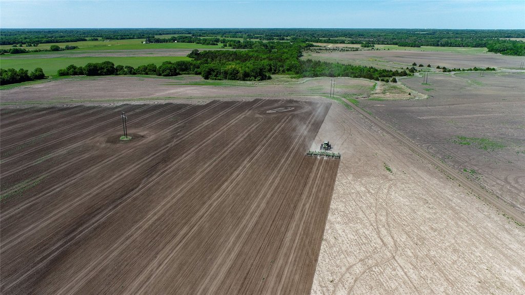
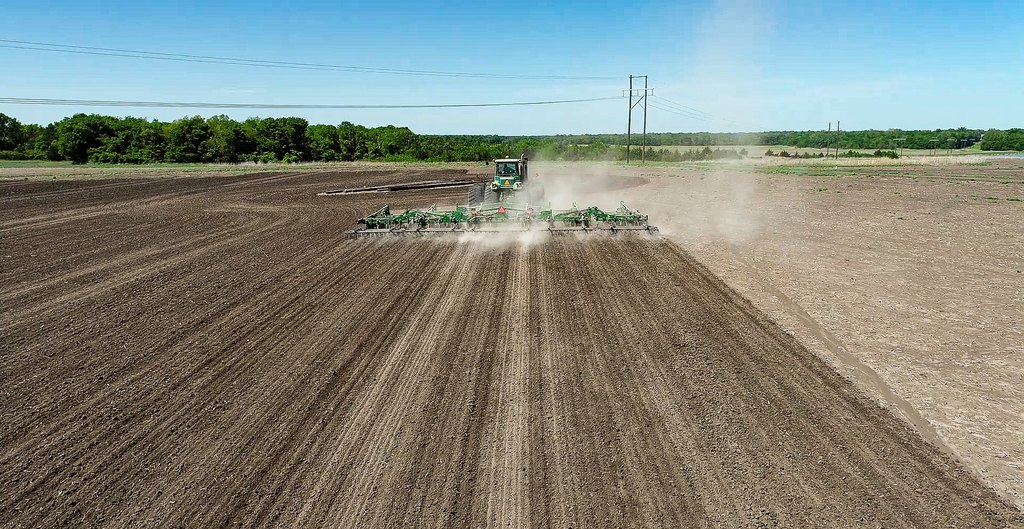
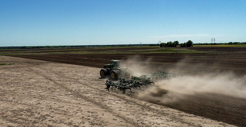
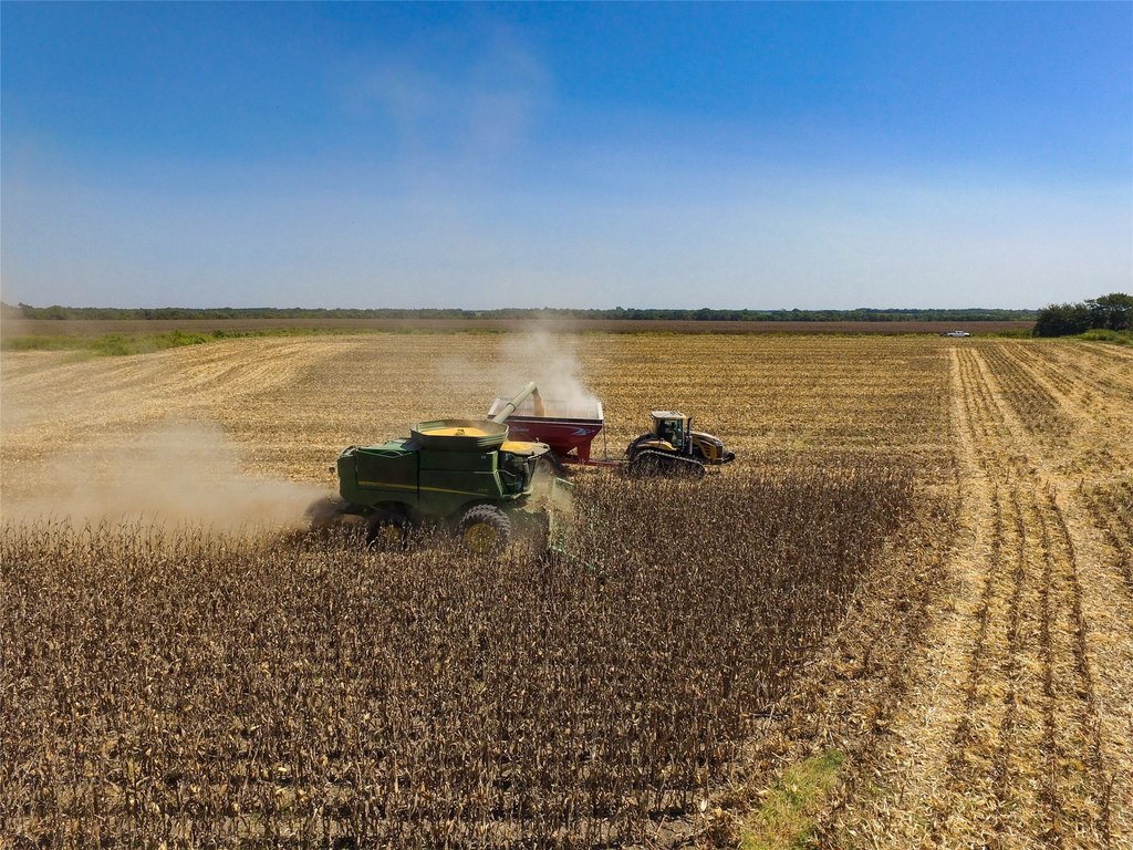
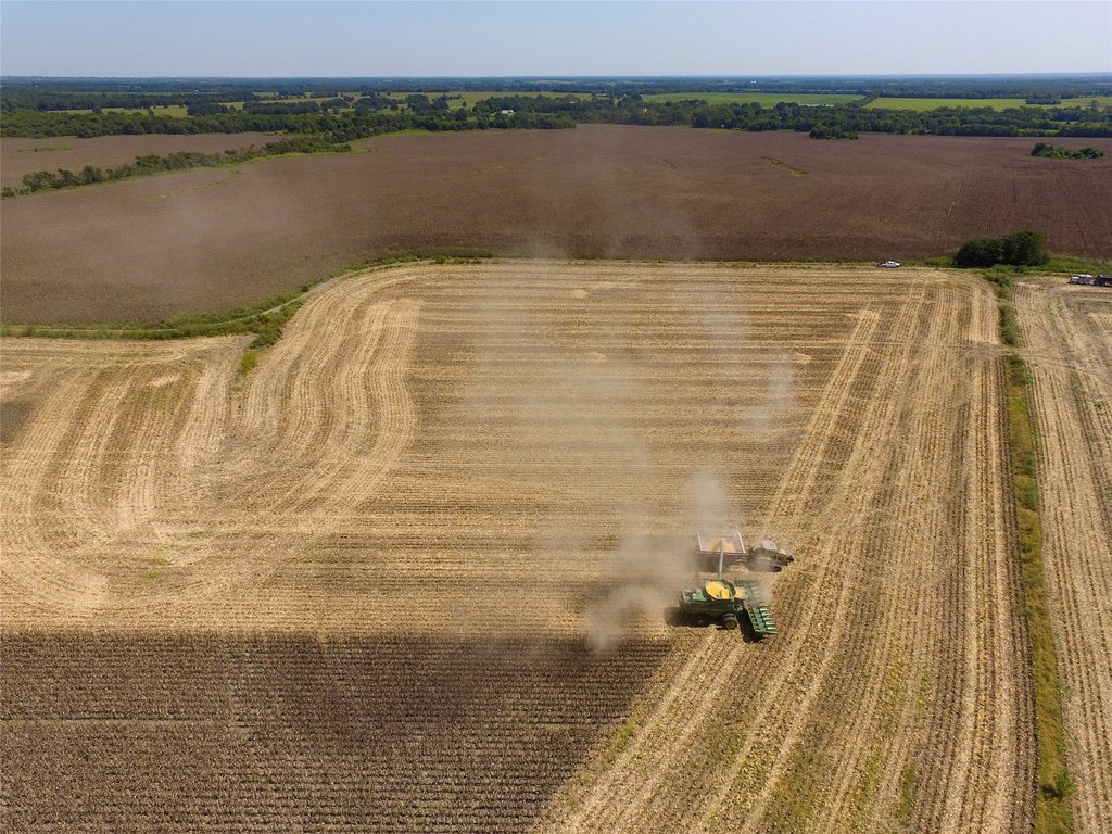
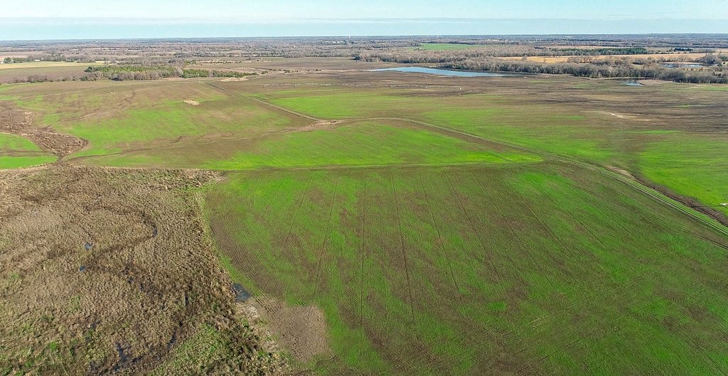
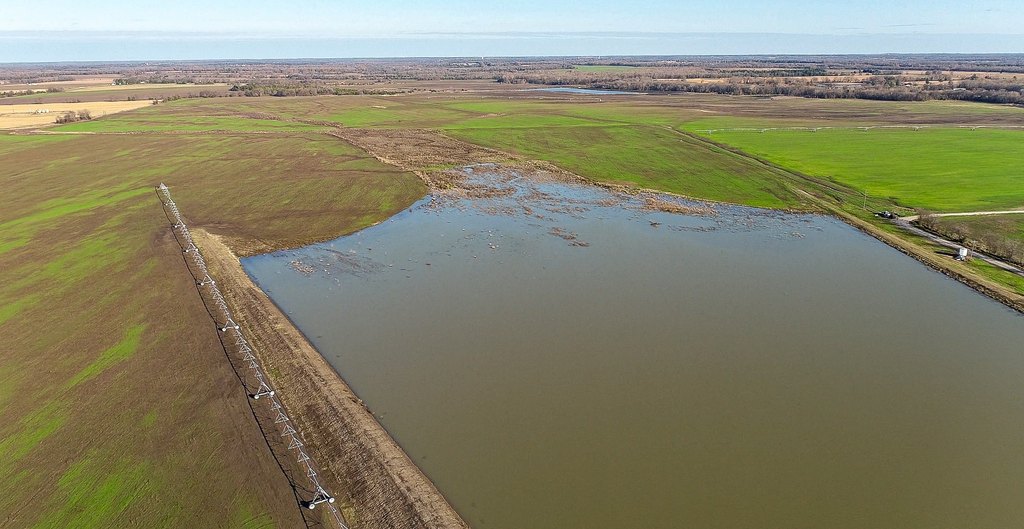
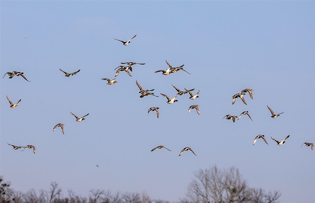
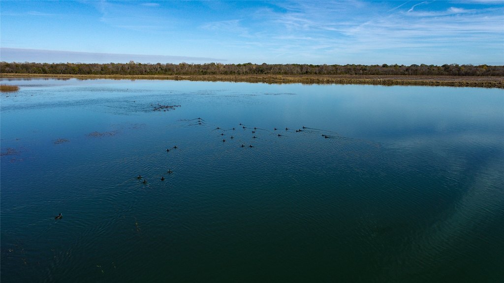
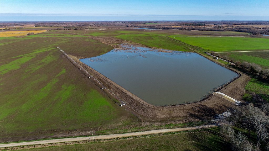
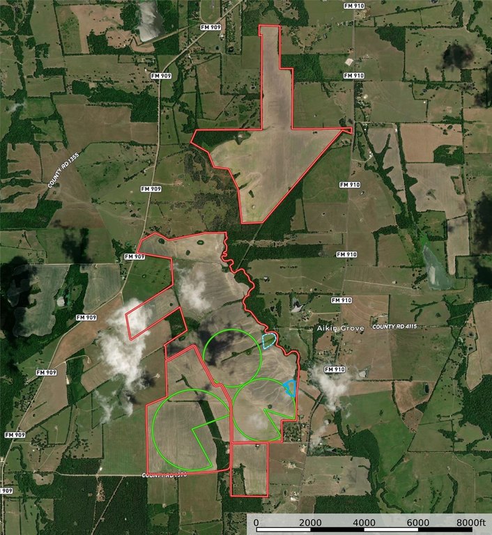
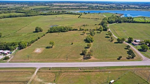
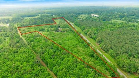
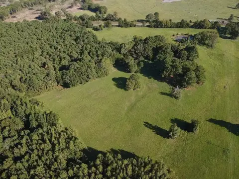
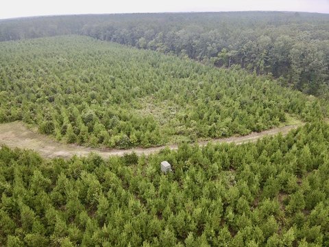
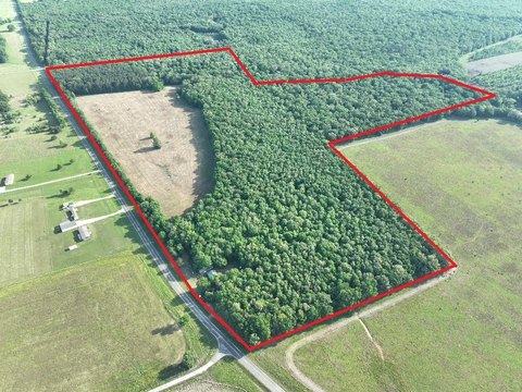
This exceptional +-1,229-acre farm is turnkey and equipped for row crop production. The property features mixed #2 and #3 clay soils and includes pivot irrigation infrastructure designed to support established farming operations. Improvements include three Zimmatic pivots, irrigation reservoirs with concrete spillways, two irrigation pumps, and approximately 5,350 feet of irrigation pipeline. Additional infrastructure includes two levee duck sloughs, 3-phase electric, and county water on site, supporting irrigation and day-to-day farm use. Current utilization includes wheat, corn, cotton, milo, and soybeans.
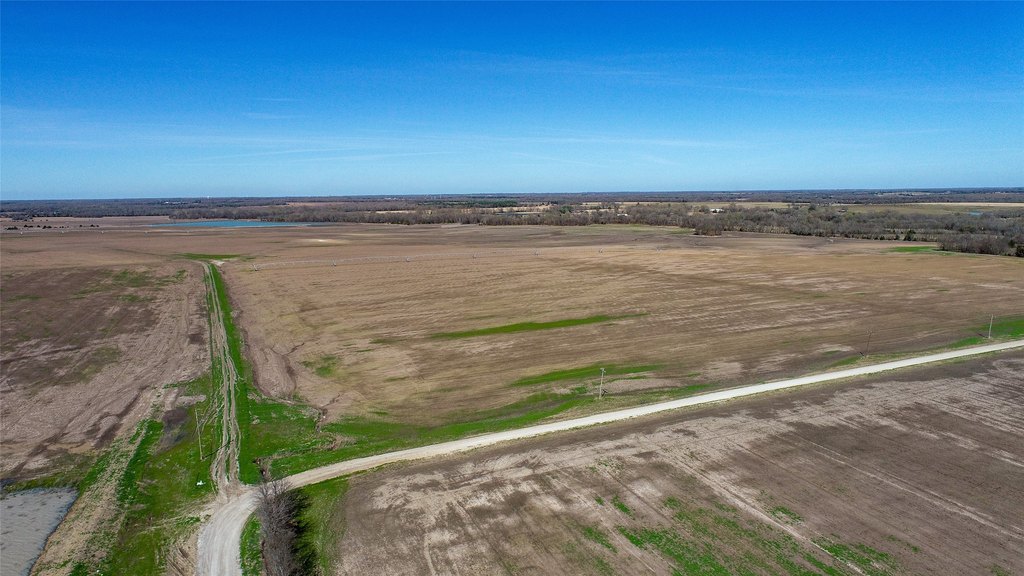
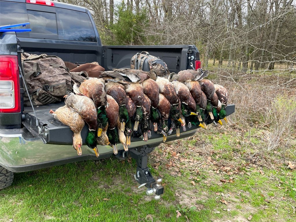
Located south of Clarksville, Texas between FM 909 and FM 910, the farm offers county road and farm-to-market road frontage. The property is set up for productive farming, with water storage and irrigation delivery already in place. The sloughs were designed to manage drainage and create shallow sloughs during winter months.
Beyond row crops, the farm presents flexibility for other agricultural uses. The seller notes strong potential for planting in grass with fencing for cattle or hay operations, and part of the acreage could also be suitable for sod production. For an expansion-minded operator or an absentee investor, the combination of irrigation capability and existing farm infrastructure supports both near-term plantings and future development of additional production programs. Current lease rates, T-yields, soil maps, and related investor information are available from the listing agent.
Key Highlights
- +-1,229‑acre farm south of Clarksville, Texas between FM 909 and FM 910, with county road and FM frontage
- Mixed #2 & #3 clay soils with pivot irrigation and ample water storage for row crop farming
- Irrigation infrastructure includes 3 Zimmatic pivots, irrigation reservoirs with concrete spillways, and 5,350 ft of irrigation pipeline
Property Analytics
Property Profile
Location Intelligence
Current Use by Public Records
Farms
Similar For Sale Nearby
FAQs
What type of property is this?
Farm - Turnkey farm with pivot irrigation, reservoirs, and multi-crop production capacity south of Clarksville.
Where is this farm located?
The property is located at County Road 1370 Clarksville, TX.
What is the asking price?
The asking price for this property is $6,083,500.
What are key features of this property?
This property features: +-1,229‑acre farm south of Clarksville, Texas between FM 909 and FM 910, with county road and FM frontage; Mixed #2 & #3 clay soils with pivot irrigation and ample water storage for row crop farming; Irrigation infrastructure includes 3 Zimmatic pivots, irrigation reservoirs with concrete spillways, and 5,350 ft of irrigation pipeline


