Fenced Agricultural Land
For Sale
Under Contract
$344,900
Coombs Flat Road - Lot 4, Molt, MT 59057
Land, Molt, MT
Property SizeContact for details
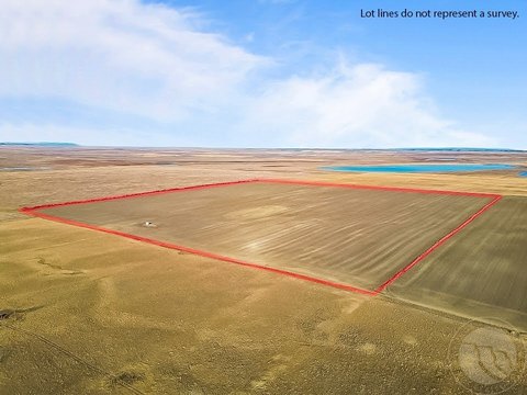
Lot Size31.99 Acres
Days on Market73
Property Features for Coombs Flat Road - Lot 4
General Information
Property type
Land
Property subtype
Other
Zoning description
Suburban Residential Zone Un-zoned
Subdivision
Coombs Ranch Minor Subdivision
Elementary school
Park City
Middle school
Park City
High school
Park City
Directions
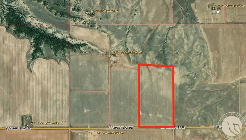
From Billings/Laurel: Head west on Laurel Airport Road, turn right onto Buffalo Trail Road, turn left onto Clapper Flat Road, turn right onto Coombs Flat Road; the property is on the north side of Coombs Flat Road.
Standard status
Active Under Contract
APN
1010267
Lot size
31.99 Acres
Taxes and HOA fees
Tax Description
COOMBS RANCH MINOR SUB, S05, T01 S, R23 E, LOT 4
Tax Annual Amount
215
Legal Description
COOMBS RANCH MINOR SUB, S05, T01 S, R23 E, LOT 4
Utilities
Sewer type
Septic Tank
Listing Agency:
eXp Realty, LLC - Billings
(406) 578-4399
Listed By:
Aaron Redland · License #RRE-BRO-LIC-108844
(406) 671-5606
Added: Jun 10
Changed: Aug 19
Last Checked: Aug 21 at 7:06AM
MLS# 357271
Copyright © 2026 Billings Association of Realtors. All rights reserved. All information provided by the listing agent/broker is deemed reliable but is not guaranteed and should be independently verified.
Investment Insights
Based on property information with market context.
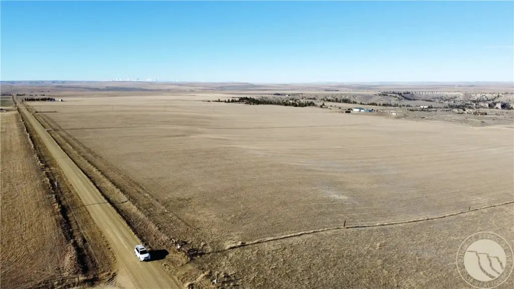
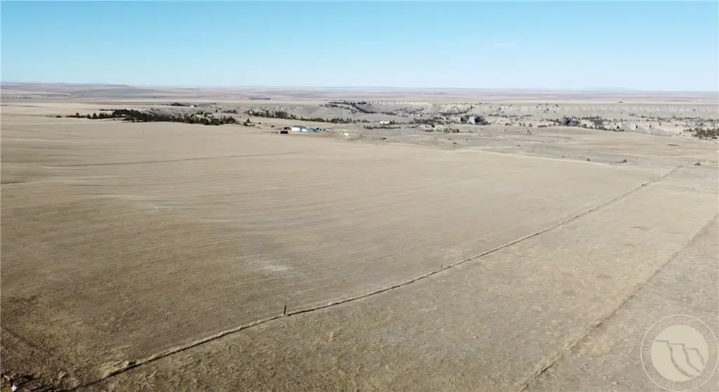
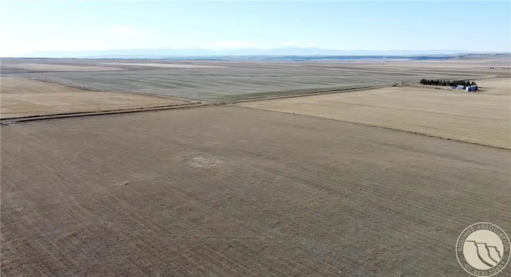
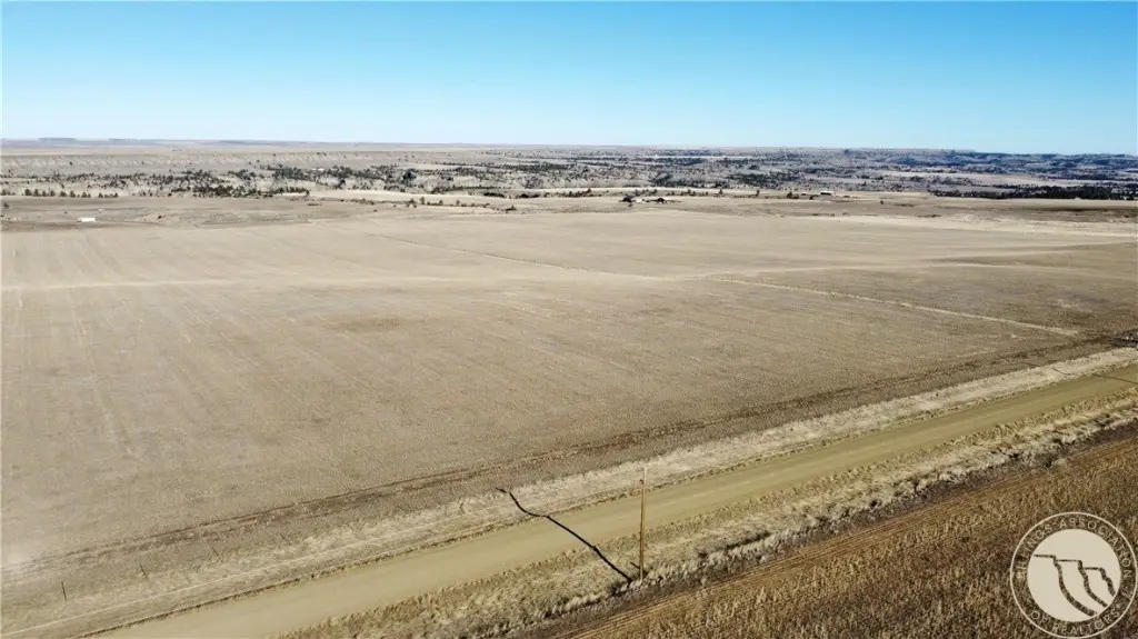
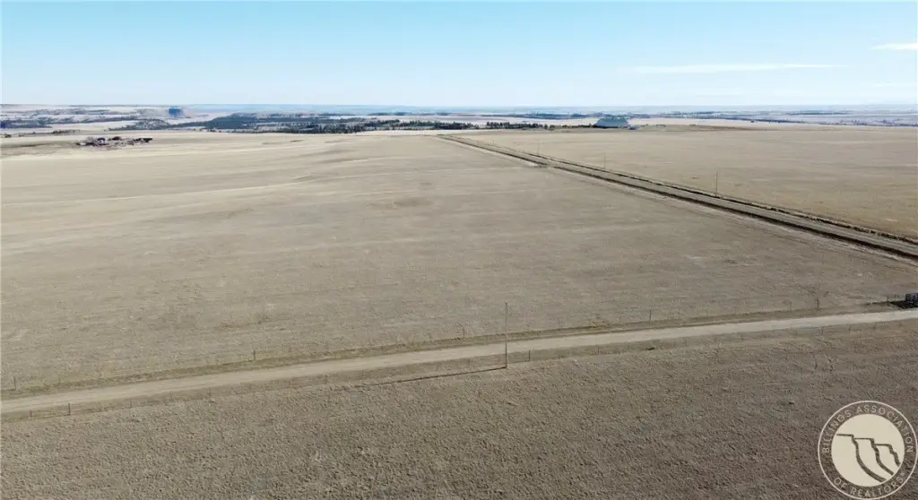
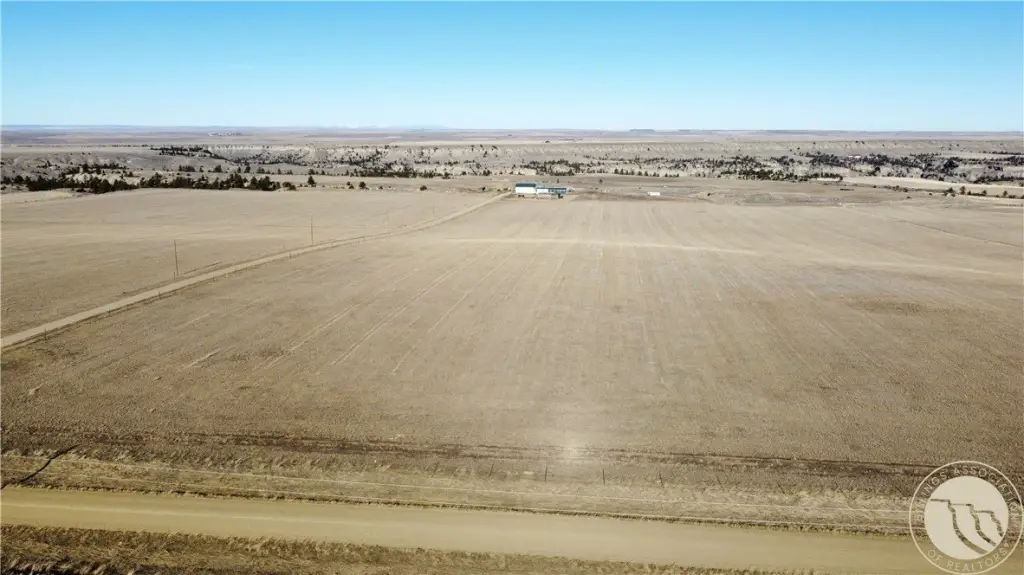
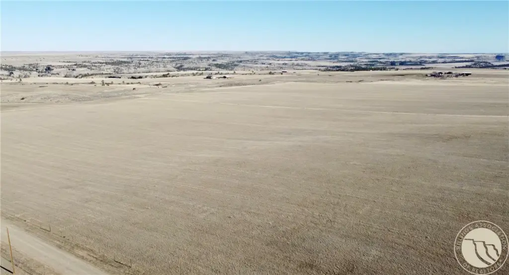
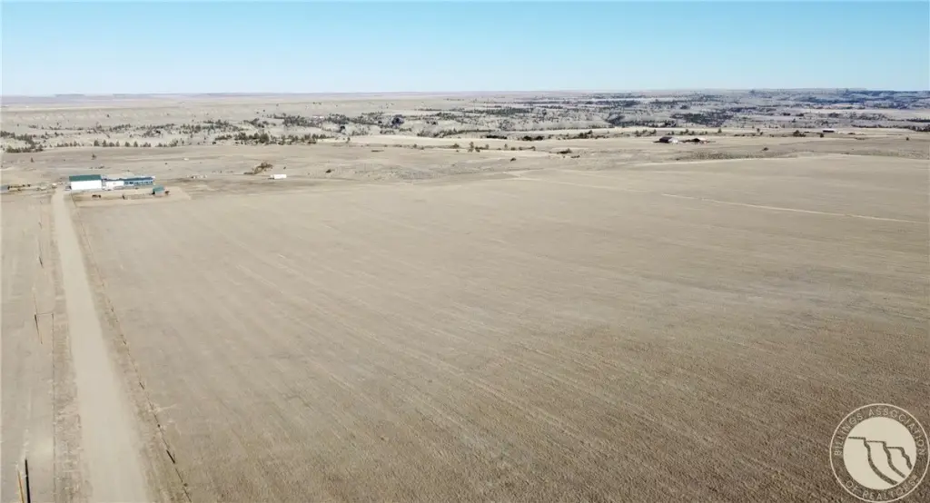
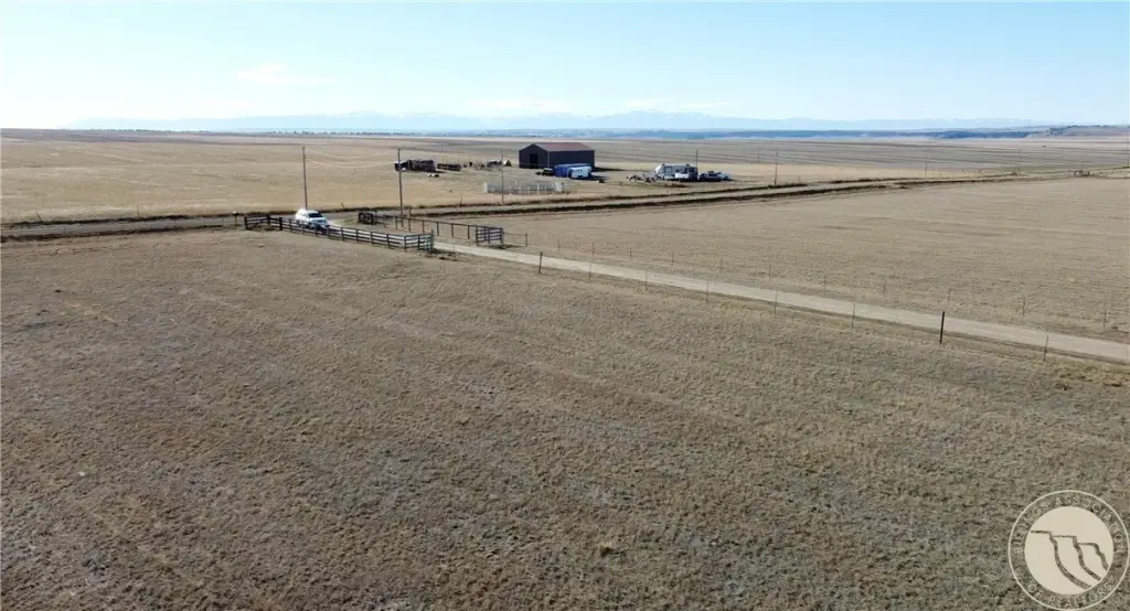
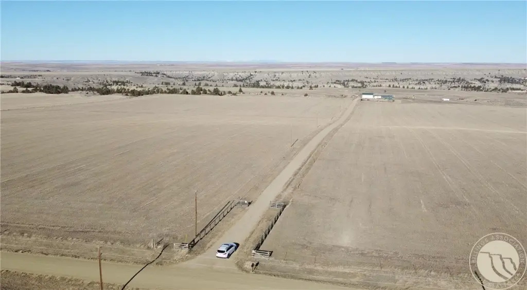
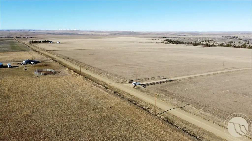
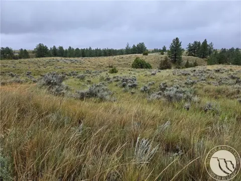
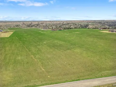
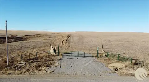
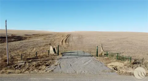
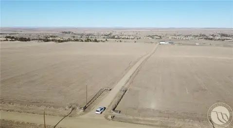
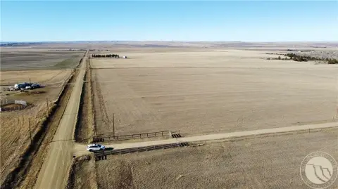
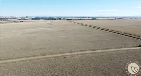
This offering is a 31.99-acre agricultural parcel that is fully fenced and set up for livestock or livestock-ready operations. The property includes county-approved approaches for access. Septic permits have already been approved by the county sanitarian, which can support a smoother transition if you choose to build. Fiber optics and electricity are available at the property, providing support for modern agricultural needs and potential homesite development.
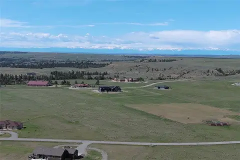
Located near Billings, the site offers room for equipment, animals, and planned multi-generational use. According to the seller’s remarks, there are no zoning requirements for the property, which is presented as allowing agricultural, residential, or mixed use.
For buyers looking for agricultural land, the fenced configuration and approved access make the site practical for running animals or establishing a hobby farm. For those considering future construction, the approved septic documentation and available utilities add convenience when planning a residence alongside an operating ag plan. This combination of ready-to-use land features and flexible use potential is well suited to buyers seeking a working parcel with optional residential development.
Located near Billings, the site offers room for equipment, animals, and planned multi-generational use. According to the seller’s remarks, there are no zoning requirements for the property, which is presented as allowing agricultural, residential, or mixed use.
For buyers looking for agricultural land, the fenced configuration and approved access make the site practical for running animals or establishing a hobby farm. For those considering future construction, the approved septic documentation and available utilities add convenience when planning a residence alongside an operating ag plan. This combination of ready-to-use land features and flexible use potential is well suited to buyers seeking a working parcel with optional residential development.
Key Highlights
- 31.99 acres of productive land suitable for agricultural use and with future residential potential.
- Fully fenced, livestock‑ready property with county‑approved approaches for easy access.
- Septic permits approved, streamlining the building process.
Property Analytics
Current Use
Lease Details
Yes
Fenced yard
Yes
Paved road access
Yes
Utilities to site
Location Intelligence
Trade Area within ½ mile
Explore this area
Business Placement
Demographics for 59057, MT
645
Population
359
Households
1.8
Avg Household Size
45
Median Age
43%
College-Educated
100%
High-School Grad
279.2 sq mi
ZIP Area
2
Density / Sq Mi
$77,527
Median Household Income
$50,179
Median Earnings
$414
Median Rent
$423,200
Median Home Value

Questions? Ask Rey
Realmo’s AI knows this listing — price, zoning, demand, history. Ask anything.


Frequently Asked Questions
What type of property is this?
Agricultural land / Farmland - Fully fenced farmland with county-approved access and septic permits, plus utilities available for flexible ag or residential use.
Where is this agricultural land / farmland located?
The property is located at Coombs Flat Road - Lot 4 Molt, MT.
What is the asking price?
The asking price for this property is $344,900.
What are key features of this property?
This property features: 31.99 acres of productive land suitable for agricultural use and with future residential potential.; Fully fenced, livestock‑ready property with county‑approved approaches for easy access.; Septic permits approved, streamlining the building process.


