Recreation Land
Parcel 201-51-164B Concho, AZ 85924
For Sale
$30,000
LAND - Concho, AZ
Lot Size19.86 Acres
Days on Market51
Property Features for Parcel 201-51-164B
General Information
- Property type
- Land
- Property subtype
- Other
- Exterior features
- Level
- Standard status
- Active
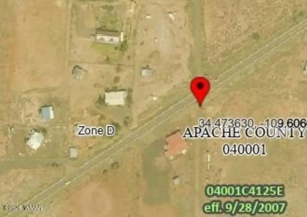
- APN
- 201-51-164B
- Lot size
- 19.86 Acres
Taxes and HOA fees
- Tax Description
- SUBDIVISION TAMARRON RANCHES UNIT 13 LOT 164 SECTION 27 TOWNSHIP 12N RANGE 24E EXC NW2 BEG SW COR TO NE COR
- Tax Annual Amount
- 231
Listing Agency:
Realty Executives AZ Territory - Show Low
(928) 537-1145
Listed By:
Richard Bilbie
(928) 521-1171
Added: Jun 3
Changed: Jun 30
Last Checked: Jul 23 at 7:06PM
MLS# 261503
Copyright © 2026 White Mountain Association of Realtors. All rights reserved. All information provided by the listing agent/broker is deemed reliable but is not guaranteed and should be independently verified.
Investment Insights
Based on property information with market context.
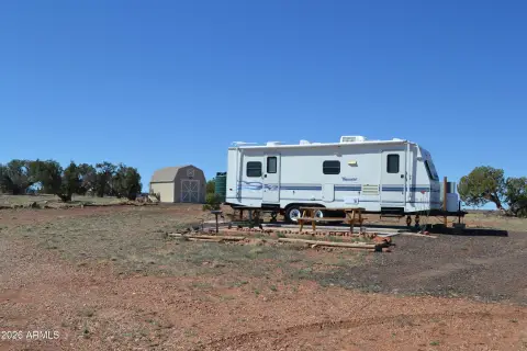
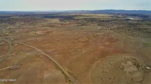
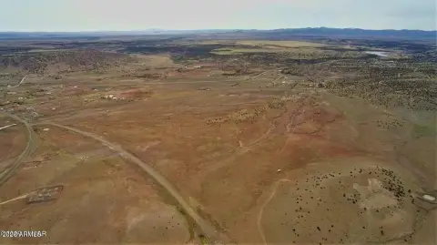
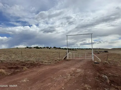
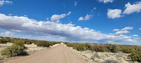
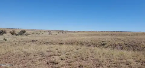
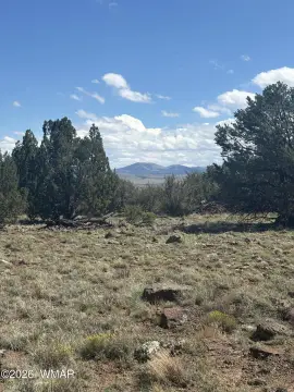
This offering is a raw recreation land parcel totaling 19.86 acres, characterized by natural trees and open country. The property does not include power, septic, or existing improvements, leaving the site ready for a buyer to plan their own approach for use and development.
Access is described as via unmaintained roads, supporting a more secluded, rural setting. The parcel is located in Concho, within Apache County, Arizona. An adjacent 19.86-acre parcel owned by a family member is also available, providing an opportunity to combine for nearly 40 acres.
For buyers seeking space for outdoor recreation or off-grid living, the lack of installed utilities and improvements may align with those who want to bring utilities and site work according to their own schedule. The availability of an additional neighboring parcel can also be attractive for buyers looking to increase total acreage for expanded use.
Key Highlights
- 19.86 acres of Arizona country land with natural trees and level ground
- Raw parcel with no power, no septic, and no existing improvements
- Secluded rural access by unmaintained roads
Property Analytics
Property Profile
Location Intelligence
Current Use by Public Records
Recreation land


FAQs
What type of property is this?
Recreation land - Raw, tree-filled acreage offered for recreation, off-grid use, or future development with no utilities or existing improvements.
Where is this recreation land located?
The property is located at Parcel 201-51-164B Concho, AZ.
What is the asking price?
The asking price for this property is $30,000.
What are key features of this property?
This property features: 19.86 acres of Arizona country land with natural trees and level ground; Raw parcel with no power, no septic, and no existing improvements; Secluded rural access by unmaintained roads


