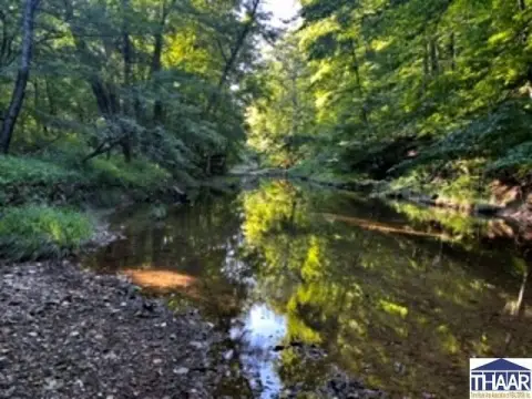
Wooded Recreation Land with Lake
For Sale
$999,999
750 West, Columbus, IN 47201
LAND - Columbus, IN
Lot Size72.75 Acres
Days on Market156
Property Features for 750 West
General Information
Property type
Land
Property subtype
Other
Zoning
Classified Forest
Subdivision
No Subdivision
Lot features
Mature Trees, Wooded
Elementary school district
Bartholomew Con School Corp
Middle school district
Bartholomew Con School Corp
High school district
Bartholomew Con School Corp
Directions
West on Youth Camp Road; L on 750 W; to property in the 3000 block of 750 W.
Standard status
Active
APN
038402000000100011
Lot size
72.75 Acres
Taxes and HOA fees
Tax Year
2025
Tax Description
Part NE/4 - 72.75 acres
Legal Description
Part NE/4 - 72.75 acres
Utilities
Sewer type
Septic Needed
Listing Agency:
CENTURY 21 Scheetz · Century 21 Real Estate
(812) 372-3766
Listed By:
Karen Dugan · License #RB14022533
(812) 378-1723
Added: Feb 24
Changed: Jun 16
Last Checked: Jul 30 at 3:06PM
MLS# 22085647
Copyright © 2026 MIBOR Service Corporation. All rights reserved. All information provided by the listing agent/broker is deemed reliable but is not guaranteed and should be independently verified.
Investment Insights
Based on property information with market context.
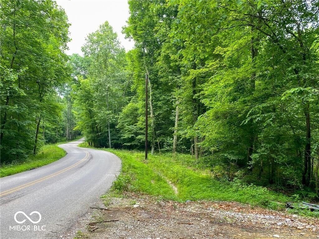
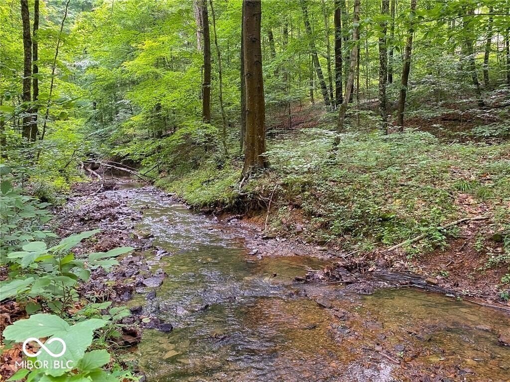
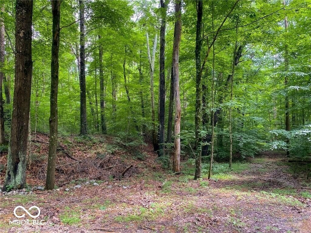
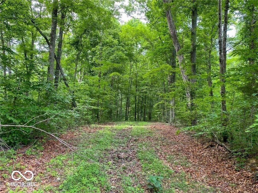
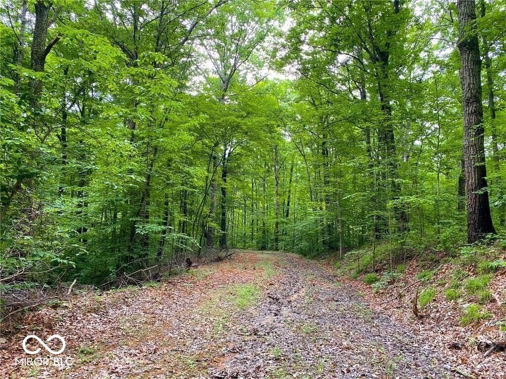
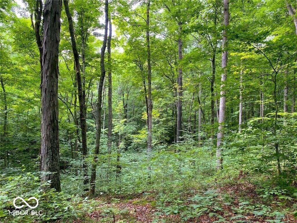
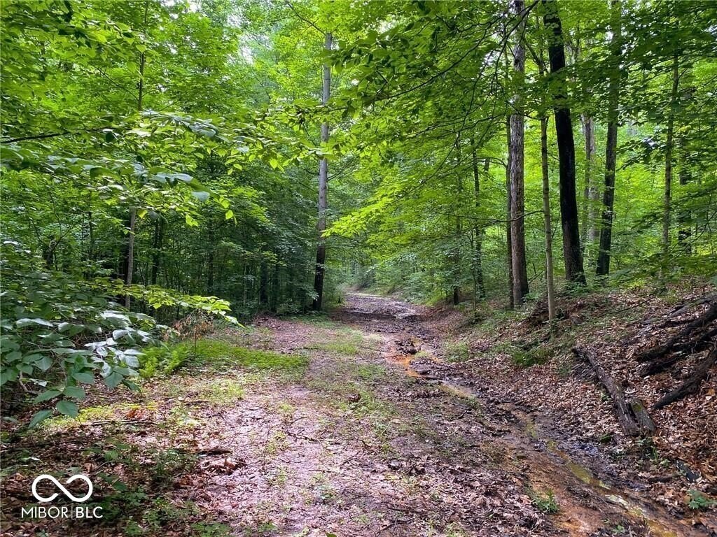
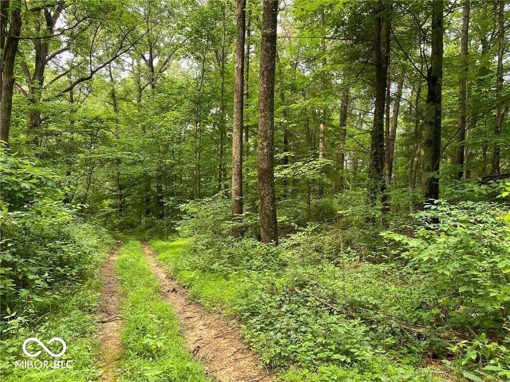
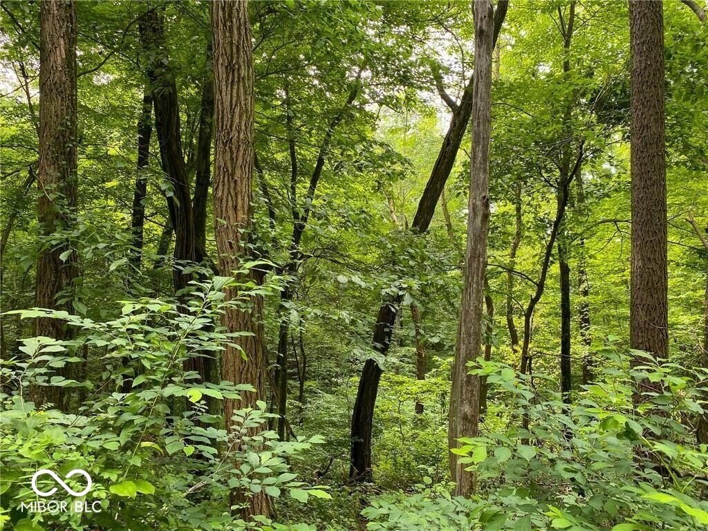
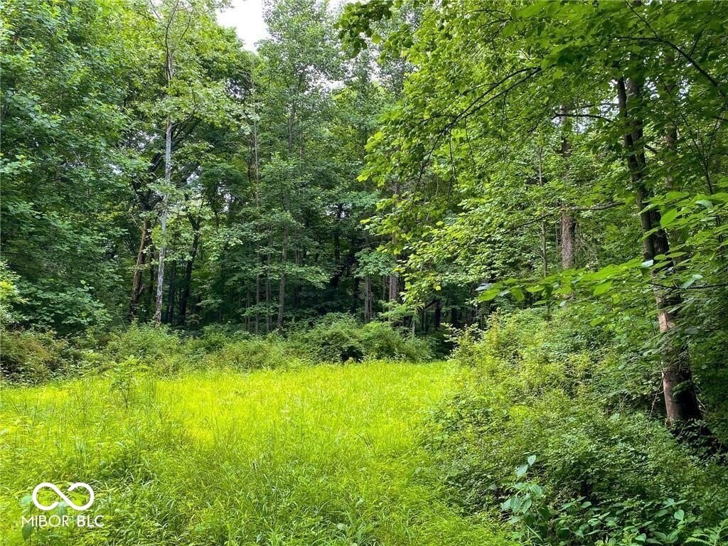
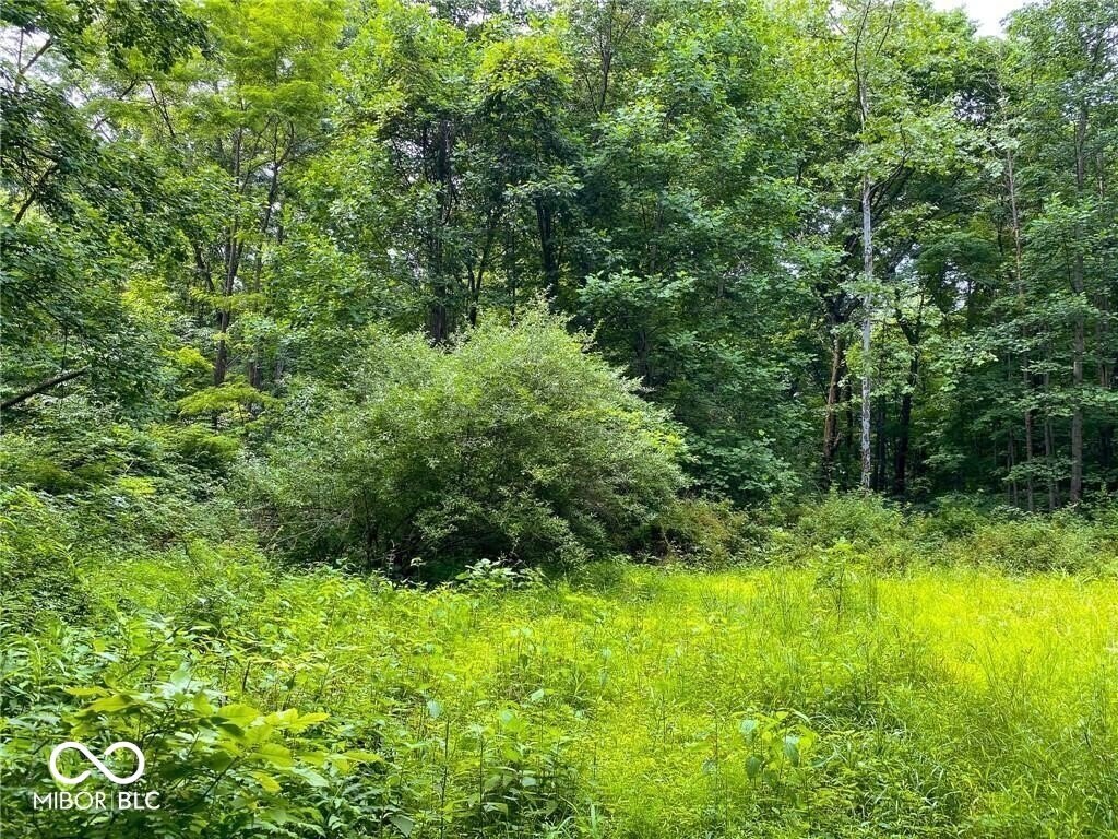
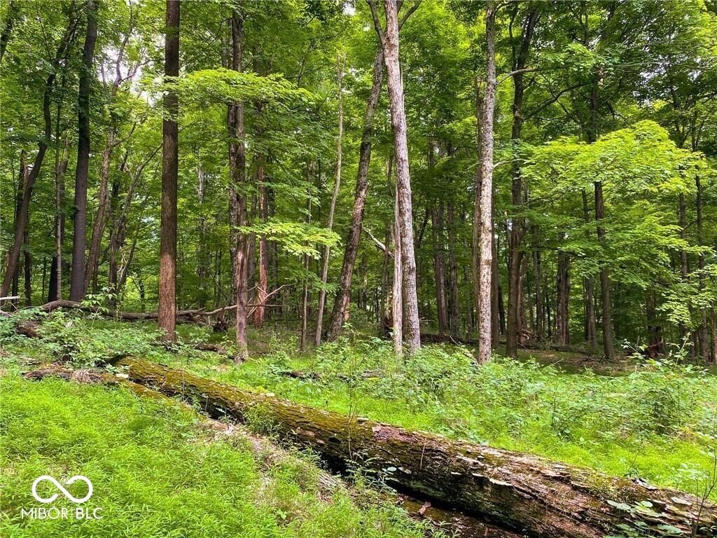
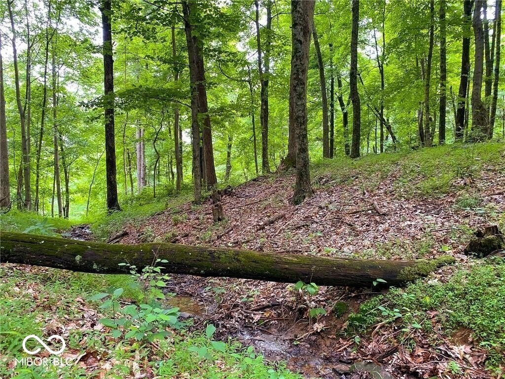
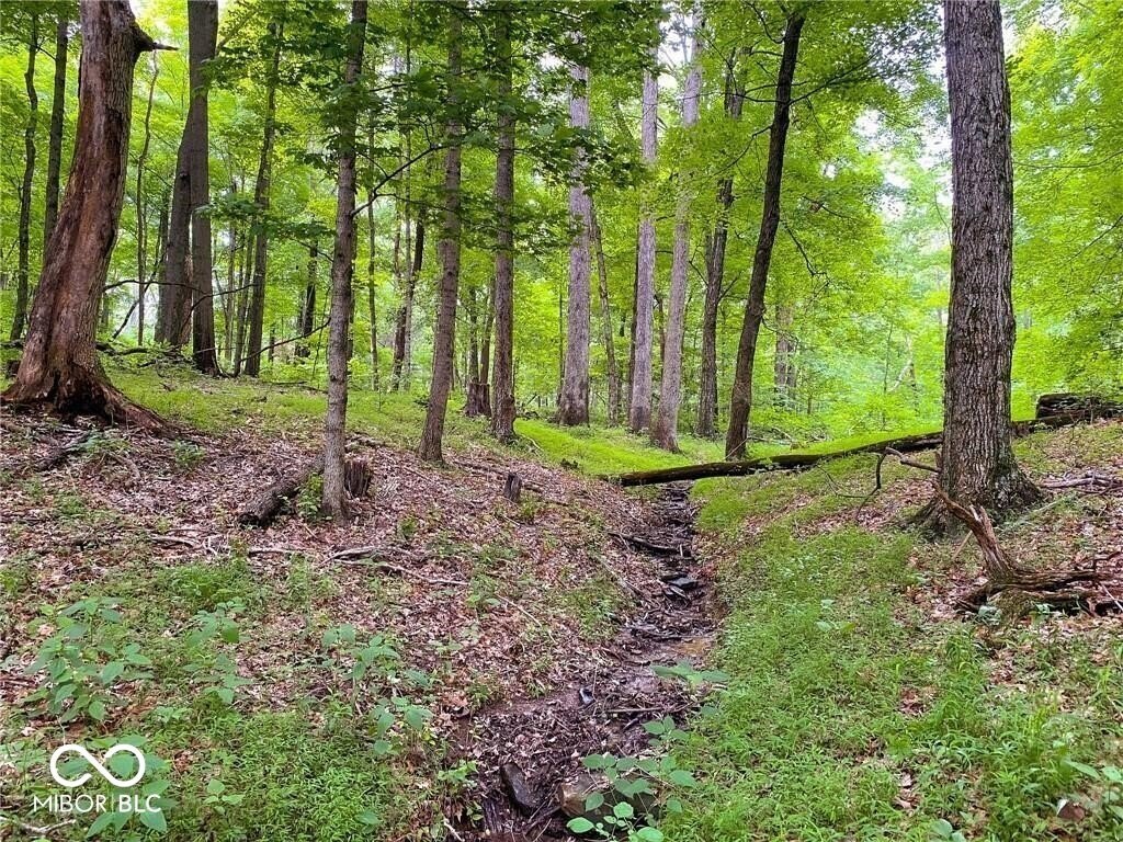
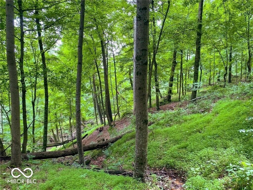
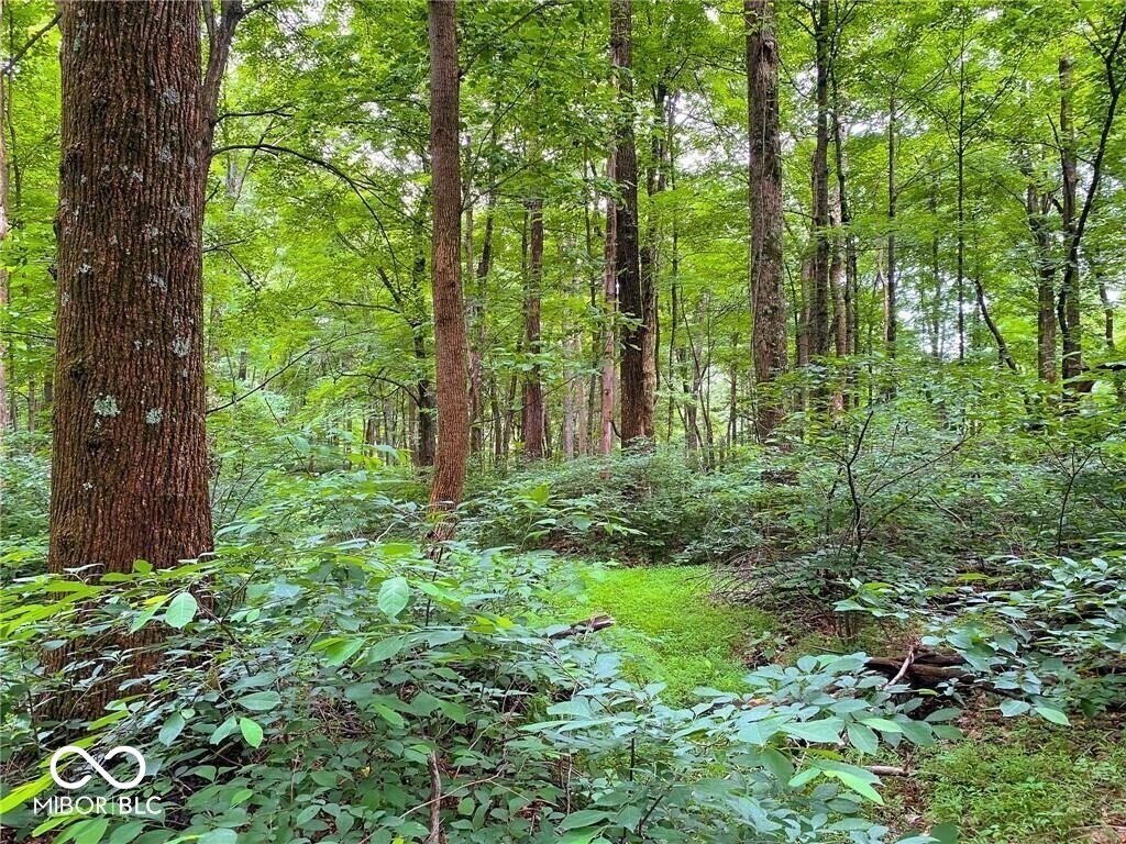
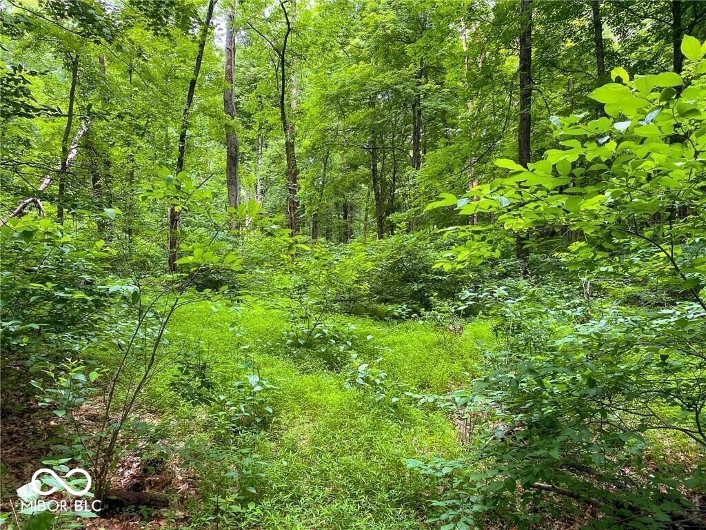
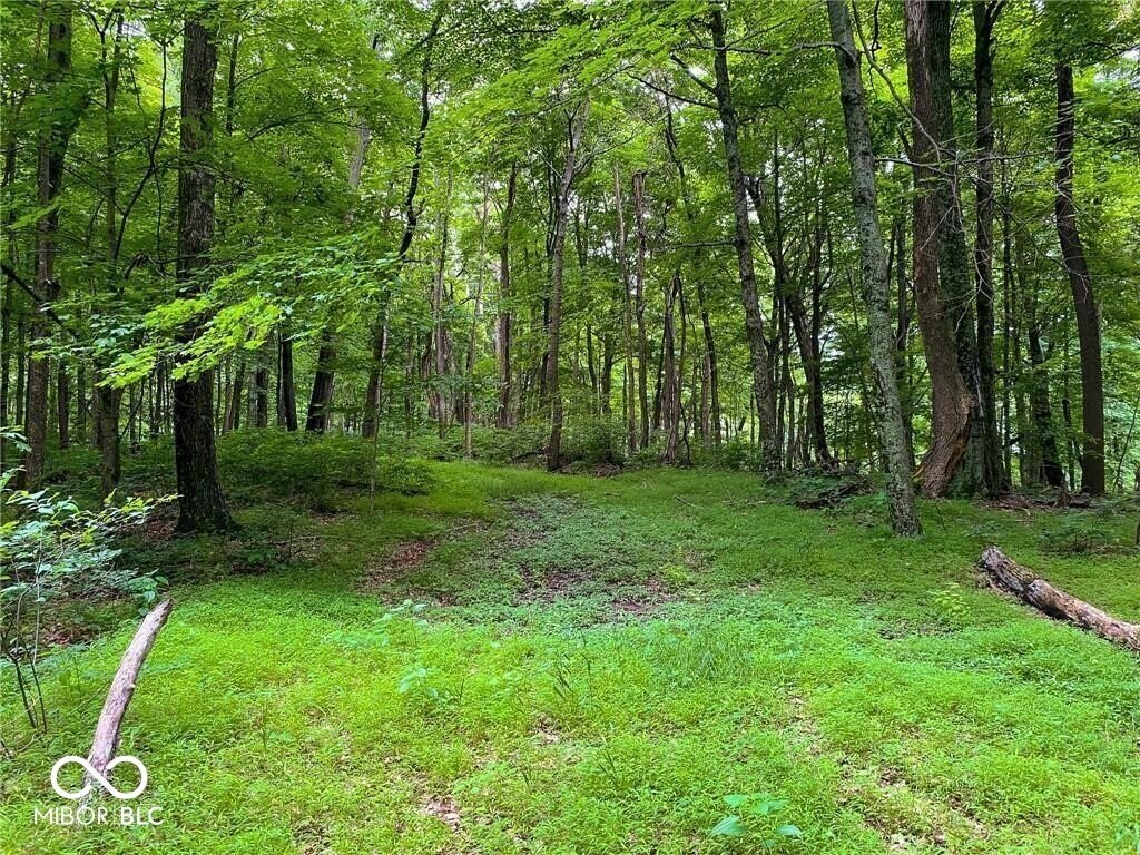
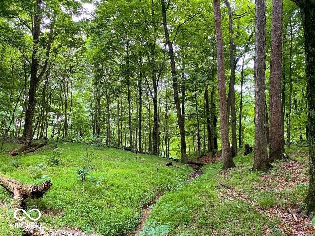
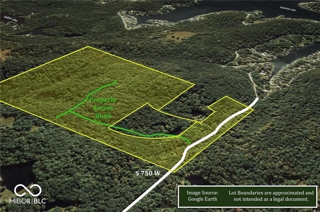
This sale offers 72.75 acres of private, heavily wooded land with plateau-like terrain that includes a generous approximately 10-acre area suited for building on higher ground. The parcel is described as hilly and secluded, with the opportunity to locate improvements atop elevated areas for views of Grandview Lake.
The property is located about 10 miles from Columbus for shopping, work, and schools. It is also noted to be approximately 15 miles from Brown County State Park and about 35 miles from Bloomington. Major cities in driving distance are listed as Indianapolis, Louisville, and Cincinnati.
The land is currently listed as Classified Forest. The seller notes that tax information will be changing once the property is removed from that classification. For buyers looking for a wooded retreat site with elevated building areas and potential lake views, this configuration may fit well for personal recreation use or residential development, subject to applicable zoning and permitting requirements.
Key Highlights
- 72.75 acres of heavily wooded land with private, secluded setting
- Approximately 10 acres of plateau‑like terrain suitable for building atop a high hill
- Potential views of Grandview Lake from the higher building area
Property Analytics
Property Profile
Current Use
Location Intelligence
Trade Area within ½ mile
2
Businesses Nearby
Explore this area
Business Placement
Demographics for 47201, IN
45,969
Population
20,924
Households
2.2
Avg Household Size
36
Median Age
36%
College-Educated
92%
High-School Grad
201.2 sq mi
ZIP Area
228
Density / Sq Mi
$82,667
Median Household Income
$46,243
Median Earnings
$1,159
Median Rent
$217,600
Median Home Value

Questions? Ask Rey
Realmo’s AI knows this listing — price, zoning, demand, history. Ask anything.


Frequently Asked Questions
What type of property is this?
Recreation land - Secluded 72.75-acre woodland parcel with plateau-like high ground and Classified Forest zoning for buyers seeking a private setting.
Where is this recreation land located?
The property is located at 750 West Columbus, IN.
What is the asking price?
The asking price for this property is $999,999.
What are key features of this property?
This property features: 72.75 acres of heavily wooded land with private, secluded setting; Approximately 10 acres of plateau‑like terrain suitable for building atop a high hill; Potential views of Grandview Lake from the higher building area