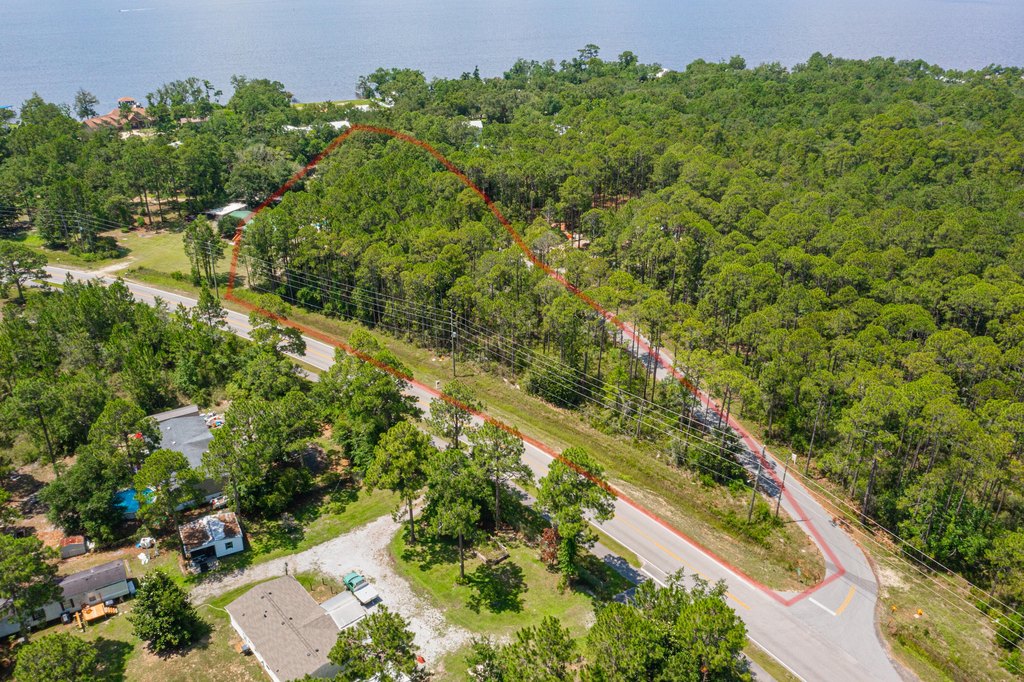
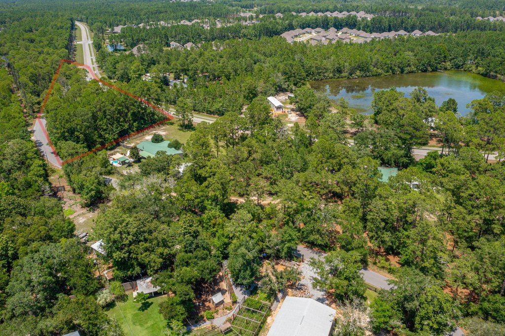
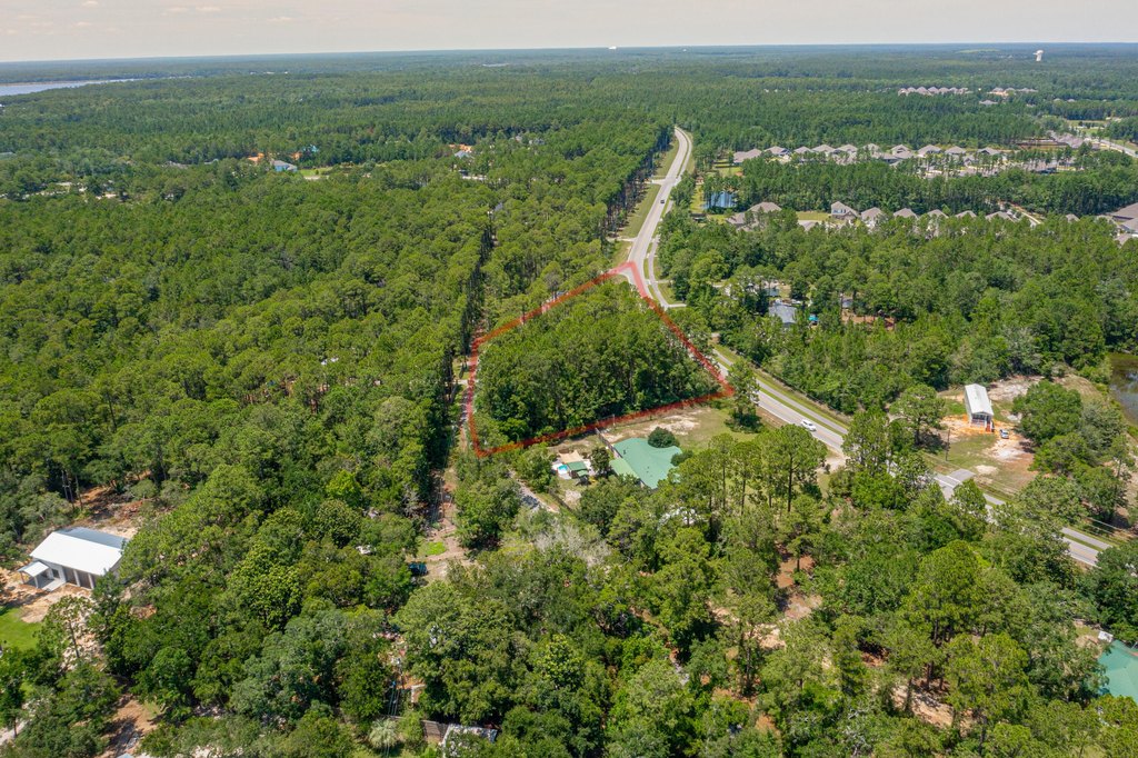
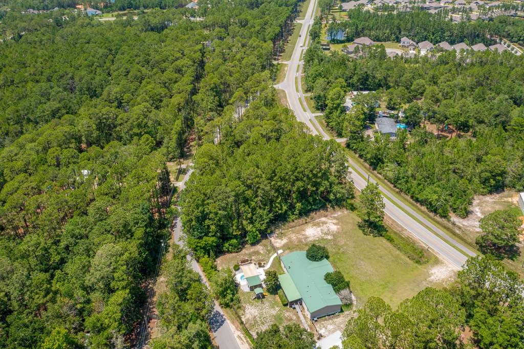
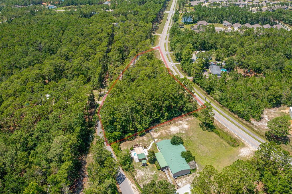
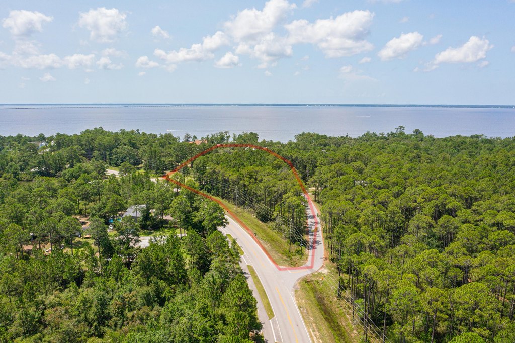
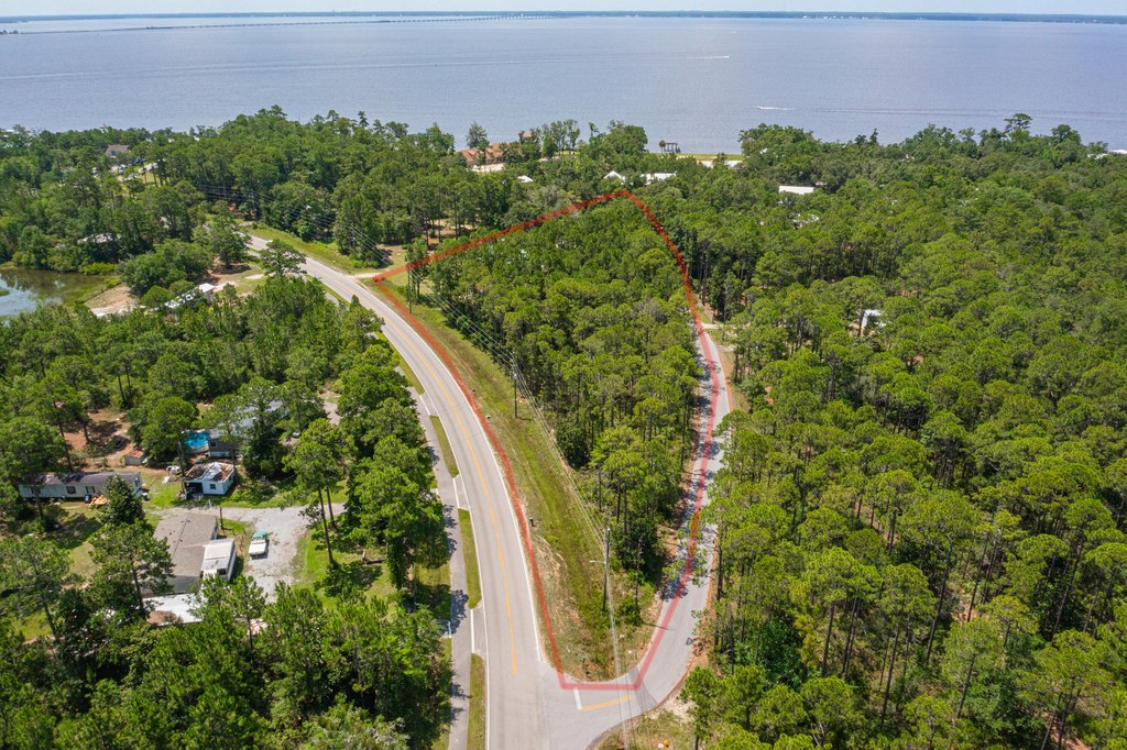
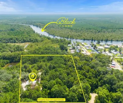
One Acre Wooded
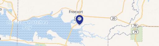
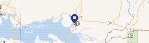
TBD CO83A Co Highway 83A Freeport, FL 32439


TBD CO83A Co Highway 83A, Freeport, FL, 32439
$155,000
For Sale
$155,000
LAND - Freeport, FL
Lot Size1.00 Acre
Days on Market79
Property Features for TBD CO83A Co Highway 83A
General Information
- Property type
- Land
- Property subtype
- Other
- Zoning
- County
- Standard status
- Active
- APN
- 31-1S-19-23000-010-0050
- Lot size
- 1.00 Acre
Taxes and HOA fees
- Tax Year
- 2025
- Tax Description
- COM NW/C OF NE4, N 89 DEG 50'10'' E 206.28 FT TO W R/W OF C-83-A S 13 DEG 59'10'' E 33.22 FT TO POB, CONT SELY ALONG CURVE 504.74 FT, S 48 DEG 53'43'' W 204.02 FT TO GRADED RD, N 43 DEG 02'12'' W 52.85 FT, N 14 01'42'' W 244.27 FT, N 3 DEG 52'31'' E 308.55 FT TO POB OR 2560-32 OR 2600-1535 OR 2785-4097
- Tax Annual Amount
- 139
Listing agency
LPT Realty LLC
(877) 366-2213
Listed by
Brandy G Gniazdowski · License #3511571
(321) 439-7204
Added: May 5 Updated: Jun 29 at 11:34PM Checked: Jul 22 at 3:06AM
MLS# 1002353
Copyright © 2026 Emerald Coast Association of Realtors. All rights reserved. All information provided by the listing agent/broker is deemed reliable but is not guaranteed and should be independently verified.
Investment Insights
Based on property information with market context.
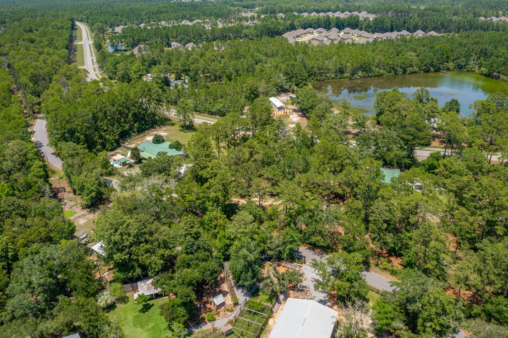
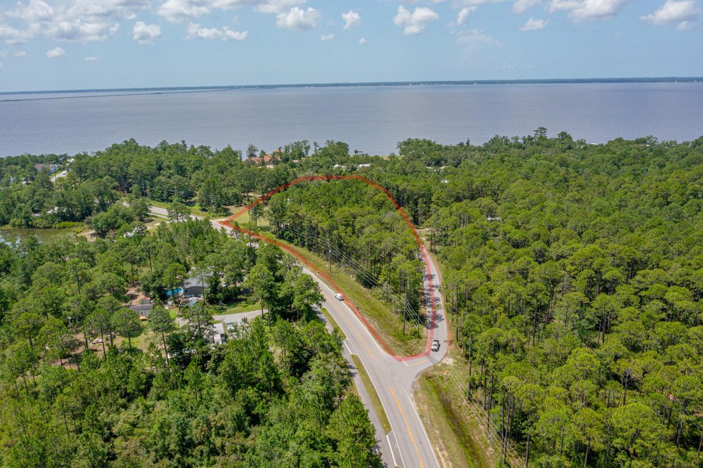
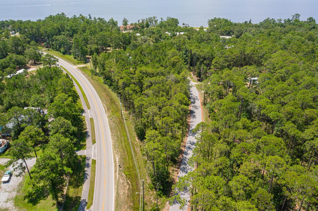
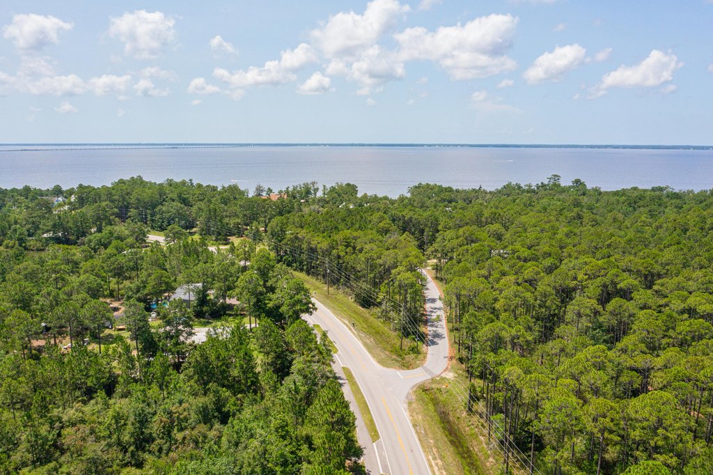
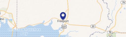
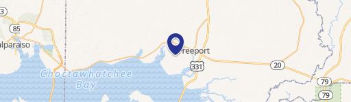
This one-acre wooded lot is located less than a mile from Choctawhatchee Bay in Freeport, Florida. The property is situated in Flood Zone X, which means there is no flood insurance requirement. The land is covered with mature trees and has no HOA or restrictions. This Walton County land is suitable for building a fishing camp, vacation getaway, or permanent home.
Key Highlights
- Located less than a mile from Choctawhatchee Bay
- Located in Flood Zone X, meaning no flood insurance required
- One‑acre wooded lot
Property Analytics
Property Profile
Location Intelligence
Current Use by Public Records
Land
Similar For Sale Nearby


FAQs
What type of property is this?
Land - One-acre wooded lot near Choctawhatchee Bay in Freeport, Florida.
Where is this land located?
The property is located at TBD CO83A Co Highway 83A Freeport, FL.
What is the asking price?
The asking price for this property is $155,000.
What are key features of this property?
This property features: Located less than a mile from Choctawhatchee Bay; Located in Flood Zone X, meaning no flood insurance required; One‑acre wooded lot


