Cr 50, Celina, TX 75009
- Added:
- Jun 17, 2025
- Days on Market:
- 353
- Last Refresh:
- Jun 4 at 10:06 pm
Property Features for Cr 50
General Information
- Property type
- Land
- Property subtype
- Other
- Standard status
- Active
- APN
- R678800000701
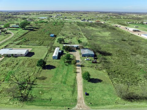
- Lot size
- 33.00 Acres
Listing agent Rex Qiu License #0706678 (972) 664-0500
Listing office Aoxiang US Realty Richardson, TX (469) 605-4508
Listing date Jun 17, 2025
Copyright © 2026 North Texas Real Estate Information Systems, Inc. All rights reserved. All information provided by the listing agent/broker is deemed reliable but is not guaranteed and should be independently verified.
HighLights
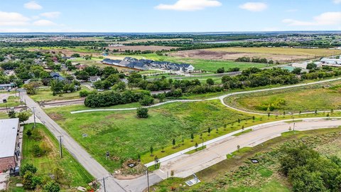
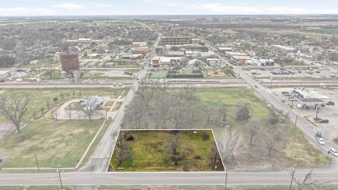
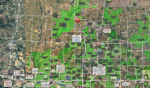
- +/-33.62 acres in the Celina high‑growth corridor near the Dallas North Tollway (0.9 miles) and the 500' ROW Outer Loop
- Currently zoned AG; check Celina ETJ and EDC map for development possibilities
- Partially in Zone A floodplain near a seasonal creek
- Surrounded by major PDs, MF‑2, and commercial zoning tracts, with potential for mixed‑use, multifamily, or phased residential development (per surrounding zoning)
- Located in Prosper ISD near Light Farms, The Columns, and multiple entitled multifamily communities
- Power available via CoServ Oncor
Overview
The property sits just 0.9 miles from the Dallas North Tollway (Phase 4A under construction) and the 500' ROW Outer Loop. As described in the remarks, the surrounding area includes major PDs, MF-2, and commercial zoning tracts, which can be helpful context for mixed-use, multifamily, or phased residential concepts. It is also located within Prosper ISD, minutes from Light Farms, The Columns, and several entitled multifamily communities.
For developers, investors, and land buyers, the combination of existing AG zoning, nearby infrastructure expansion, and the surrounding entitlements supports a strong development thesis. With the noted floodplain portion and the need to confirm Celina’s ETJ and EDC requirements, this site is best suited for an operator comfortable working through planning constraints and pursuing a phased approach aligned with local growth patterns.
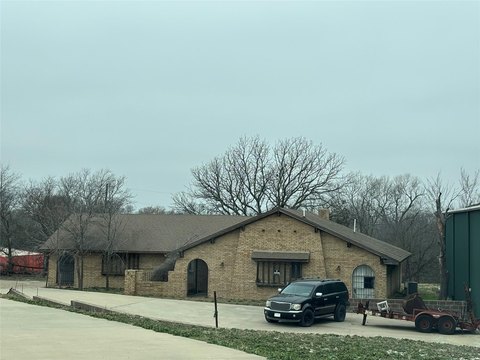
Current Use by Public Records
Map
- City
- Celina
- County
- Collin
- State
- Texas
- Longitude
- -96.8161961
- Latitude
- 33.2802669