Cascade, MT 59421, Cascade, MT 59421
- Added:
- Apr 11, 2026
- Days on Market:
- 87
- Last Refresh:
- Jul 6 at 9:06 am
Property Features
General Information
- Property type
- Land
- Property subtype
- Other
- Standard status
- Active
- APN
- 02277502401010000
- Lot size
- 1,424.00 Acres
Taxes and HOA fees
- Tax Year
- 2025
- Tax Description
- 10 Parcels: S02, T18 N, R01 E, LOTS 3 - 4 AND S35, T19 N, R01 E, LOTS 5-6, SESW AND S02, T18 N, R01 E, S2NE4, SE4NW4, LOT 5, SE4, IN SW4 AND S02, T18 N, R01 E, LOT 2 AND S11, T18 N, R01 E, IN NE NW/RD AND S35, T19 N, R01 E, LOTS 7-8, NESE, S2SE AND S01, T18 N, R01 E, IN SW4SW4 AND S25, T19 N, R01 E, LOTS 6-9, SESW AND S31, T19 N, R02 E, E2SW, LOT 4 AND S08, T18 N, R02 E, NW/4, W2SW, SESW, SWSE
- Tax Annual Amount
- 3206
Utilities
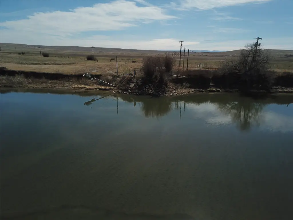
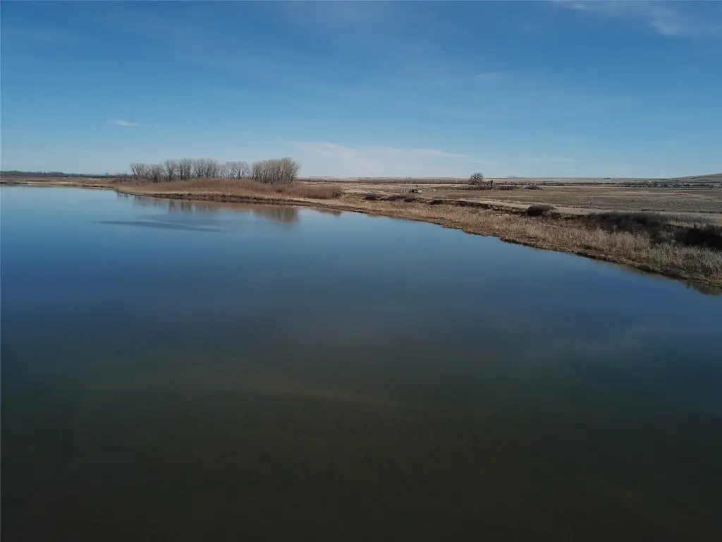
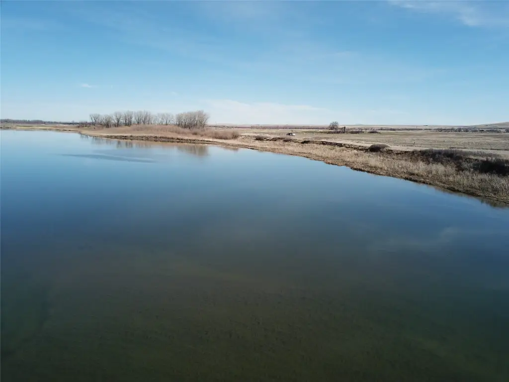
- Water front features
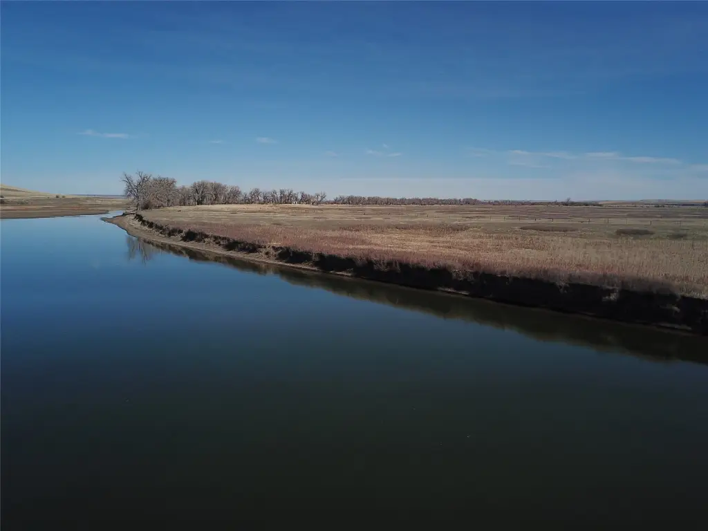
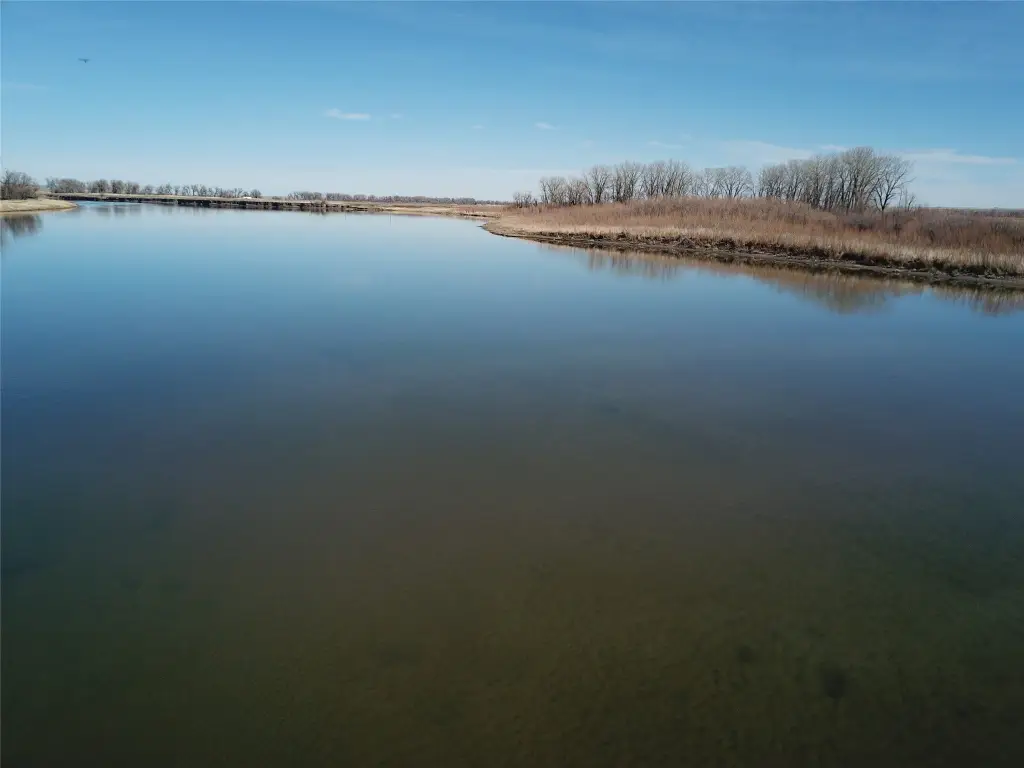
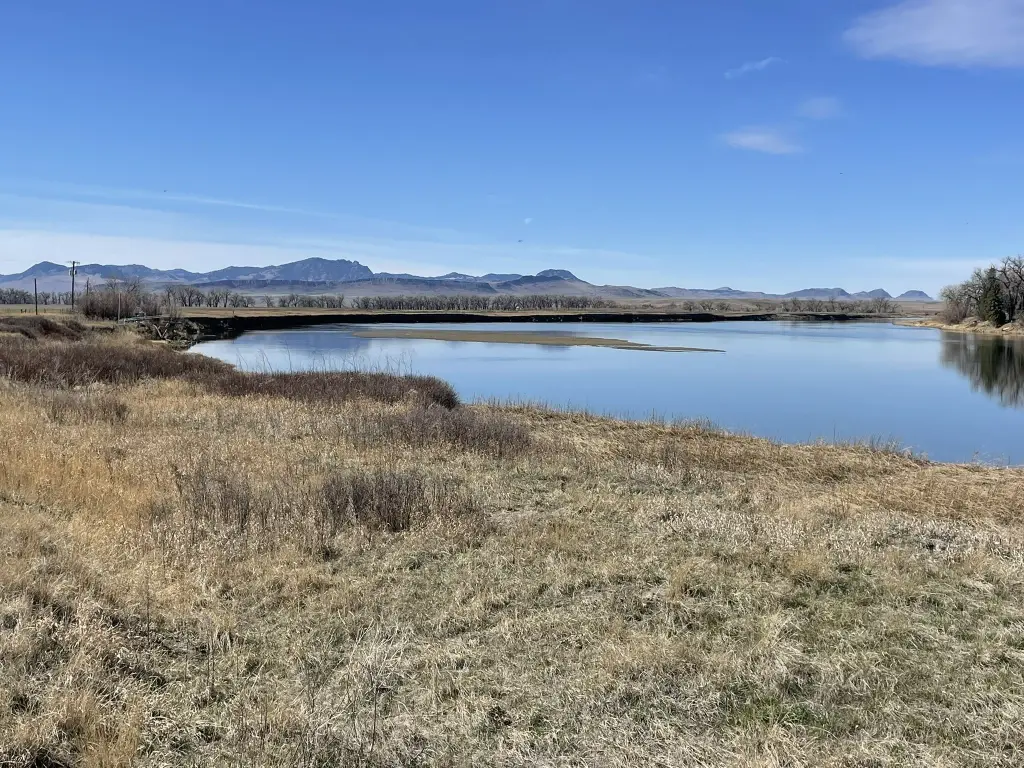
- Navigable Water, Waterfront, River Front
- Water front
- 1
Listing agent Ron Muzzana License #RRE-RBS-LIC-16910 (406) 899-9317
Listing office HomeSmart Realty Partners 432 E Idaho St # C-418, Rock Springs, MT (406) 558-4779
Listing date Apr 11, 2026
Copyright © 2026 Montana Regional MLS. All rights reserved. All information provided by the listing agent/broker is deemed reliable but is not guaranteed and should be independently verified.
HighLights
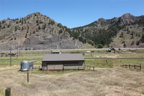
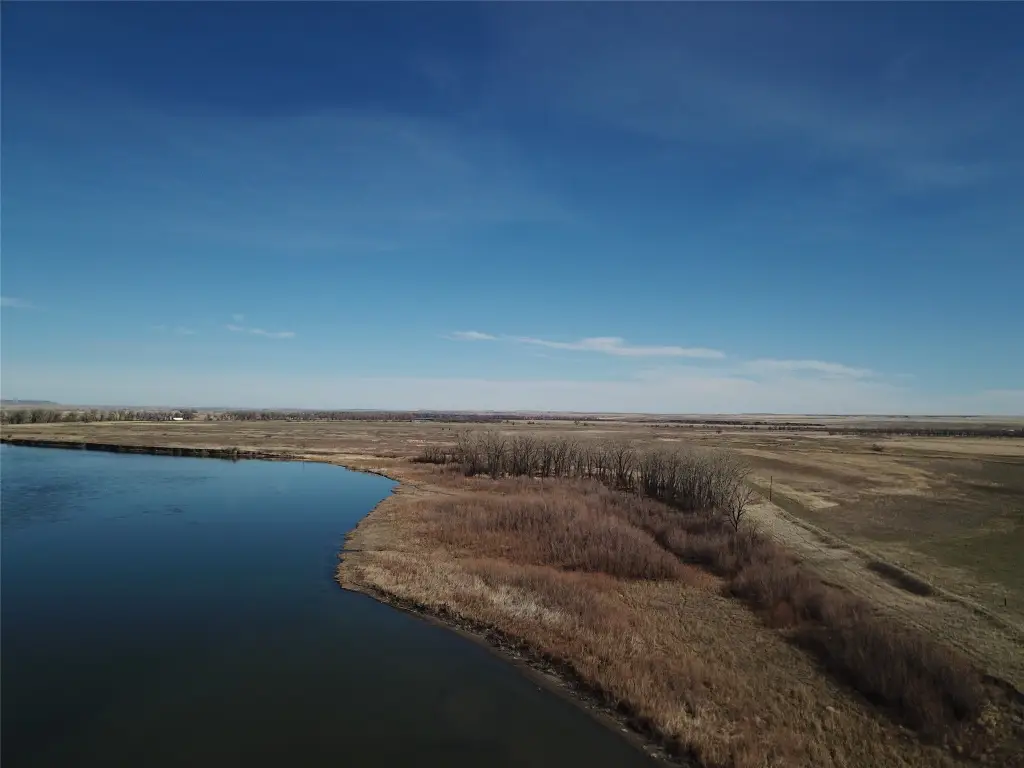
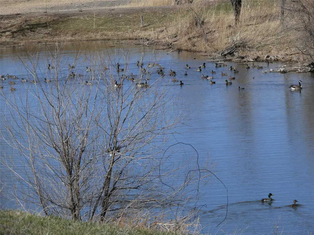
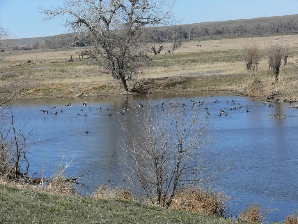
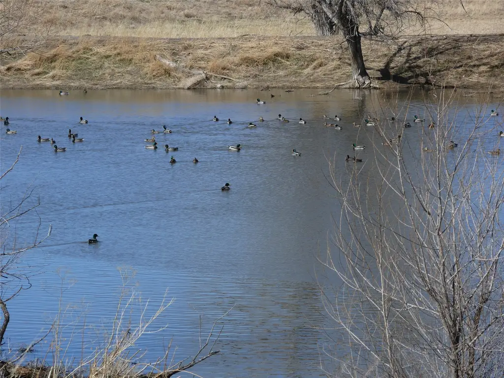
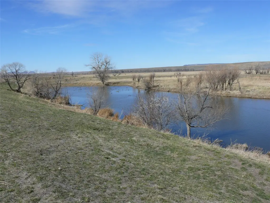
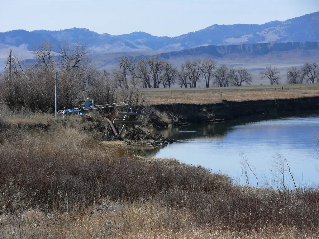
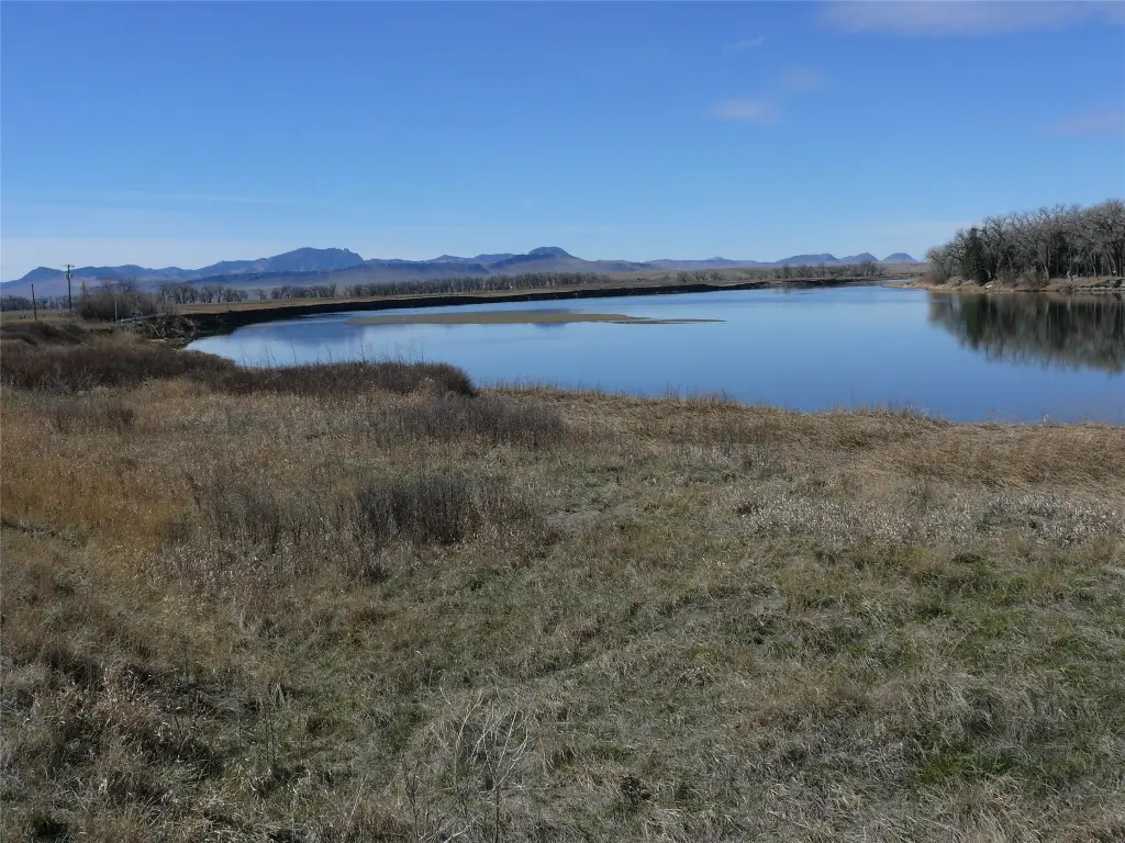
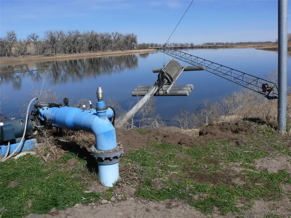
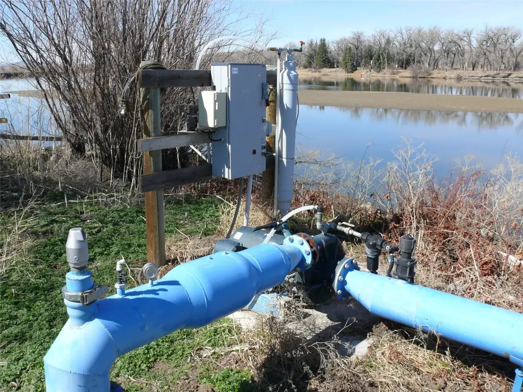
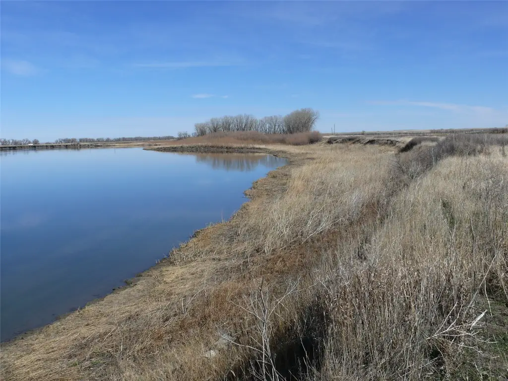
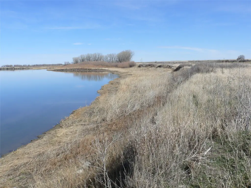
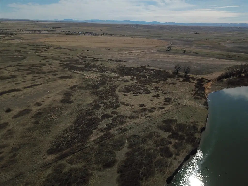
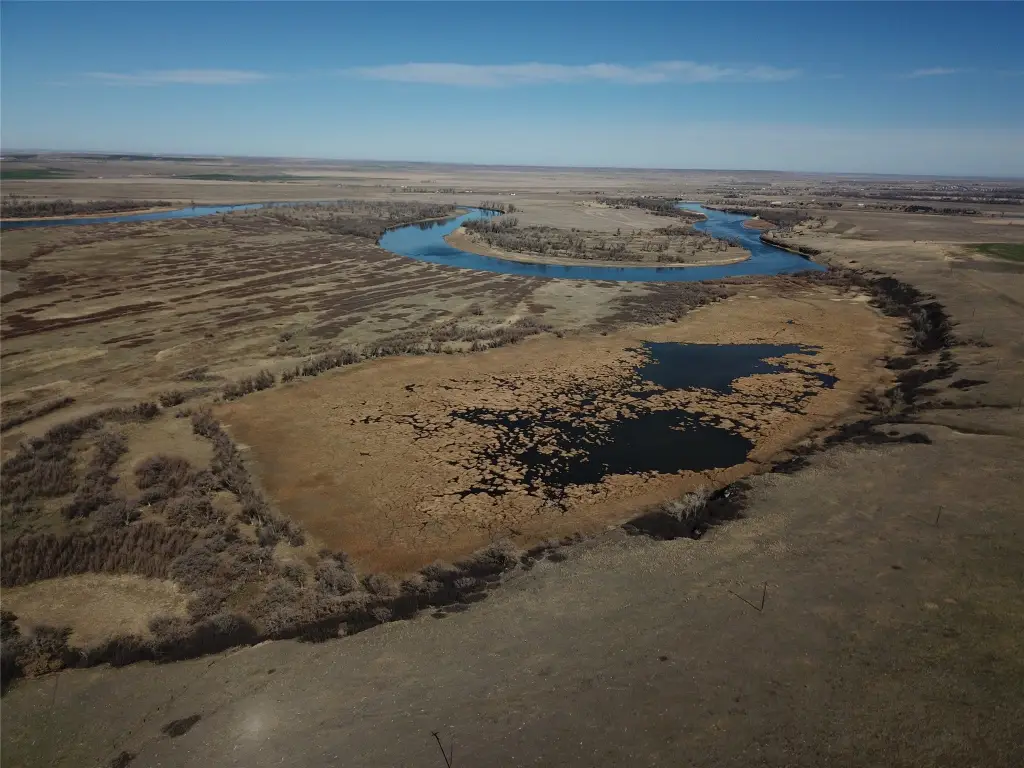
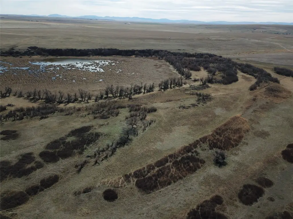
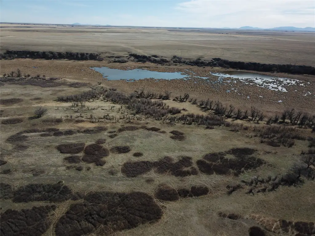
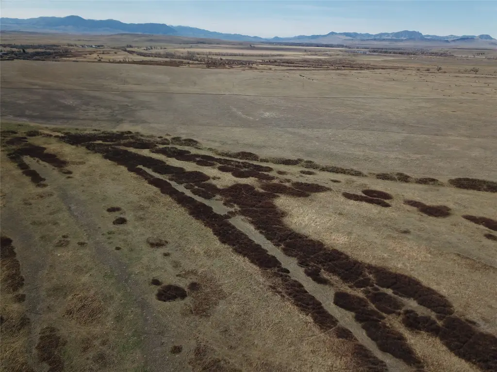
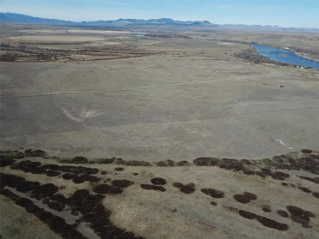
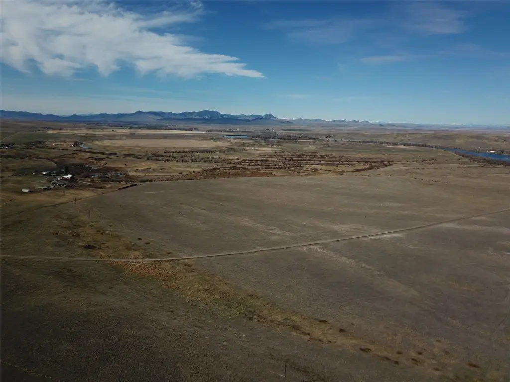
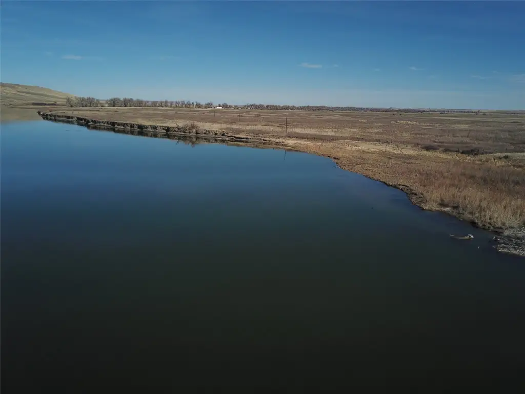
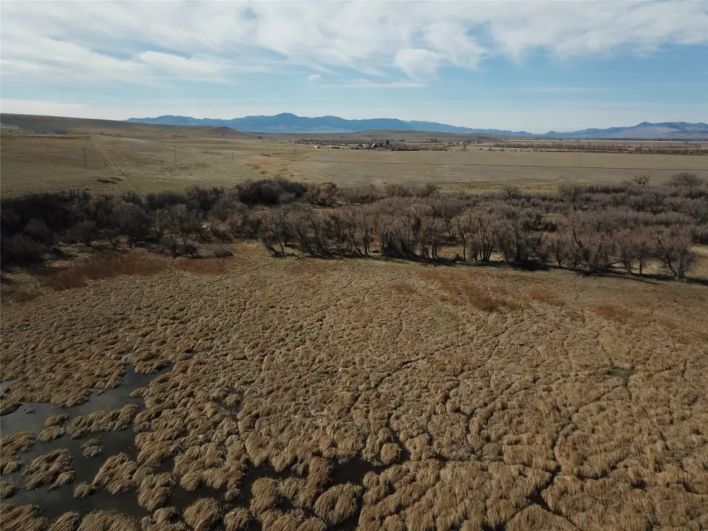
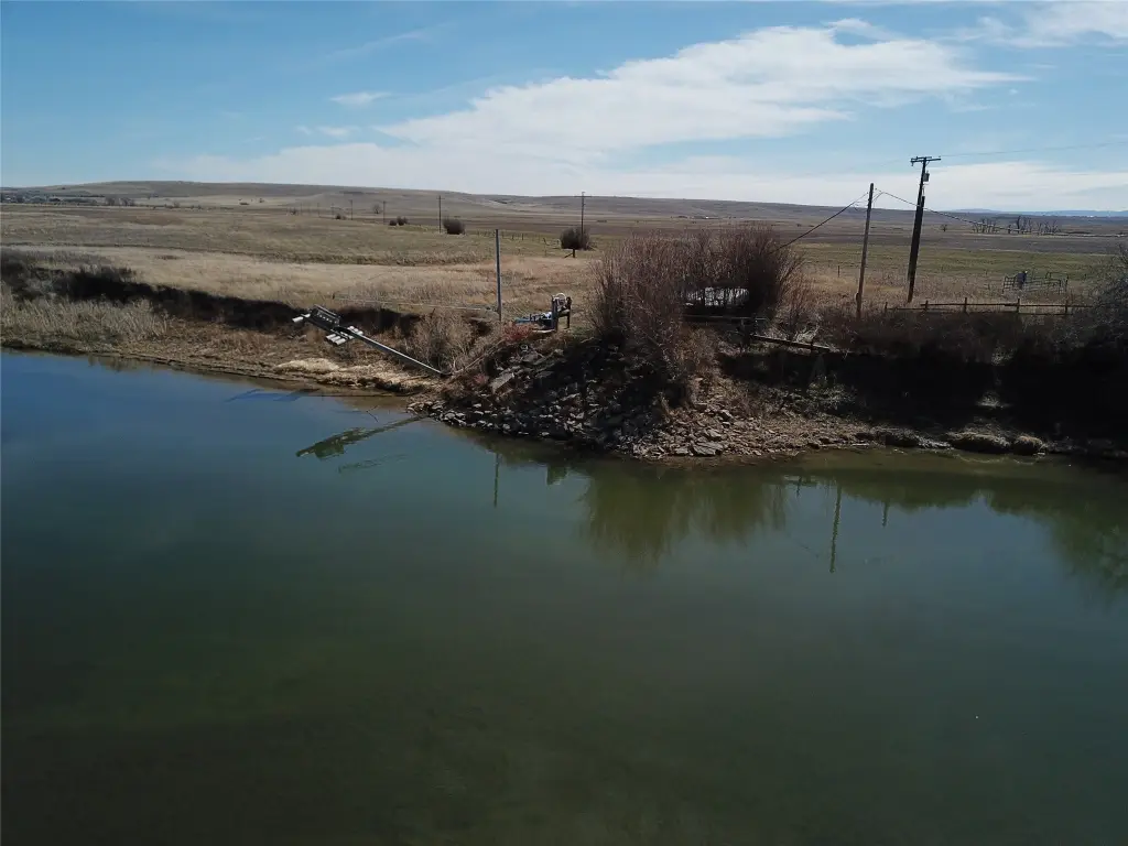
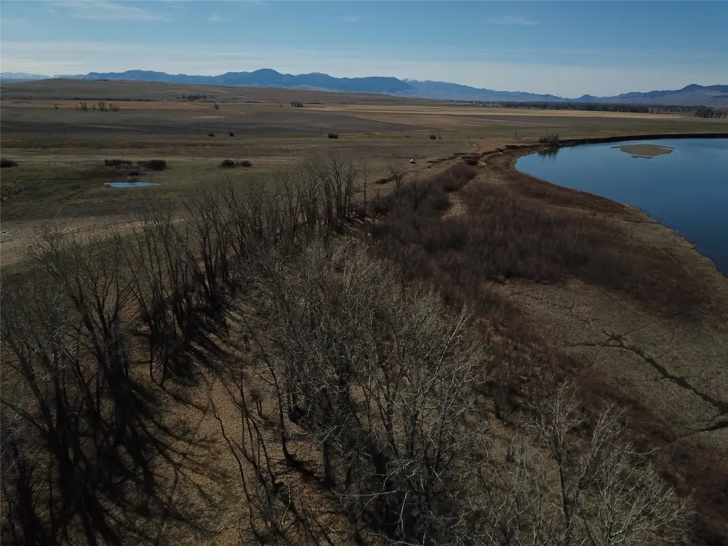
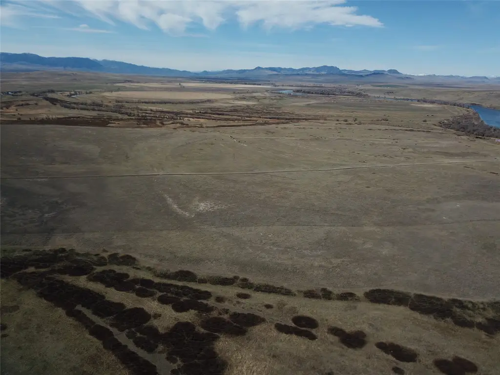
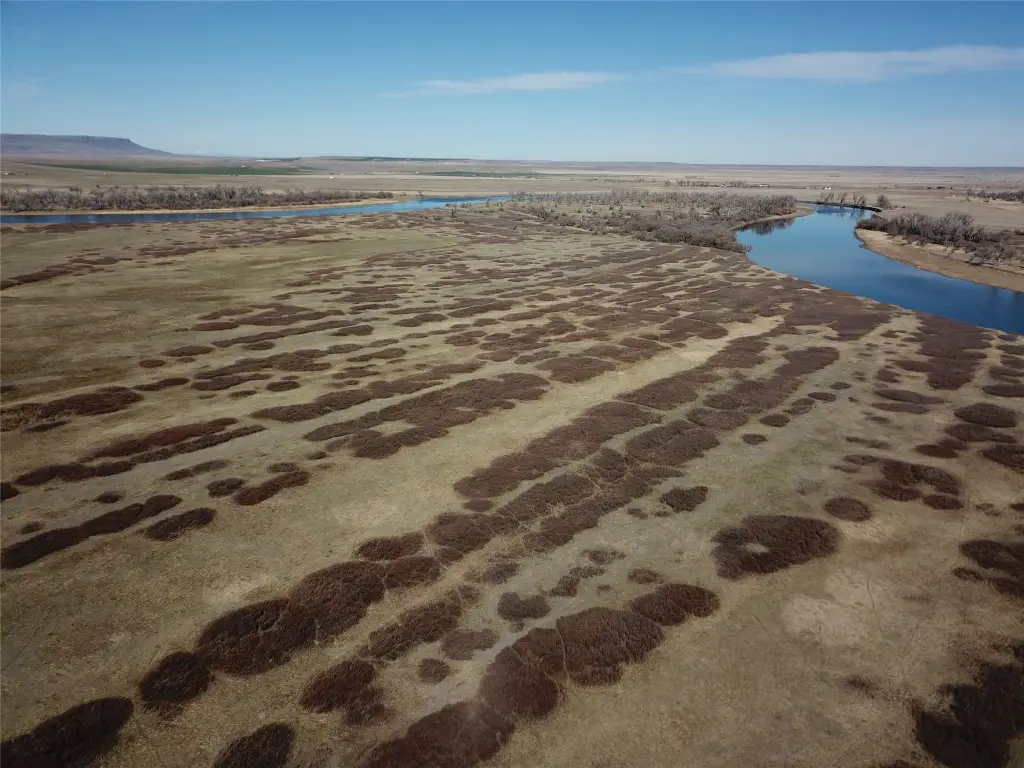
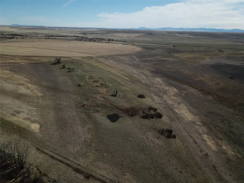
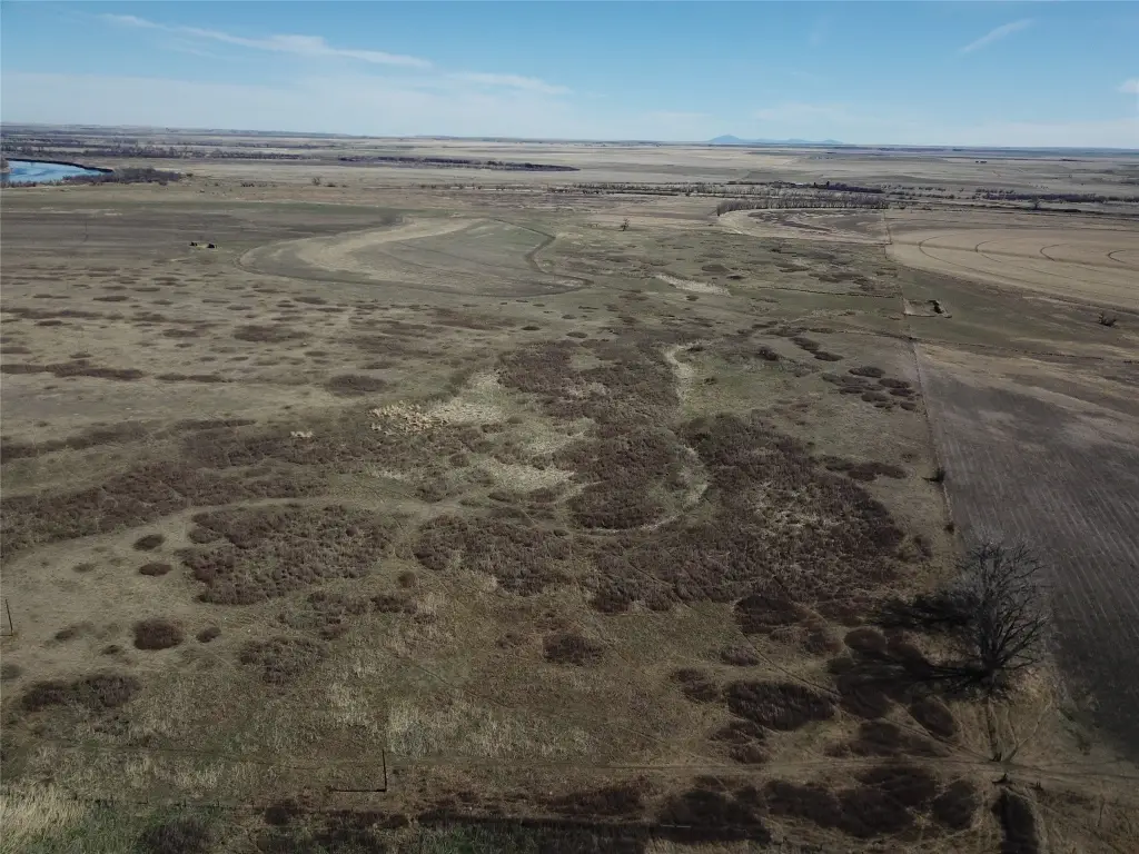
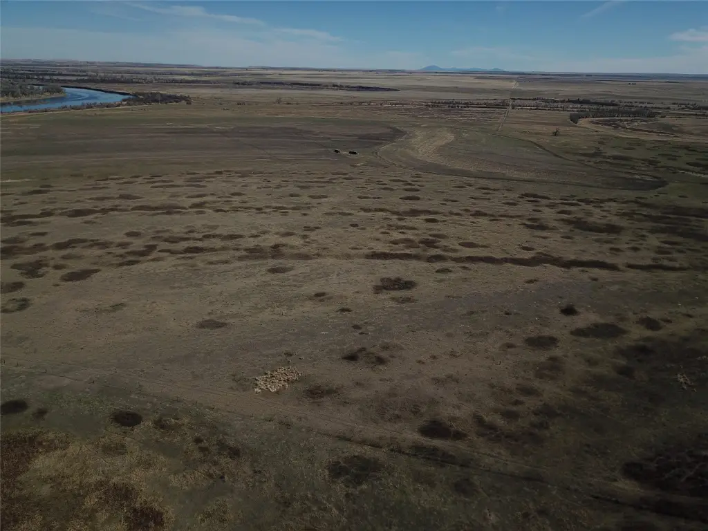
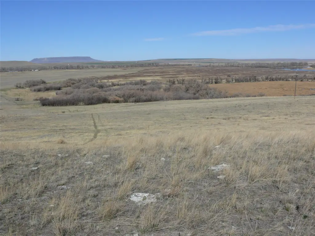
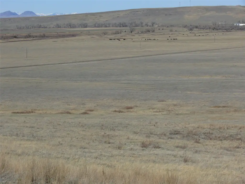
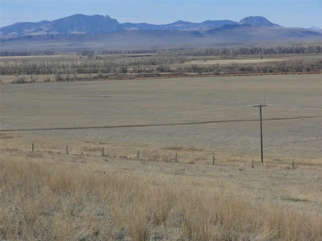
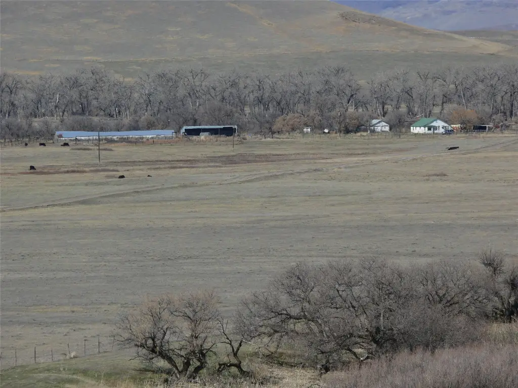
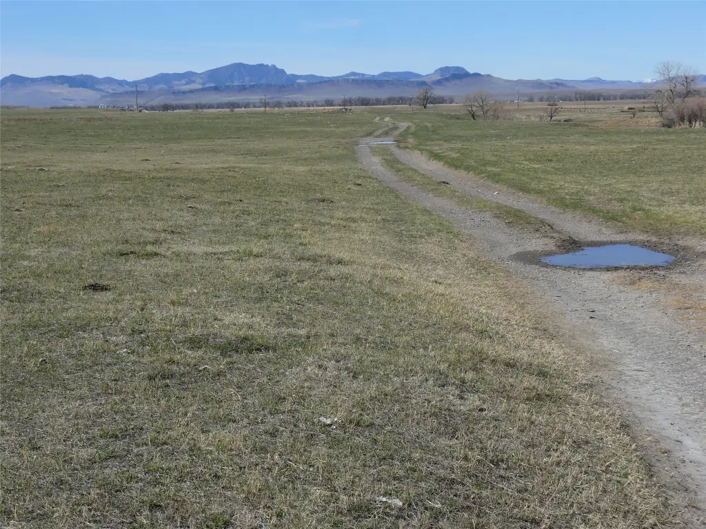
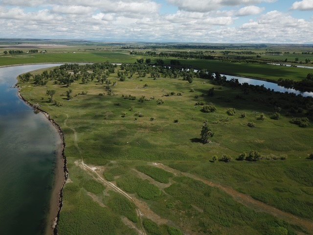
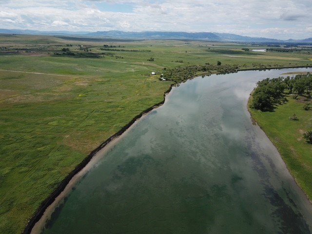
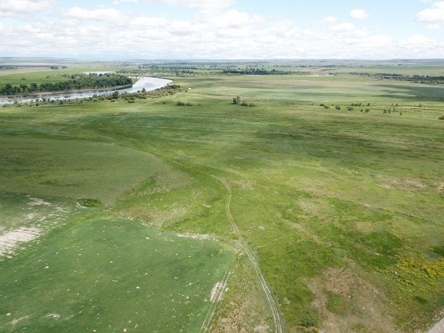
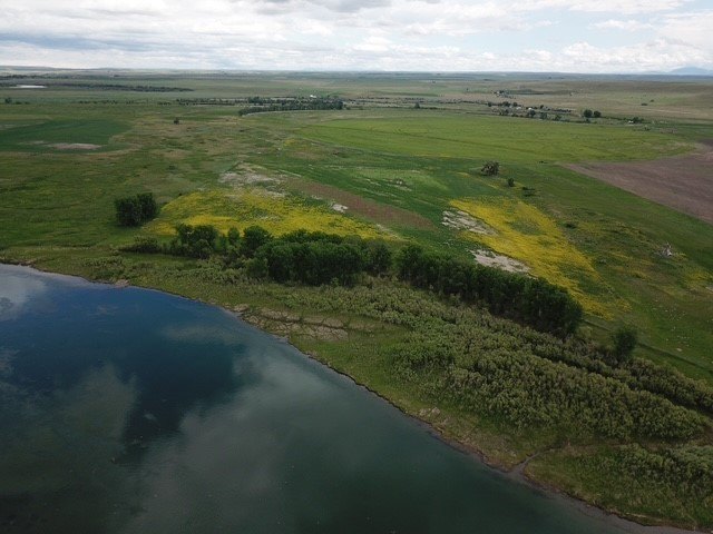
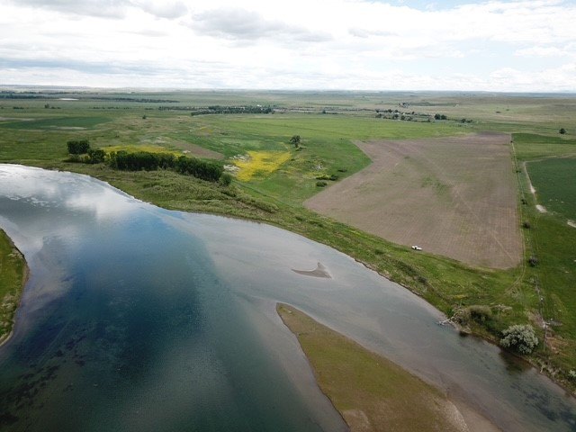
- 10‑parcel land offering approximately 4.5 miles of Missouri River frontage
- Includes 1424.25 +/- deeded acres plus 806 +/- acres of state leased land
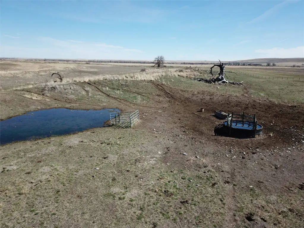
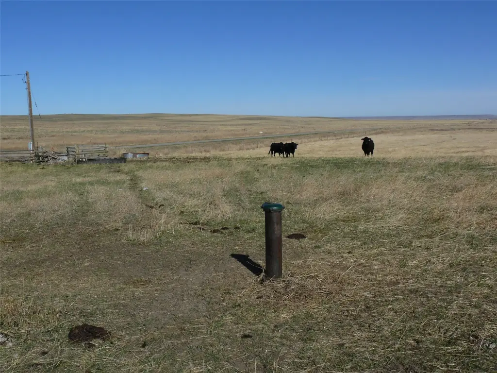
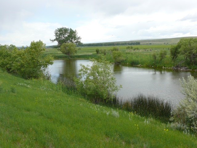
- Water rights included: 4 total, including an artisan well that runs all year
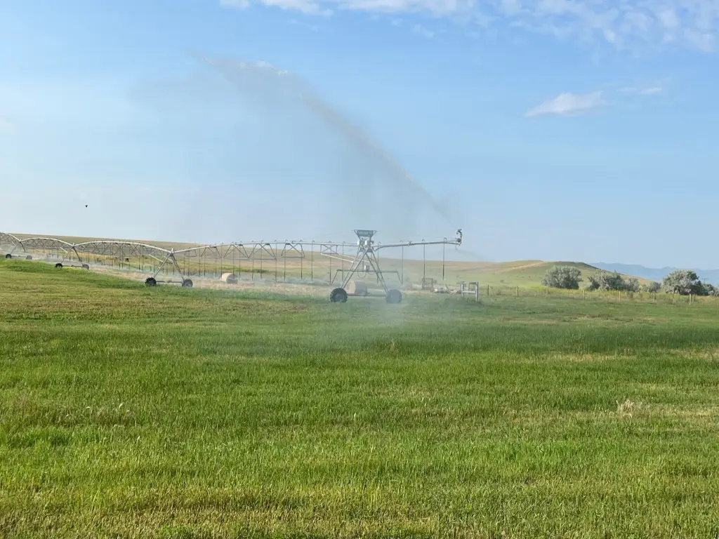
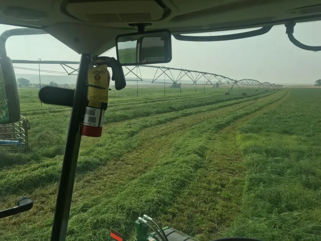
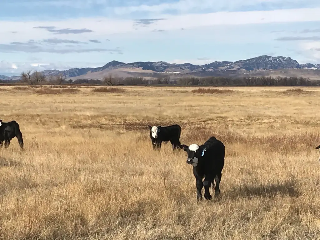
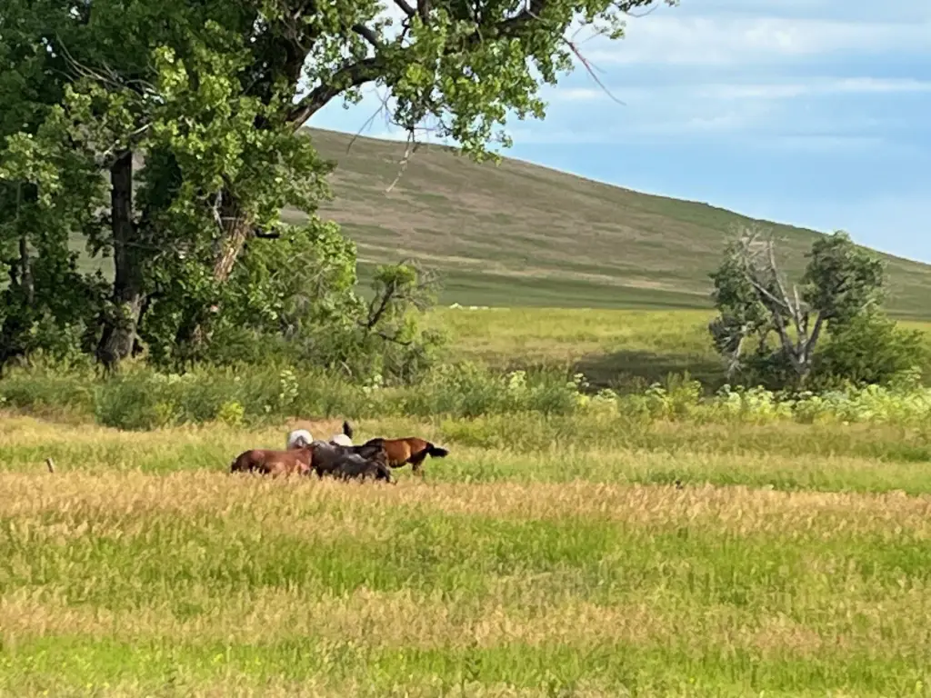
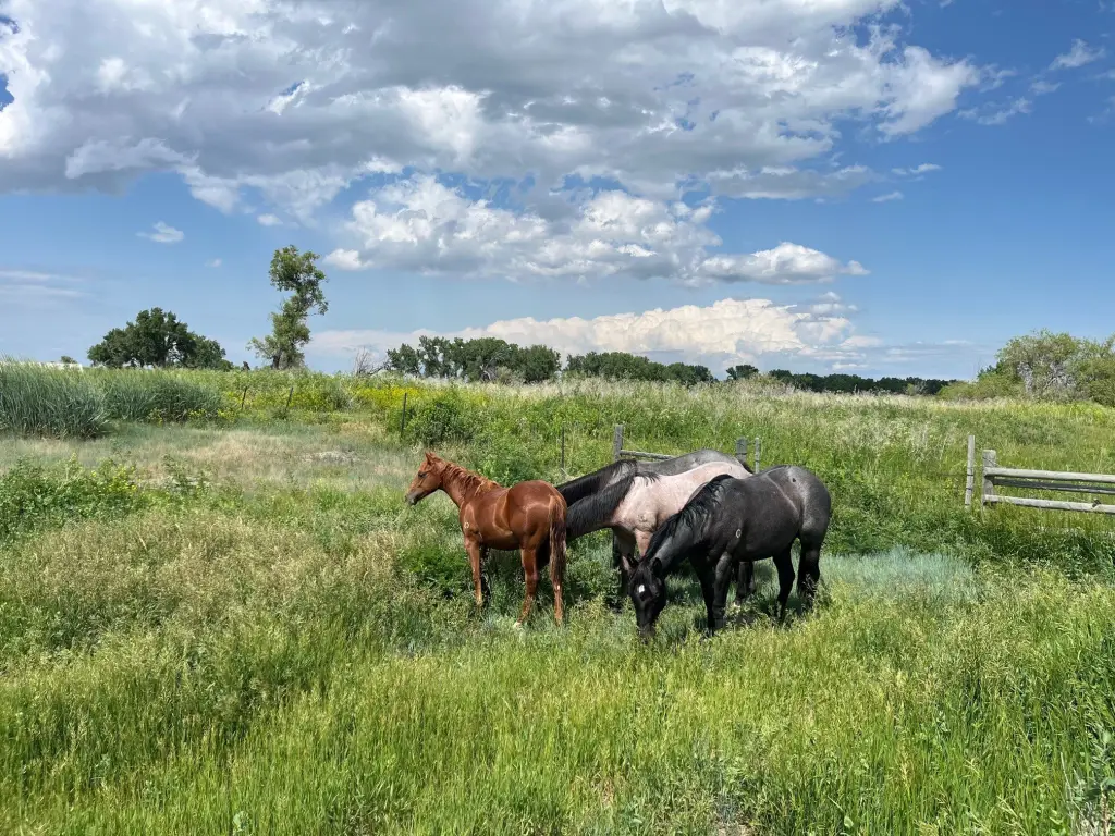
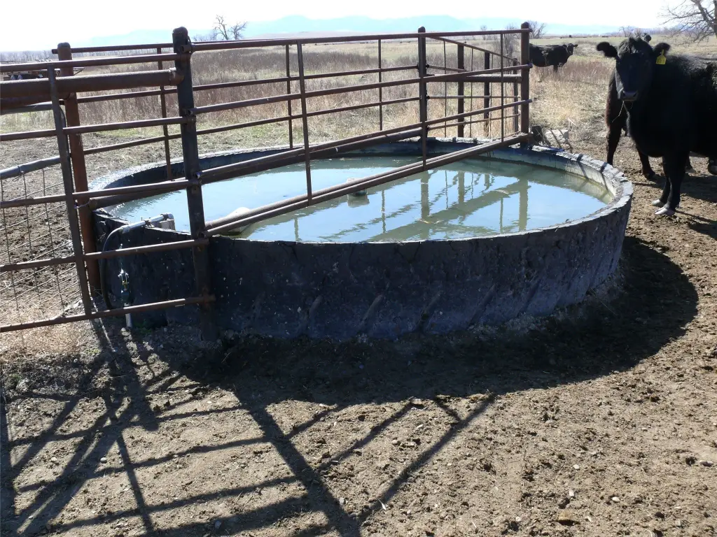
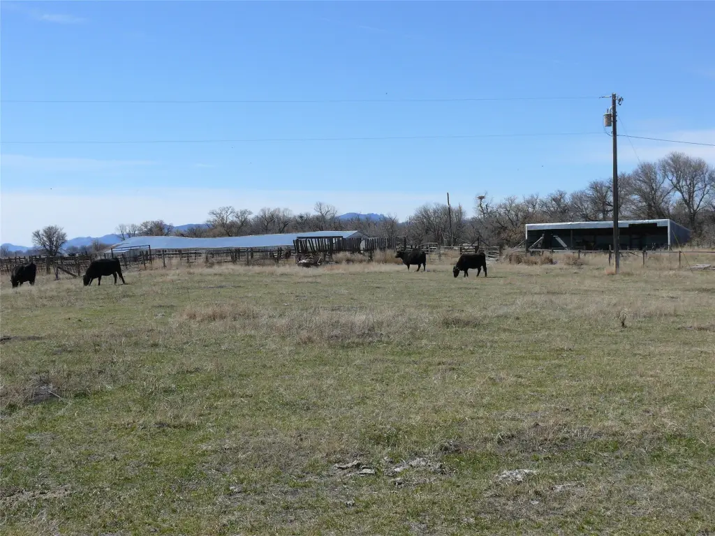
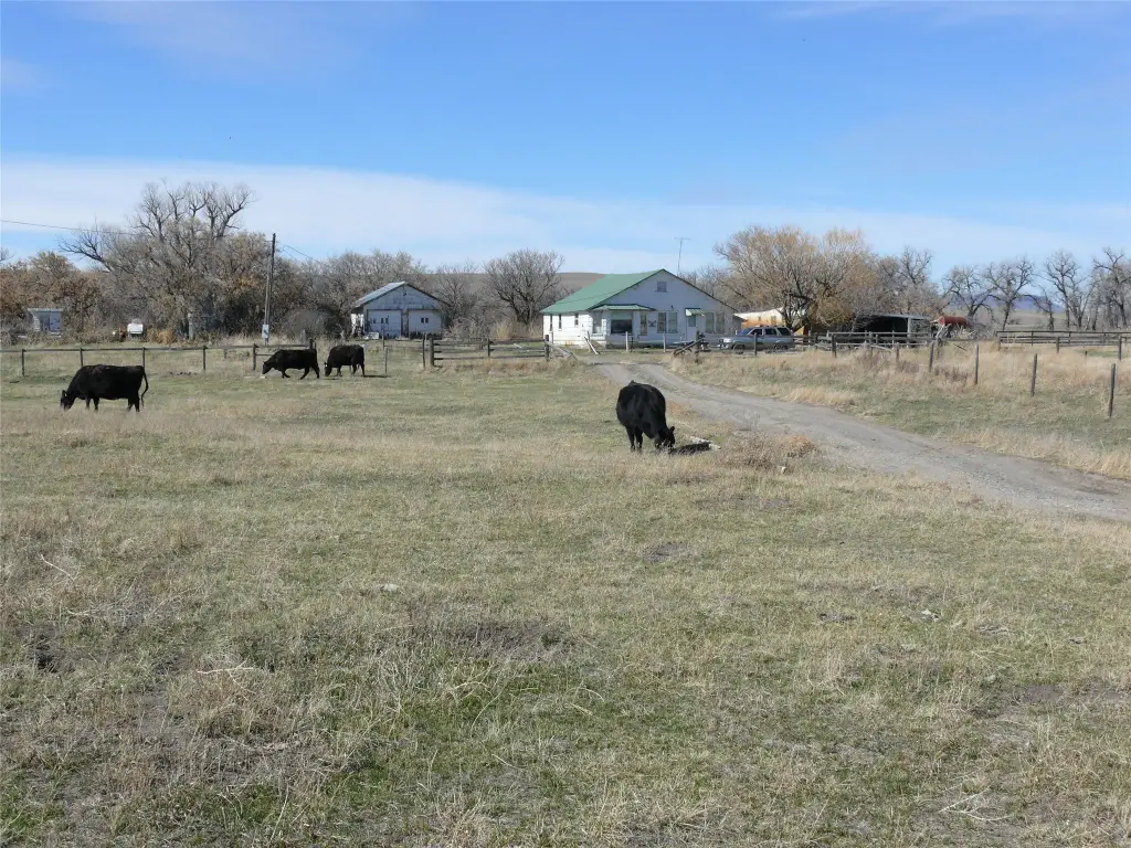
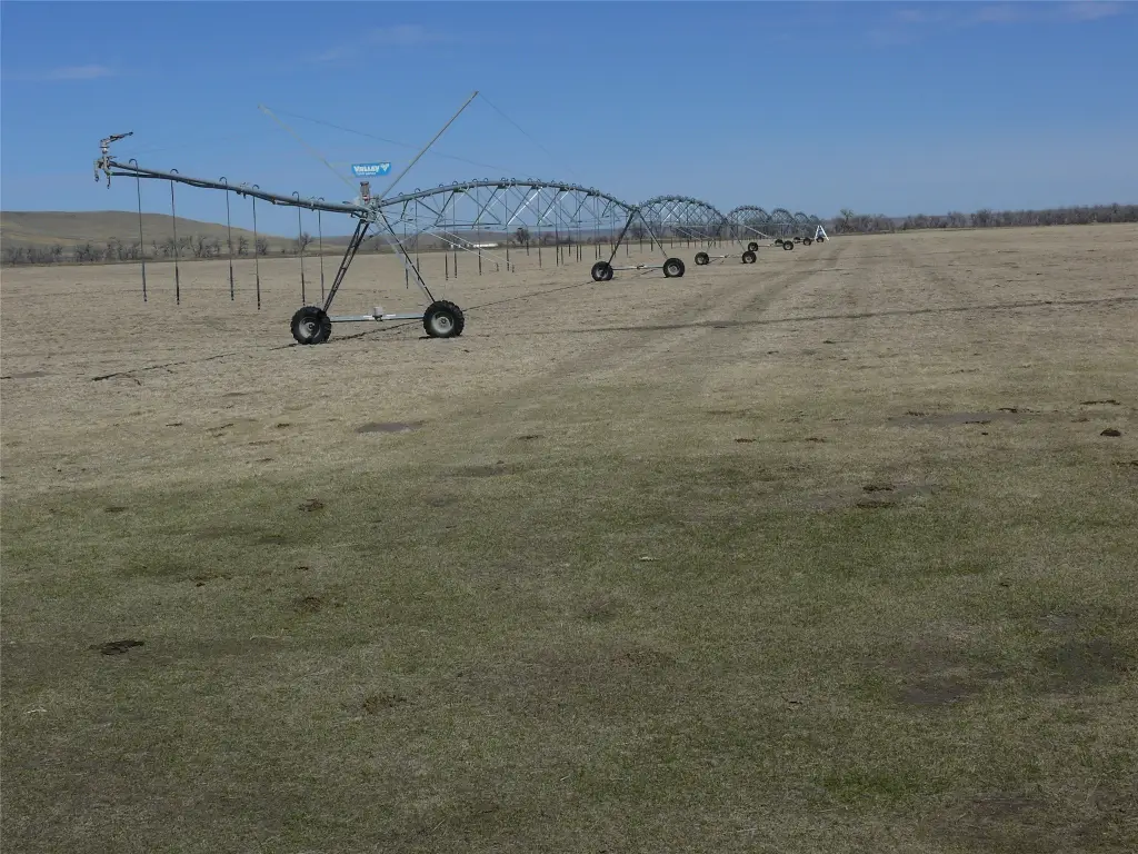
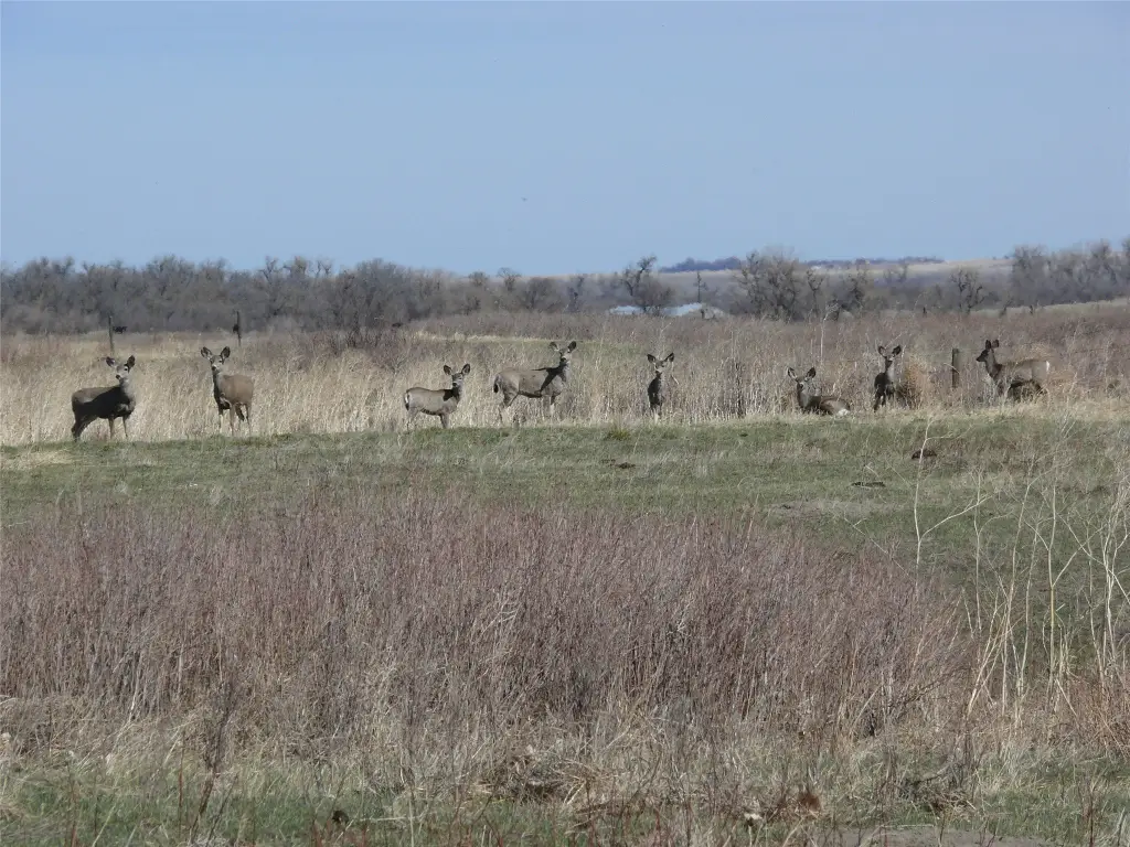
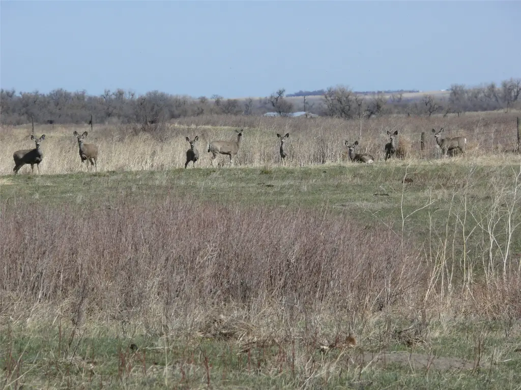
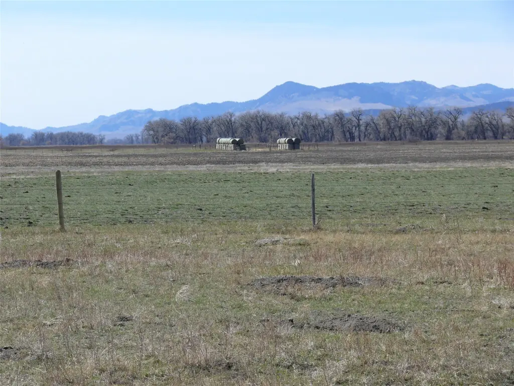
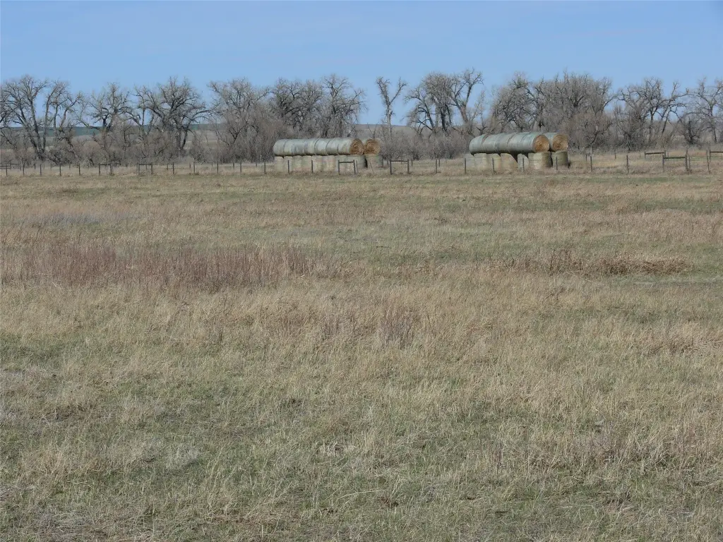
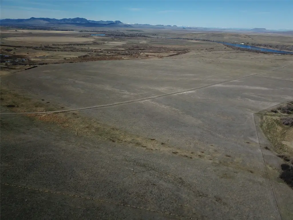
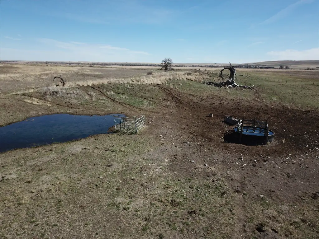
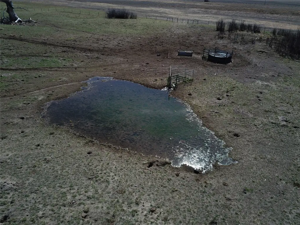
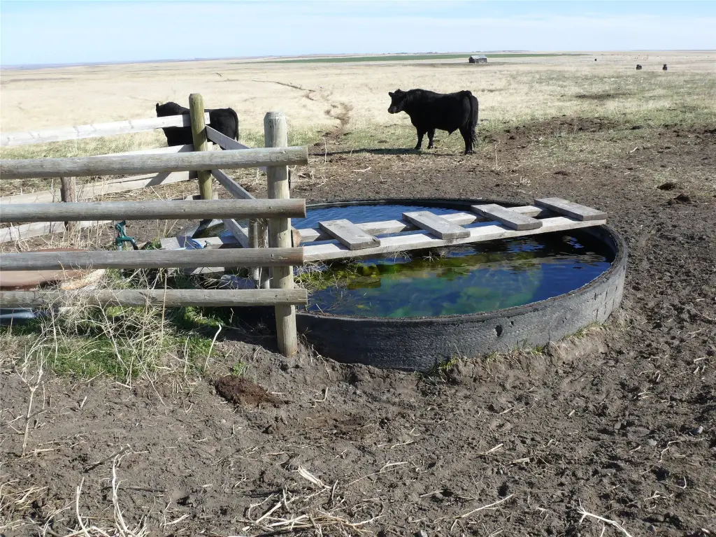
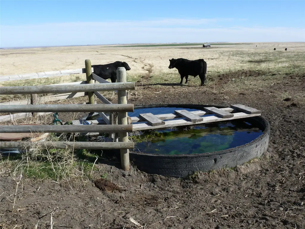
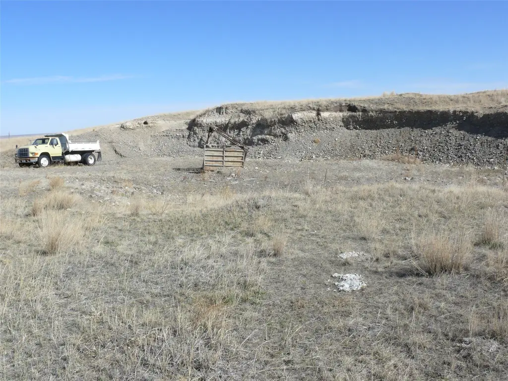
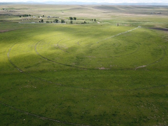
- All fenced/cross‑fenced with auto waterers and tire tanks; current use is farming/ranching
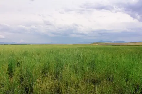
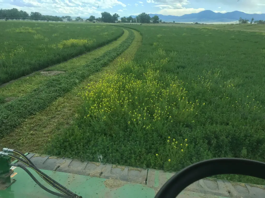
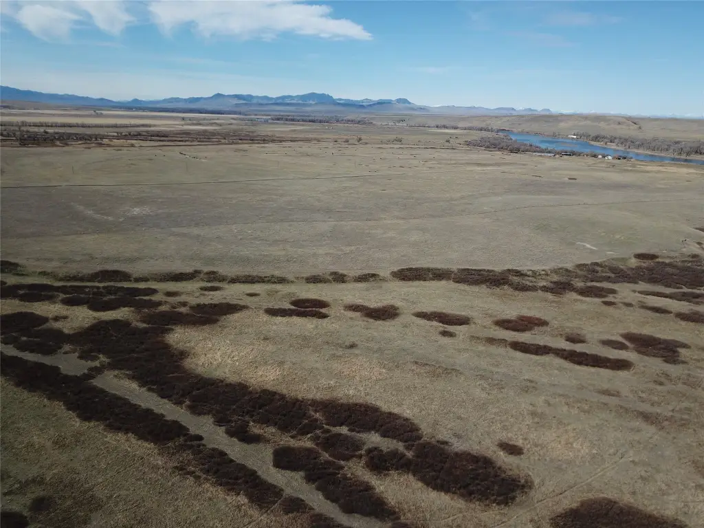
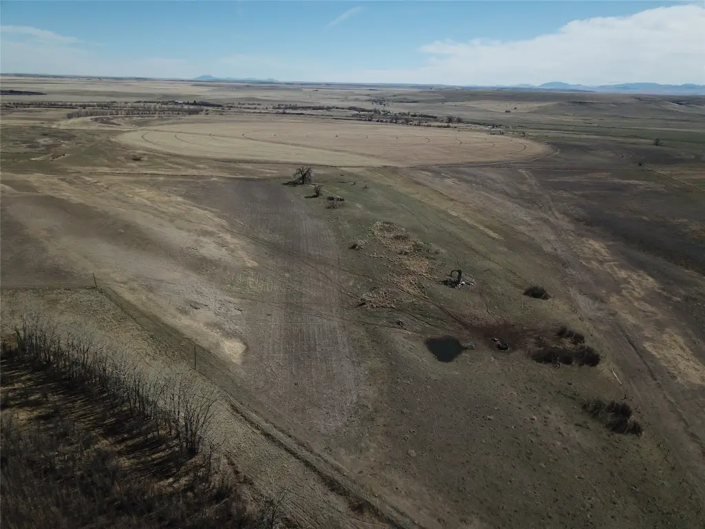
- Irrigation and cropland: 138 +/- acres irrigated (water rights for 432 acres) plus 797 +/- acres listed for 2025 Cropland FSA
- Also includes 659 +/- acres dryland farm ground and 92 +/- acres of winter wheat to CR for 3 years
Overview
Current Use by Public Records
Map
- City
- Cascade
- County
- Cascade
- State
- Montana
- Longitude
- -111.5685643
- Latitude
- 47.34213632