Mountain Hunting
For Sale
$895,000
Carrie Creek Rd. Smokey Mountains, Fairfield, ID 83327
Land, Fairfield, ID
Property SizeContact for details
Lot Size192.00 Acres
Days on Market8
Property Features for Carrie Creek Rd. Smokey Mountains
General Information
Property type
Land
Property subtype
Other
Subdivision
0 Not Applic.
Lot features
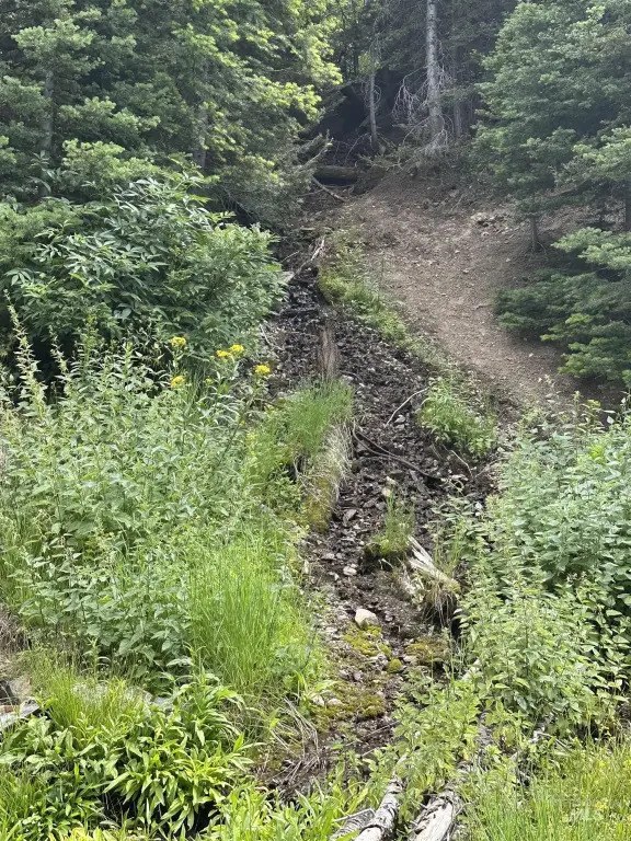
Over 40 Acres, Sloped, Surveyed, Wooded, Borders Public Owned Land, Canyon Rim
Directions
North of Fairfield to Carrie Creek Rd. or West of Ketchum, ID on Warmsprings Rd. 22 miles. The Property is 2 miles west of Dollarhide Pass.
Standard status
Active
APN
RPM00750000010A
Lot size
192.00 Acres
Taxes and HOA fees
Tax Year
2025
Tax Description
T3N, R15E portions of sections 7,8,17,18
Tax Annual Amount
252
Legal Description
T3N, R15E portions of sections 7,8,17,18
Utilities
Water front features
Creek
Listing Agency:
Fay Ranches - Idaho
Listed By:
David Halgerson · License #DB27041
(208) 869-8807
Added: Sep 6
Changed: Sep 13
Last Checked: Sep 13 at 4:06PM
MLS# 99000720
Copyright © 2026 Intermountain Multiple Listing Service. All rights reserved. All information provided by the listing agent/broker is deemed reliable but is not guaranteed and should be independently verified.
Investment Insights
Based on property information with market context.
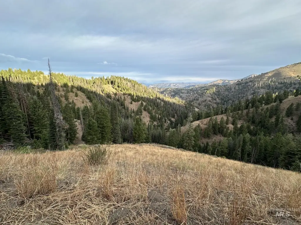
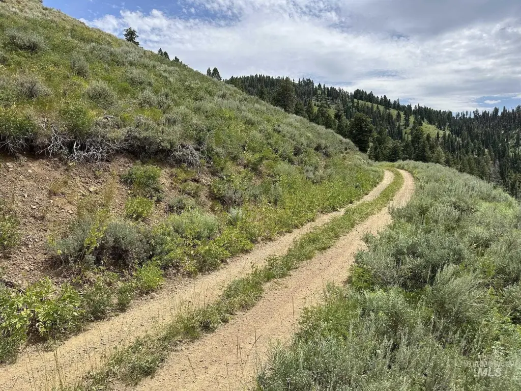
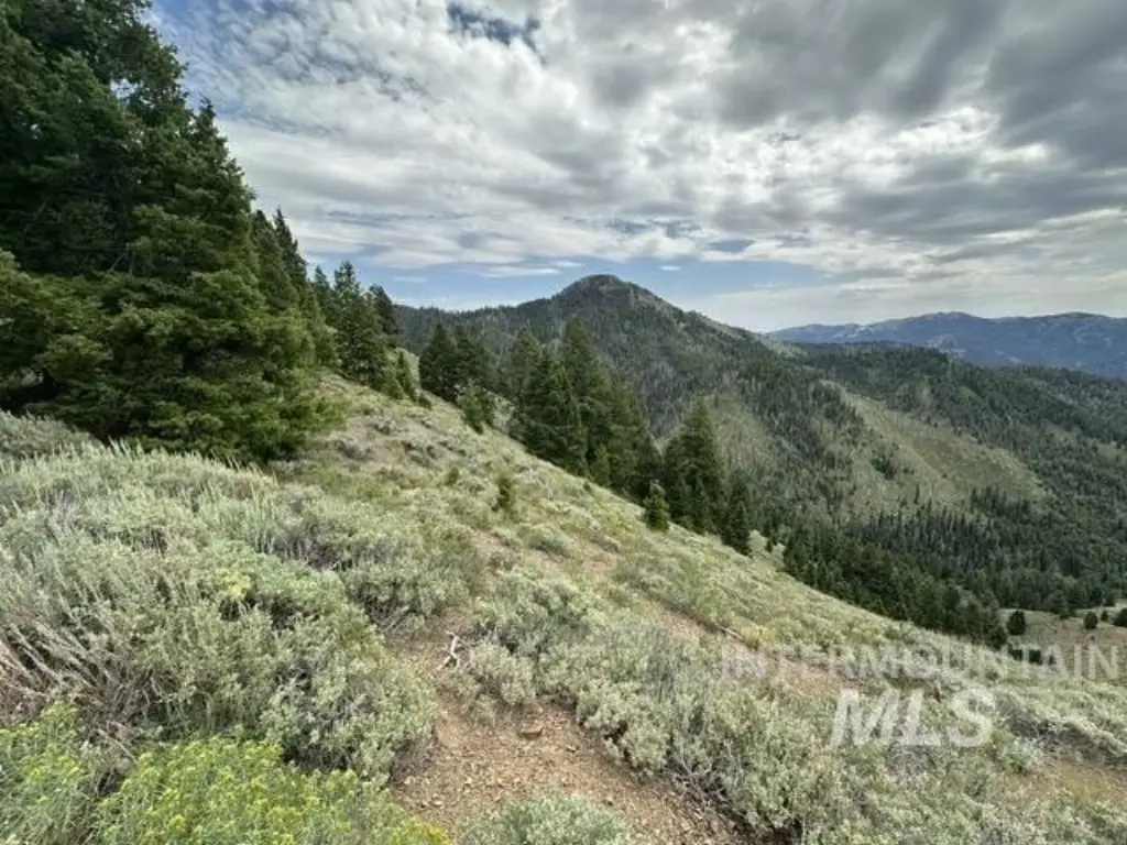
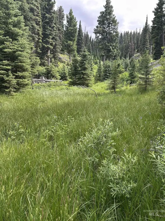
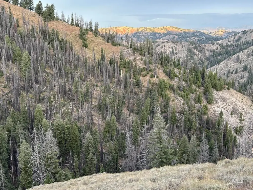
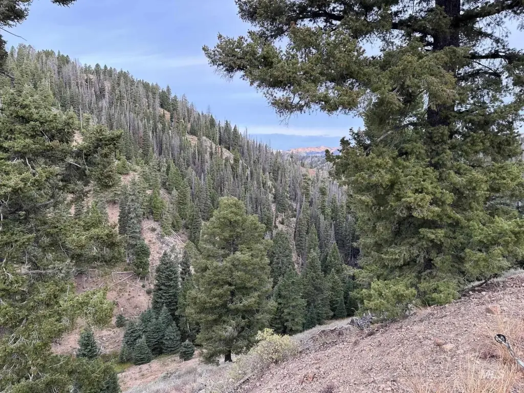
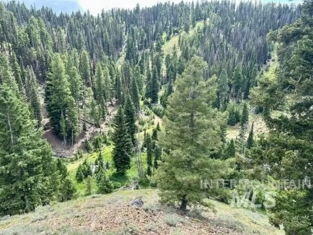
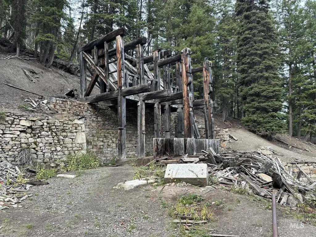
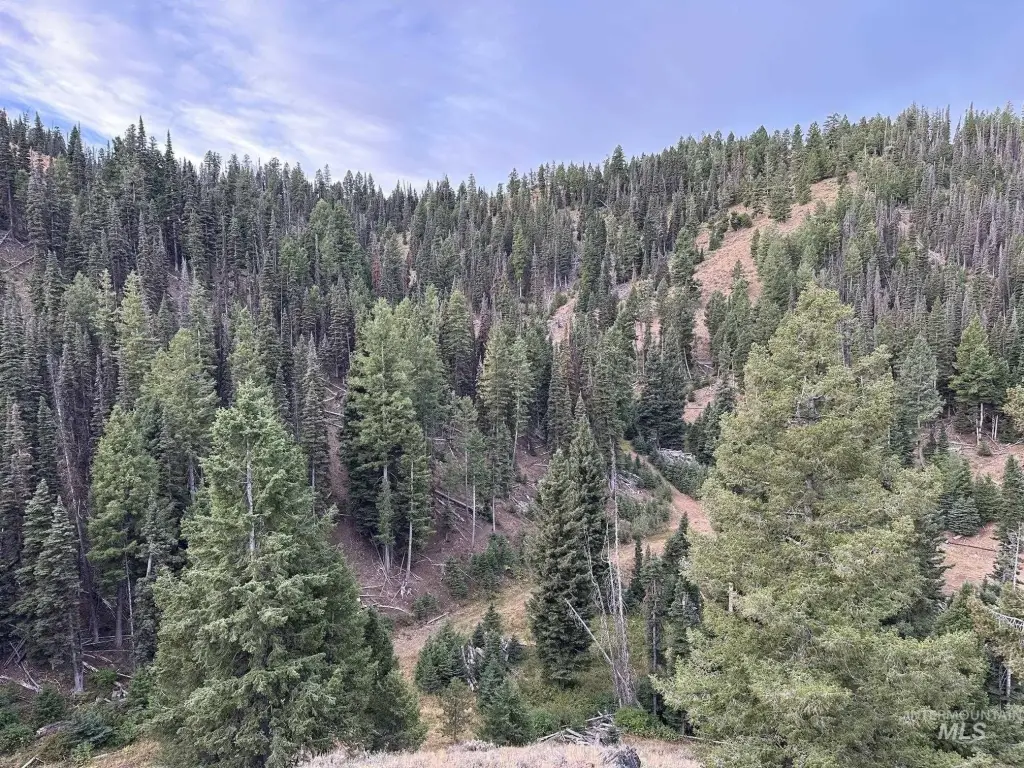
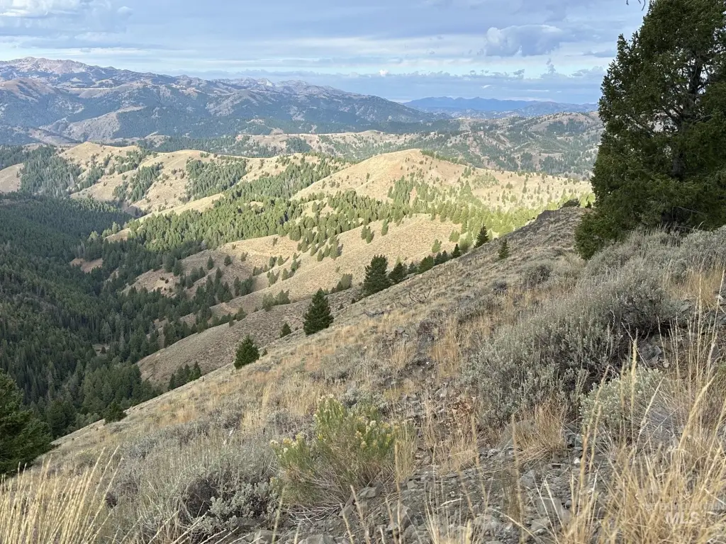
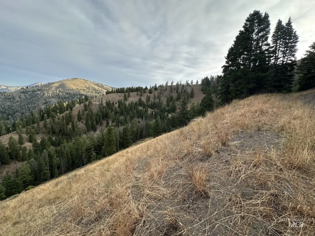
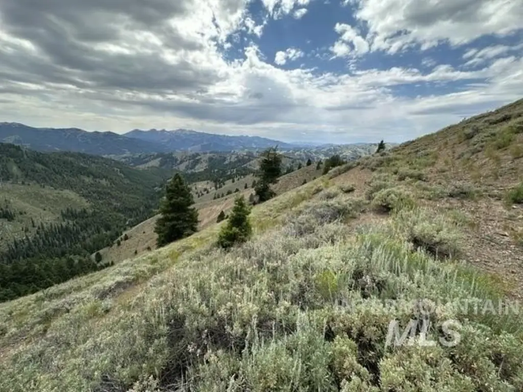
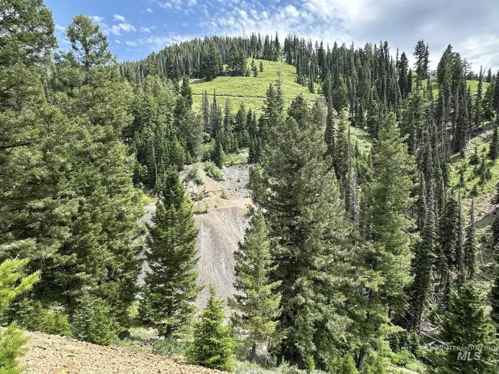
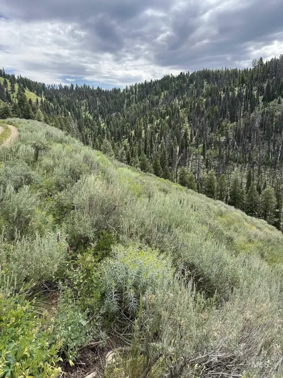
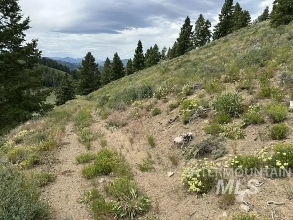
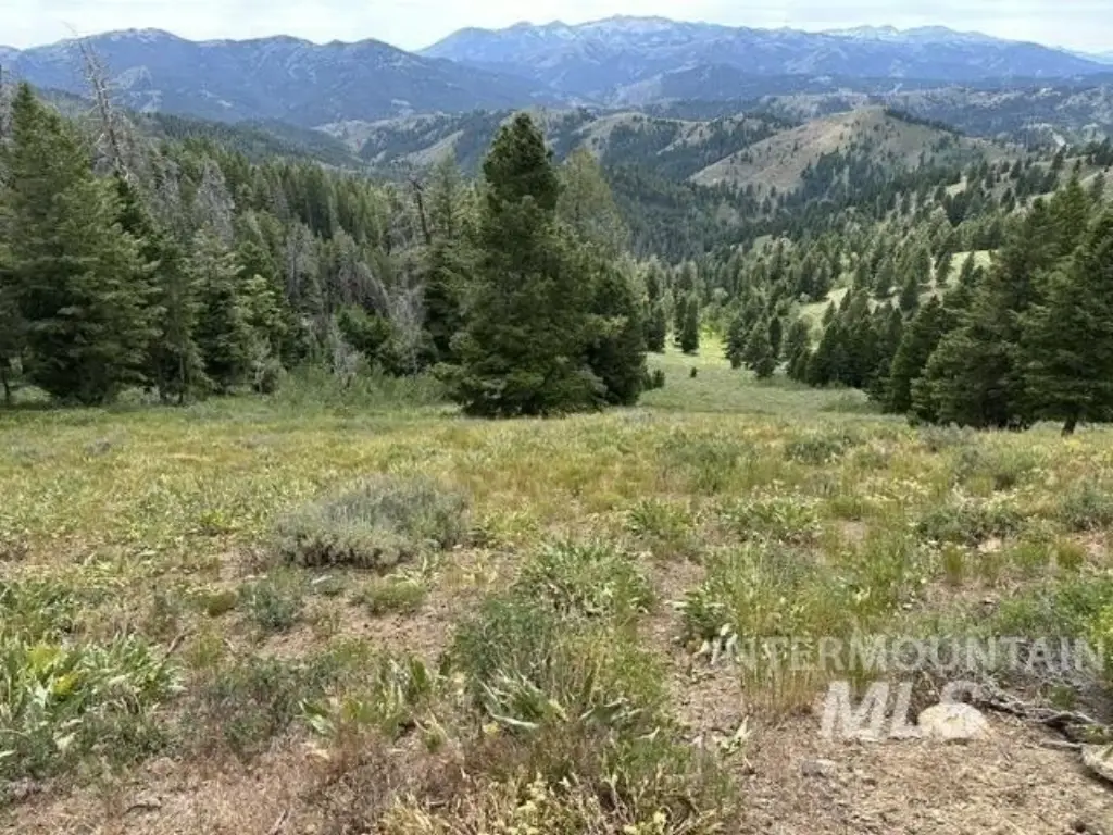
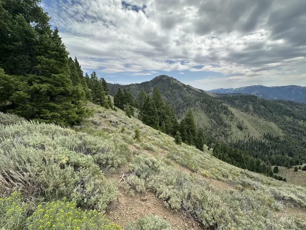
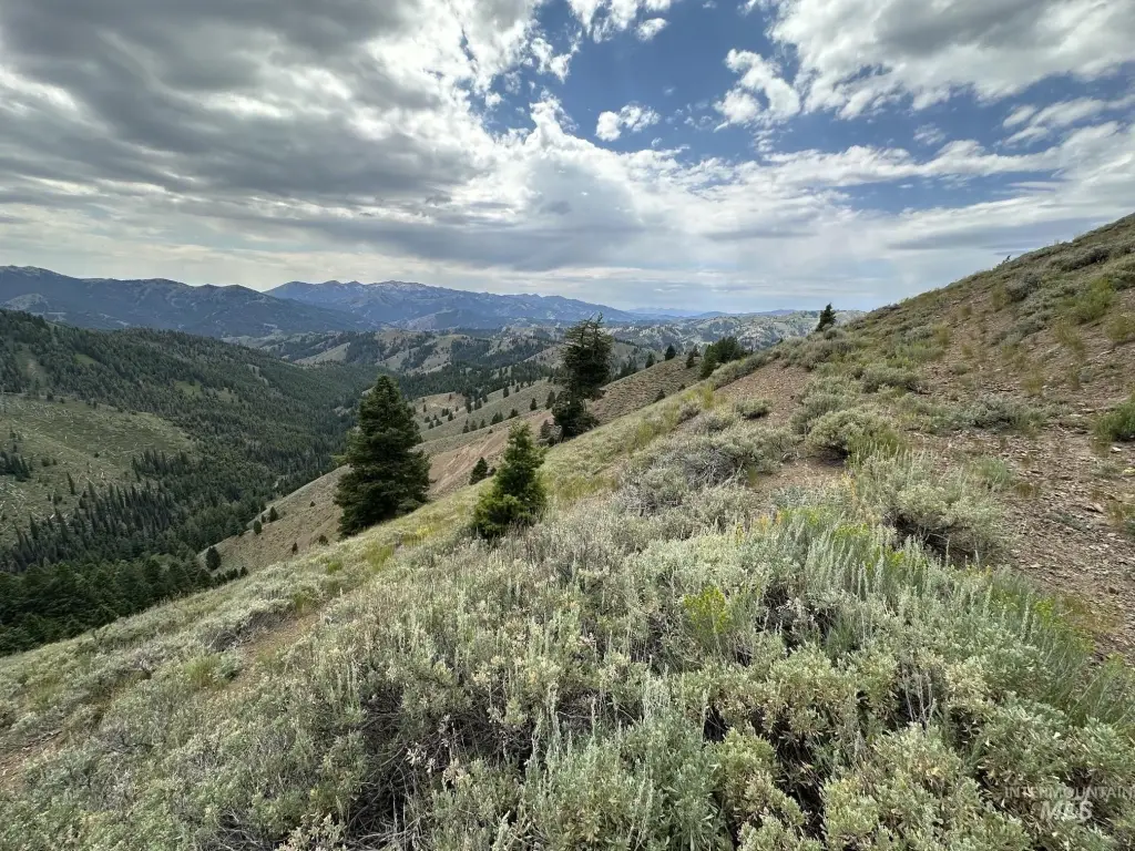
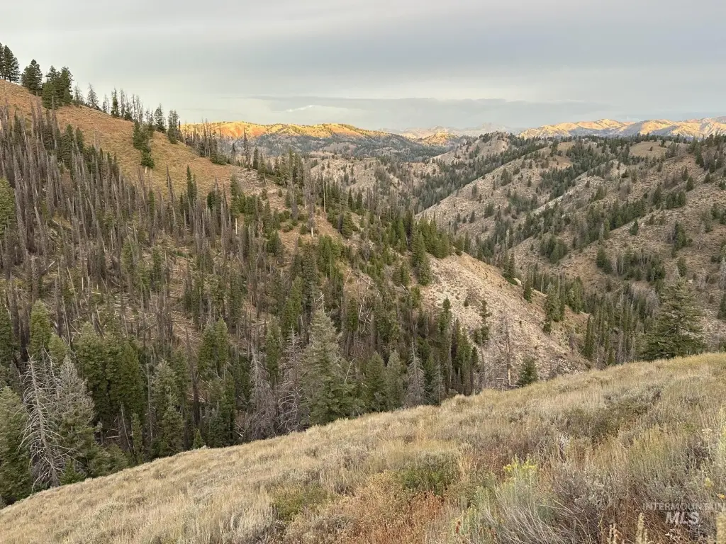
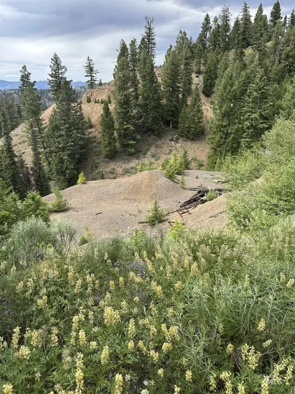
This 192-acre mountain property combines hunting land, varied vegetation, and historic mining features. The terrain includes mature timber, creek-bottom areas, and south-facing sagebrush slopes, with Carrie Creek identified as a waterfront feature. Existing trails and roads provide access across portions of the steep landscape.
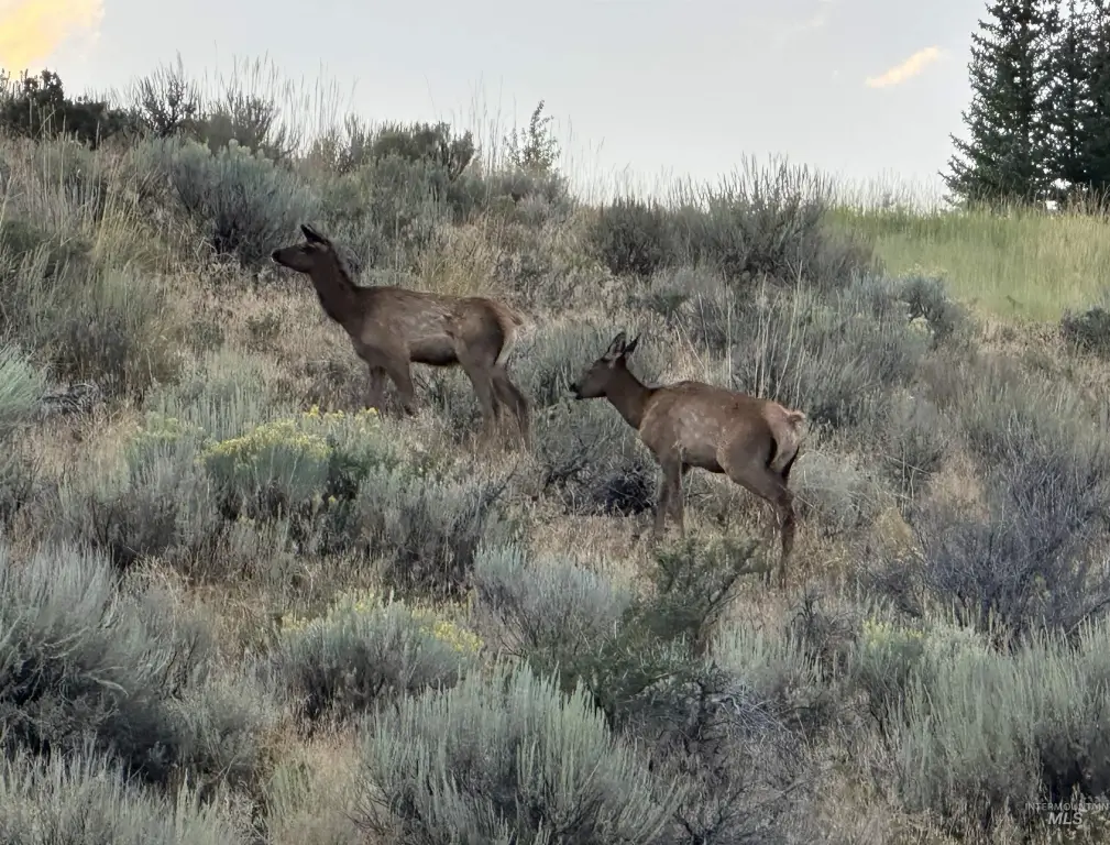
The property is surrounded by Forest Service land and lies within hunting unit #44, with unit #48 along its northern boundary. Elevations range from 7,200 feet along Carrie Creek to 8,400 feet on the ridge. The Silver Star Mine dates to 1881, and its shaft extends 6,200 feet into the mountain. The property is addressed on Carrie Creek Rd. in the Smokey Mountains near Fairfield, Idaho.
The property is surrounded by Forest Service land and lies within hunting unit #44, with unit #48 along its northern boundary. Elevations range from 7,200 feet along Carrie Creek to 8,400 feet on the ridge. The Silver Star Mine dates to 1881, and its shaft extends 6,200 feet into the mountain. The property is addressed on Carrie Creek Rd. in the Smokey Mountains near Fairfield, Idaho.
Key Highlights
- 192 acres of mountain hunting land
- Surrounded by Forest Service land
- Located in hunting unit #44 with unit #48 along the north boundary
Property Analytics
Current Use
Location Intelligence
Trade Area within ½ mile
2
Businesses Nearby
Explore this area
Business Placement
Demographics for 83327, ID
944
Population
574
Households
1.6
Avg Household Size
47
Median Age
31%
College-Educated
84%
High-School Grad
849.7 sq mi
ZIP Area
1
Density / Sq Mi
$59,318
Median Household Income
$30,323
Median Earnings
$992
Median Rent
$247,200
Median Home Value
Market
Vacancy Rate% for Industrial in West region

Questions? Ask Rey
Realmo’s AI knows this listing — price, zoning, demand, history. Ask anything.


Frequently Asked Questions
What type of property is this?
Hunting land - Mountain hunting property with timber, creek bottoms, sagebrush slopes, and access via old trails and roads.
Where is this hunting land located?
The property is located at Carrie Creek Rd. Smokey Mountains Fairfield, ID.
What is the asking price?
The asking price for this property is $895,000.
What are key features of this property?
This property features: 192 acres of mountain hunting land; Surrounded by Forest Service land; Located in hunting unit #44 with unit #48 along the north boundary


